Elevation of Mission Dr, Solvang, CA, USA
Location: United States > California > Santa Barbara County > Solvang >
Longitude: -120.10165
Latitude: 34.6062398
Elevation: 188m / 617feet
Barometric Pressure: 99KPa
Elevation Map:
Satellite Map:
Related Photos:
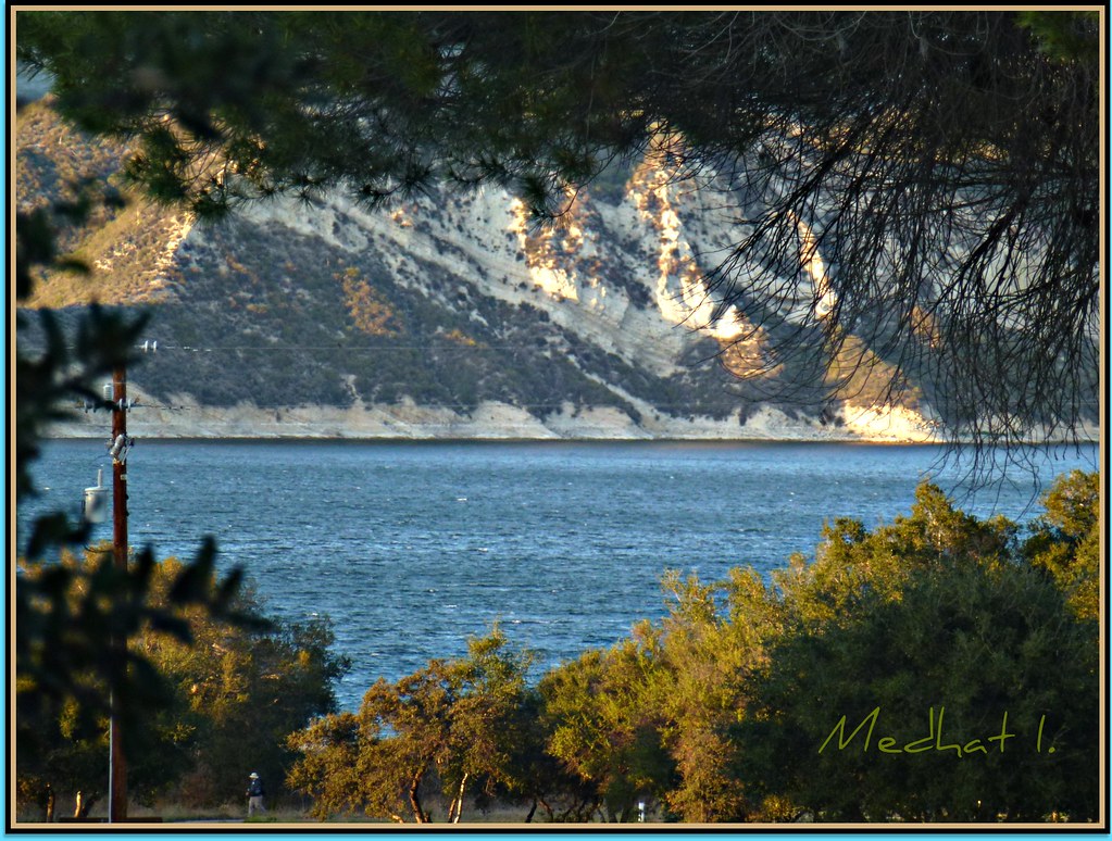
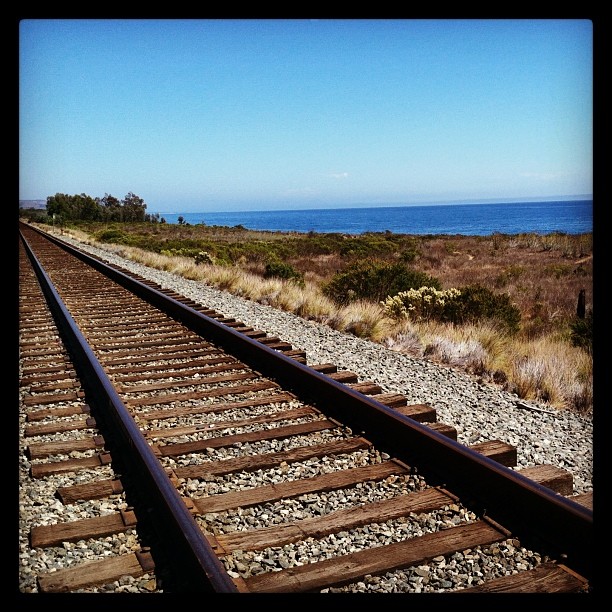
Coastal Views! P1060570
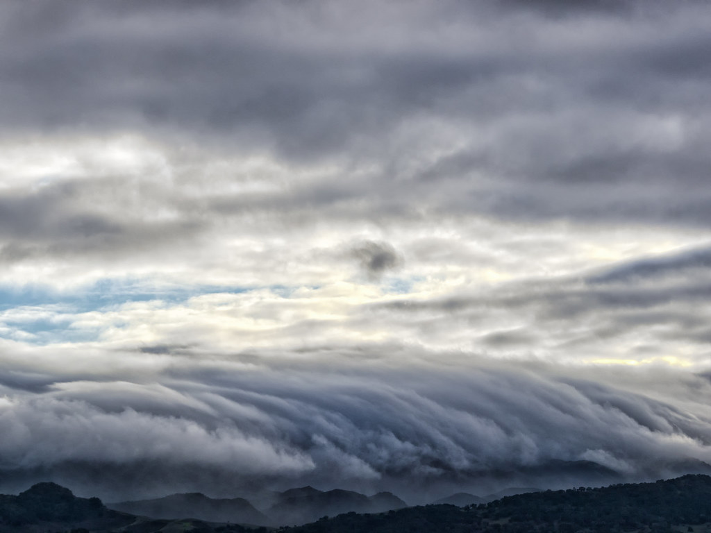
Coastal Views! 2052 "One Shot Despite of the Layered Look!" [February 27, 2012]

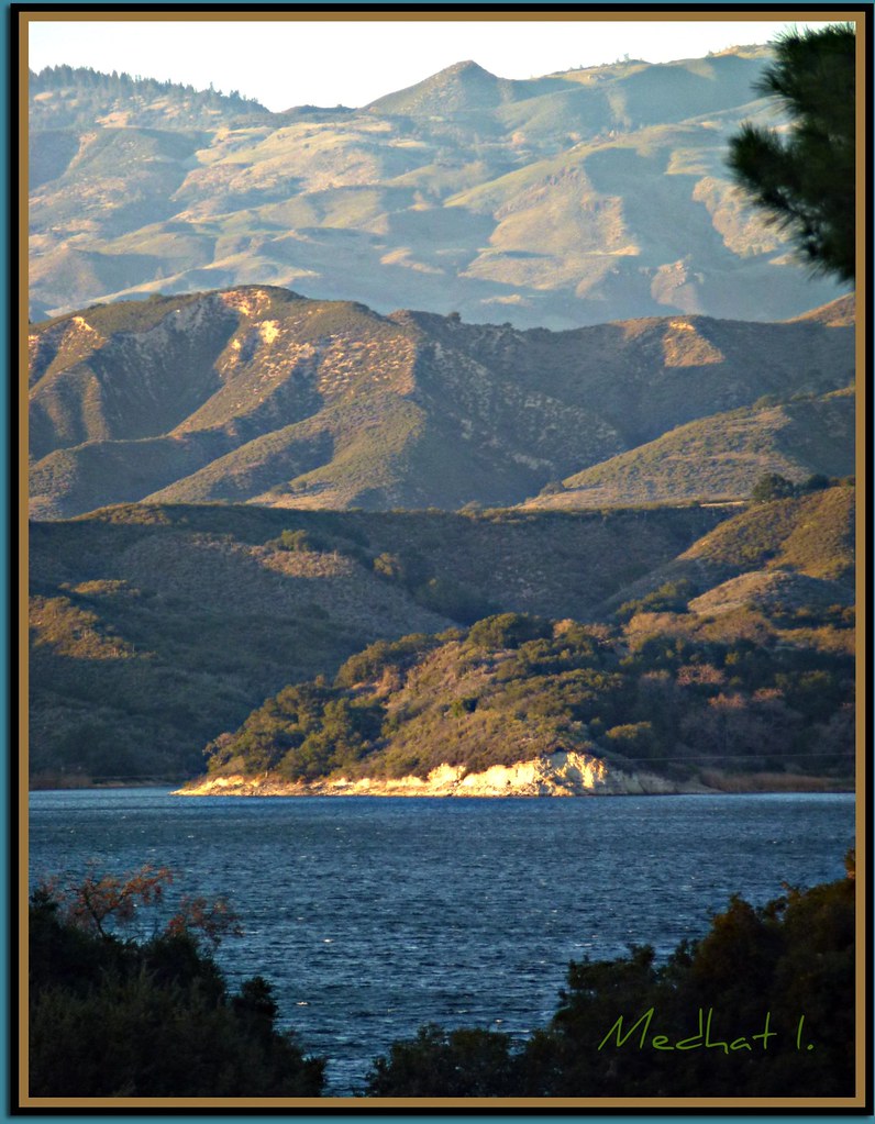
Coastal Views! P1060577
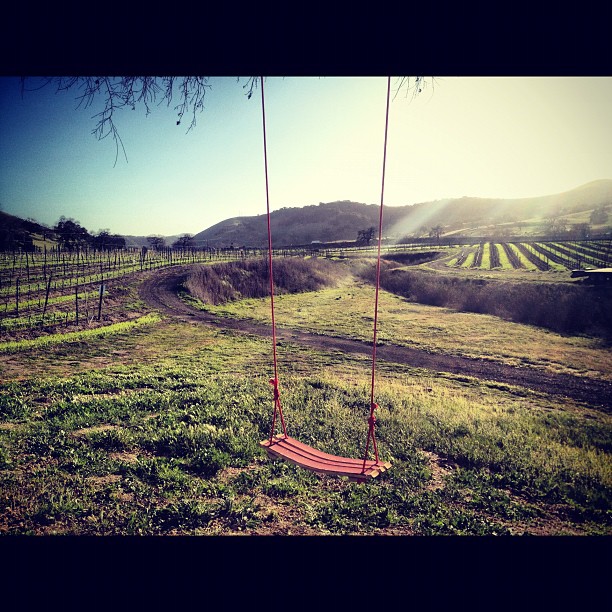
A swing with a view! We build it, you buy it. 805-688-1200

The New Breed of Speed?
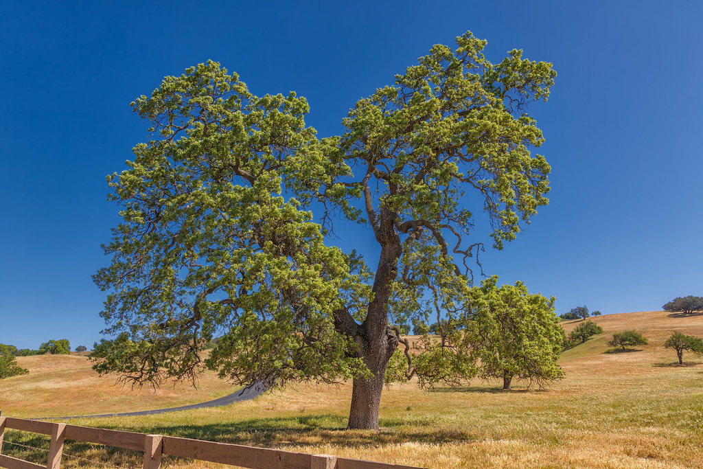
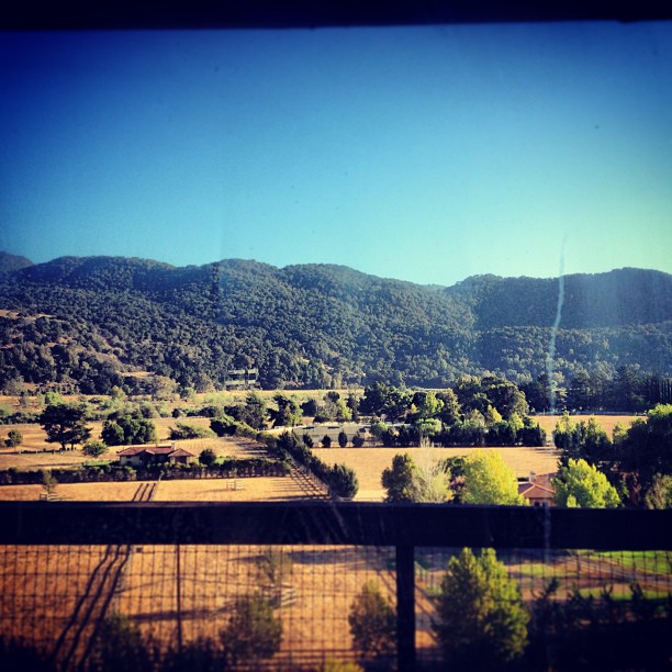
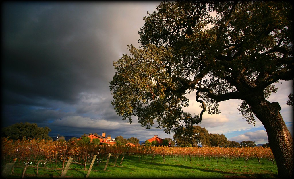
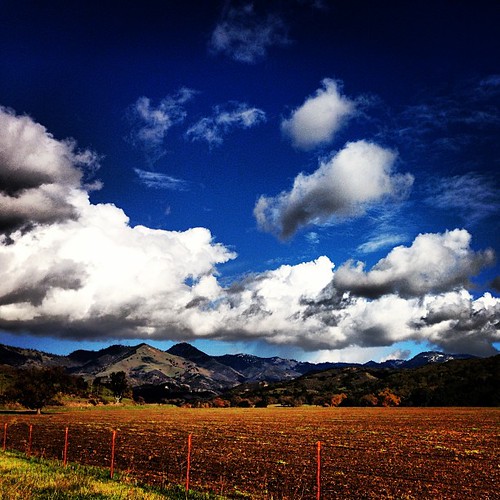
Santa Ynez Valley - California
My Old Friend

Bulldog cafe'

Blowin' In The Wind

Awesome view from @thereaganranch
Kitchen view
I got in a heap of trouble for taking this photo. It's possible I deserved that. But the real crime is that it doesn't do any justice to the actual view. No justice at all. #sunsetporn #sunset #friday #weekend #roadtrip #socal #california #cachumapass #c

Jump for Vino!
Faux Moon
View from the 101. What a road trip!! #california #losangeles #travel #travellove #travelphotography #ocean #roadtrip
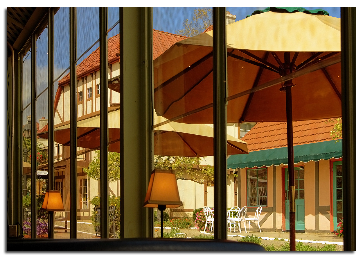
Glassed View

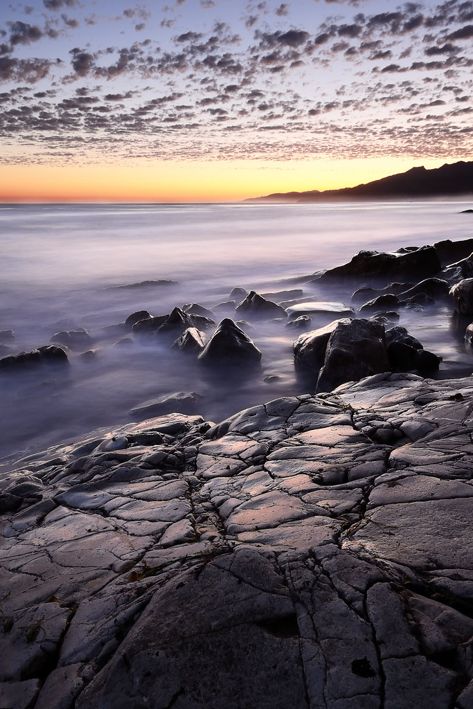
A Beach Near Santa Barbara
Penthouse View #saarloosharvest
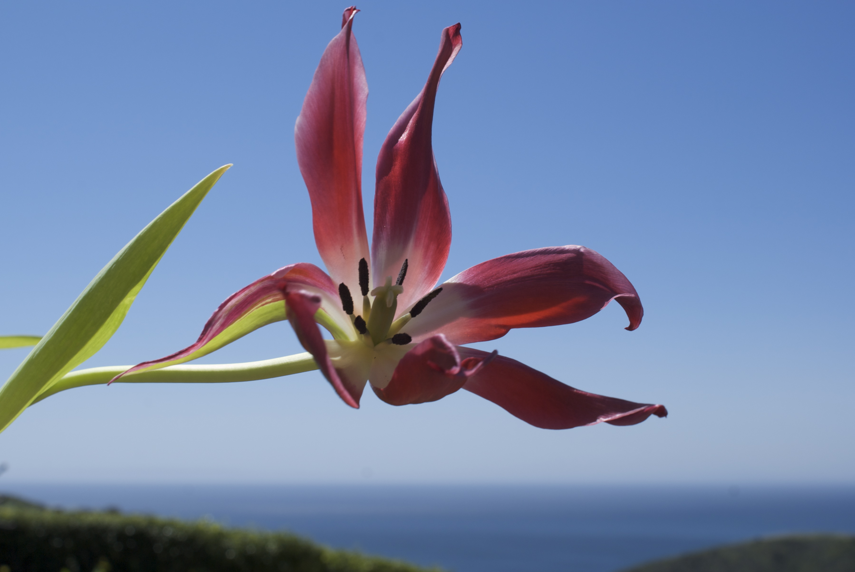
dying tulip enjoying the view

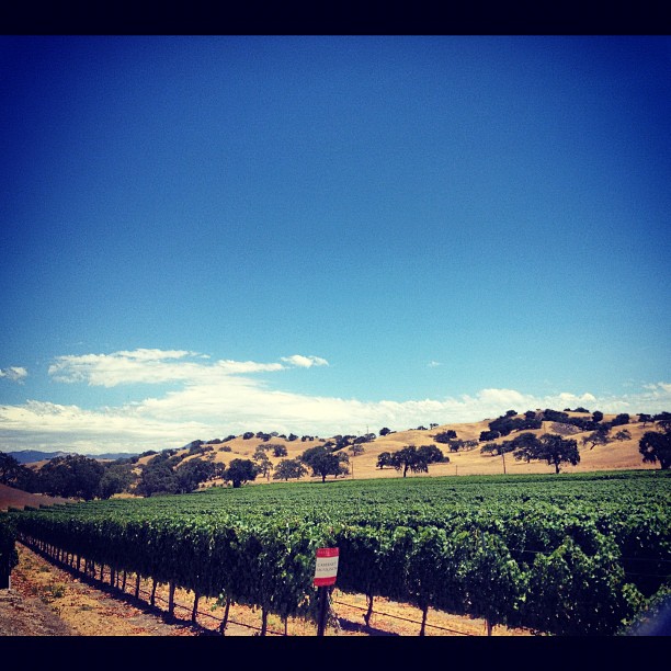
Santa Ynez Valley
SANTA YNEZ VALLEY,CALIFORNIA
Evening in blue & gold
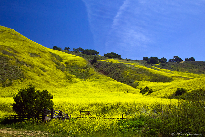
Endless Fields of Mustard F4KV3117
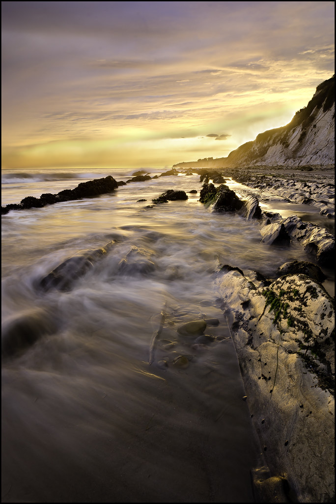
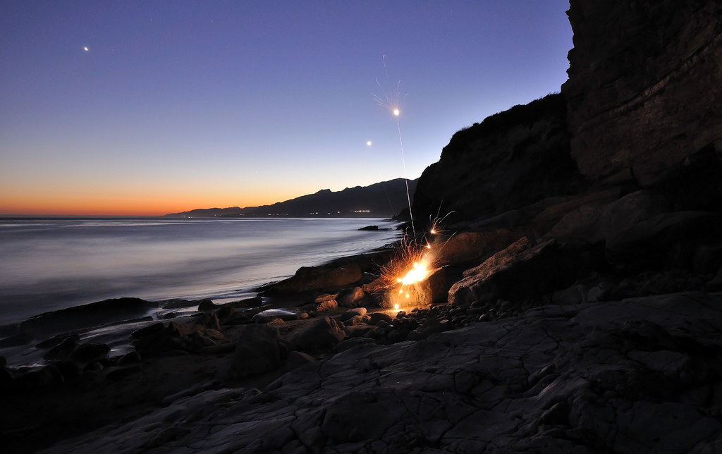
Arroyo Honda sunset

Refugio Moonrise

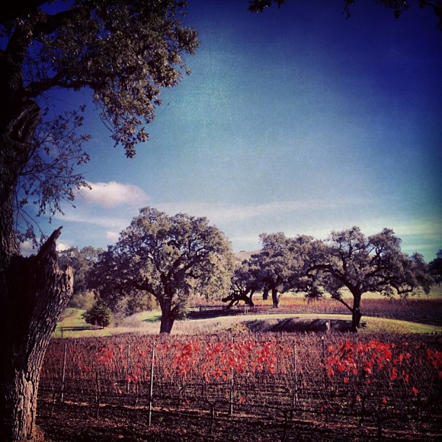
The Road to.... Wine!
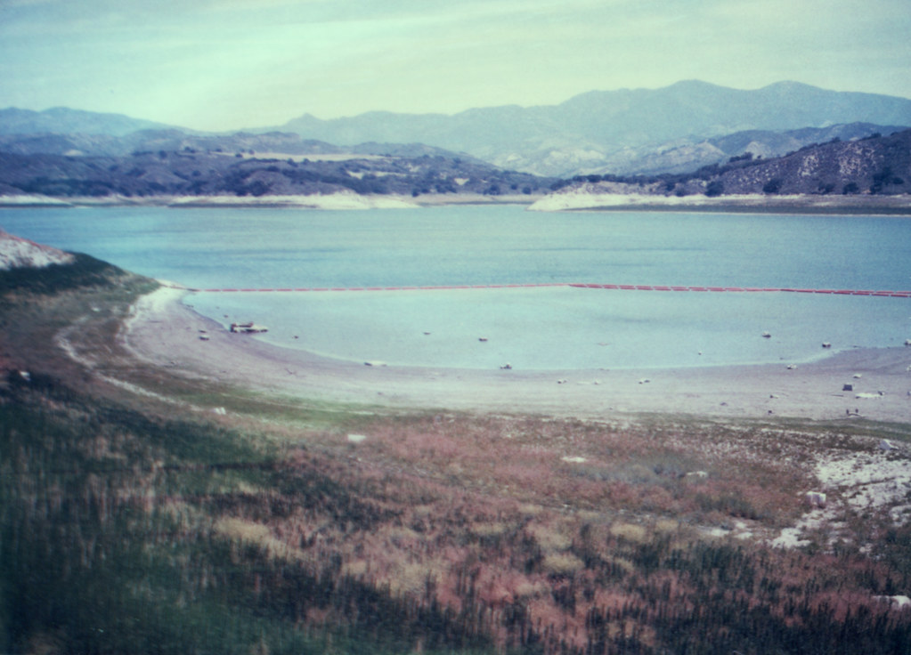
low water (or drought, part 2)
Looking toward Figueroa Mountain in between storms.

Refugio beach cobbles
We raise our own feed for our cattle #neverleavehome
#fall #roadtrip
Sunset Approaches, Santa Barbara
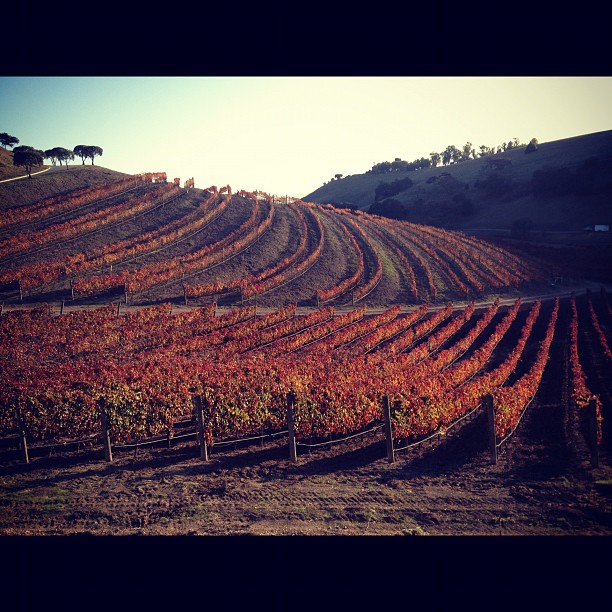
Seas of Green
We were never meant to work indoors.

SsCo. - farming -

The Womb of Wine
Red dawn

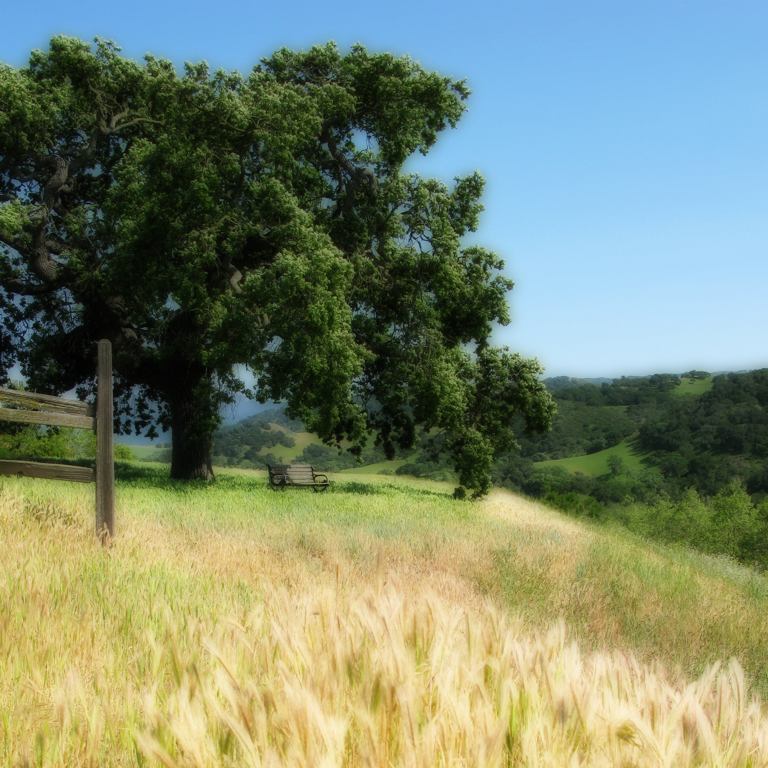
Sunday hikes...
Topographic Map of Mission Dr, Solvang, CA, USA
Find elevation by address:

Places near Mission Dr, Solvang, CA, USA:
3350 Numancia St
3400 Ca-246
1330 Willow St
Santa Ynez
2097 Rebild Dr
Tivola St, Santa Ynez, CA, USA
Solvang
Copenhagen Drive
4024 Indian Way
4080 Indian Way
1570 Mountain View Dr
531 Park View Trail
2169 Refugio Rd
51 E Hwy, Buellton, CA, USA
Buellton
Nojoqui Falls
6660 Happy Canyon Rd
US-, Goleta, CA, USA
US-, Goleta, CA, USA
San Julian Rd, Gaviota, CA, USA
Recent Searches:
- Elevation of Leguwa, Nepal
- Elevation of County Rd, Enterprise, AL, USA
- Elevation of Kolchuginsky District, Vladimir Oblast, Russia
- Elevation of Shustino, Vladimir Oblast, Russia
- Elevation of Lampiasi St, Sarasota, FL, USA
- Elevation of Elwyn Dr, Roanoke Rapids, NC, USA
- Elevation of Congressional Dr, Stevensville, MD, USA
- Elevation of Bellview Rd, McLean, VA, USA
- Elevation of Stage Island Rd, Chatham, MA, USA
- Elevation of Shibuya Scramble Crossing, 21 Udagawacho, Shibuya City, Tokyo -, Japan