Elevation of No., Zhongshan Rd, Shanhua District, Tainan City, Taiwan
Location: Taiwan > Tainan City > Shanhua District > 光文里 >
Longitude: 120.296761
Latitude: 23.1321292
Elevation: 18m / 59feet
Barometric Pressure: 101KPa
Elevation Map:
Satellite Map:
Related Photos:
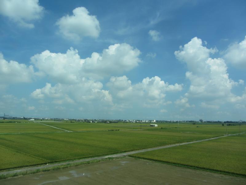
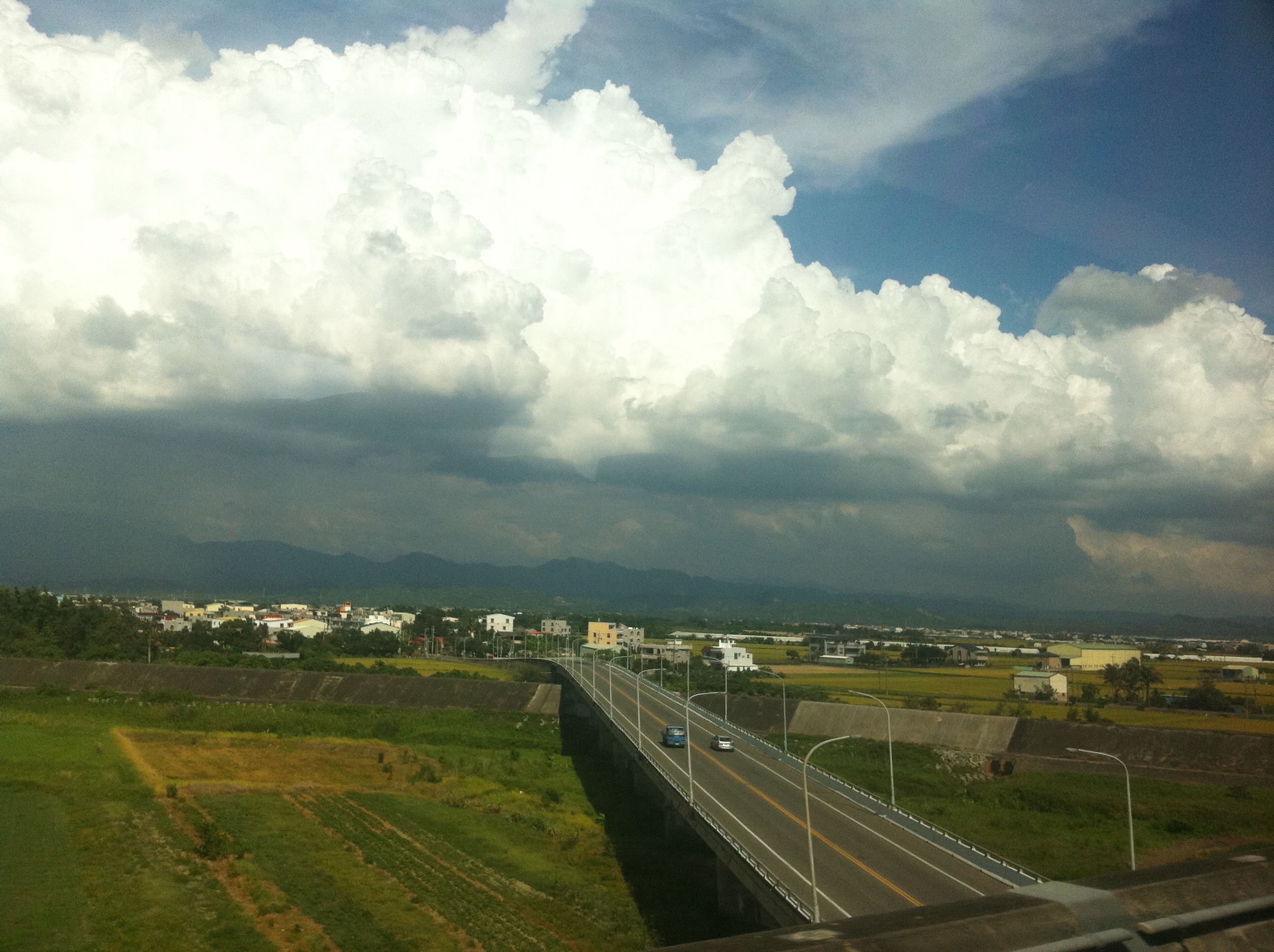
View From THSR Window
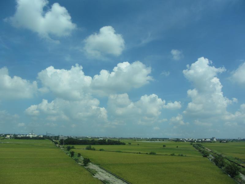
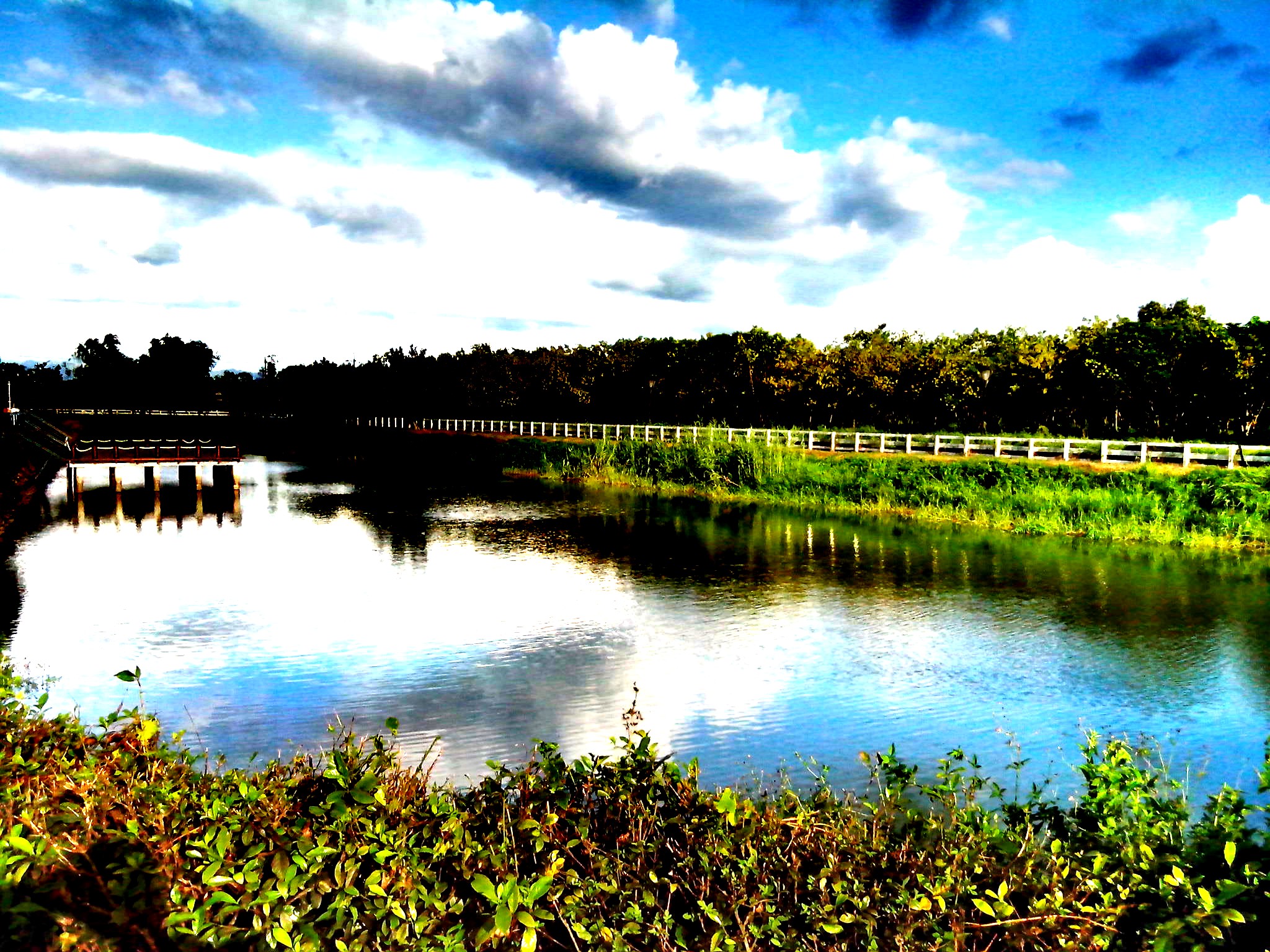
View From THSR Window

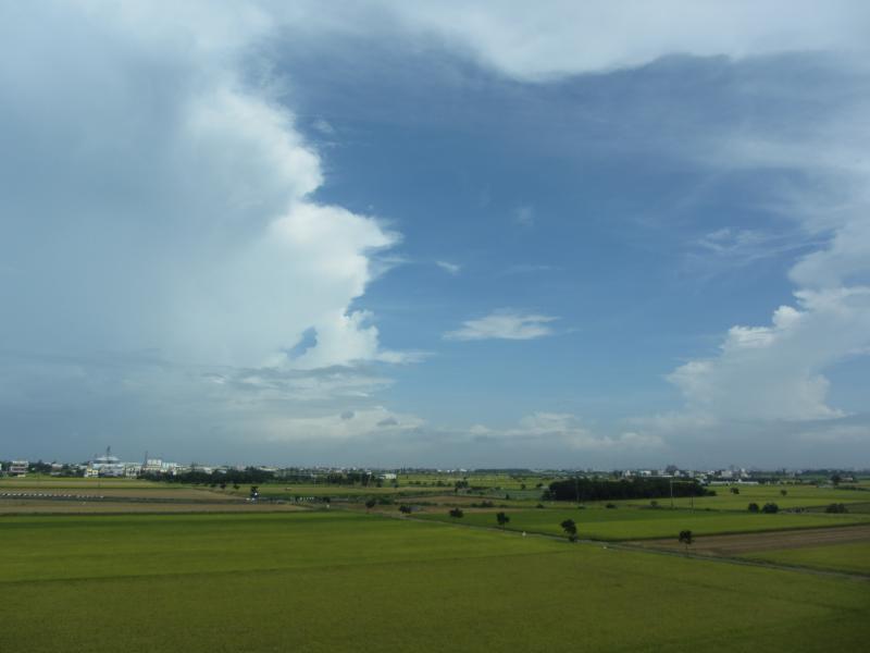
View From THSR Window

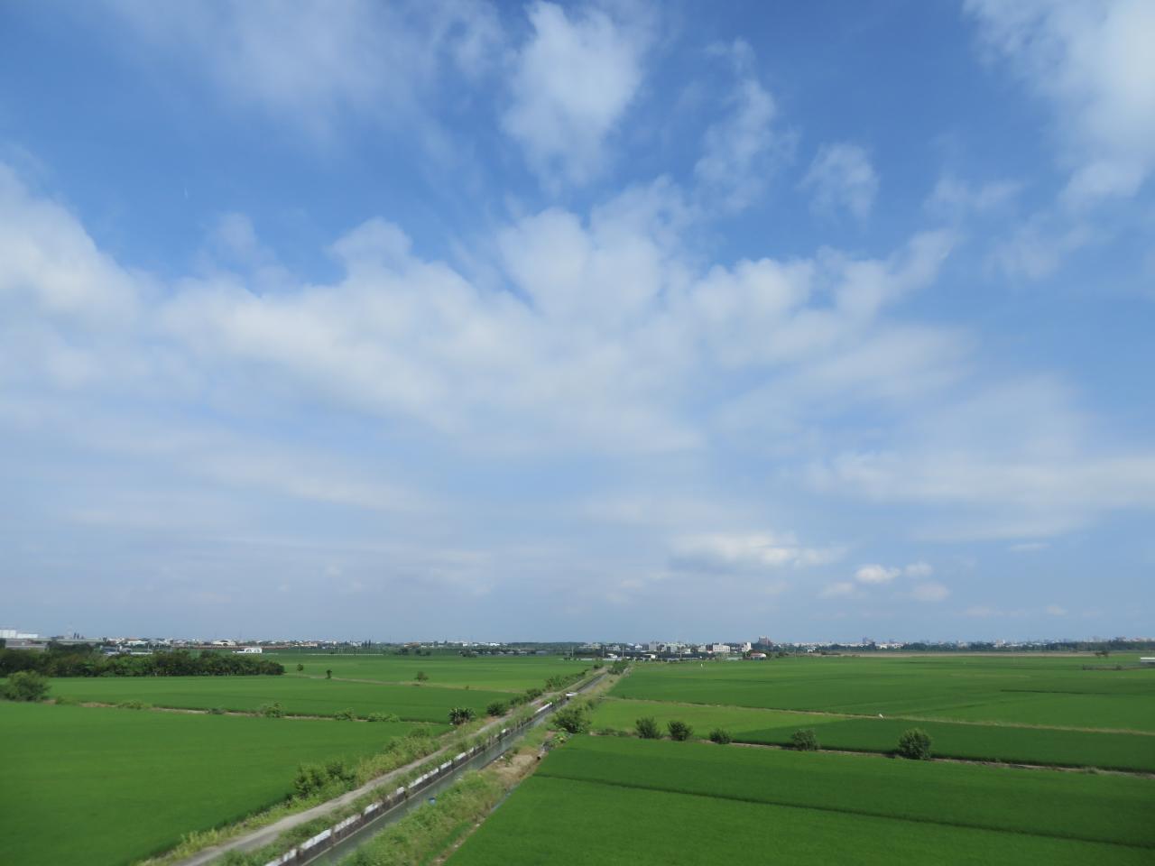
View From THSR Window
View From THSR Window
View From THSR Window

夏季雲

IMG_3527-1
6-12-2011 15-11-00
20140623柳營荷蘭村

IMG_1702.jpg

好美喔!

IMAG0221-1

沈默的吶喊

~IMGP3739

Sunset 23/06/2016

P2260393-1
PA310159-1

Check This Out On The Road Clouds And Sky Rural Landscape Sunset

Sony Xperia Z1
DSC_9033-1

P1290226-1

P1290224-1

~IMGP3719
Topographic Map of No., Zhongshan Rd, Shanhua District, Tainan City, Taiwan
Find elevation by address:

Places near No., Zhongshan Rd, Shanhua District, Tainan City, Taiwan:
光文里
Shanhua District
No. 11, Zhongzheng Rd, Shanhua District, Tainan City, Taiwan
文昌里
小新里
No., Liantan Rd, Shanhua District, Tainan City, Taiwan
溪底寮
六分里
東勢寮
138-1
三舍里
Taiwan, Tainan City, Xinshi District, 南鄉道30號
東隆里
大營里
No., Dashun 6th Rd, Xinshi District, Tainan City, Taiwan
Taiwan, Tainan City, Shanhua District, 67
安業里
Taiwan, Tainan City, Xinshi District, 南鄉道號
Taiwan, Tainan City, Shanshang District, 南-1鄉道30號
明和里
Recent Searches:
- Elevation of Congressional Dr, Stevensville, MD, USA
- Elevation of Bellview Rd, McLean, VA, USA
- Elevation of Stage Island Rd, Chatham, MA, USA
- Elevation of Shibuya Scramble Crossing, 21 Udagawacho, Shibuya City, Tokyo -, Japan
- Elevation of Jadagoniai, Kaunas District Municipality, Lithuania
- Elevation of Pagonija rock, Kranto 7-oji g. 8"N, Kaunas, Lithuania
- Elevation of Co Rd 87, Jamestown, CO, USA
- Elevation of Tenjo, Cundinamarca, Colombia
- Elevation of Côte-des-Neiges, Montreal, QC H4A 3J6, Canada
- Elevation of Bobcat Dr, Helena, MT, USA