Elevation of No., Liantan Rd, Shanhua District, Tainan City, Taiwan
Location: Taiwan > Tainan City > Shanhua District > 小新里 >
Longitude: 120.307970
Latitude: 23.1136556
Elevation: 12m / 39feet
Barometric Pressure: 101KPa
Elevation Map:
Satellite Map:
Related Photos:
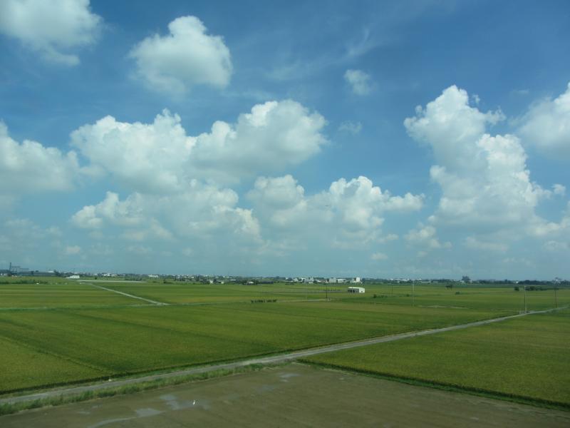
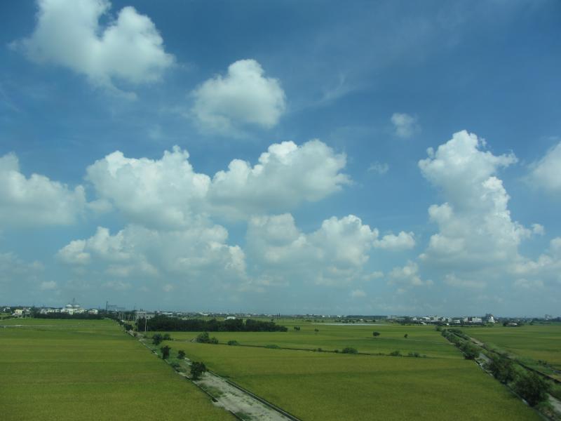
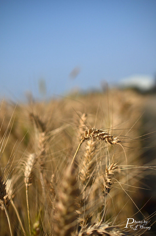
View From THSR Window
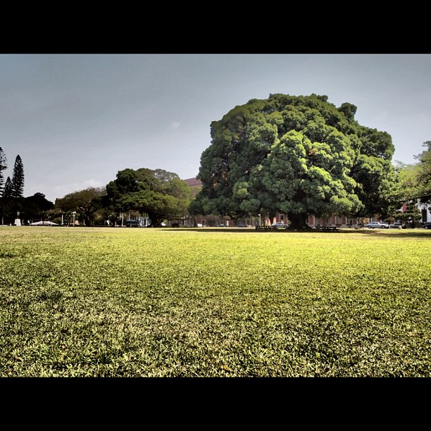
榕

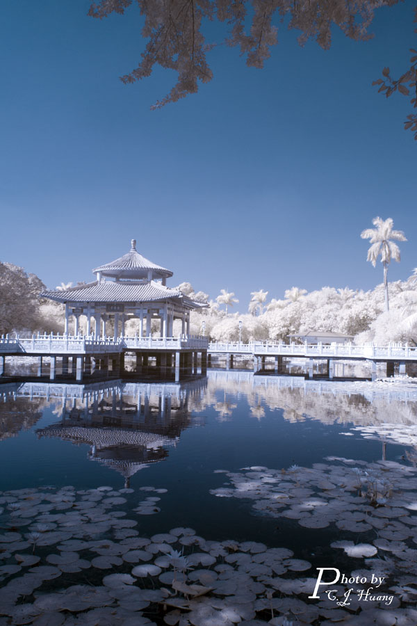
沈默的吶喊

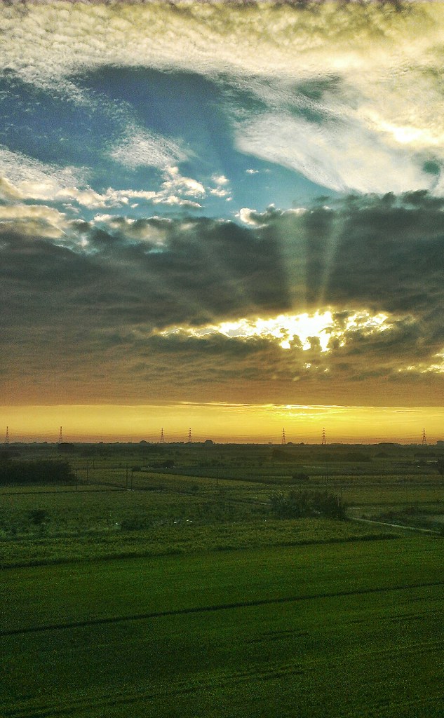
Sunset 23/06/2016
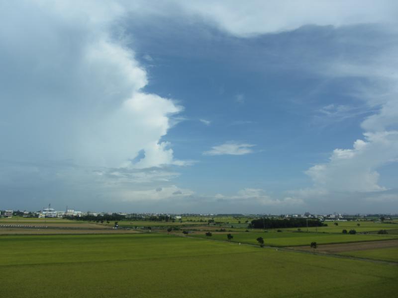
Check This Out On The Road Clouds And Sky Rural Landscape Sunset

IMG_1702.jpg
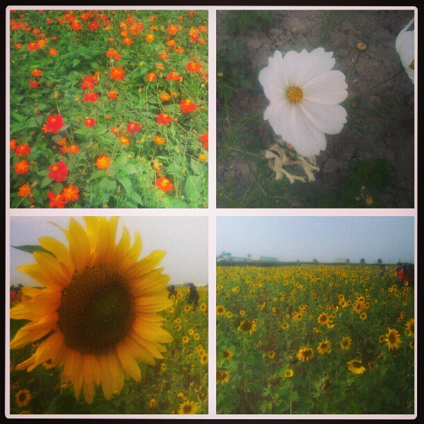
好美喔!

IMAG0221-1
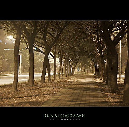
Midnight Bikepath 02 (Explore Oct 23, 2009 #209)

夏季雲

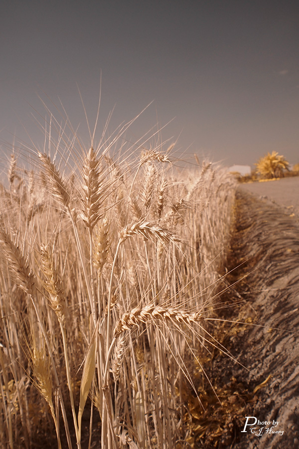
~IMGP3739
P2260393-1
PA310159-1
View From THSR Window

Sony Xperia Z1
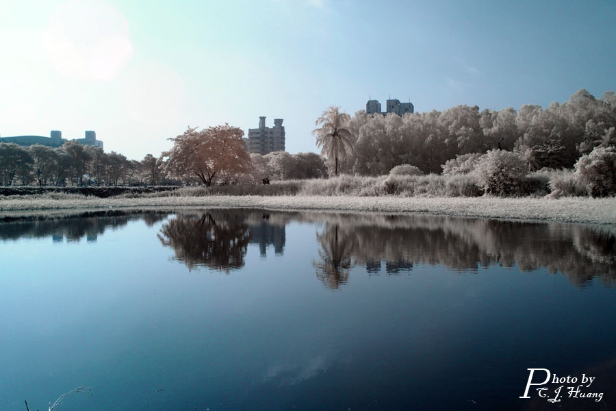
DSC_9033-1

P1290226-1

P1290224-1
PB200273-T
View From THSR Window

~IMGP3719
Topographic Map of No., Liantan Rd, Shanhua District, Tainan City, Taiwan
Find elevation by address:

Places near No., Liantan Rd, Shanhua District, Tainan City, Taiwan:
小新里
Taiwan, Tainan City, Xinshi District, 南鄉道30號
文昌里
No. 11, Zhongzheng Rd, Shanhua District, Tainan City, Taiwan
大營里
三舍里
No., Zhongshan Rd, Shanhua District, Tainan City, Taiwan
光文里
No., Dashun 6th Rd, Xinshi District, Tainan City, Taiwan
Taiwan, Tainan City, Xinshi District, 南鄉道號
Shanhua District
大社里
Taiwan, Tainan City, Shanshang District, 南-1鄉道30號
明和里
港墘里
Taiwan, Tainan City, Xinshi District, 南鄉道9號
Xinshi District
Taiwan, Tainan City, Xinshi District, 南鄉道號
Taiwan, Tainan City, Shanshang District, 南鄉道6號
潭頂里
Recent Searches:
- Elevation of Woodland Oak Pl, Thousand Oaks, CA, USA
- Elevation of Brownsdale Rd, Renfrew, PA, USA
- Elevation of Corcoran Ln, Suffolk, VA, USA
- Elevation of Mamala II, Sariaya, Quezon, Philippines
- Elevation of Sarangdanda, Nepal
- Elevation of 7 Waterfall Way, Tomball, TX, USA
- Elevation of SW 57th Ave, Portland, OR, USA
- Elevation of Crocker Dr, Vacaville, CA, USA
- Elevation of Pu Ngaol Community Meeting Hall, HWHM+3X7, Krong Saen Monourom, Cambodia
- Elevation of Royal Ontario Museum, Queens Park, Toronto, ON M5S 2C6, Canada