Elevation of NM-, Polvadera, NM, USA
Location: United States > New Mexico > Socorro County > Polvadera >
Longitude: -106.90751
Latitude: 34.2019787
Elevation: 1414m / 4639feet
Barometric Pressure: 85KPa
Elevation Map:
Satellite Map:
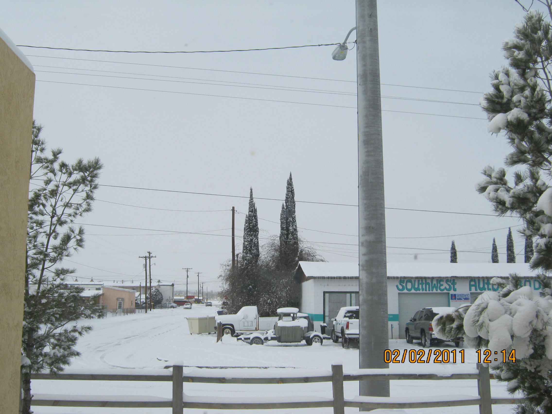
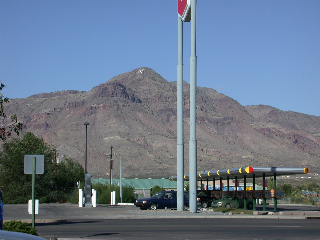
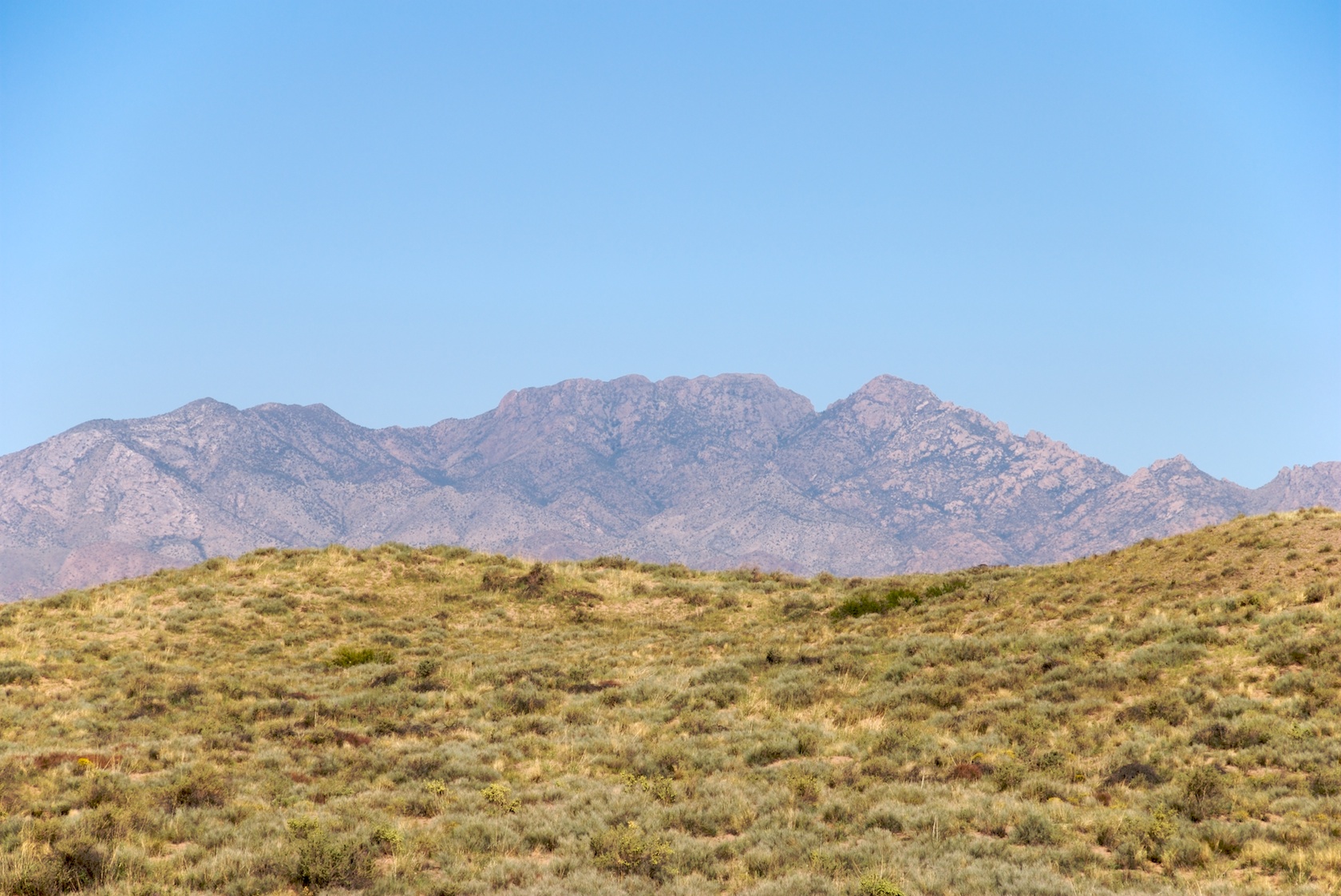
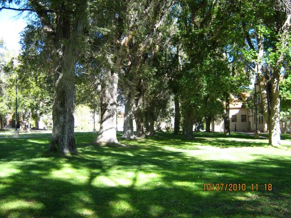
Related Photos:

No Observing Tonight
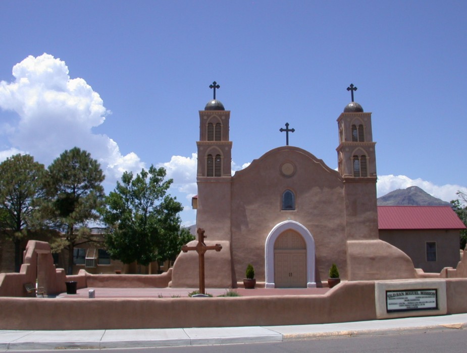
San Miguel de Socorro Animated

Auto Carrier
Heading South to Socorro
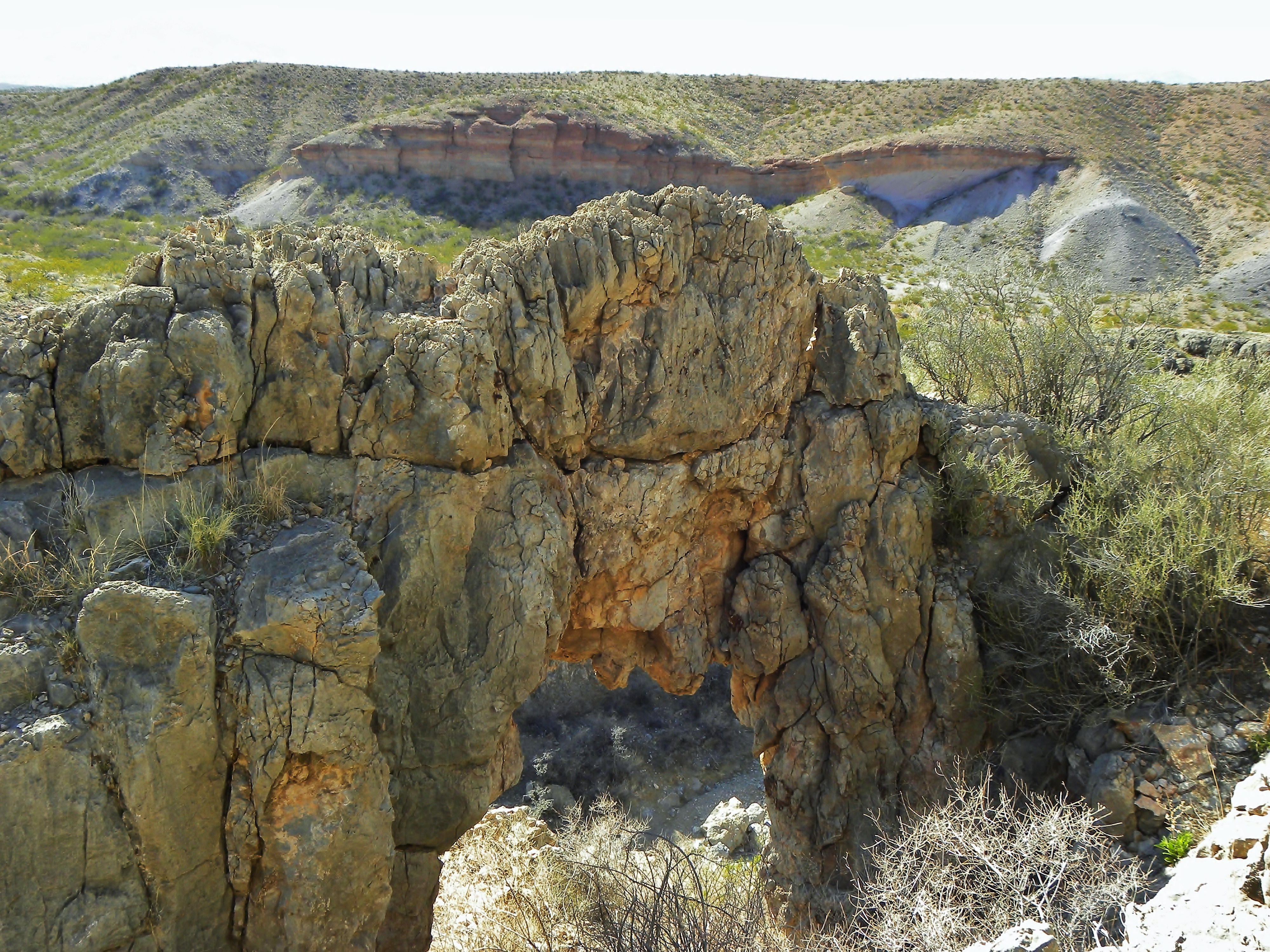
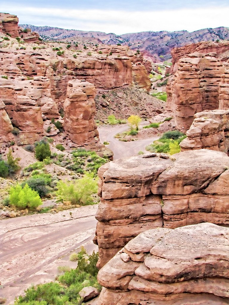
Above NM-355 Quebradas Arch
San Lorenzo Canyon, New Mexico

1971 Beetle
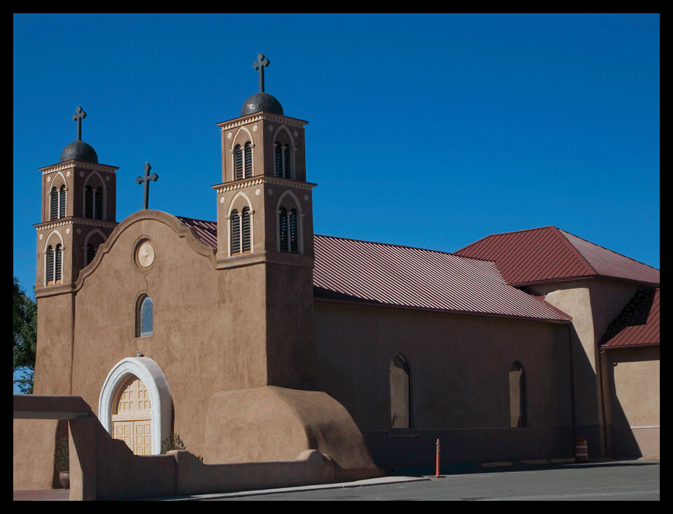
Socorro, NM 3299a
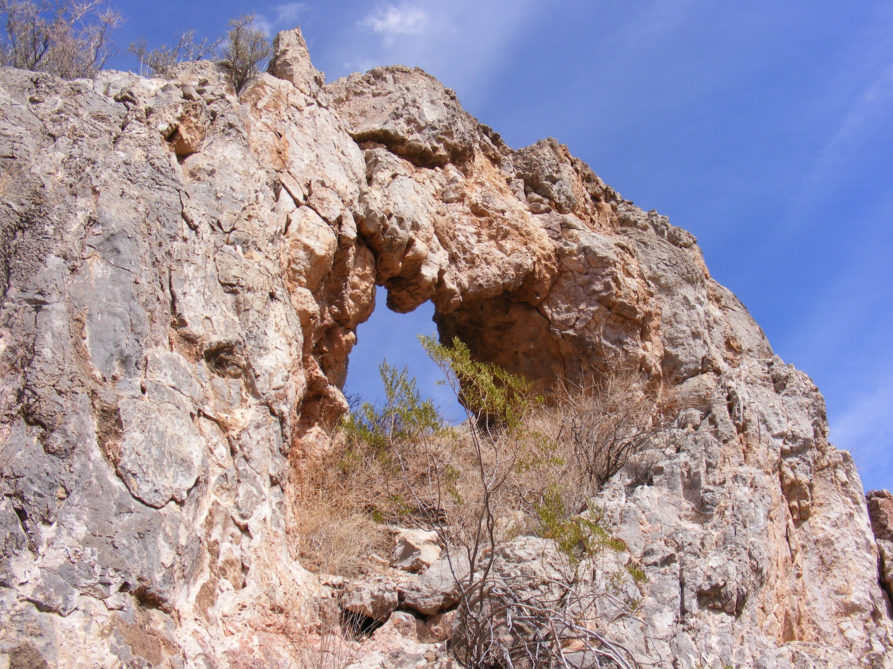
Quebradas Arch NM-355

View from Sevilleta NWR

Interior of Forgotten Church NM 1986

Rest stop with a view! On the way to the VLA...
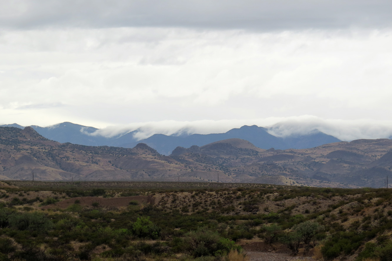
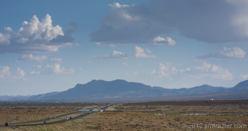
The view along I-25
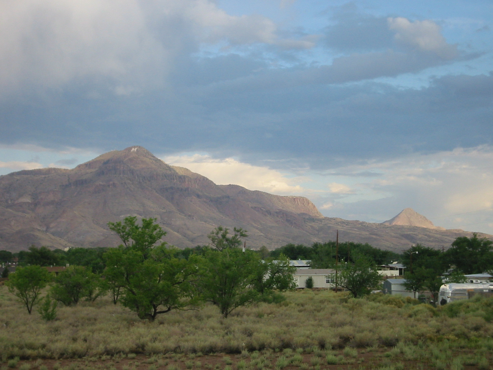
Socorro Mountain
W View
The view from Socorro
View Northwest From Acomilla Historic Marker on I-25
NMT View

The view along I-25
The view along I-25
The view along I-25

"Hi Mom!" from San Lorenzo Canyon
San Lorenzo Canyon

M is for Mining...[Explored 08-02-2013]

Socorro, Aug 4, 2008
San Lorenzo Sunrise

Morning Light

rio grande valley, upstream
San Lorenzo Canyon

Socorro, New Mexico
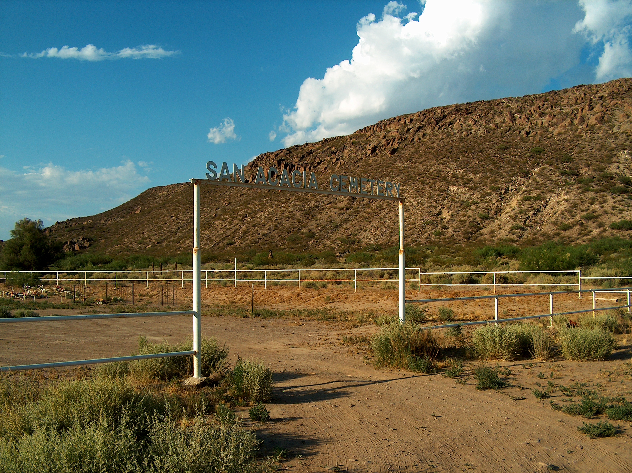
San Acacia
Bliss?
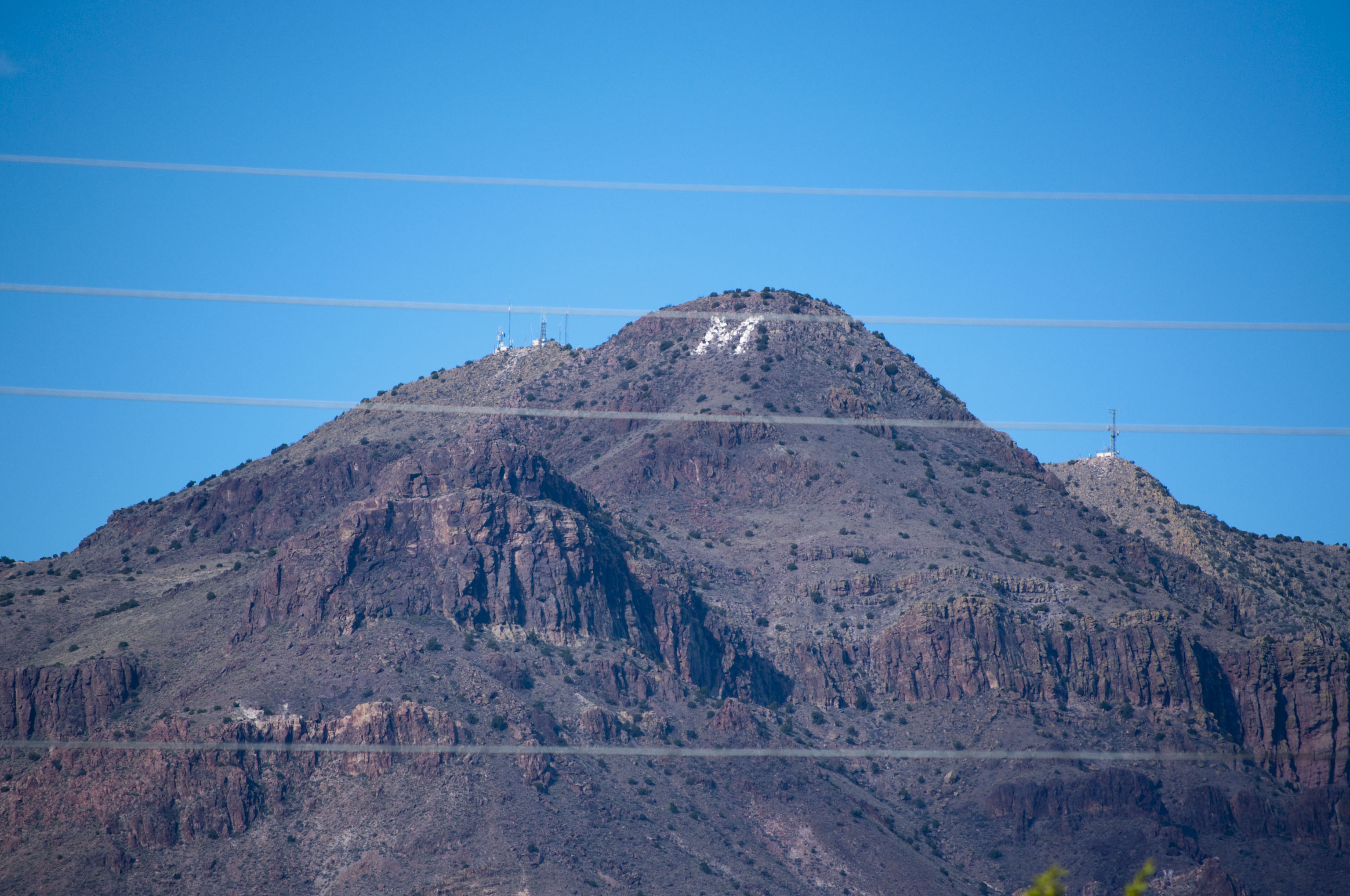
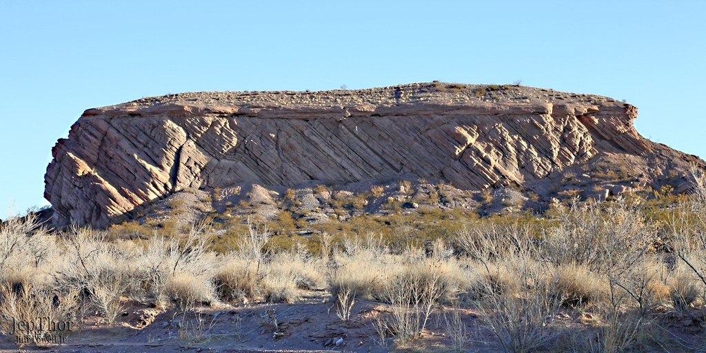
NMT Hill 02
Topographic Map of NM-, Polvadera, NM, USA
Find elevation by address:

Places near NM-, Polvadera, NM, USA:
Polvadera
NM-, Polvadera, NM, USA
Lemitar
101 Nw Frontage Rd
Macedonio Rd, San Acacia, NM, USA
San Acacia
Escondida
122 Mustang Dr
Socorro
Water Canyon Campground
North Baldy
Buck Peak
Timber Peak
903 Elm St
Magdalena
South Baldy
New Mexico 107
Italian Peak
12 Brahman Rd
Bosque Del Apache National Wildlife Refuge Visitor Center
Recent Searches:
- Elevation of Corso Fratelli Cairoli, 35, Macerata MC, Italy
- Elevation of Tallevast Rd, Sarasota, FL, USA
- Elevation of 4th St E, Sonoma, CA, USA
- Elevation of Black Hollow Rd, Pennsdale, PA, USA
- Elevation of Oakland Ave, Williamsport, PA, USA
- Elevation of Pedrógão Grande, Portugal
- Elevation of Klee Dr, Martinsburg, WV, USA
- Elevation of Via Roma, Pieranica CR, Italy
- Elevation of Tavkvetili Mountain, Georgia
- Elevation of Hartfords Bluff Cir, Mt Pleasant, SC, USA