Elevation of NM-, Caballo, NM, USA
Location: United States > New Mexico > Sierra County >
Longitude: -107.30793
Latitude: 32.9759716
Elevation: 1294m / 4245feet
Barometric Pressure: 87KPa
Elevation Map:
Satellite Map:
Related Photos:
Another bridge view
View from the bridge

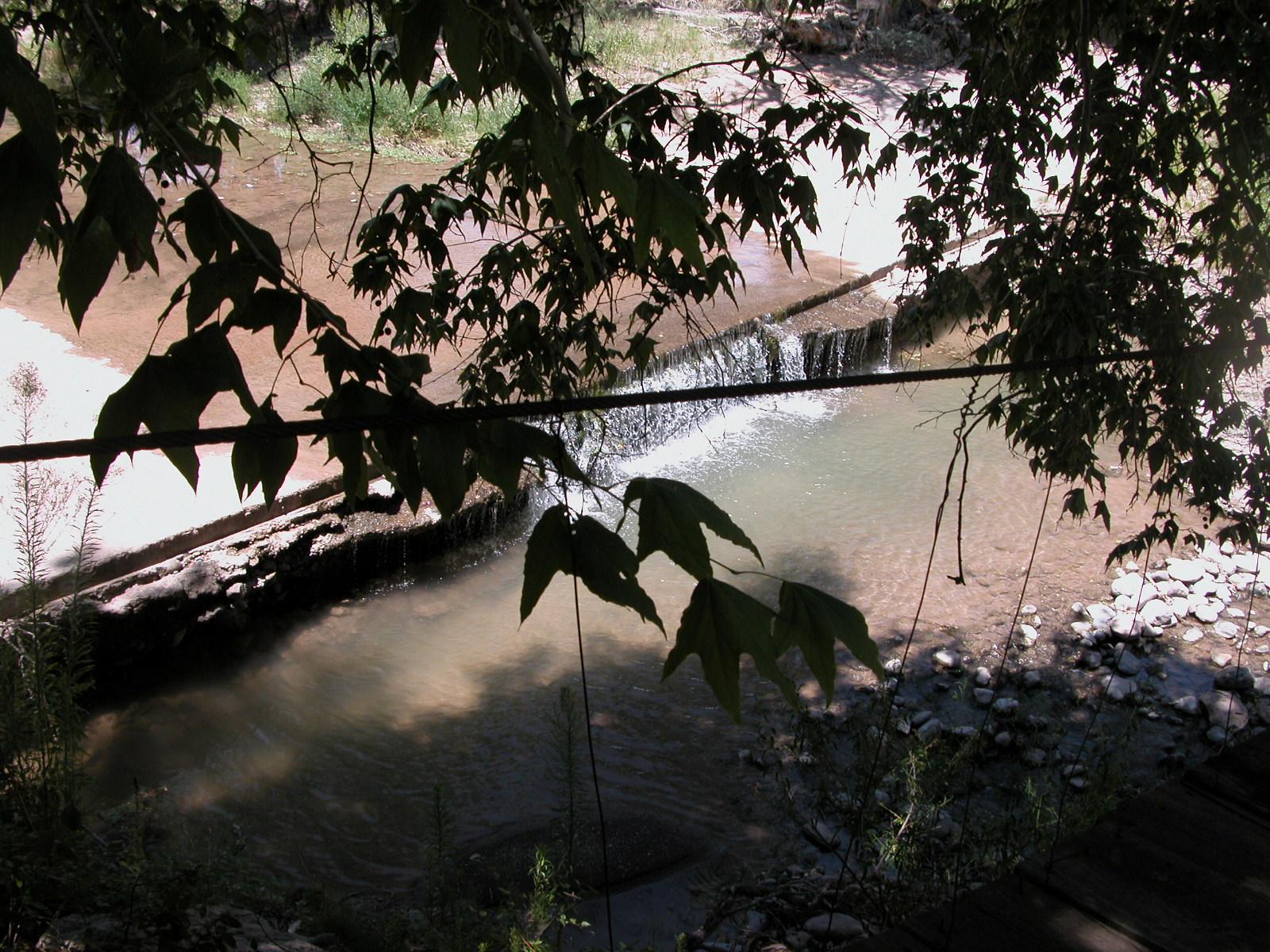
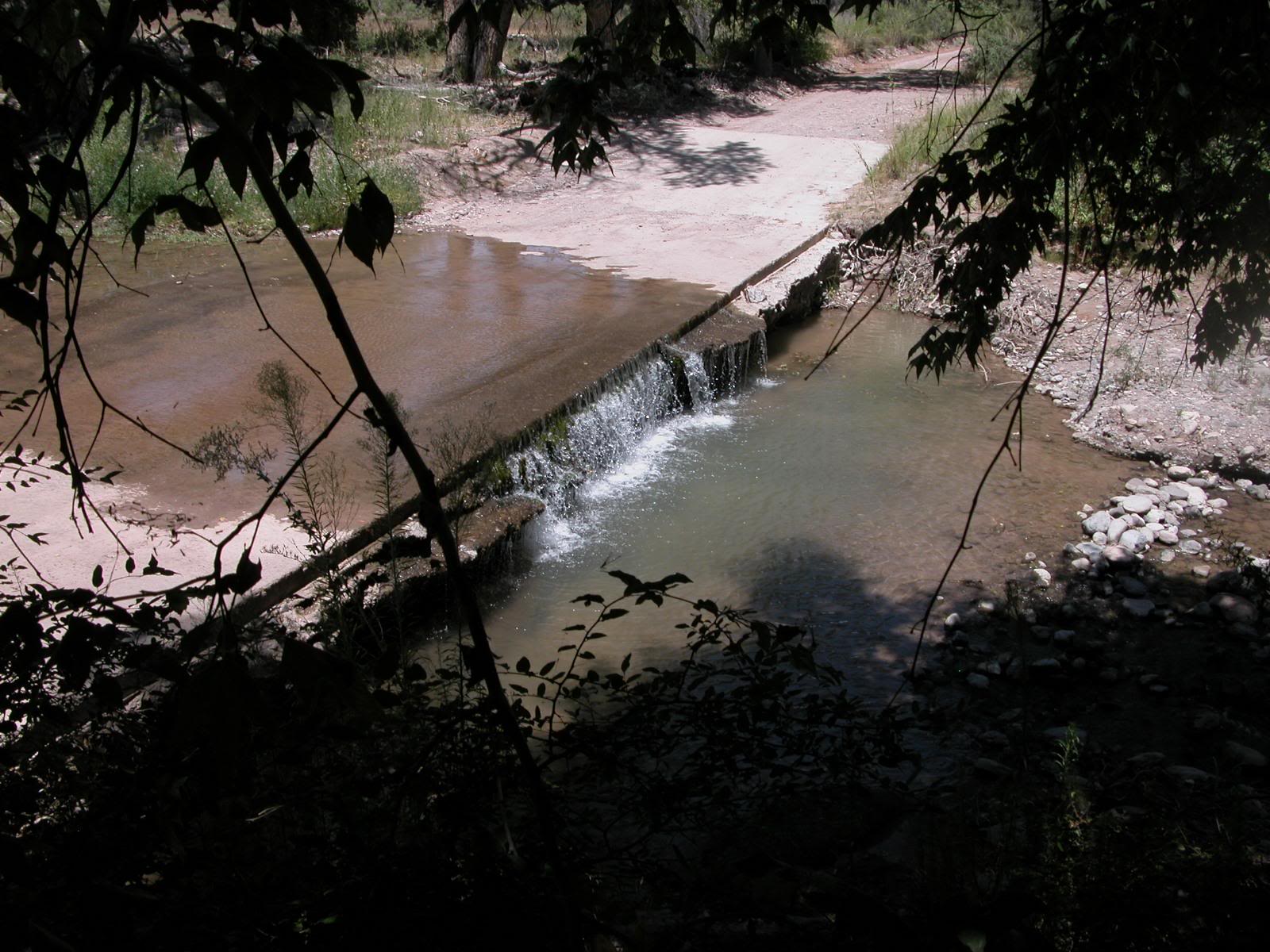
View of the ford from the bridge Usually there is about a 3-foot drop from the concrete ford to the pool below
Caballo State Park
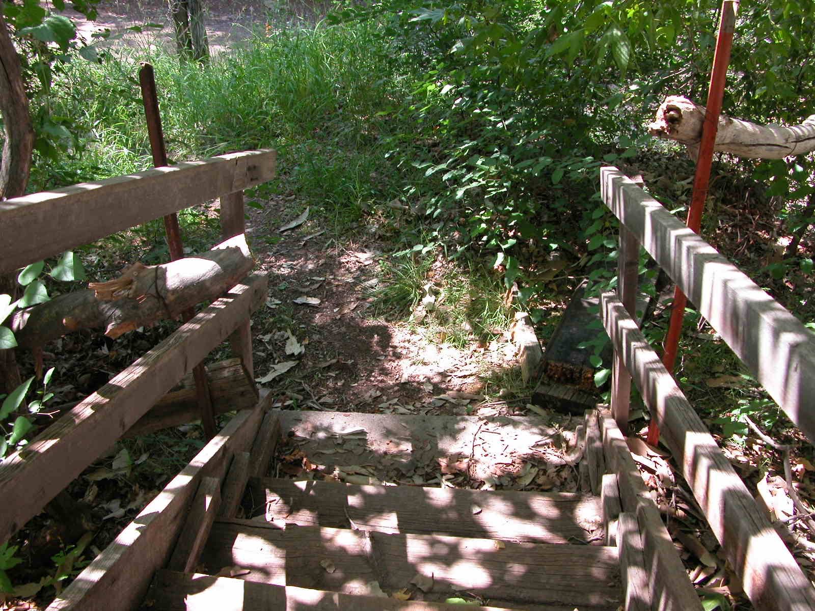
View of first-level stairs to the bridge
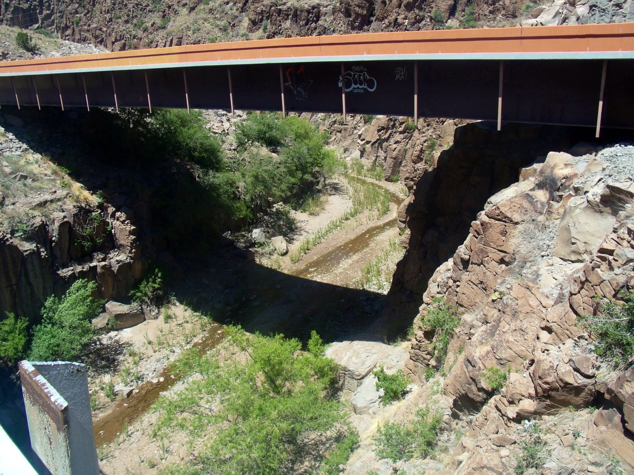
View of Percha Creek from the bridge.

Another downstream view
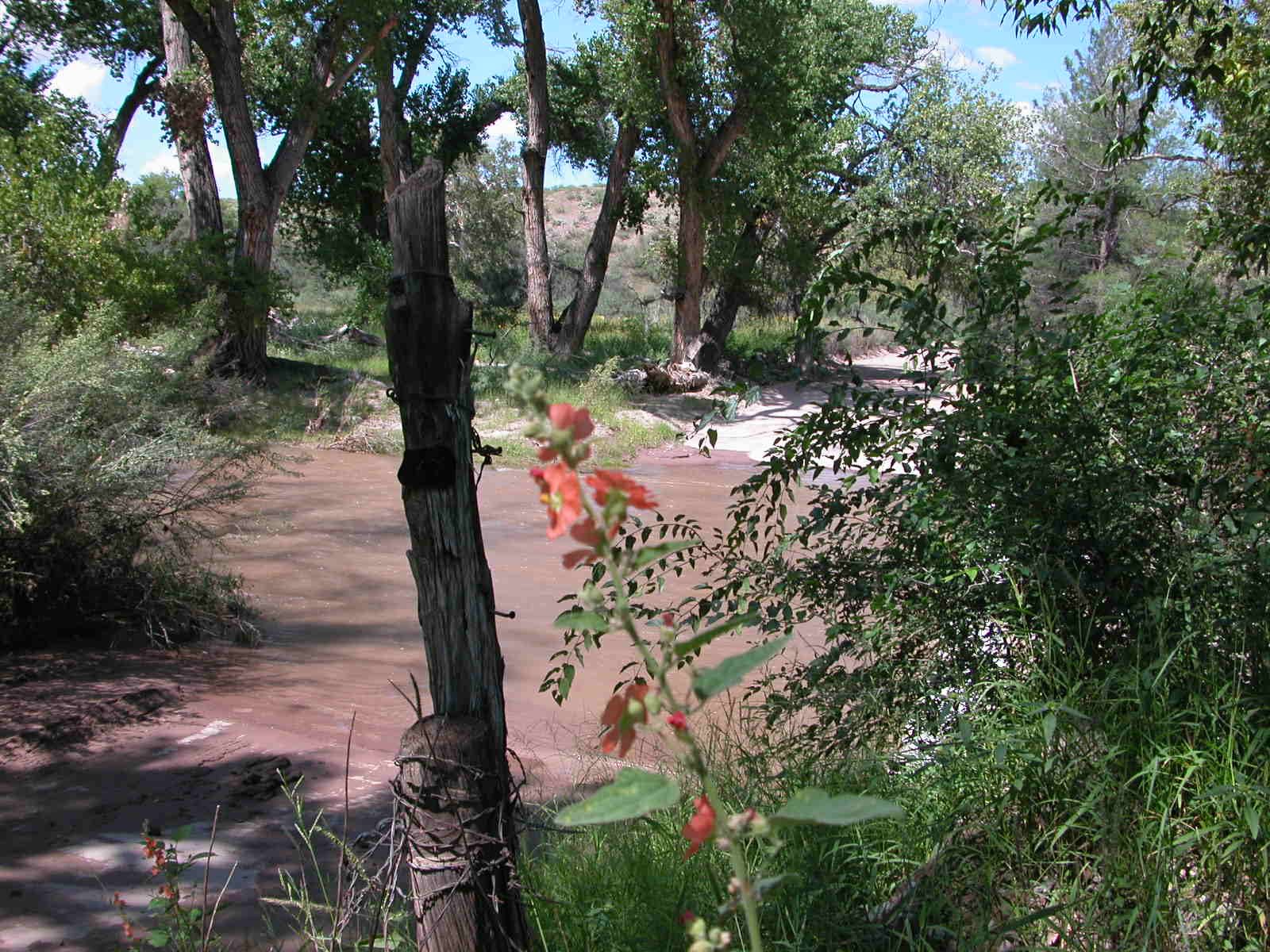
View of ford from the stairs. Coulter's globe mallow in foreground.

Animas Creek Ford falls
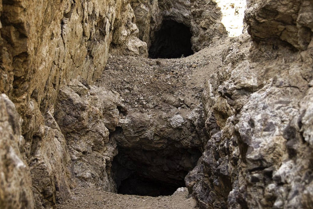
First set of mines
IMG_0515.jpg
IMG_0516.jpg
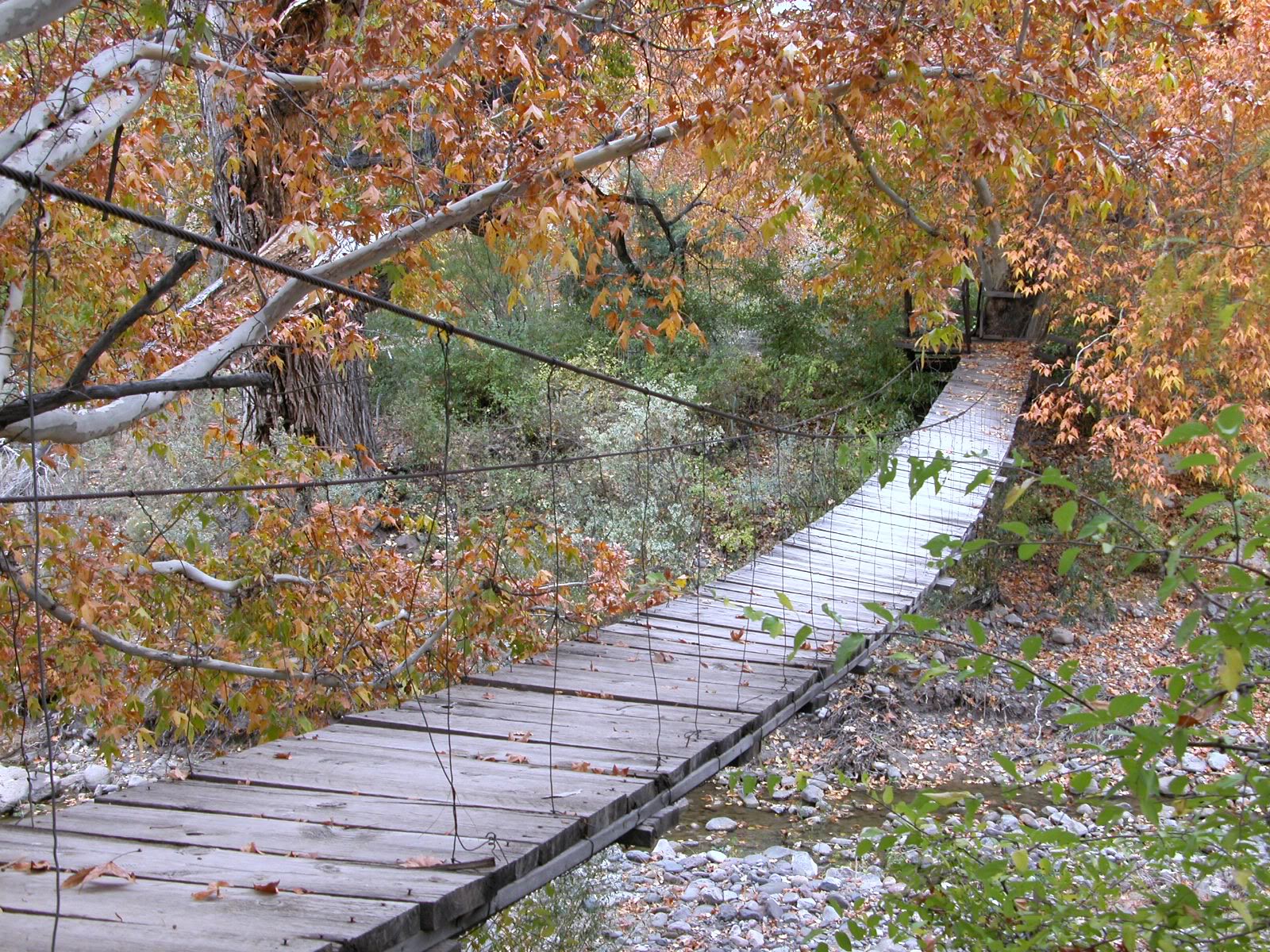
The old suspension bridge looks silver against the golden leaves.
IMG_0514.jpg
IMG_0513.jpg
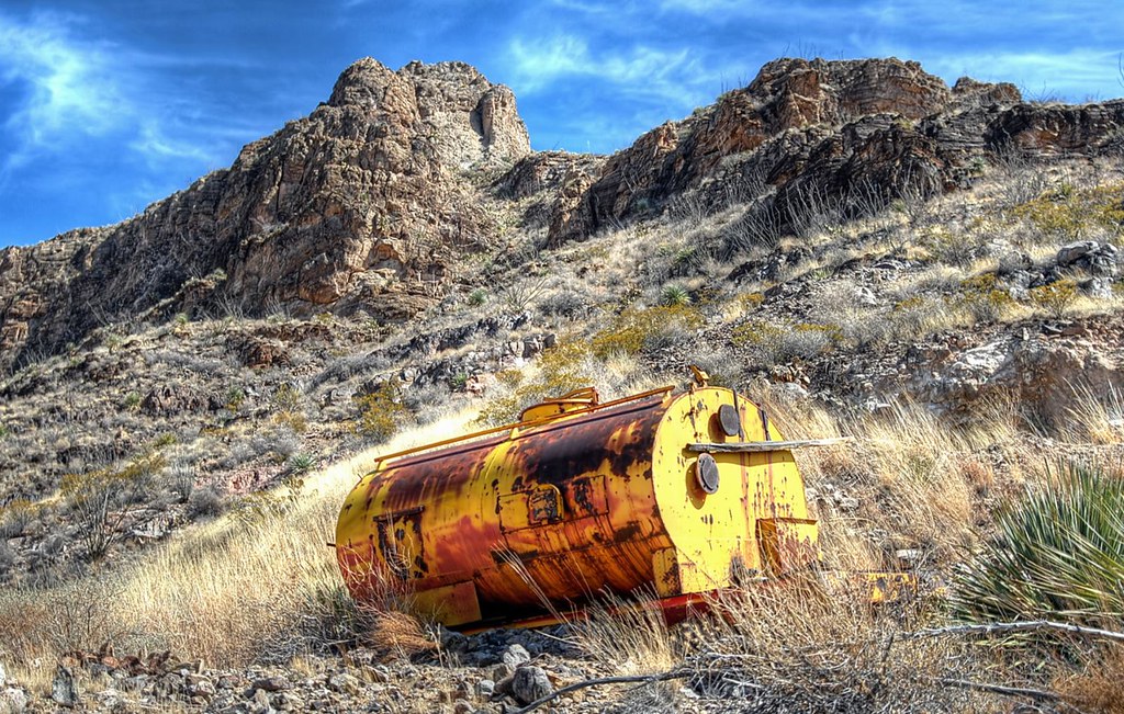
Water Tank
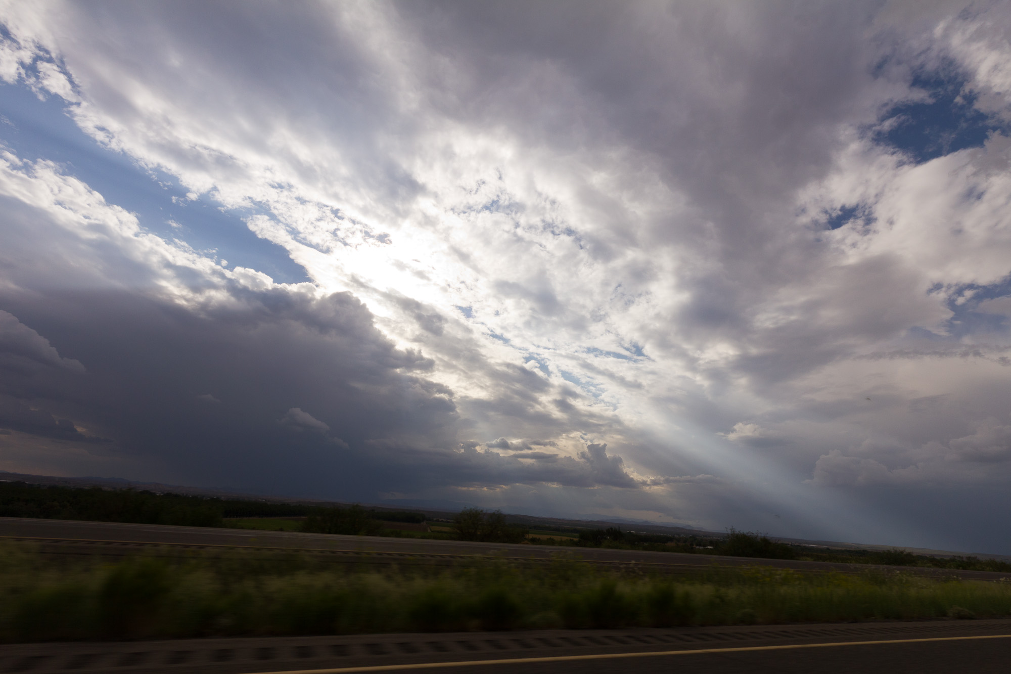
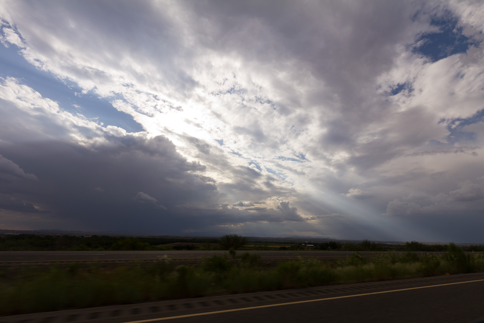
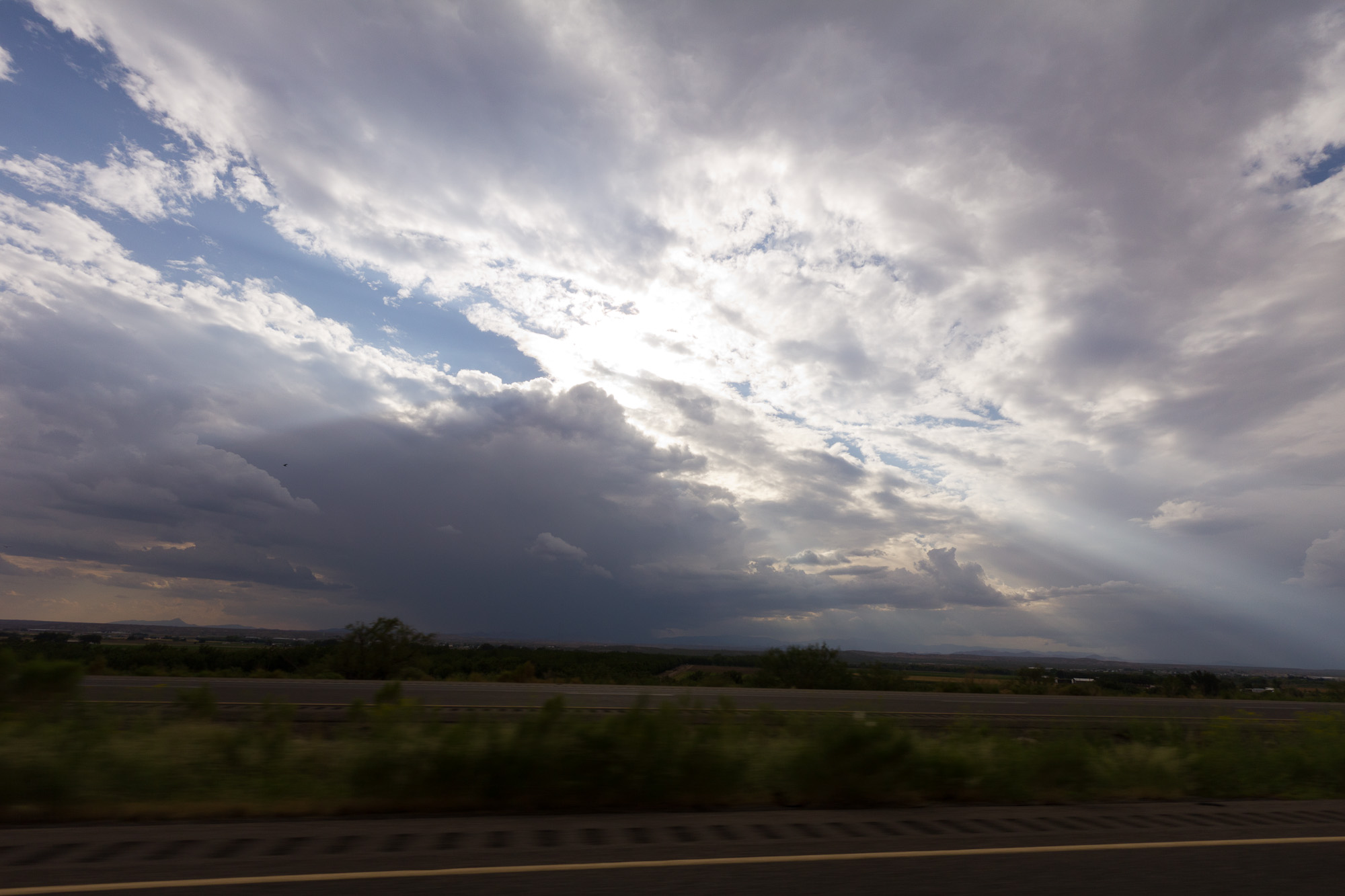
Going to Soccoro New Mexico
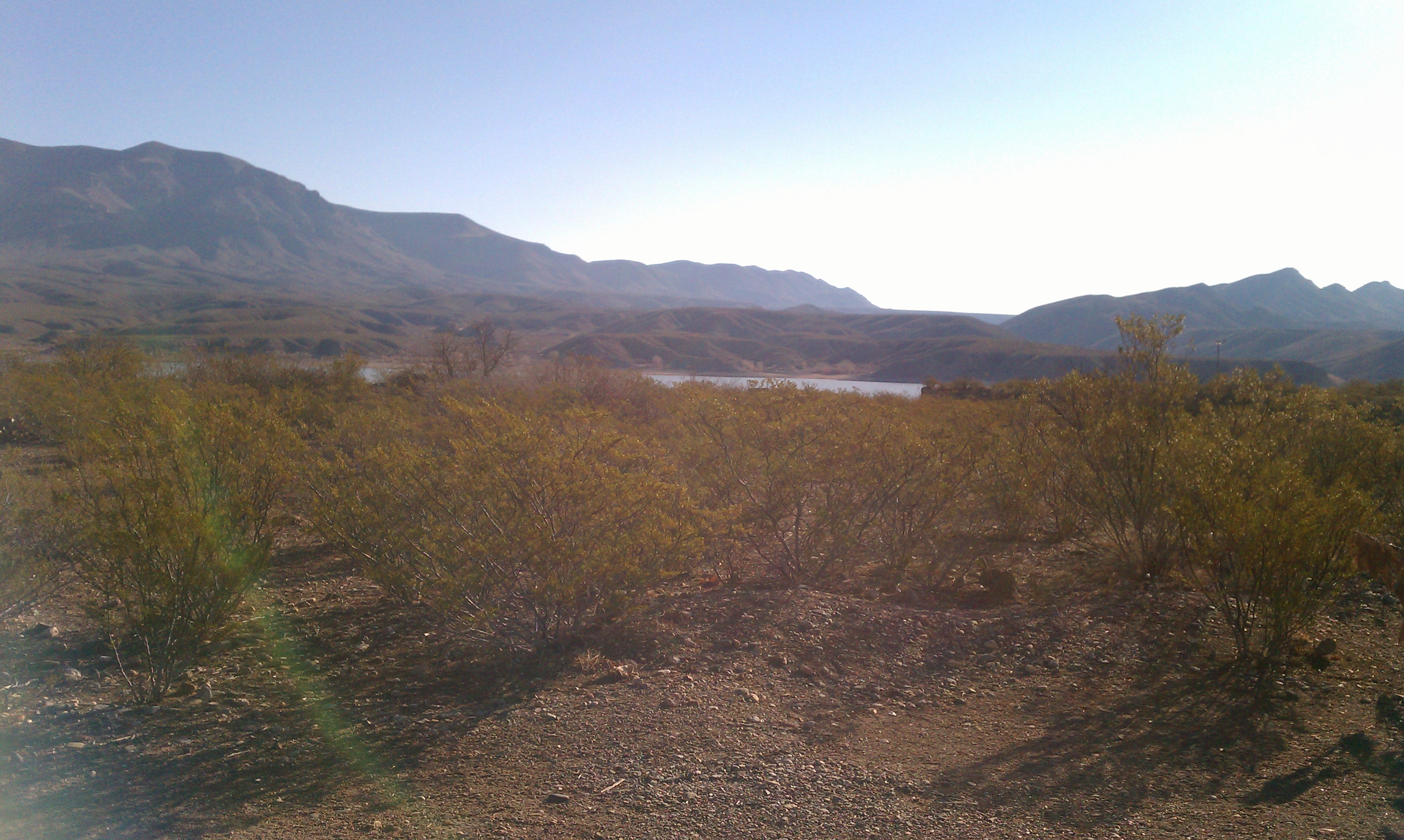
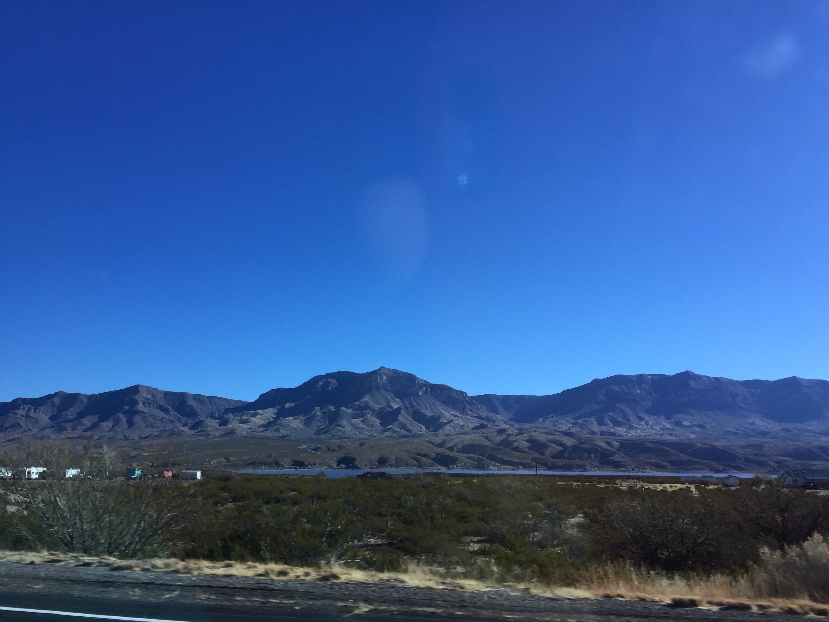
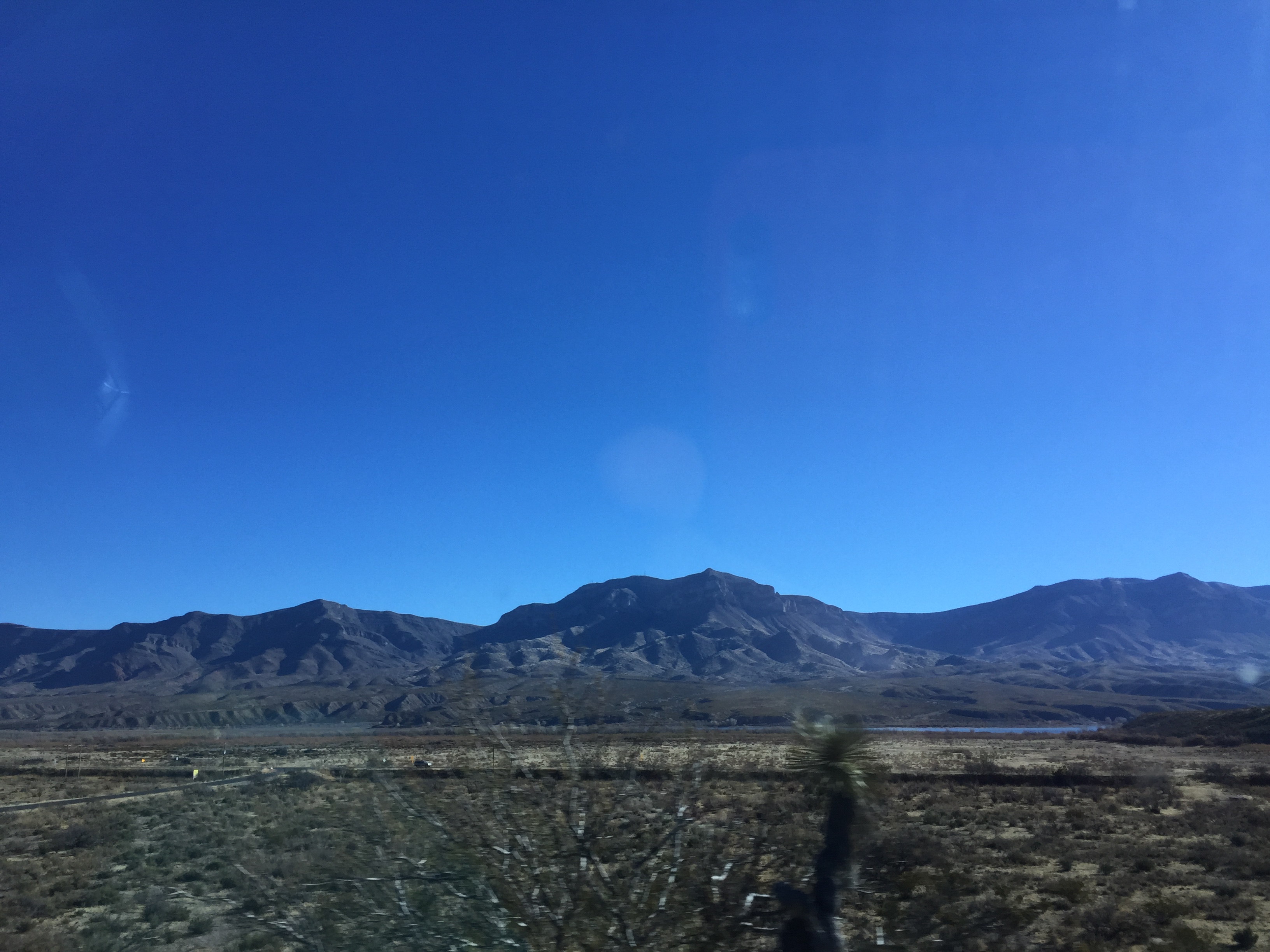
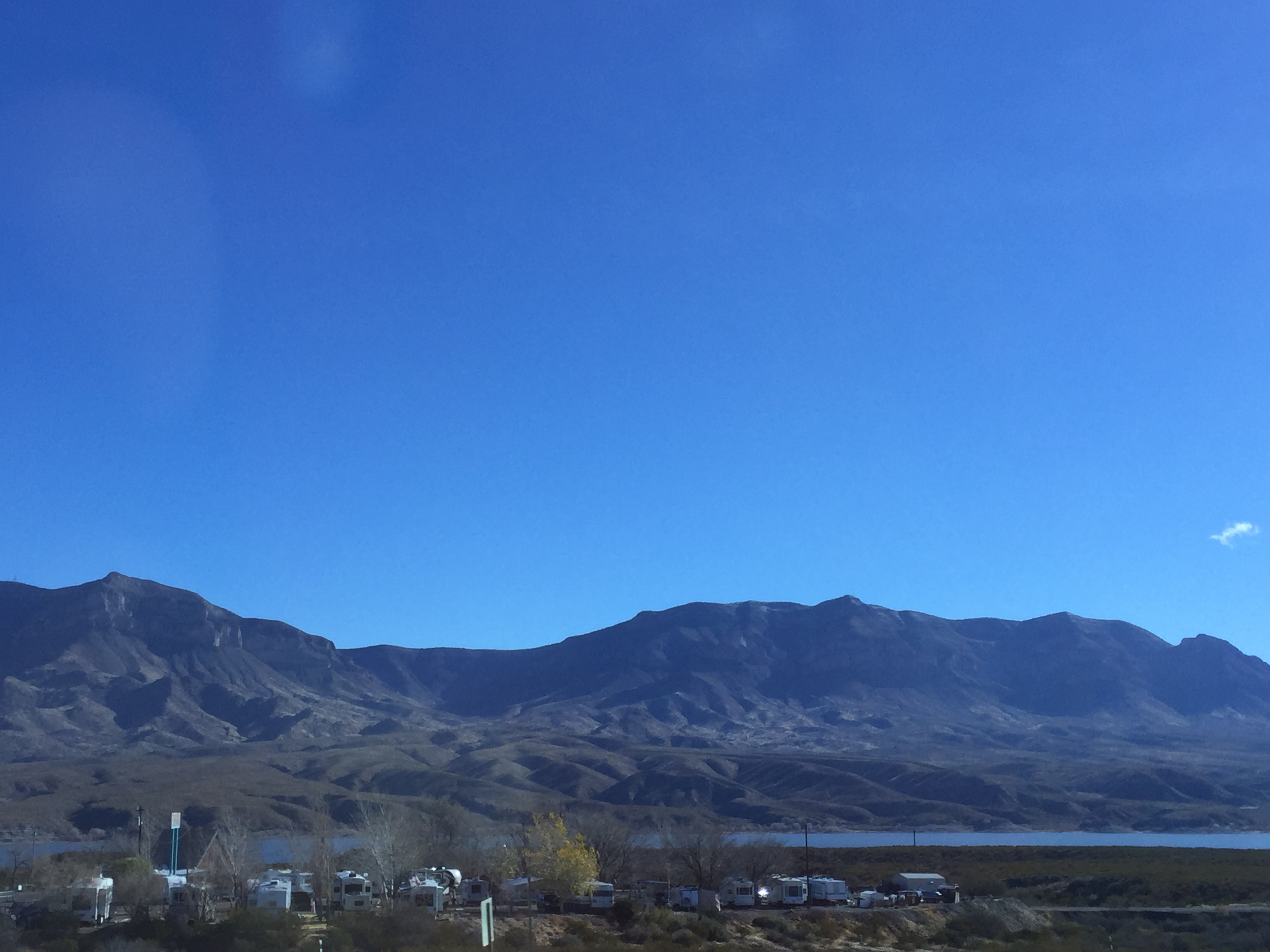
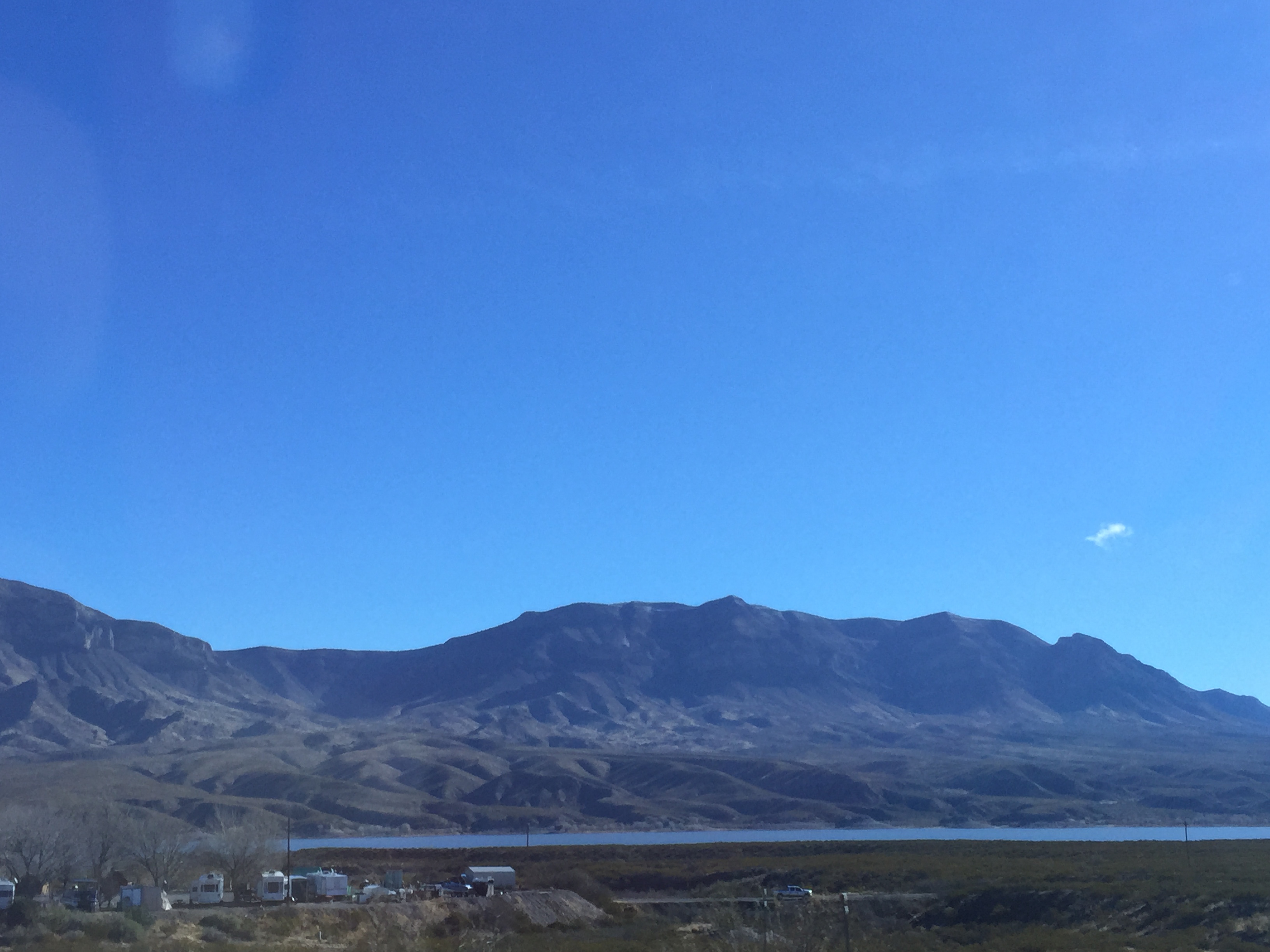
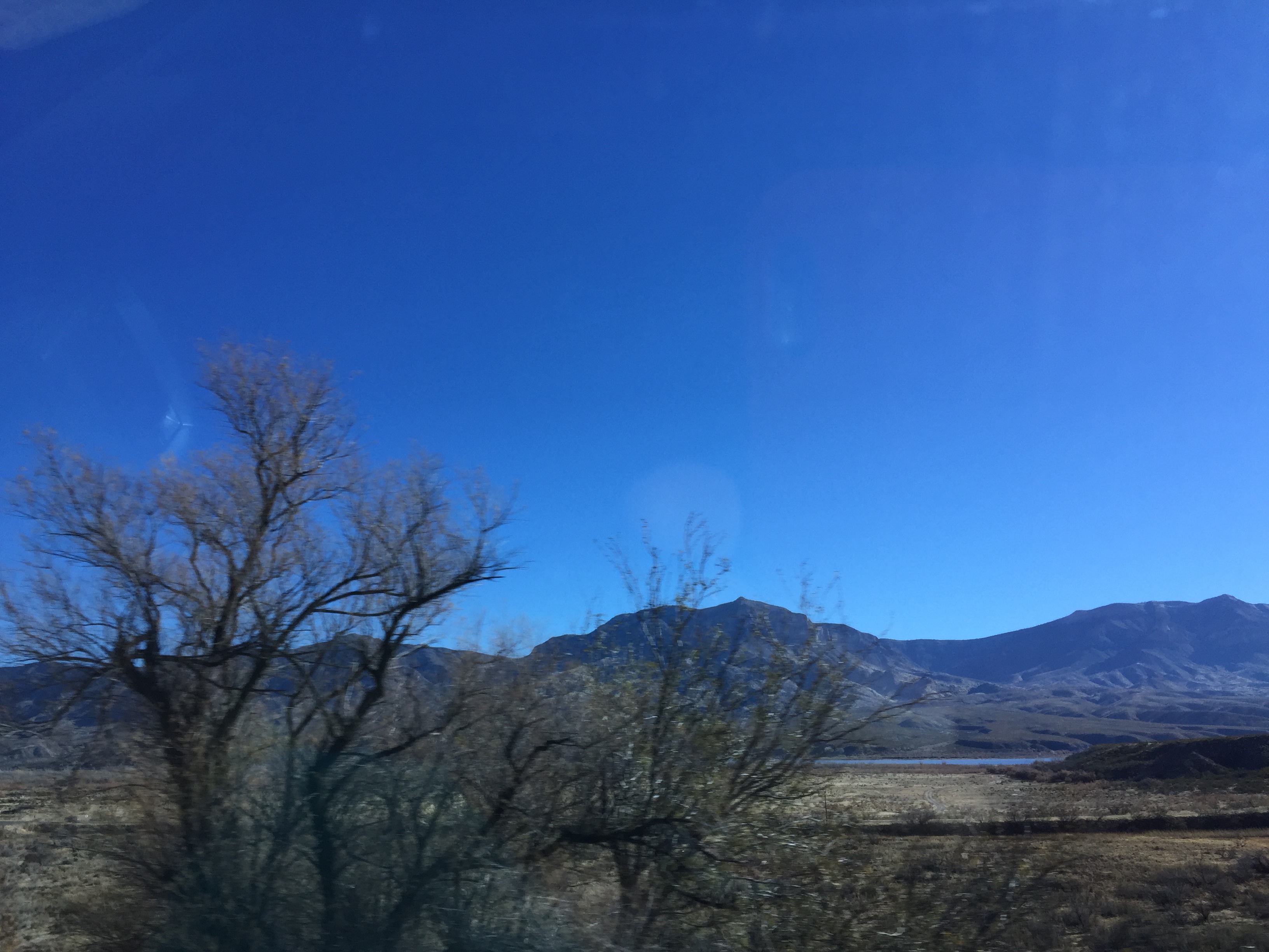
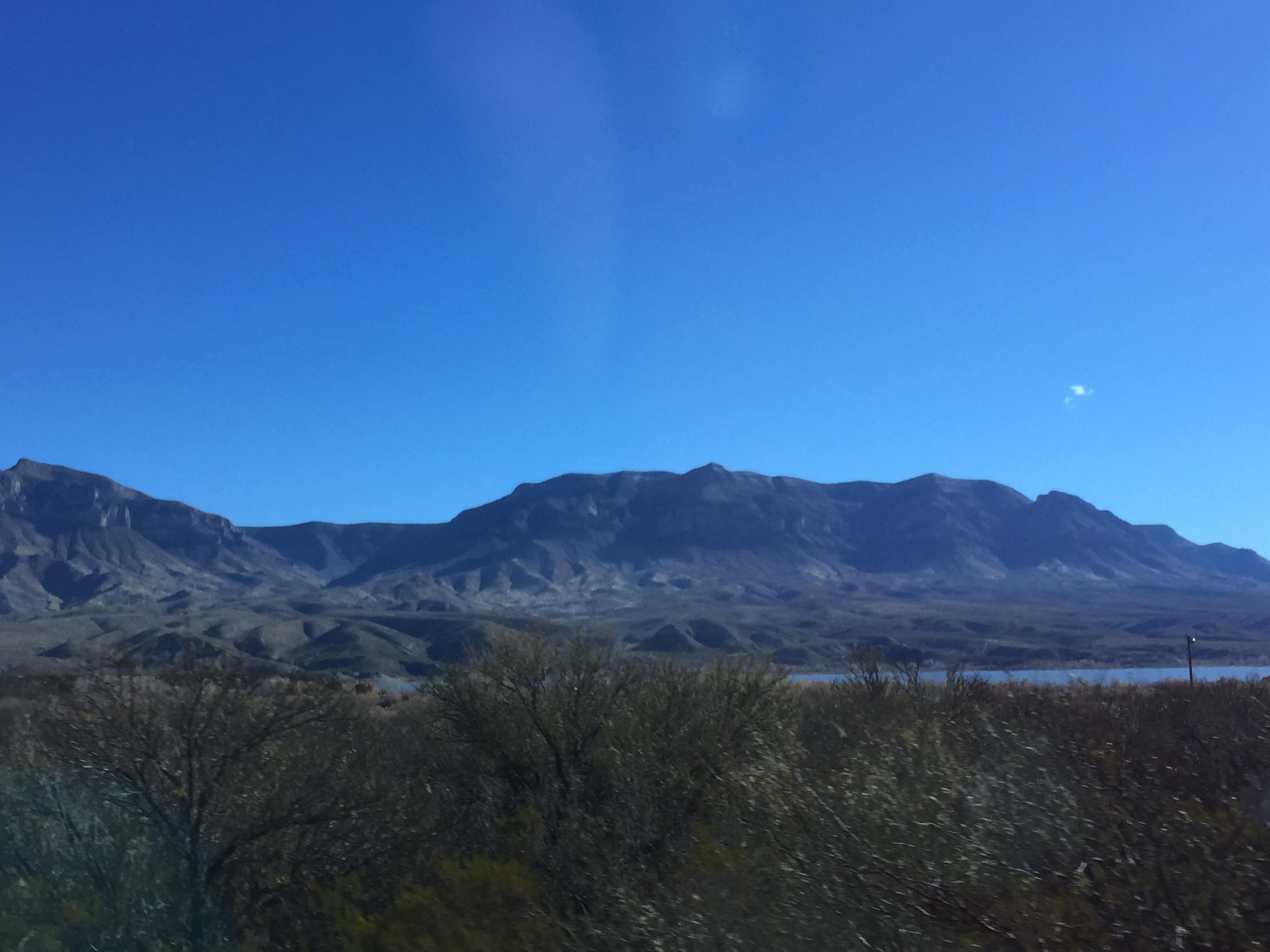
The Caballo Mountains (Horse in Spanish)
Going to Soccoro New Mexico
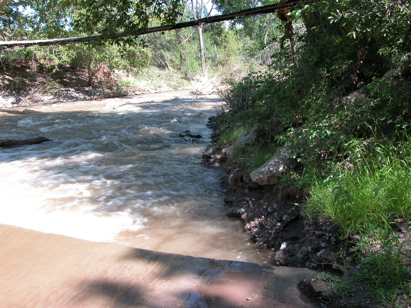
Looking downstream from the ford
Going to Soccoro New Mexico
Going to Soccoro New Mexico
Going to Soccoro New Mexico
Going to Soccoro New Mexico

Winter at Animas Creek 7
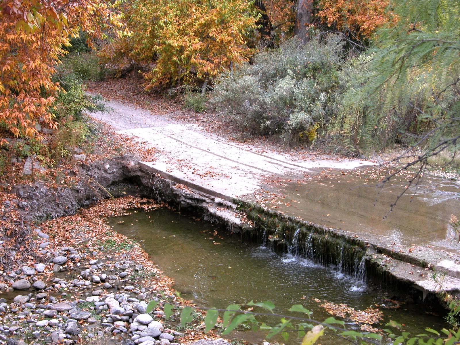
Splash line of the ford

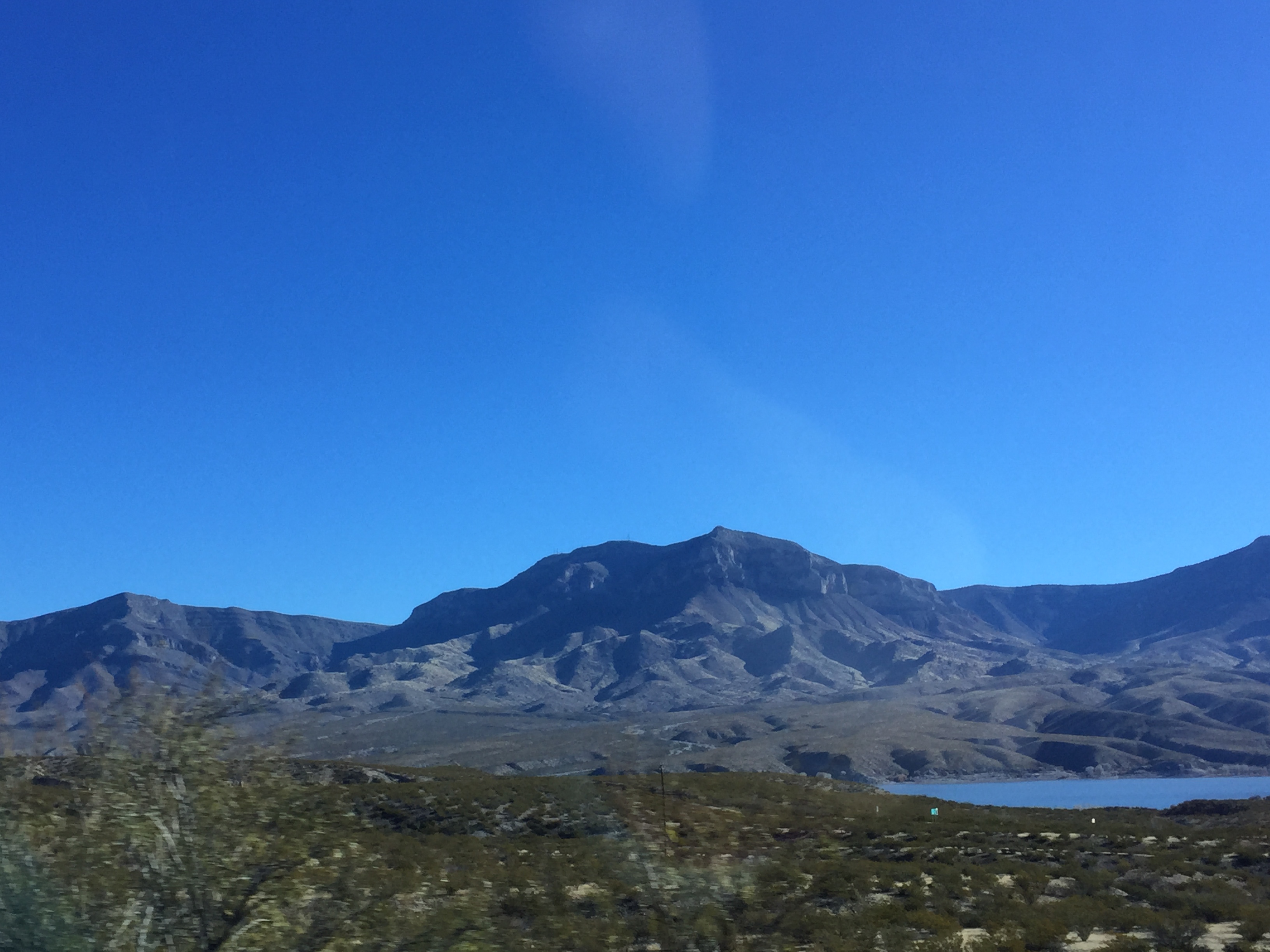
Caballo Mountains
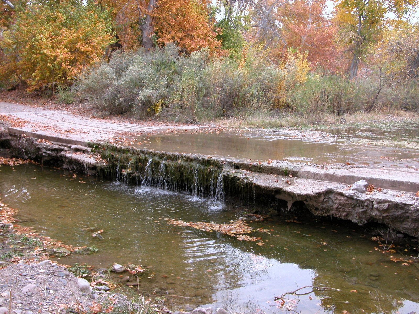
Another shot of the fall line
Going to Soccoro New Mexico
Topographic Map of NM-, Caballo, NM, USA
Find elevation by address:

Places near NM-, Caballo, NM, USA:
Caballo
Caballo Lake State Park
Arrey
Williamsburg
996 S Broadway St
709 Wyona St
Truth Or Consequences
310 W Third Ave
Kopra Street
819 N Magnolia St
1501 Coleman St
NM-, Garfield, NM, USA
30 NM-, Truth or Consequences, NM, USA
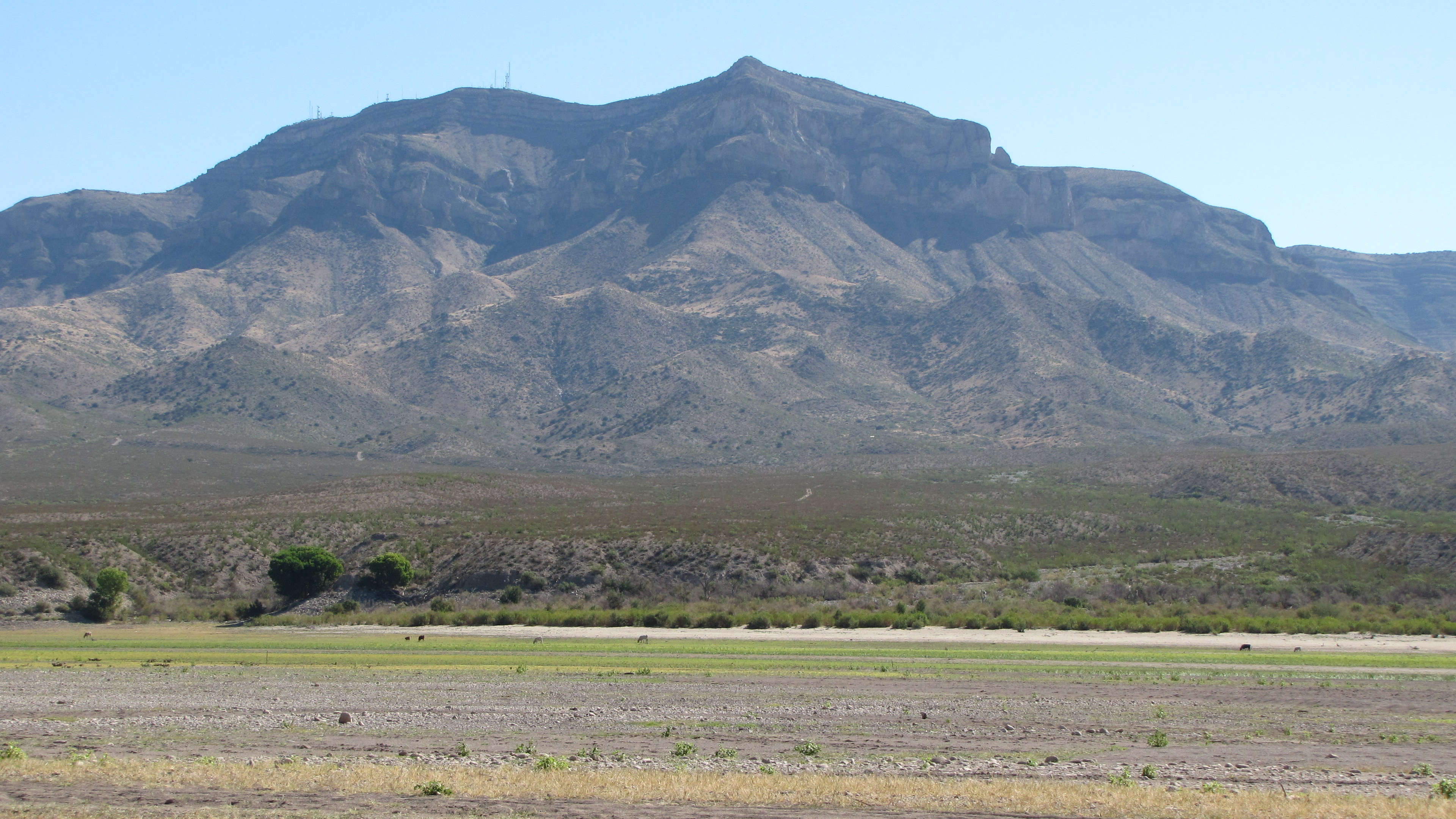
Animas Peak
Elephant Butte
New Mexico 195
Empire Peak
Catfish Rd, Elephant Butte, NM, USA
45 Willow Springs Rd
Salado Mountains Hp
Recent Searches:
- Elevation of Leguwa, Nepal
- Elevation of County Rd, Enterprise, AL, USA
- Elevation of Kolchuginsky District, Vladimir Oblast, Russia
- Elevation of Shustino, Vladimir Oblast, Russia
- Elevation of Lampiasi St, Sarasota, FL, USA
- Elevation of Elwyn Dr, Roanoke Rapids, NC, USA
- Elevation of Congressional Dr, Stevensville, MD, USA
- Elevation of Bellview Rd, McLean, VA, USA
- Elevation of Stage Island Rd, Chatham, MA, USA
- Elevation of Shibuya Scramble Crossing, 21 Udagawacho, Shibuya City, Tokyo -, Japan