Elevation of Animas Peak, New Mexico, USA
Location: United States > New Mexico > Hillsboro >
Longitude: -107.52197
Latitude: 32.9736837
Elevation: 1796m / 5892feet
Barometric Pressure: 82KPa
Elevation Map:
Satellite Map:
Related Photos:
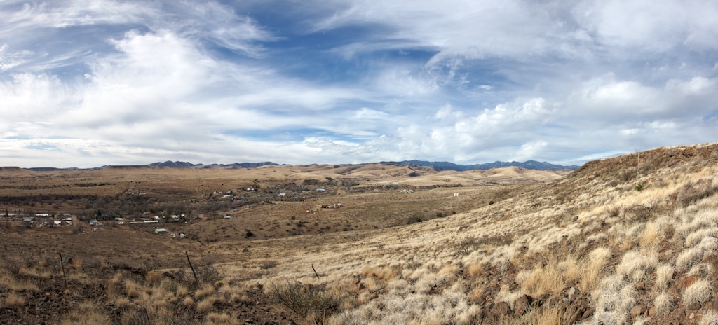
Hillsboro, NM
Topographic Map of Animas Peak, New Mexico, USA
Find elevation by address:

Places near Animas Peak, New Mexico, USA:
Empire Peak
Hillsboro
Salado Mountains Hp
Mcclede Mountain
Sibley Mountain North
Milkhouse Mesa
Sibley Mountain South
Panther Peak
Kelly Peak
Kingston
Apache Peak
NM-, Caballo, NM, USA
Caballo
Berrenda Mountain North
New Mexico 152
Berrenda Mountain South
Caballo Lake State Park
Arrey
Granite Peak
Flagpole Mountain
Recent Searches:
- Elevation of Corso Fratelli Cairoli, 35, Macerata MC, Italy
- Elevation of Tallevast Rd, Sarasota, FL, USA
- Elevation of 4th St E, Sonoma, CA, USA
- Elevation of Black Hollow Rd, Pennsdale, PA, USA
- Elevation of Oakland Ave, Williamsport, PA, USA
- Elevation of Pedrógão Grande, Portugal
- Elevation of Klee Dr, Martinsburg, WV, USA
- Elevation of Via Roma, Pieranica CR, Italy
- Elevation of Tavkvetili Mountain, Georgia
- Elevation of Hartfords Bluff Cir, Mt Pleasant, SC, USA