Elevation of New Road, New Rd, Ilminster TA19, UK

Location: United Kingdom > England > Somerset >

Longitude: -2.915769

Latitude: 50.9293438

Elevation: 65m / 213feet

Barometric Pressure: 101KPa

Elevation Map:

elevation map of New Road, New Rd, Ilminster TA19, UK

Satellite Map:

Satellite map of New Road, New Rd, Ilminster TA19, UK

Related Photos:

sunset sky blackandwhite bw black tree monochrome dark grey blackwhite moody south hill somerset swing impressionistic winter white canon thought sitting view think relaxing thoughtful thinking lonely swinging reminiscence lonelytree reminisce vantagepoint england cloud clouds evening efs1855mm calm quite englishcountryside eveninglight burrowhill canon750d canoneos750d dusk
End of the day in black and white
burrowhill tree swing view landscape monochrome blackandwhite blackwhite bw grey black white somerset south sitting sky sit composition nature england light life thinking think thought thoughtful relaxing reflection reflections relax reminiscence reminisce photography photograph peaceful perspective bright englishcountryside space time hill canon canoneos750d canon750d winter bare bleak atmosphere atmospheric wood southwest dream dreamlike dreamy
Time, Space and Place
blackandwhite blackwhite bw black white monochrome moody mood minimal tree lonelytree sky south somerset swing swinging bare canon canoneos750d canon750d calm countryside efs1855mm england englishcountryside hill burrowhill southwest relaxing relax sitting thinking think thought thoughtful moment view vantagepoint nature reminiscence explore
A Moment Frozen in Time - Swing on top of the Hill - 'Explored'
Cryptocephalus aureolus
forde abbey cistercian monastery building architecture battlement tower listed touristattraction garden lawn bush tree shrub outdoor chard dorset
Forde Abbey from the Winter Garden
tranquility peace trees tree spring uk somerset iphone landscape
Spring View.
mantacutehouse
Pudding House
selfportrait me outside roundabout explore 365 365days 365explored smileybutfeelinglikedeath
Day 214 of 365
blackwhite cockpithill roadsign sign broadwindsor birdsmoor road countryside dorset summer landscape
Cockpit Hill from Pilsdon
westdorsetdistrict england unitedkingdom gb anthonywhitesphotography hills light green mist andulating ilce7rm2
Dorset Haze
2017project52 week37 centred selfportrait cotlake hill stile taunton view fence silhouette trees tree barbed wire clouds storm sky blue fields
Weather Watching
orange macro slimemould decipiens myxomycete trichia
Trichia decipiens
misty morning perrotthill geotagged geolon2758268 geolat50883829
Misty Morning #2
neilmoralee tauntonsomersetneilmoralee begging beggar young boy victim criminal street dark black white bw bandw blackandwhite mono monochrome candid olympus omd em5 hip low point view hat cols child man neil moralee taunton somerset hungry alone homeless sitting people poor poverty
How Old Are You ?
clouds frost pilsdon dorset dawn landscape patchwork fields countryside view mist misty morning
0I5A2757-2
sky panorama moon clouds landscape sunsets somerset somersetlevels
Somerset Sunset
uploaded:by=flickrmobile flickriosapp:filter=nofilter
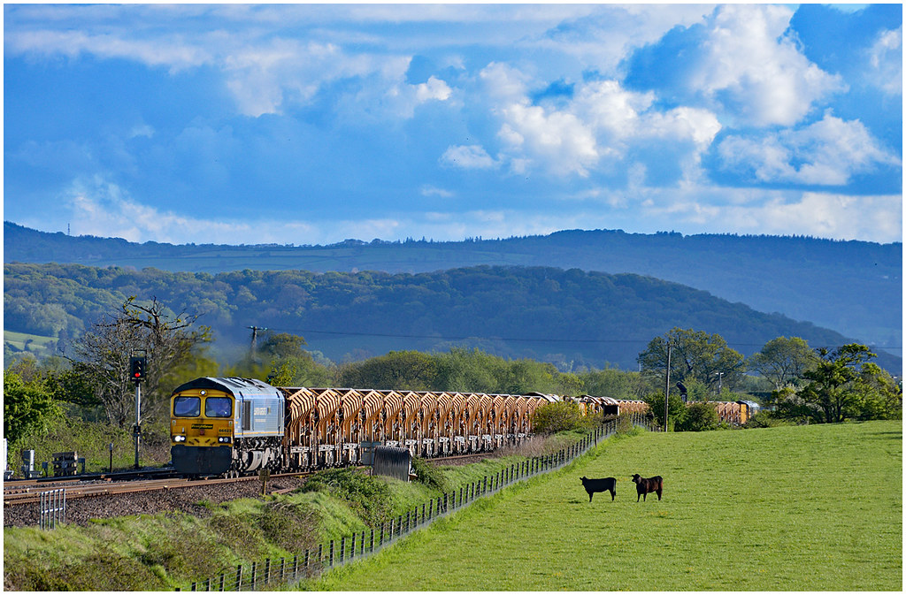
A Multitude of Vehicles
drone djispark somerset landscapes blackdownhills droneview
Aerial view, Ilminster looking towards the Blackdown Hills, Somerset.
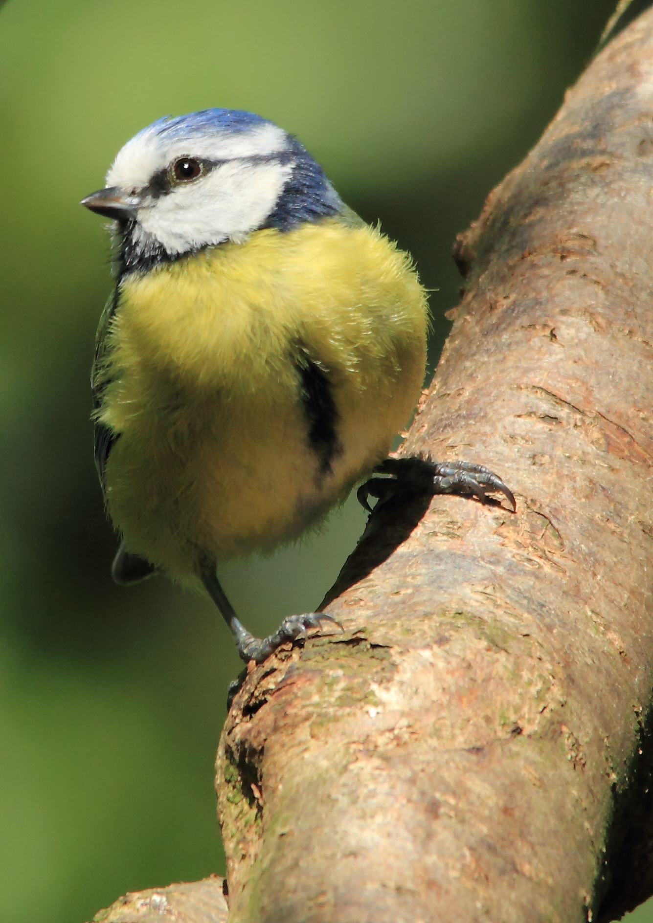
Blue Tit
neilmoralee neilmoraleenikond7200rain wonam candid old mature street lpov low view taunton somerset shopping hat scarf age cold sepia bw black white mono monochrome face portrait alzheimers arthritis cataract osterporosis hypertension walking lonely neil moralee nikon d7200
Age is no barrier
blue summer portrait house building green home stone facade gold nt somerset symmetry national trust symmetrical mansion elizabethan elevation manor flemish renaissance jacobean montacute hamstone
Blue, green, gold
66623 66616 6y43 cogloadjunction tauntonfairwater pewsey hobc blackdownhills
Two big beasts under the Blackdown hills
forde abbey countryhouse mansion building listed garden lake canal landscape ancient historic cictercian dorset panorama photomerge reflection
Forde Abbey
fordeabbey abbey cistercian ancient architecture building garden herbaceous border canal water reflection tree landscape listed dorset england english photomerge panorama
Forde Abbey and Gardens
montacute house mansion nationaltrust building architecture listed gradei country estate grass tree wall landscape somerset
Montacute House, Somerset
3112031217 cogloadjunction durston somerset taunton railways ukrailways somersetrailways ukfreighttrains
31120+31217 at Durston. 26/07/1988.
england landscape montacute nationaltrust somerset summer historical statelyhome
Montacute House
tree field path wheat ilminsteranddillington
Golden wheat
Forde Abby.
PB290521-1
allermoor sowyriver somerset levelsandmoors slm landscape river channel water reflection cloud morning
Sowy River reflections
england somerset hamhill wood forest tree root green winter
Ham Hill Woods
building wooden dillingtonwoods
Deep in the wood.
architecture em5mkii flowers gate historichouse landscape mft microfourthirds montacute nationaltrust omd olympus park somerset view england unitedkingdom
Montacute House-F7110268
montacute house estate park field building architecture mansion tree wall sky landscape somerset grass
Montacute House estate
P1020762-1
somerset saltmoor lyngdrove sunrise morning field ditch rhyne sun sunshine countryside outside outdoor nature scene scenic
Salt Moor sunrise
2016-12-24_07-55-50
barrow branch branches landscape silhouette sky sun trunk wood woods somerset flare lensflare hilltop burrow
An obliging tree