Elevation of New Garden, VA, USA
Location: United States > Virginia > Russell County >
Longitude: -81.975299
Latitude: 37.0471218
Elevation: 713m / 2339feet
Barometric Pressure: 93KPa
Elevation Map:
Satellite Map:
Related Photos:

John Burk 2

Pinnacle Nature Preserve - Trail sign - Copper Ridge
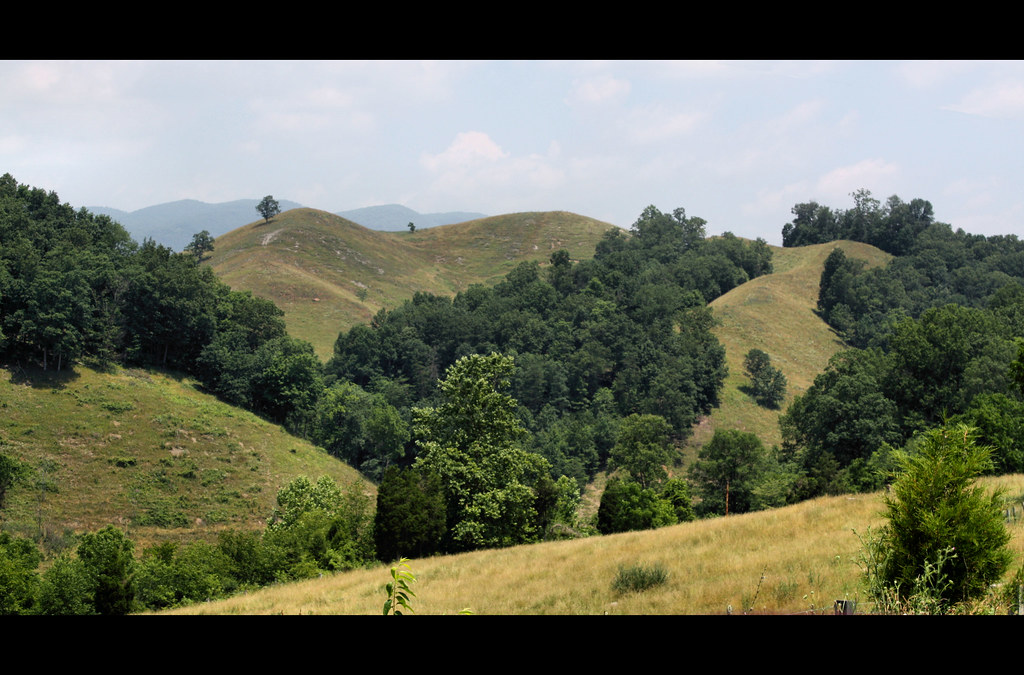
: : My Virginia : : Windy Hill
Virginia Creeper, VA
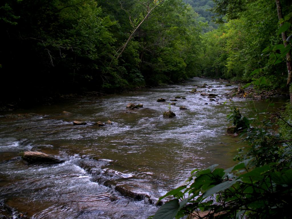
Big Cedar Creek, Pinnacle Natural Area Preserve, Virginia
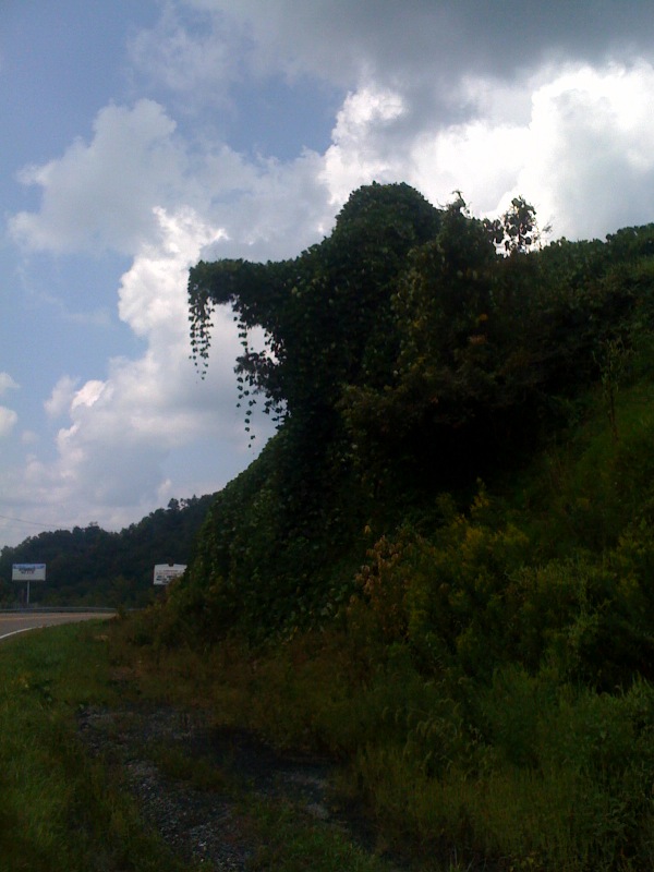
Elephant ivy

Pinnacle Natural Preserve

Bridge 302-01
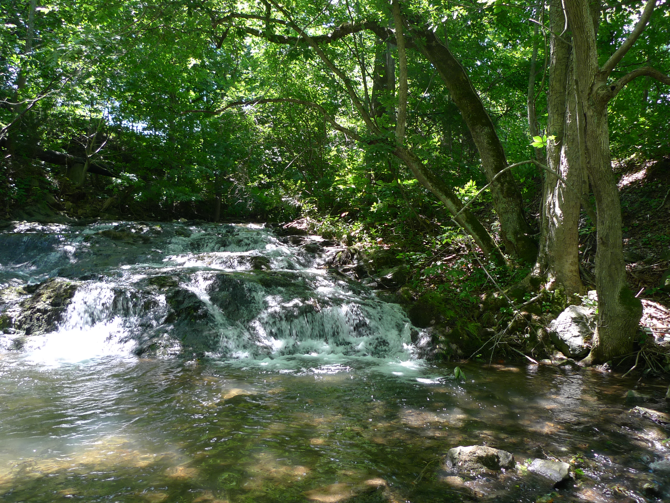
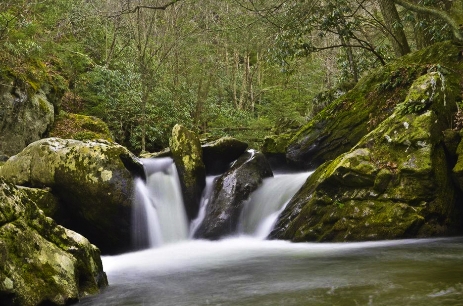
Little Cedar Creek Falls
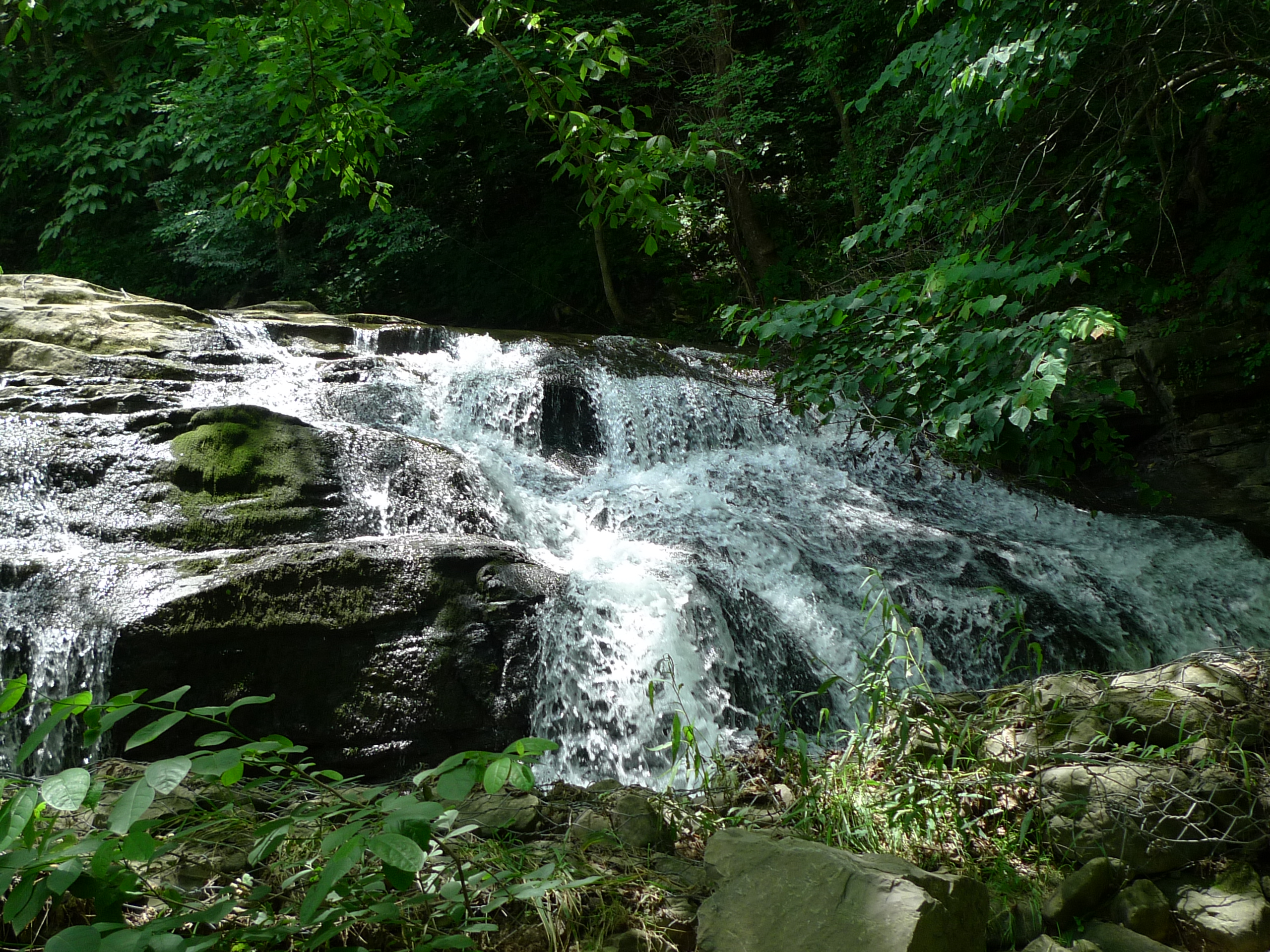
Big Falls on Big Cedar
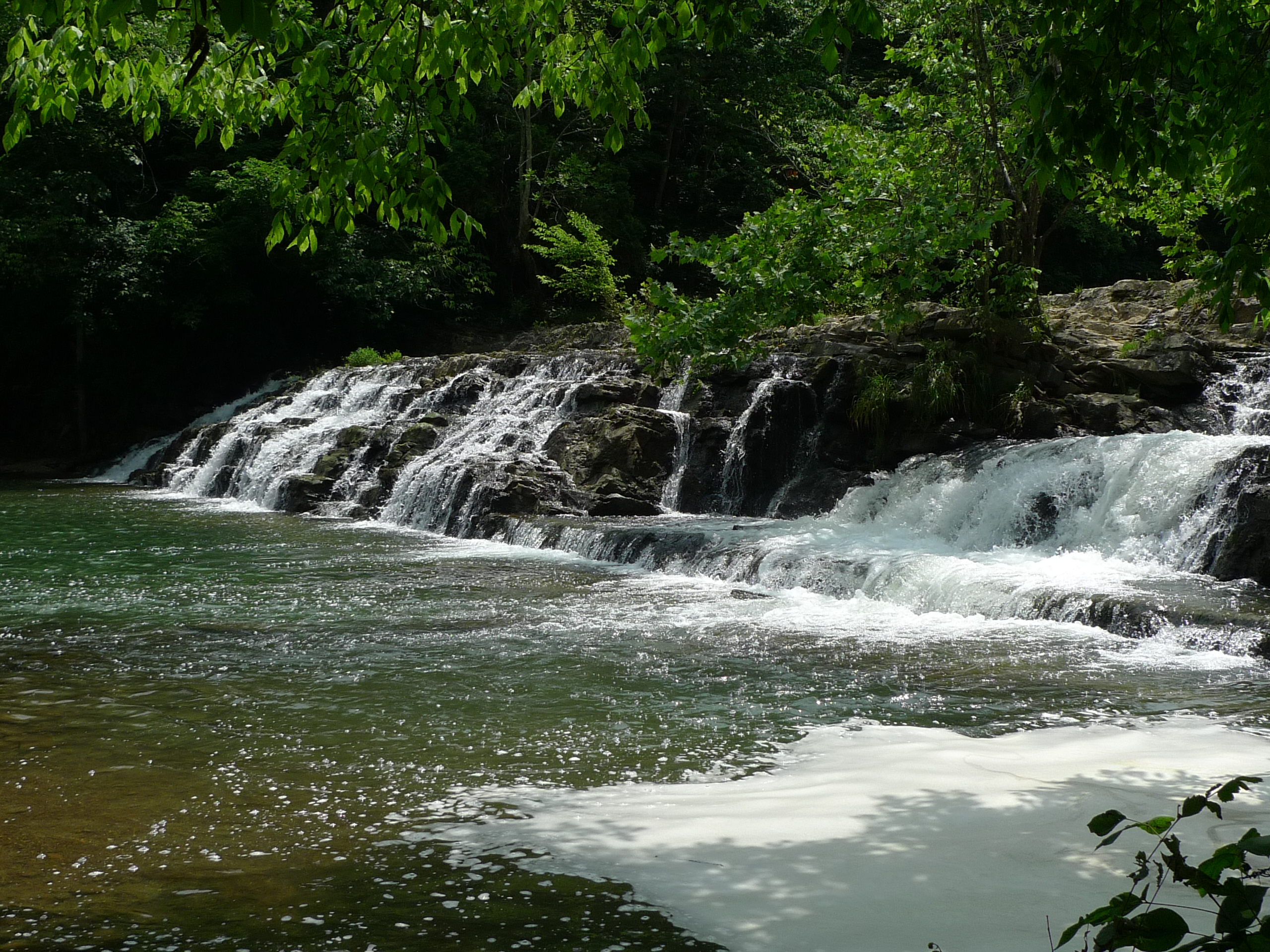
Big Falls on Big Cedar
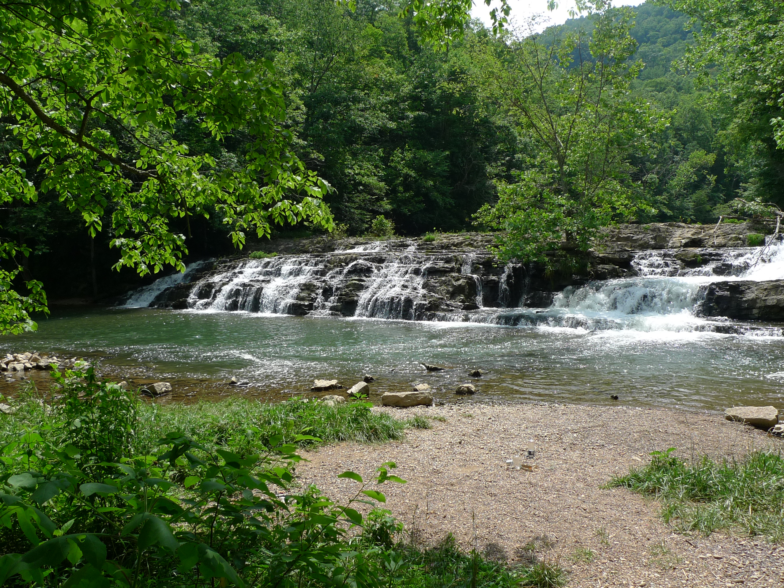
Big Falls on Big Cedar
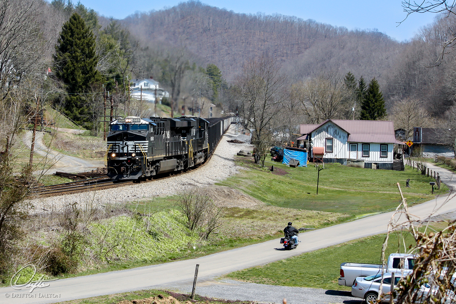
Country Transportation
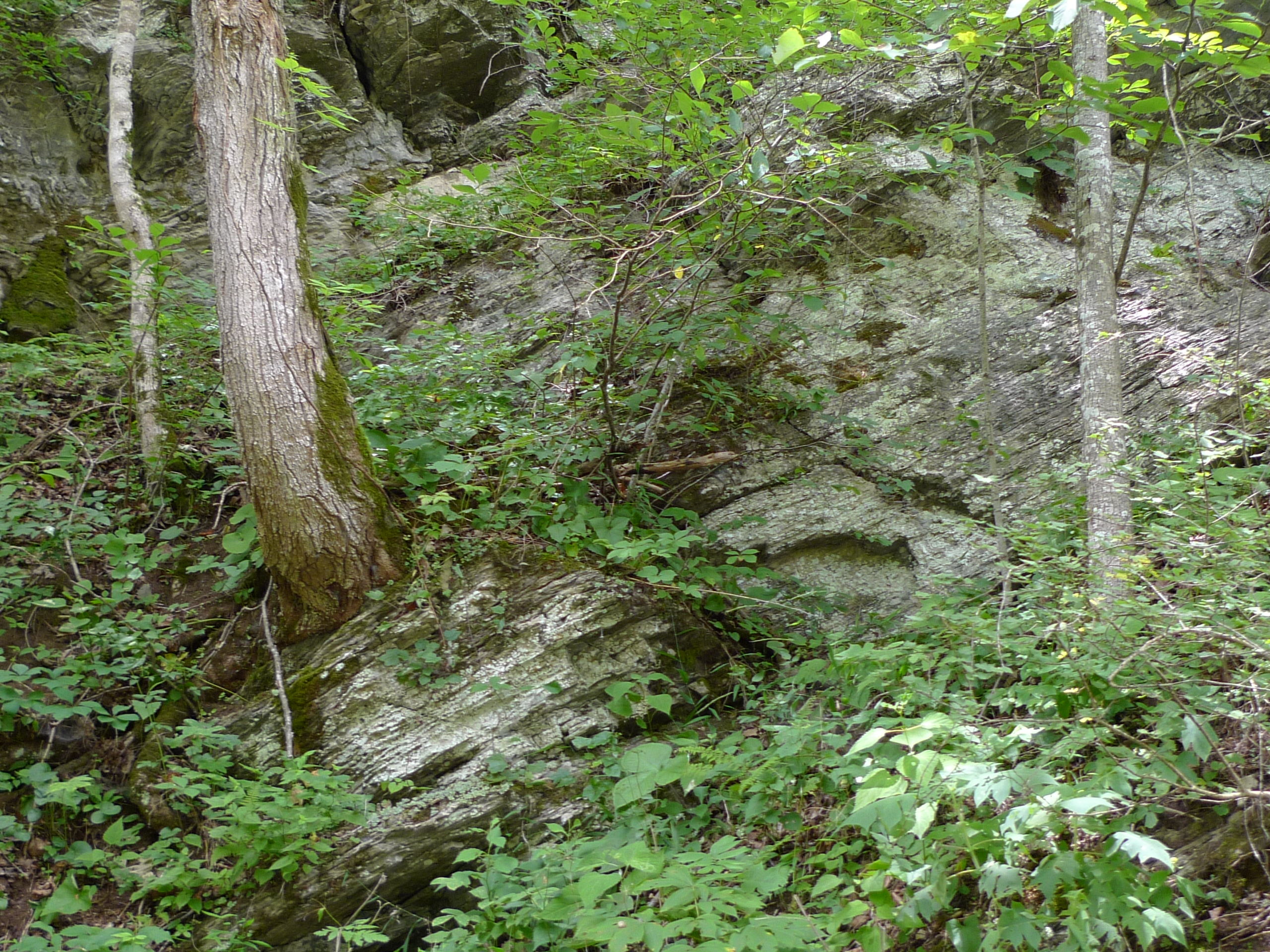
Rocks grow trees ?
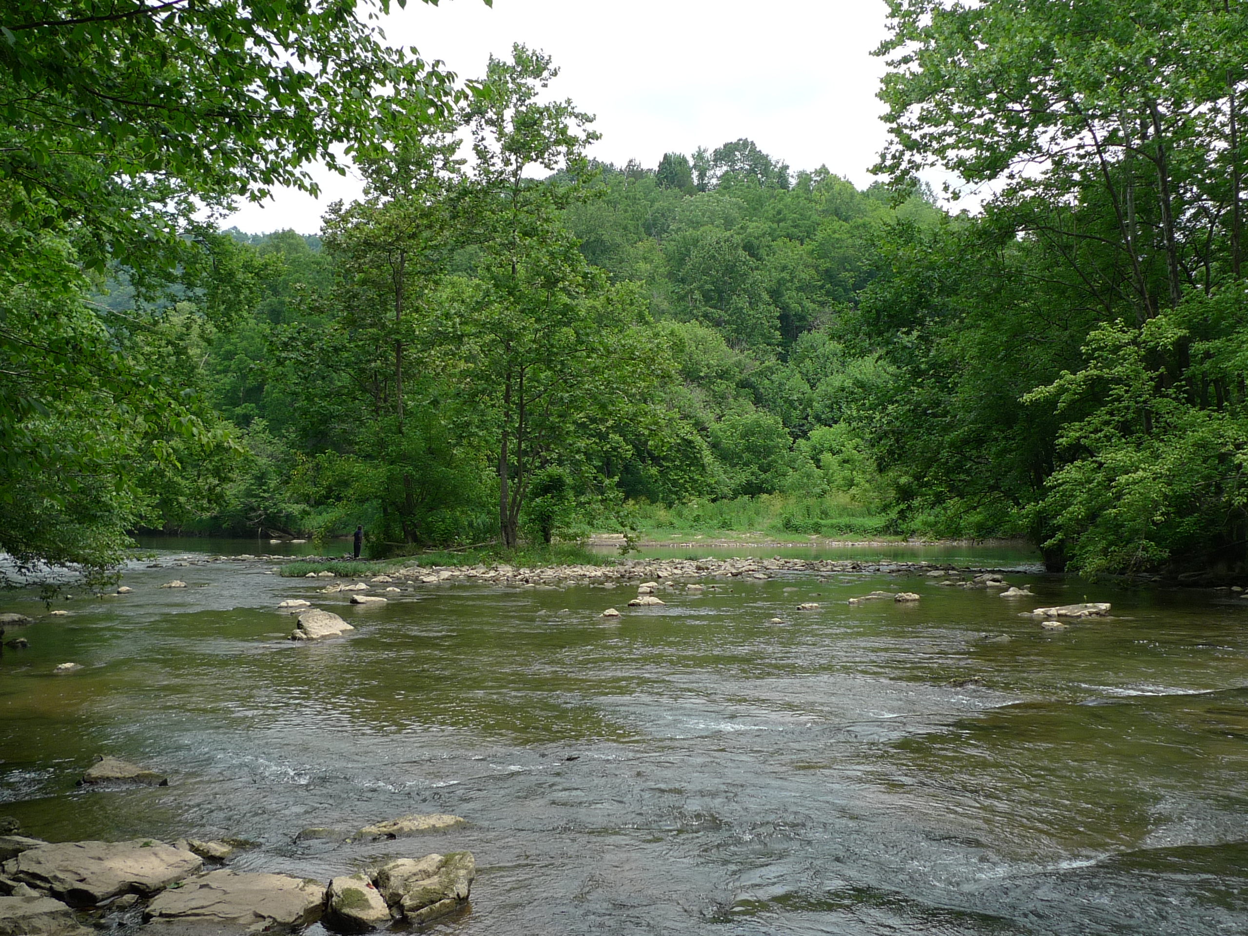
Confluence - Big Cedar and Clinch Rivers
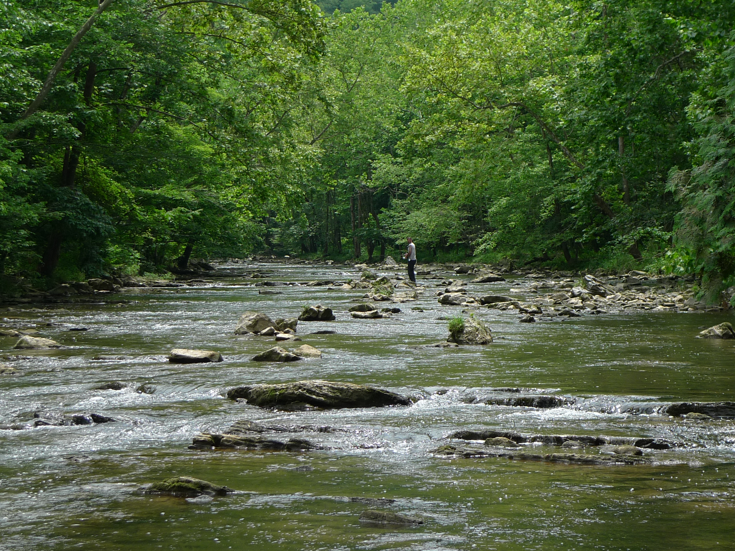
Big Cedar fisherman
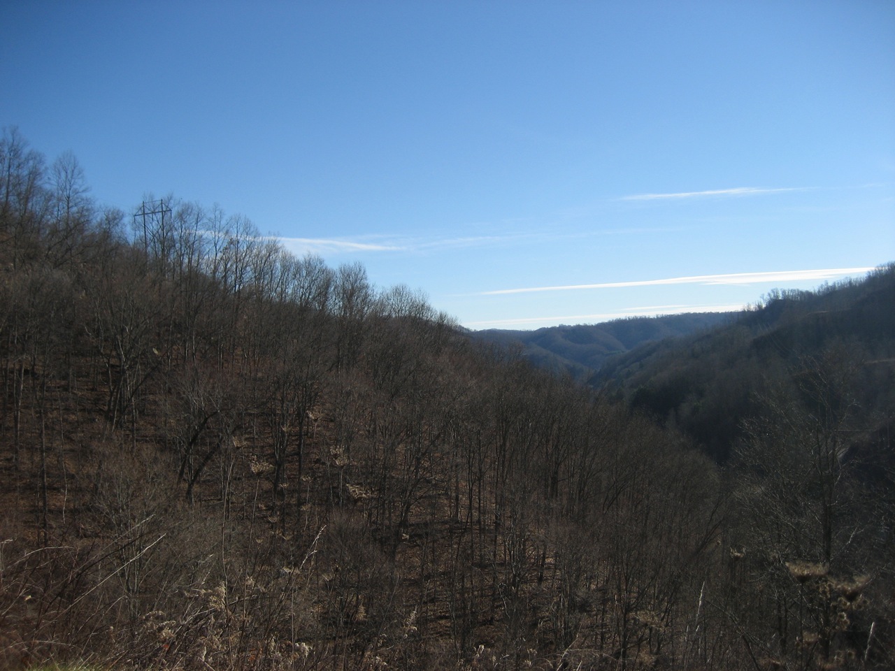
vandyke hollow 2
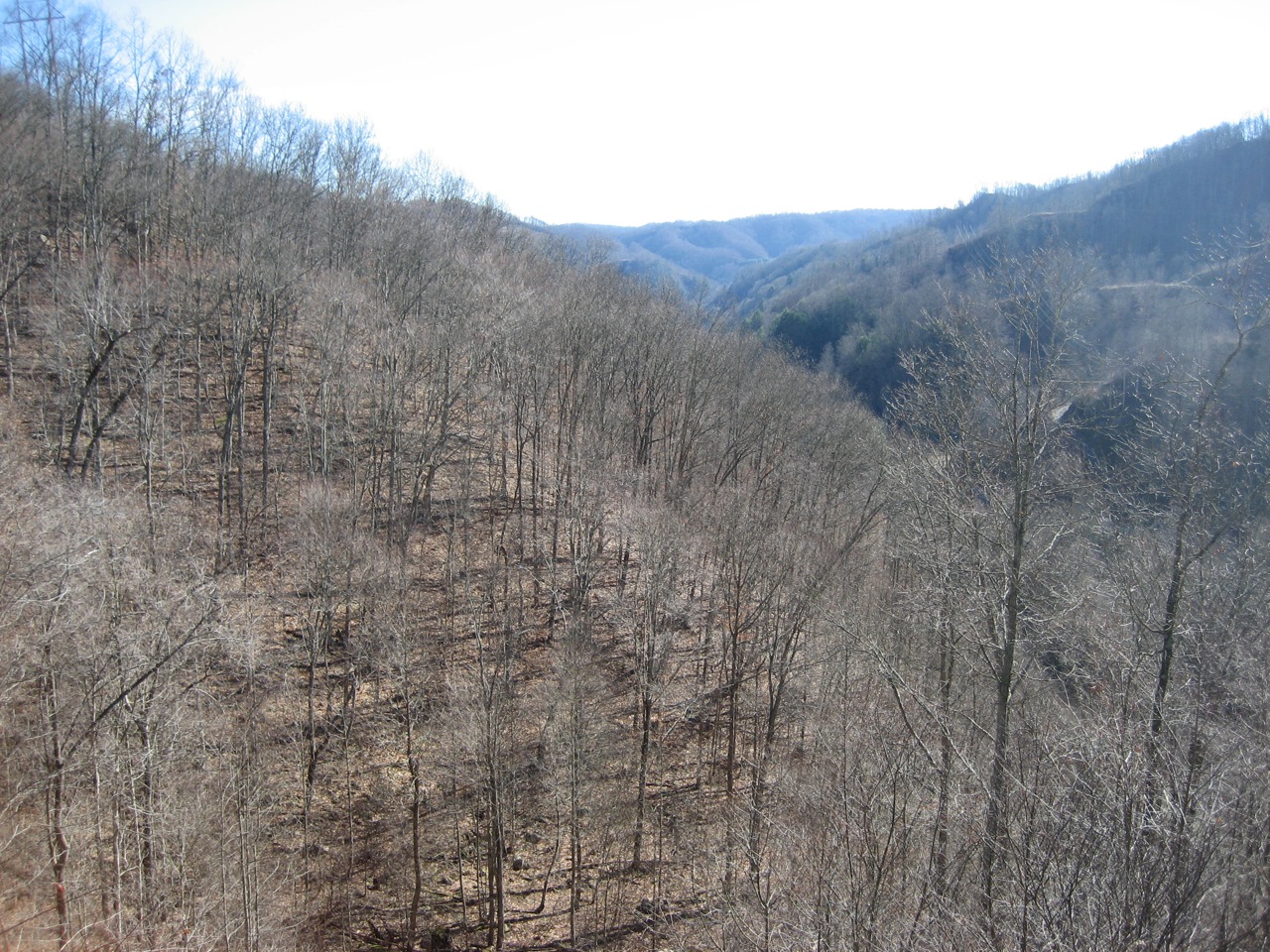
vandyke hollow
Topographic Map of New Garden, VA, USA
Find elevation by address:

Places in New Garden, VA, USA:
Places near New Garden, VA, USA:
Hickory Junction
Honaker
Tunnel Hill
686 Green Acres Rd
Swords Creek
Trail of the Lonesome Pine, Rosedale, VA, USA
Russell County
Trail of the Lonesome Pine, Lebanon, VA, USA
667 Co Rd 791
Spring City Rd, Cleveland, VA, USA
Cleveland
Chaffin Lane
Locust Lane
Mcreynolds Lane
Bailey Drive
North Hazel Mountain Road
336 Robert Phillips Dr
Castlewood
Flat Spur
Recent Searches:
- Elevation of Tenjo, Cundinamarca, Colombia
- Elevation of Côte-des-Neiges, Montreal, QC H4A 3J6, Canada
- Elevation of Bobcat Dr, Helena, MT, USA
- Elevation of Zu den Ihlowbergen, Althüttendorf, Germany
- Elevation of Badaber, Peshawar, Khyber Pakhtunkhwa, Pakistan
- Elevation of SE Heron Loop, Lincoln City, OR, USA
- Elevation of Slanický ostrov, 01 Námestovo, Slovakia
- Elevation of Spaceport America, Co Rd A, Truth or Consequences, NM, USA
- Elevation of Warwick, RI, USA
- Elevation of Fern Rd, Whitmore, CA, USA