Elevation of New Discovery Rd, Marshfield, VT, USA
Location: United States > Vermont > Washington County > Marshfield >
Longitude: -72.284035
Latitude: 44.3291904
Elevation: 528m / 1732feet
Barometric Pressure: 95KPa
Elevation Map:
Satellite Map:
Related Photos:
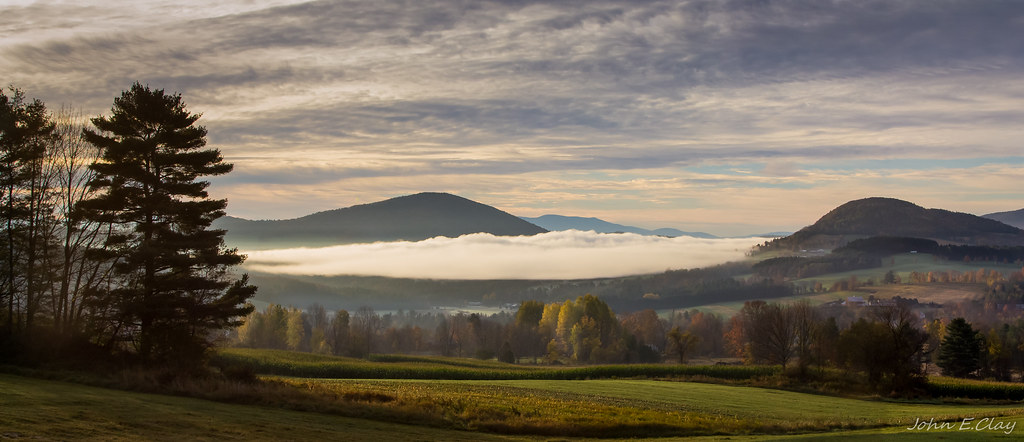
Peacham Mist

Kettle Pond Autunm
Lake Barnet
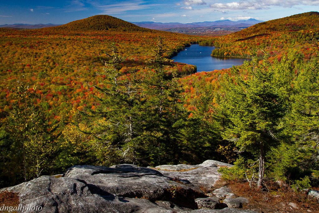
Secret ledge
Spruce Mountain, Vermont

Owl's Head

Frozen Kettle Pond in Infrared
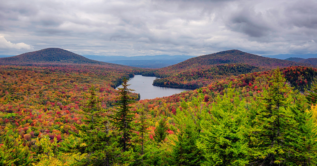
Colorful Overlook
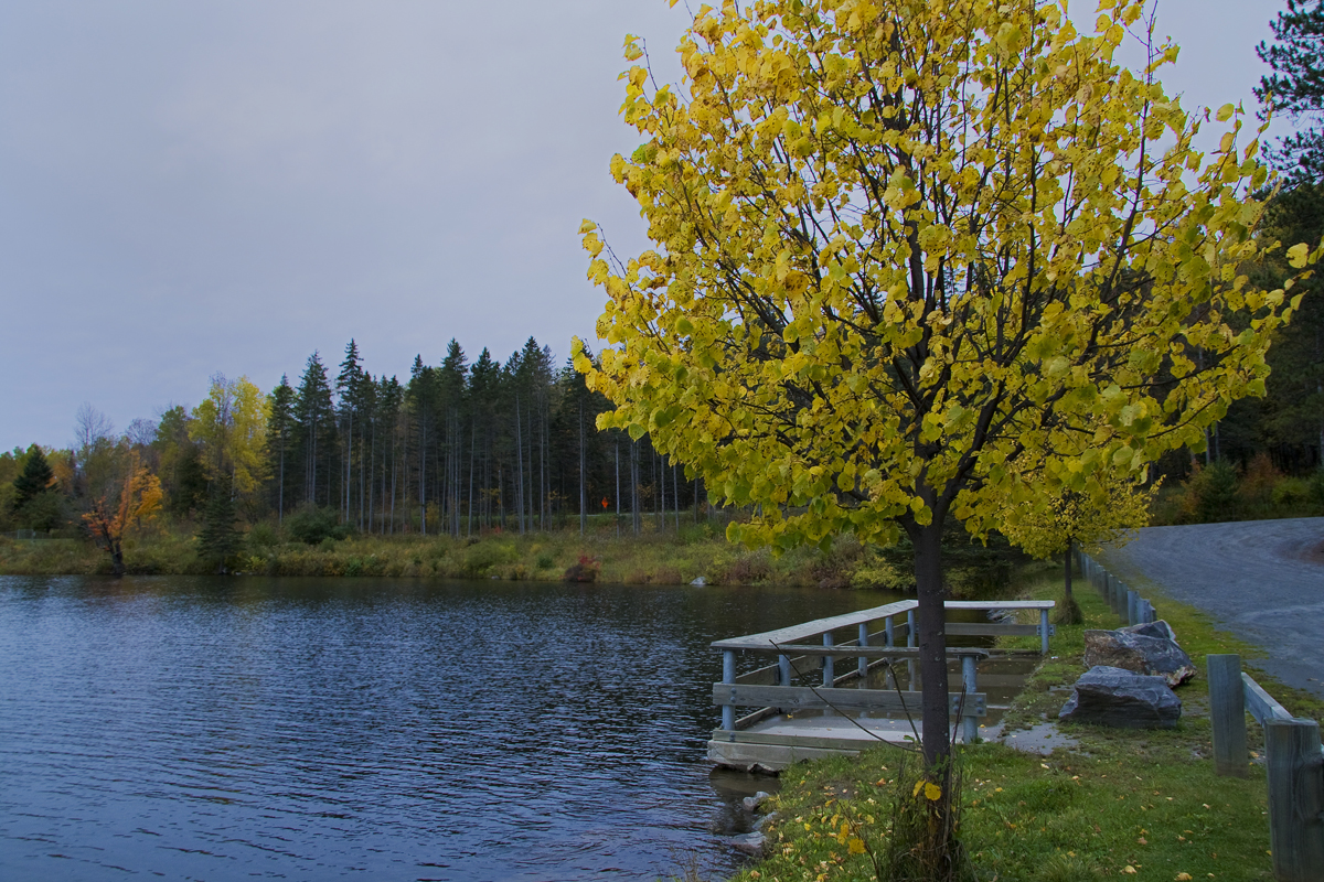
Mollys Fall Pond 2

Spruce Mountain, Vermont
View from Comstock B&B
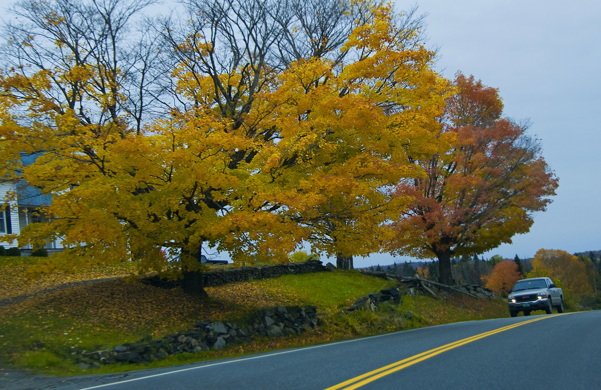
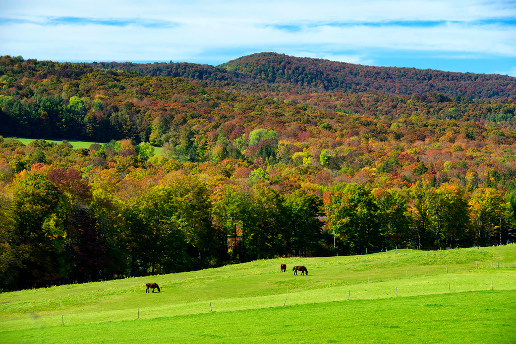
Vermont Fall Foliage 1

View from the Fire Tower

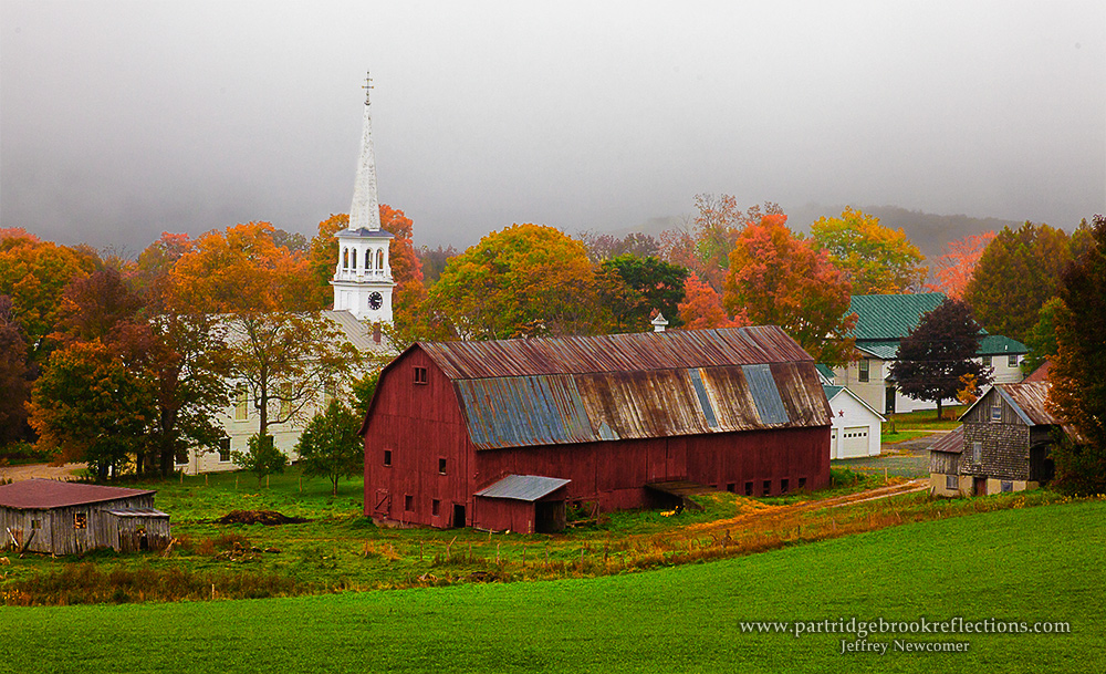
Cabot, VT - Farm
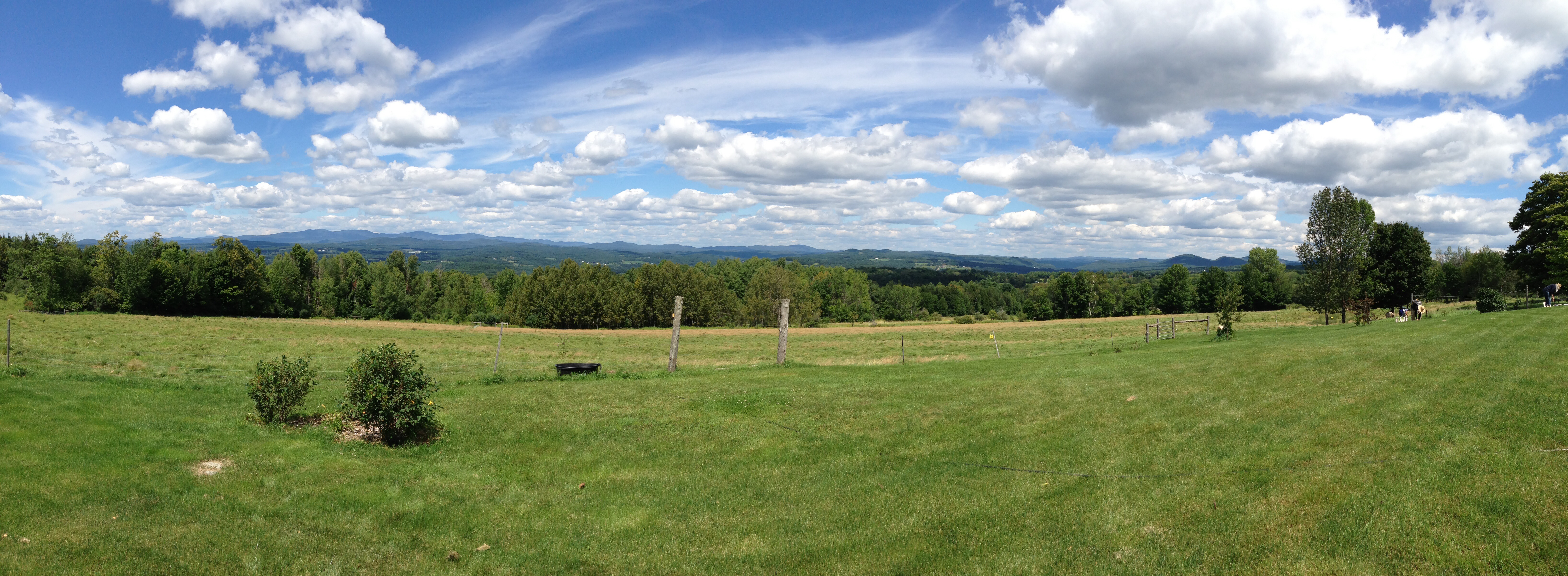
Peacham Panorama

Mollys Fall Pond 3
Come for the view, stay because you're dead.
The US as Seen From Vermont

Prime Picnic Spot
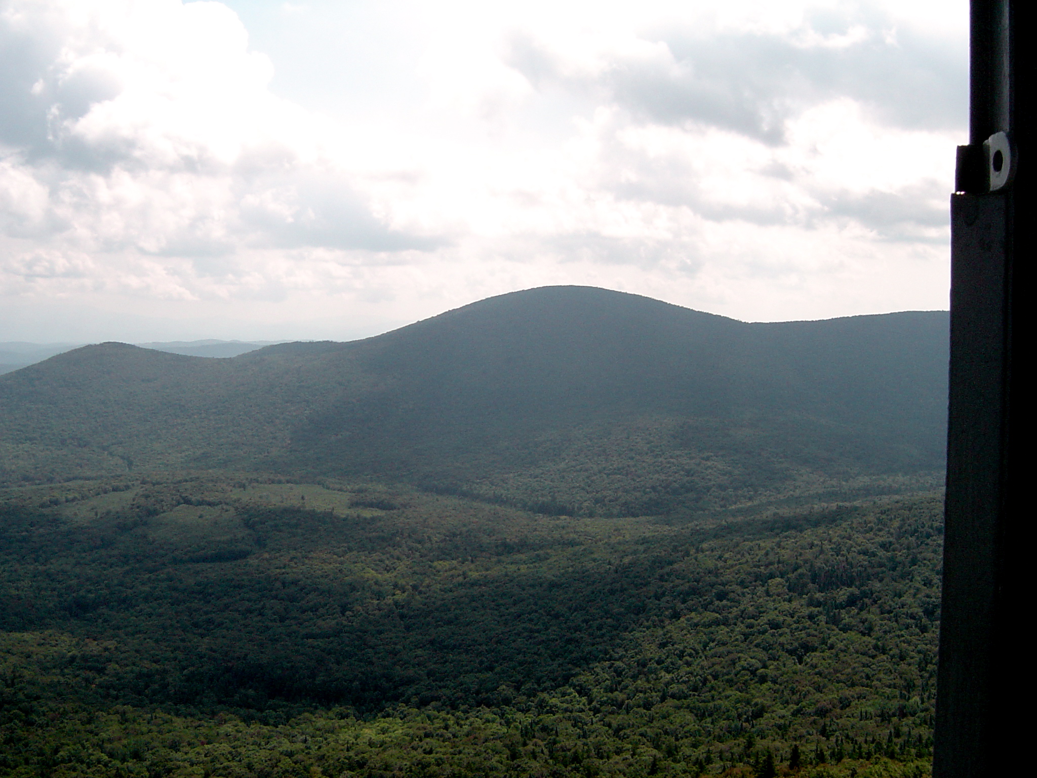
Fire Tower View (3)
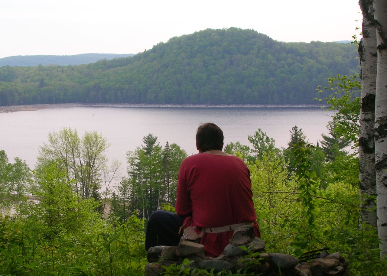
Thoughtful Thorson

A.M. Foster Covered Bridge
Little Unnamed Waterfall in Vermont

Springtime in Vermont

Peacham, Vermont
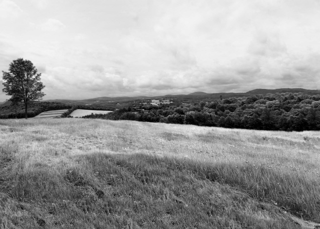
The Valley
vt_hdr_027.jpg
t42_908420151012_DSC5621.jpg

Infrared Kettle Pond
25 May 2014
Summer Sunset
IMGP1854 2009 july
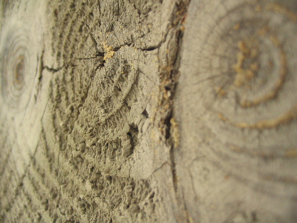
Woodgrain Landscape 2

Lake Groton Dam

Winter sunset on Kettle Pond
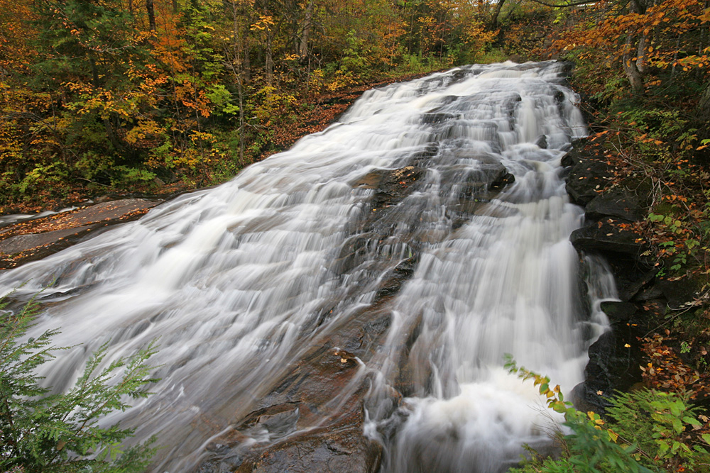
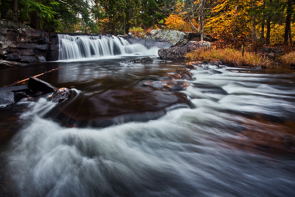
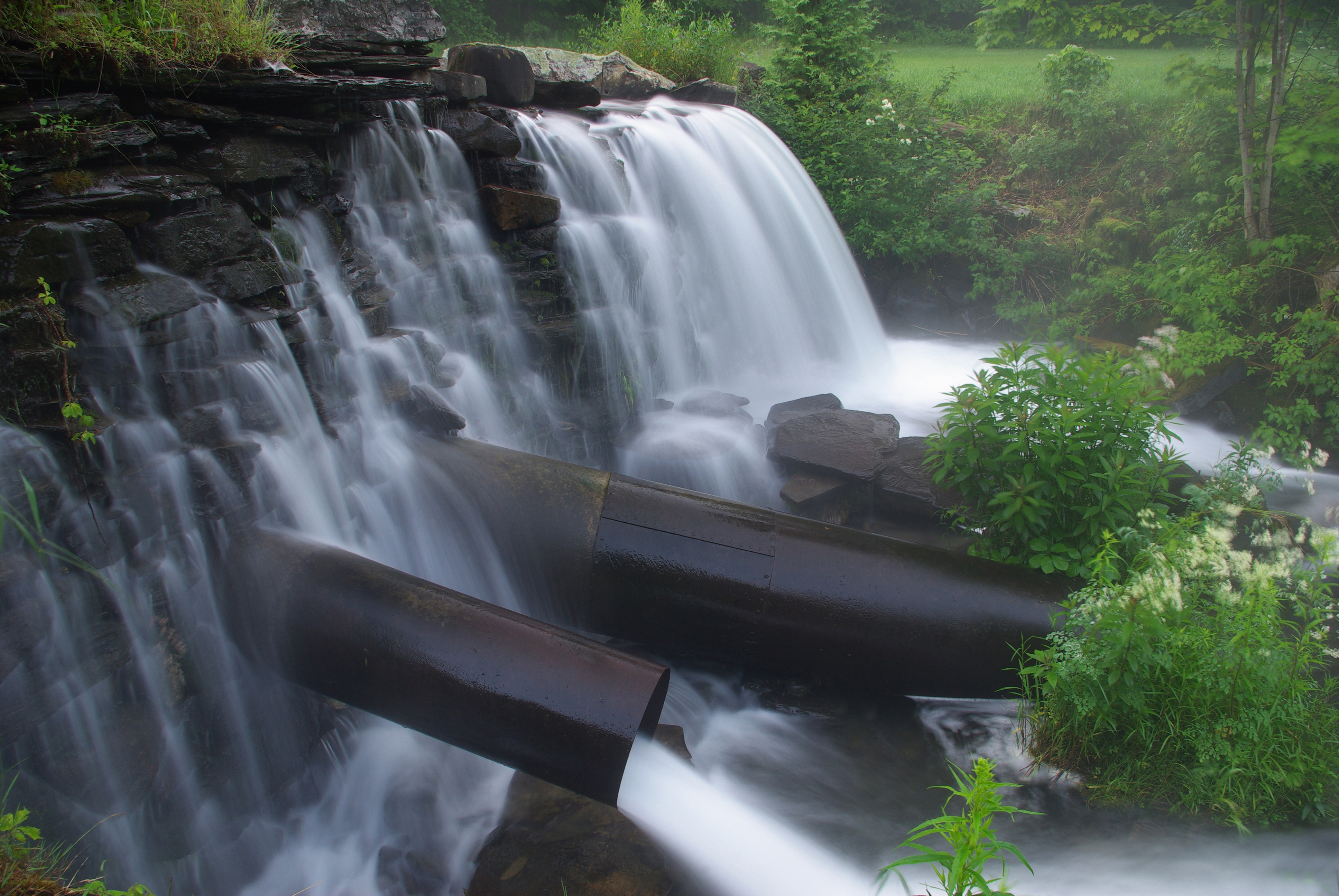
Marshfield Falls
Topographic Map of New Discovery Rd, Marshfield, VT, USA
Find elevation by address:

Places near New Discovery Rd, Marshfield, VT, USA:
56 William Lyford Rd
169 Peacham Pond Rd
Peacham Pond Road
108 Pleasant Ave
George Jewett Rd, Marshfield, VT, USA
169 Peacham Pond Rd
Lanesboro Rd, Marshfield, VT, USA
35 Keene Rd
889 Thistle Hill Rd
Backroads Farm Llc
Marshfield
234 Sawmill Rd
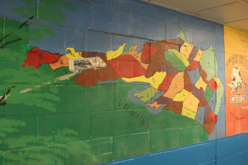
Cabot
Vermont Flower Farm
Cabot, VT, USA
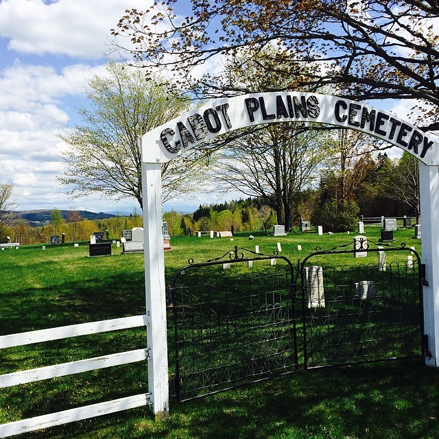
Cabot Plains Cemetery
1636 S Walden Rd
640 W Shore Rd
330 Bayley Hazen Rd
Cove Road
Recent Searches:
- Elevation of Côte-des-Neiges, Montreal, QC H4A 3J6, Canada
- Elevation of Bobcat Dr, Helena, MT, USA
- Elevation of Zu den Ihlowbergen, Althüttendorf, Germany
- Elevation of Badaber, Peshawar, Khyber Pakhtunkhwa, Pakistan
- Elevation of SE Heron Loop, Lincoln City, OR, USA
- Elevation of Slanický ostrov, 01 Námestovo, Slovakia
- Elevation of Spaceport America, Co Rd A, Truth or Consequences, NM, USA
- Elevation of Warwick, RI, USA
- Elevation of Fern Rd, Whitmore, CA, USA
- Elevation of 62 Abbey St, Marshfield, MA, USA