Elevation of Cabot, VT, USA
Location: United States > Vermont > Caledonia County >
Longitude: -72.312302
Latitude: 44.4013947
Elevation: 328m / 1076feet
Barometric Pressure: 97KPa
Elevation Map:
Satellite Map:
Related Photos:
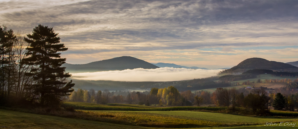
Peacham Mist
Drive to Stowe - roadside view 1
Secret ledge

Calais view

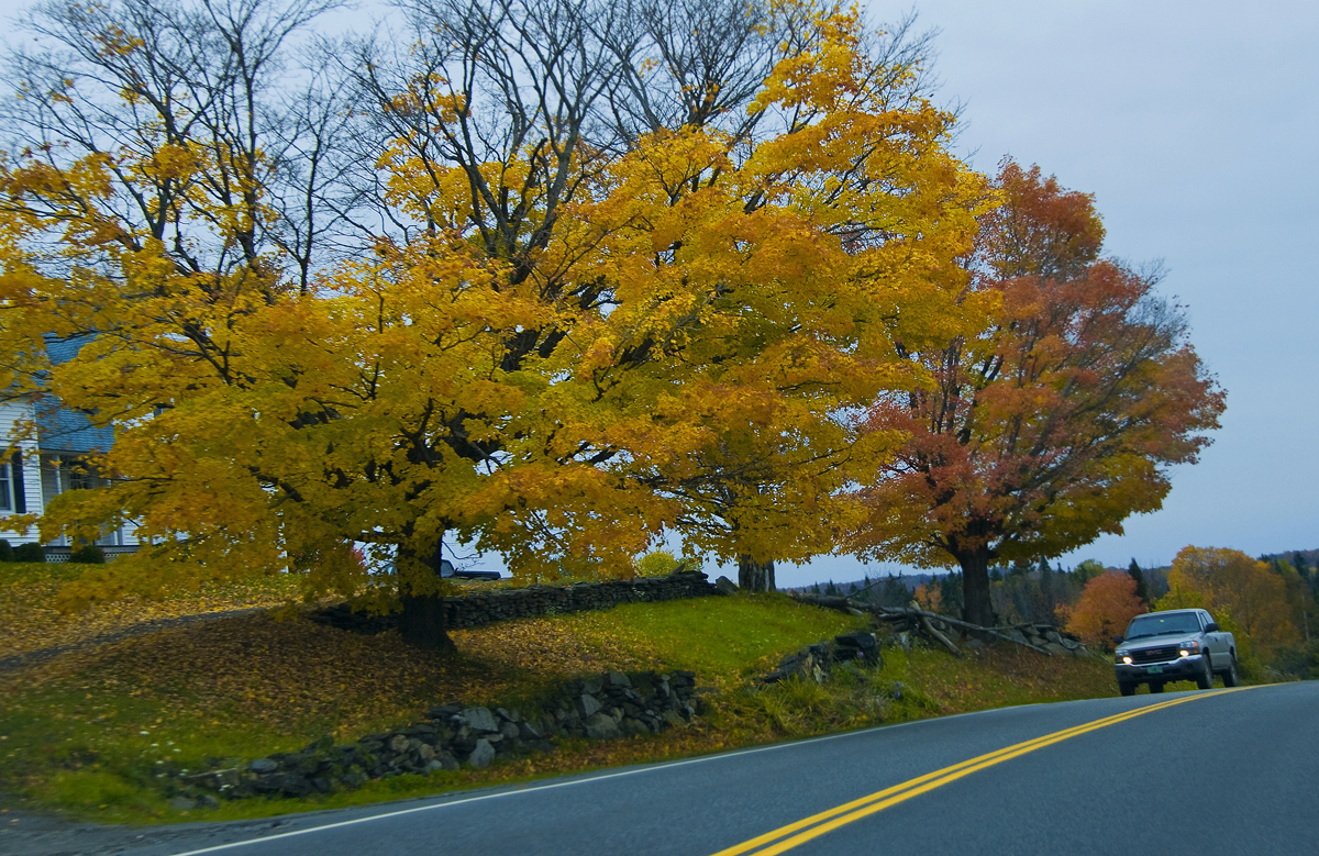
Drive to Stowe - roadside view 5
Drive to Stowe - roadside view 3
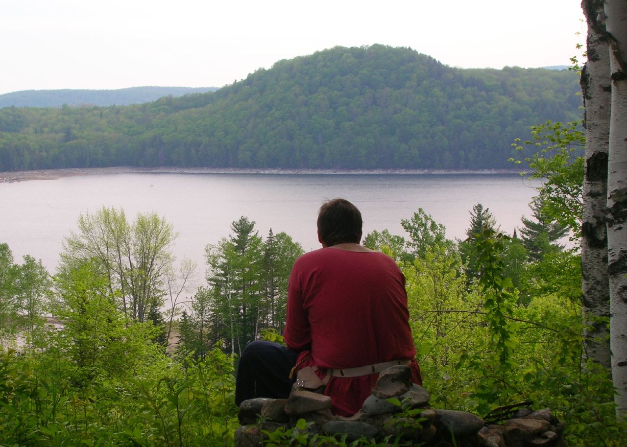
Thoughtful Thorson
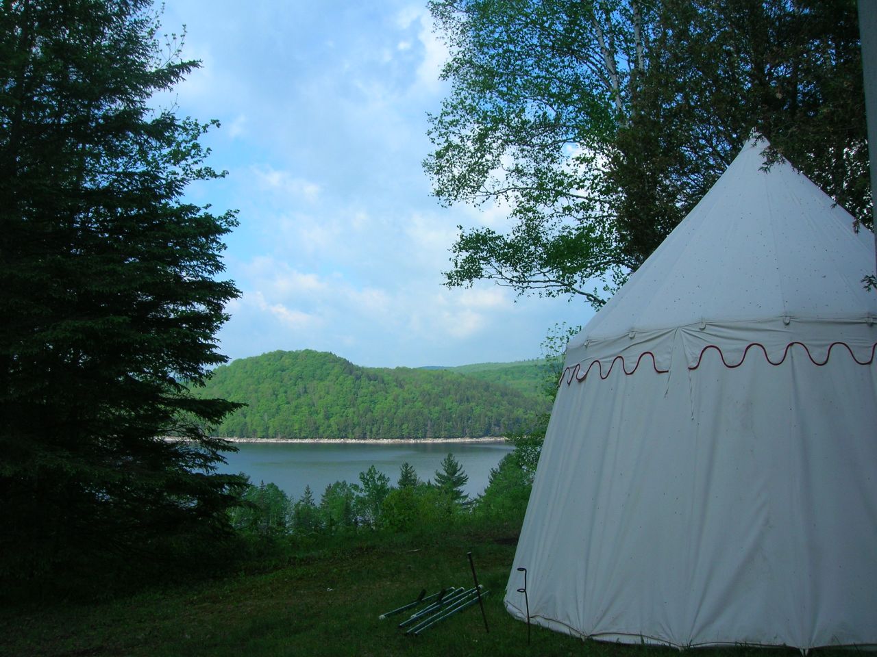
2007-05-27 Panteria View w Tent
Peacham Panorama
Come for the view, stay because you're dead.
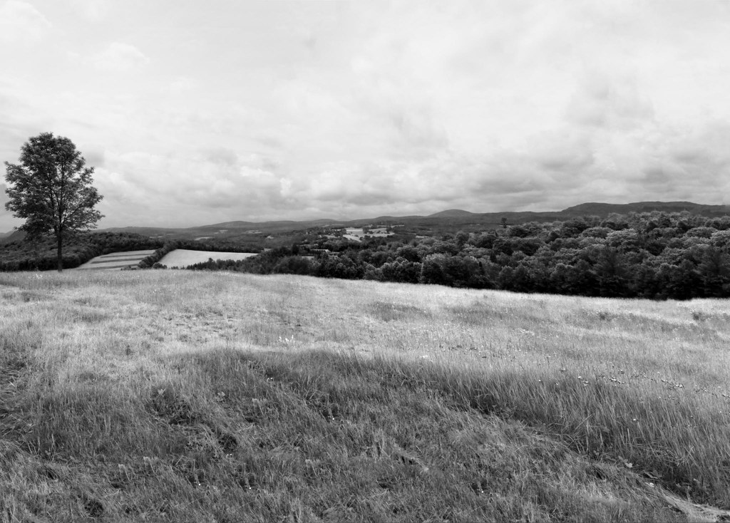
The US as Seen From Vermont

Prime Picnic Spot
Deer Mountain

End Of The Road
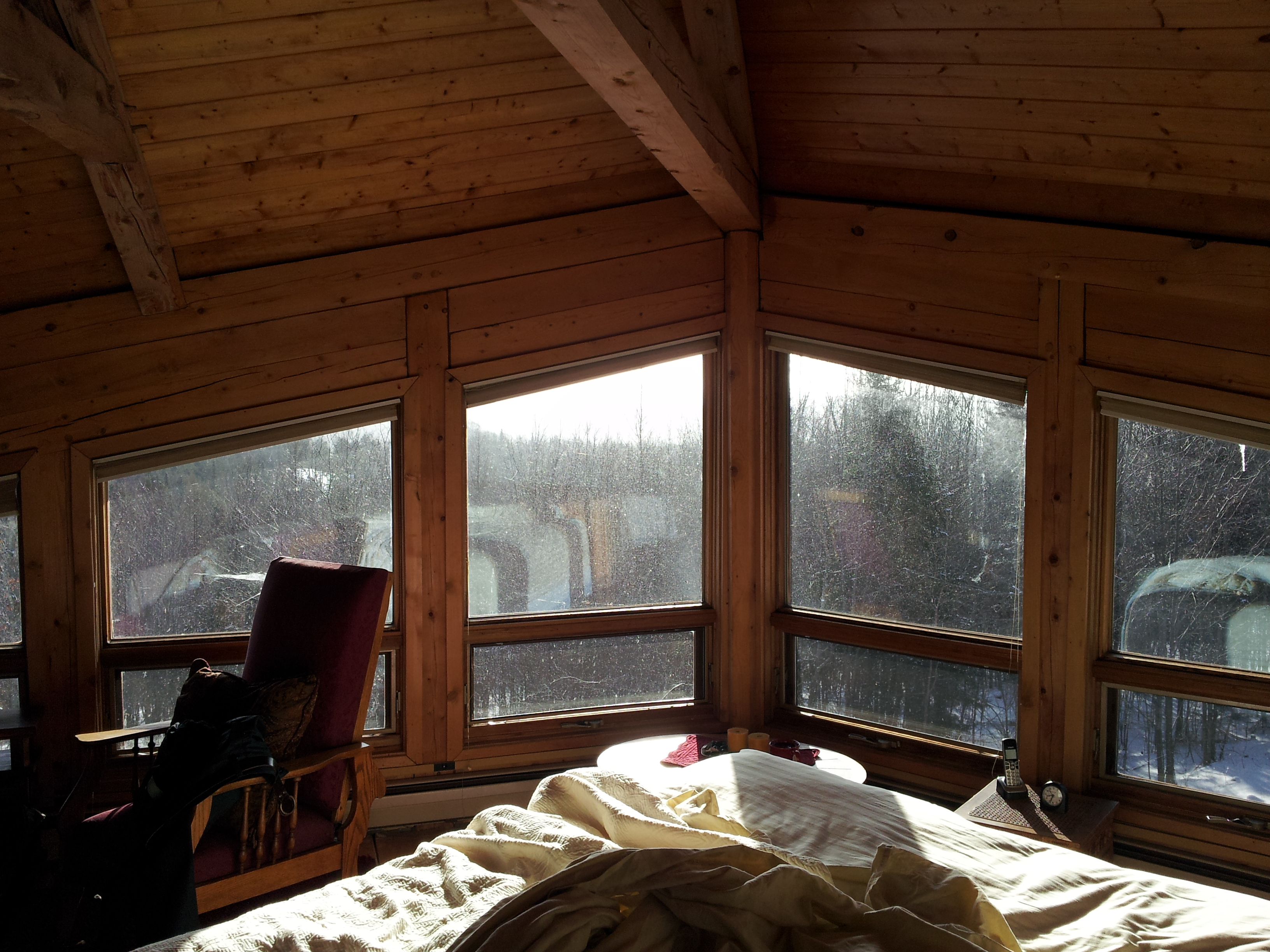
Upstairs Cabin View

Autumn at Nichols Ledge

Milky Way over the Foster Covered Bridge

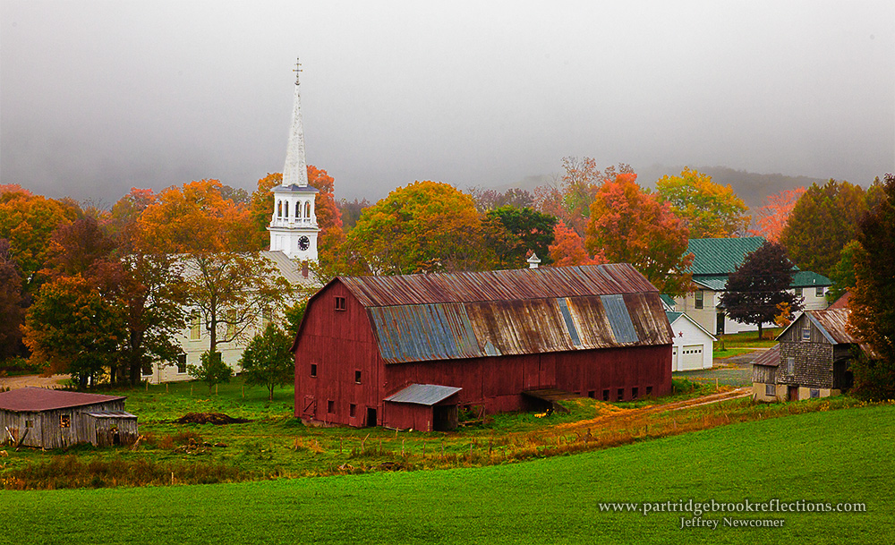
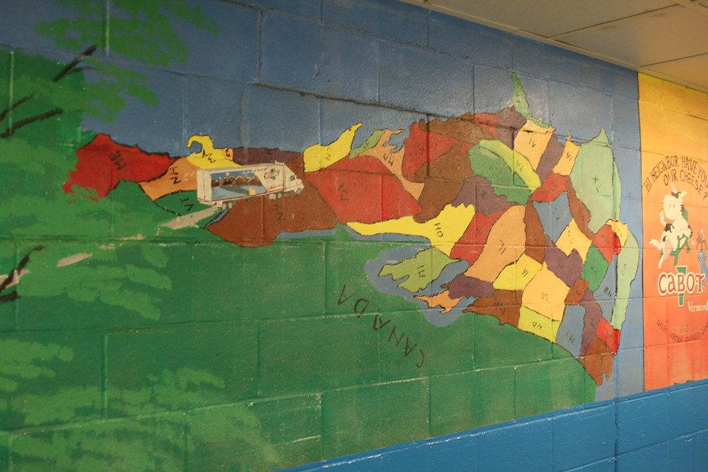
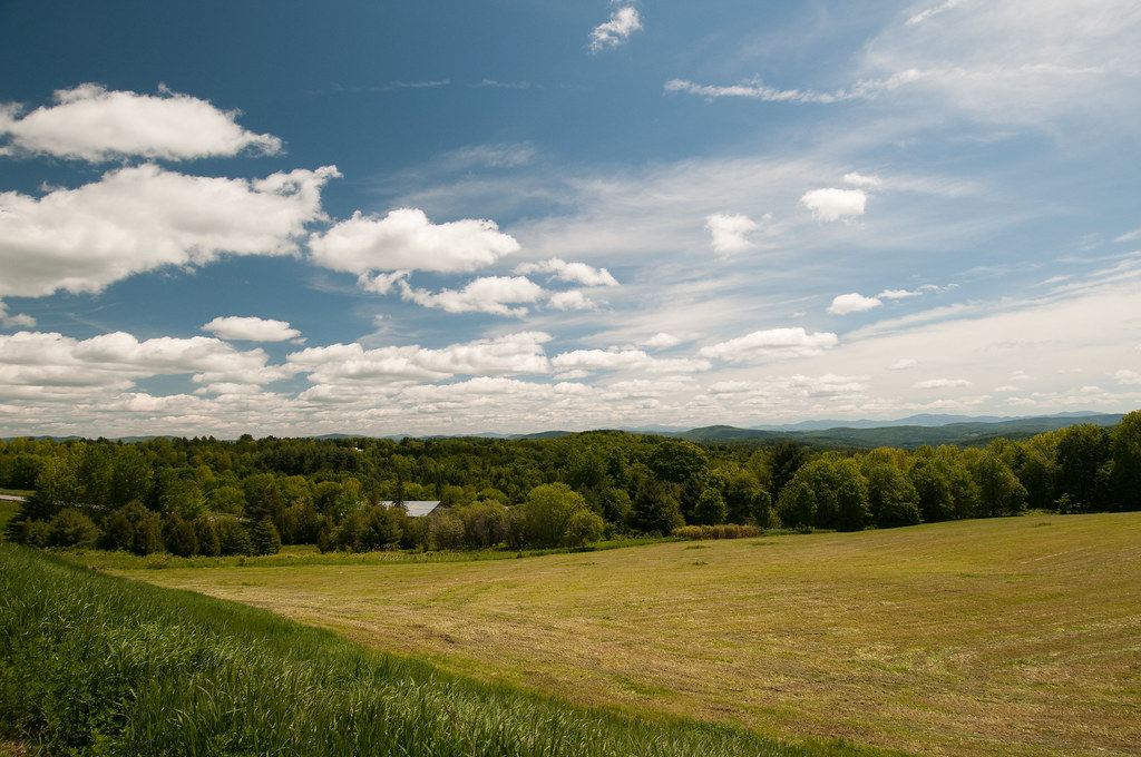
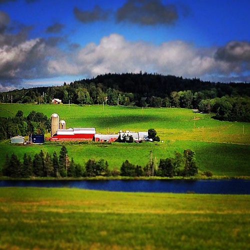
Cabot, VT - Farm

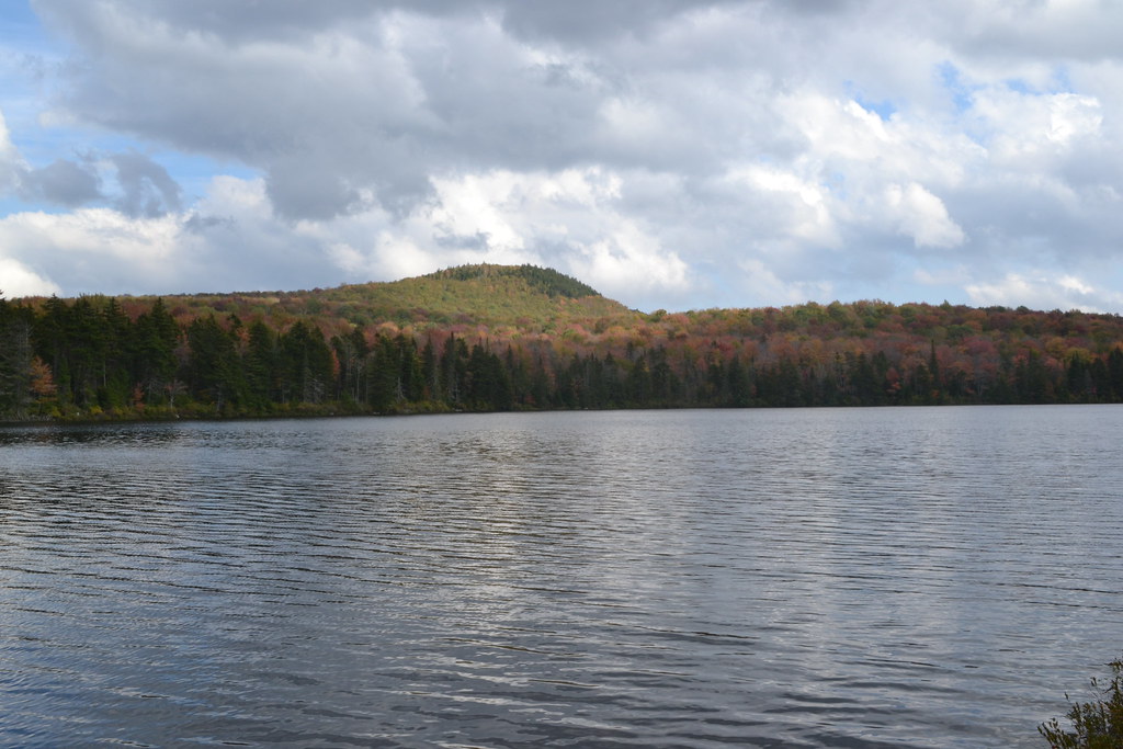
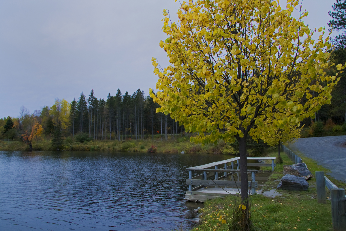
Kettle Pond Autunm
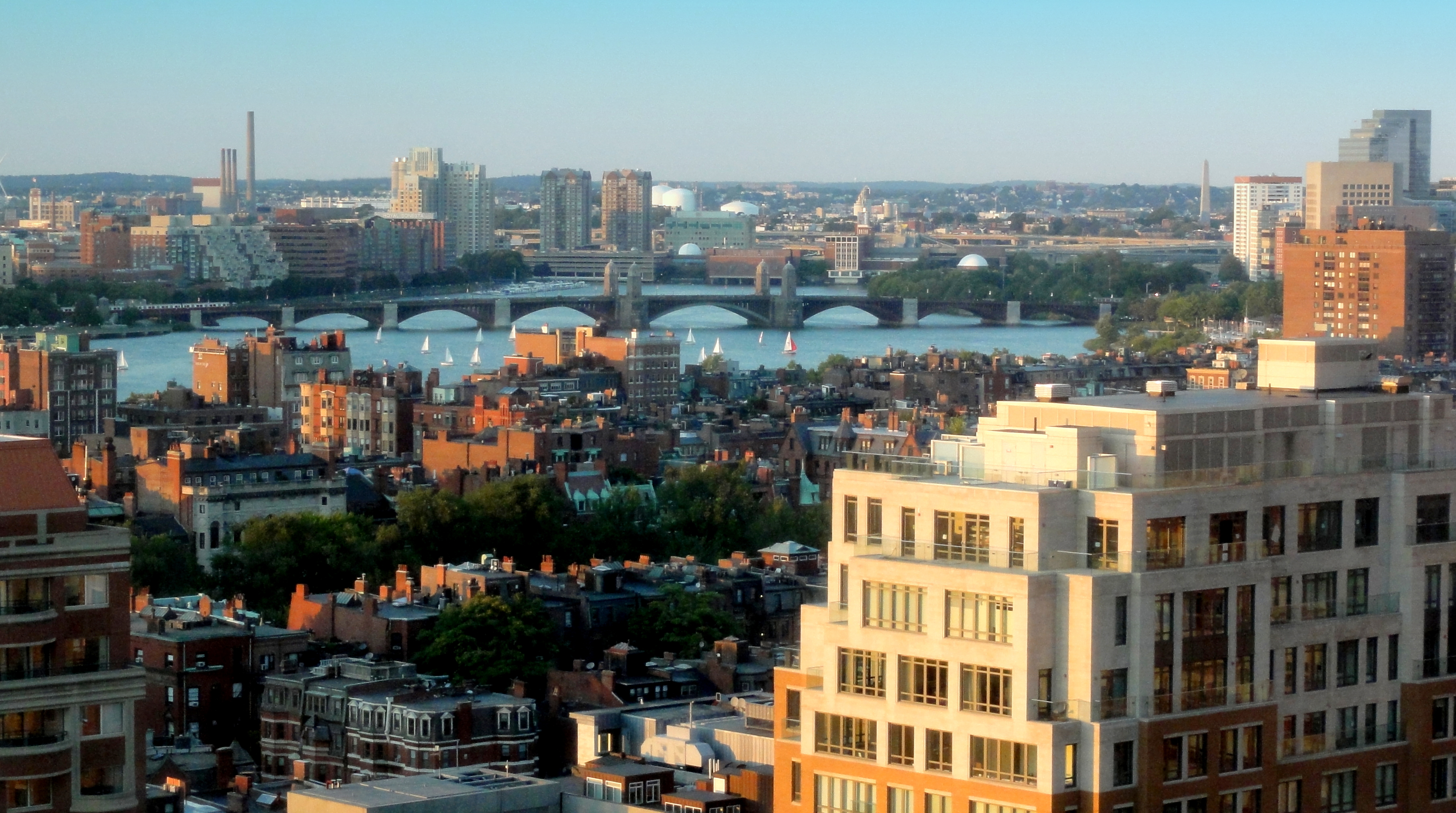
Boston view

Owl's Head
The Valley

Greenwood Lake Foliage

A.M. Foster Covered Bridge
t42_908420151012_DSC5621.jpg

Springtime in Vermont
Vermont Barn along State Road 14 near South Woodbury near Sabin Pond - JoeyBLS Photography
Winooski River Marshfield Vermont

Cloudy Day in Danville
bvdm-20090603-001
Mollys Fall Pond 2

Infrared Kettle Pond

Peacham, Vermont
25 May 2014

Somewhere in New England
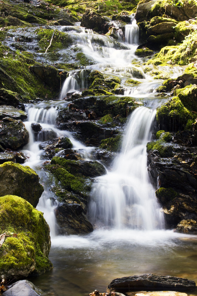
Little Falls
Vermont Fall Foliage
#vermont
Somewhere in New England
Topographic Map of Cabot, VT, USA
Find elevation by address:

Places in Cabot, VT, USA:
Places near Cabot, VT, USA:
234 Sawmill Rd
1636 S Walden Rd
889 Thistle Hill Rd
Backroads Farm Llc
234 Shovel Head Rd
131 Cross Rd
35 Keene Rd
Cabot, VT, USA
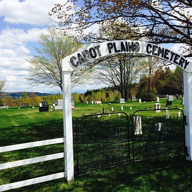
Cabot Plains Cemetery
3318 Cabot Rd
330 Bayley Hazen Rd
Woodbury Golf Course
Marshfield
108 Pleasant Ave
207 Vt-215
207 Vt-215
1547 Bricketts Crossing Rd
Peacham Pond Road
169 Peacham Pond Rd
George Jewett Rd, Marshfield, VT, USA
Recent Searches:
- Elevation of Lumagwas Diversified Farmers Multi-Purpose Cooperative, Lumagwas, Adtuyon, RV32+MH7, Pangantucan, Bukidnon, Philippines
- Elevation of Homestead Ridge, New Braunfels, TX, USA
- Elevation of Orchard Road, Orchard Rd, Marlborough, NY, USA
- Elevation of 12 Hutchinson Woods Dr, Fletcher, NC, USA
- Elevation of Holloway Ave, San Francisco, CA, USA
- Elevation of Norfolk, NY, USA
- Elevation of - San Marcos Pass Rd, Santa Barbara, CA, USA
- Elevation of th Pl SE, Issaquah, WA, USA
- Elevation of 82- D Rd, Captain Cook, HI, USA
- Elevation of Harlow CM20 2PR, UK