Elevation of Ness Rd, Kasilof, AK, USA
Location: United States > Alaska > Kenai Peninsula Borough > Cohoe >
Longitude: -151.30647
Latitude: 60.368538
Elevation: 19m / 62feet
Barometric Pressure: 101KPa
Elevation Map:
Satellite Map:
Related Photos:

View of NOAA Ship Rainier
Kasilof River
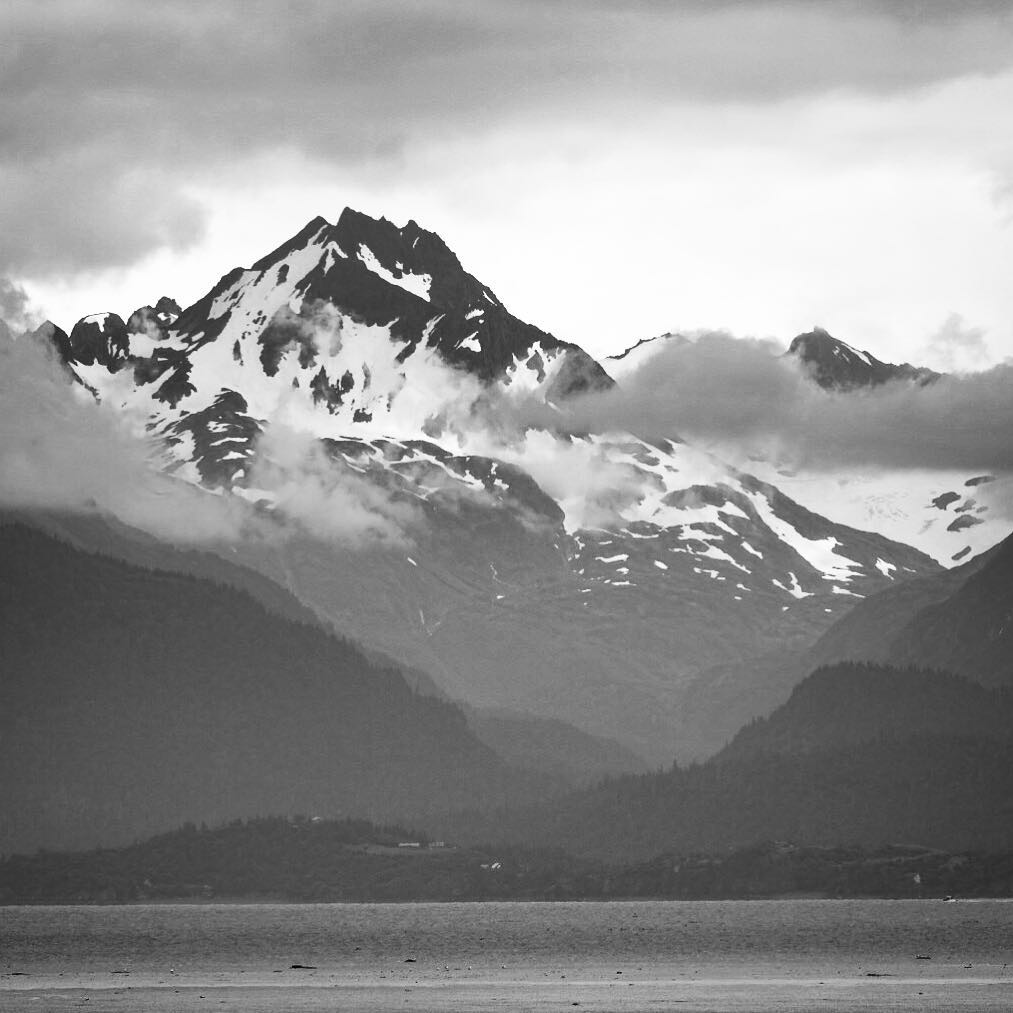
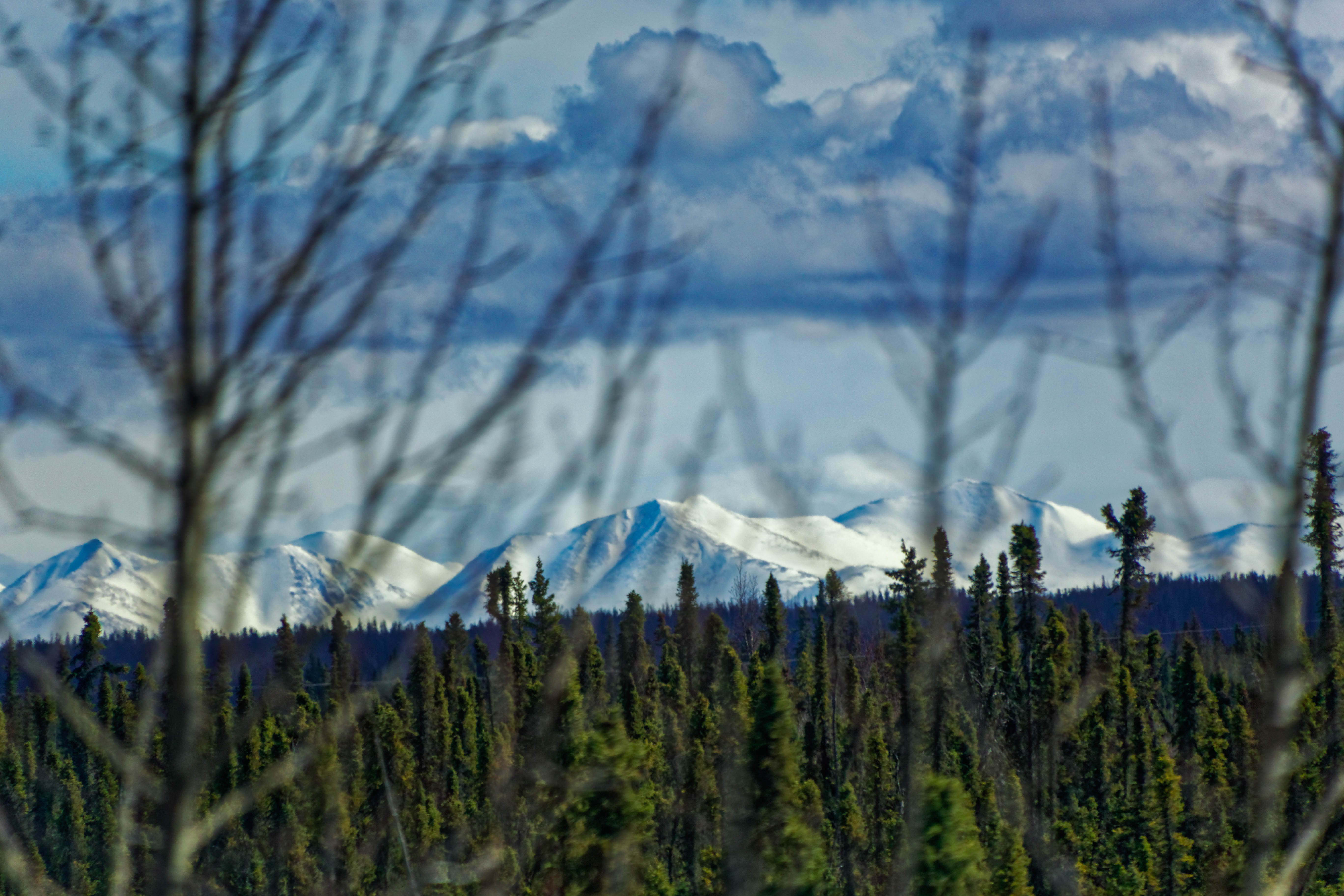
A stunning view of cloud enshrouded mountains in Alaska. #katchemakbay #homeralaska #homer #homerspit #kenaimountains #landscape #mountains #travel #travels #traveler #travelphoto #travelingforlife #travelphotography #picoftheday #photooftheday

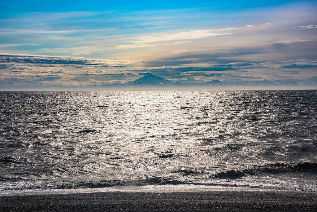
Kenai Beach

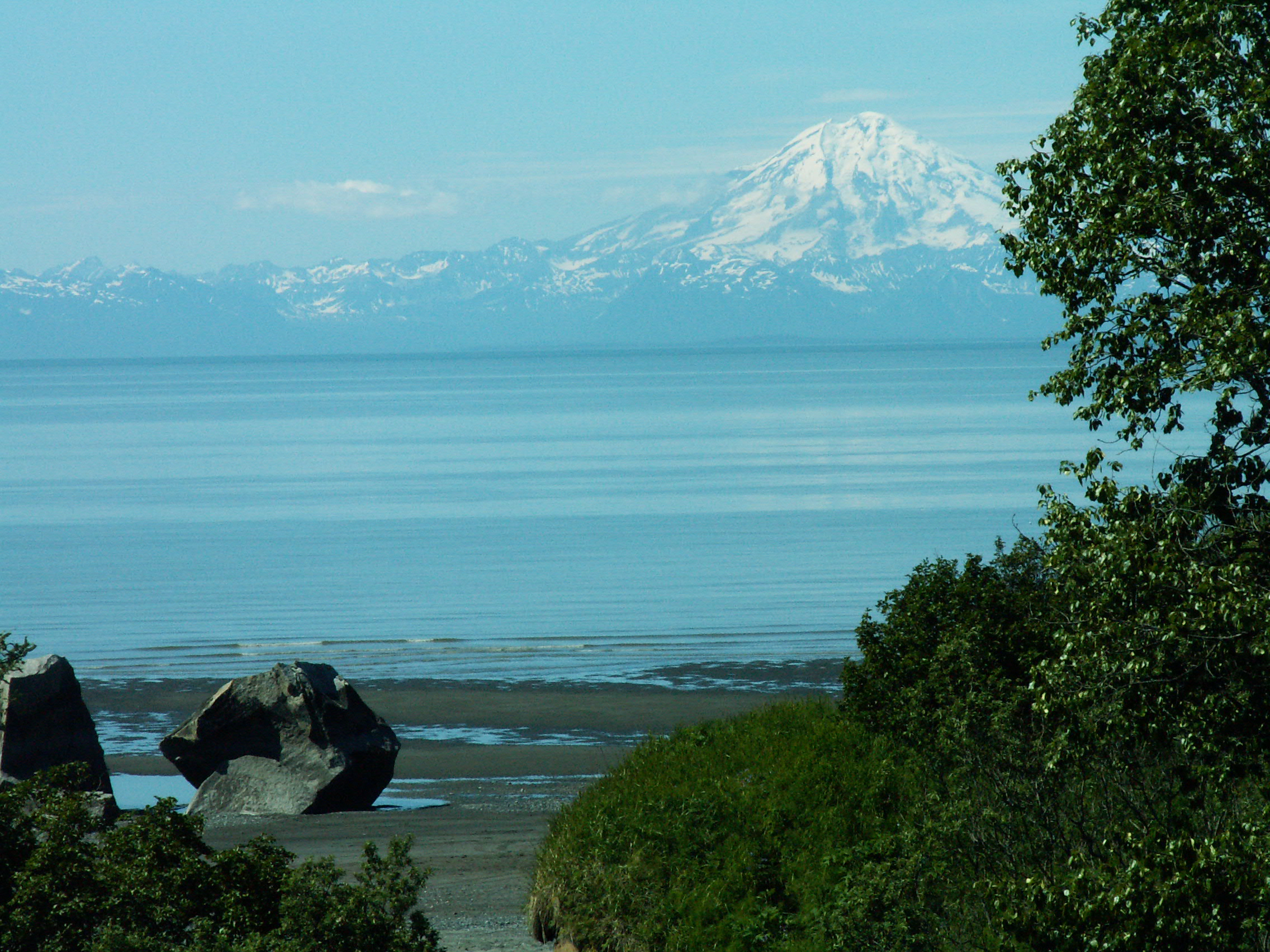
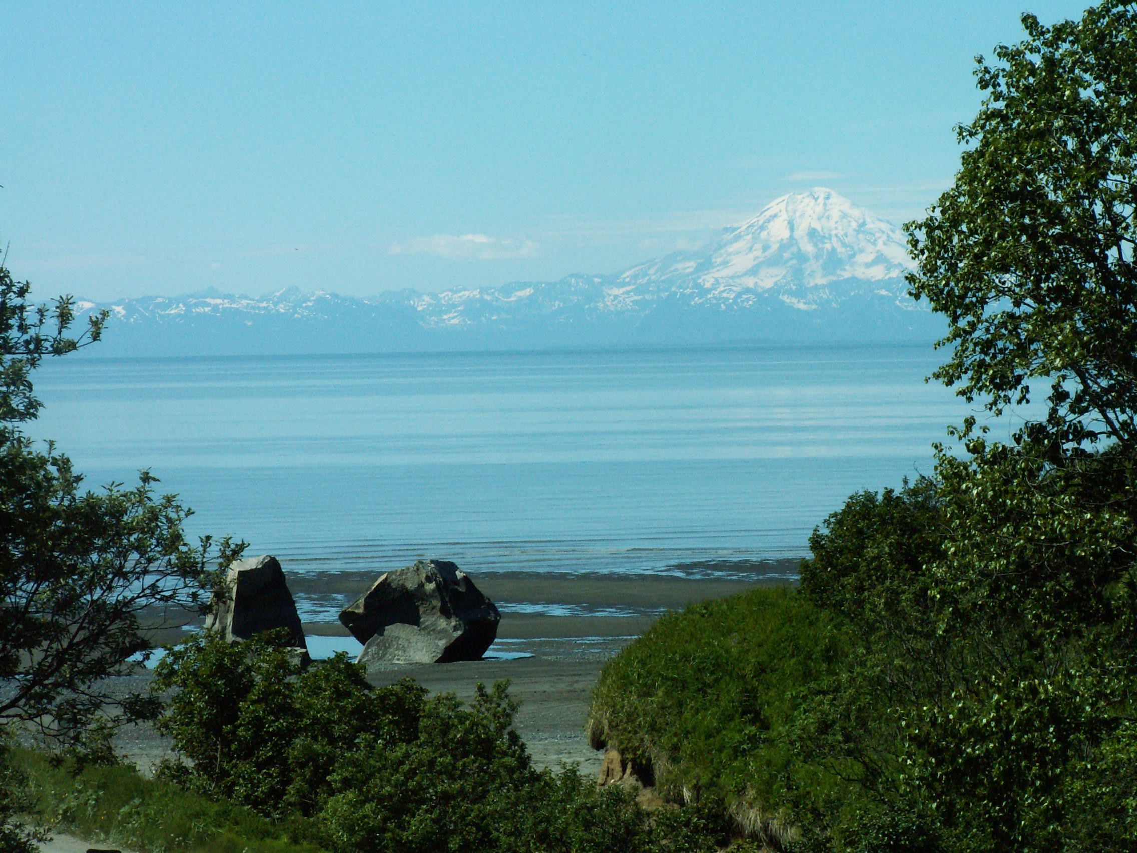
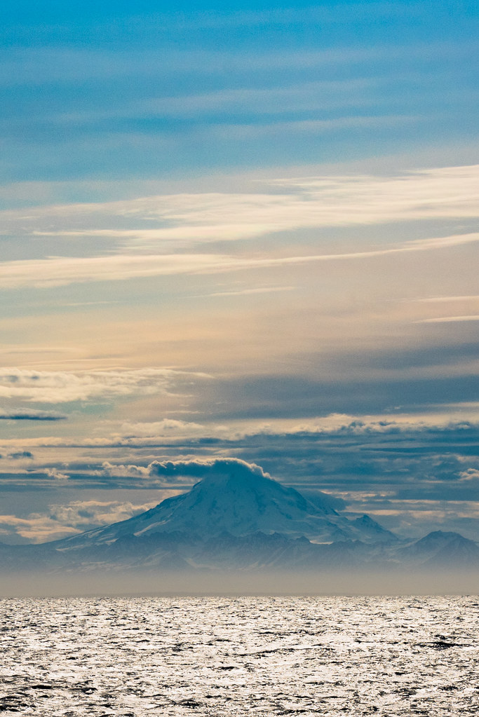
Over Looking the Cook Inlet
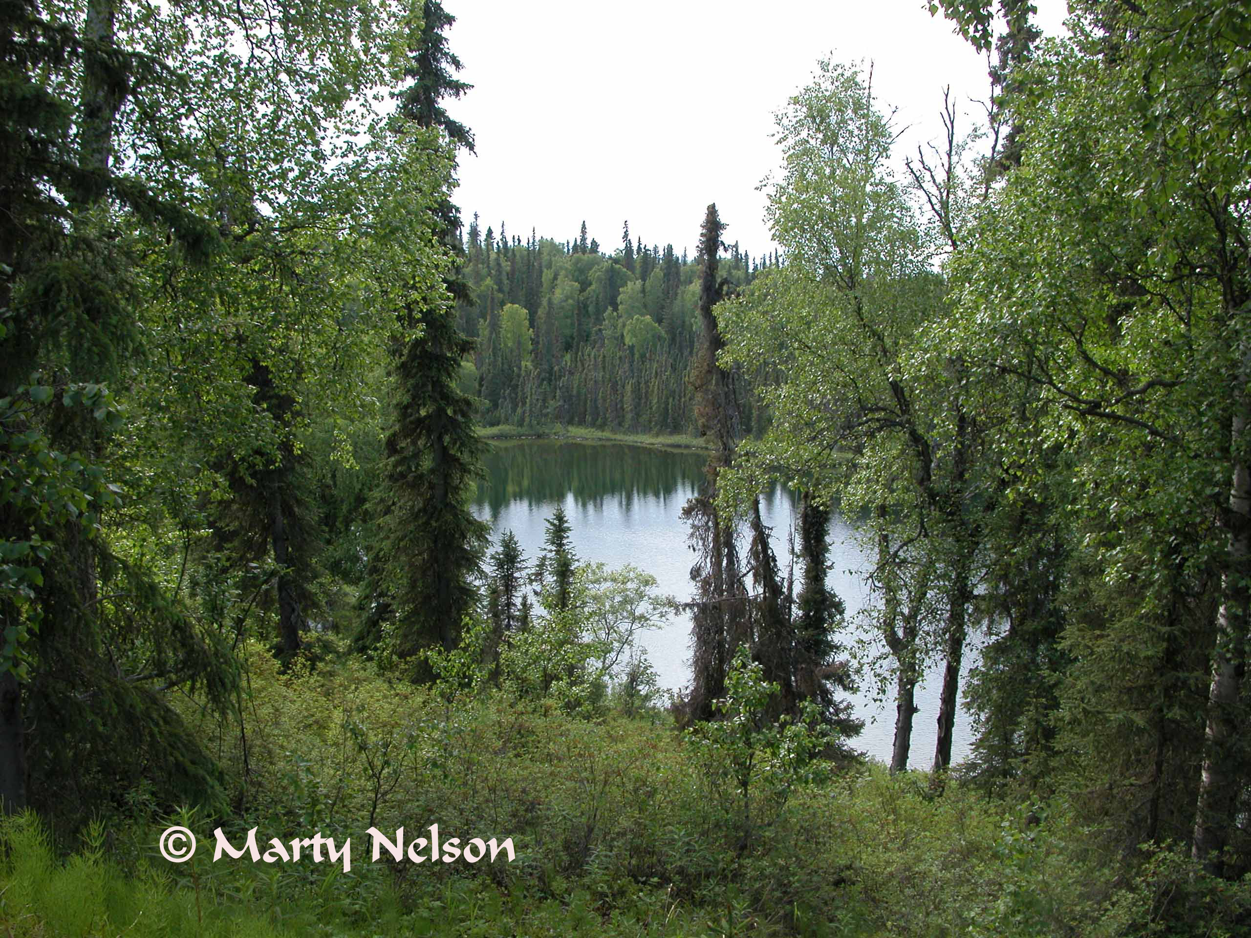
Echoes of Alaska, - Echo Lake, 2005 No. 1 - © Copyright by Marty Nelson.
View of the Boarding side of the Lodge

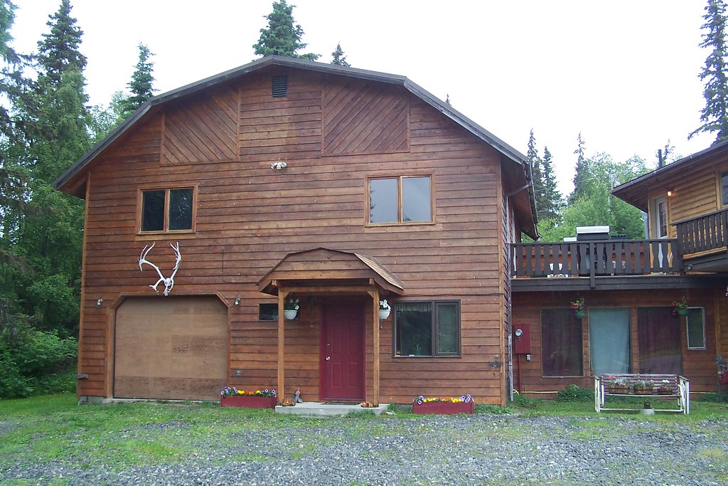
front view
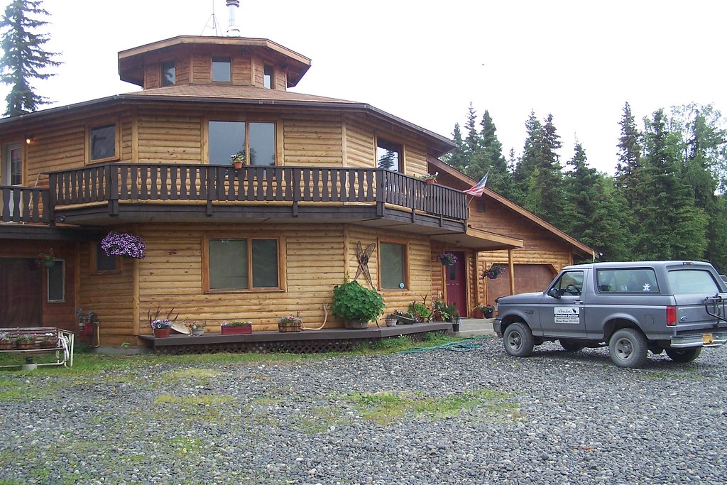
View of the House part of the Lodge
view from above

Alaska 2015
Alaska 2015
Alaska2006-07-02 12-42-47_

Alaska2006-07-02 12-42-35_
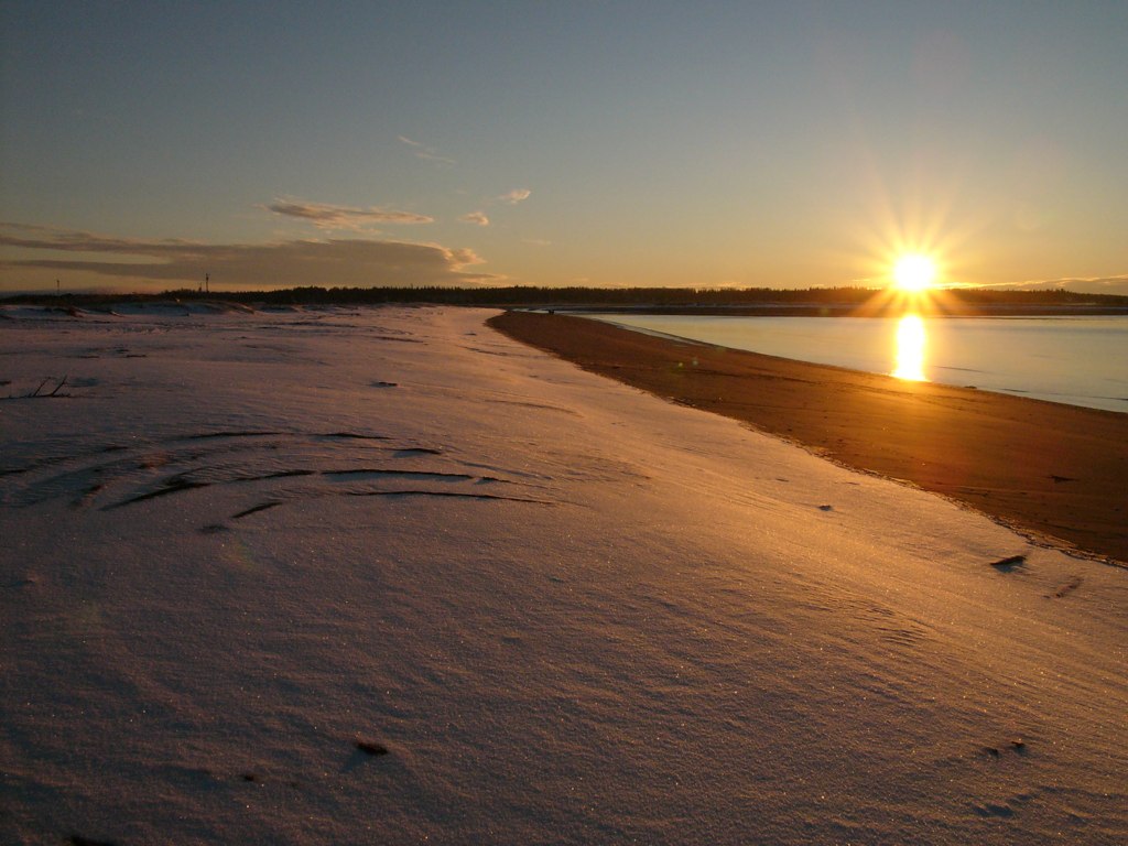
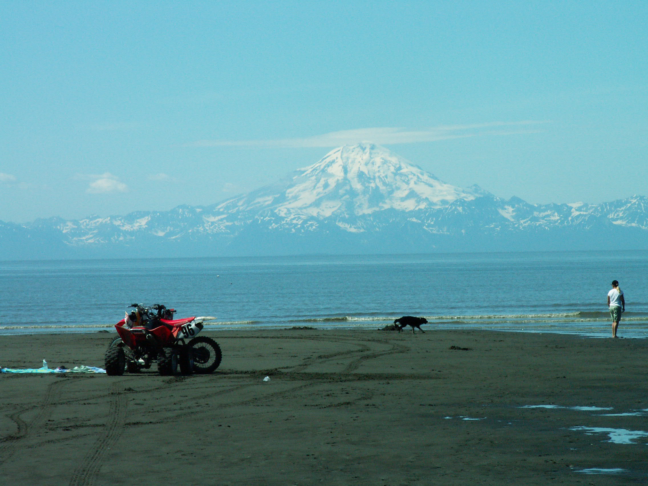
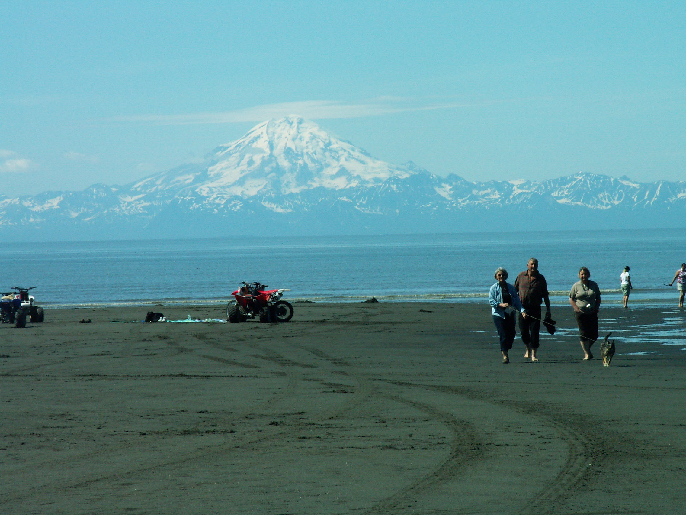
Snow on the Beach

somewhere in Clam Gulch
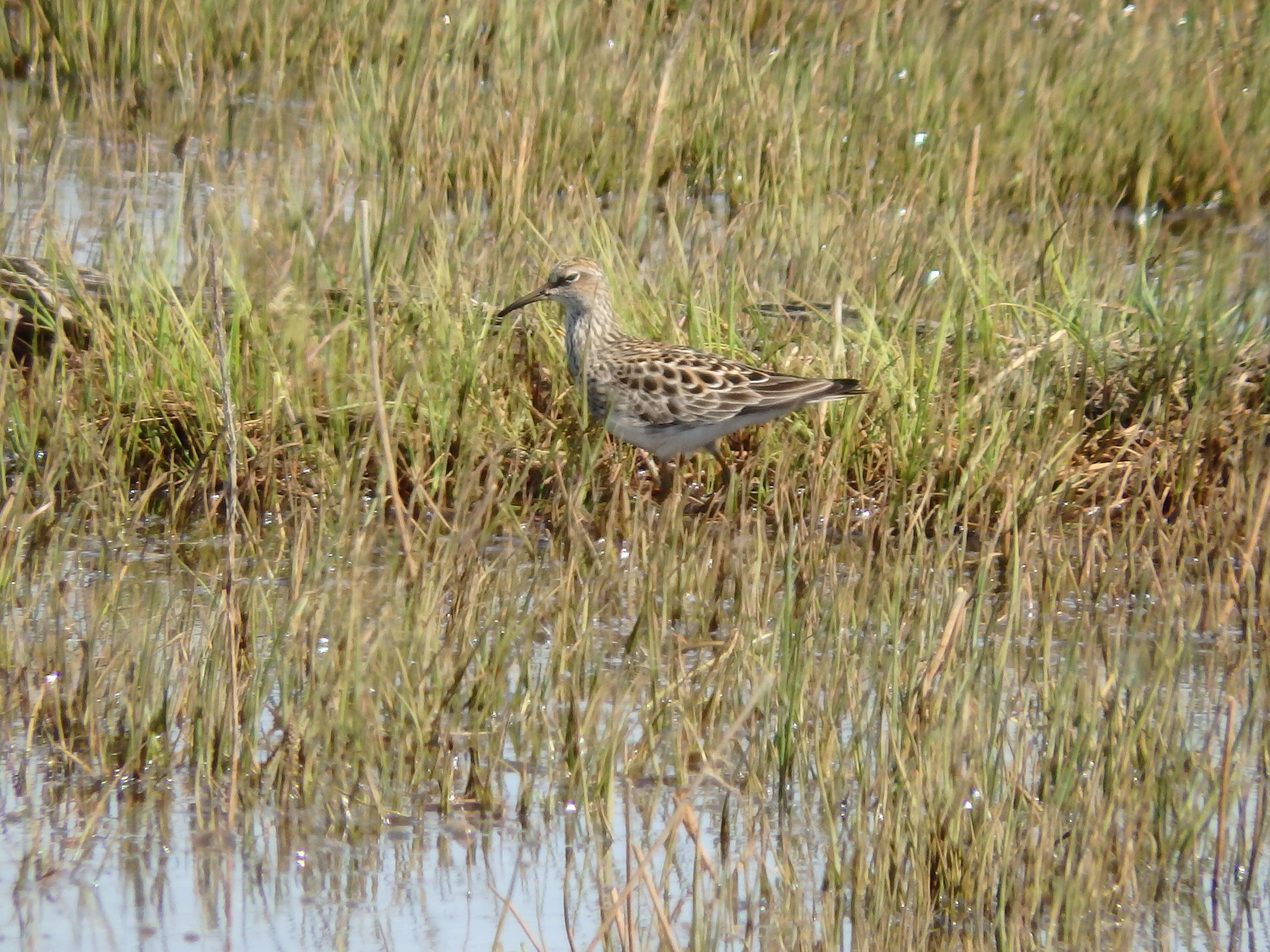
Scarab Sandpiper
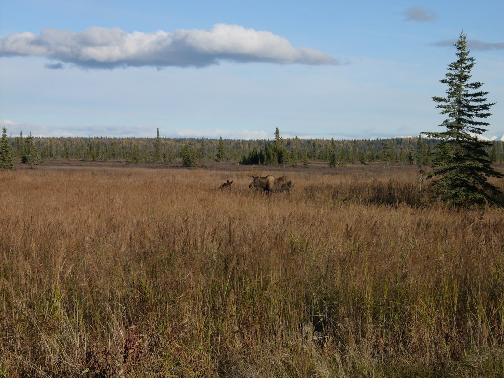
Moose Family

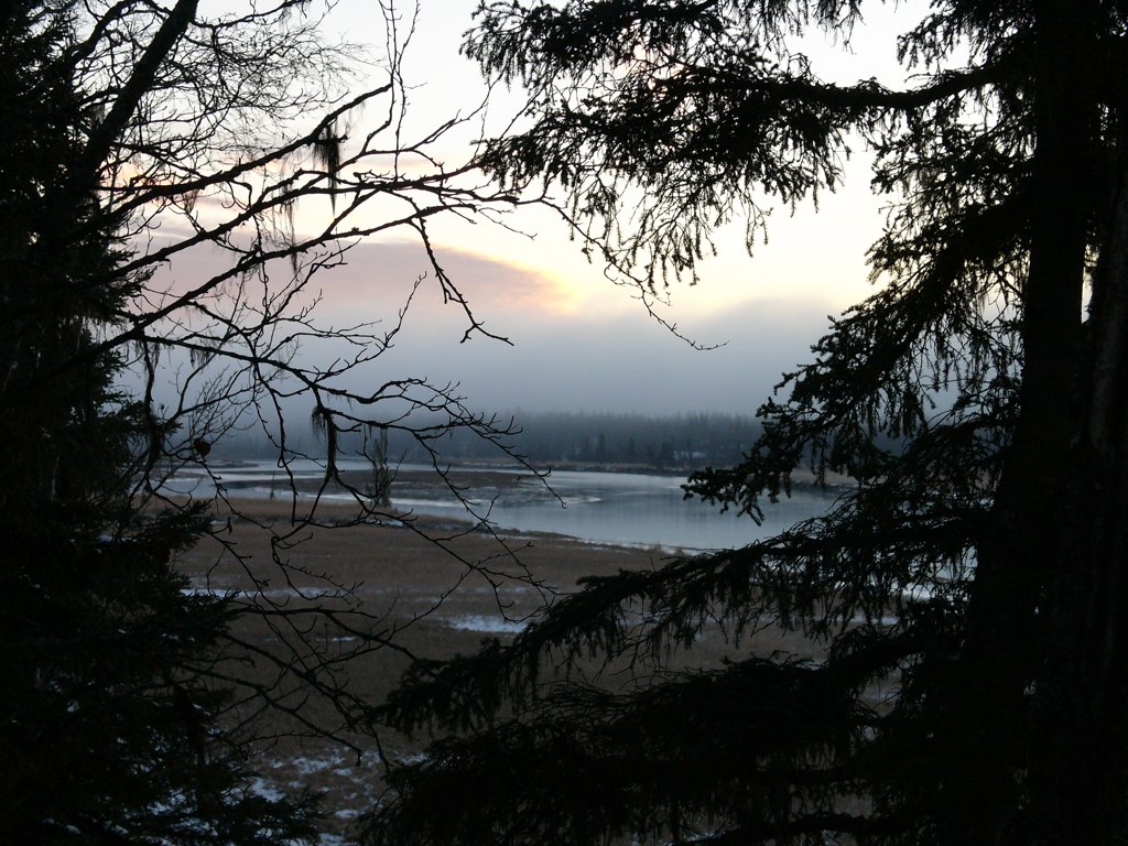
Forest at sunset
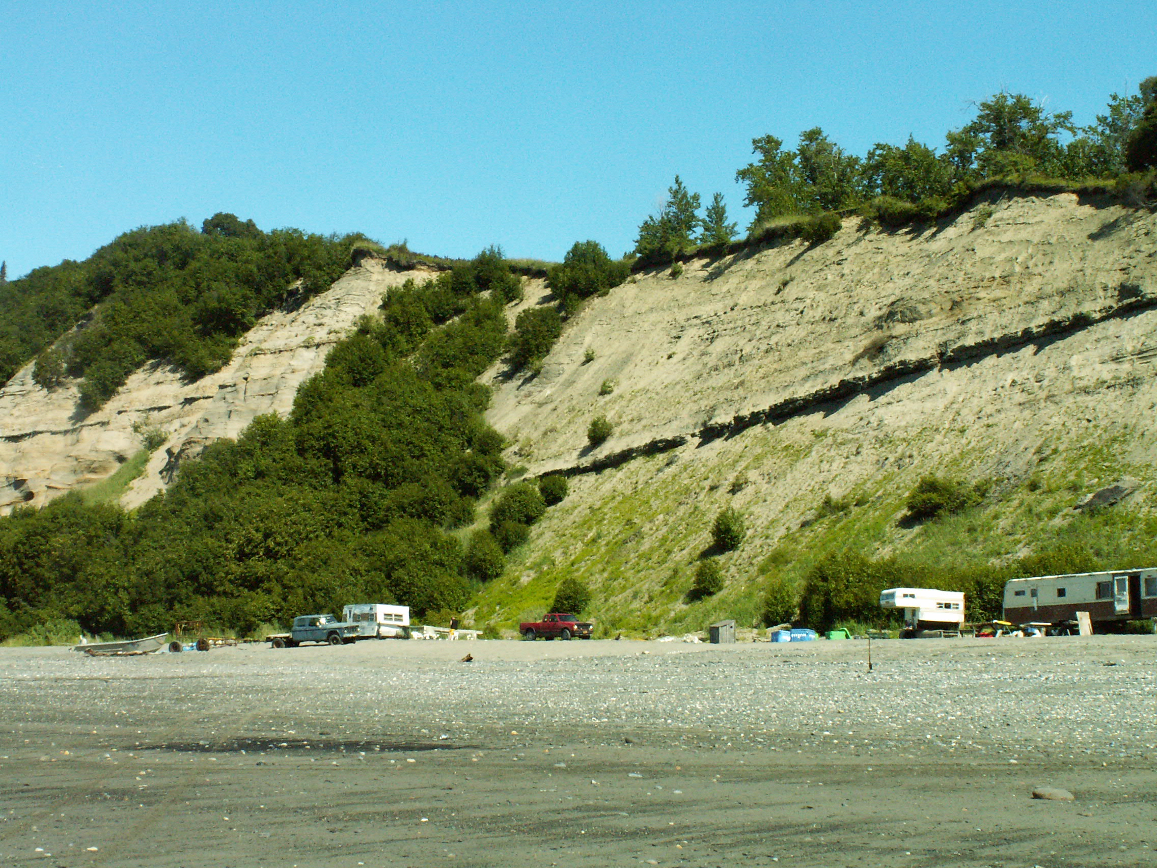
somewhere in Clam Gulch

somewhere in Clam Gulch
Alaska2006-07-02 13-06-26_
Alaska2006-07-02 13-15-01_

Alaska2006-07-02 13-05-09_
somewhere in Clam Gulch

Crooked Creek
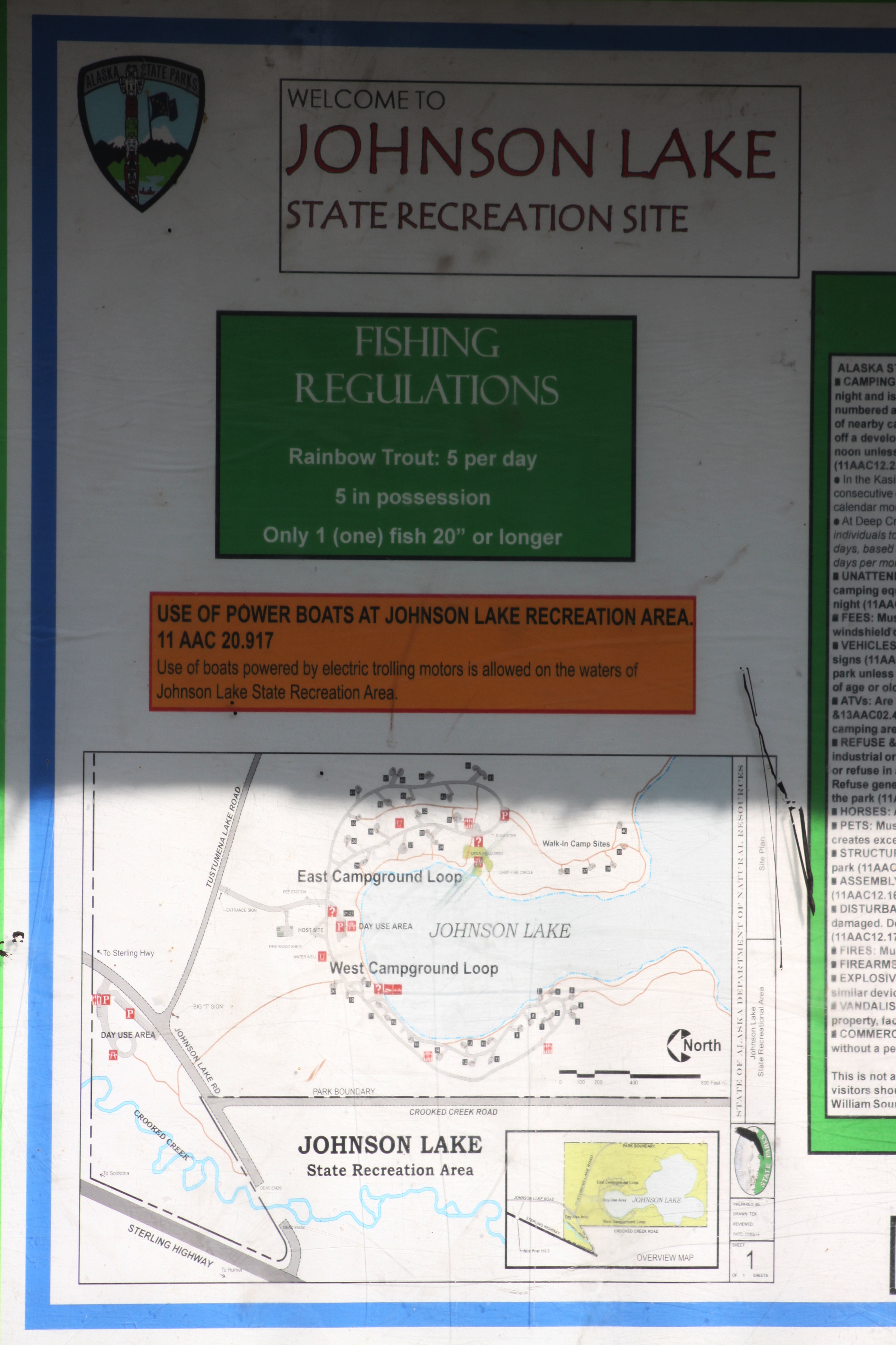
Johnson Lake State Recreation Site
DSC_1100-2
DSC_1100-1
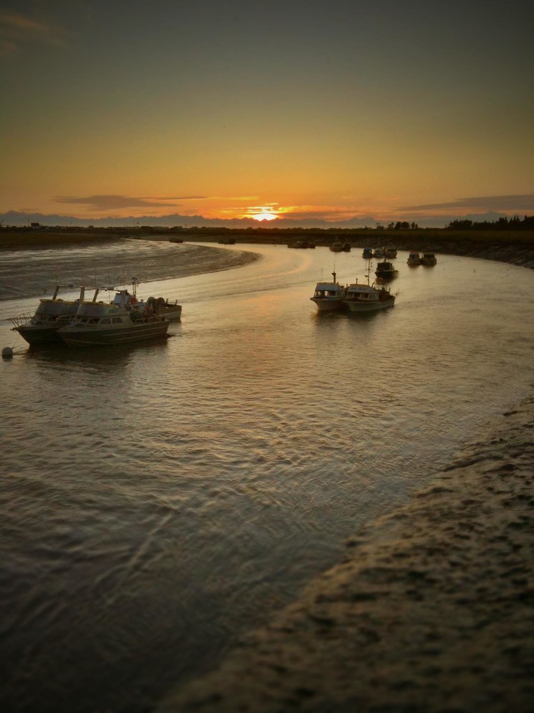
Kasilof river: Where we moor our boat.
Topographic Map of Ness Rd, Kasilof, AK, USA
Find elevation by address:

Places near Ness Rd, Kasilof, AK, USA:
Cohoe
27207 St Elias Ave
Old Kasilof Road
Fox Farmers Road
Sockeye Circle
Kalifornsky
55000 Diana Ave
Scenic Breezes Ct, Kasilof, AK, USA
19636 Linda Ln
Sterling Hwy, Clam Gulch, AK, USA
Clam Gulch
Echo Lake Rd & Buck Ave
31360 Echo Lake Rd
Echo Lake Feed
31334 Echo Lake Rd
47420 Snowshoe Way
46677 Marie Ct
57482 Wise Owl Ave
Kenai Peninsula Borough
Ninilchik
Recent Searches:
- Elevation of 15th Ave SE, St. Petersburg, FL, USA
- Elevation of Beall Road, Beall Rd, Florida, USA
- Elevation of Leguwa, Nepal
- Elevation of County Rd, Enterprise, AL, USA
- Elevation of Kolchuginsky District, Vladimir Oblast, Russia
- Elevation of Shustino, Vladimir Oblast, Russia
- Elevation of Lampiasi St, Sarasota, FL, USA
- Elevation of Elwyn Dr, Roanoke Rapids, NC, USA
- Elevation of Congressional Dr, Stevensville, MD, USA
- Elevation of Bellview Rd, McLean, VA, USA