Elevation of Nell Ave, Donalsonville, GA, USA
Location: United States > Georgia > Seminole County > Donalsonville >
Longitude: -84.867036
Latitude: 31.0544113
Elevation: 54m / 177feet
Barometric Pressure: 101KPa
Elevation Map:
Satellite Map:
Related Photos:

Vermilion Flycatcher. Miller County, 21 December 2014. Photo by Mark McShane

Vermilion Flycatcher. Miller County, 21 December 2014. Photo by Mark McShane
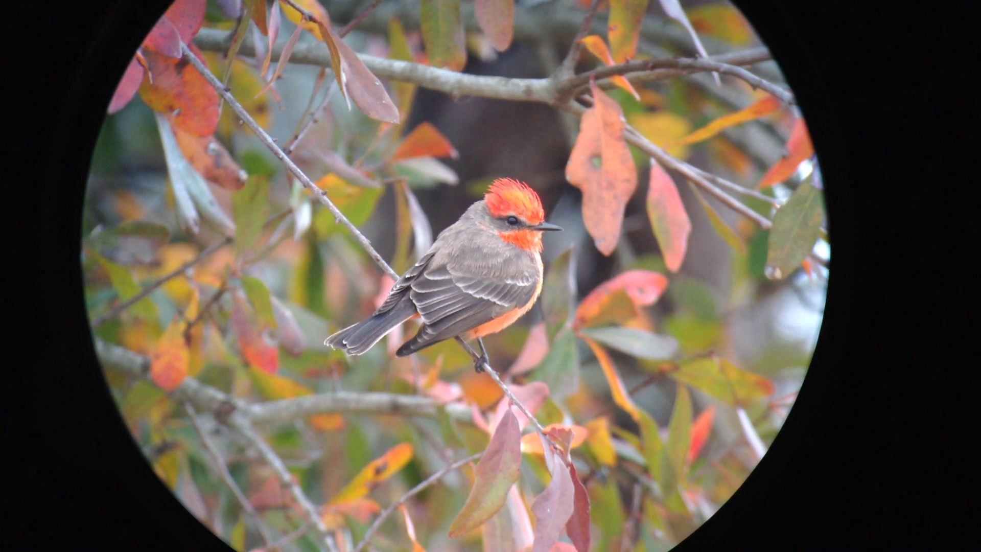
Vermilion Flycatcher. Miller County, 21 December 2014. Photo by Mark McShane
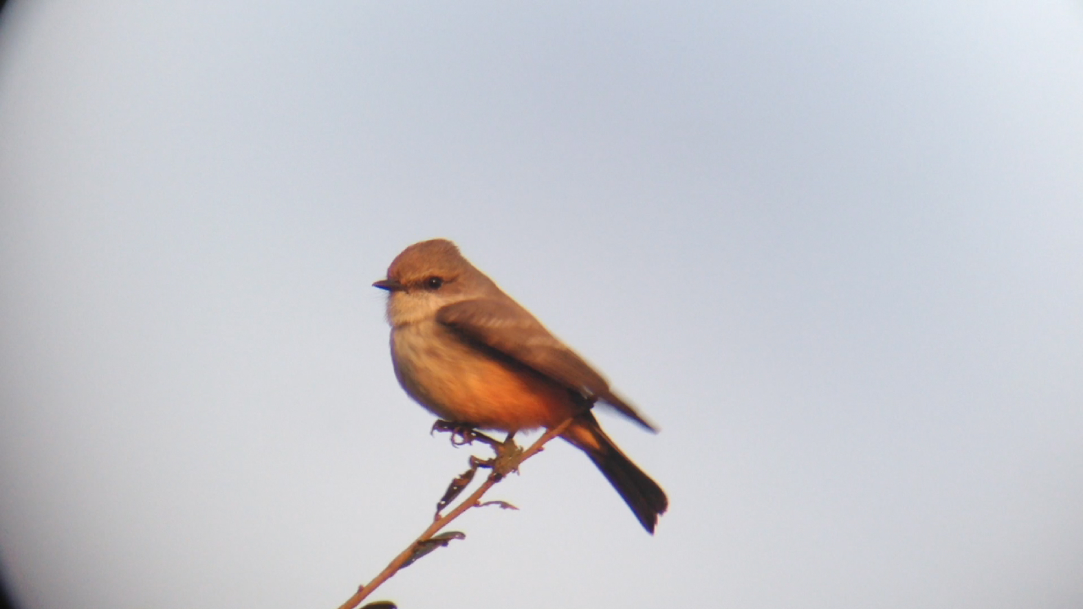
Vermilion Flycatcher. Miller County, 10 January 2015. Photo by Mark McShane

Vermilion Flycatcher

Vermilion Flycatcher
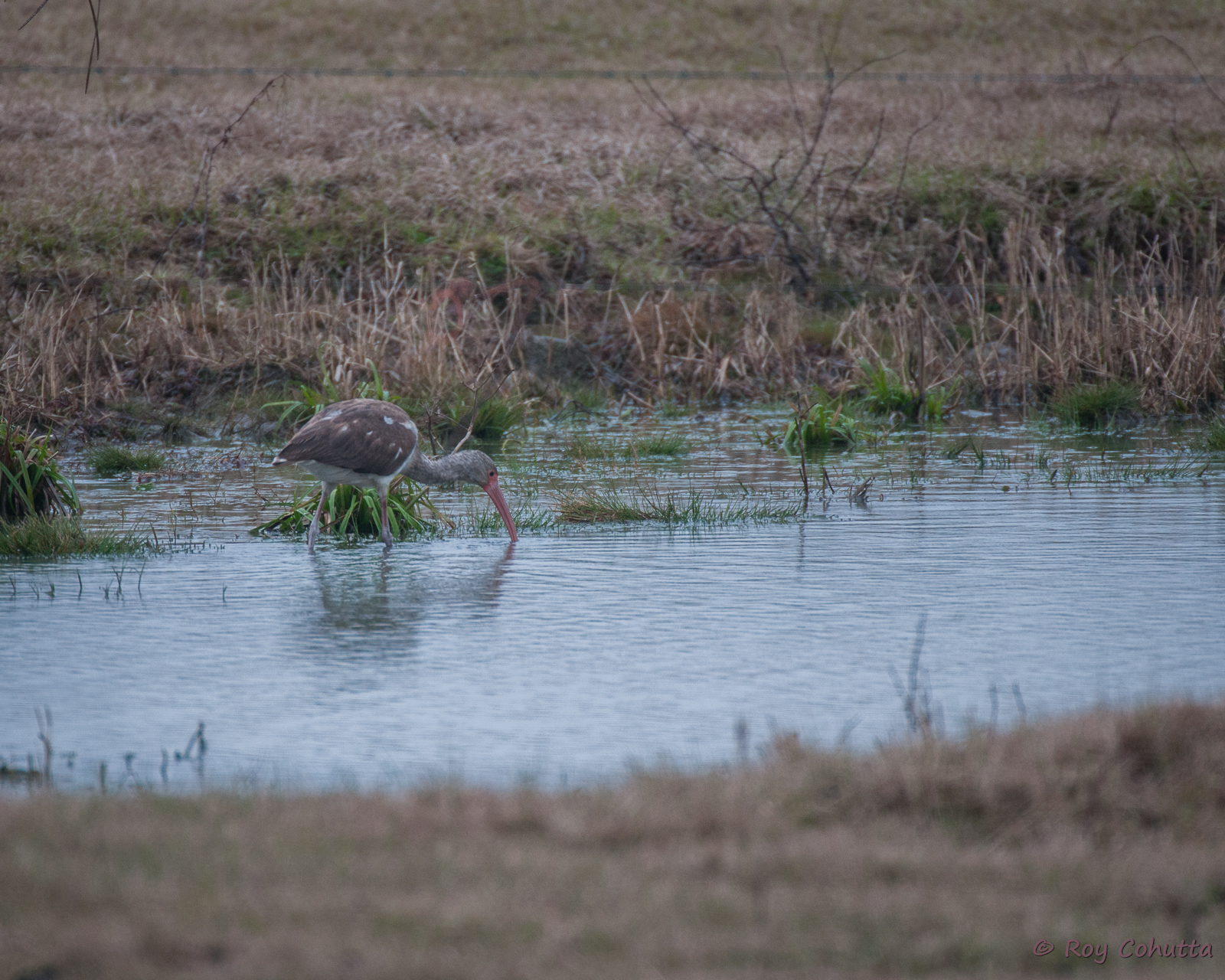
White Ibis
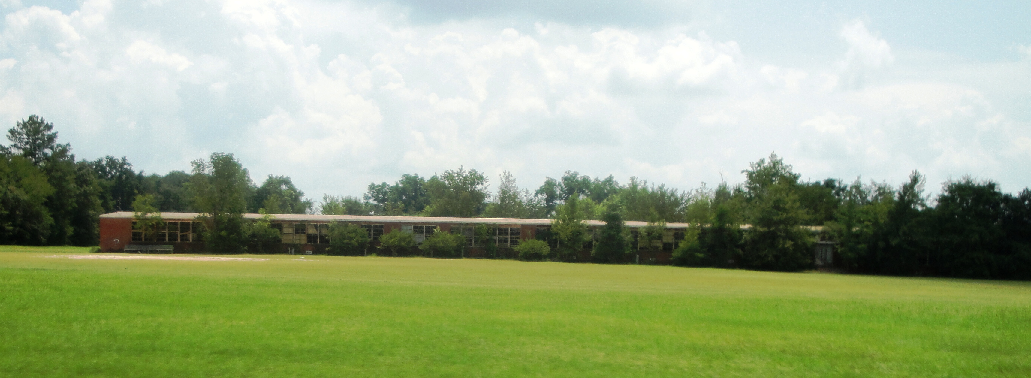
Seminole County Training (Donalsonville)
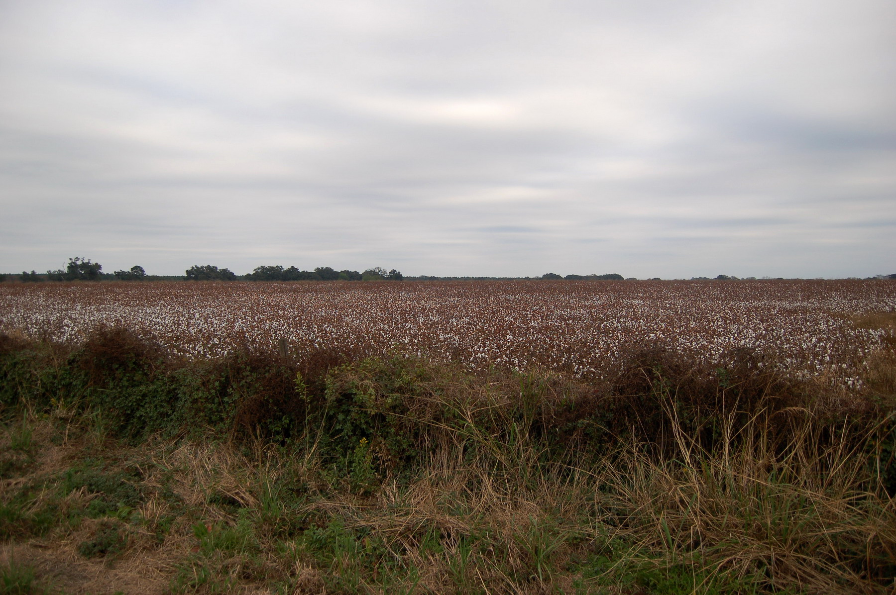
Cotton field
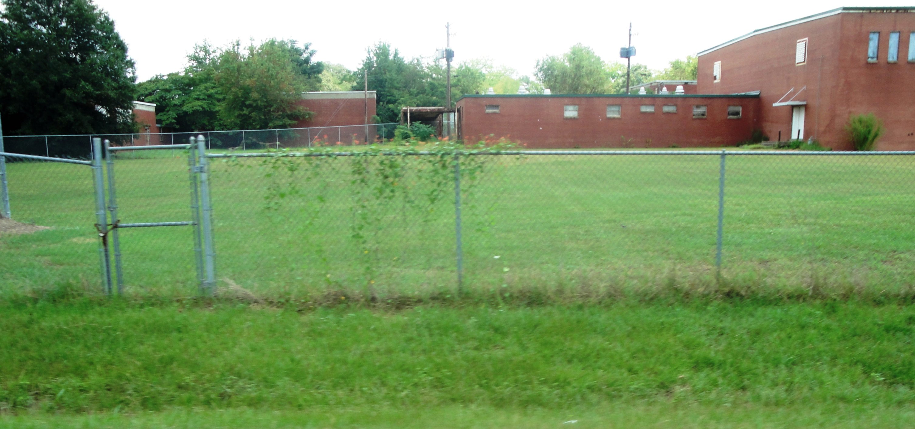
Seminole County Training (Donalsonville)
Topographic Map of Nell Ave, Donalsonville, GA, USA
Find elevation by address:

Places near Nell Ave, Donalsonville, GA, USA:
Donalsonville
6104 Hebrew Rd
Brinson
FL-2, Bascom, FL, USA
4124 Bethel Rd
6796 Biscayne Rd
AL-95, Gordon, AL, USA
Colquitt
Horneville Ln, Bascom, FL, USA
Miller County
510 Greenhouse Rd
75 Clover St
Willoughby Rd, Gordon, AL, USA
Cuba Road
Gordon
Colquitt Hwy, Bainbridge, GA, USA
Phillipsburg Rd, Colquitt, GA, USA
Chattahoochee River
Brumby Ave, Damascus, GA, USA
Damascus
Recent Searches:
- Elevation of Congressional Dr, Stevensville, MD, USA
- Elevation of Bellview Rd, McLean, VA, USA
- Elevation of Stage Island Rd, Chatham, MA, USA
- Elevation of Shibuya Scramble Crossing, 21 Udagawacho, Shibuya City, Tokyo -, Japan
- Elevation of Jadagoniai, Kaunas District Municipality, Lithuania
- Elevation of Pagonija rock, Kranto 7-oji g. 8"N, Kaunas, Lithuania
- Elevation of Co Rd 87, Jamestown, CO, USA
- Elevation of Tenjo, Cundinamarca, Colombia
- Elevation of Côte-des-Neiges, Montreal, QC H4A 3J6, Canada
- Elevation of Bobcat Dr, Helena, MT, USA