Elevation of Donalsonville, GA, USA
Location: United States > Georgia > Seminole County >
Longitude: -84.879091
Latitude: 31.0404625
Elevation: 46m / 151feet
Barometric Pressure: 101KPa
Elevation Map:
Satellite Map:
Related Photos:
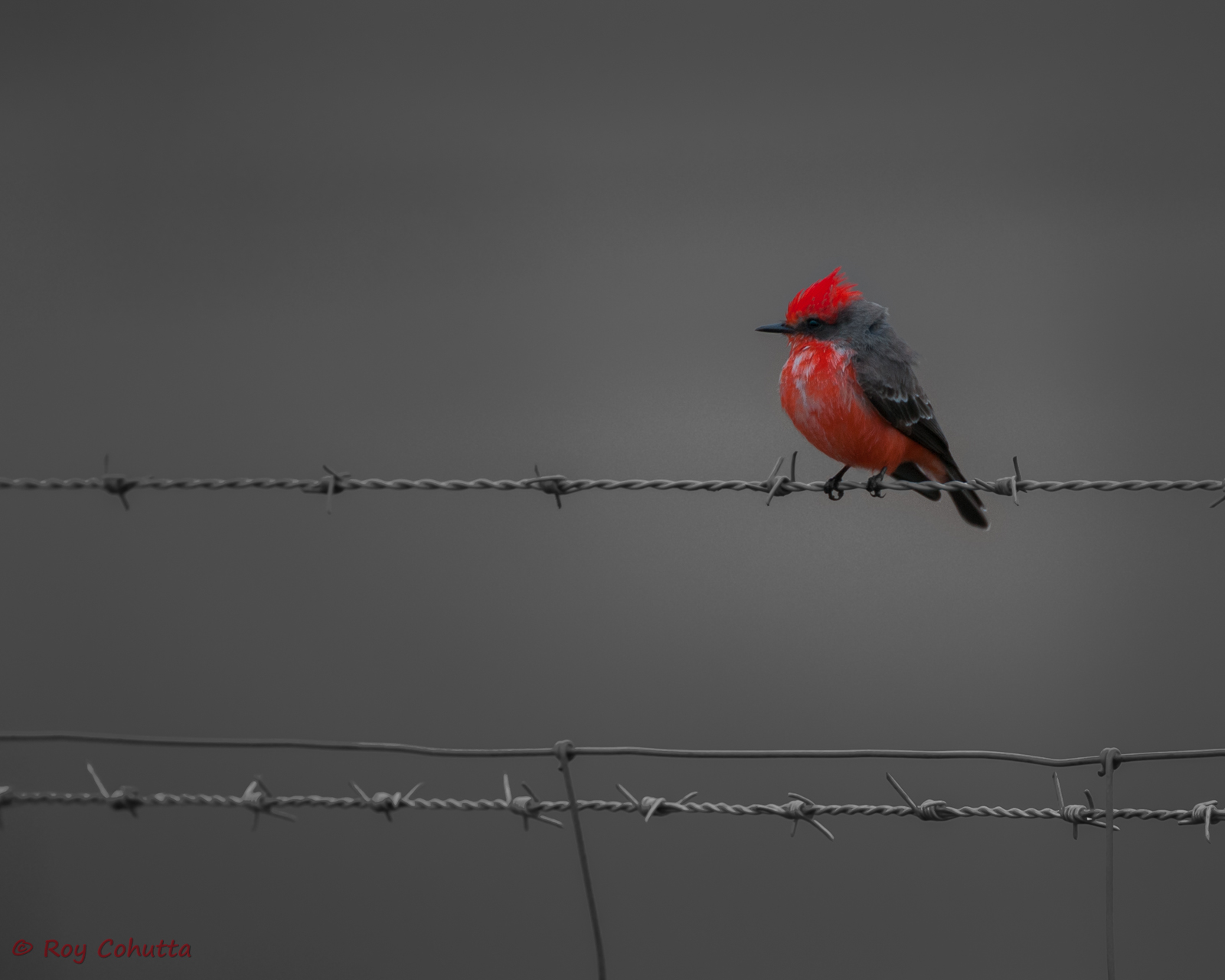
Vermilion Flycatcher

Vermilion Flycatcher
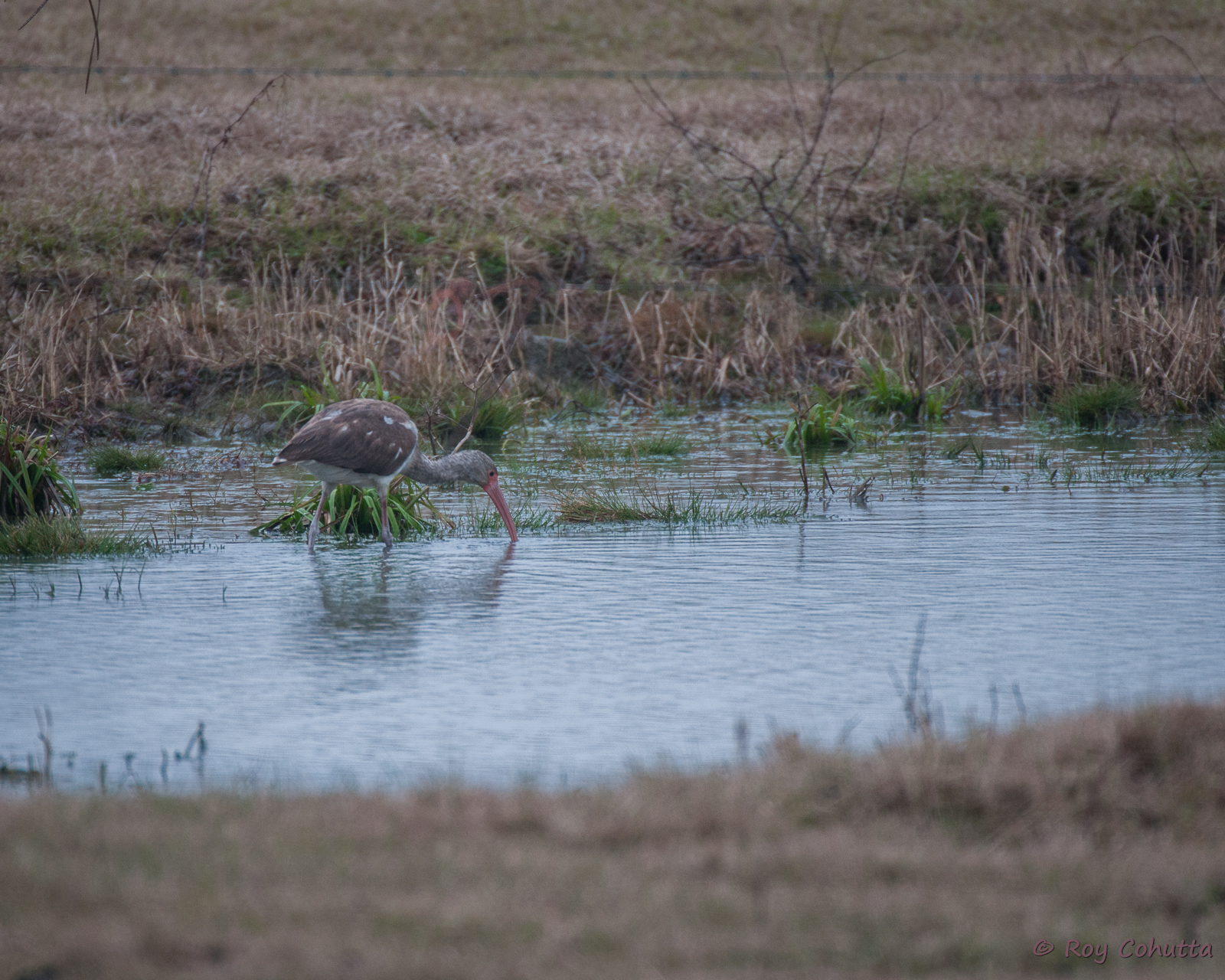
White Ibis

Vermilion Flycatcher. Miller County, 21 December 2014. Photo by Mark McShane
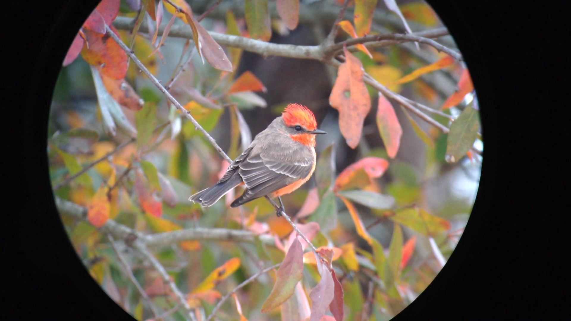
Vermilion Flycatcher. Miller County, 21 December 2014. Photo by Mark McShane

Vermilion Flycatcher. Miller County, 21 December 2014. Photo by Mark McShane
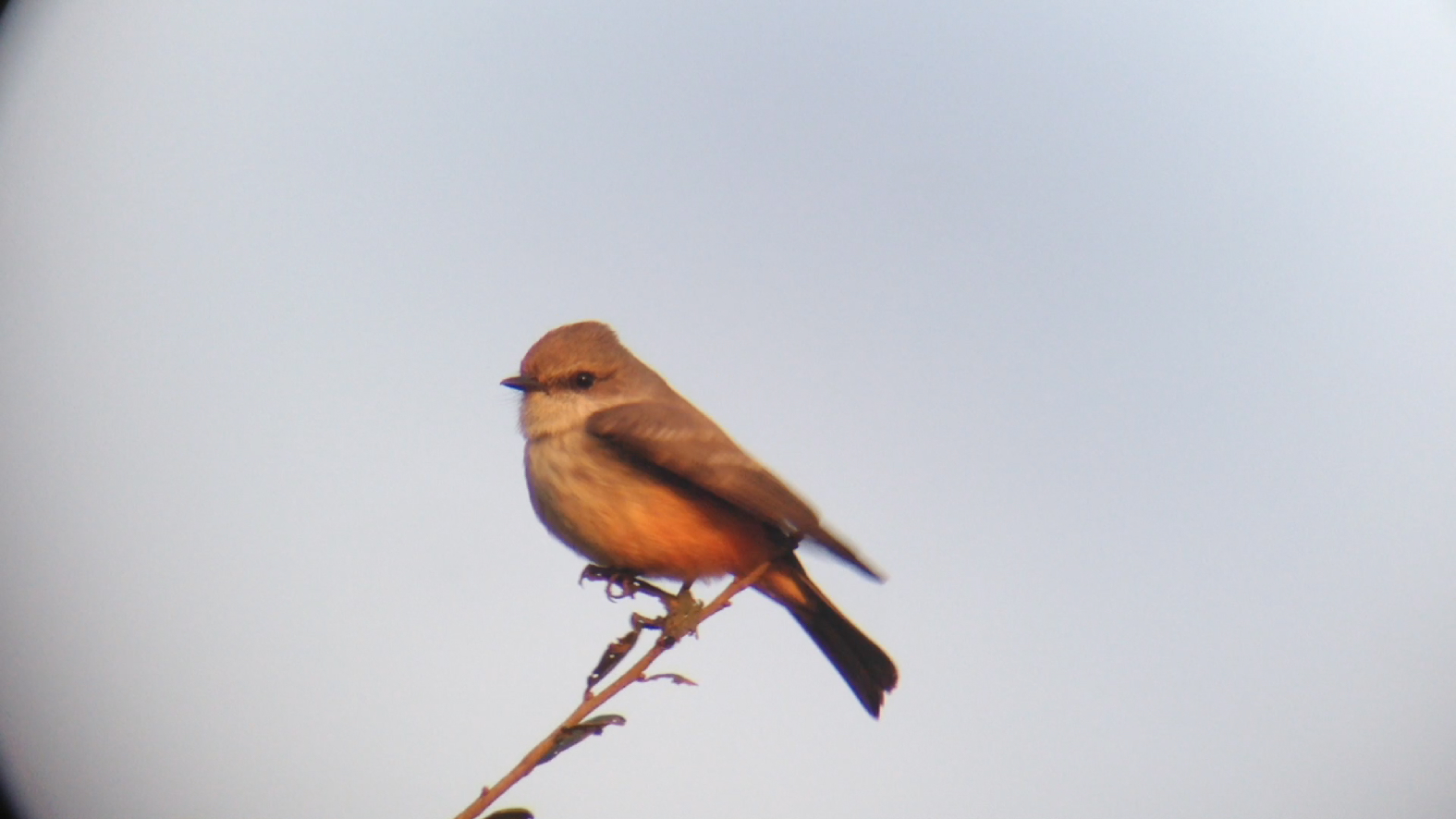
Vermilion Flycatcher. Miller County, 10 January 2015. Photo by Mark McShane
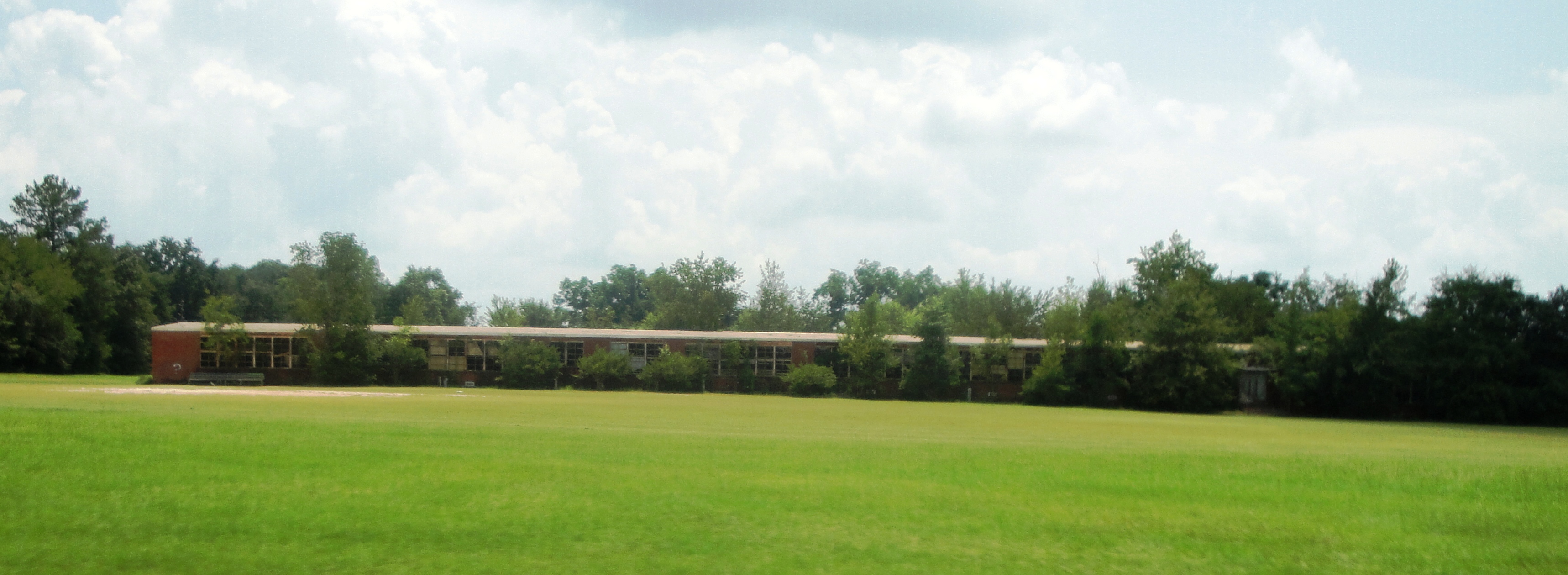
Seminole County Training (Donalsonville)
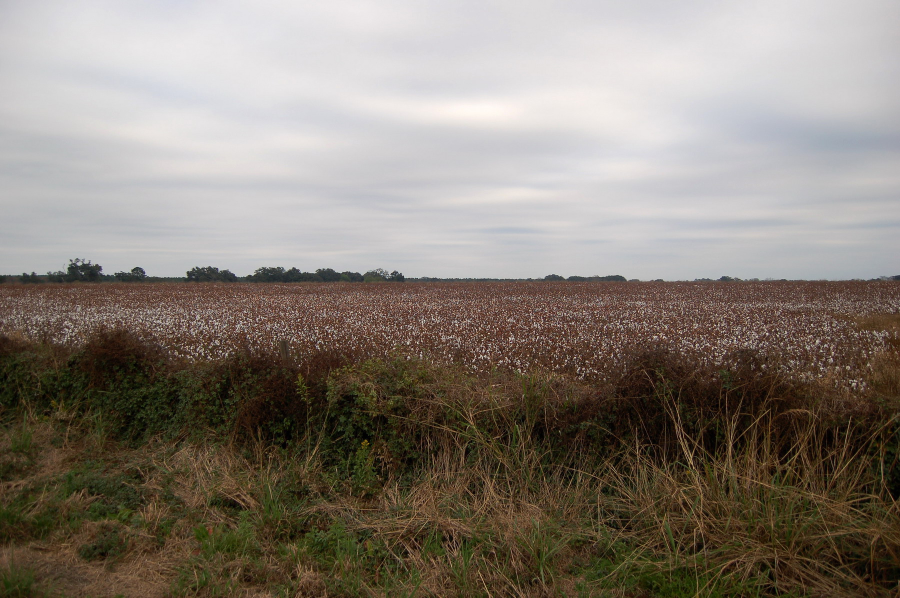
Cotton field
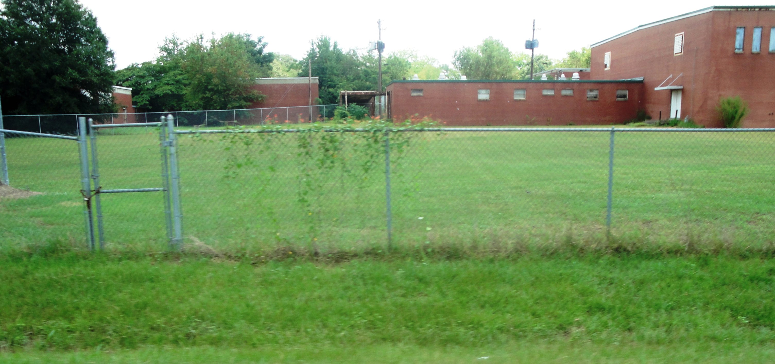
Seminole County Training (Donalsonville)
Topographic Map of Donalsonville, GA, USA
Find elevation by address:

Places in Donalsonville, GA, USA:
Places near Donalsonville, GA, USA:
Nell Ave, Donalsonville, GA, USA
6104 Hebrew Rd
FL-2, Bascom, FL, USA
Brinson
6796 Biscayne Rd
Horneville Ln, Bascom, FL, USA
AL-95, Gordon, AL, USA
4124 Bethel Rd
510 Greenhouse Rd
Colquitt
75 Clover St
Willoughby Rd, Gordon, AL, USA
Miller County
Gordon
Cuba Road
Colquitt Hwy, Bainbridge, GA, USA
Chattahoochee River
Ardilla
Phillipsburg Rd, Colquitt, GA, USA
Malone
Recent Searches:
- Elevation of Côte-des-Neiges, Montreal, QC H4A 3J6, Canada
- Elevation of Bobcat Dr, Helena, MT, USA
- Elevation of Zu den Ihlowbergen, Althüttendorf, Germany
- Elevation of Badaber, Peshawar, Khyber Pakhtunkhwa, Pakistan
- Elevation of SE Heron Loop, Lincoln City, OR, USA
- Elevation of Slanický ostrov, 01 Námestovo, Slovakia
- Elevation of Spaceport America, Co Rd A, Truth or Consequences, NM, USA
- Elevation of Warwick, RI, USA
- Elevation of Fern Rd, Whitmore, CA, USA
- Elevation of 62 Abbey St, Marshfield, MA, USA