Elevation of Negro Mountain, Butte, MT, USA
Location: United States > Montana > Silver Bow County > Butte > Divide >
Longitude: -112.60946
Latitude: 45.7299262
Elevation: 2500m / 8202feet
Barometric Pressure: 75KPa
Elevation Map:
Satellite Map:
Related Photos:
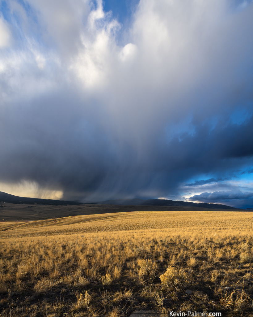
Snow Squall
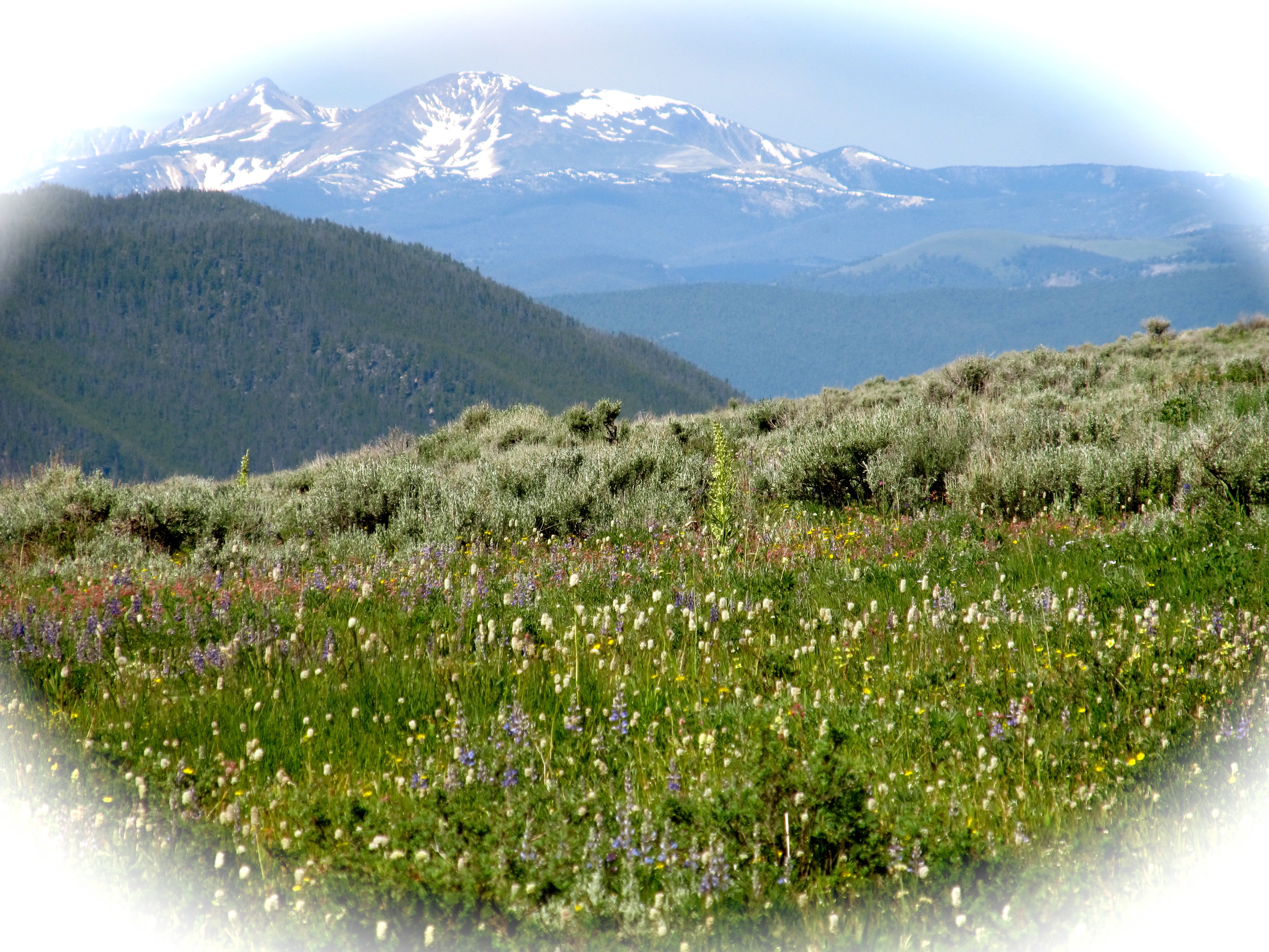
Pioneer Mountains. Montana

Rochester-6530
Topographic Map of Negro Mountain, Butte, MT, USA
Find elevation by address:

Places near Negro Mountain, Butte, MT, USA:
Mount Humbug
Melrose
Divide
Butte-silver Bow, Mount
Silver Bow County
170 Charcoal Gulch Rd
30 E Badger Ln
Timber Butte
76 Prairie Dr
3223 S Main St
3150 S Utah Ave
Glen
208 Bavaria St
208 Bavaria St
208 Bavaria St
207 Bavaria St
1900 S Jackson St
Northwestern Energy
119150 Lone Pine Gulch Rd
1100 A St
Recent Searches:
- Elevation of Corso Fratelli Cairoli, 35, Macerata MC, Italy
- Elevation of Tallevast Rd, Sarasota, FL, USA
- Elevation of 4th St E, Sonoma, CA, USA
- Elevation of Black Hollow Rd, Pennsdale, PA, USA
- Elevation of Oakland Ave, Williamsport, PA, USA
- Elevation of Pedrógão Grande, Portugal
- Elevation of Klee Dr, Martinsburg, WV, USA
- Elevation of Via Roma, Pieranica CR, Italy
- Elevation of Tavkvetili Mountain, Georgia
- Elevation of Hartfords Bluff Cir, Mt Pleasant, SC, USA