Elevation of Melrose, Butte, MT, USA
Location: United States > Montana > Silver Bow County > Butte >
Longitude: -112.68468
Latitude: 45.631457
Elevation: 1581m / 5187feet
Barometric Pressure: 84KPa
Elevation Map:
Satellite Map:
Related Photos:

Canyon Creek Charcoal Kilns

Divide, Montana 59727

Melrose, Montana 59743

Melrose, Montana 59743

Maiden Rock on the Big Hole

Montana mountains

Canyon Creek Charcoal Kilns

Big Hole River

Heading Up the Trail

.

Lower Spires

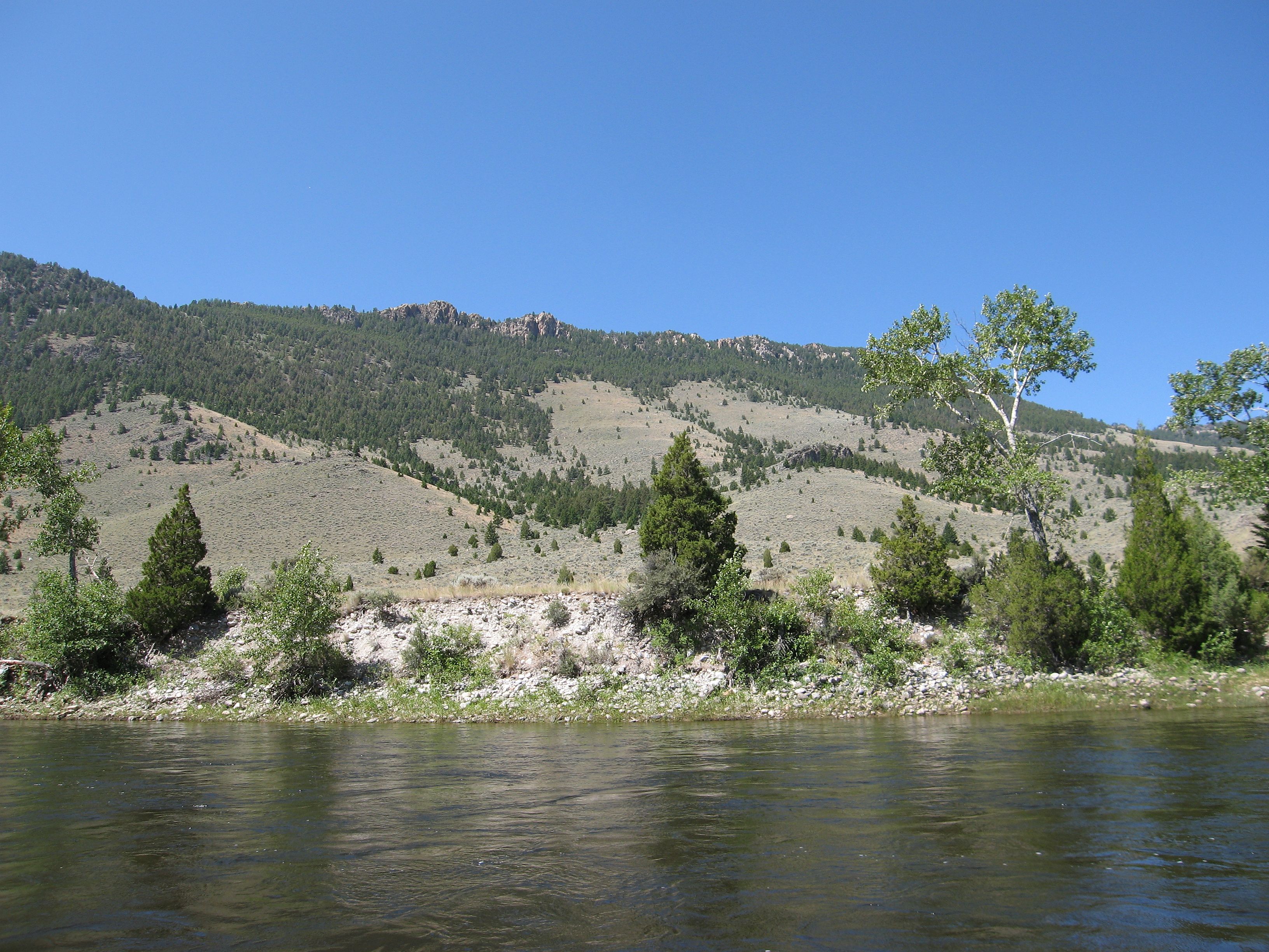
Big Hole River

BIG HOLE RIVER MT
Cliffs above the Big Hole River

Cliffs above the Big Hole River

Train coming through

Getting ready to put in at Maiden Rock Boat Ramp

Goat Mountain

the great Divide

Mine on hillside

Gertie the retriever

WP_20150122_003.jpg
Topographic Map of Melrose, Butte, MT, USA
Find elevation by address:

Places near Melrose, Butte, MT, USA:
Negro Mountain
Glen
170 Charcoal Gulch Rd
Morrison Hill
Mount Humbug
Storm Peak
Divide
Twin Adams Mountain East
Twin Adams Mountain West
Call Mountain
Greenstone Mountain
Sheriff Mountain
Thunderhead Mountain
Limestone Mountain
Butte-silver Bow, Mount
Silver Bow County
Barbour Hill
Aspen Campground
2080 Jerry Creek Rd
Mount Tahepia
Recent Searches:
- Elevation of Royal Ontario Museum, Queens Park, Toronto, ON M5S 2C6, Canada
- Elevation of Groblershoop, South Africa
- Elevation of Power Generation Enterprises | Industrial Diesel Generators, Oak Ave, Canyon Country, CA, USA
- Elevation of Chesaw Rd, Oroville, WA, USA
- Elevation of N, Mt Pleasant, UT, USA
- Elevation of 6 Rue Jules Ferry, Beausoleil, France
- Elevation of Sattva Horizon, 4JC6+G9P, Vinayak Nagar, Kattigenahalli, Bengaluru, Karnataka, India
- Elevation of Great Brook Sports, Gold Star Hwy, Groton, CT, USA
- Elevation of 10 Mountain Laurels Dr, Nashua, NH, USA
- Elevation of 16 Gilboa Ln, Nashua, NH, USA