Elevation map of Nechako River, British Columbia, Canada
Location: Canada > British Columbia > Bulkley-nechako > Bulkley-nechako F > Vanderhoof >
Longitude: -123.71308
Latitude: 53.9278686
Elevation: 765m / 2510feet
Barometric Pressure: 92KPa
Elevation Map:
Satellite Map:
Related Photos:

Water Parsnip - Sium sauve
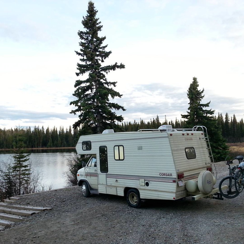
Sure love the recreational sites #hellobc has to offer. This #rvcanada trip #explorebc sure gets addictive. #gorving
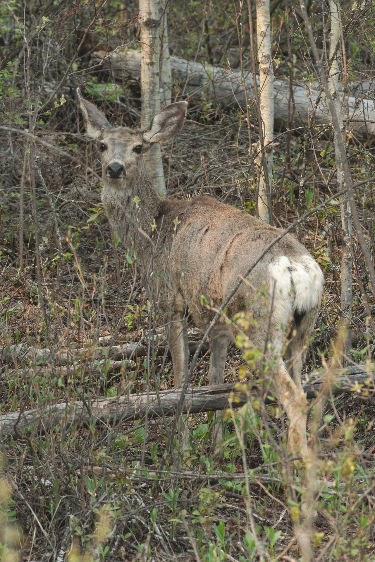
Mule deer - Odocoileus hemionus - adult female
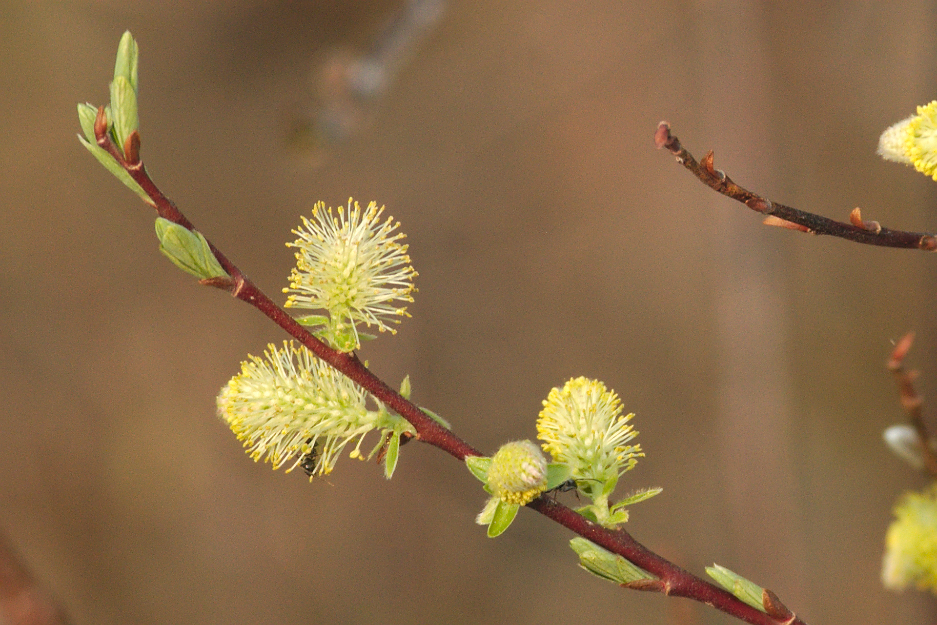
Bebb's Willow - Salix bebbiana - staminate catkins

American Pussy Willow - Salix discolor - pistillate catkin with maturing capsules

JACK -O
Bulkley-Nechako F-20110520-05277
Vanderhoof. 88888
Topographic Map of Nechako River, British Columbia, Canada
Find elevation by address:

Places near Nechako River, British Columbia, Canada:
Cluculz Lake
Ness Lake
Fraser-fort George A
Fraser-fort George C
Chief Lake
Chief Lake Rd, Prince George, BC V2K 5K8, Canada
Nukko Lake
13000 Marvin Rd
13000 Marvin Rd
11905 Ensilwood Rd
1790 Catherine Dr
8141 Otway Rd
361 Willmann Rd
361 Willmann Rd
Beaverly Elementary
Bench Drive
Forests For The World
5060 Avril Rd
Rosia Road
4723 Freimuller Ave
Recent Searches:
- Elevation of Paradisvegen, Biri, Norway
- Elevation of Crystal Cir, Birmingham, AL, USA
- Elevation of N Railroad Ave, West Palm Beach, FL, USA
- Elevation of 55 Cassick Valley Rd, Wellfleet, MA, USA
- Elevation of Ironwood Dr, Minden, NV, USA
- Elevation of 高尾山口駅, Takaomachi, Hachioji, Tokyo -, Japan
- Elevation of 15 Victory Ave, Greenville, SC, USA
- Elevation of Kota Ternate Utara, Ternate City, North Maluku, Indonesia
- Elevation of Allon St, Oceanside, NY, USA
- Elevation of Carroll Creek Rd, Custer, SD, USA