Elevation of Fraser-Fort George C, BC, Canada
Location: Canada > British Columbia > Fraser-fort George >
Longitude: -123.09235
Latitude: 53.6305323
Elevation: 929m / 3048feet
Barometric Pressure: 91KPa
Elevation Map:
Satellite Map:
Related Photos:
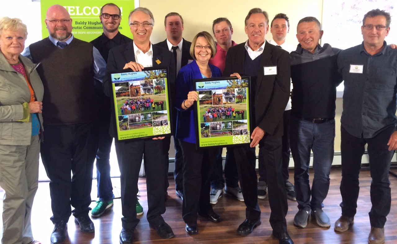
More support for men on road to recovery
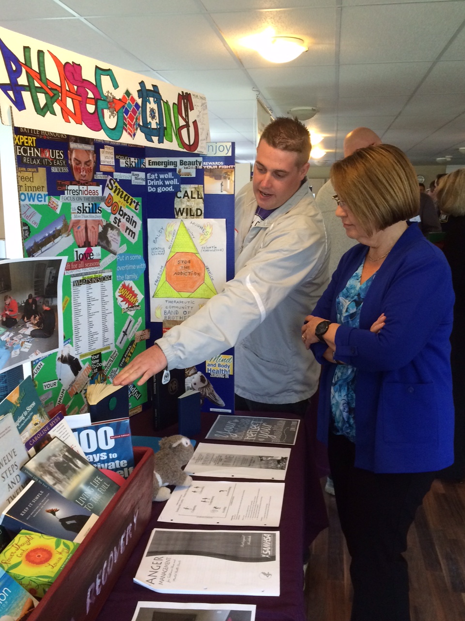
More support for men on road to recovery

More support for men on road to recovery
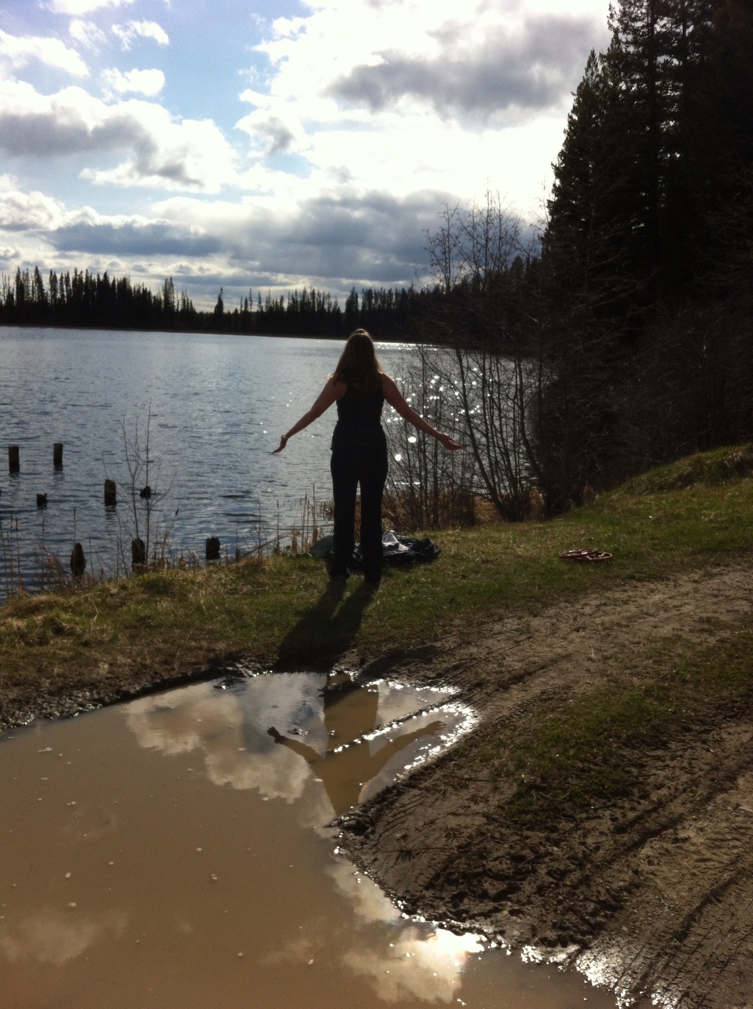
Soaking up the sun
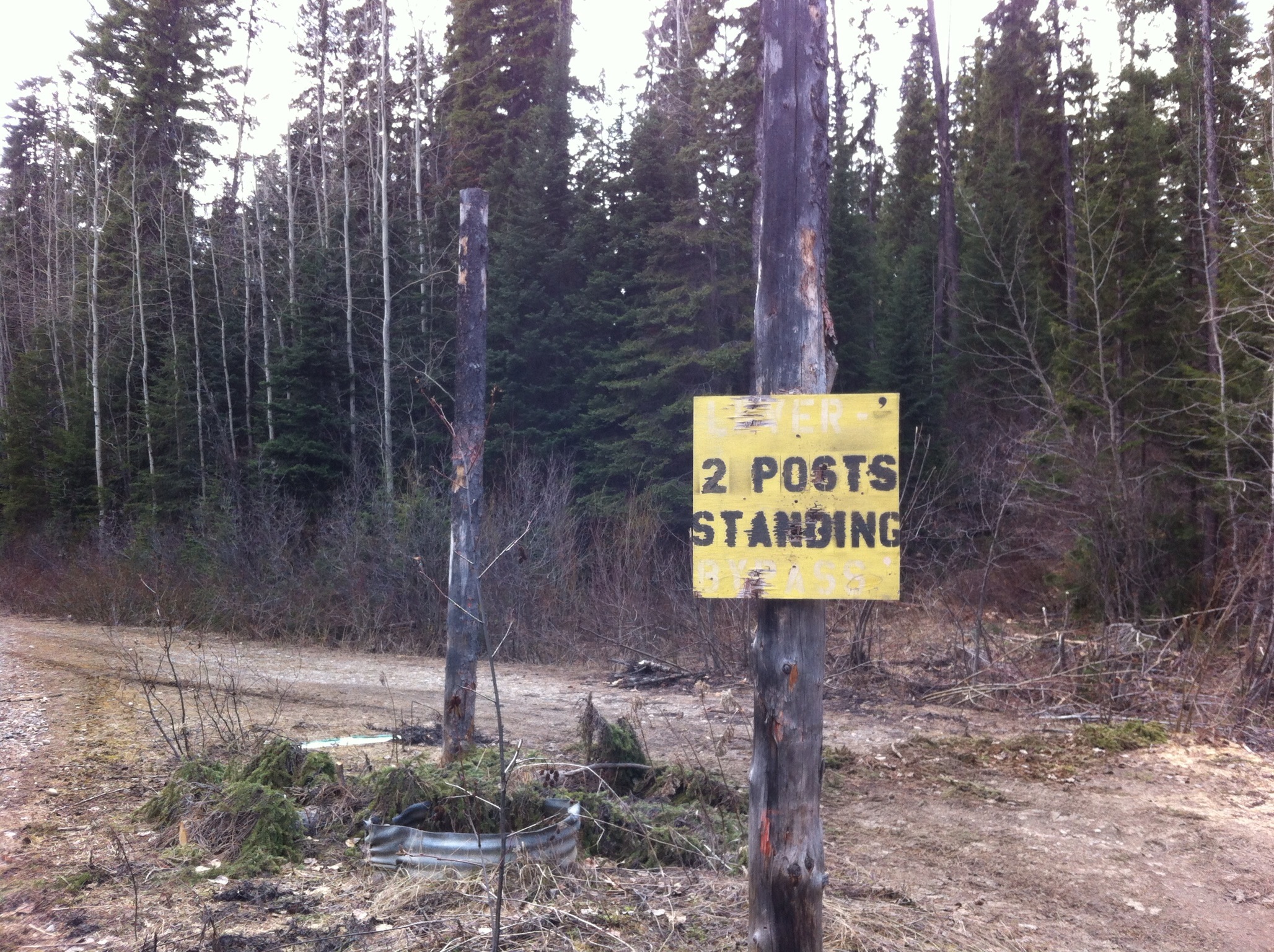
2 Posts Standing

Fishing the Blackwater
Topographic Map of Fraser-Fort George C, BC, Canada
Find elevation by address:

Places near Fraser-Fort George C, BC, Canada:
13000 Marvin Rd
13000 Marvin Rd
Beaverly Elementary
9515 Haldi Lake Rd
5094 Henrey Rd
361 Willmann Rd
361 Willmann Rd
7078 Eugene Rd
7072 Eugene Rd
Forests For The World
6954 Aldeen Rd
1790 Catherine Dr
V2n 5t8
6807 Westgate Ave
3333 University Way
University Of Northern British Columbia (unbc)
5060 Avril Rd
2979 Vista Ridge Dr
Fraser-fort George A
8141 Otway Rd
Recent Searches:
- Elevation of S Layton Cir W, Layton, UT, USA
- Elevation of F36W+3M, Mussoorie, Uttarakhand, India
- Elevation of Fairland Ave, Fairhope, AL, USA
- Elevation of Sunset Dr, Richmond, VA, USA
- Elevation of Grodna District, Hrodna Region, Belarus
- Elevation of Hrodna, Hrodna Region, Belarus
- Elevation of Sandia Derby Estates, Tijeras, NM, USA
- Elevation of 23 Sunrise View Ct, Tijeras, NM, USA
- Elevation of Lytham Ln, Katy, TX, USA
- Elevation of Tater Hill, Oklahoma, USA