Elevation of NB-, Moosehorn Creek, NB E5T 5B1, Canada
Location: Canada > New Brunswick > Kings County > Sussex >
Longitude: -65.630044
Latitude: 45.6013407
Elevation: 119m / 390feet
Barometric Pressure: 100KPa
Elevation Map:
Satellite Map:
Related Photos:

Frozen waterfall

Frozen waterfall.

"forever"

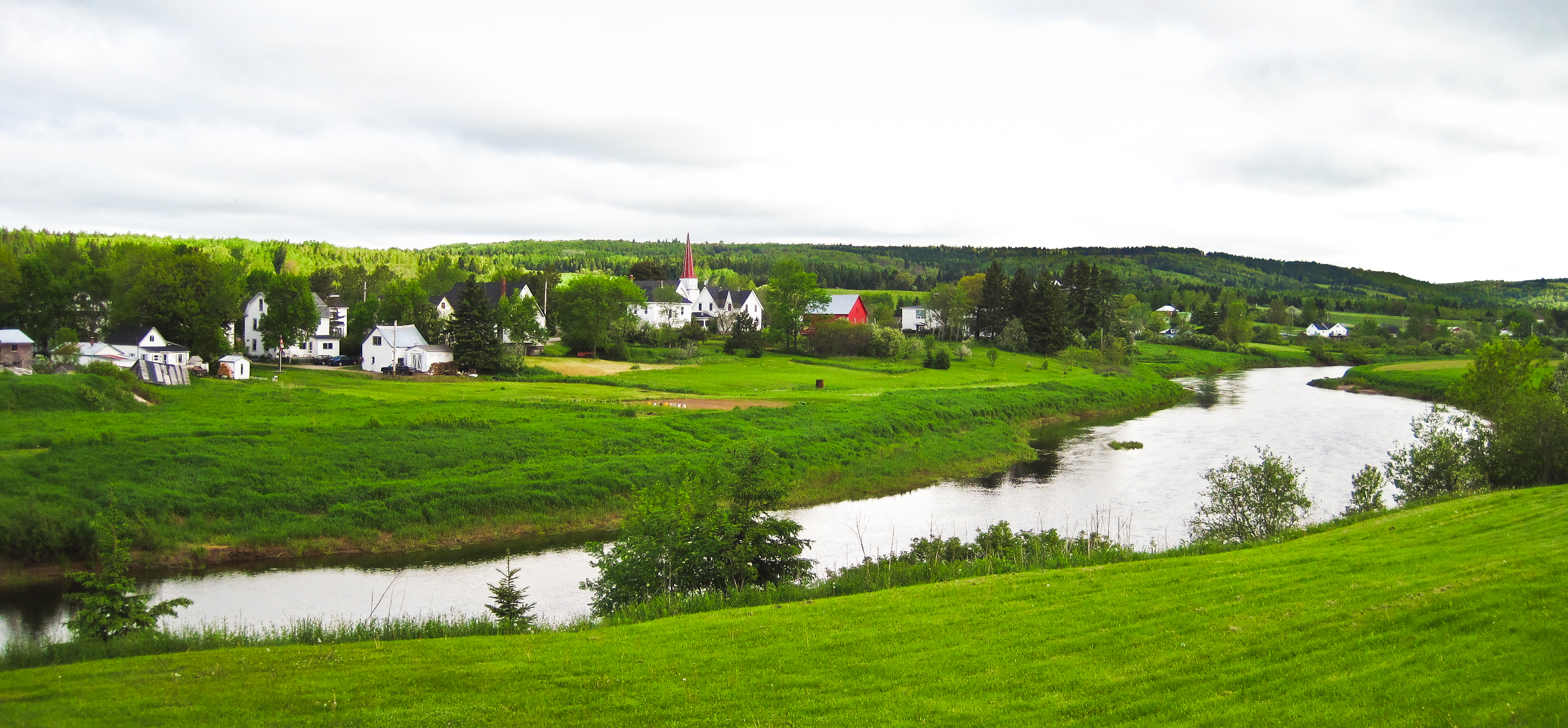
Bloomfield, New Brunswick
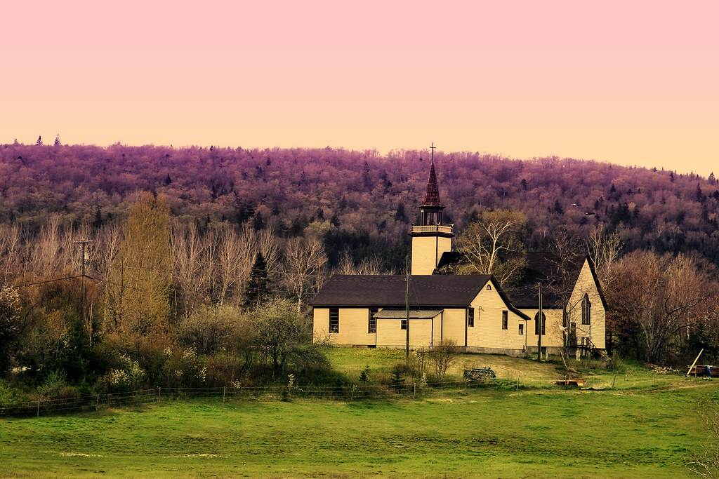
unknown church

Ant's Eye View
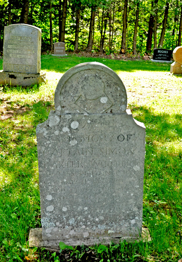
Big Rock Cemetery

Moosehorn Creek Covered Bridge

Moosehorn Creek Covered Bridge
Norton, New Brunswick
Along The Foggy Background

"the 1st wave"
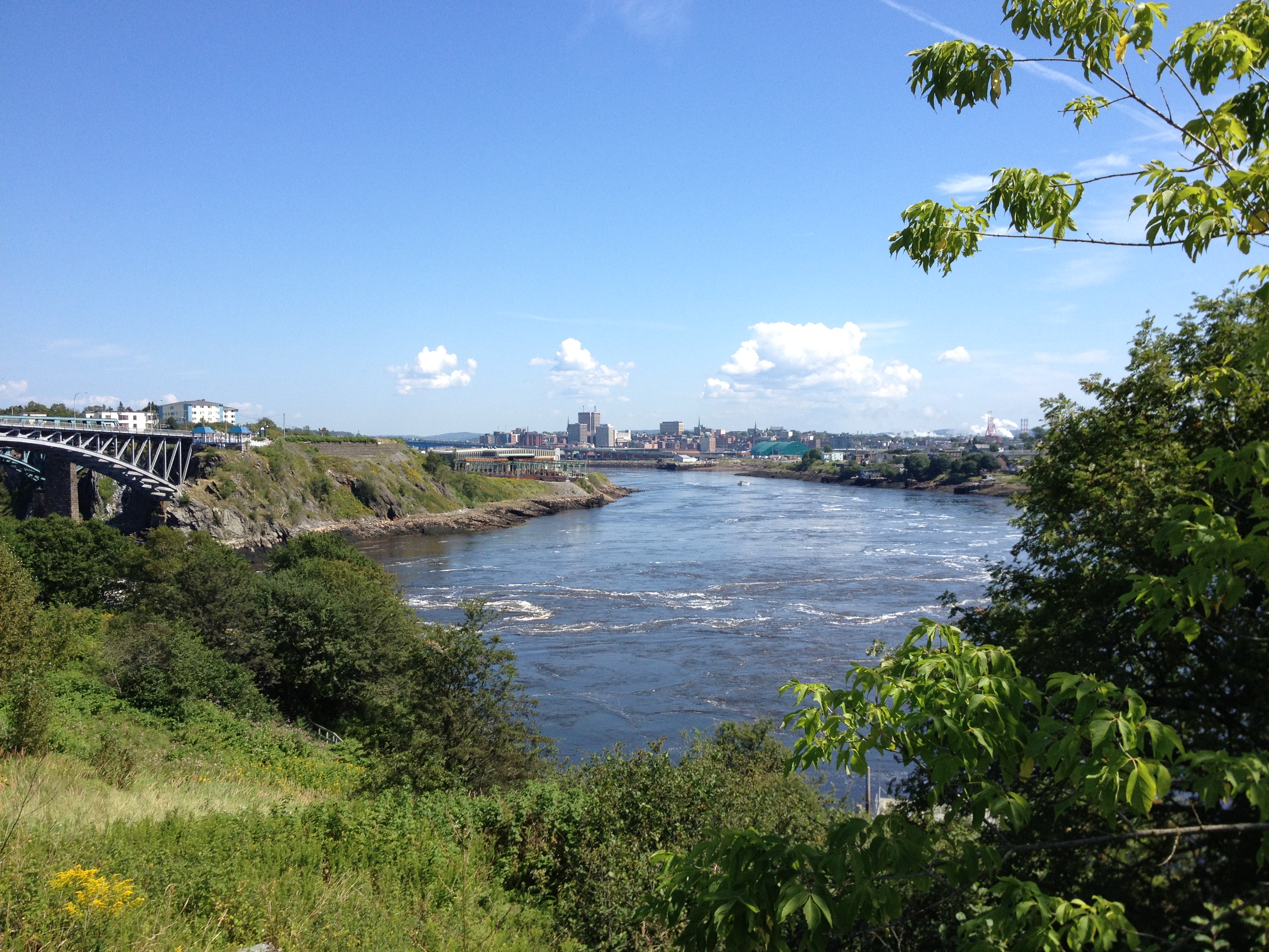
Saint John.
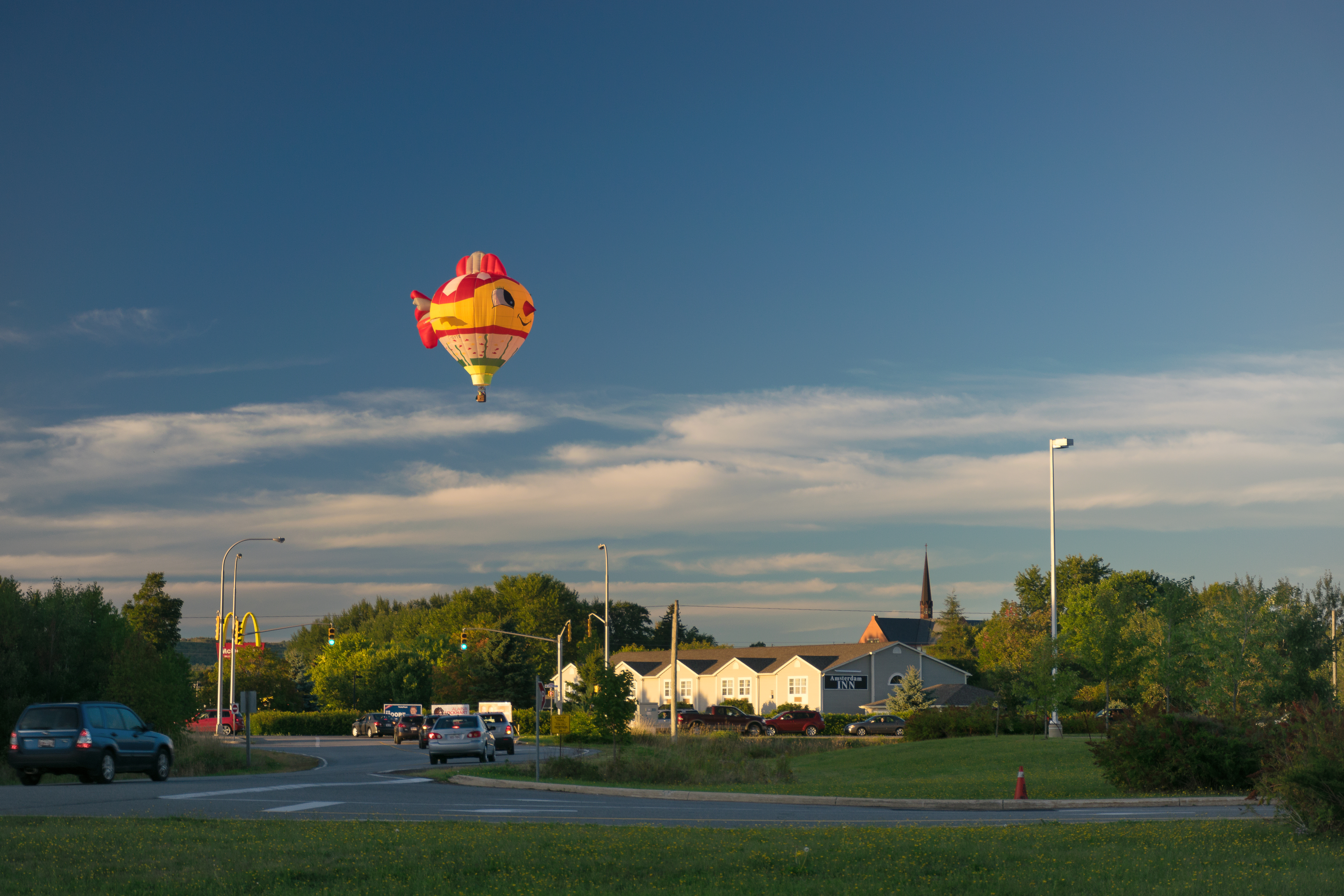
It's A Bird! No, It's A Balloon...
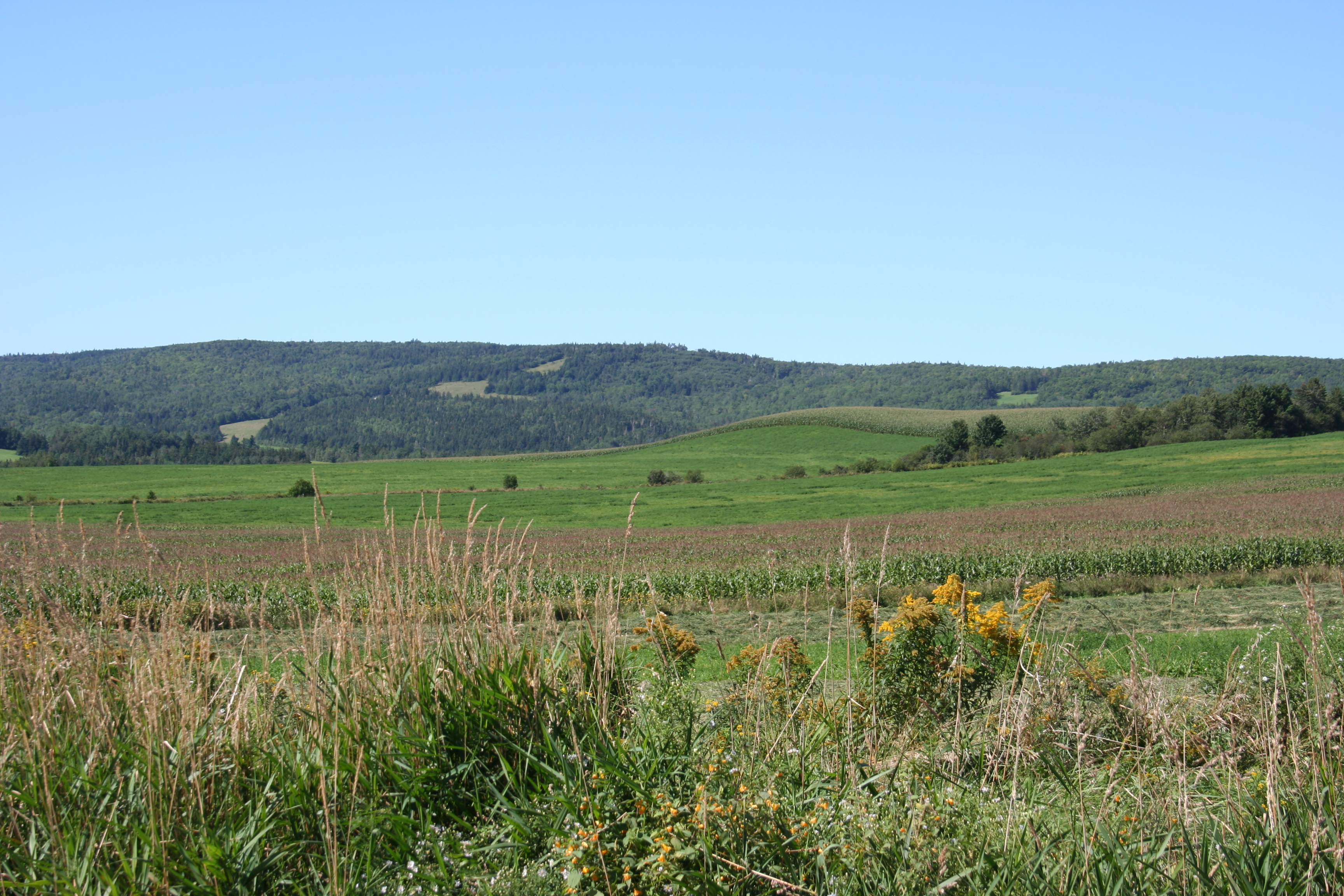
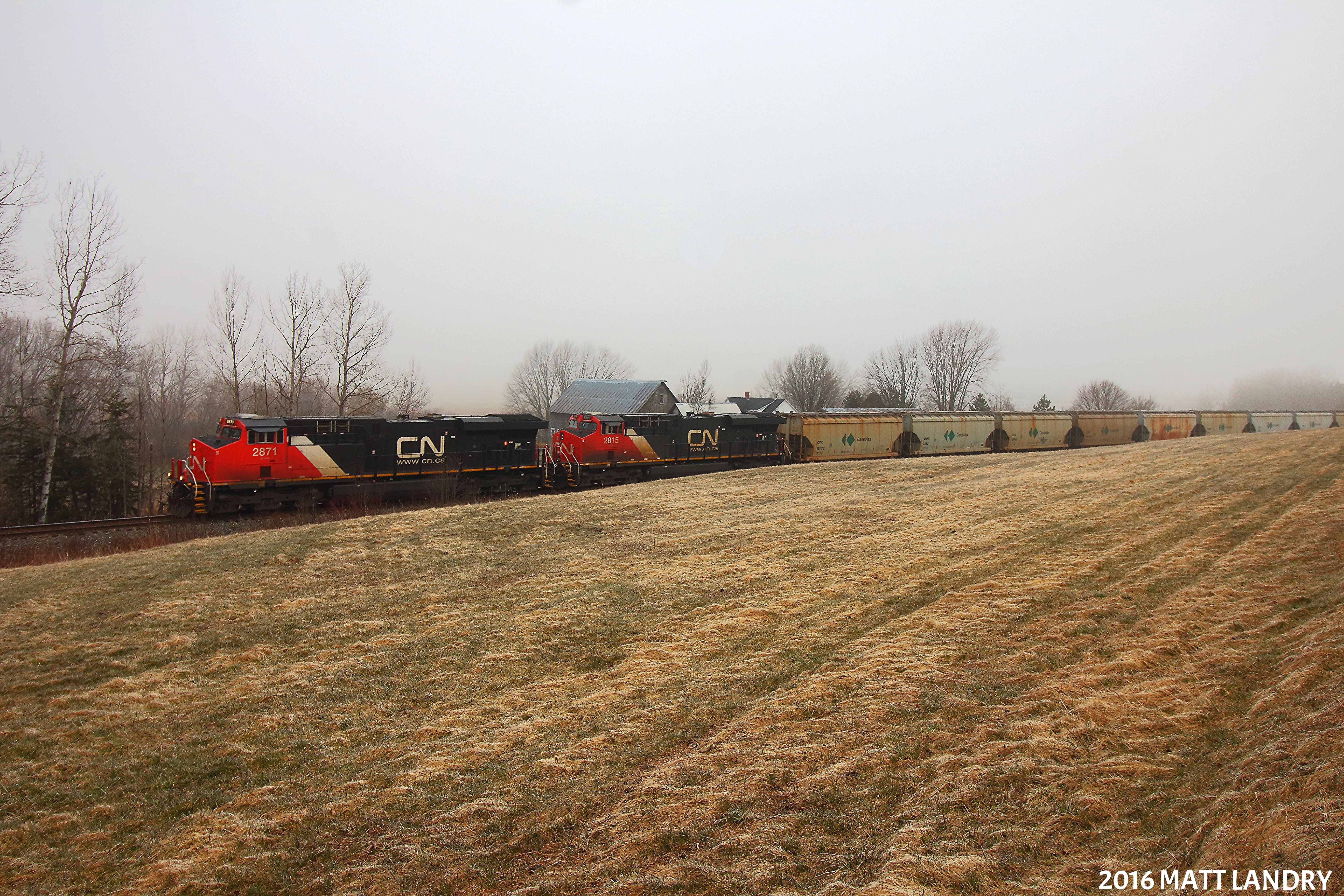
Along NB 111

House on the hill
Topographic Map of NB-, Moosehorn Creek, NB E5T 5B1, Canada
Find elevation by address:

Places near NB-, Moosehorn Creek, NB E5T 5B1, Canada:
New Brunswick 865
NB-, Cassidy Lake, NB E4E 5Y6, Canada
99 High Rd
Kings County
Lakefield Rd, Cassidy Lake, NB E4E 3M7, Canada
Bloomfield Ridge S Rd, Upham, NB E5N, Canada
Salt Springs
211 Lakefield Rd
Riverbank
2377 Nb-121
Norton
E4e 4a3
Sussex
3 Intercolonial St, Apohaqui, NB E5P 3P4, Canada
Apohaqui
NB-, Salt Springs, NB E5N 4E6, Canada
Mercer Settlement Rd, Norton, NB E5T 1V7, Canada
Parleeville Rd, Parleeville, NB E5P 3X8, Canada
274 Parleeville Rd
198 Marshall Hill Rd
Recent Searches:
- Elevation of 72-31 Metropolitan Ave, Middle Village, NY, USA
- Elevation of 76 Metropolitan Ave, Brooklyn, NY, USA
- Elevation of Alisal Rd, Solvang, CA, USA
- Elevation of Vista Blvd, Sparks, NV, USA
- Elevation of 15th Ave SE, St. Petersburg, FL, USA
- Elevation of Beall Road, Beall Rd, Florida, USA
- Elevation of Leguwa, Nepal
- Elevation of County Rd, Enterprise, AL, USA
- Elevation of Kolchuginsky District, Vladimir Oblast, Russia
- Elevation of Shustino, Vladimir Oblast, Russia