Elevation of Hillsdale, NB E4E 4A3, Canada
Location: Canada > New Brunswick > Kings County >
Longitude: -65.565317
Latitude: 45.5505724
Elevation: 159m / 522feet
Barometric Pressure: 99KPa
Elevation Map:
Satellite Map:
Related Photos:

"forever"

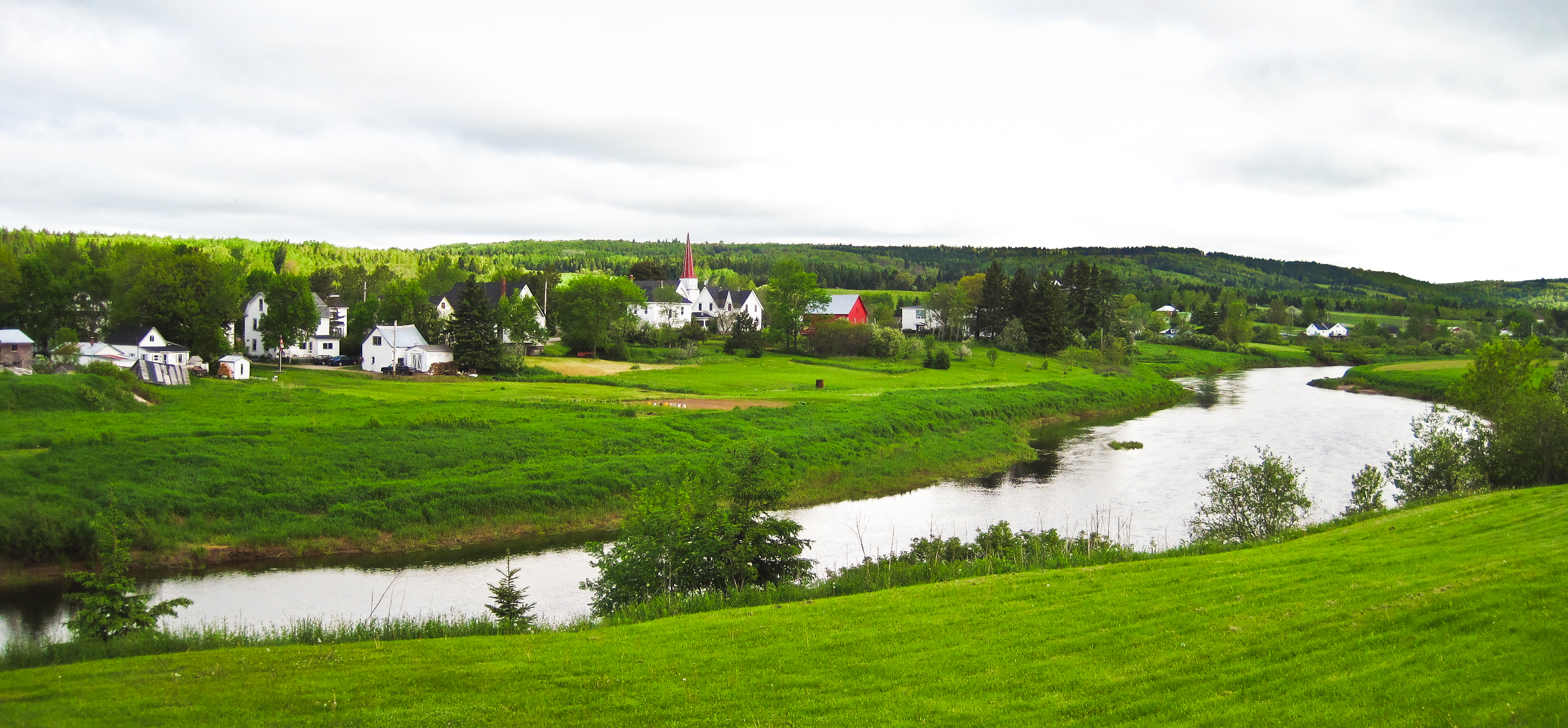
Bloomfield, New Brunswick
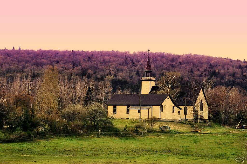
unknown church
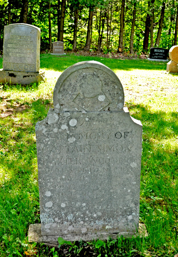
Big Rock Cemetery

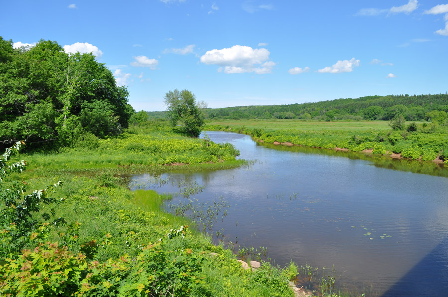
Moosehorn Creek Covered Bridge
Norton, New Brunswick
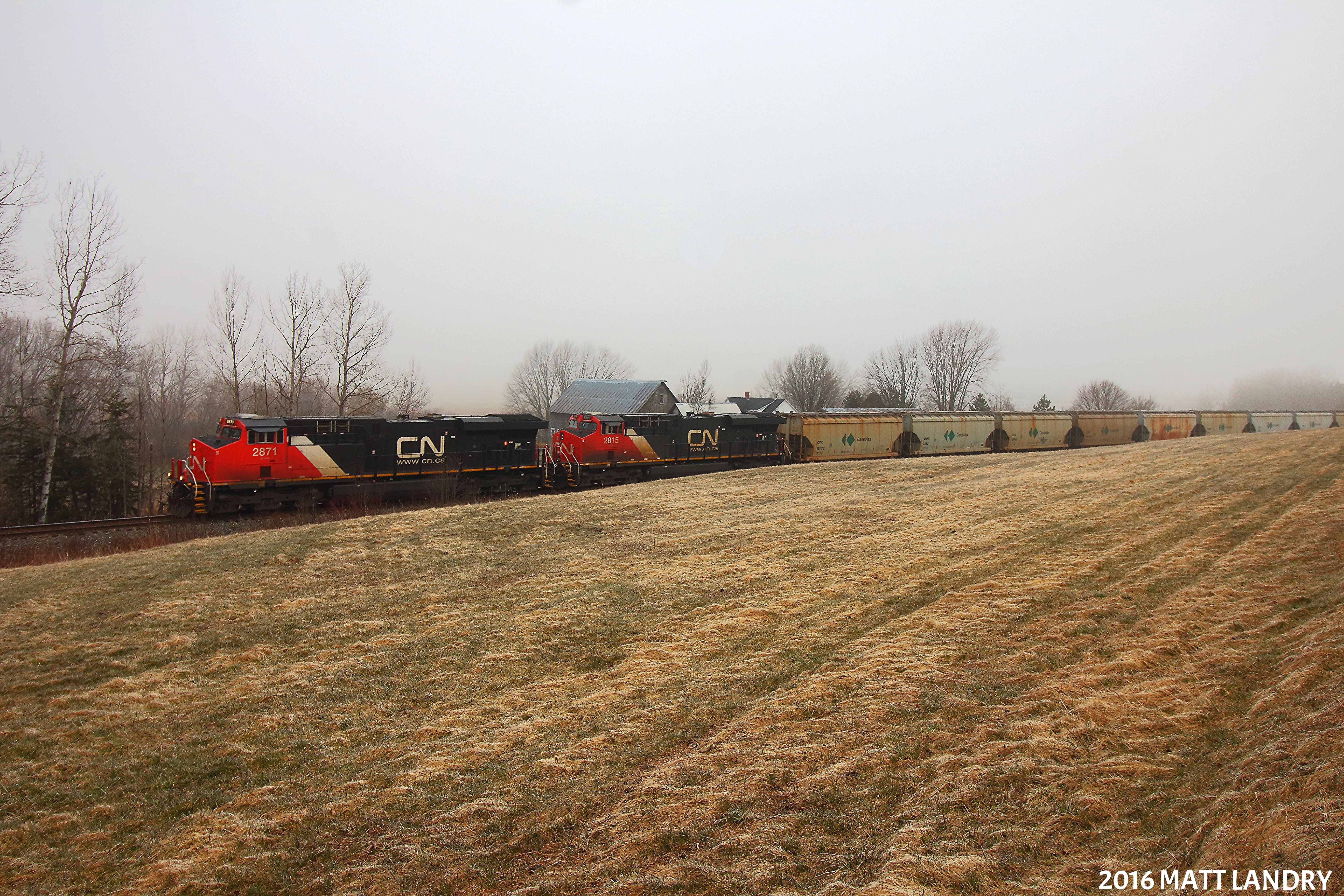
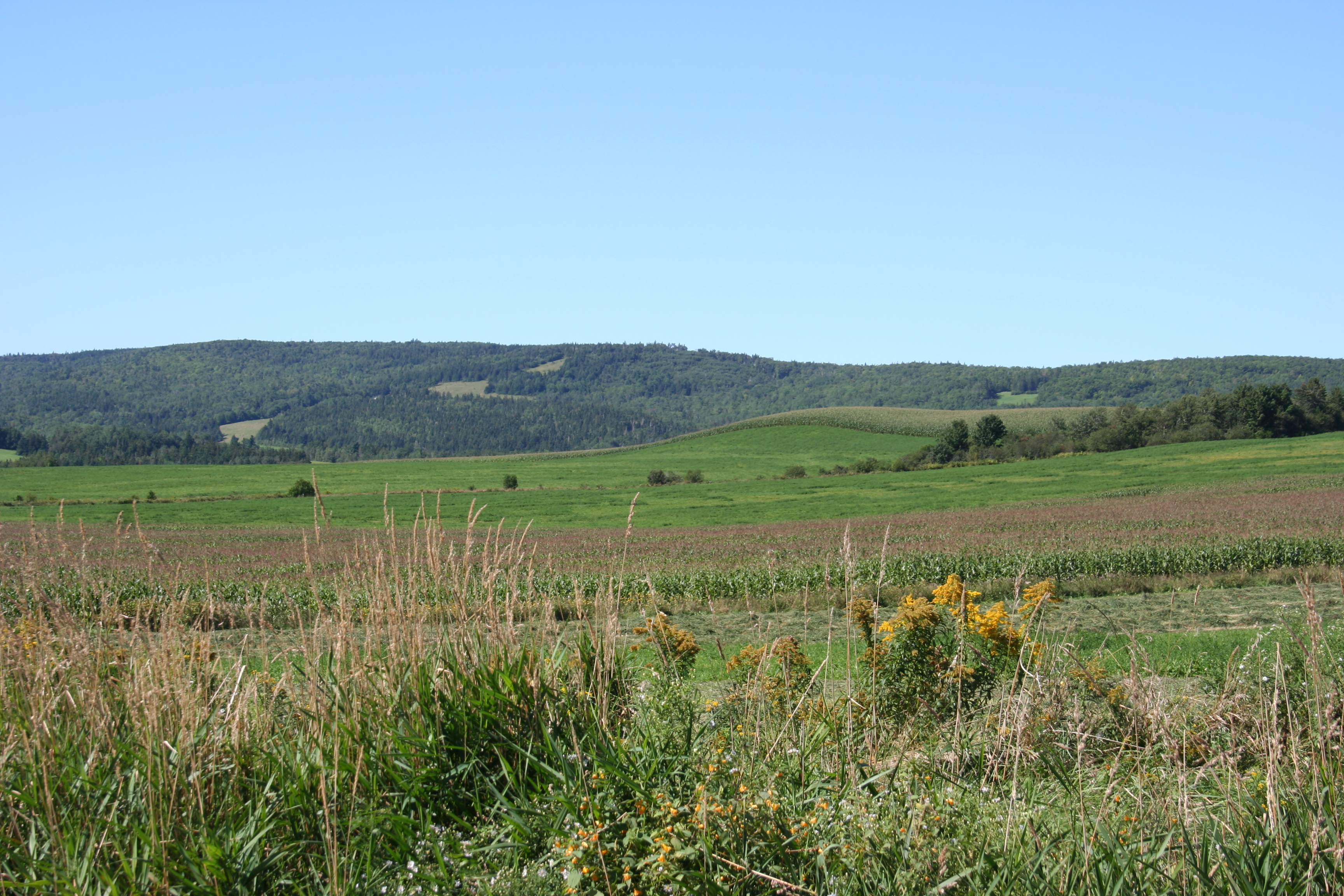
Along The Foggy Background
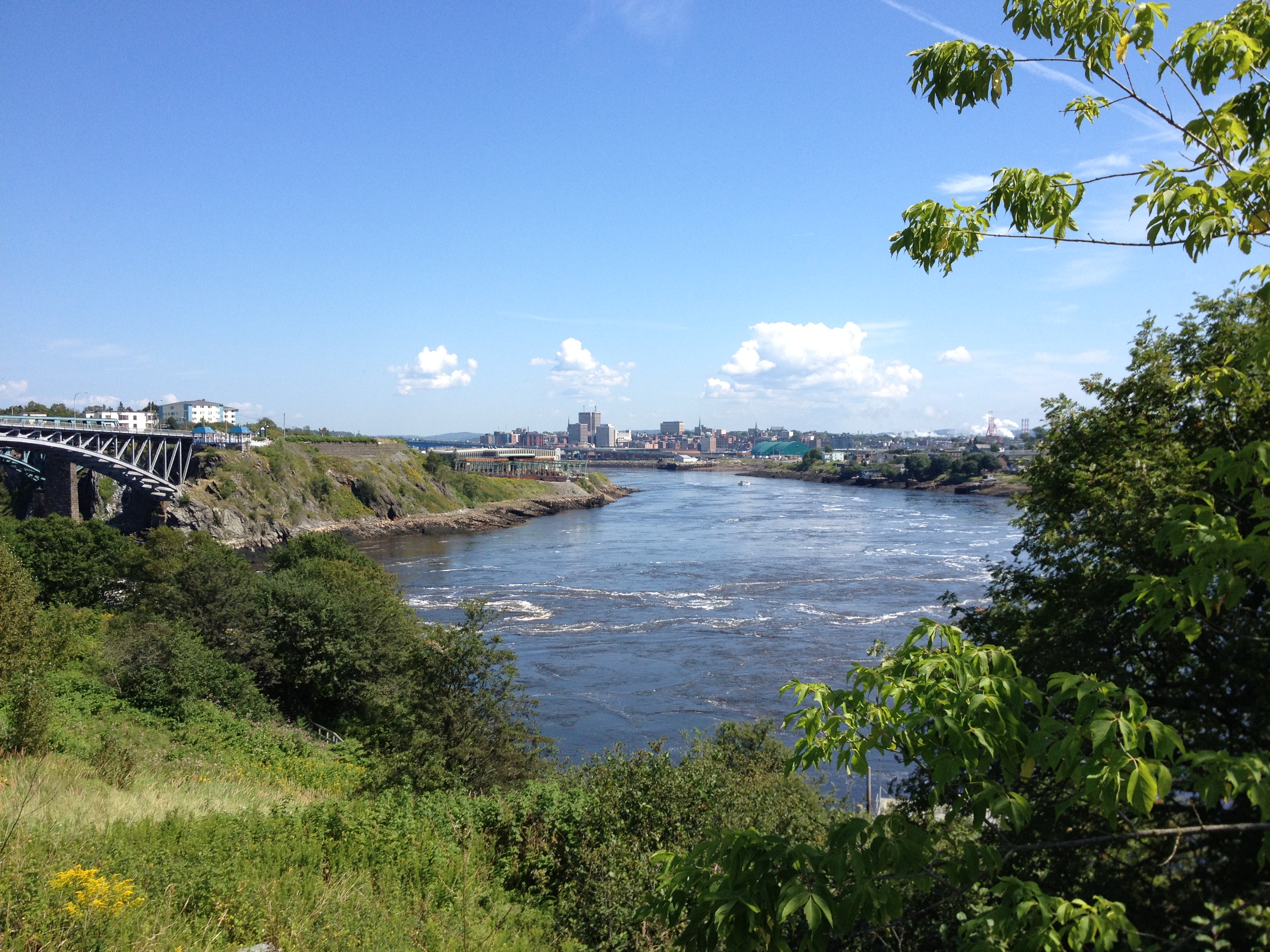
Saint John.

Moosehorn Creek Covered Bridge
Bloomfield Creek by Covered Bridge

DSC_0001_2_3Enhancer ES
Along NB 111

St. Martins Road
Topographic Map of Hillsdale, NB E4E 4A3, Canada
Find elevation by address:

Places near Hillsdale, NB E4E 4A3, Canada:
NB-, Cassidy Lake, NB E4E 5Y6, Canada
211 Lakefield Rd
Lakefield Rd, Cassidy Lake, NB E4E 3M7, Canada
New Brunswick 865
683 Nb-865
99 High Rd
Salt Springs
Sussex
Bloomfield Ridge S Rd, Upham, NB E5N, Canada
Kings County
198 Marshall Hill Rd
Wards Creek
NB-, Salt Springs, NB E5N 4E6, Canada
Riverbank
2377 Nb-121
3 Intercolonial St, Apohaqui, NB E5P 3P4, Canada
Apohaqui
Norton
Dutch Valley
233 Waterford Rd
Recent Searches:
- Elevation of 72-31 Metropolitan Ave, Middle Village, NY, USA
- Elevation of 76 Metropolitan Ave, Brooklyn, NY, USA
- Elevation of Alisal Rd, Solvang, CA, USA
- Elevation of Vista Blvd, Sparks, NV, USA
- Elevation of 15th Ave SE, St. Petersburg, FL, USA
- Elevation of Beall Road, Beall Rd, Florida, USA
- Elevation of Leguwa, Nepal
- Elevation of County Rd, Enterprise, AL, USA
- Elevation of Kolchuginsky District, Vladimir Oblast, Russia
- Elevation of Shustino, Vladimir Oblast, Russia