Elevation of National Forest Development Road, NF-, Winslow, AR, USA
Location: United States > Arkansas > Crawford County > Bidville Township >
Longitude: -93.927199
Latitude: 35.7413323
Elevation: 702m / 2303feet
Barometric Pressure: 93KPa
Elevation Map:
Satellite Map:
Related Photos:
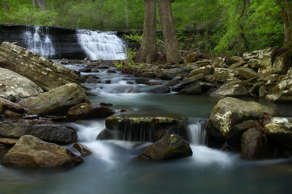
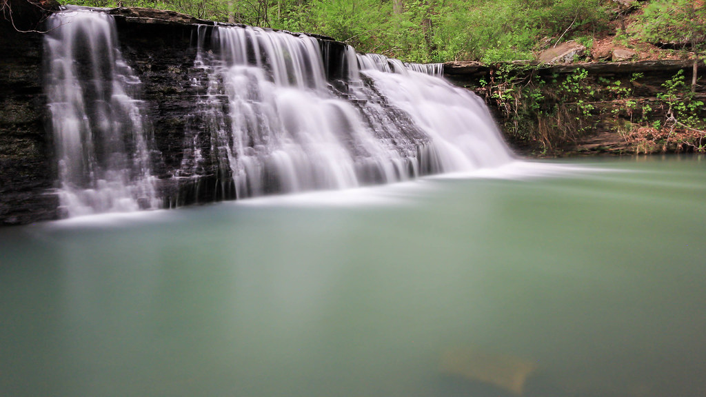
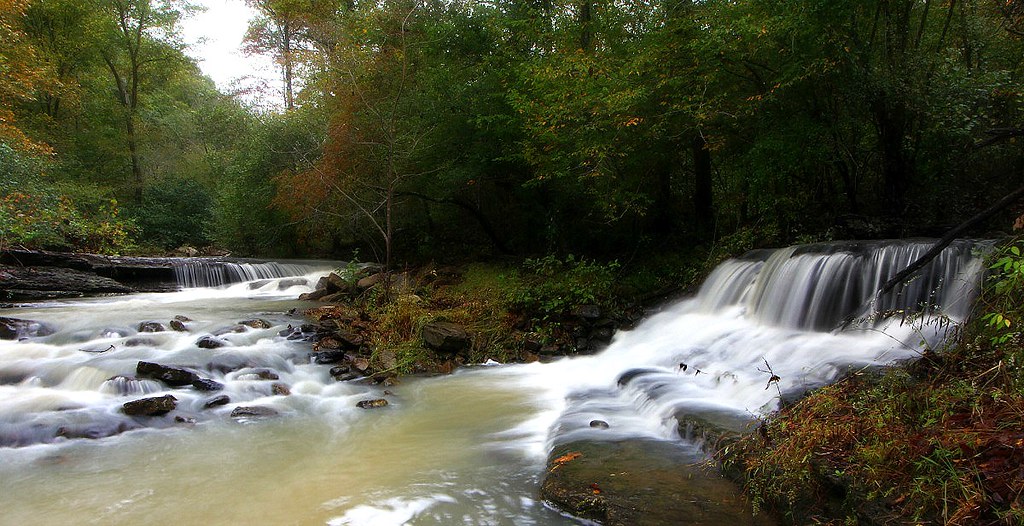
White Rock Creek Cascade
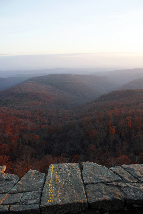
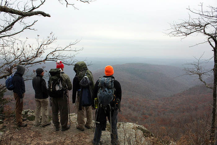
White Rock Mountain - Day 2 - Shores Lake Overlook
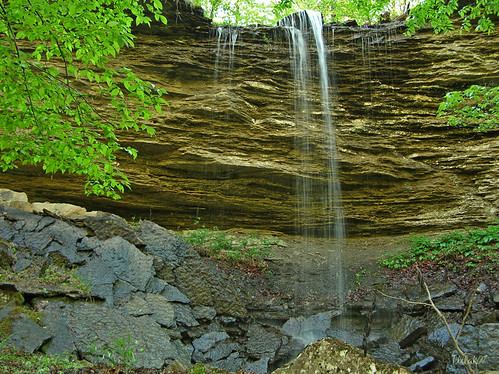
"Flickr, Meet Senyard Falls."
white rock, cloud colors
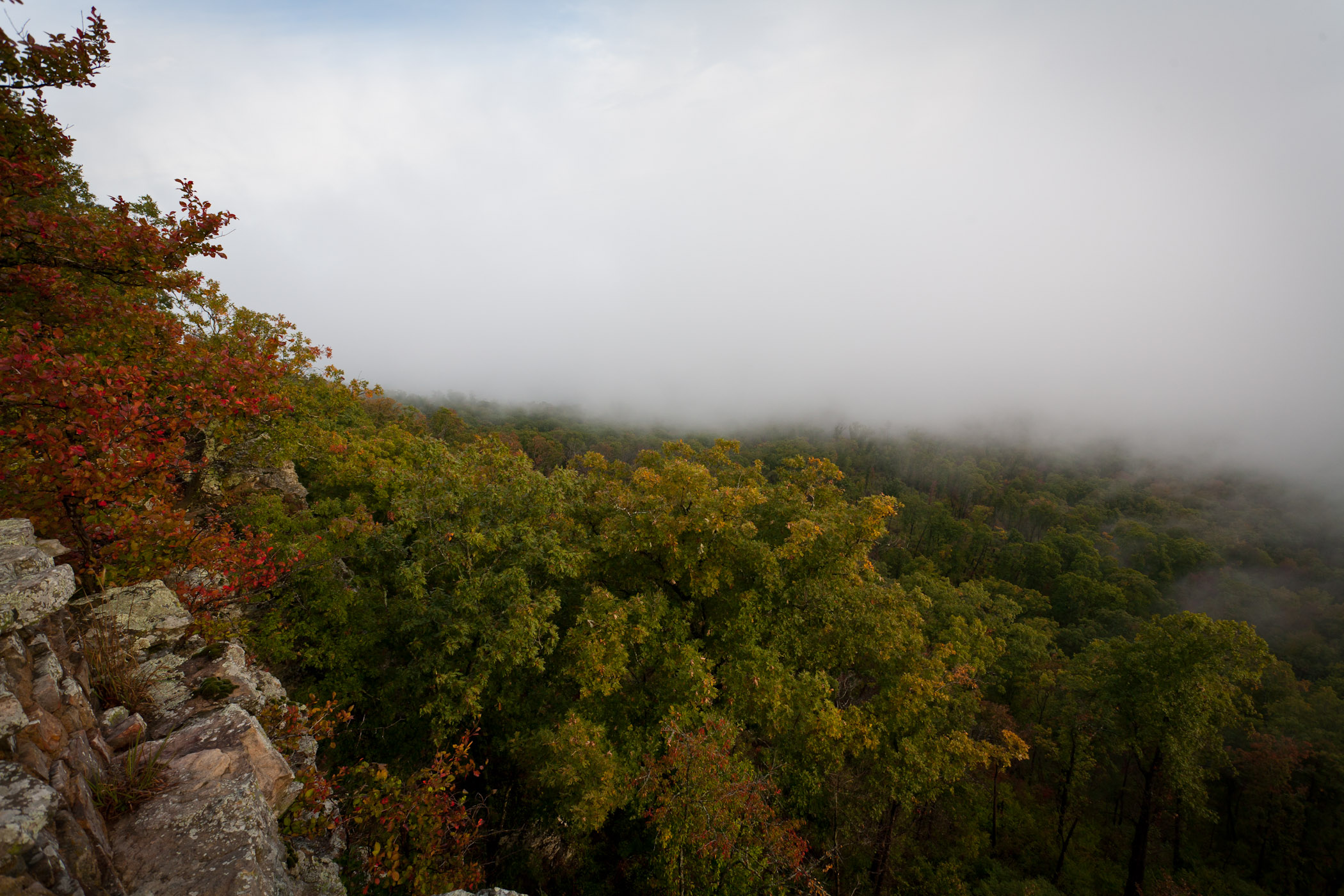
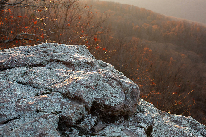
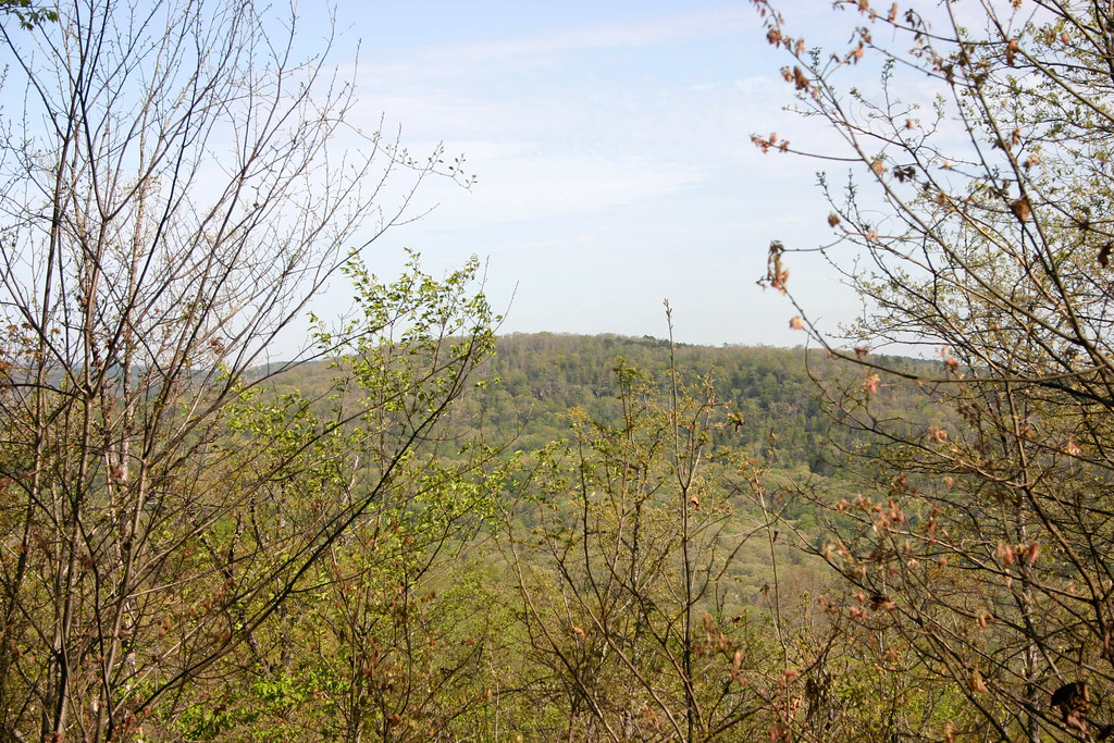
Foggy View from White Rock

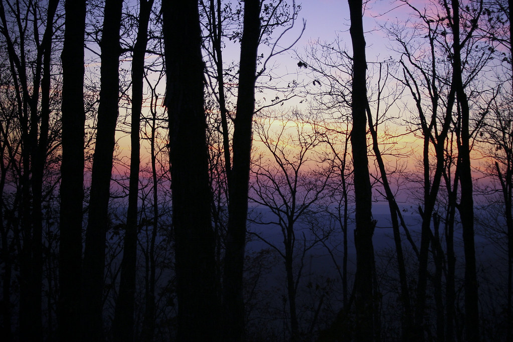
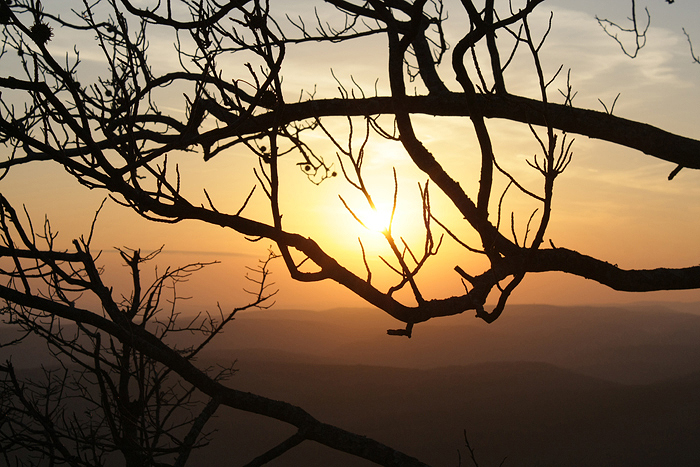
White Rock Mountain - Day 2 - Sunset
White Rock Mountain - Day 2 - Sunset

White Rock Mountain - Day 2 - Sunset

White Rock Mountain - Day 2 - Sunset Abstract

White Rock Mountain - Day 2 - Sunset Abstract
White Rock Mountain - Day 1 - Hurricane Creek
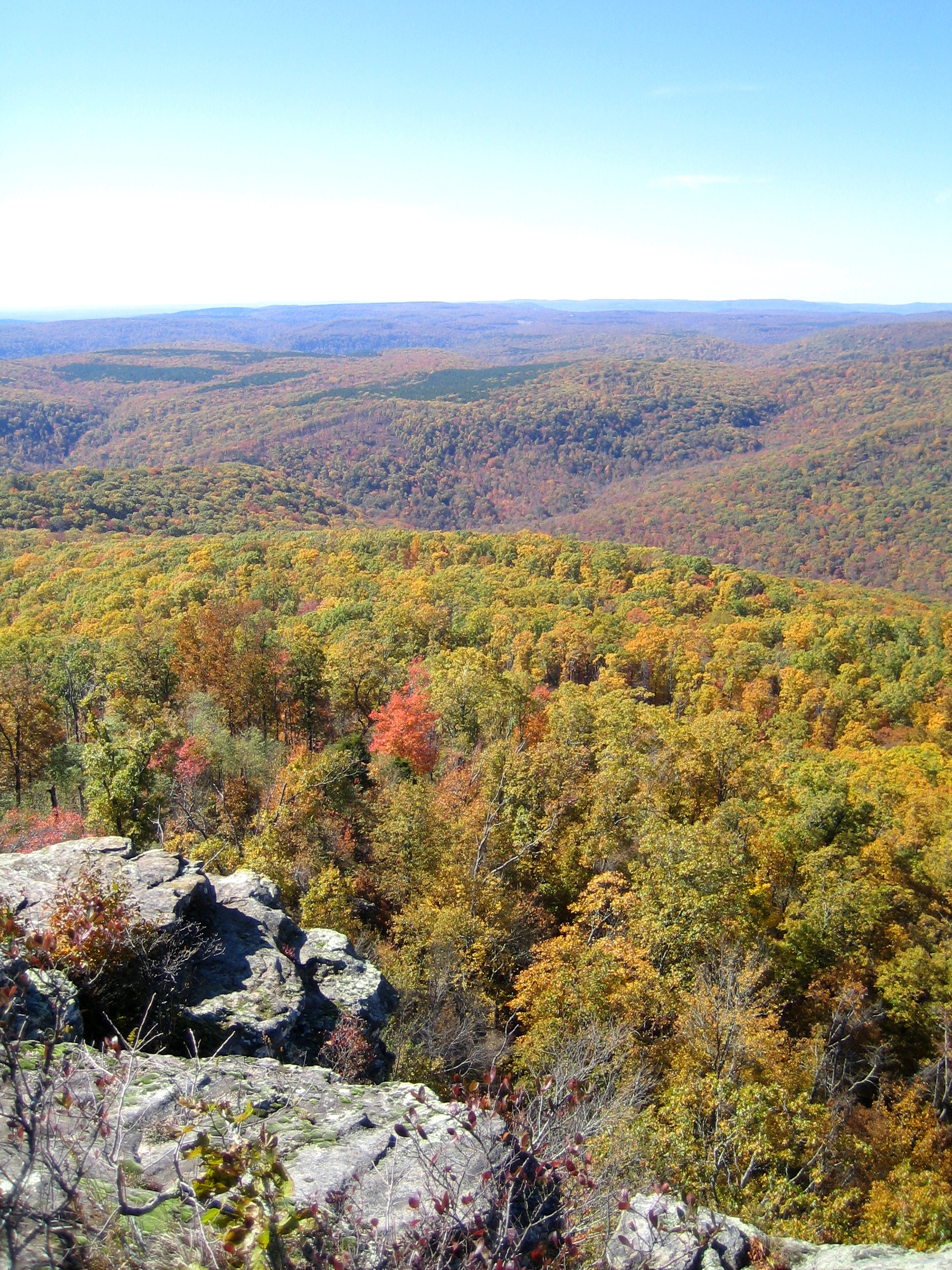
White Rock Mountain - Day 2 - Autumn Colors
White Rock Mountain - Day 1 - Soft Light
White Rock Mountain - Day 3 - Descent
White Rock Mountain Sunset Shelter View North
White Rock Mountain - Day 2 - White Rock
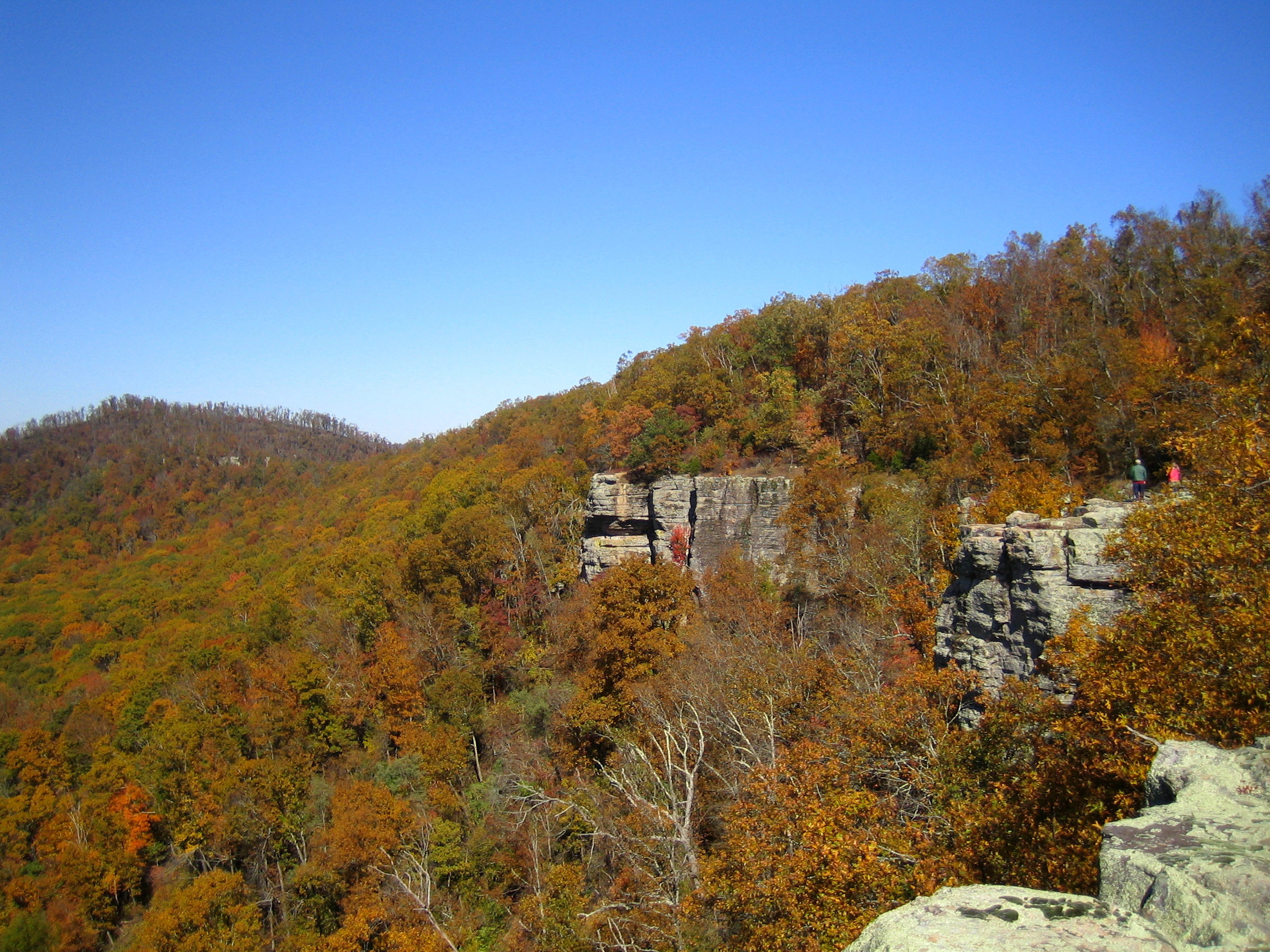
White Rock Senic View
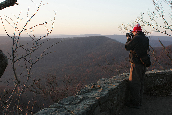
White Rock Mountain - Day 2 - Jonas
White Rock Mountain Sunset Shelter View West

White Rock Mountain - Day 2 - Sunset

White Rock Mountain - Day 2 - Sunset

Under the Orion Arm of the Milky Way in Ozark National Forest
Rattlesnake Falls
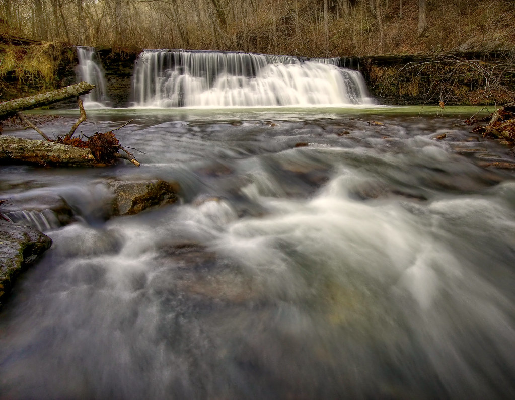
Low flow at White Rock Creek Cascade
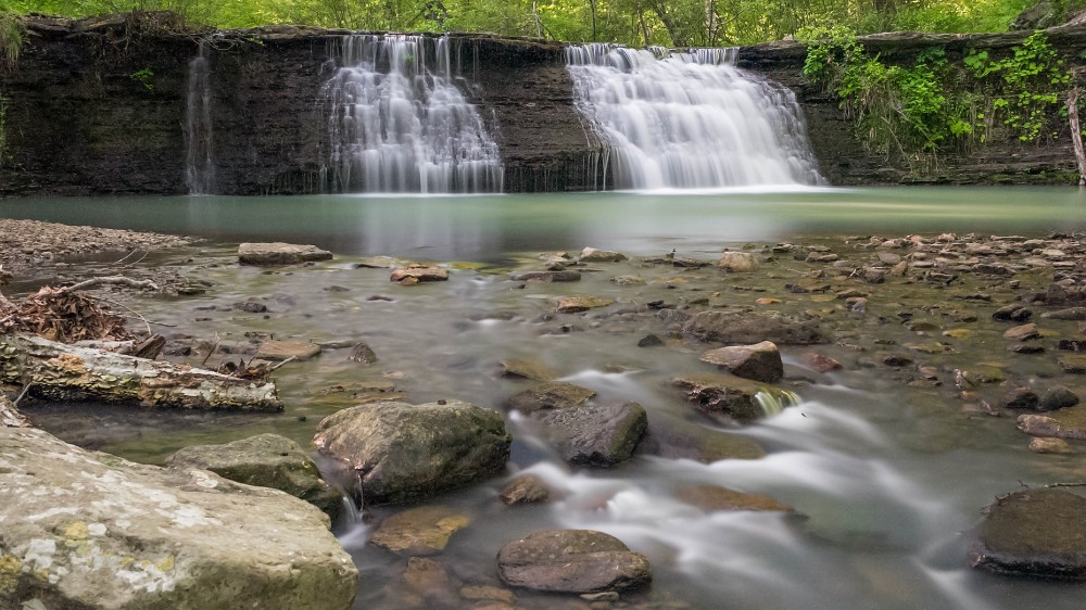
Spirits Creek Falls
Unnamed waterfall on Spirits creek
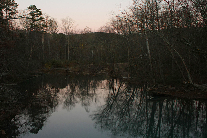
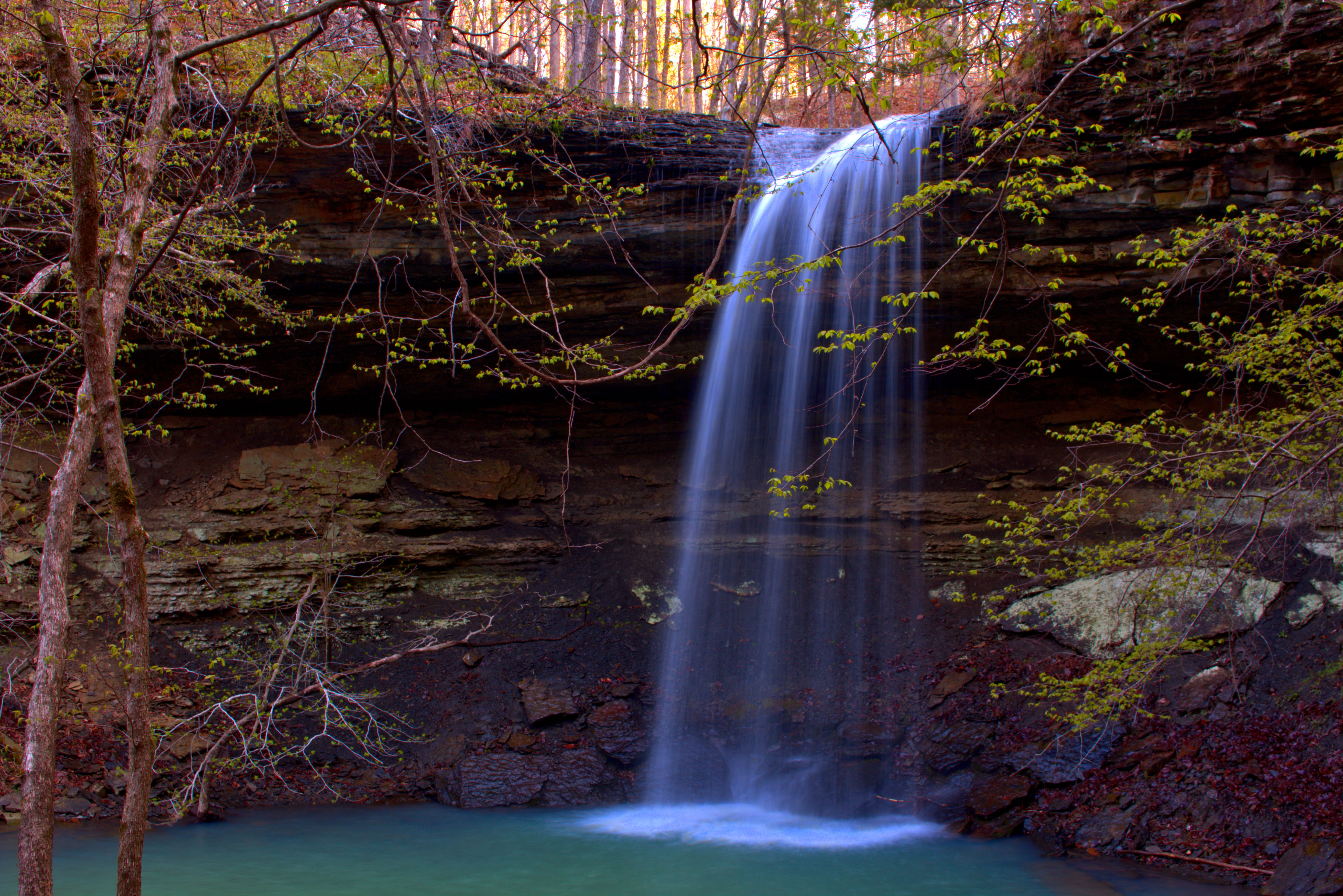
White Rock Creek Cascade
Ozark waterfall
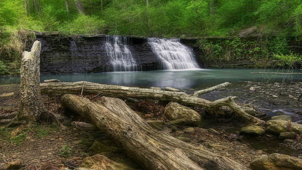
White Rock Creek Cascade
White Rock Creek Cascade
Green waters of the Ozarks

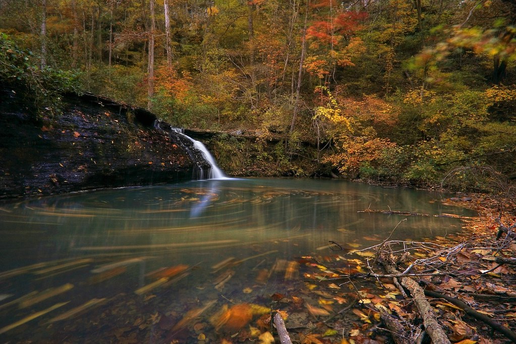
White Rock Creek swirly
The meeting of Dry Fork and White Rock Creek
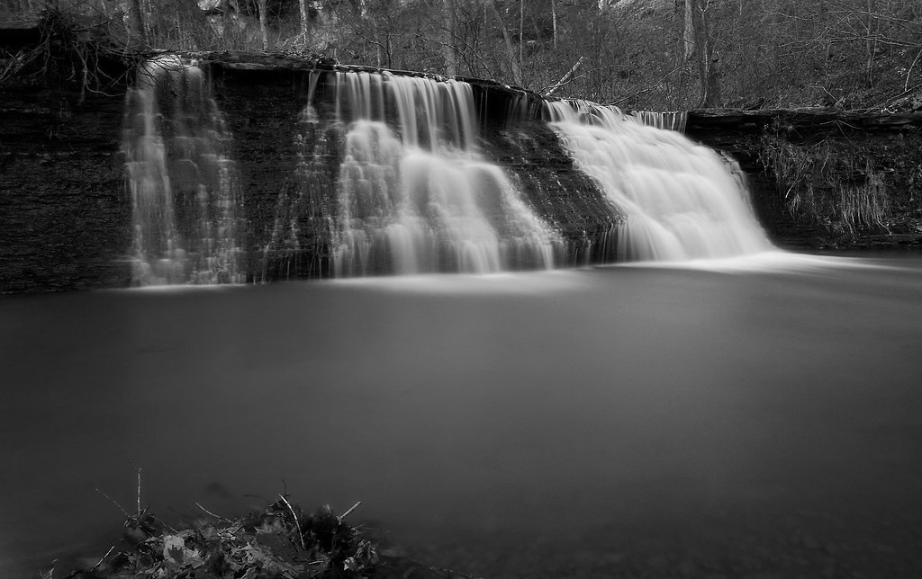
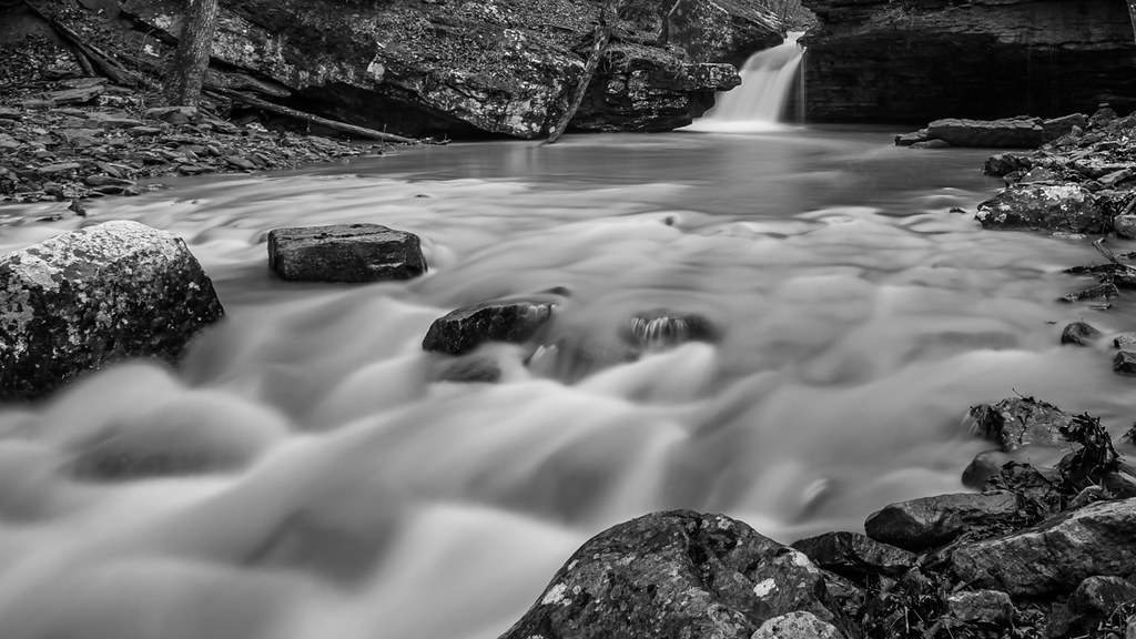
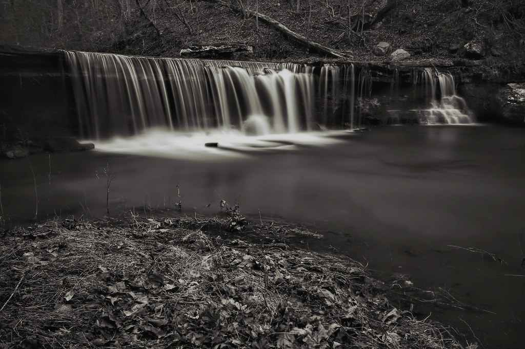
White Rock Creek Cascade (BW)

Pig Trail Falls
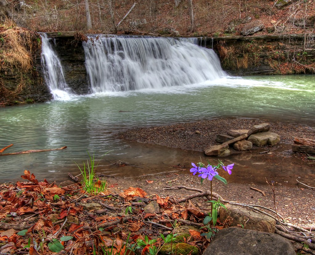
White Rock Creek Cascade

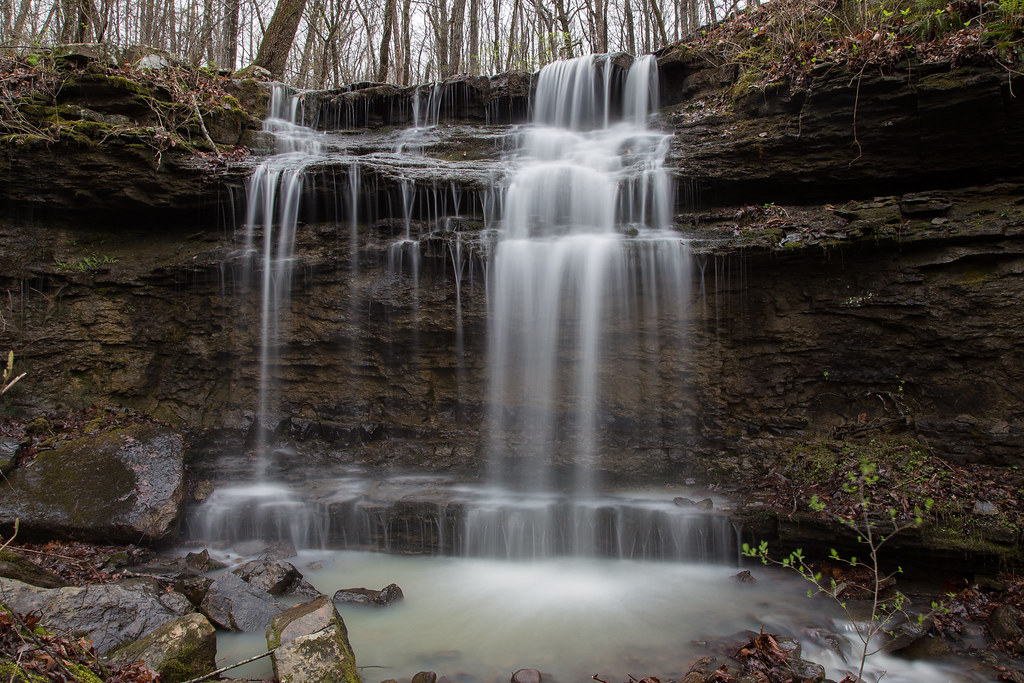
Unnamed waterfall

White Rock Cascade in HDR B&W
Topographic Map of National Forest Development Road, NF-, Winslow, AR, USA
Find elevation by address:

Places near National Forest Development Road, NF-, Winslow, AR, USA:
Madison, Elkins, AR, USA
Bidville Township
Bidville
626 Madison 4035
Bear Hollow Road
White Rock Mountain
White Rock Mountain
Bidville Rd, Winslow, AR, USA
Shores Township
1626 Madison 4035
2084 Madison 4035
3068 Madison 4147
AR-, Elkins, AR, USA
Bidville Road
Valley Township
17776 Brannon Mountain Rd
17776 Brannon Mountain Rd
17776 Brannon Mountain Rd
17776 Brannon Mountain Rd
17776 Brannon Mountain Rd
Recent Searches:
- Elevation of Co Rd 87, Jamestown, CO, USA
- Elevation of Tenjo, Cundinamarca, Colombia
- Elevation of Côte-des-Neiges, Montreal, QC H4A 3J6, Canada
- Elevation of Bobcat Dr, Helena, MT, USA
- Elevation of Zu den Ihlowbergen, Althüttendorf, Germany
- Elevation of Badaber, Peshawar, Khyber Pakhtunkhwa, Pakistan
- Elevation of SE Heron Loop, Lincoln City, OR, USA
- Elevation of Slanický ostrov, 01 Námestovo, Slovakia
- Elevation of Spaceport America, Co Rd A, Truth or Consequences, NM, USA
- Elevation of Warwick, RI, USA