Elevation of Shores Township, AR, USA
Location: United States > Arkansas > Franklin County >
Longitude: -93.957237
Latitude: 35.6867812
Elevation: 583m / 1913feet
Barometric Pressure: 95KPa
Elevation Map:
Satellite Map:
Related Photos:
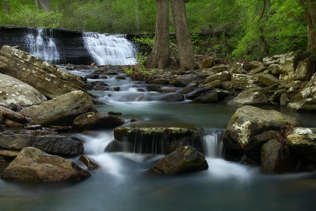
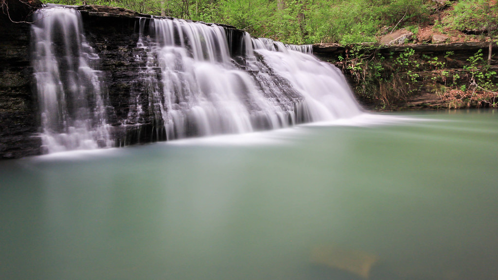
White Rock Creek Cascade
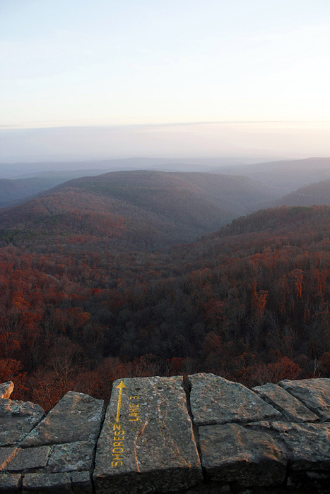
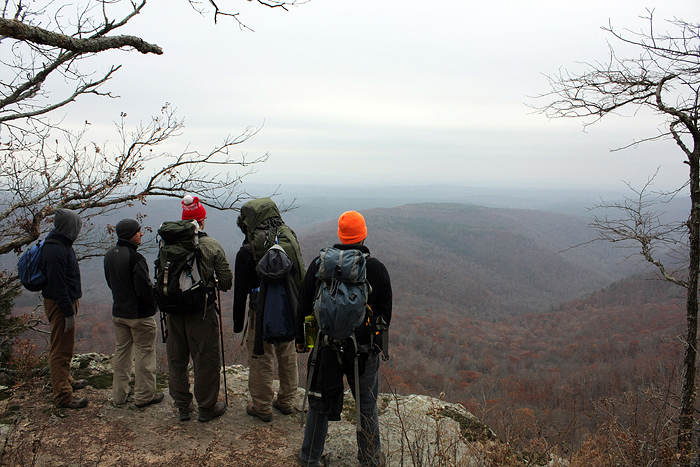
White Rock Mountain - Day 2 - Shores Lake Overlook
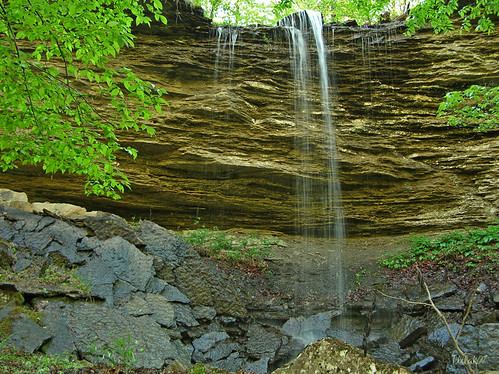
"Flickr, Meet Senyard Falls."

white rock, cloud colors
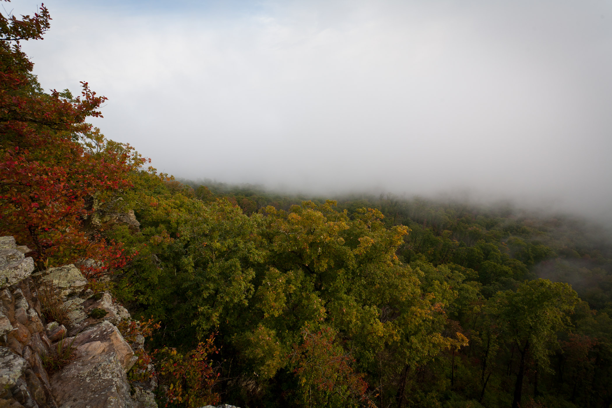
Foggy View from White Rock

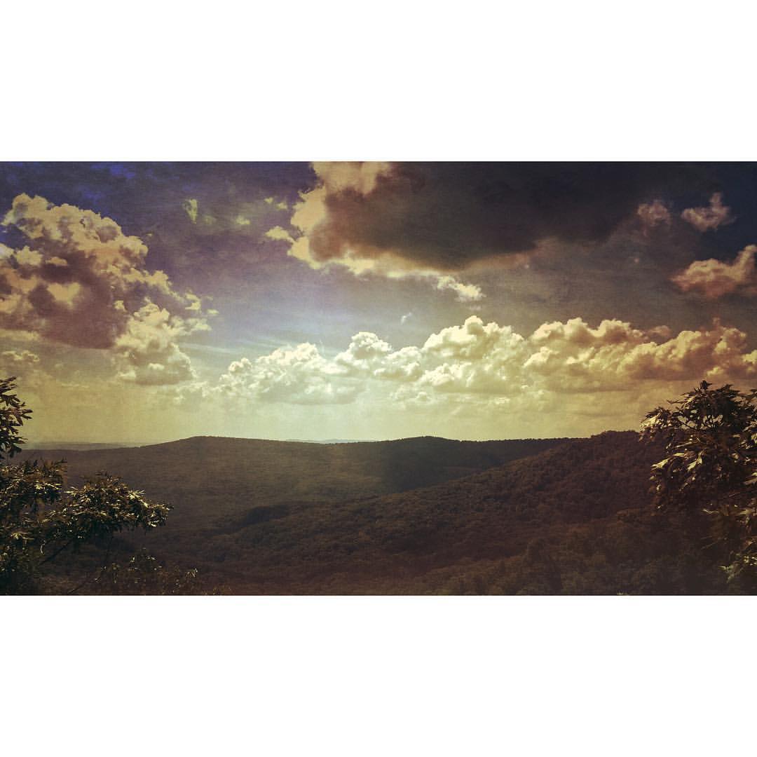
White Rock Mountain - Day 2 - Sunset

White Rock Mountain - Day 2 - Sunset

White Rock Mountain - Day 2 - Sunset

White Rock Mountain - Day 2 - Sunset Abstract

White Rock Mountain - Day 2 - Sunset Abstract
White Rock Mountain - Day 1 - Hurricane Creek

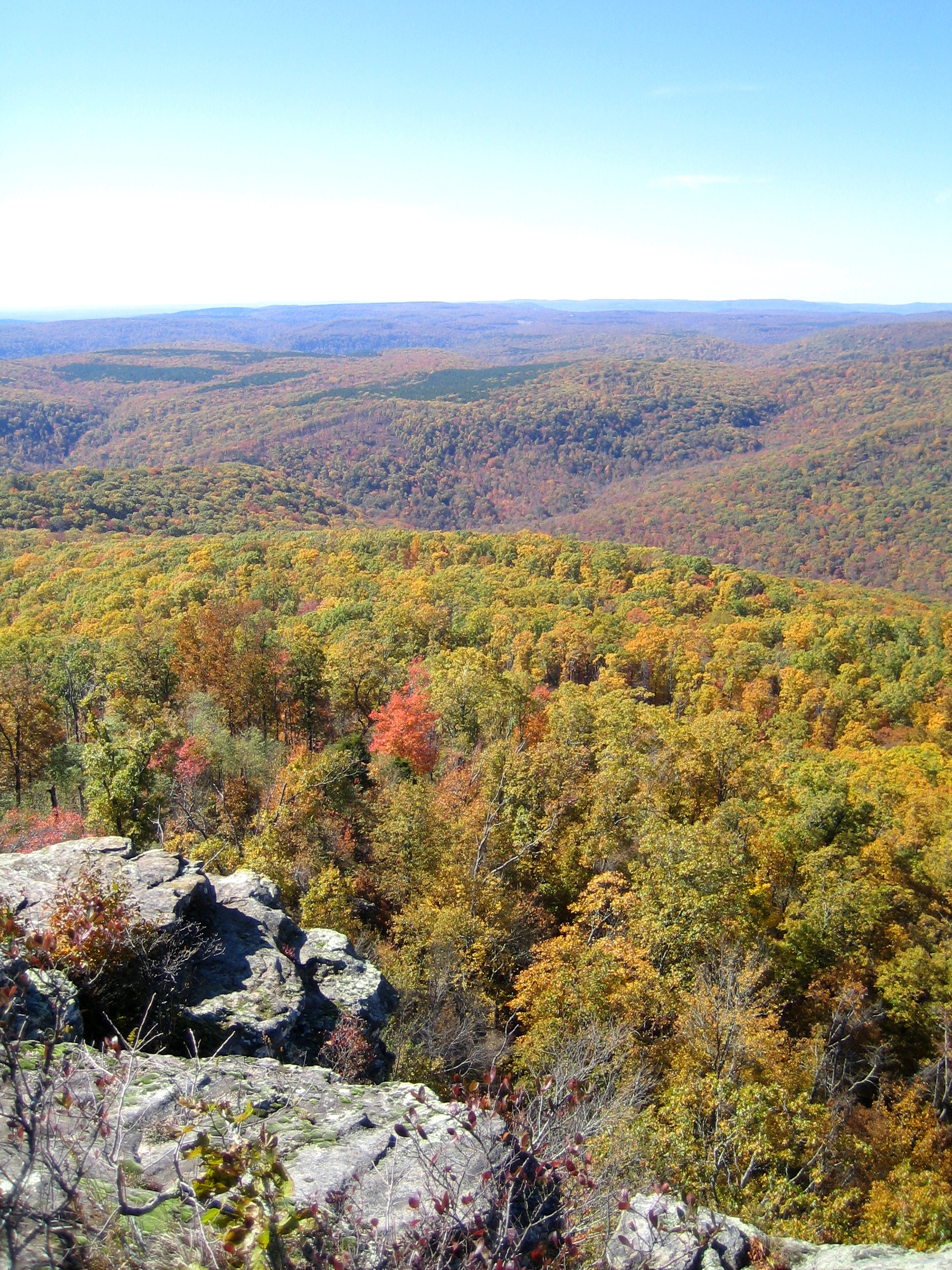
White Rock Mountain - Day 2 - Autumn Colors
White Rock Mountain - Day 3 - Descent
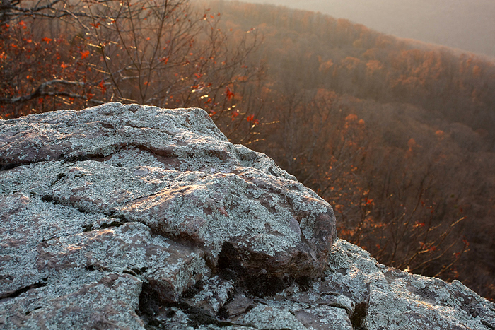
White Rock Mountain - Day 2 - White Rock
White Rock Senic View
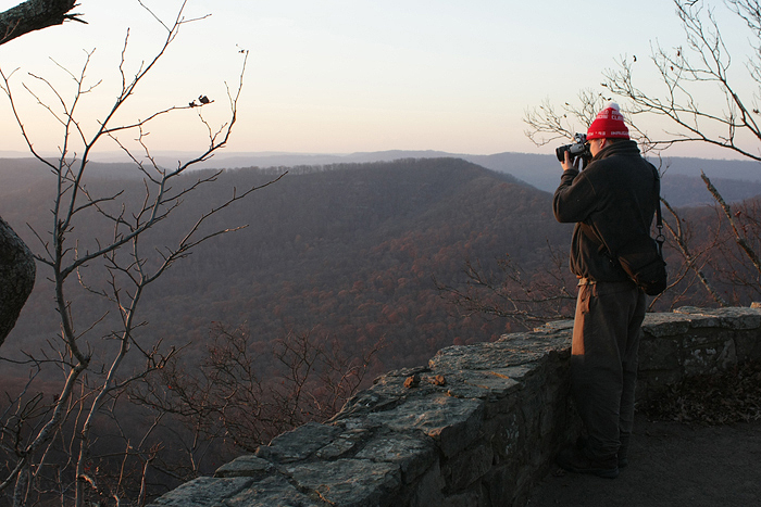
White Rock Mountain - Day 2 - Jonas
White Rock Mountain Sunset Shelter View West

White Rock Mountain - Day 2 - Sunset

White Rock Mountain - Day 2 - Sunset

White Rock Mountain - Day 1 - Jonas
Beautiful view #ozarkmountains #mulberrymountain #byrdsadventurecenter
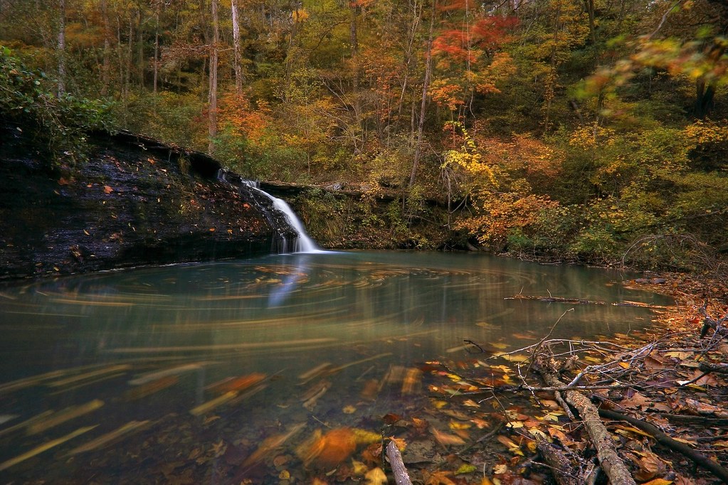
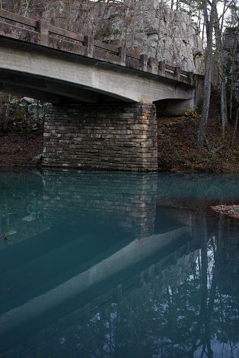
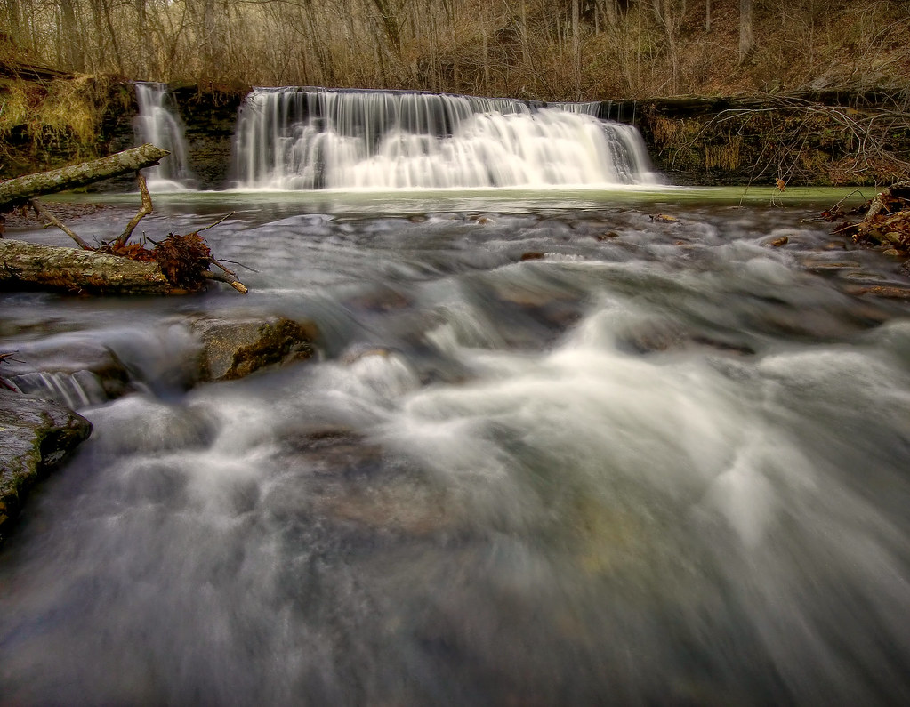
Low flow at White Rock Creek Cascade
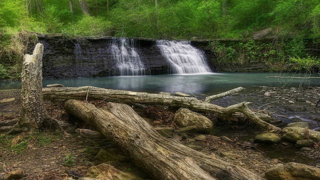
White Rock Creek Cascade
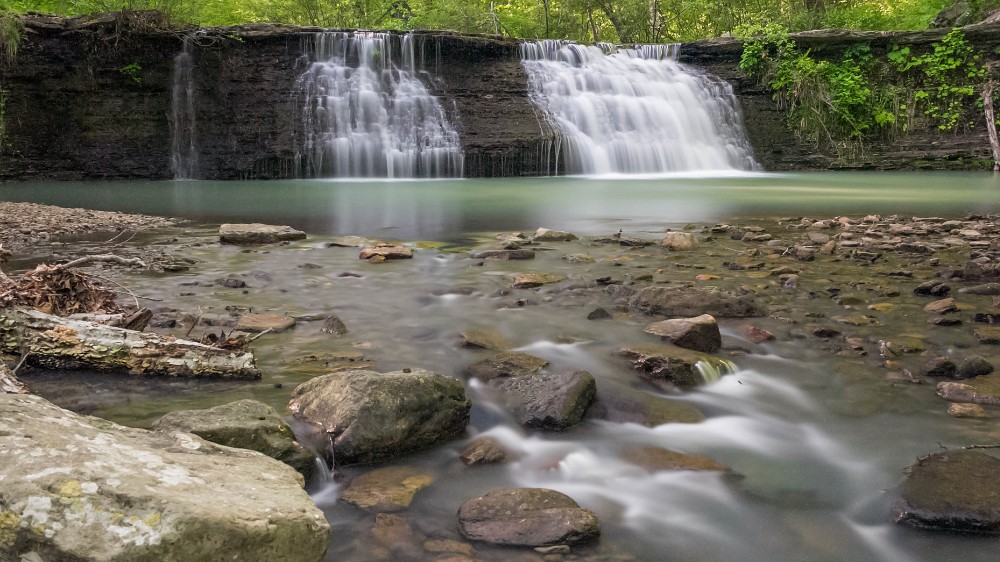
White Rock Creek Cascade
Ozark waterfall
White Rock Creek Cascade
Green waters of the Ozarks
nobody there
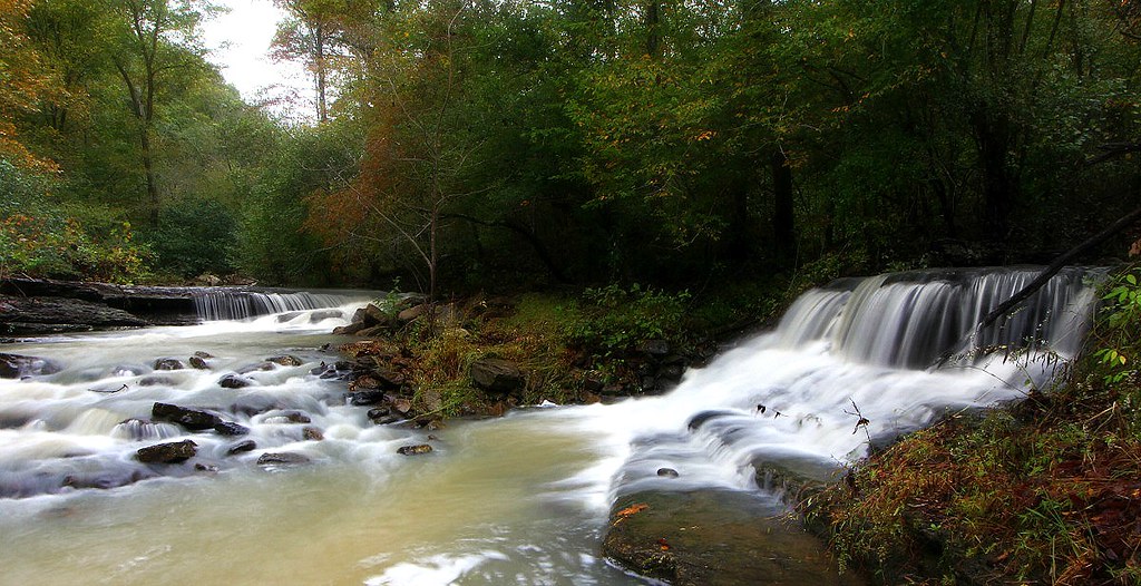
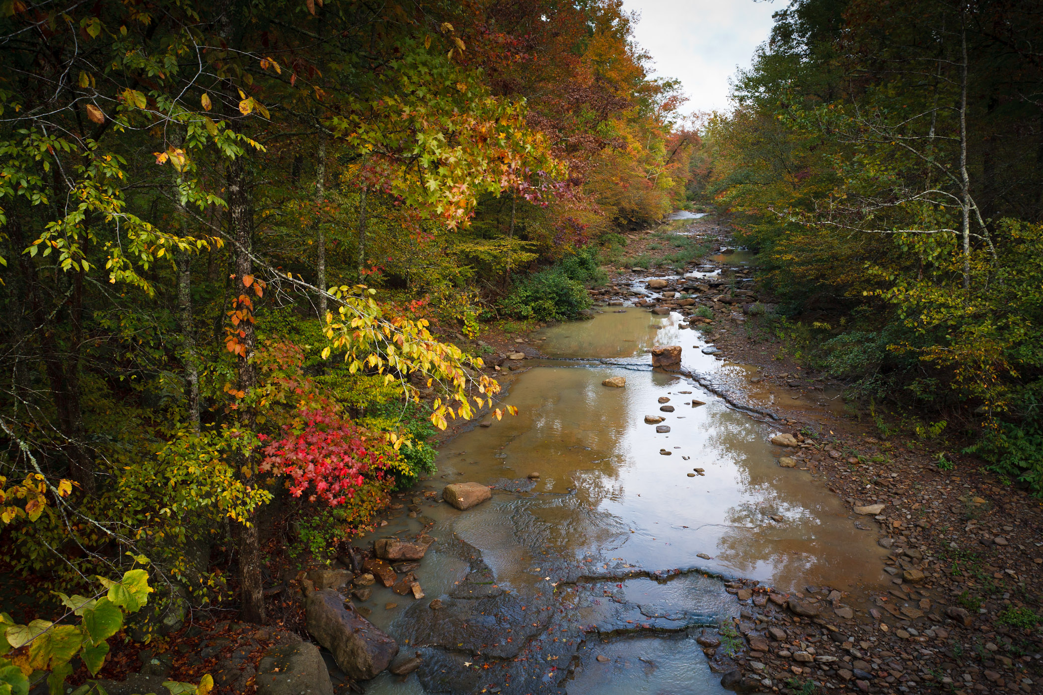
The meeting of Dry Fork and White Rock Creek
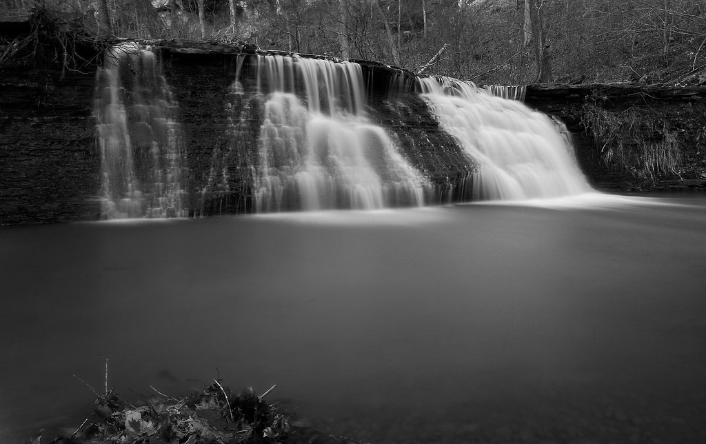
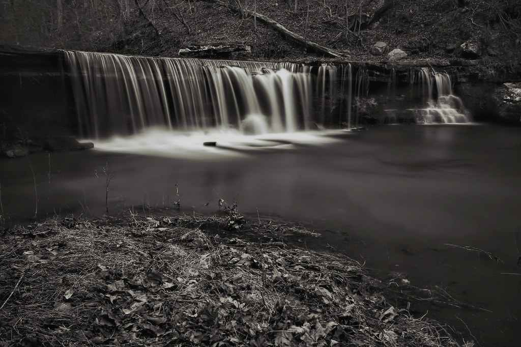
White Rock Creek Cascade (BW)

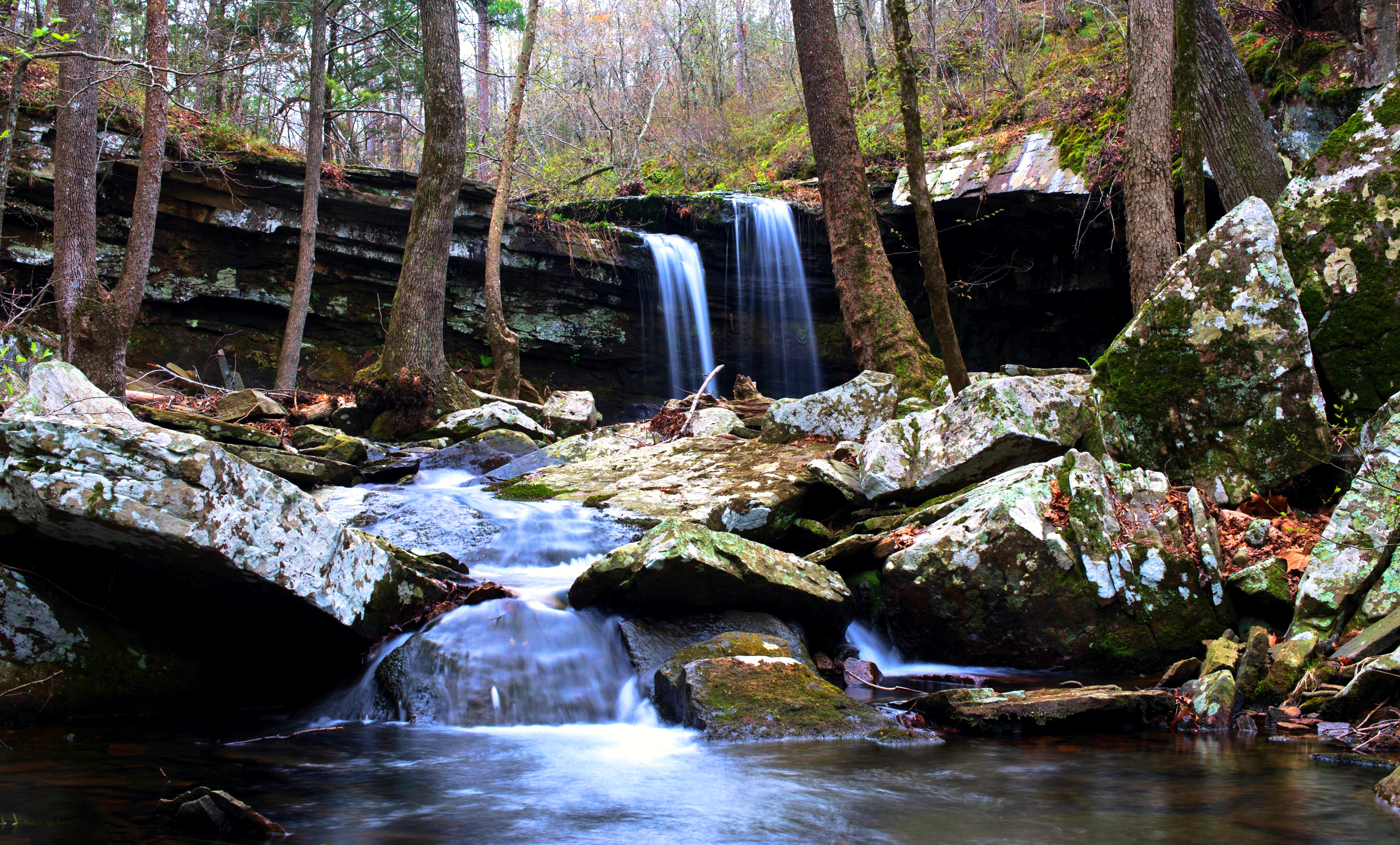
Unnamed waterfall

Pig Trail Falls
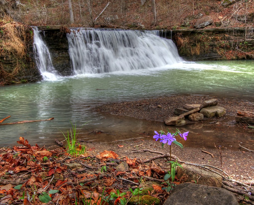
White Rock Creek Cascade

White Rock Cascade in HDR B&W
Hurricane Creek
Devils Hollow Mulberry, Arkansas
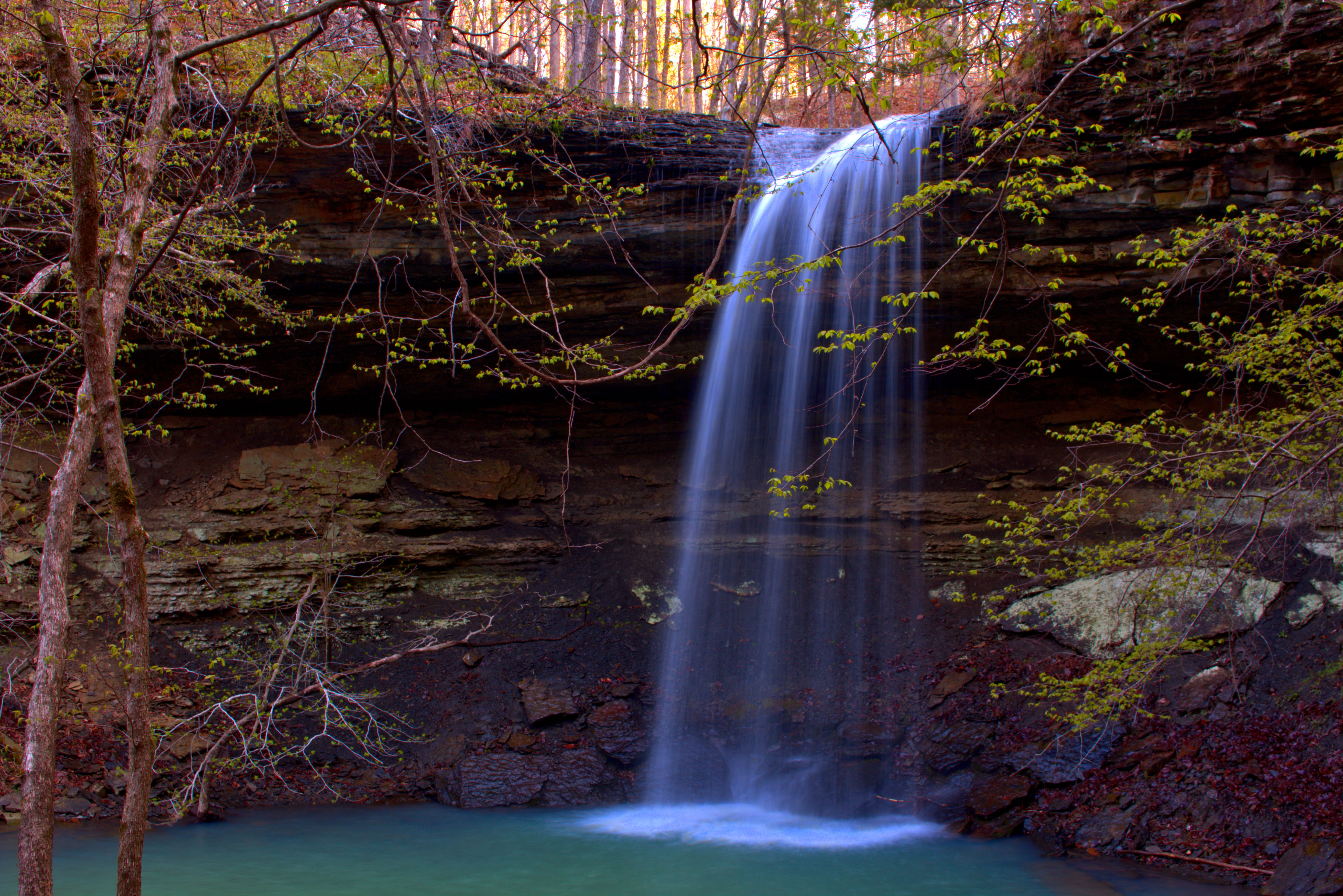
Rattlesnake Falls

White Rock Mountain Sunset
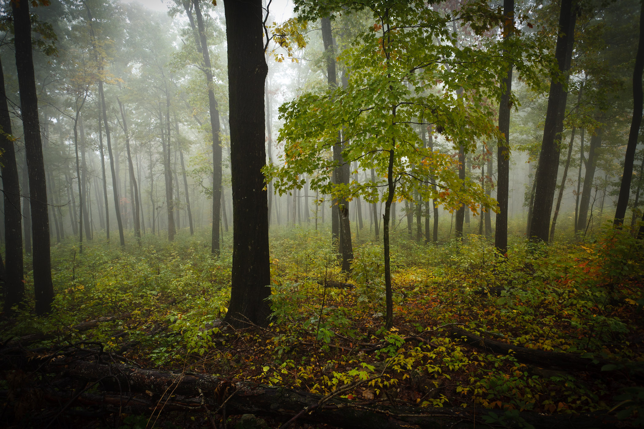
Foggy Trees
Topographic Map of Shores Township, AR, USA
Find elevation by address:

Places in Shores Township, AR, USA:
Places near Shores Township, AR, USA:
White Rock Mountain
White Rock Mountain
Bidville Township
Bear Hollow Road
Bidville
National Forest Development Road 1007
Bidville Rd, Winslow, AR, USA
Bidville Road
Madison, Elkins, AR, USA
626 Madison 4035
1626 Madison 4035
2084 Madison 4035
Winfrey Township
17160 Winfrey Valley Rd
3068 Madison 4147
AR-, Elkins, AR, USA
22723 Winfrey Valley Rd
Bidville Rd, Winslow, AR, USA
17776 Brannon Mountain Rd
17776 Brannon Mountain Rd
Recent Searches:
- Elevation of East W.T. Harris Boulevard, E W.T. Harris Blvd, Charlotte, NC, USA
- Elevation of West Sugar Creek, Charlotte, NC, USA
- Elevation of Wayland, NY, USA
- Elevation of Steadfast Ct, Daphne, AL, USA
- Elevation of Lagasgasan, X+CQH, Tiaong, Quezon, Philippines
- Elevation of Rojo Ct, Atascadero, CA, USA
- Elevation of Flagstaff Drive, Flagstaff Dr, North Carolina, USA
- Elevation of Avery Ln, Lakeland, FL, USA
- Elevation of Woolwine, VA, USA
- Elevation of Lumagwas Diversified Farmers Multi-Purpose Cooperative, Lumagwas, Adtuyon, RV32+MH7, Pangantucan, Bukidnon, Philippines