Elevation map of Naryn District, Kyrgyzstan
Location: Kyrgyzstan > Naryn Region >
Longitude: 75.8998674
Latitude: 41.5224188
Elevation: 2157m / 7077feet
Barometric Pressure: 78KPa
Elevation Map:
Satellite Map:
Related Photos:

The Hotel Ata-Too in Naryn

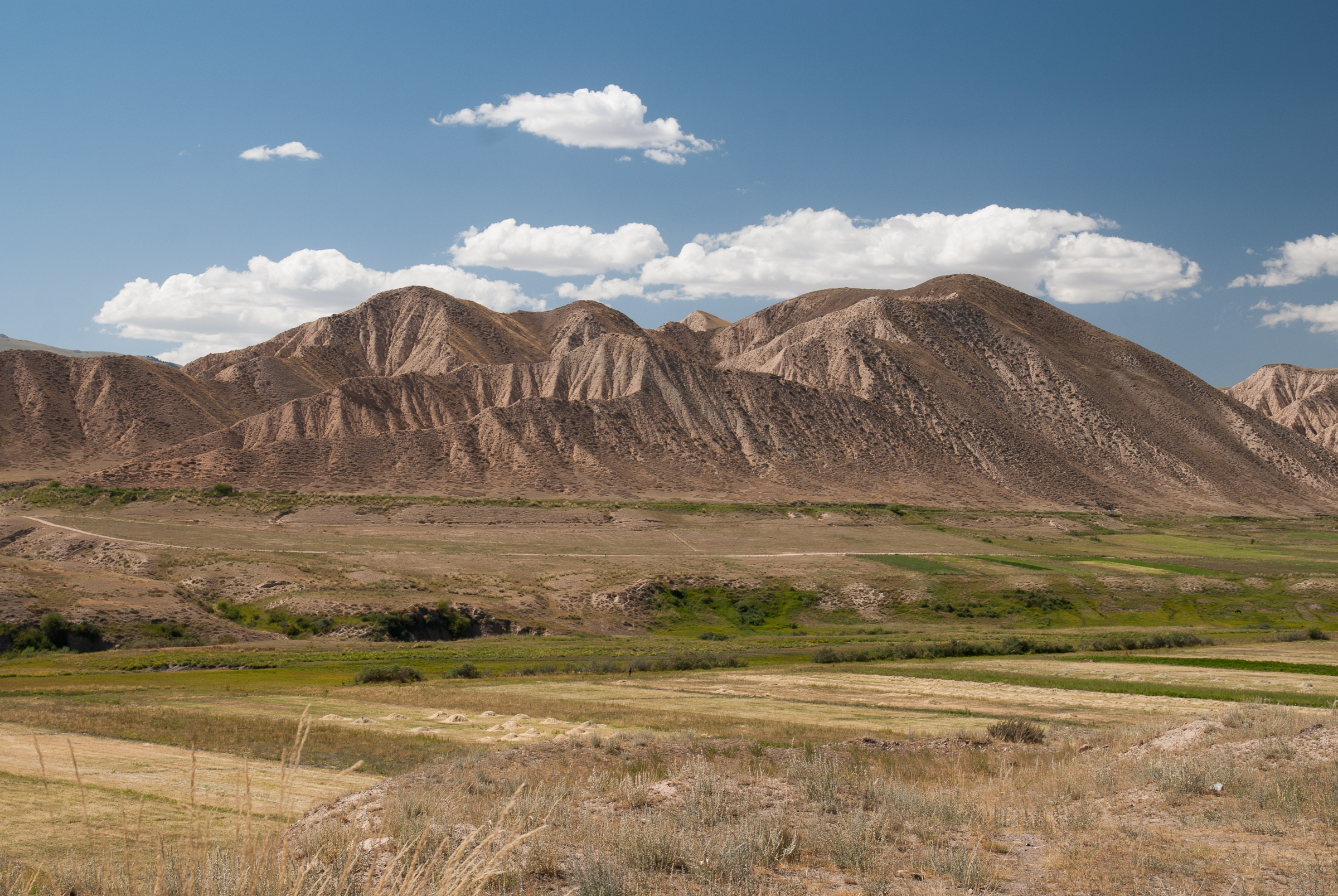
Views over Naryn

Views over Naryn

Views over Naryn

Views over Naryn

Views over Naryn
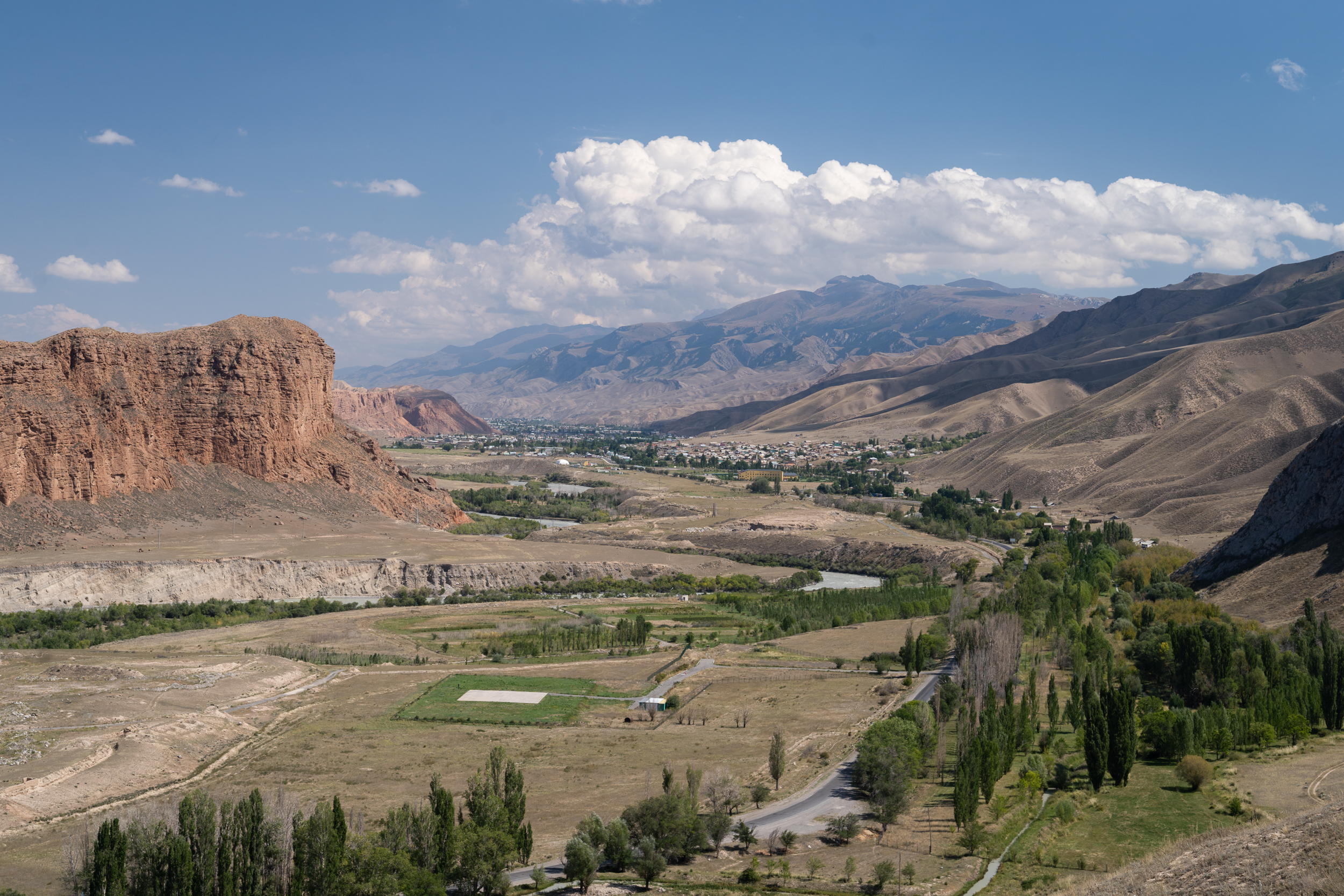
Views over Naryn

Views over Naryn

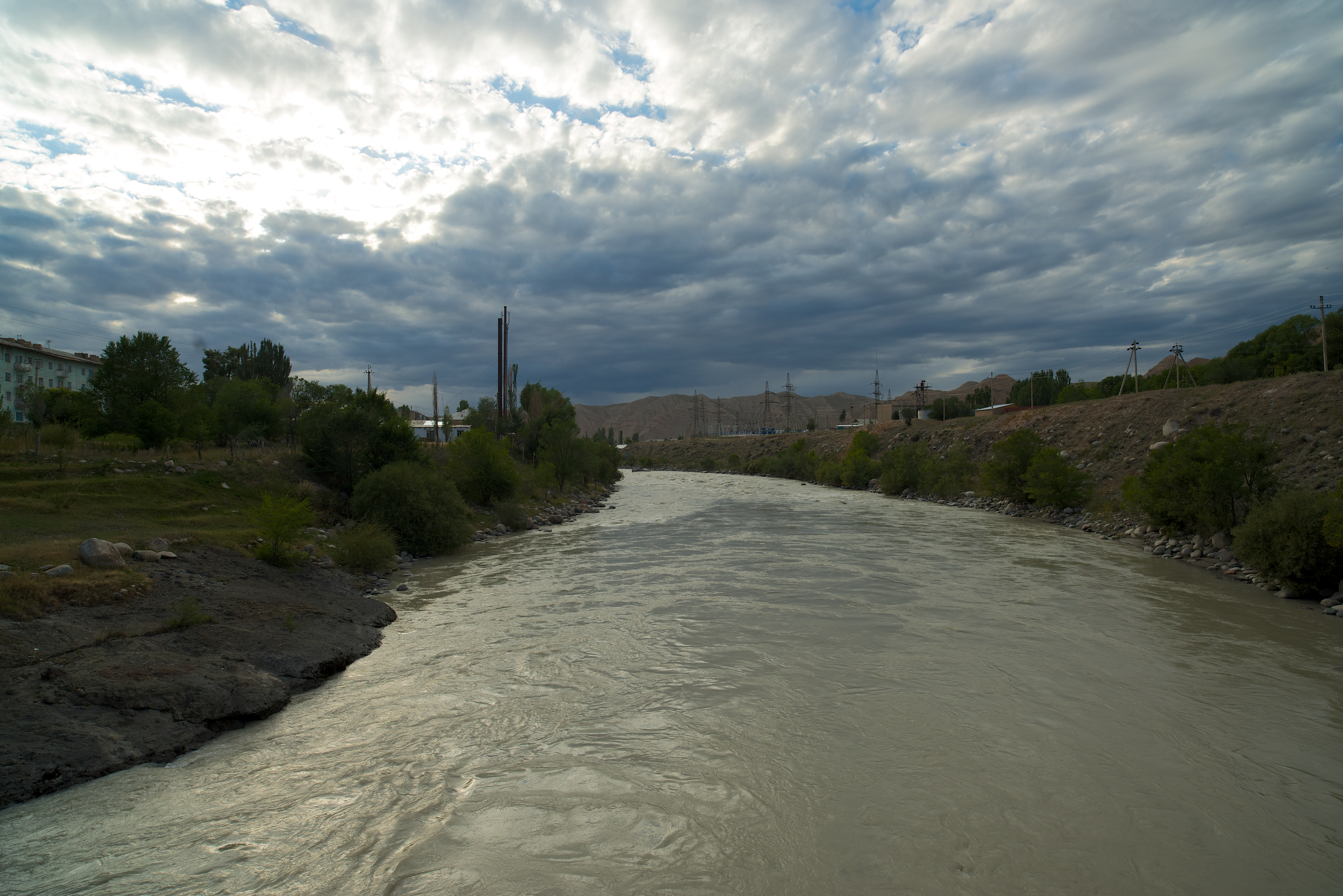
The Naryn River and mountains in Naryn, northern Tien Shan (Kyrgiz) / キルギス共和国中部,ナリン高地
Gate to Naryn
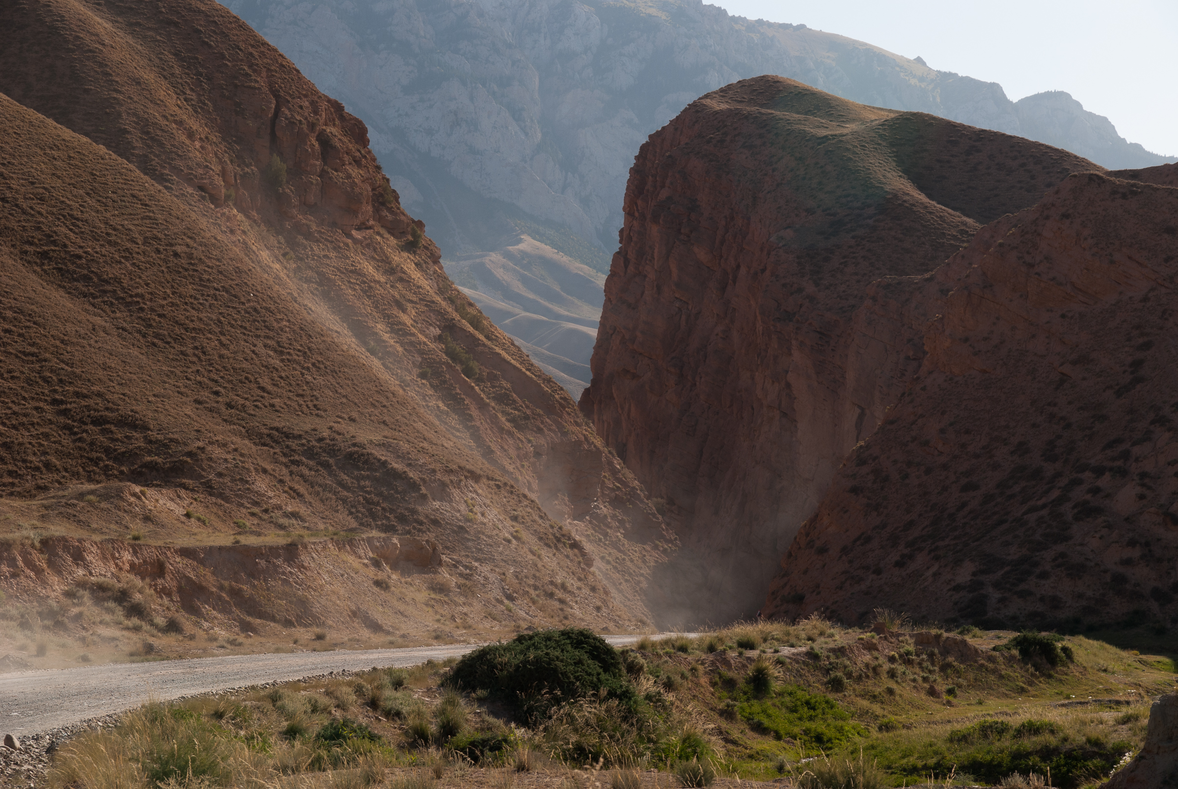
Road to Naryn .2
Naryn (1 of 11)

Naryn (11 of 11)
Topographic Map of Naryn District, Kyrgyzstan
Find elevation by address:

Places in Naryn District, Kyrgyzstan:
Places near Naryn District, Kyrgyzstan:
Naryn Region
Kochkor District
Song-kul
Tash-rabat
Tash-rabat
Tash Rabat Caravanserai
Kyzart
Pereval Tjilbel
Kyrgyzstan
Chaek
Recent Searches:
- Elevation of Crocker Dr, Vacaville, CA, USA
- Elevation of Pu Ngaol Community Meeting Hall, HWHM+3X7, Krong Saen Monourom, Cambodia
- Elevation of Royal Ontario Museum, Queens Park, Toronto, ON M5S 2C6, Canada
- Elevation of Groblershoop, South Africa
- Elevation of Power Generation Enterprises | Industrial Diesel Generators, Oak Ave, Canyon Country, CA, USA
- Elevation of Chesaw Rd, Oroville, WA, USA
- Elevation of N, Mt Pleasant, UT, USA
- Elevation of 6 Rue Jules Ferry, Beausoleil, France
- Elevation of Sattva Horizon, 4JC6+G9P, Vinayak Nagar, Kattigenahalli, Bengaluru, Karnataka, India
- Elevation of Great Brook Sports, Gold Star Hwy, Groton, CT, USA