Elevation of Chaek, Kyrgyzstan
Location: Kyrgyzstan > Naryn Region > Jumgal District >
Longitude: 74.5404694
Latitude: 41.9339521
Elevation: 1676m / 5499feet
Barometric Pressure: 83KPa
Elevation Map:
Satellite Map:
Related Photos:

Kirghizistan 2017

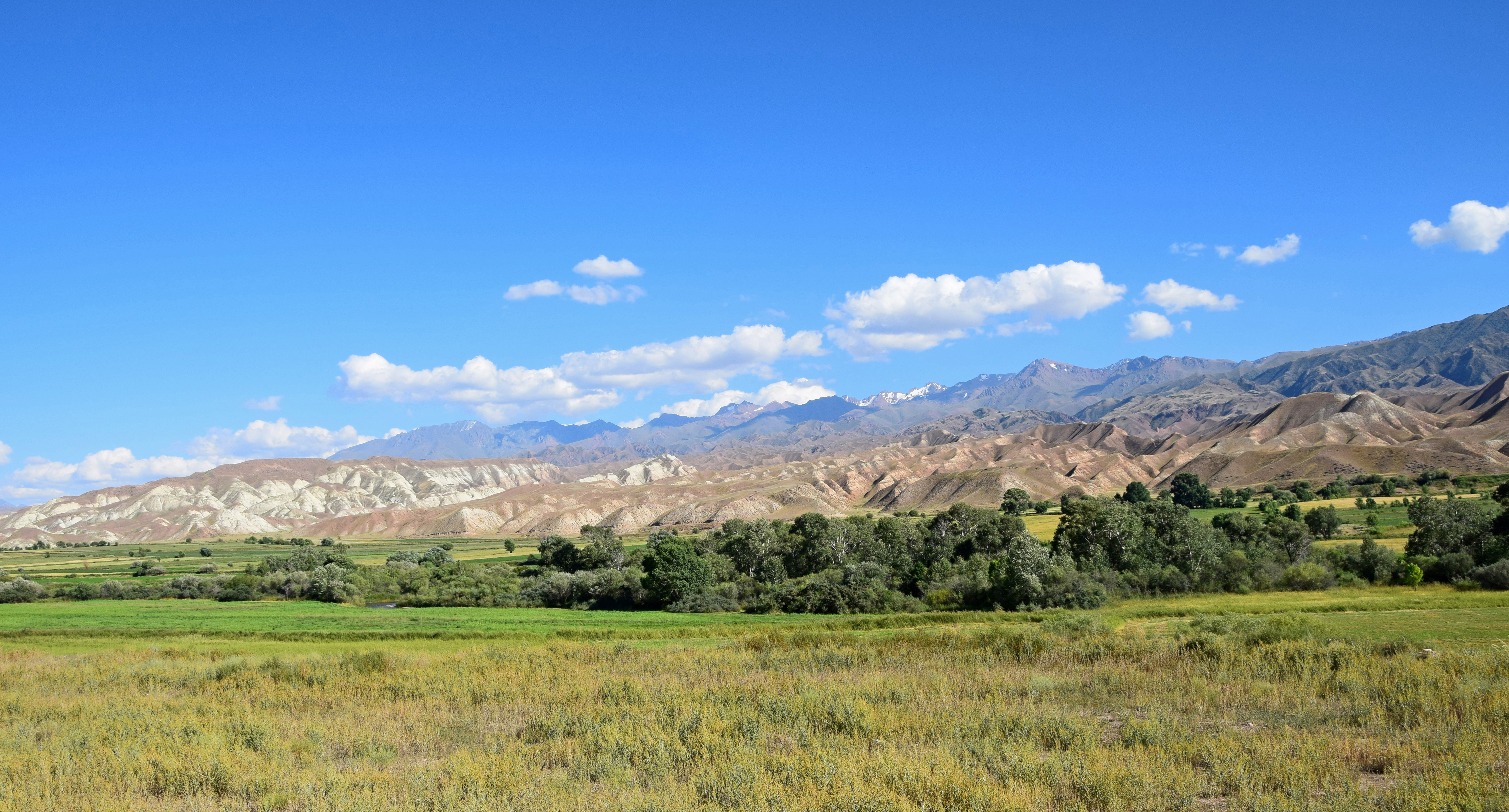
Tien-Shan Mountains

Rainy evening near Chaek
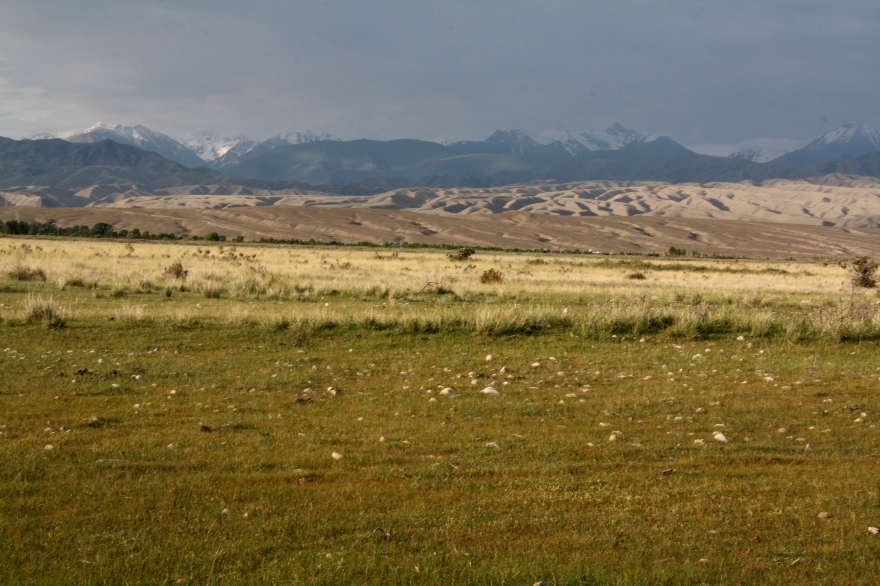
Rainclouds in Kyrgyzstan

Lo(oooo)ng uphill
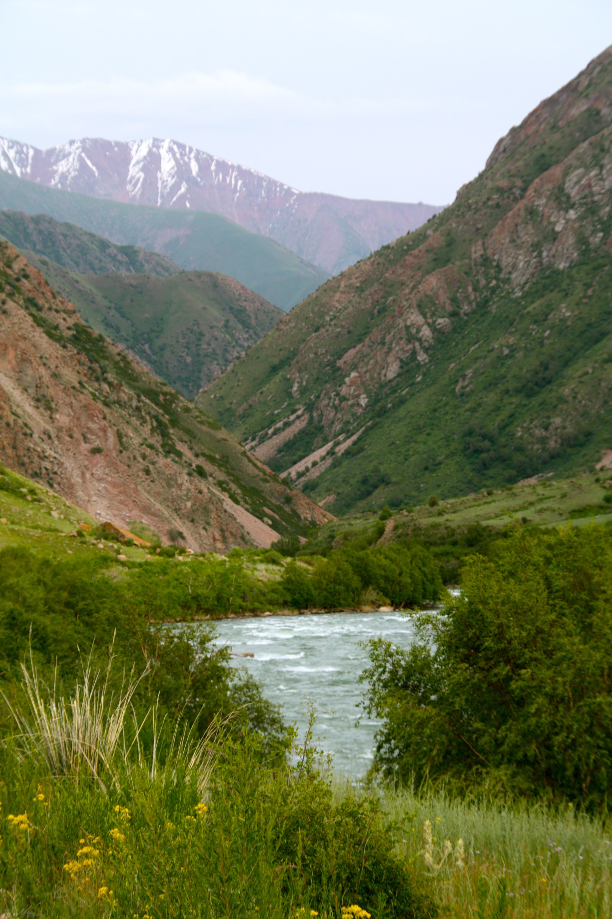
River and mountains in Kyrgyzstan
Kirghizistan 2017
Bivouac aux couleurs de l automne

Cemetery .4

At begin of Son-kul uphill
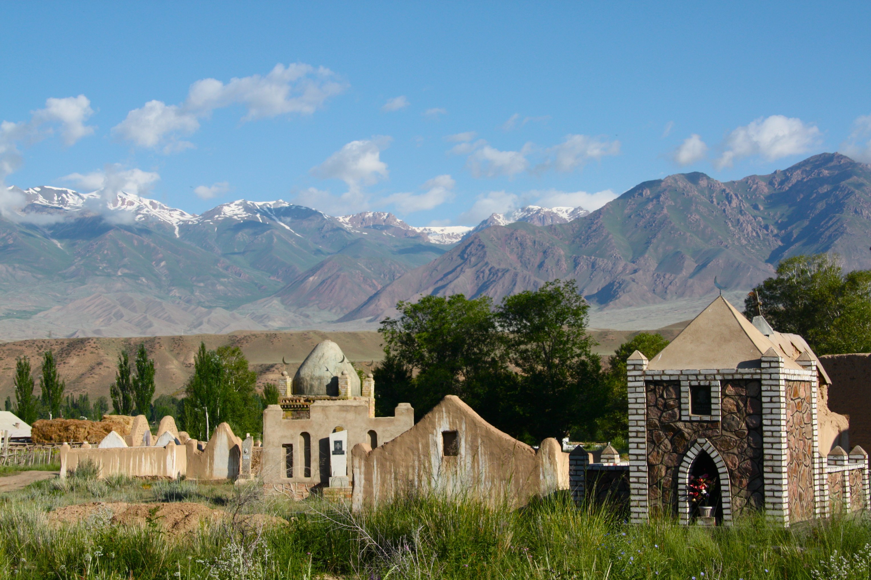
Kyrgyz cemetery
Topographic Map of Chaek, Kyrgyzstan
Find elevation by address:

Places near Chaek, Kyrgyzstan:
Pereval Tjilbel
Kyzart
Song-kul
Kyrgyzstan
Kochkor District
Naryn Region
Tash-rabat
Tash-rabat
Tash Rabat Caravanserai
Naryn District
Recent Searches:
- Elevation of Crocker Dr, Vacaville, CA, USA
- Elevation of Pu Ngaol Community Meeting Hall, HWHM+3X7, Krong Saen Monourom, Cambodia
- Elevation of Royal Ontario Museum, Queens Park, Toronto, ON M5S 2C6, Canada
- Elevation of Groblershoop, South Africa
- Elevation of Power Generation Enterprises | Industrial Diesel Generators, Oak Ave, Canyon Country, CA, USA
- Elevation of Chesaw Rd, Oroville, WA, USA
- Elevation of N, Mt Pleasant, UT, USA
- Elevation of 6 Rue Jules Ferry, Beausoleil, France
- Elevation of Sattva Horizon, 4JC6+G9P, Vinayak Nagar, Kattigenahalli, Bengaluru, Karnataka, India
- Elevation of Great Brook Sports, Gold Star Hwy, Groton, CT, USA