Elevation of Napf, Trub, Switzerland
Location: Switzerland > Canton Of Bern > Signau > Trub >
Longitude: 7.9404157
Latitude: 47.0037307
Elevation: 1403m / 4603feet
Barometric Pressure: 86KPa
Elevation Map:
Satellite Map:
Related Photos:
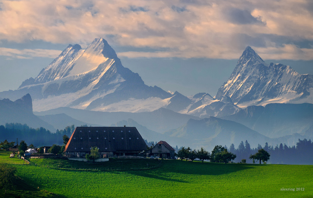
The Haunted View

Snowless Schimbrig
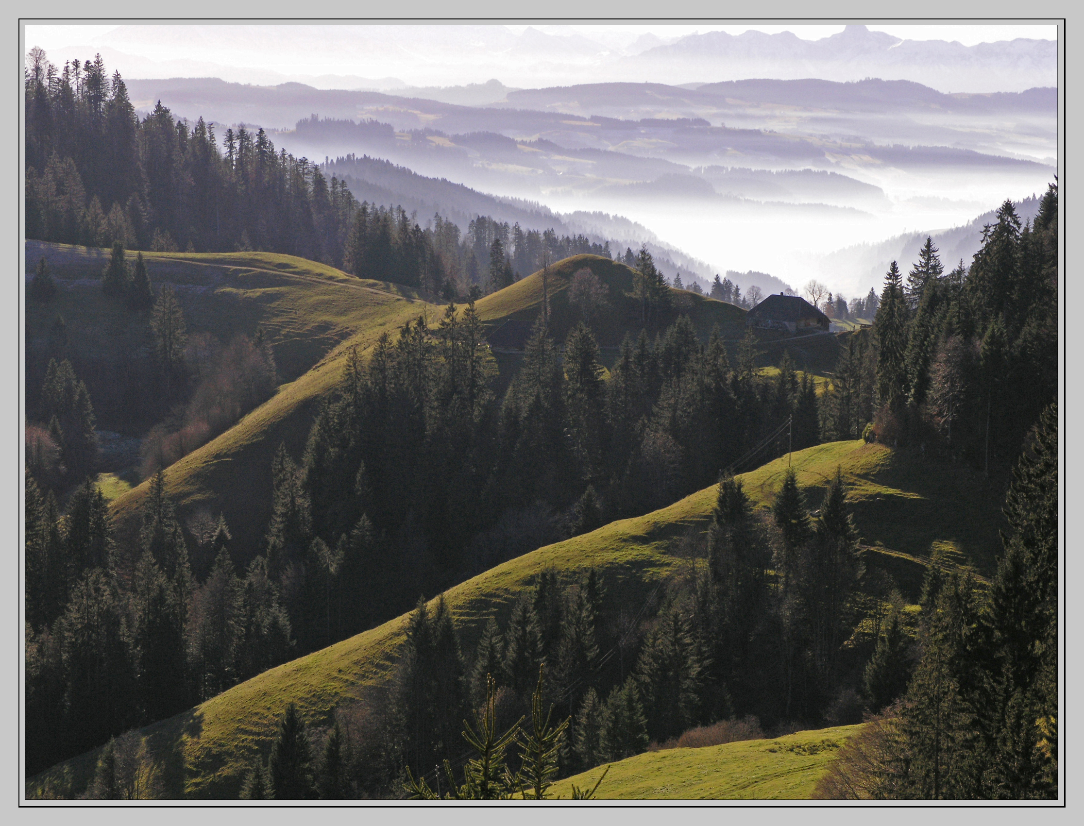
Emmental (switzerland)

Frustrated Ambitions

Schrattenfluh II

Entlebuch At Dusk

Schrattenfluh I

Pilatus II
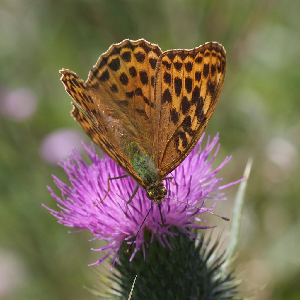
Silver-washed Fritillary (Argynnis paphia)

Panorama Fürstein IV

R0033458-3

Pilatus III

Schrattenfluh III

Panorama Fürstein V

Panorama Fürstein II

Pilatus I

Panorama Fürstein I

Blüemlisalp
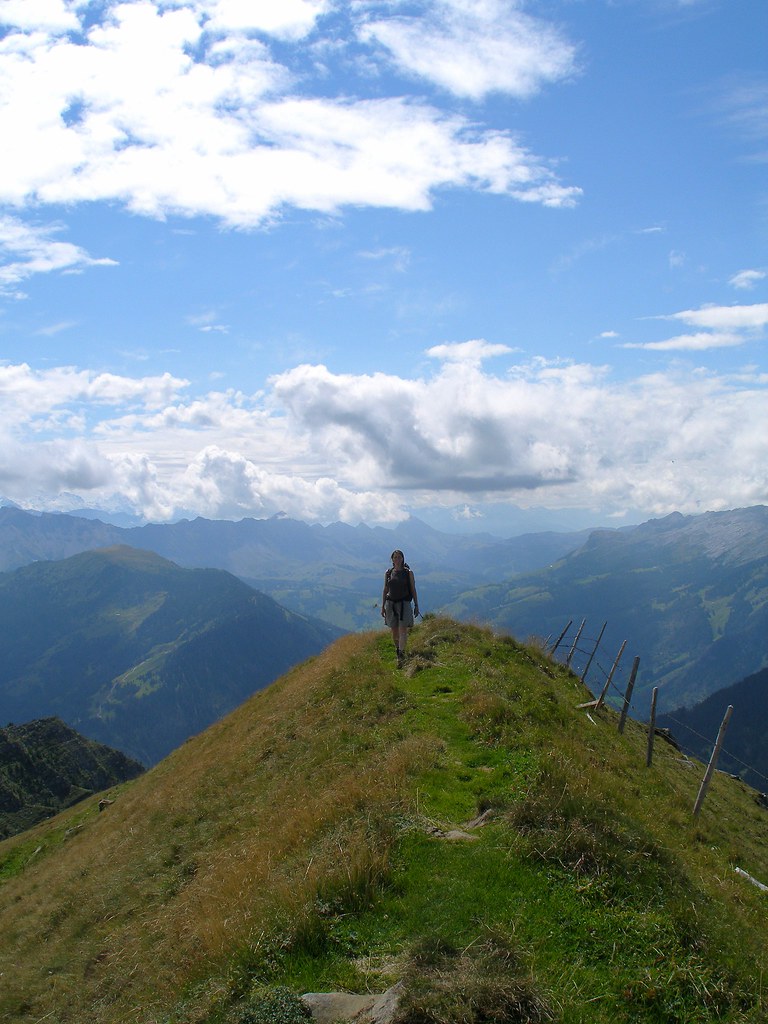
Switzerland, hiking in a new wolf refuge, Fürstein (Obwalden/Lucerne), view to Entlebuch

R0033479-3

Panorama Fürstein III
Topographic Map of Napf, Trub, Switzerland
Find elevation by address:

Places near Napf, Trub, Switzerland:
Hintersäge 2, Hergiswil bei Willisau, Switzerland
Hergiswil Bei Willisau
Trub
Schüpfheim
Entlebuch District
Beichle
Hasle
Eriswil
Farneren
Trubschachen
Willisau
Willisau
Willisau District
Wyssachen
Neuhus
Huttwil
Flühli
Wolhusen
Trachselwald District
Widen 3, Rengg, Switzerland
Recent Searches:
- Elevation of Corso Fratelli Cairoli, 35, Macerata MC, Italy
- Elevation of Tallevast Rd, Sarasota, FL, USA
- Elevation of 4th St E, Sonoma, CA, USA
- Elevation of Black Hollow Rd, Pennsdale, PA, USA
- Elevation of Oakland Ave, Williamsport, PA, USA
- Elevation of Pedrógão Grande, Portugal
- Elevation of Klee Dr, Martinsburg, WV, USA
- Elevation of Via Roma, Pieranica CR, Italy
- Elevation of Tavkvetili Mountain, Georgia
- Elevation of Hartfords Bluff Cir, Mt Pleasant, SC, USA