Elevation of Beichle, Flühli, Switzerland
Location: Switzerland > Lucerne > Entlebuch District > Flühli >
Longitude: 7.97319
Latitude: 46.8976
Elevation: 1758m / 5768feet
Barometric Pressure: 82KPa
Elevation Map:
Satellite Map:
Related Photos:

Snowless Schimbrig
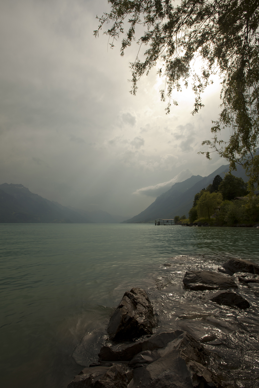
before the storm

A Different View

Frustrated Ambitions

Pastel Colours After Sunset

Schrattenfluh II
Switzerland, "Huesli" balcony view, Bernese Alps, Rosenlaui-Glacier, Rosenhorn, Mittelhorn, Wetterhorn

Edge Of The World

Schrattenfluh I

Pilatus II

View Of The Sörenberg Mountain Range

Driving to the stars

Panorama Fürstein IV

Echoes Of The Living

R0033458-3

Schrattenfluh III

Panorama Fürstein V

Panorama Fürstein II

Pilatus I

Driving to the stars

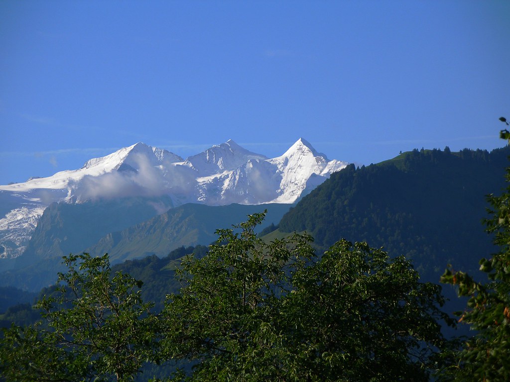
Blüemlisalp
Topographic Map of Beichle, Flühli, Switzerland
Find elevation by address:

Places near Beichle, Flühli, Switzerland:
Entlebuch District
Flühli
Neuhus
Schrattenfluh
Marbach
Marbachegg
Grosshorben, Eggiwil, Switzerland
Hohgant
Trubschachen
Brienzer Rothorn
Schangnau
Langachristrasse 21
Schwanden Bei Brienz
Jodershubel
Eggiwil
Signau
Honegg
Eriz
Röthenbach Im Emmental
Horrenbach-buchen
Recent Searches:
- Elevation of Corso Fratelli Cairoli, 35, Macerata MC, Italy
- Elevation of Tallevast Rd, Sarasota, FL, USA
- Elevation of 4th St E, Sonoma, CA, USA
- Elevation of Black Hollow Rd, Pennsdale, PA, USA
- Elevation of Oakland Ave, Williamsport, PA, USA
- Elevation of Pedrógão Grande, Portugal
- Elevation of Klee Dr, Martinsburg, WV, USA
- Elevation of Via Roma, Pieranica CR, Italy
- Elevation of Tavkvetili Mountain, Georgia
- Elevation of Hartfords Bluff Cir, Mt Pleasant, SC, USA