Elevation of Napanee Rd, Leland, MS, USA
Location: United States > Mississippi > Washington County > Leland >
Longitude: -90.869861
Latitude: 33.505332
Elevation: 38m / 125feet
Barometric Pressure: 101KPa
Elevation Map:
Satellite Map:
Related Photos:
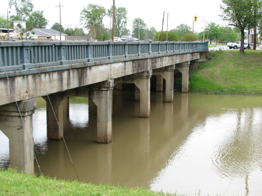
Deer Creek Bridge-Side View
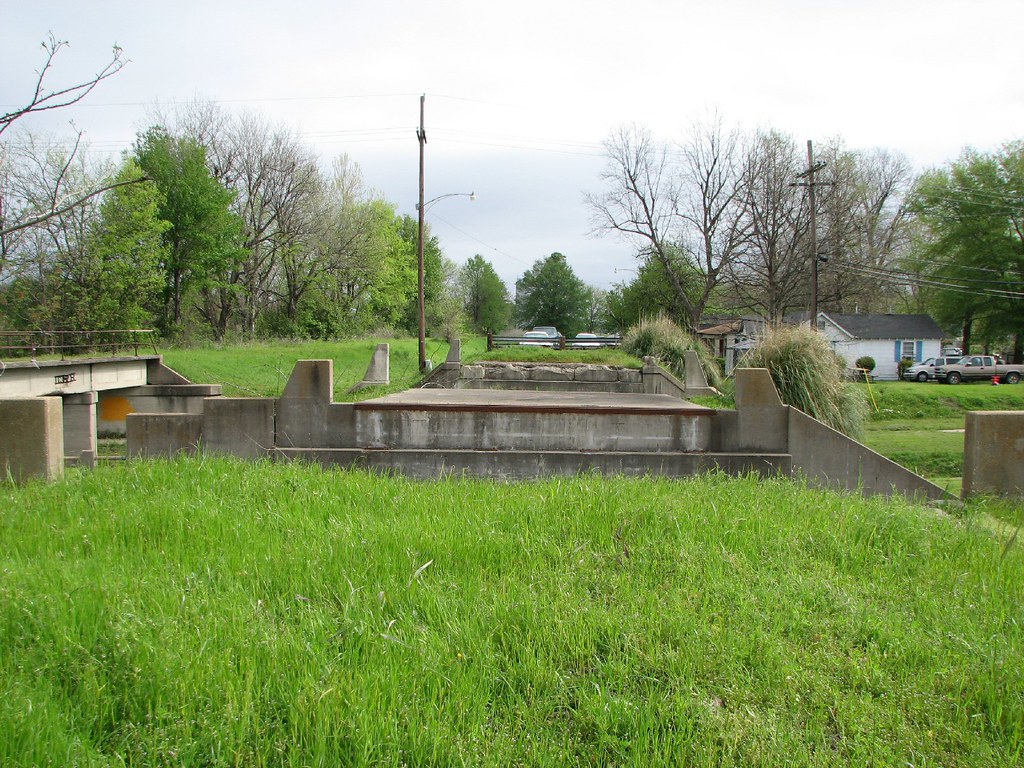
Old 61 Bridge-Deck View

Great River Railroad?

angular wingtips
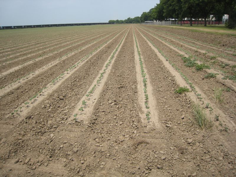
Slow start, May 25
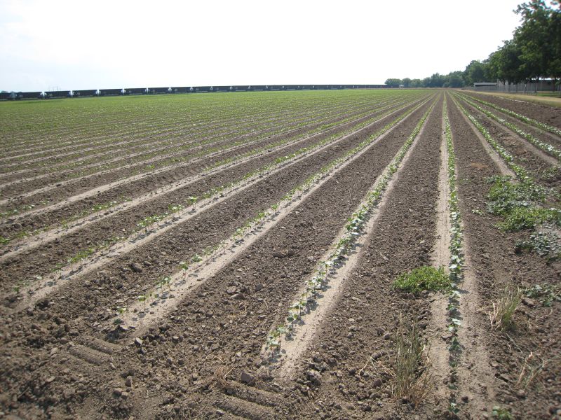
Cotton after growing more, May 31
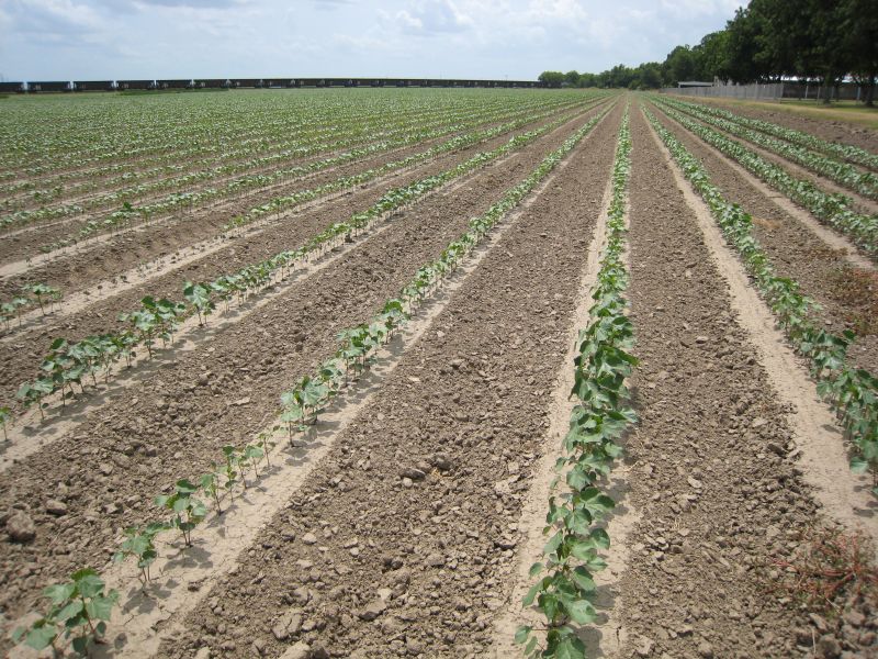
The cotton field
ZoneTag Photo Thursday 11:38:44

All Photos-2515

Henson Puppet

I'm pretty sure that getting specimens in the mail is like the best non holiday ever! #entomology

Someone decorated my office for #aprilfools

Leland,MS
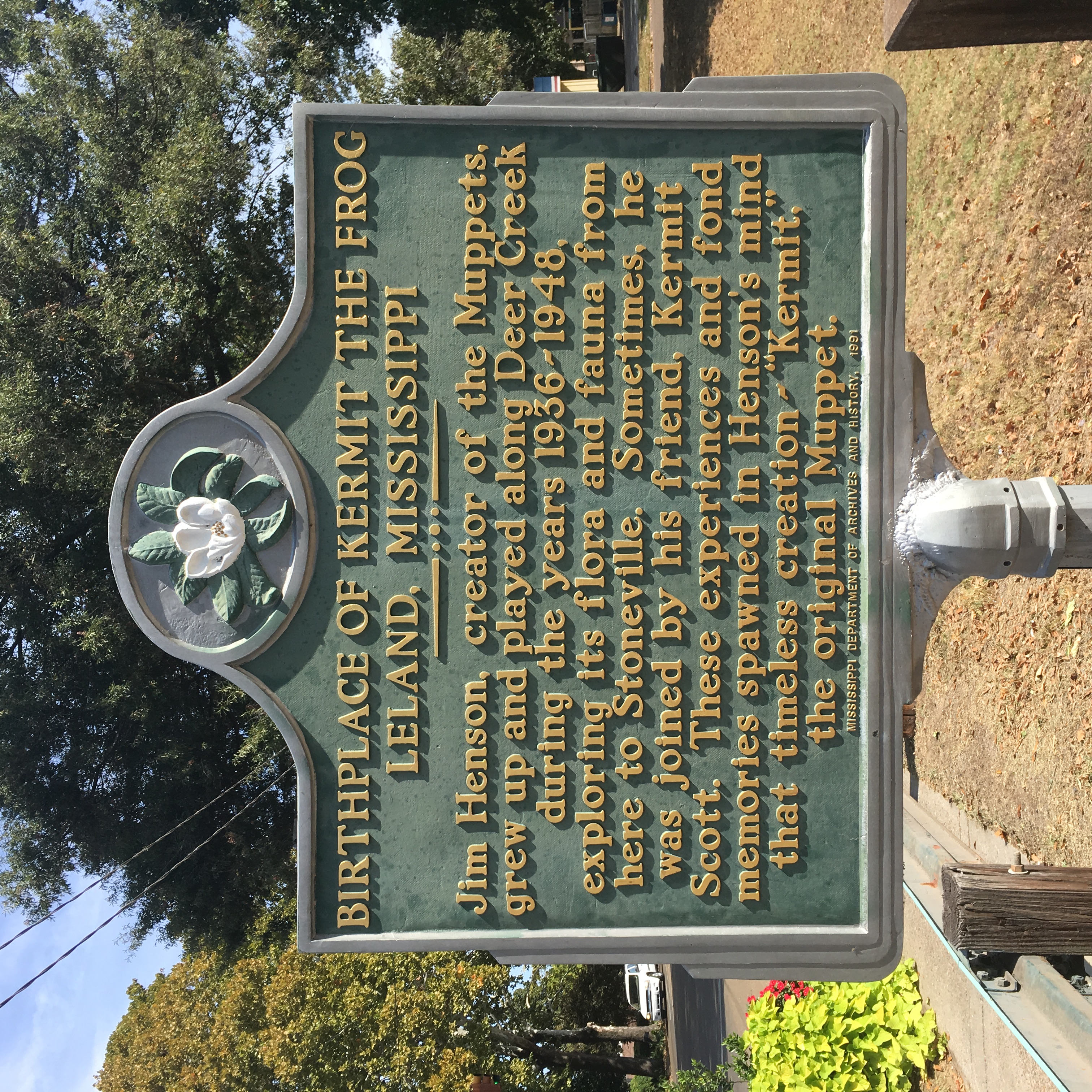
Kermit the Frog

All Photos-2517

All Photos-2516

All Photos-2514

All Photos-2513

All Photos-2512

All Photos-2511

All Photos-2510

All Photos-2508

All Photos-2507

#DSRR #DeltaSouthern #CF7 Talla Bena, LA

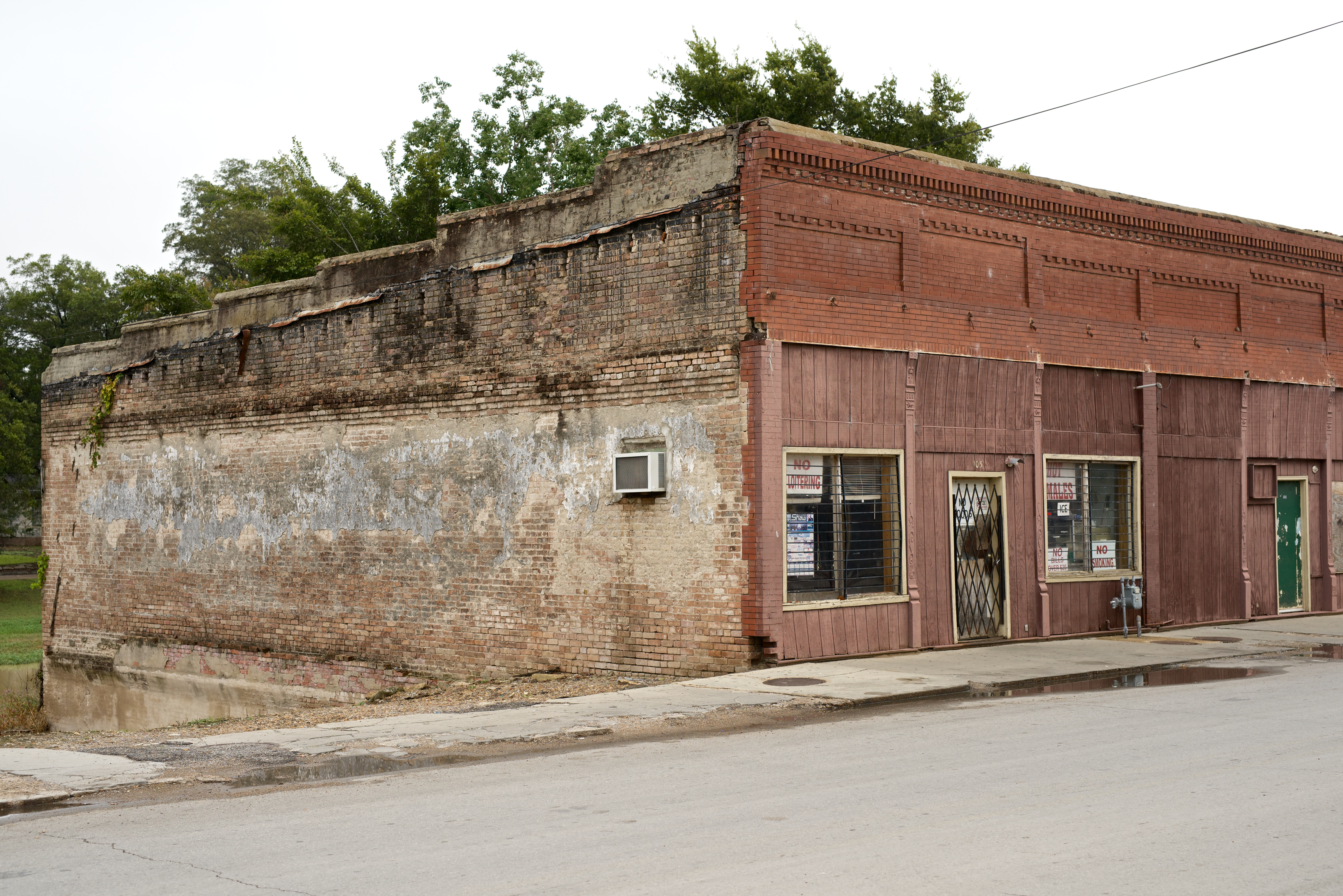
File under Only in the Delta!

CozyCornerShaw10-2014 150

DeltaFarmEquipment10-2014 145

Shaw 174
Shaw 175
Topographic Map of Napanee Rd, Leland, MS, USA
Find elevation by address:

Places near Napanee Rd, Leland, MS, USA:
243 Rexburg Rd
Leland
119 Lilac Dr
54 Dunleith Rd, Leland, MS, USA
3864 Us-82
221 Woodman Of The World Rd
570 Solomon St
Blaylock Rd, Greenville, MS, USA
Provenza Road
Sunflower County
Greenville
Nelson Street
MS-, Boyle, MS, USA
Cherry St, Greenville, MS, USA
Trop Casino Greenville
128 S Walnut St
Washington County
Lee St, Indianola, MS, USA
Indianola
355 Crescent St
Recent Searches:
- Elevation of Corso Fratelli Cairoli, 35, Macerata MC, Italy
- Elevation of Tallevast Rd, Sarasota, FL, USA
- Elevation of 4th St E, Sonoma, CA, USA
- Elevation of Black Hollow Rd, Pennsdale, PA, USA
- Elevation of Oakland Ave, Williamsport, PA, USA
- Elevation of Pedrógão Grande, Portugal
- Elevation of Klee Dr, Martinsburg, WV, USA
- Elevation of Via Roma, Pieranica CR, Italy
- Elevation of Tavkvetili Mountain, Georgia
- Elevation of Hartfords Bluff Cir, Mt Pleasant, SC, USA