Elevation of 54 Dunleith Rd, Leland, MS, USA
Location: United States > Mississippi > Washington County > Leland >
Longitude: -90.834992
Latitude: 33.400249
Elevation: 36m / 118feet
Barometric Pressure: 101KPa
Elevation Map:
Satellite Map:
Related Photos:
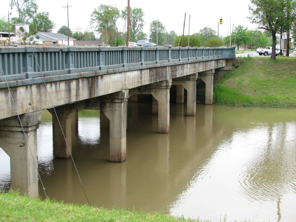
Deer Creek Bridge-Side View
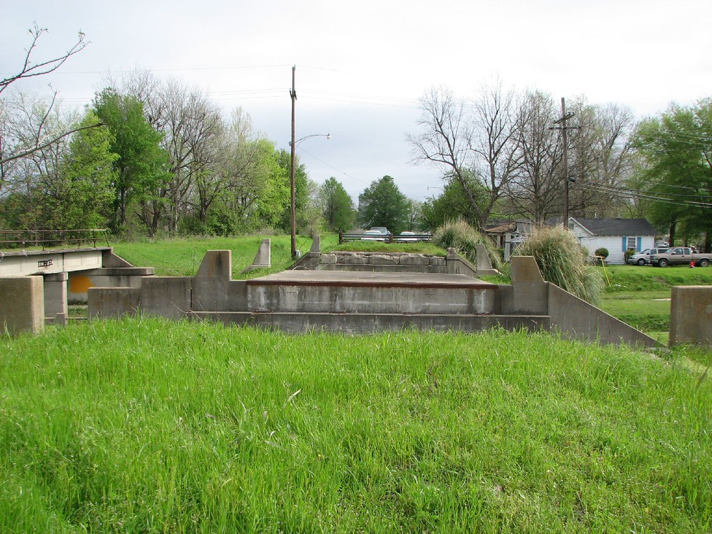
Old 61 Bridge-Deck View
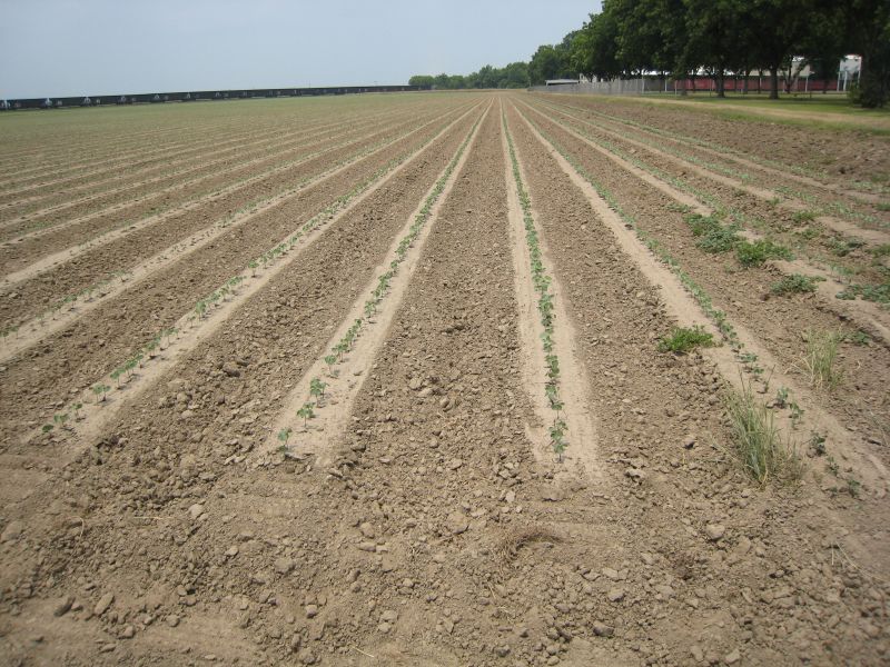
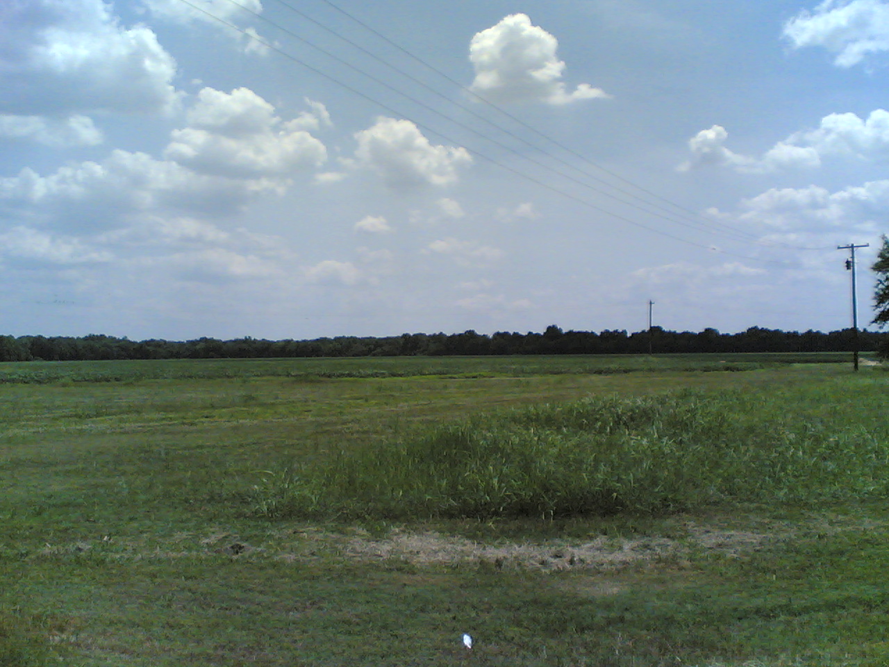
Slow start, May 25
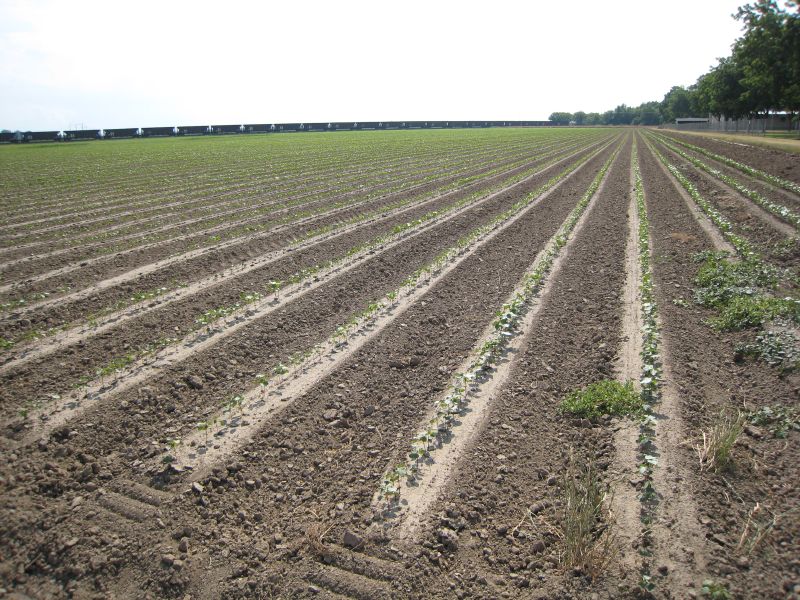
Cotton after growing more, May 31
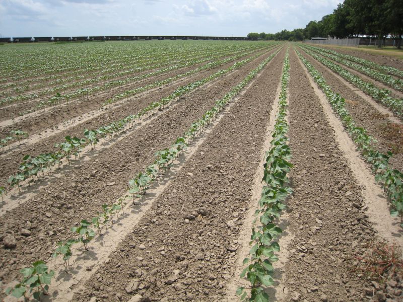
The cotton field
ZoneTag Photo Thursday 11:38:44

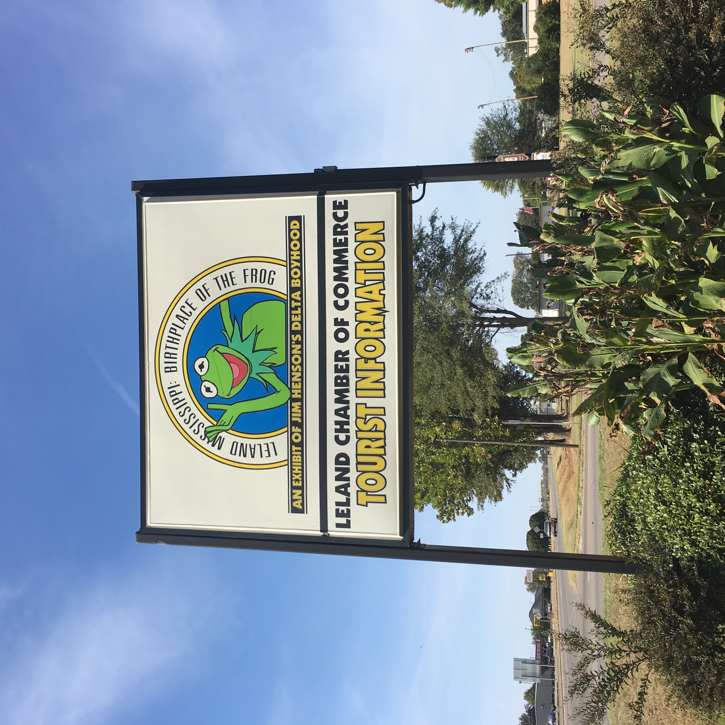
Froschland / Home of the Frog
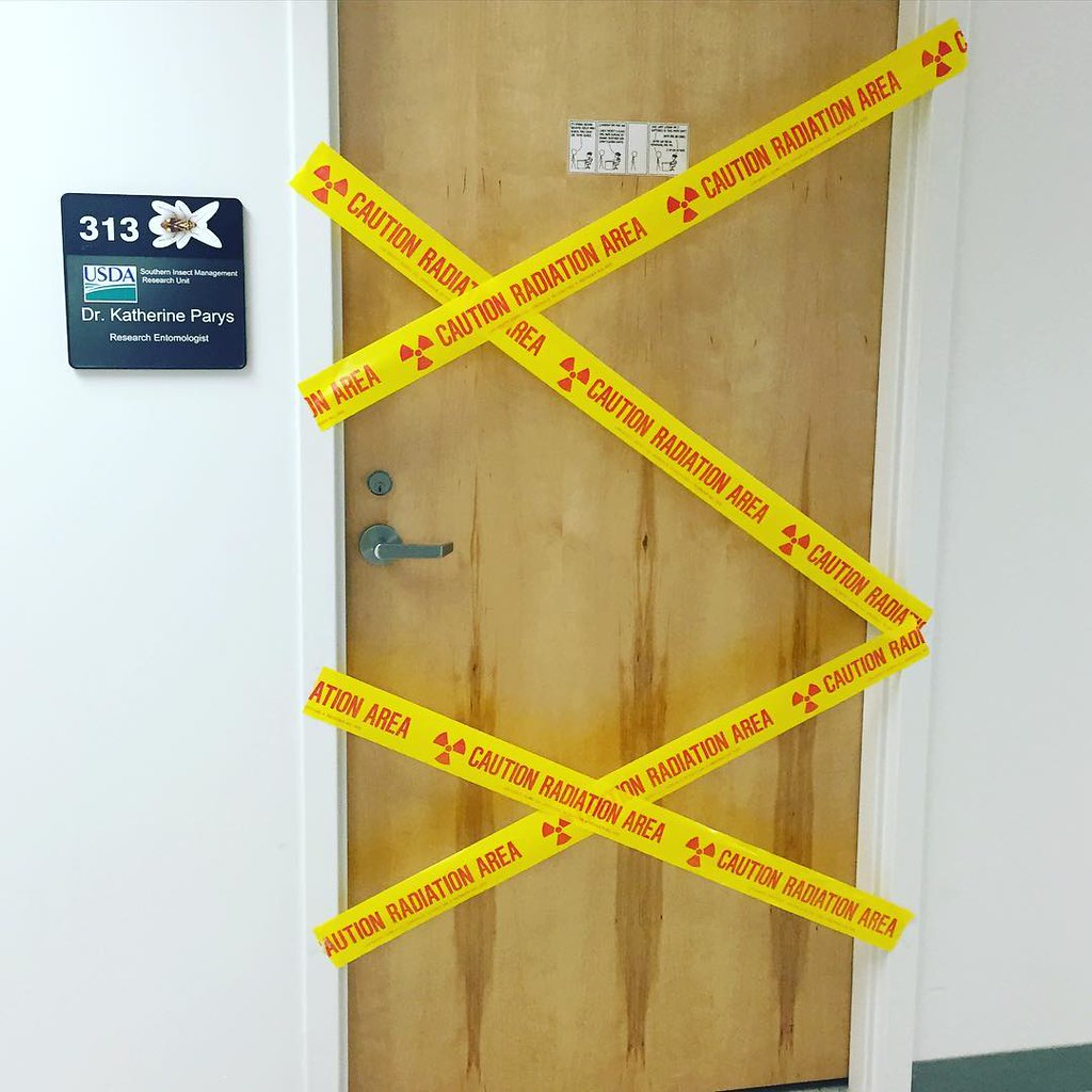
Someone decorated my office for #aprilfools

American Red Cross Greenville MS

Greenville Mississippi Ladder
Leland,MS
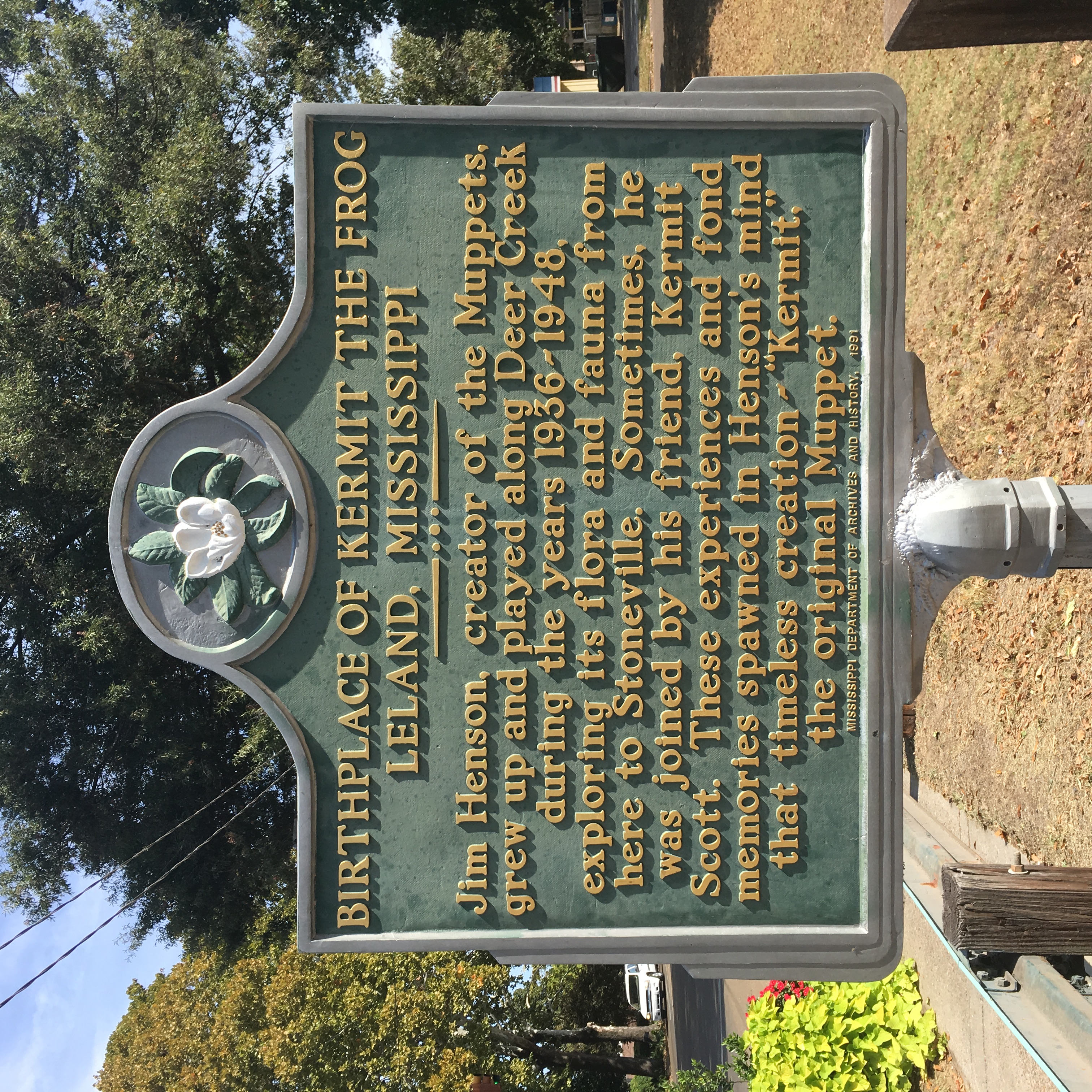
Kermit the Frog

All Photos-2517

All Photos-2516

All Photos-2515

All Photos-2514

All Photos-2513

All Photos-2512

All Photos-2511

All Photos-2510

All Photos-2508

All Photos-2507

#DSRR #DeltaSouthern #CF7 Talla Bena, LA

Henson Puppet

File under Only in the Delta!

Loose bolls

Cotton branch
Topographic Map of 54 Dunleith Rd, Leland, MS, USA
Find elevation by address:

Places near 54 Dunleith Rd, Leland, MS, USA:
243 Rexburg Rd
119 Lilac Dr
Leland
Napanee Rd, Leland, MS, USA
3864 Us-82
2045 Old Hwy 61
MS-, Leland, MS, USA
110 Main St
Washington County
221 Woodman Of The World Rd
Avon-Darlove Rd, Hollandale, MS, USA
Lee St, Indianola, MS, USA
Indianola
570 Solomon St
Sunflower County
Greenville
Sandifer Rd, Hollandale, MS, USA
Provenza Road
Nelson Street
Cherry St, Greenville, MS, USA
Recent Searches:
- Elevation of Corso Fratelli Cairoli, 35, Macerata MC, Italy
- Elevation of Tallevast Rd, Sarasota, FL, USA
- Elevation of 4th St E, Sonoma, CA, USA
- Elevation of Black Hollow Rd, Pennsdale, PA, USA
- Elevation of Oakland Ave, Williamsport, PA, USA
- Elevation of Pedrógão Grande, Portugal
- Elevation of Klee Dr, Martinsburg, WV, USA
- Elevation of Via Roma, Pieranica CR, Italy
- Elevation of Tavkvetili Mountain, Georgia
- Elevation of Hartfords Bluff Cir, Mt Pleasant, SC, USA