Elevation of Nalgonda, Telangana, India
Location: India > Telangana > Nalgonda >
Longitude: 79.2620294
Latitude: 17.0575707
Elevation: 379m / 1243feet
Barometric Pressure: 97KPa
Elevation Map:
Satellite Map:
Related Photos:
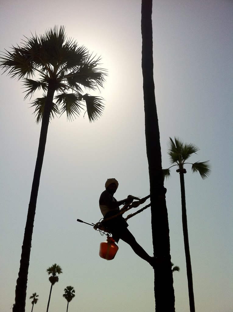
HWS Pochampally (iPhone) - 031

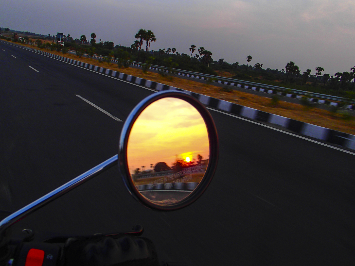
Lunch stop along the highway.

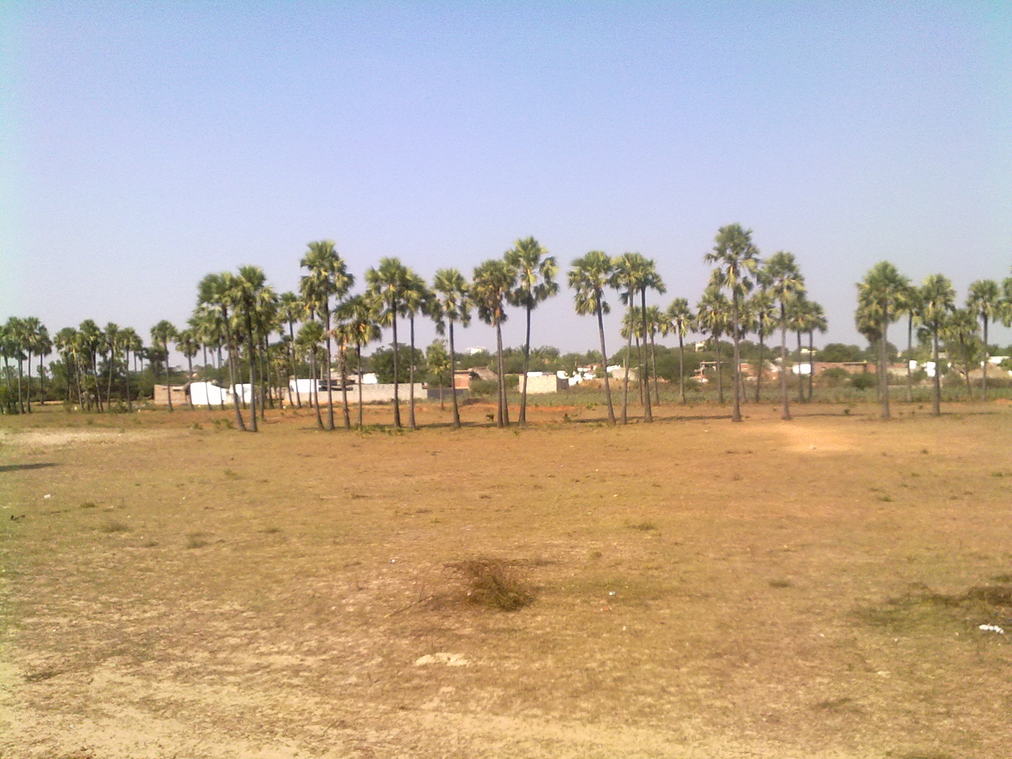
Lambadi children in Nalgonda, Telangana.

2012-12-21_17h34m57s
2012-12-21_17h32m21s
2012-12-21_17h33m05s
2012-12-21_17h34m57s

Challenging Photo
29/01/2010
Topographic Map of Nalgonda, Telangana, India
Find elevation by address:

Places near Nalgonda, Telangana, India:
Marriguda
Nalgonda
Bus Station Suryapet
Manasa Nagar
Suryapet
Gundala
Tungaturthi
Aler
Aler
Palakurthy
Maryala Lake
Palakurthi Someshwar Lakshmi Narasimha Temple
Narmetta
Mudigonda
Jagdevpur
Maddur
Srinivas Nagar
Srinivasa Nagar
Kesamudram
Khammam Bus Station
Recent Searches:
- Elevation of 6 Rue Jules Ferry, Beausoleil, France
- Elevation of Sattva Horizon, 4JC6+G9P, Vinayak Nagar, Kattigenahalli, Bengaluru, Karnataka, India
- Elevation of Great Brook Sports, Gold Star Hwy, Groton, CT, USA
- Elevation of 10 Mountain Laurels Dr, Nashua, NH, USA
- Elevation of 16 Gilboa Ln, Nashua, NH, USA
- Elevation of Laurel Rd, Townsend, TN, USA
- Elevation of 3 Nestling Wood Dr, Long Valley, NJ, USA
- Elevation of Ilungu, Tanzania
- Elevation of Yellow Springs Road, Yellow Springs Rd, Chester Springs, PA, USA
- Elevation of Rēzekne Municipality, Latvia