Elevation of Jagdevpur, Telangana, India
Location: India > Telangana > Medak >
Longitude: 78.8085311
Latitude: 17.7687975
Elevation: 547m / 1795feet
Barometric Pressure: 95KPa
Elevation Map:
Satellite Map:
Related Photos:
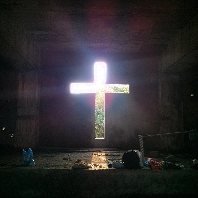
My uncle is the director of a school in Hyderabad which takes in orphans and children from broken homes. A chapel is being built so the children have a place to pray instead of underneath the scorching sun.
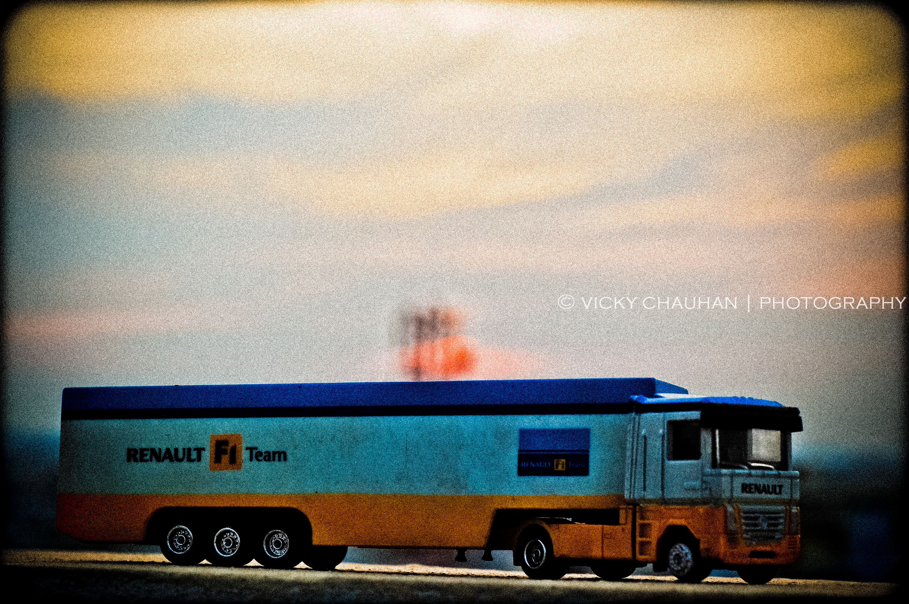
RENAULT !!
Topographic Map of Jagdevpur, Telangana, India
Find elevation by address:

Places near Jagdevpur, Telangana, India:
Maryala Lake
Cherial
Aler
Aler
Maddur
Siddipet
Narmetta
Nangnoor
Chinna Kodur
Telangana
Palakurthi Someshwar Lakshmi Narasimha Temple
Koheda
Husnabad
Gundala
Palakurthy
Dharmasagar
Dharmasagar Lake
Nalgonda
Marriguda
Warangal
Recent Searches:
- Elevation of Lampiasi St, Sarasota, FL, USA
- Elevation of Elwyn Dr, Roanoke Rapids, NC, USA
- Elevation of Congressional Dr, Stevensville, MD, USA
- Elevation of Bellview Rd, McLean, VA, USA
- Elevation of Stage Island Rd, Chatham, MA, USA
- Elevation of Shibuya Scramble Crossing, 21 Udagawacho, Shibuya City, Tokyo -, Japan
- Elevation of Jadagoniai, Kaunas District Municipality, Lithuania
- Elevation of Pagonija rock, Kranto 7-oji g. 8"N, Kaunas, Lithuania
- Elevation of Co Rd 87, Jamestown, CO, USA
- Elevation of Tenjo, Cundinamarca, Colombia