Elevation map of Nagaland, India
Location: India >
Longitude: 94.5624426
Latitude: 26.1584354
Elevation: 1334m / 4377feet
Barometric Pressure: 86KPa
Elevation Map:
Satellite Map:
Related Photos:

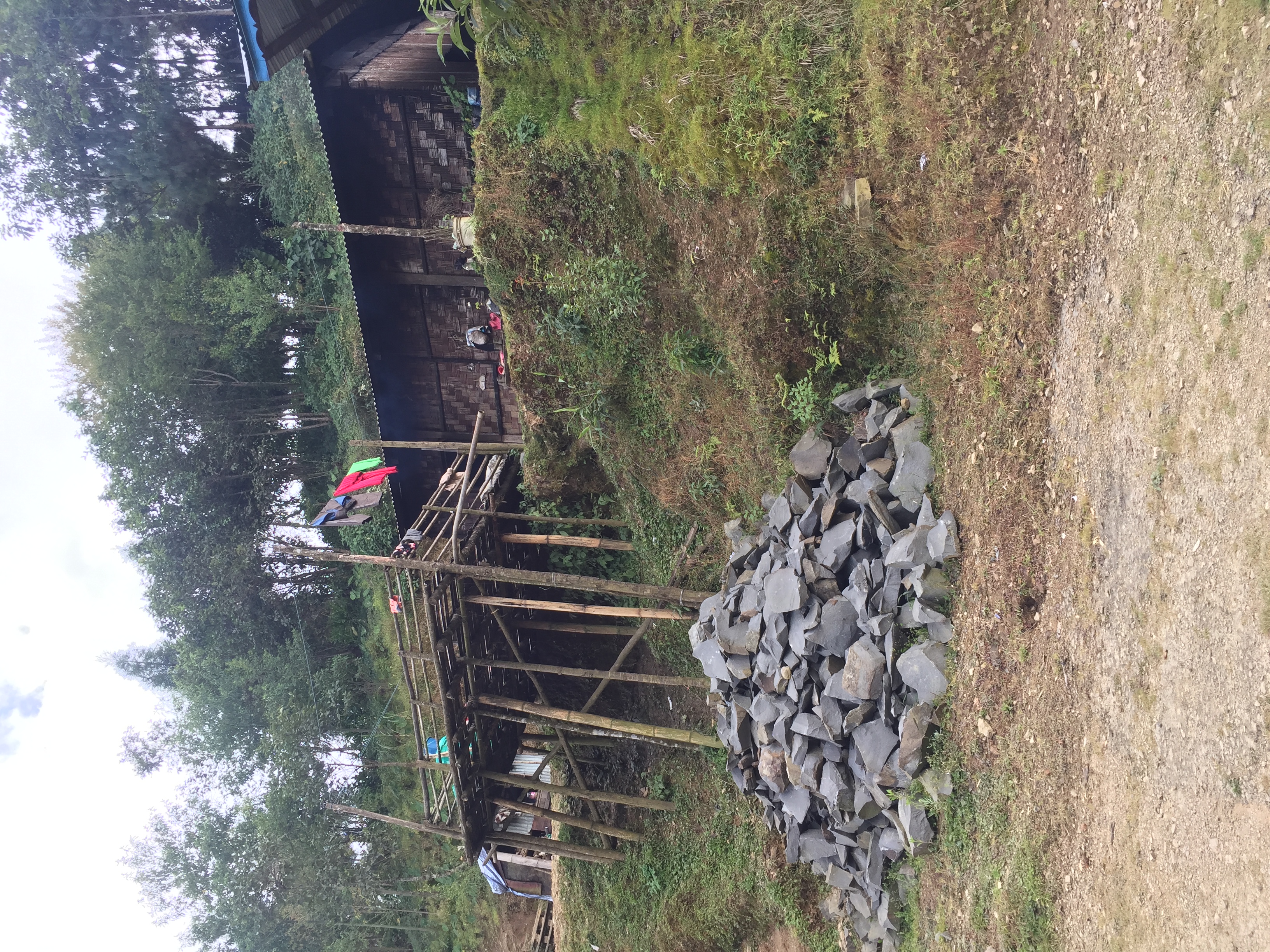
IMG_4816

IMG_4679

IMG_4680

IMG_4685

IMG_4764

IMG_4779

IMG_4796
IMG_4808

IMG_4812

IMG_4821

IMG_4822

IMG_4825

IMG_4830

IMG_4835

IMG_4844

IMG_4937

IMG_4946

IMG_4945

IMG_4959

IMG_4960

IMG_4961

IMG_4965
Topographic Map of Nagaland, India
Find elevation by address:

Places in Nagaland, India:
Places near Nagaland, India:
Recent Searches:
- Elevation of Bydgoszcz, Poland
- Elevation of Bydgoszcz, Poland
- Elevation of Calais Dr, Del Mar, CA, USA
- Elevation of Placer Mine Ln, West Jordan, UT, USA
- Elevation of E 63rd St, New York, NY, USA
- Elevation of Elk City, OK, USA
- Elevation of Erika Dr, Windsor, CA, USA
- Elevation of Village Ln, Finleyville, PA, USA
- Elevation of 24 Oakland Rd #, Scotland, ON N0E 1R0, Canada
- Elevation of Deep Gap Farm Rd E, Mill Spring, NC, USA