Elevation of Naftel Rd, Lapine, AL, USA
Location: United States > Alabama > Crenshaw County > Lapine >
Longitude: -86.287862
Latitude: 32.009207
Elevation: 159m / 522feet
Barometric Pressure: 99KPa
Elevation Map:
Satellite Map:
Related Photos:

Big Cows
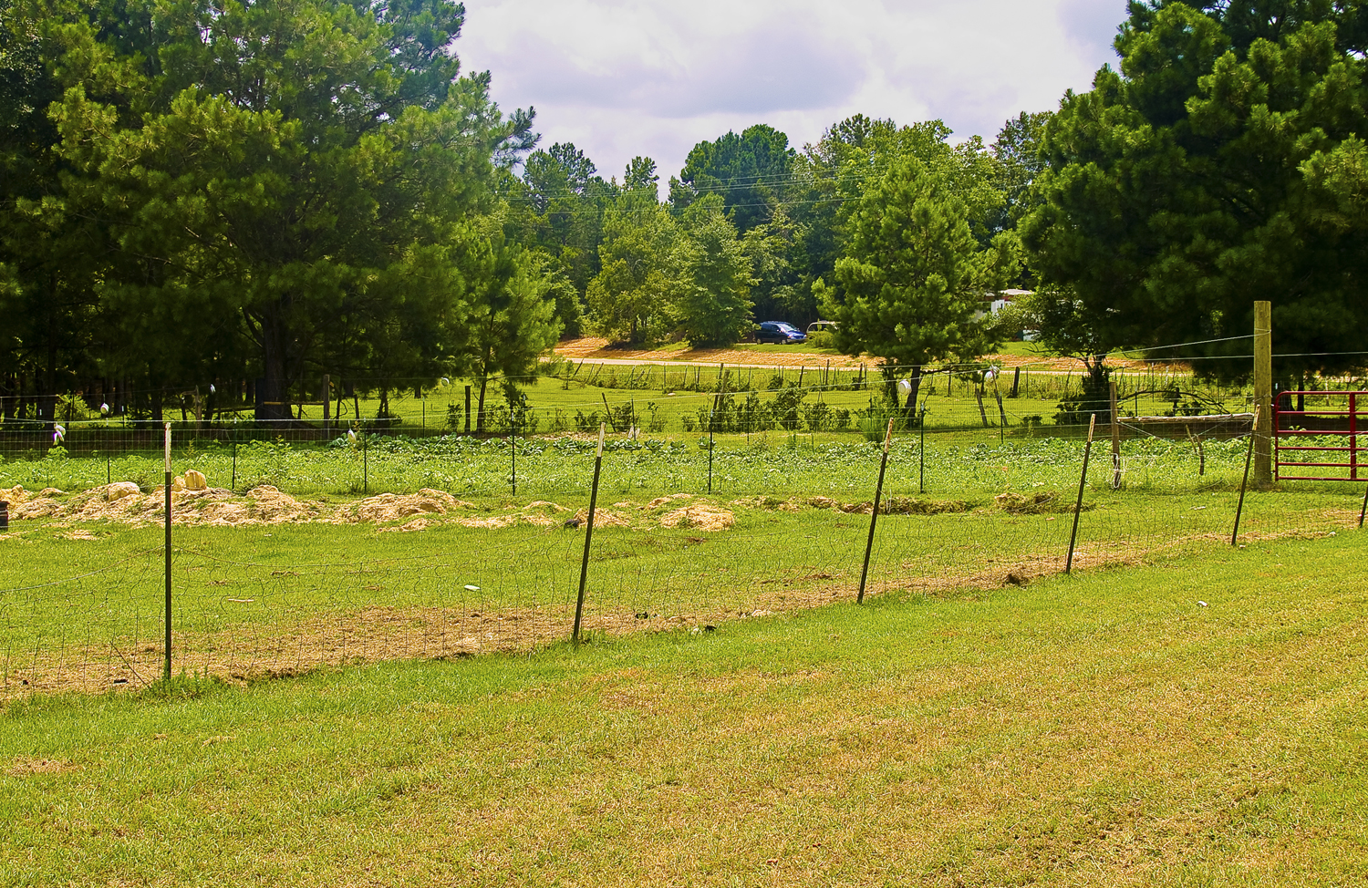
Open Field
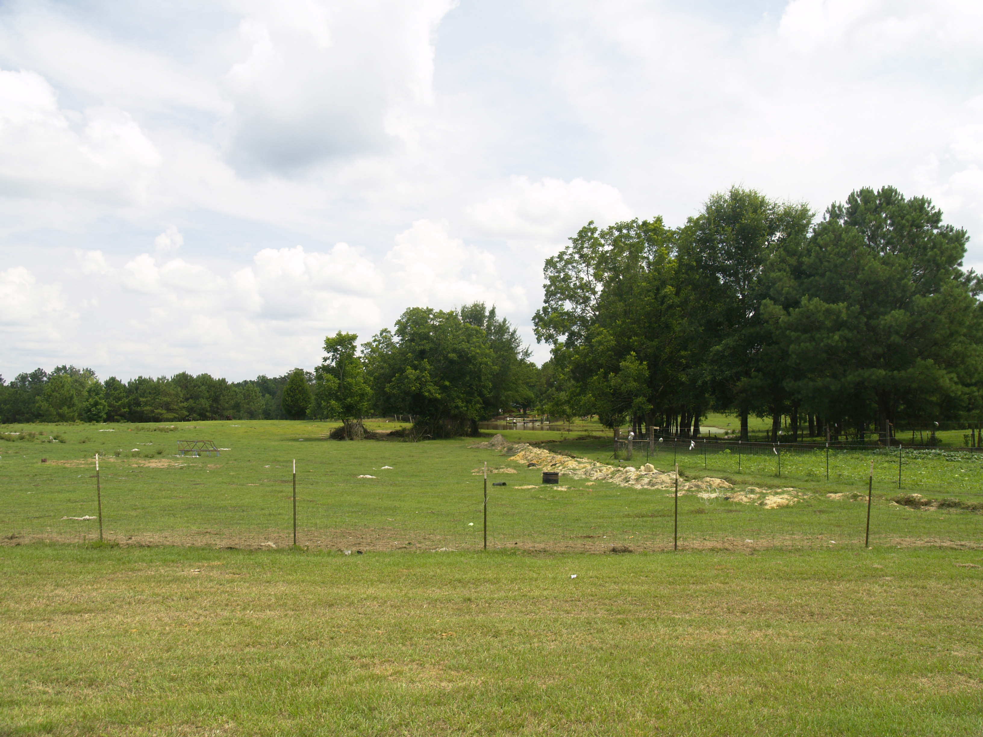
Pastoral Scene

78-0061
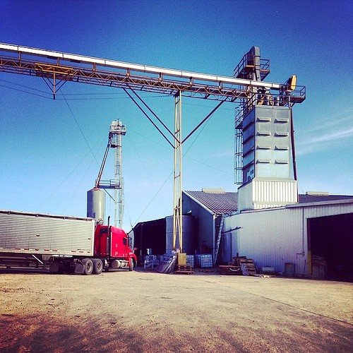
#caseyfeedmill #farmlife

Cold and windy.. 0__o
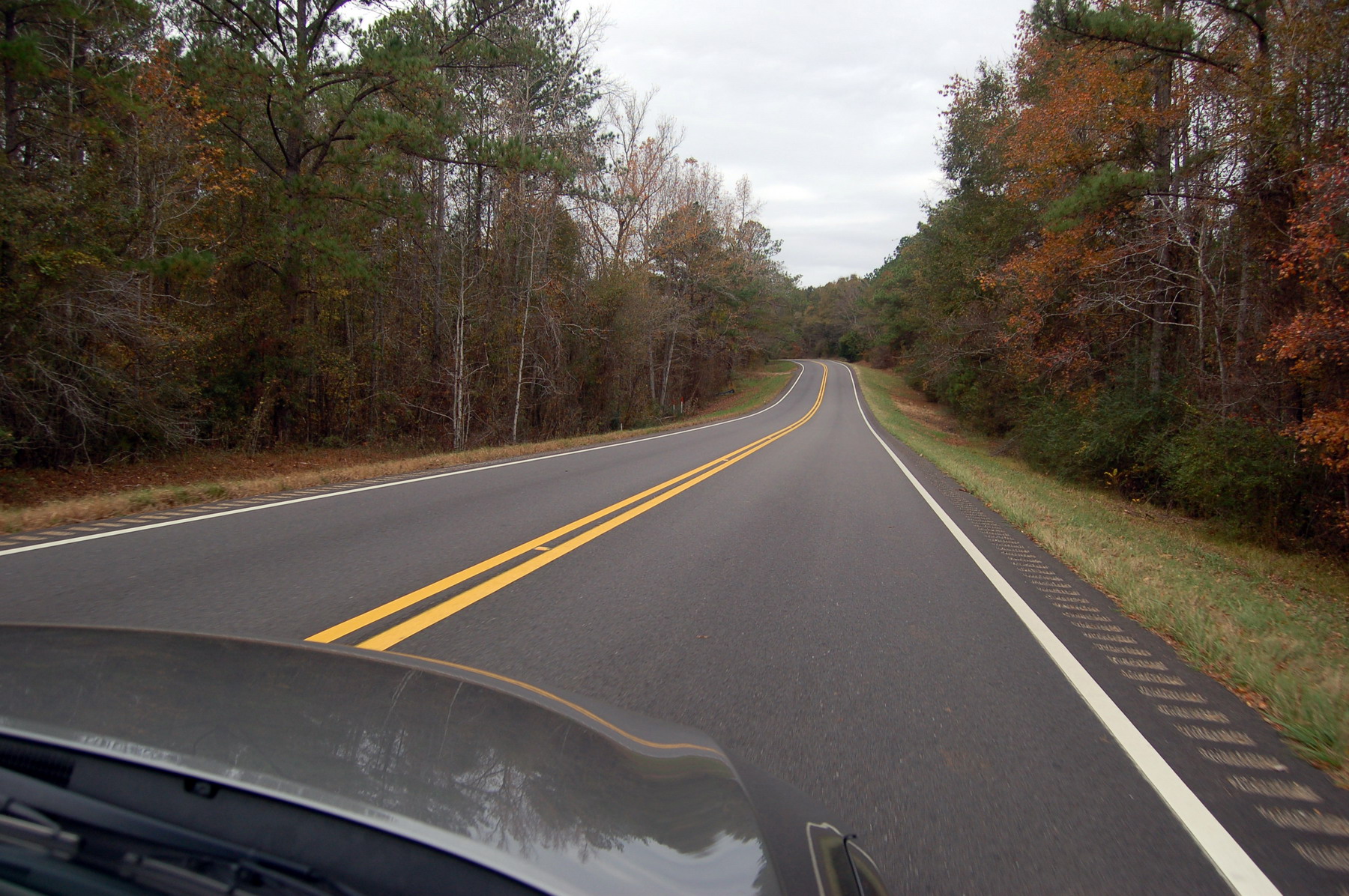
Alabama road
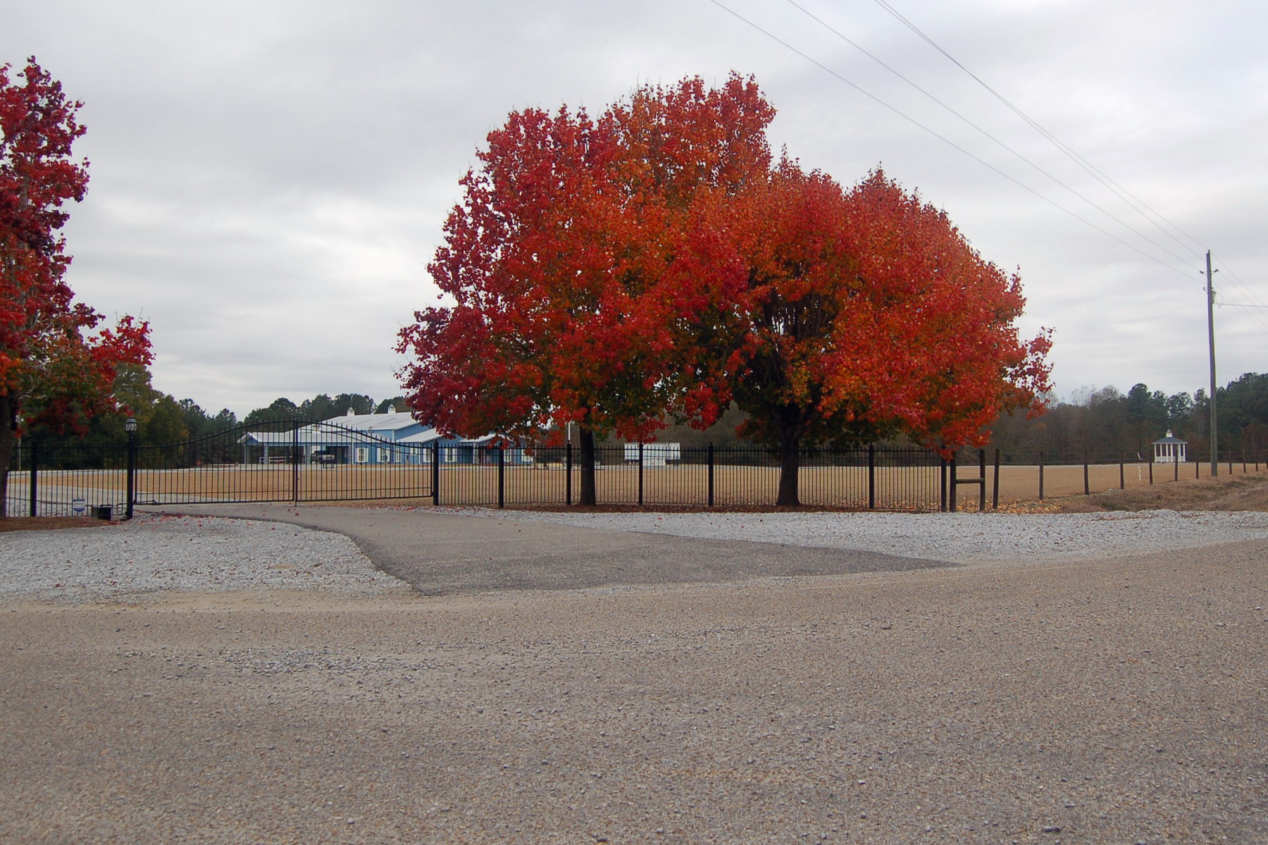
Red tree

IMAG0504-1

Jayne Cobb hat1
Topographic Map of Naftel Rd, Lapine, AL, USA
Find elevation by address:

Places near Naftel Rd, Lapine, AL, USA:
Lapine
W Hickory Grove Rd, Lapine, AL, USA
Montgomery Hwy, Lapine, AL, USA
Highland Home
Meriwether Trail, Grady, AL, USA
Magnolia Dr, Highland Home, AL, USA
Ramer
Grady
US-, Ramer, AL, USA
Bottlerock Road
Highland Home, AL, USA
18 Dublin Ln, Ramer, AL, USA
W Hickory Grove Rd, Letohatchee, AL, USA
Meriwether Trail, Grady, AL, USA
Shady Grove Rd, Grady, AL, USA
East Old Hayneville Road
Long Rd, Ramer, AL, USA
Mt Zion Rd, Ramer, AL, USA
5290 Hobbie Rd
Hobbie Rd, Montgomery, AL, USA
Recent Searches:
- Elevation of Congressional Dr, Stevensville, MD, USA
- Elevation of Bellview Rd, McLean, VA, USA
- Elevation of Stage Island Rd, Chatham, MA, USA
- Elevation of Shibuya Scramble Crossing, 21 Udagawacho, Shibuya City, Tokyo -, Japan
- Elevation of Jadagoniai, Kaunas District Municipality, Lithuania
- Elevation of Pagonija rock, Kranto 7-oji g. 8"N, Kaunas, Lithuania
- Elevation of Co Rd 87, Jamestown, CO, USA
- Elevation of Tenjo, Cundinamarca, Colombia
- Elevation of Côte-des-Neiges, Montreal, QC H4A 3J6, Canada
- Elevation of Bobcat Dr, Helena, MT, USA