Elevation of Grady, AL, USA
Location: United States > Alabama > Montgomery County >
Longitude: -86.201073
Latitude: 31.994872
Elevation: 139m / 456feet
Barometric Pressure: 100KPa
Elevation Map:
Satellite Map:
Related Photos:

Big Cows
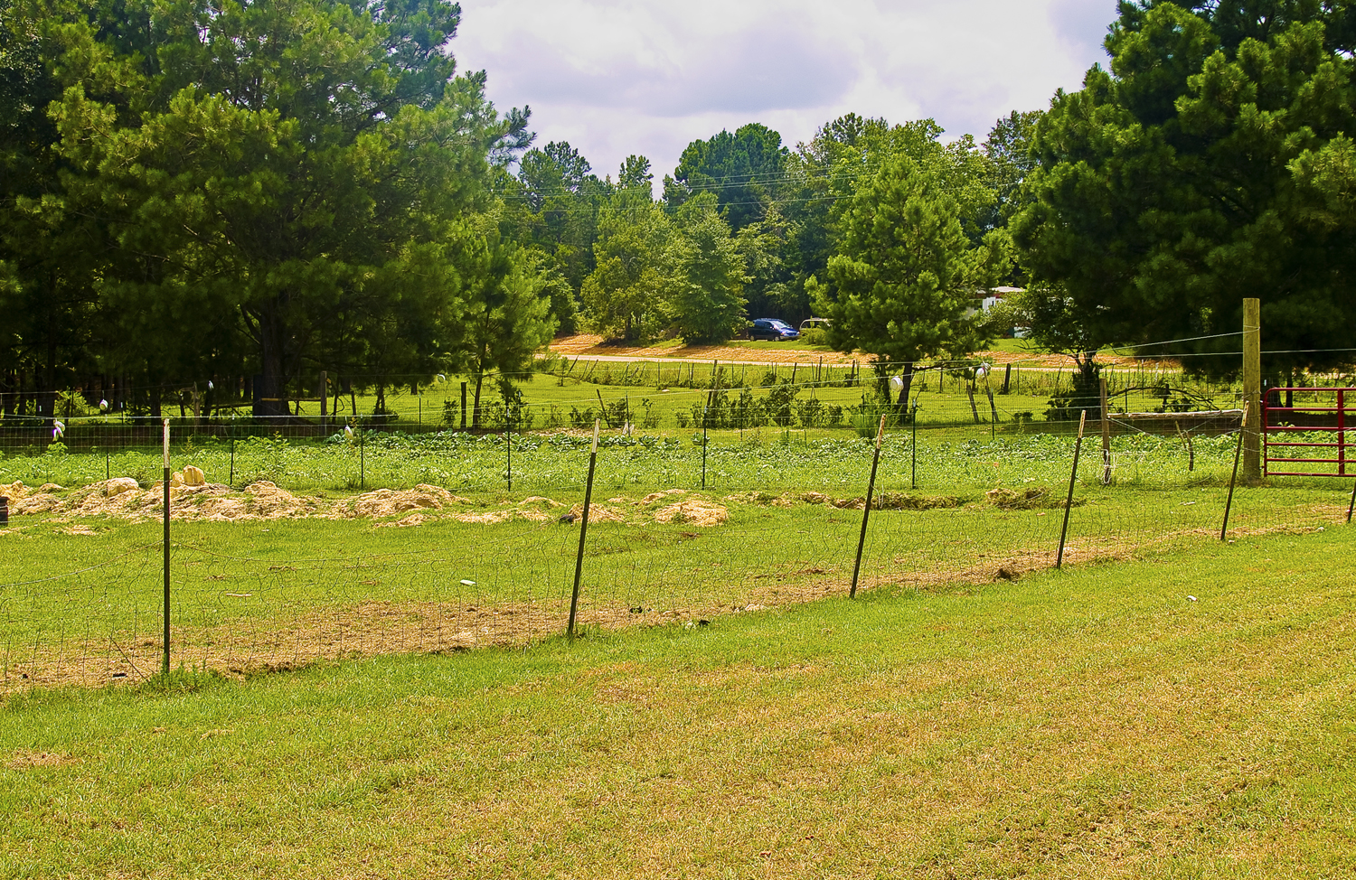
Open Field
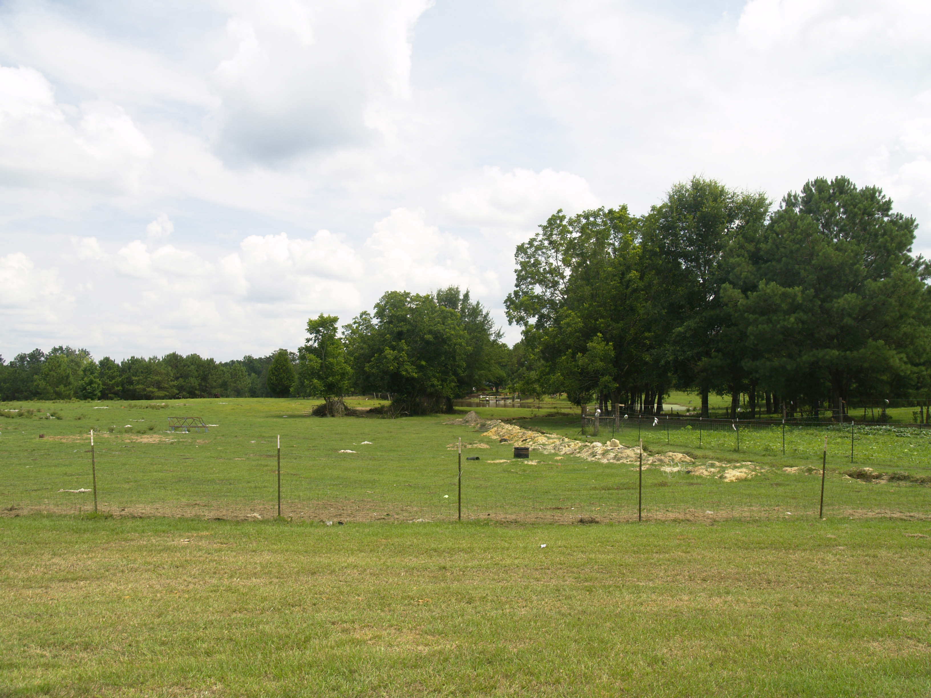
Pastoral Scene
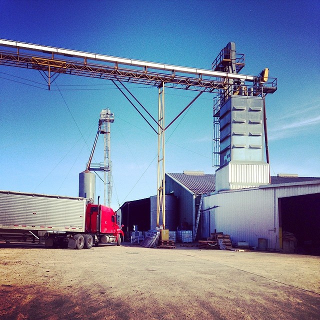
#caseyfeedmill #farmlife

Cold and windy.. 0__o
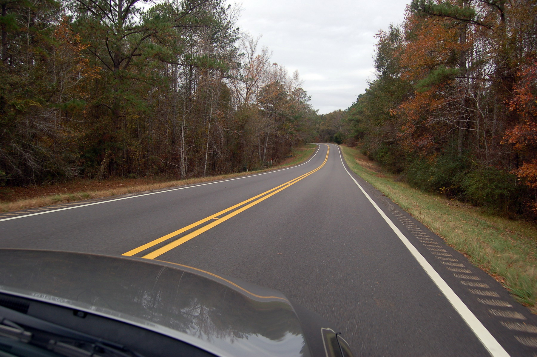
Alabama road
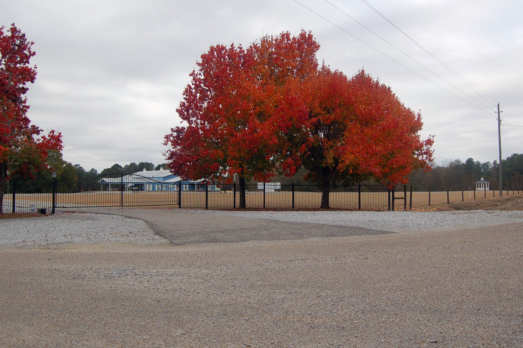
Red tree

Who you go for? #rolltide

Stopped for dinner here

Higher Education Day at the Alabama State House

78-0061 F-16A Fighting Falcon

YES.

Hayden's Christmas shirt.

Alabama Plumbing
Topographic Map of Grady, AL, USA
Find elevation by address:

Places in Grady, AL, USA:
Places near Grady, AL, USA:
Meriwether Trail, Grady, AL, USA
Meriwether Trail, Grady, AL, USA
18 Dublin Ln, Ramer, AL, USA
Ramer
Lapine
Naftel Rd, Lapine, AL, USA
Long Rd, Ramer, AL, USA
Shady Grove Rd, Grady, AL, USA
Magnolia Dr, Highland Home, AL, USA
W Hickory Grove Rd, Lapine, AL, USA
Montgomery Hwy, Lapine, AL, USA
Highland Home
19 Ford Rd, Grady, AL, USA
US-, Ramer, AL, USA
Mt Zion Rd, Ramer, AL, USA
Highland Home, AL, USA
East Old Hayneville Road
County Road 1126
Troy Hwy, Mathews, AL, USA
Bottlerock Road
Recent Searches:
- Elevation of Corso Fratelli Cairoli, 35, Macerata MC, Italy
- Elevation of Tallevast Rd, Sarasota, FL, USA
- Elevation of 4th St E, Sonoma, CA, USA
- Elevation of Black Hollow Rd, Pennsdale, PA, USA
- Elevation of Oakland Ave, Williamsport, PA, USA
- Elevation of Pedrógão Grande, Portugal
- Elevation of Klee Dr, Martinsburg, WV, USA
- Elevation of Via Roma, Pieranica CR, Italy
- Elevation of Tavkvetili Mountain, Georgia
- Elevation of Hartfords Bluff Cir, Mt Pleasant, SC, USA