Elevation of N William Ave, Fremont, NE, USA
Location: United States > Nebraska > Dodge County > Fremont >
Longitude: -96.471762
Latitude: 41.4325047
Elevation: 361m / 1184feet
Barometric Pressure: 97KPa
Elevation Map:
Satellite Map:
Related Photos:

UP 844 - Ames NE
Storm near Fremont
Springtime thunderstorm in Nebraska.

End of the day in #Nebraska. #whereintheworldisdean #explorewithdean #ruralamerica #trees #travel #instacool #instaphoto #picoftheday #photography #amazing #america #adventure #allshots_ #sunsets #fun #followme #grass #hope #learning #cool #clouds #beauty

_DSC8195 (1)

USAF 549th Strategic Missile Squadron Site B (SM-65D Atlas-D) ICBM launch complex
Spring Tree

The middle of nowhere. #scotia #nebraska #farm #field
April 2011 Desktop

Through the Trees-3 & 2

Storm near Fremont

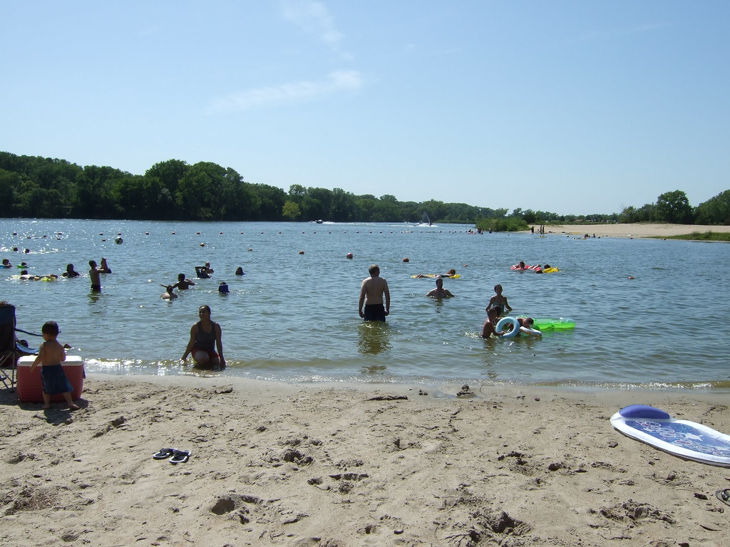
Fremont Lakes NE
DSCF0001.JPG

USAF 549th Strategic Missile Squadron Site B (SM-65D Atlas-D) ICBM launch complex
Topographic Map of N William Ave, Fremont, NE, USA
Find elevation by address:

Places near N William Ave, Fremont, NE, USA:
1334 E 1st St
119 N Bell St
Beegle Hall
Midland University
635 Schneider St
N Broad St, Fremont, NE, USA
Fremont
750 S Broad St
350 S H St
650 Us-77
450 S H St
821 S Broad St
1225 Us-77
1325 Us-77
1525 Us-77
950 S Broad St
1050 S Broad St
W Prospect Ave, Inglewood, NE, USA
Inglewood
1155 S Broad St
Recent Searches:
- Elevation of Groblershoop, South Africa
- Elevation of Power Generation Enterprises | Industrial Diesel Generators, Oak Ave, Canyon Country, CA, USA
- Elevation of Chesaw Rd, Oroville, WA, USA
- Elevation of N, Mt Pleasant, UT, USA
- Elevation of 6 Rue Jules Ferry, Beausoleil, France
- Elevation of Sattva Horizon, 4JC6+G9P, Vinayak Nagar, Kattigenahalli, Bengaluru, Karnataka, India
- Elevation of Great Brook Sports, Gold Star Hwy, Groton, CT, USA
- Elevation of 10 Mountain Laurels Dr, Nashua, NH, USA
- Elevation of 16 Gilboa Ln, Nashua, NH, USA
- Elevation of Laurel Rd, Townsend, TN, USA