Elevation of S H St, Fremont, NE, USA
Location: United States > Nebraska > Dodge County > Fremont >
Longitude: -96.500251
Latitude: 41.4274918
Elevation: 363m / 1191feet
Barometric Pressure: 97KPa
Elevation Map:
Satellite Map:
Related Photos:

UP 844 - Ames NE

End of the day in #Nebraska. #whereintheworldisdean #explorewithdean #ruralamerica #trees #travel #instacool #instaphoto #picoftheday #photography #amazing #america #adventure #allshots_ #sunsets #fun #followme #grass #hope #learning #cool #clouds #beauty

_DSC8195 (1)
Farmland Cloudscape
Spring Tree

The middle of nowhere. #scotia #nebraska #farm #field

April 2011 Desktop

Storm near Fremont

Fremont Lakes NE
Storm near Fremont
Nebraska Lake
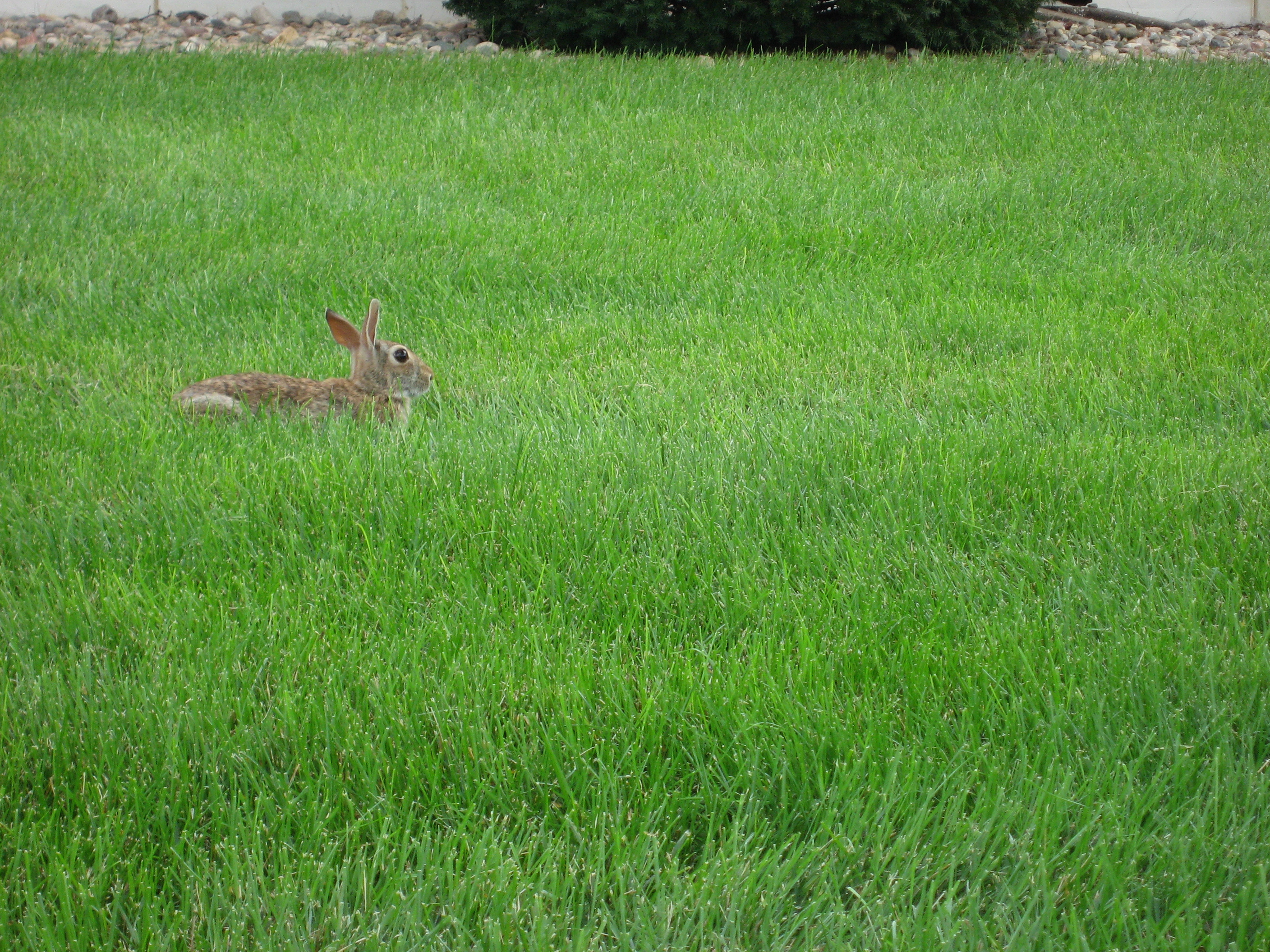
Bunnies I

Bunnies III
Topographic Map of S H St, Fremont, NE, USA
Find elevation by address:

Places near S H St, Fremont, NE, USA:
450 S H St
650 Us-77
750 S Broad St
821 S Broad St
Fremont
N Broad St, Fremont, NE, USA
1225 Us-77
1325 Us-77
1525 Us-77
950 S Broad St
635 Schneider St
1050 S Broad St
Inglewood
W Prospect Ave, Inglewood, NE, USA
1155 S Broad St
Midland University
2525 Us-77
1510 S Main St
119 N Bell St
Beegle Hall
Recent Searches:
- Elevation of 6 Rue Jules Ferry, Beausoleil, France
- Elevation of Sattva Horizon, 4JC6+G9P, Vinayak Nagar, Kattigenahalli, Bengaluru, Karnataka, India
- Elevation of Great Brook Sports, Gold Star Hwy, Groton, CT, USA
- Elevation of 10 Mountain Laurels Dr, Nashua, NH, USA
- Elevation of 16 Gilboa Ln, Nashua, NH, USA
- Elevation of Laurel Rd, Townsend, TN, USA
- Elevation of 3 Nestling Wood Dr, Long Valley, NJ, USA
- Elevation of Ilungu, Tanzania
- Elevation of Yellow Springs Road, Yellow Springs Rd, Chester Springs, PA, USA
- Elevation of Rēzekne Municipality, Latvia