Elevation of N th Ave, Ursa, IL, USA
Location: United States > Illinois > Adams County > Ursa Township > Ursa >
Longitude: -91.367231
Latitude: 40.118195
Elevation: 192m / 630feet
Barometric Pressure: 99KPa
Elevation Map:
Satellite Map:
Related Photos:

Simple Pleasures

NX Level Field, Canton (Mo.), 14 June 2016
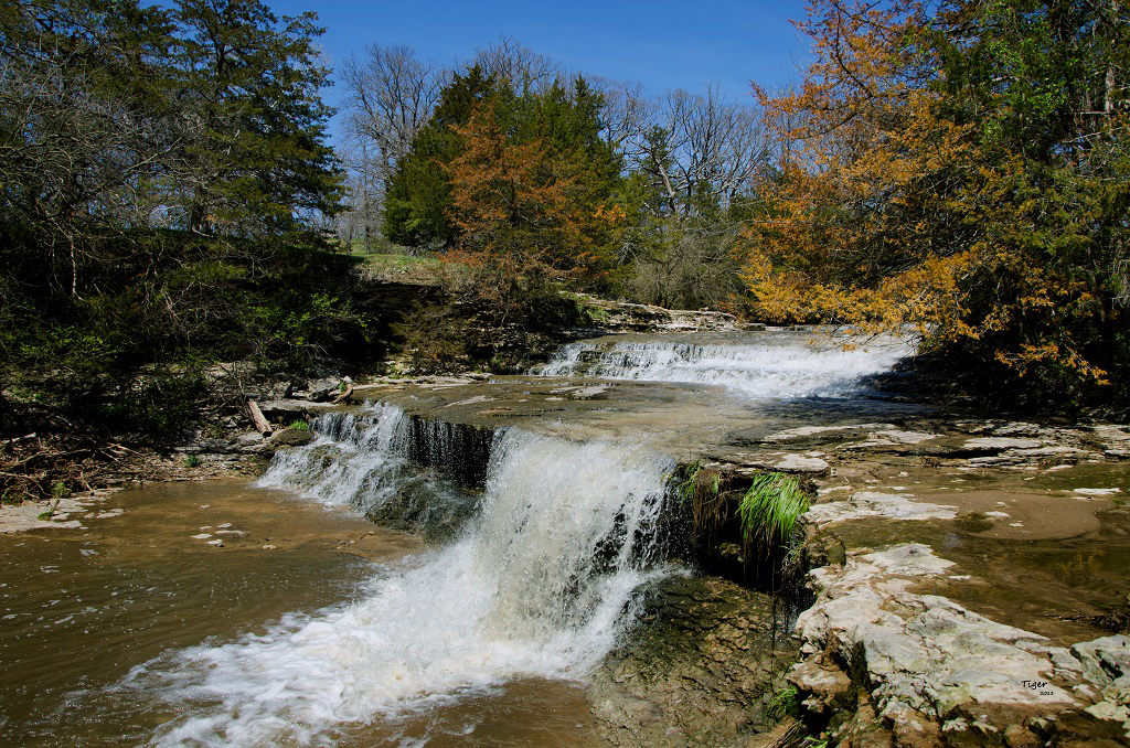
Rock Creek (Explored)
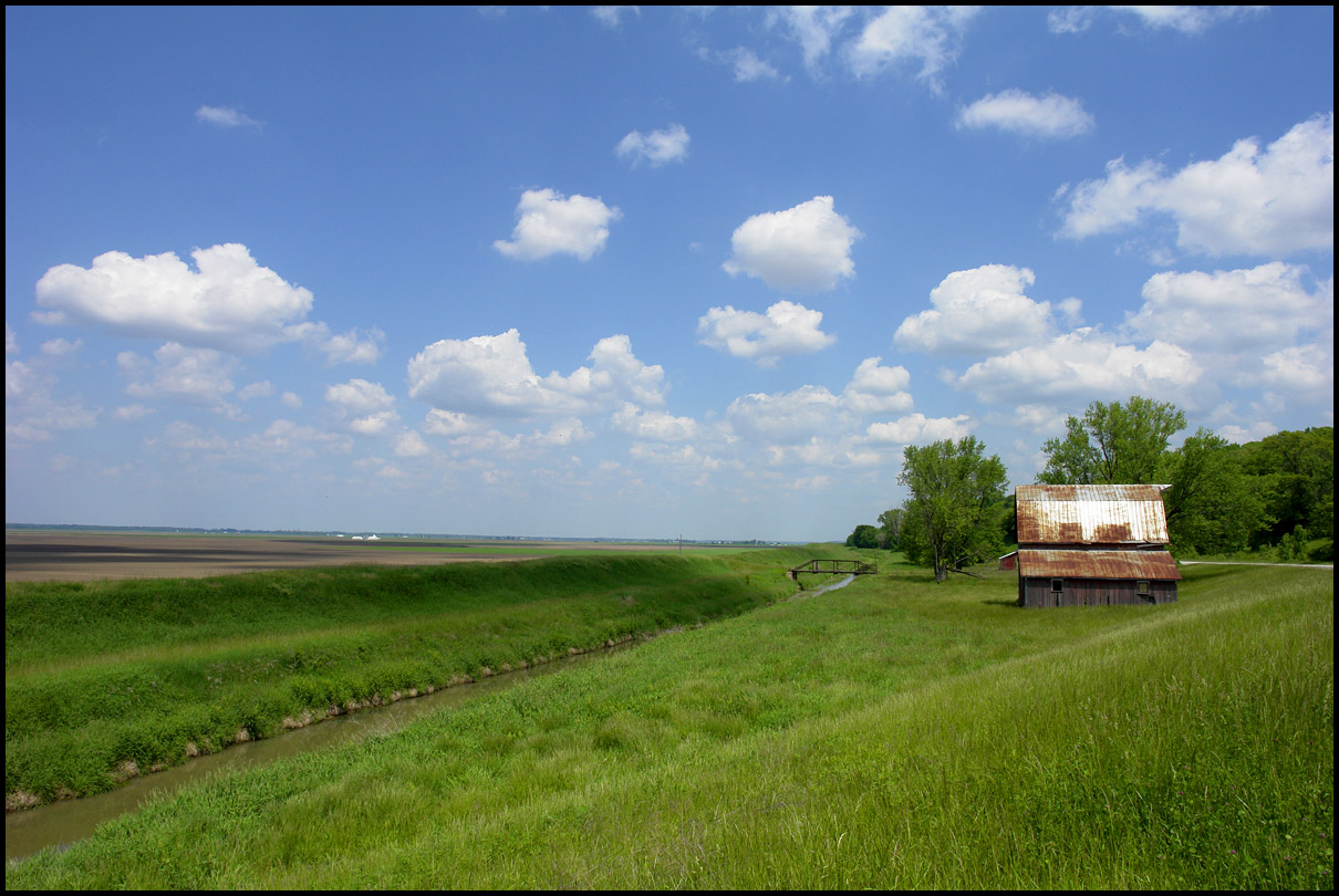
flat land, and a barn

Sun in the Trees
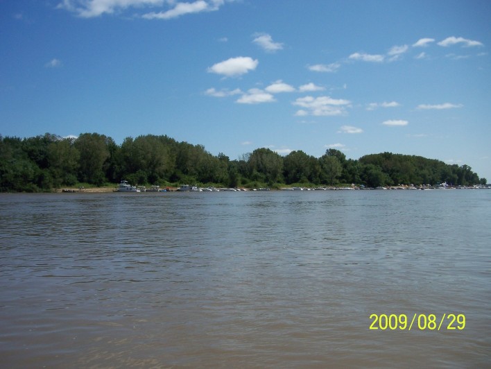
200908291702-100_9032
200908291525-100_9014
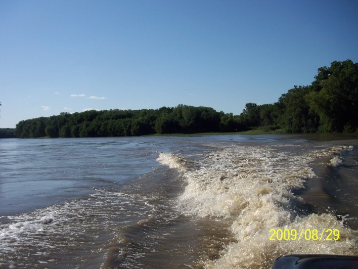
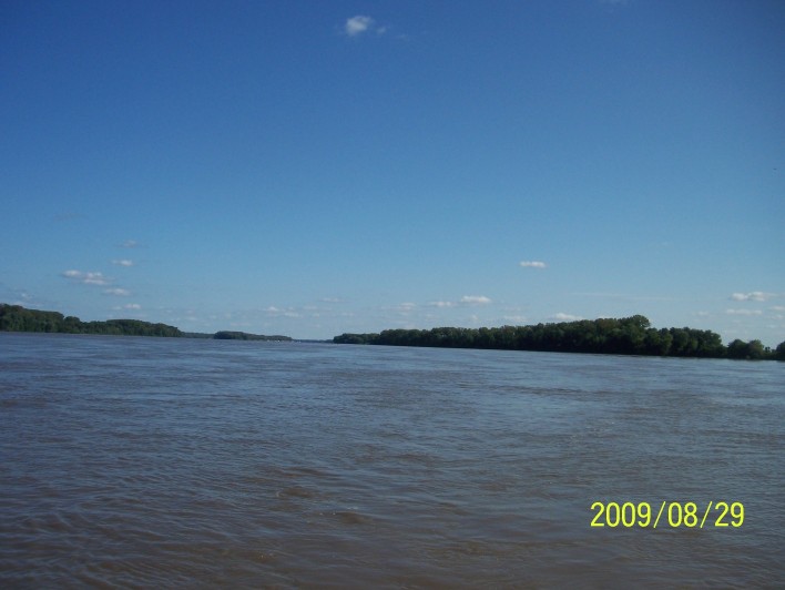
200908291709-100_9034
201002271149-P1050189
200908291526-100_9015

Sunrise over the Slough between Dillon Island and Island #419
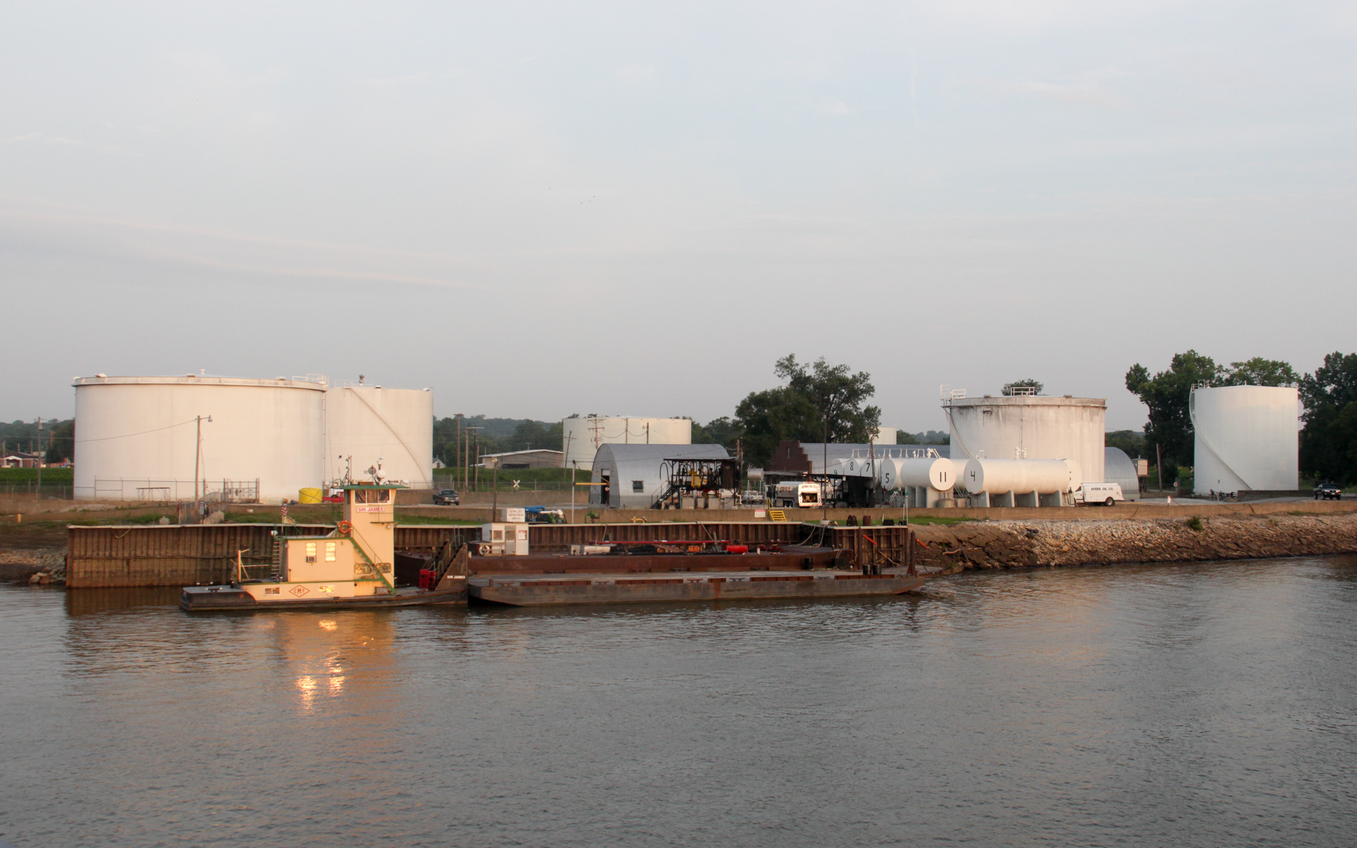
Ayers Oil Company Depot
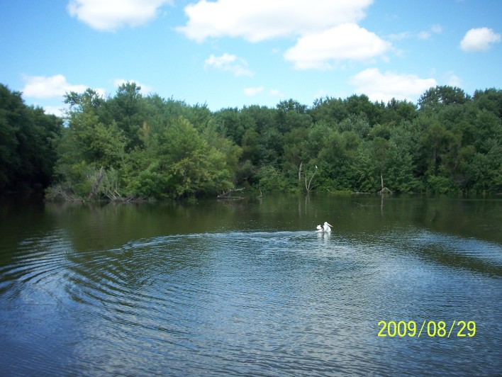
200908291638-100_9022
200908291638-100_9021
200908291341-100_8982
200908291701-100_9031
200908291345-100_8985

Canton Ferry, Mississippi River

Canton Ferry, Mississippi River
Post Office 63435 (Canton, Missouri)
200908291639-100_9023
Topographic Map of N th Ave, Ursa, IL, USA
Find elevation by address:

Places near N th Ave, Ursa, IL, USA:
Ursa
W Maple Ave, Ursa, IL, USA
N Range Line St, Ursa, IL, USA
Mendon Township
N State St, Mendon, IL, USA
Mendon
County Rd E, Quincy, IL, USA
Ellington Township
E Center St, Loraine, IL, USA
Loraine
N 12th St, Quincy, IL, USA
Fowler
2511 Sharon Dr
3027 Lawrence Rd
Quincy University
2811 College Ave
Honey Creek Township
Keene Township
King St, Quincy, IL, USA
1401 Broadway St
Recent Searches:
- Elevation of F36W+3M, Mussoorie, Uttarakhand, India
- Elevation of Fairland Ave, Fairhope, AL, USA
- Elevation of Sunset Dr, Richmond, VA, USA
- Elevation of Grodna District, Hrodna Region, Belarus
- Elevation of Hrodna, Hrodna Region, Belarus
- Elevation of Sandia Derby Estates, Tijeras, NM, USA
- Elevation of 23 Sunrise View Ct, Tijeras, NM, USA
- Elevation of Lytham Ln, Katy, TX, USA
- Elevation of Tater Hill, Oklahoma, USA
- Elevation of NY-, Friendship, NY, USA