Elevation of N Range Line St, Ursa, IL, USA
Location: United States > Illinois > Adams County >
Longitude: -91.378185
Latitude: 40.177448
Elevation: 202m / 663feet
Barometric Pressure: 99KPa
Elevation Map:
Satellite Map:
Related Photos:
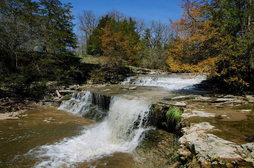
Rock Creek (Explored)
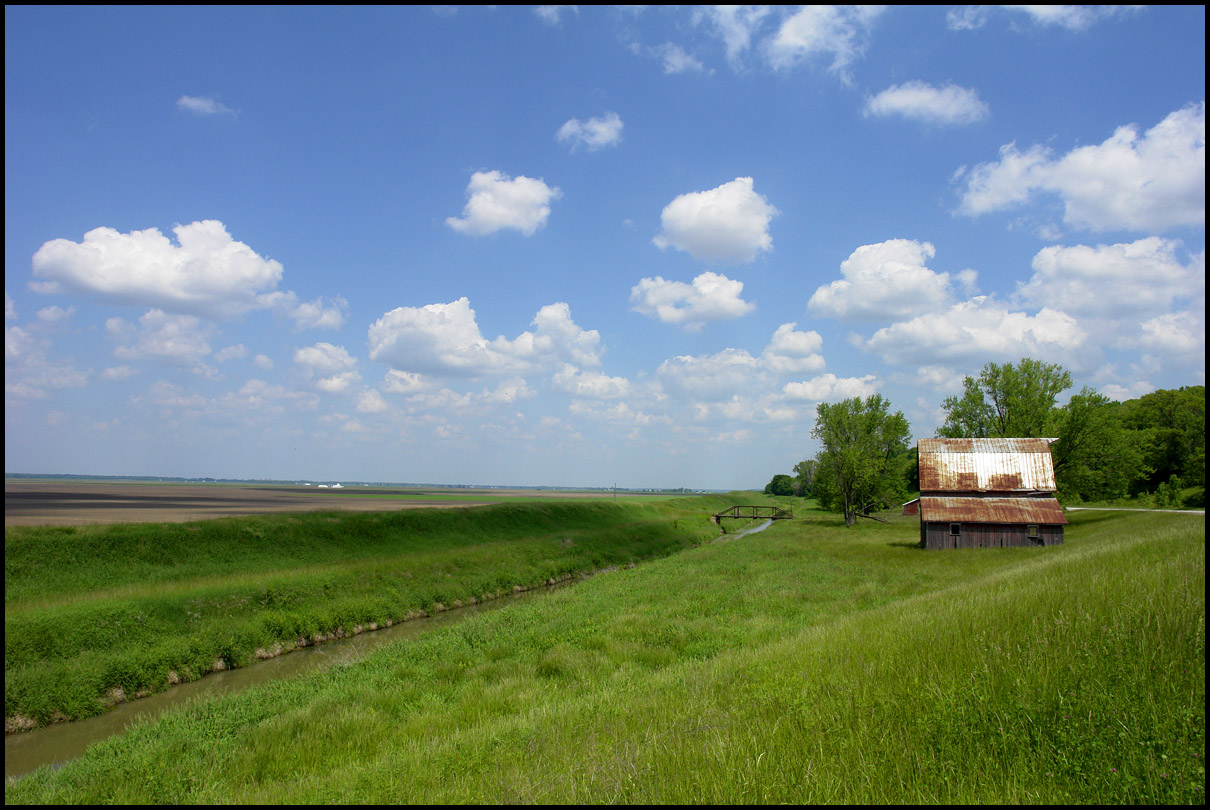
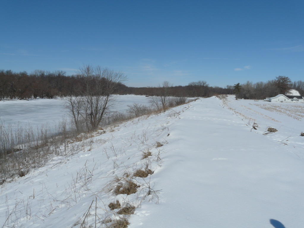
flat land, and a barn

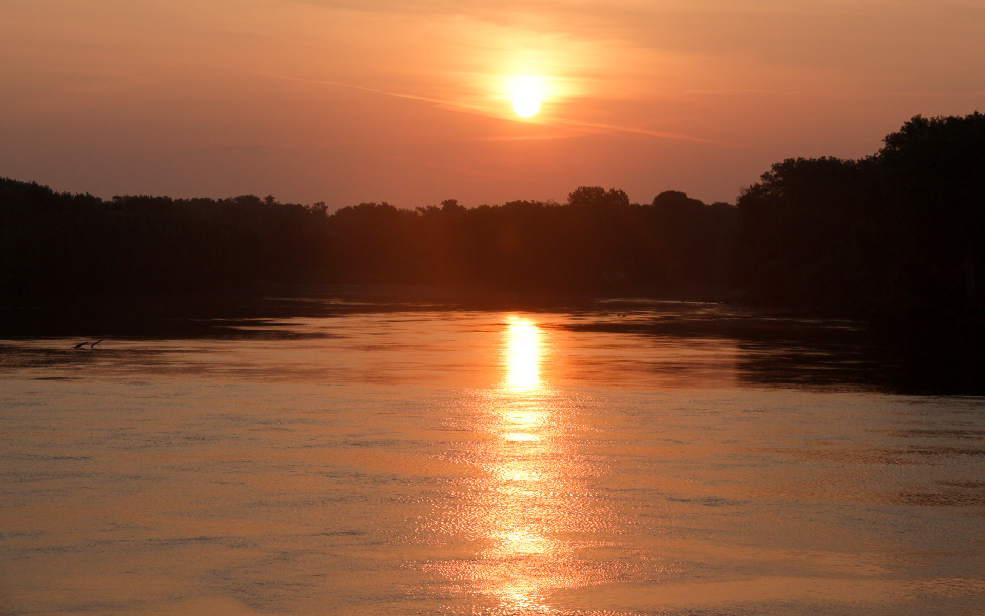
Sun in the Trees
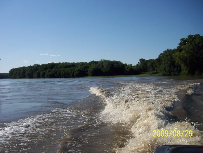
200908291702-100_9032
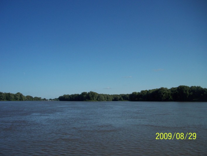
200908291709-100_9034
201002271149-P1050189
Sunrise over the Slough between Dillon Island and Island #419
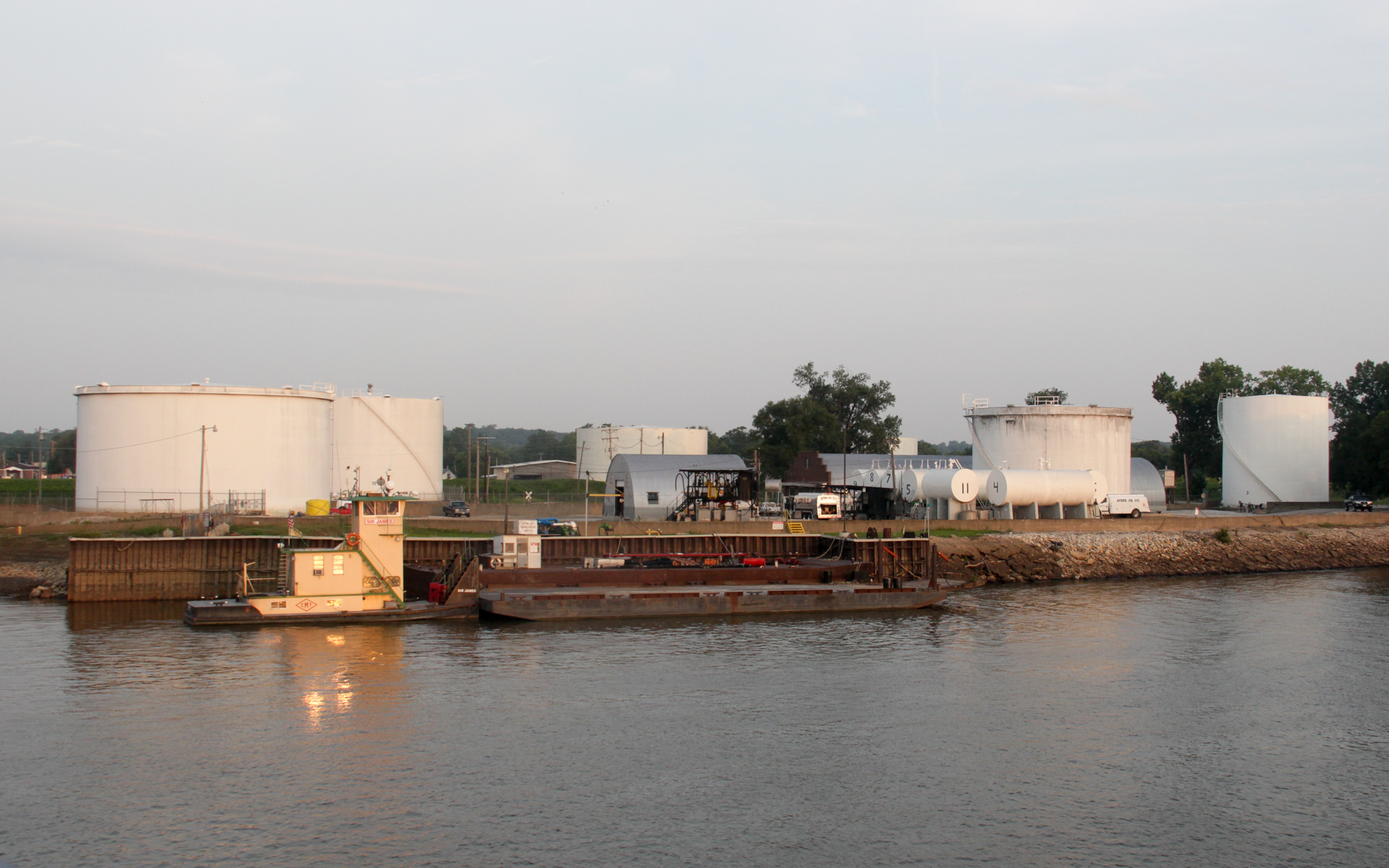
Ayers Oil Company Depot
200908291701-100_9031

Canton Ferry, Mississippi River

Canton Ferry, Mississippi River
Post Office 63435 (Canton, Missouri)
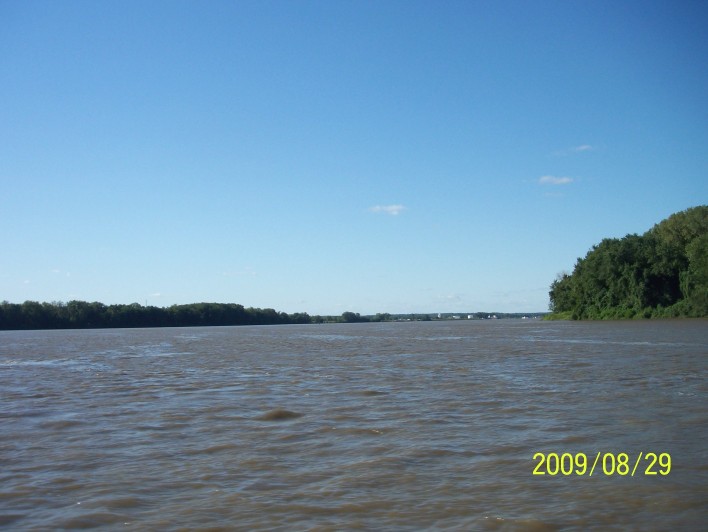
200908291700-100_9028
200908291709-100_9033
Sunrise in Gregory
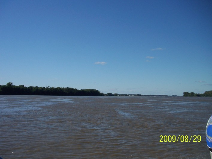
200908291700-100_9029
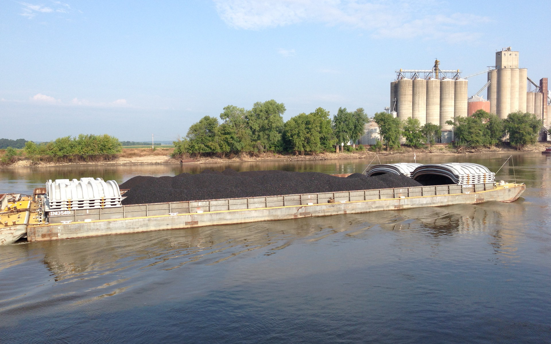
Coal Headed Upriver
200908291700-100_9030
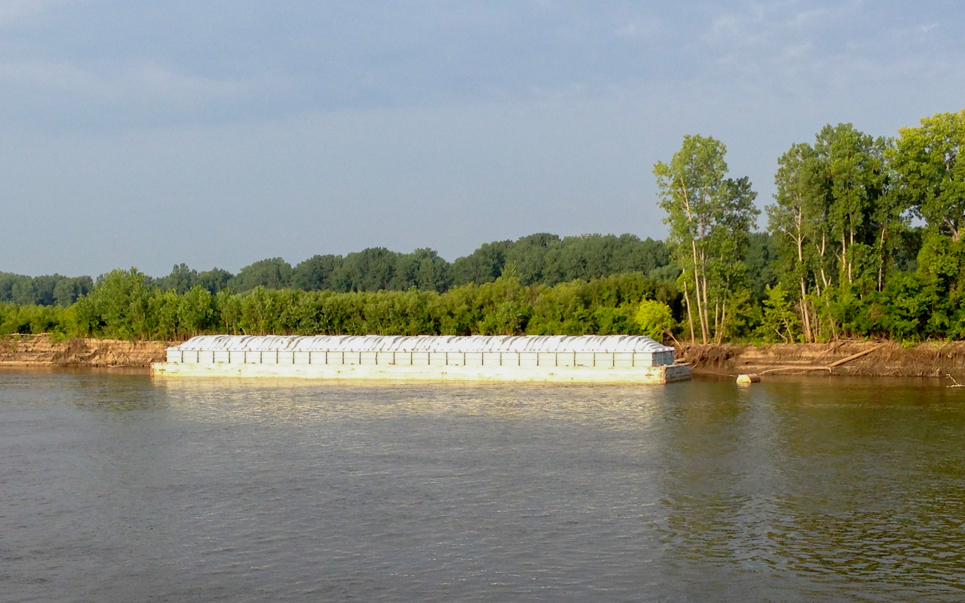
Parked Barge
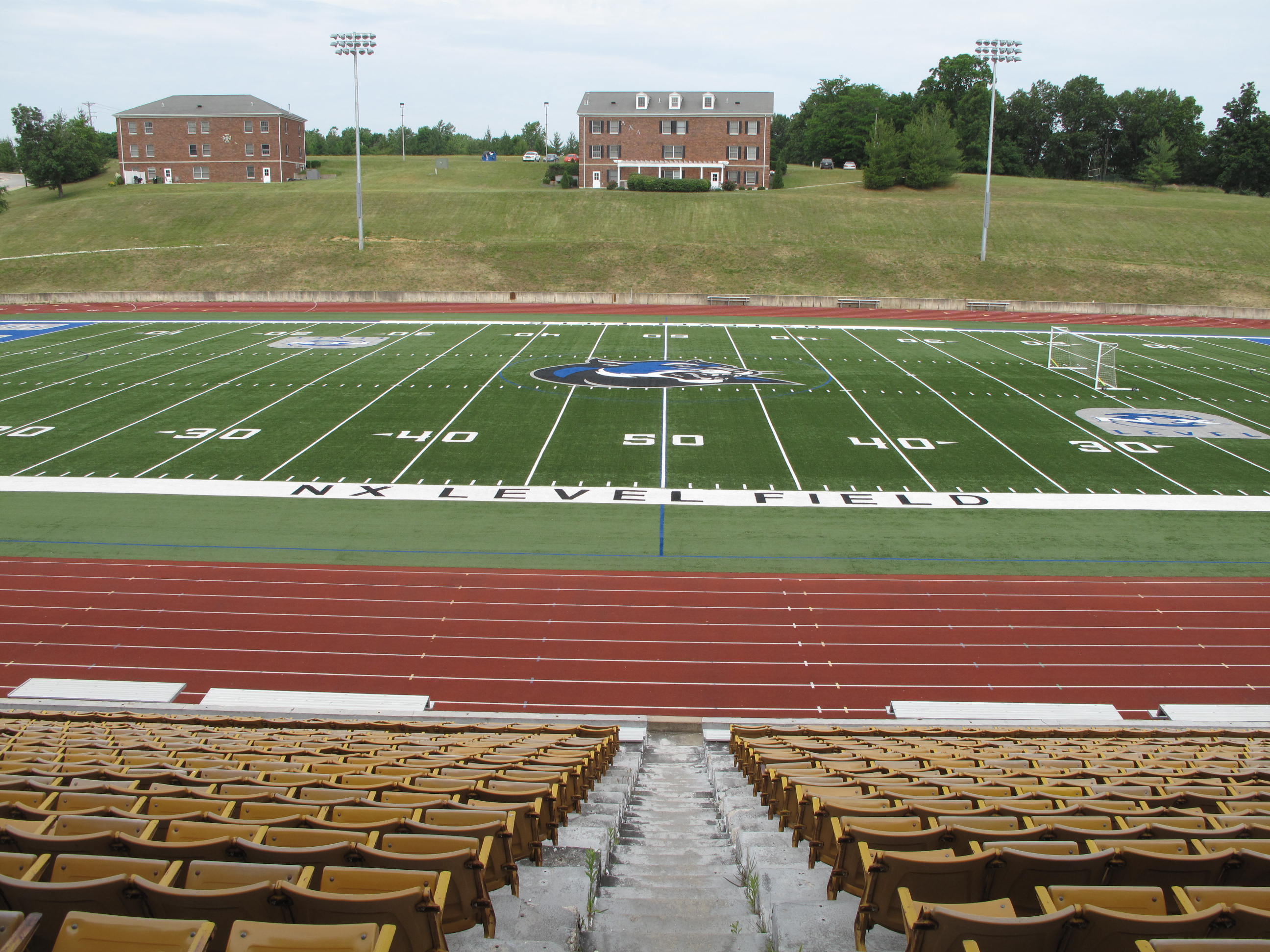
NX Level Field, Canton (Mo.), 14 June 2016

Simple Pleasures
Topographic Map of N Range Line St, Ursa, IL, USA
Find elevation by address:

Places near N Range Line St, Ursa, IL, USA:
N th Ave, Ursa, IL, USA
Ursa
W Maple Ave, Ursa, IL, USA
Mendon Township
N State St, Mendon, IL, USA
Mendon
Loraine
E Center St, Loraine, IL, USA
County Rd E, Quincy, IL, USA
Co Hwy 11, Warsaw, IL, USA
Keene Township
Frank
Ellington Township
Fowler
N 12th St, Quincy, IL, USA
Honey Creek Township
Mississippi Drive
111 S 2nd St
Hamilton
Keokuk
Recent Searches:
- Elevation of Crocker Dr, Vacaville, CA, USA
- Elevation of Pu Ngaol Community Meeting Hall, HWHM+3X7, Krong Saen Monourom, Cambodia
- Elevation of Royal Ontario Museum, Queens Park, Toronto, ON M5S 2C6, Canada
- Elevation of Groblershoop, South Africa
- Elevation of Power Generation Enterprises | Industrial Diesel Generators, Oak Ave, Canyon Country, CA, USA
- Elevation of Chesaw Rd, Oroville, WA, USA
- Elevation of N, Mt Pleasant, UT, USA
- Elevation of 6 Rue Jules Ferry, Beausoleil, France
- Elevation of Sattva Horizon, 4JC6+G9P, Vinayak Nagar, Kattigenahalli, Bengaluru, Karnataka, India
- Elevation of Great Brook Sports, Gold Star Hwy, Groton, CT, USA