Elevation of N Shore Dr, Crystal, MI, USA
Location: United States > Michigan > Montcalm County >
Longitude: -84.929249
Latitude: 43.2699512
Elevation: 247m / 810feet
Barometric Pressure: 98KPa
Elevation Map:
Satellite Map:
Related Photos:
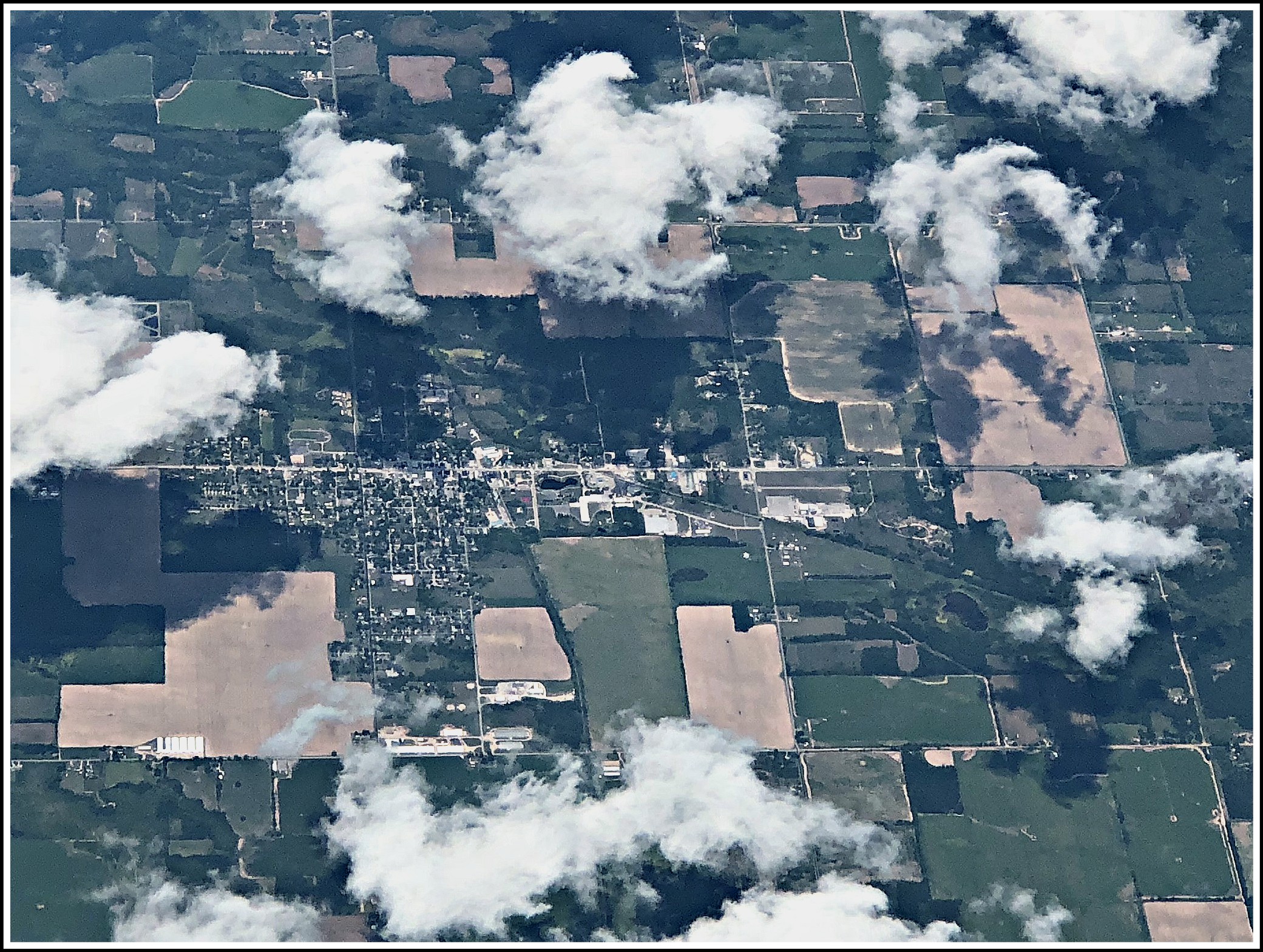
SOMEWHERE OVER MICHIGAN

Harvest Time
i love the lake. #crystallake #puremichigan #sunset #nature #passionatenaturalist

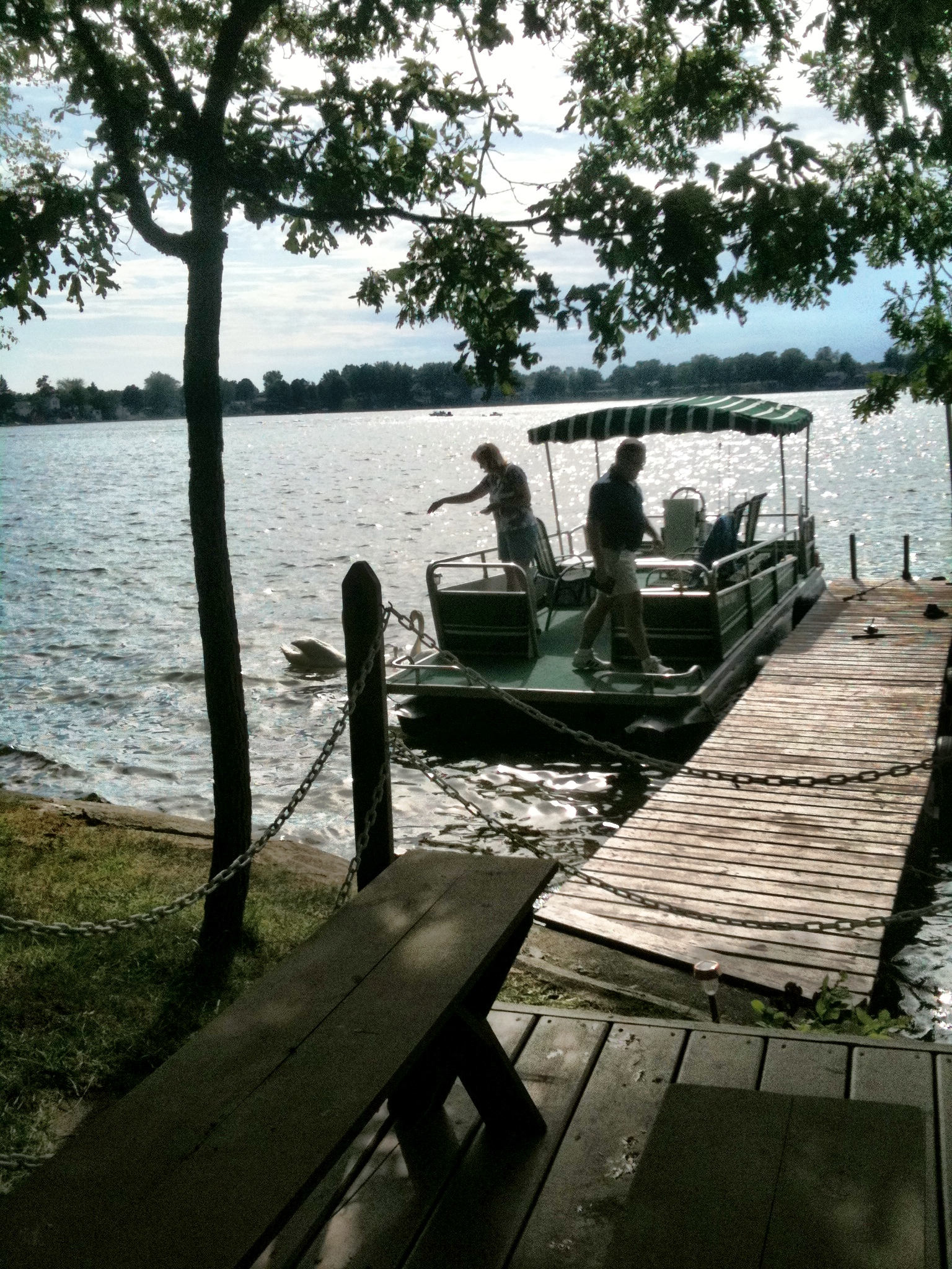
This is When the Fishing Gets Great!

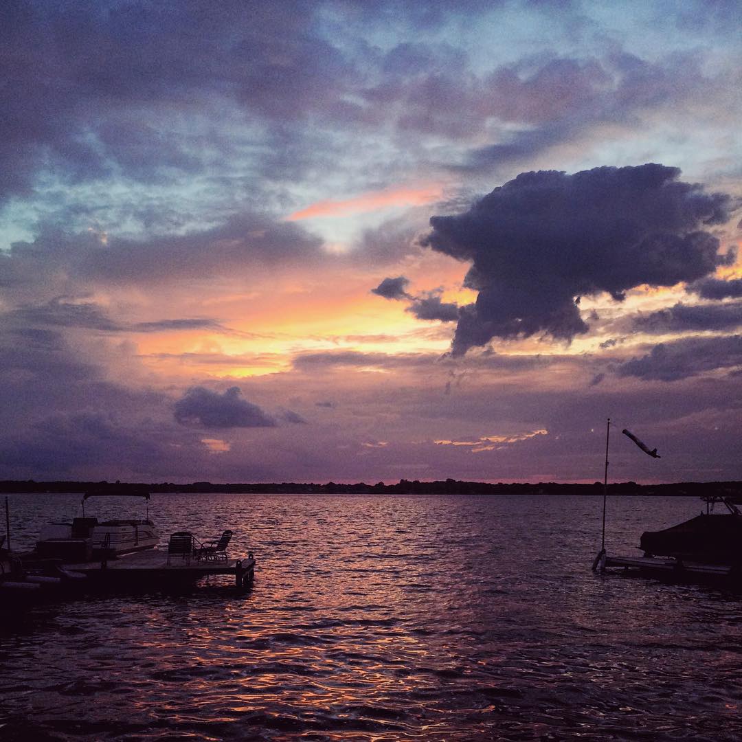
Sunset at Derby Lake, first night
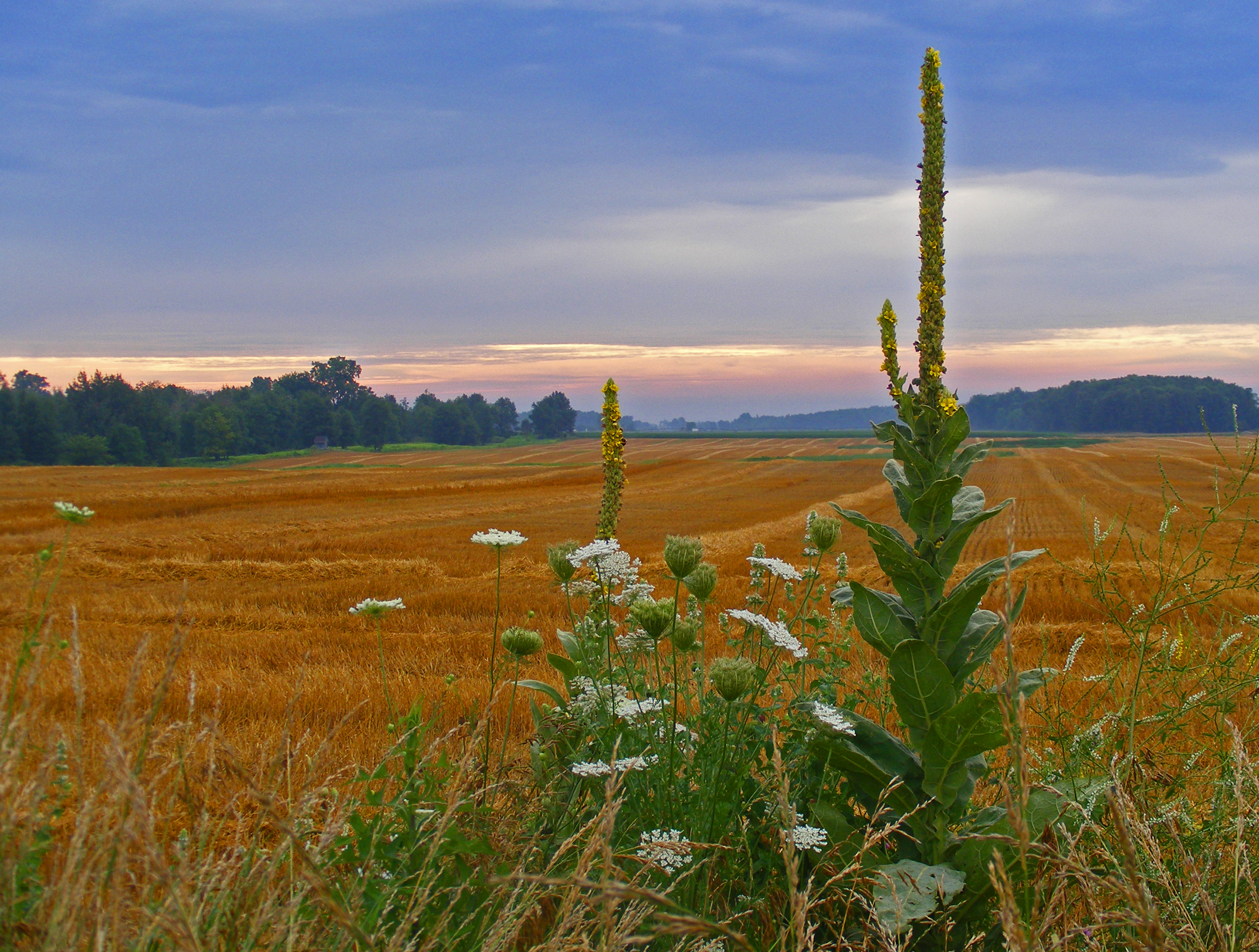
Common Mullein and The Queen
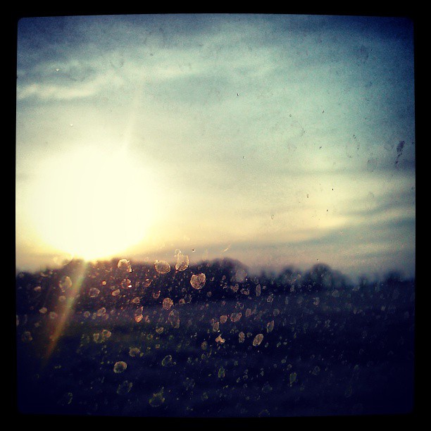
Dusk.
Sunset at Derby Lake, first night
Sunset at the lake

Cornfield Hill
Independence Day 2007 - IMGP0524.jpg
Blinks from a walk around Derby Lake

Sunset from my Float Tube Fishing Lake
The local family
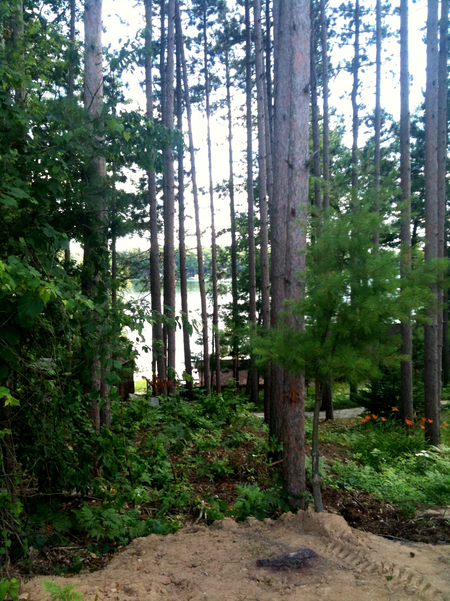
Blinks from a walk around Derby Lake
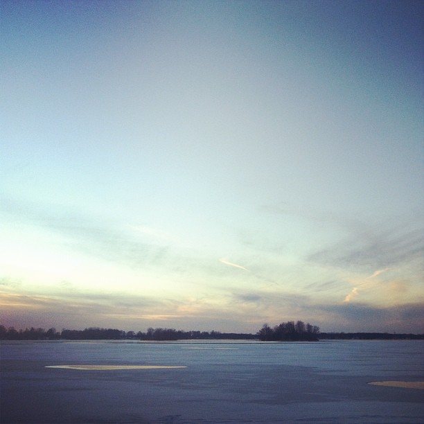
Lakesets.
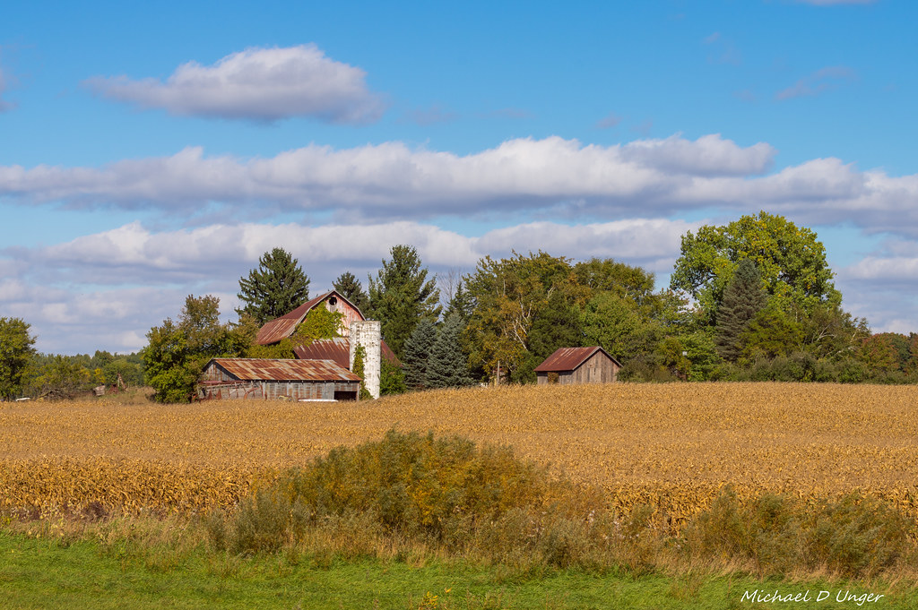
Forgotten Farm-2016-2.jpg
Topographic Map of N Shore Dr, Crystal, MI, USA
Find elevation by address:

Places near N Shore Dr, Crystal, MI, USA:
Bloomer Township
Carson City
E Main St, Carson City, MI, USA
9643 Blackmer Rd
Sumner Township
Sheridan
Edmore
1897 Edgar Rd
Home Township
4485 N Pingree Rd
Gratiot County
4340 N Winans Rd
4166 N Jones Rd
80 Tingley Rd, Orleans, MI, USA
Arcada Township
Montcalm County
3300 W Tyler Rd
Orleans Township
Rolland Township
Ionia Township
Recent Searches:
- Elevation of Crocker Dr, Vacaville, CA, USA
- Elevation of Pu Ngaol Community Meeting Hall, HWHM+3X7, Krong Saen Monourom, Cambodia
- Elevation of Royal Ontario Museum, Queens Park, Toronto, ON M5S 2C6, Canada
- Elevation of Groblershoop, South Africa
- Elevation of Power Generation Enterprises | Industrial Diesel Generators, Oak Ave, Canyon Country, CA, USA
- Elevation of Chesaw Rd, Oroville, WA, USA
- Elevation of N, Mt Pleasant, UT, USA
- Elevation of 6 Rue Jules Ferry, Beausoleil, France
- Elevation of Sattva Horizon, 4JC6+G9P, Vinayak Nagar, Kattigenahalli, Bengaluru, Karnataka, India
- Elevation of Great Brook Sports, Gold Star Hwy, Groton, CT, USA