Elevation of E Main St, Carson City, MI, USA
Location: United States > Michigan > Montcalm County > Carson City >
Longitude: -84.846072
Latitude: 43.1769005
Elevation: 231m / 758feet
Barometric Pressure: 99KPa
Elevation Map:
Satellite Map:
Related Photos:

Wet Feet

Lakesets.

On thin ice.

Dusk.

Sunset at the lake

Independence Day 2007 - IMGP0524.jpg

Misty Sunrise on a Loon Lake Morning

The Thin Twins - Loon Lake Morning
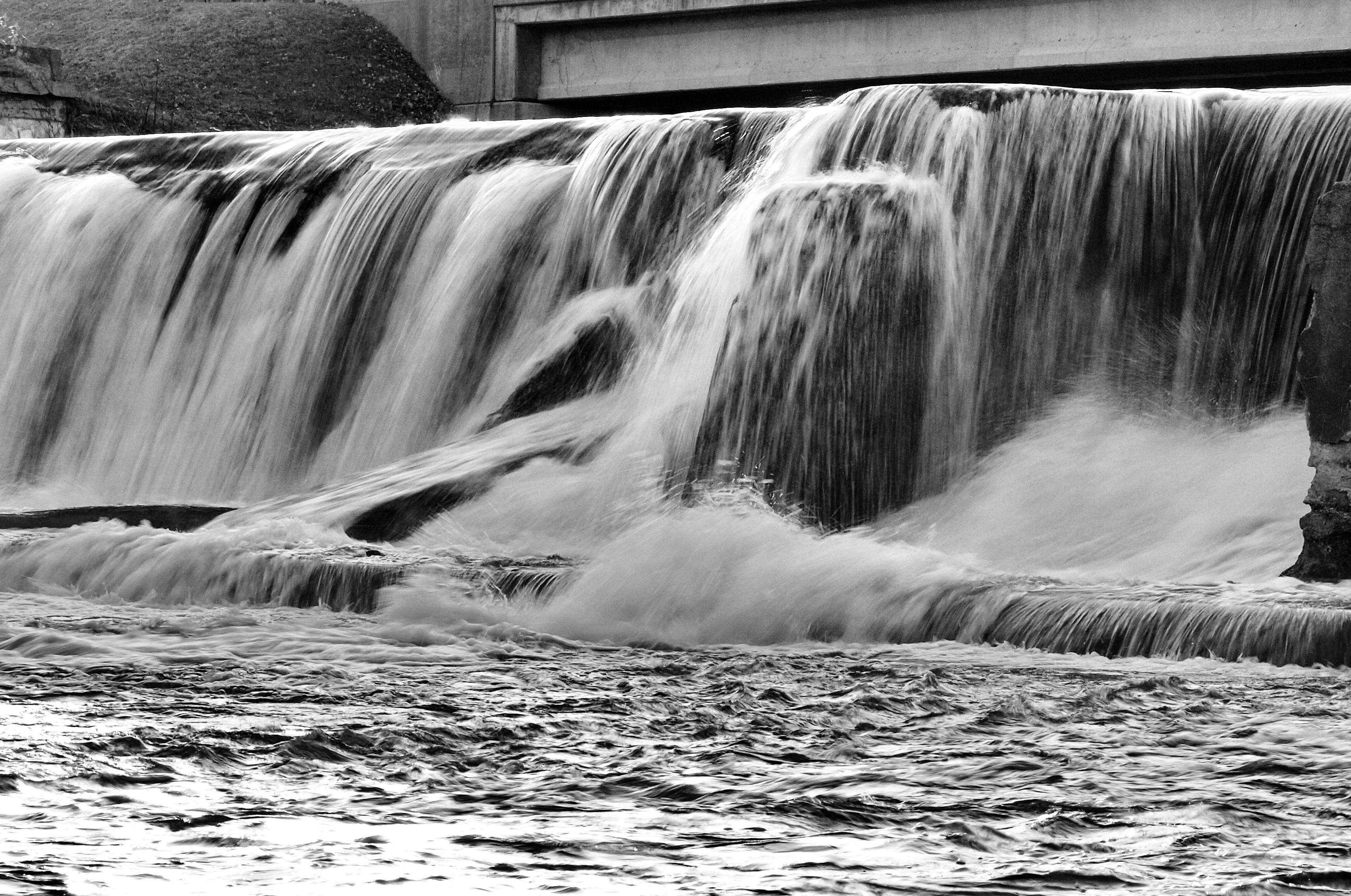
Hubbardston Dam

Sunrises and Turtle Heads - Loon Lake Morning
Topographic Map of E Main St, Carson City, MI, USA
Find elevation by address:

Places near E Main St, Carson City, MI, USA:
Carson City
Bloomer Township
9643 Blackmer Rd
542 N Shore Dr
4166 N Jones Rd
Sumner Township
Dallas Township
Gratiot County
4485 N Pingree Rd
11251 W 4th St
Fowler
Arcada Township
4340 N Winans Rd
Sheridan
Ionia Township
3300 W Tyler Rd
W Fulton Ave, Ashley, MI, USA
80 Tingley Rd, Orleans, MI, USA
Ionia County
Ithaca
Recent Searches:
- Elevation of Hercules Dr, Colorado Springs, CO, USA
- Elevation of Szlak pieszy czarny, Poland
- Elevation of Griffing Blvd, Biscayne Park, FL, USA
- Elevation of Kreuzburger Weg 13, Düsseldorf, Germany
- Elevation of Gateway Blvd SE, Canton, OH, USA
- Elevation of East W.T. Harris Boulevard, E W.T. Harris Blvd, Charlotte, NC, USA
- Elevation of West Sugar Creek, Charlotte, NC, USA
- Elevation of Wayland, NY, USA
- Elevation of Steadfast Ct, Daphne, AL, USA
- Elevation of Lagasgasan, X+CQH, Tiaong, Quezon, Philippines