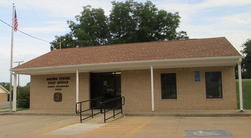
Elevation of N Road, N Rd, Oklahoma, USA
Location: United States > Oklahoma > Atoka County > Atoka >
Longitude: -96.040486
Latitude: 34.2472462
Elevation: 182m / 597feet
Barometric Pressure: 99KPa
Related Photos:
Topographic Map of N Road, N Rd, Oklahoma, USA
Find elevation by address:

Places near N Road, N Rd, Oklahoma, USA:
Atoka
Caney
W Main St, Caney, OK, USA
459 W Main St
Atoka County
Bokchito
Oklahoma 22
Mary St, Kenefic, OK, USA
Kenefic
Hyde Lake Rd, Bennington, OK, USA
W Main St, Durant, OK, USA
Prairie Pond Road
5th St, Coleman, OK, USA
OK-70E, Bokchito, OK, USA
Moyers
Scott St, Durant, OK, USA
Main St, Soper, OK, USA
Wardville
N Rd, Wardville, OK, USA
NE 2nd Ave, Durant, OK, USA
Recent Searches:
- Elevation of Congressional Dr, Stevensville, MD, USA
- Elevation of Bellview Rd, McLean, VA, USA
- Elevation of Stage Island Rd, Chatham, MA, USA
- Elevation of Shibuya Scramble Crossing, 21 Udagawacho, Shibuya City, Tokyo -, Japan
- Elevation of Jadagoniai, Kaunas District Municipality, Lithuania
- Elevation of Pagonija rock, Kranto 7-oji g. 8"N, Kaunas, Lithuania
- Elevation of Co Rd 87, Jamestown, CO, USA
- Elevation of Tenjo, Cundinamarca, Colombia
- Elevation of Côte-des-Neiges, Montreal, QC H4A 3J6, Canada
- Elevation of Bobcat Dr, Helena, MT, USA


