Elevation of N River Rd, Alva, FL, USA
Location: United States > Florida > Lee County > Alva >
Longitude: -81.686509
Latitude: 26.7305188
Elevation: 3m / 10feet
Barometric Pressure: 101KPa
Elevation Map:
Satellite Map:
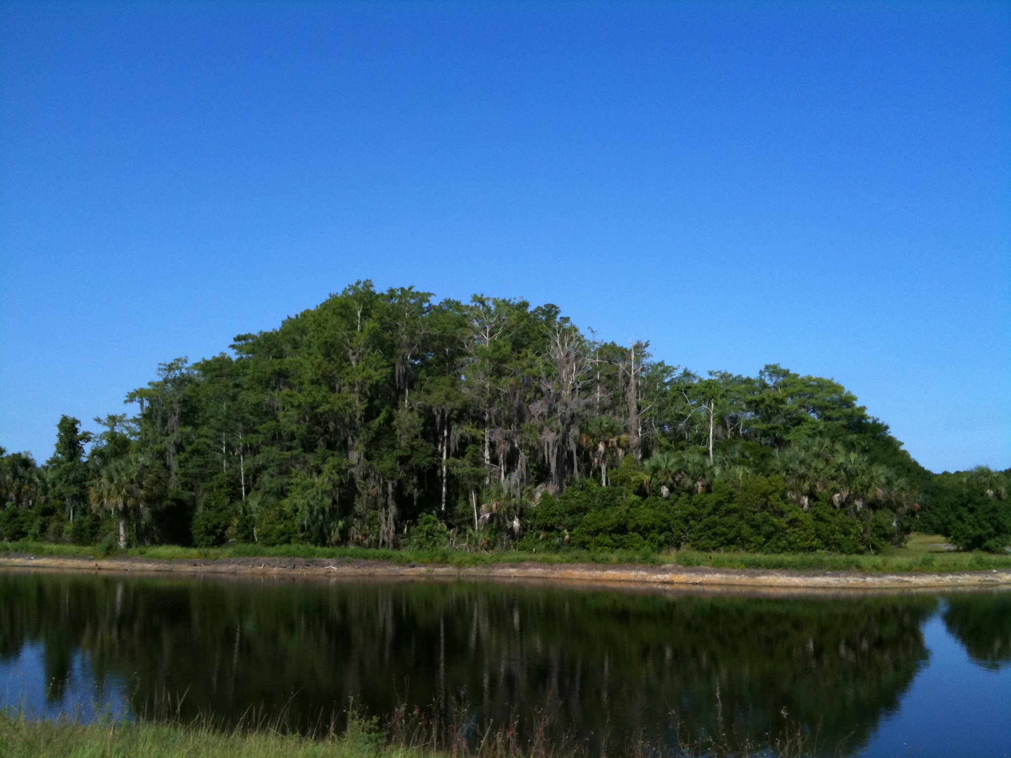
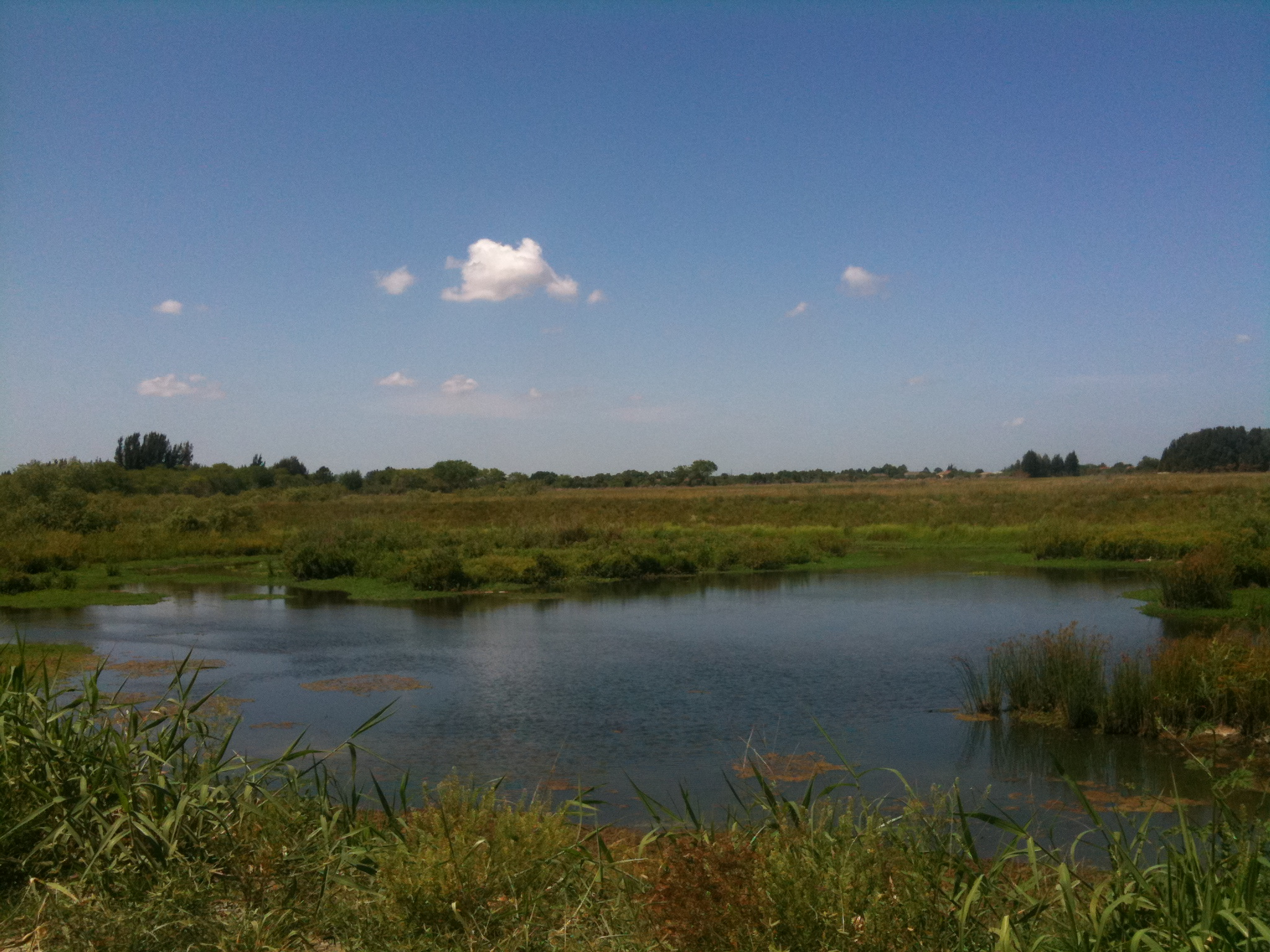
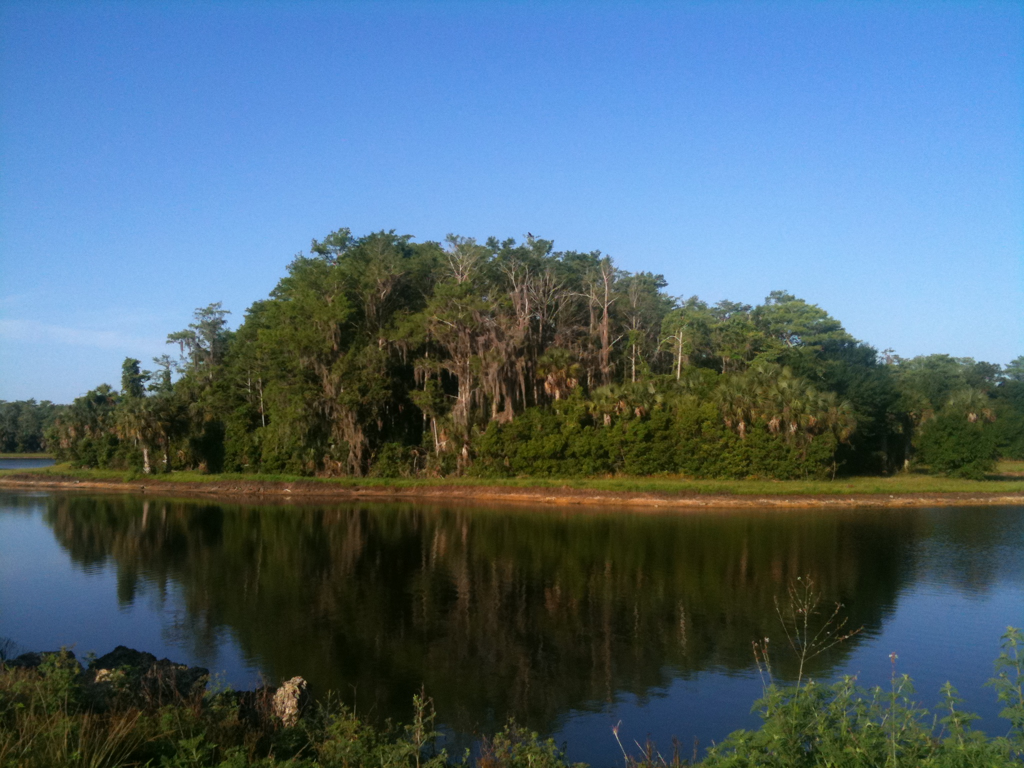
Related Photos:
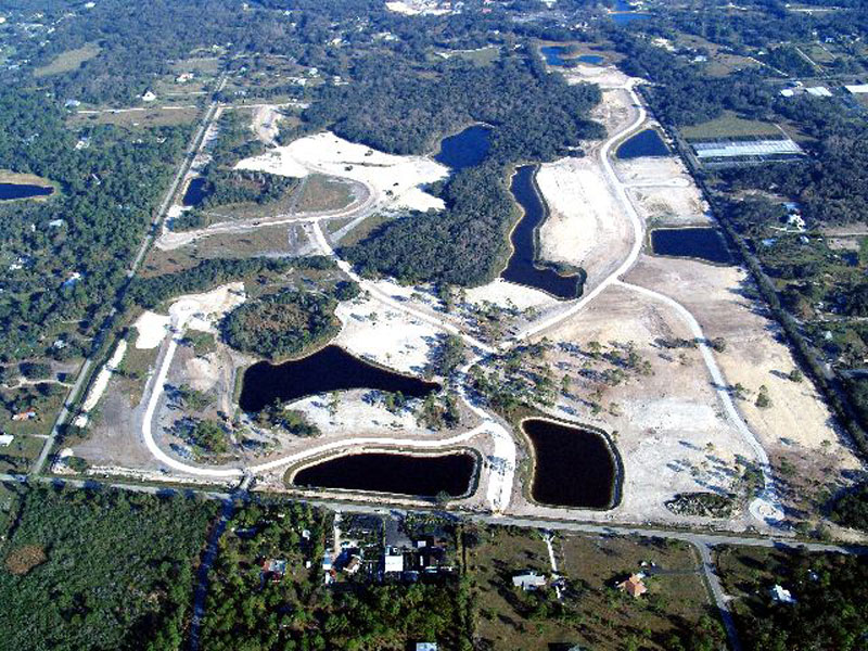
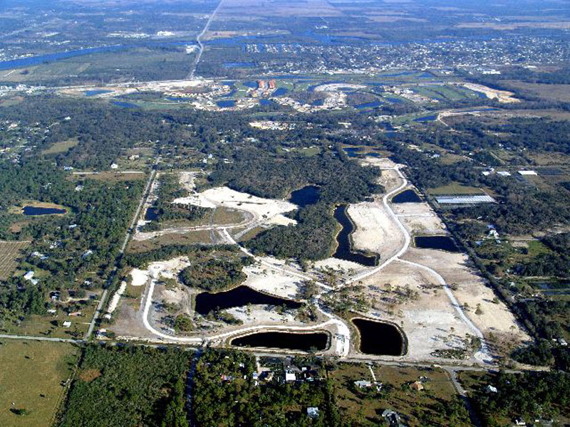
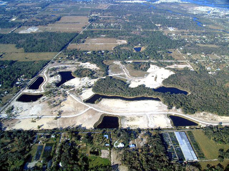
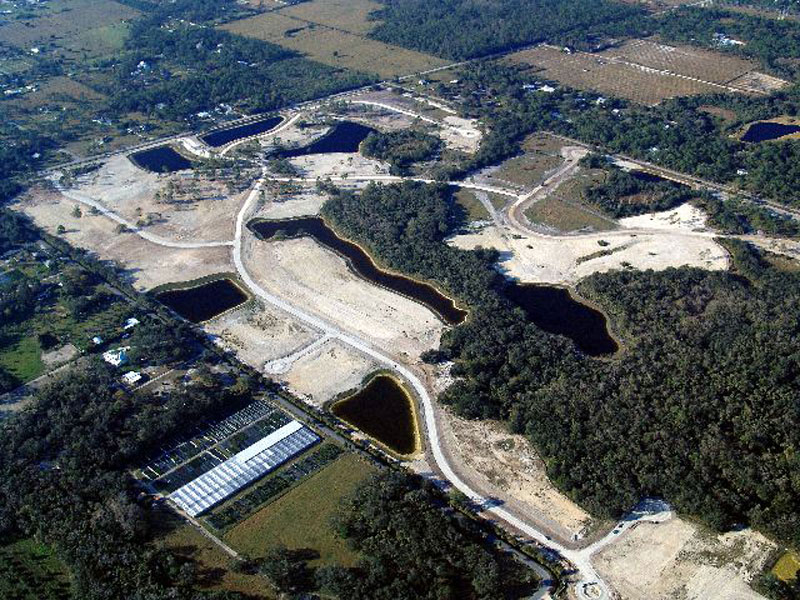
Horse Creek Subdivision Aerial View 1

Roadside Motel
Horse Creek Subdivision Aerial View 4
Horse Creek Subdivision Aerial View 5
Hurricane Charley 2
Horse Creek Subdivision Aerial View 6

Horse Creek Subdivision Aerial View 7

Horse Creek Subdivision Aerial View 8
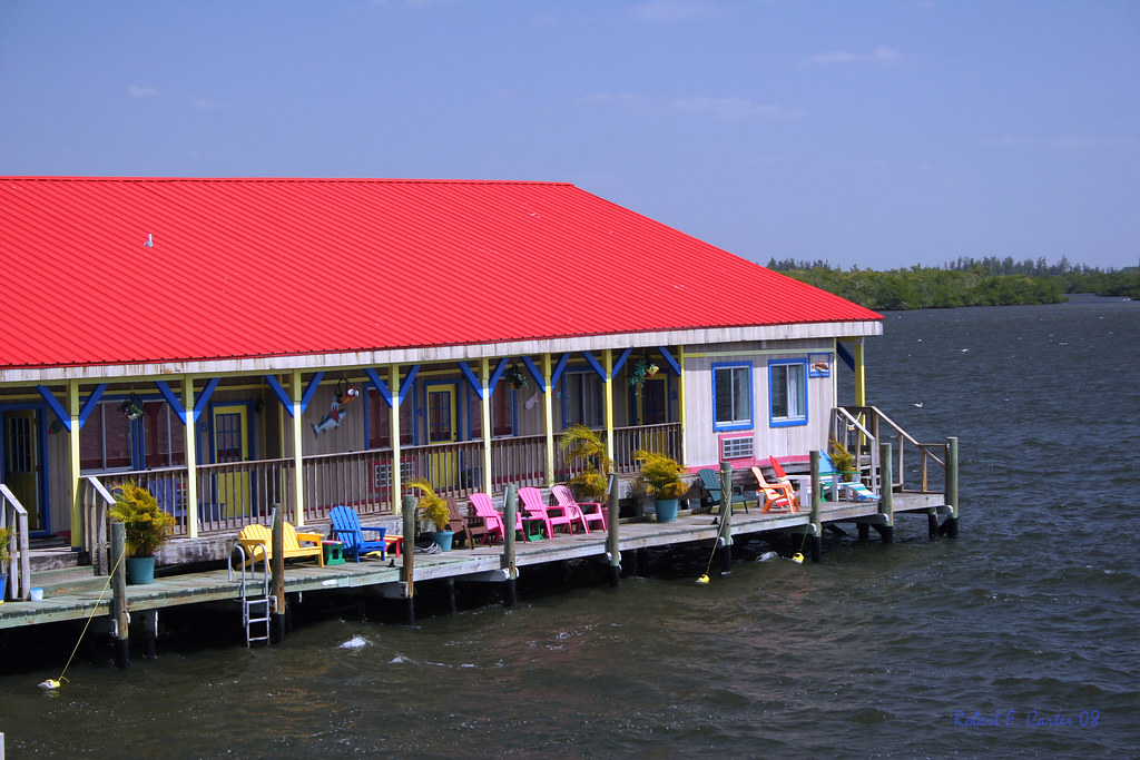
Floating Motel
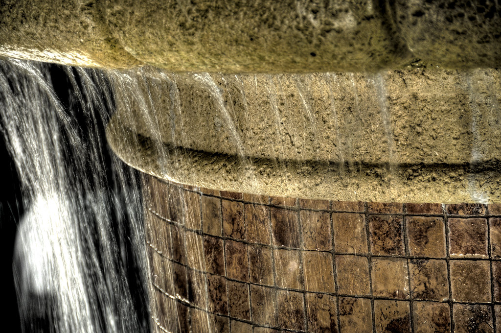
Fountain HDR

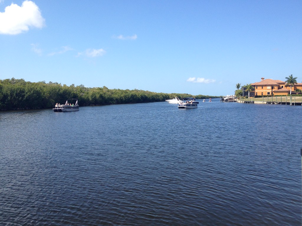
The Caloosahatchee from the Alva Bridge
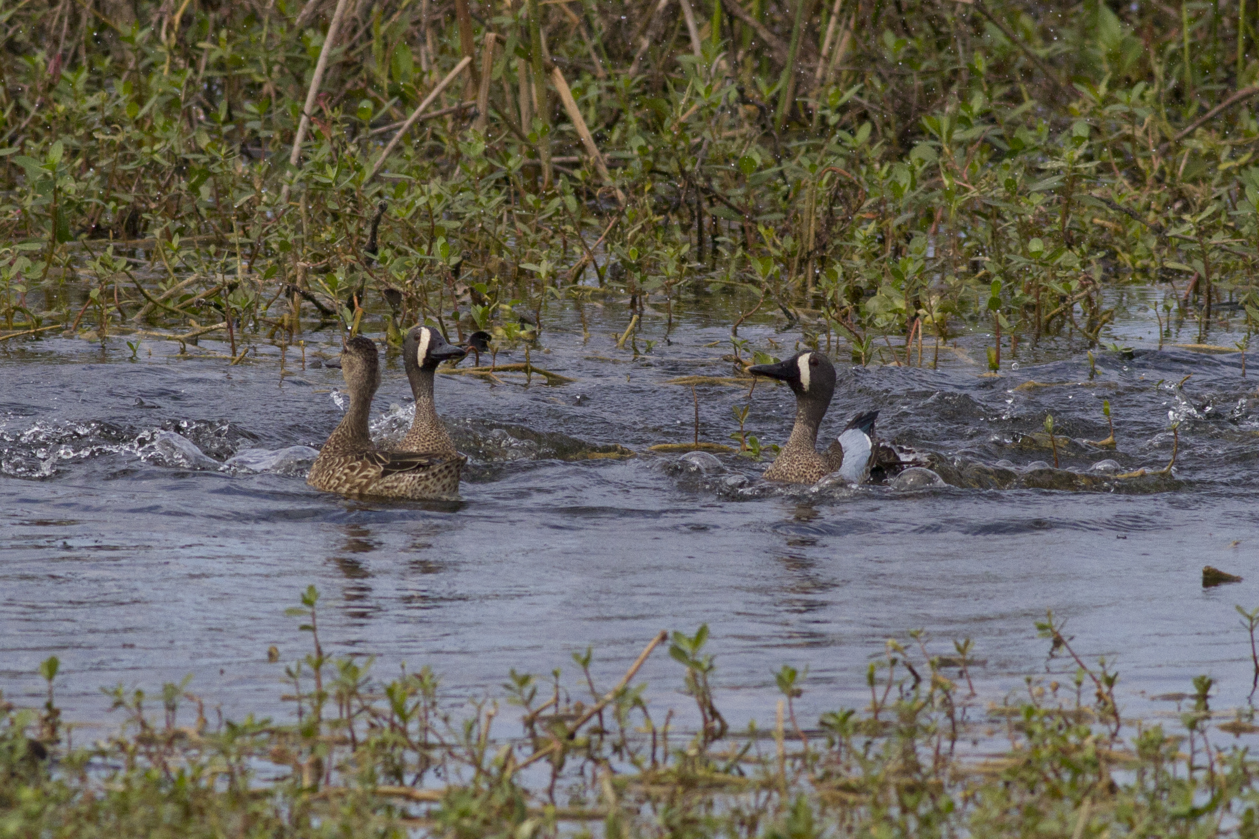
Blue-winged Teals
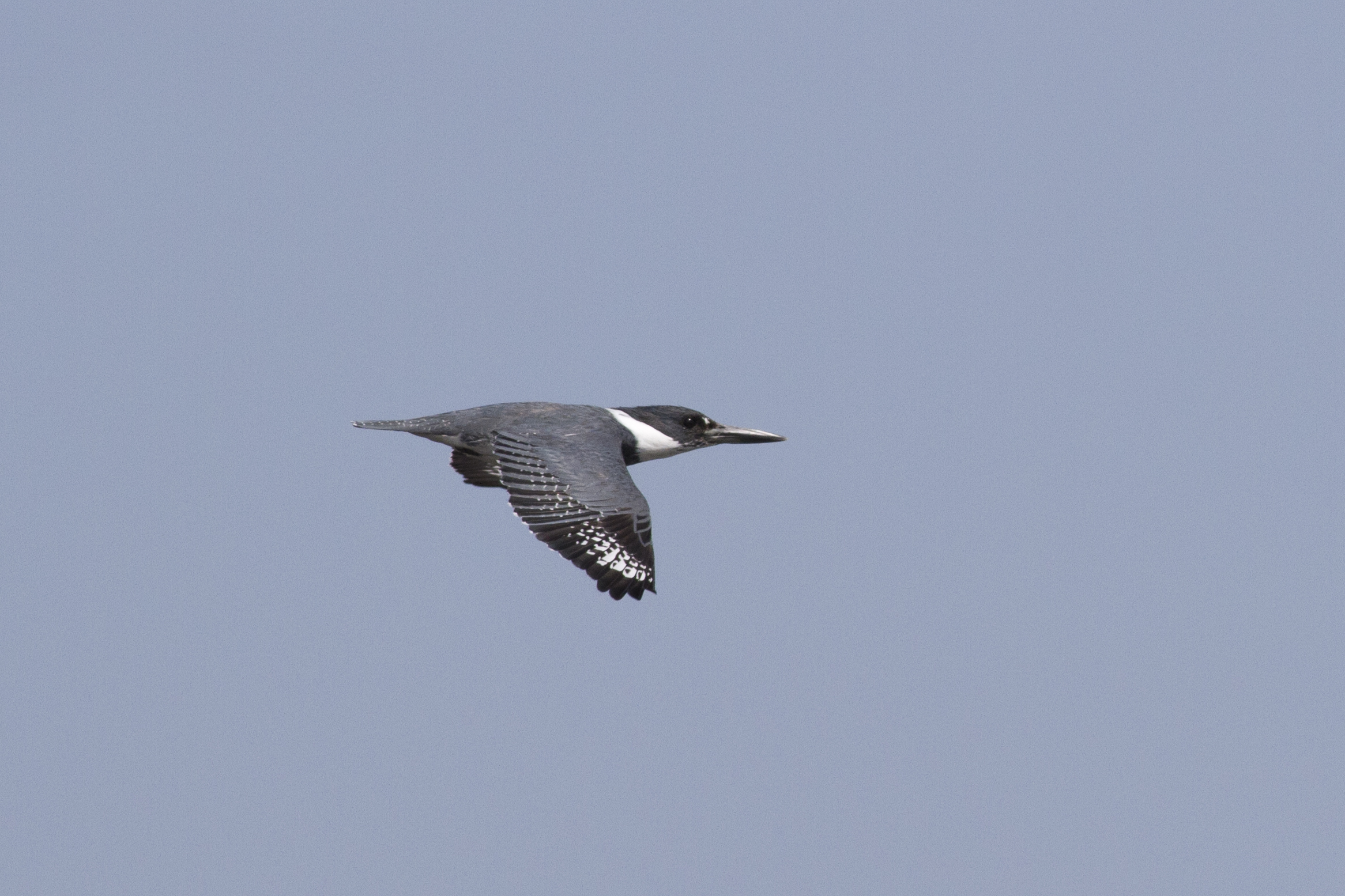
Belter Kingfisher

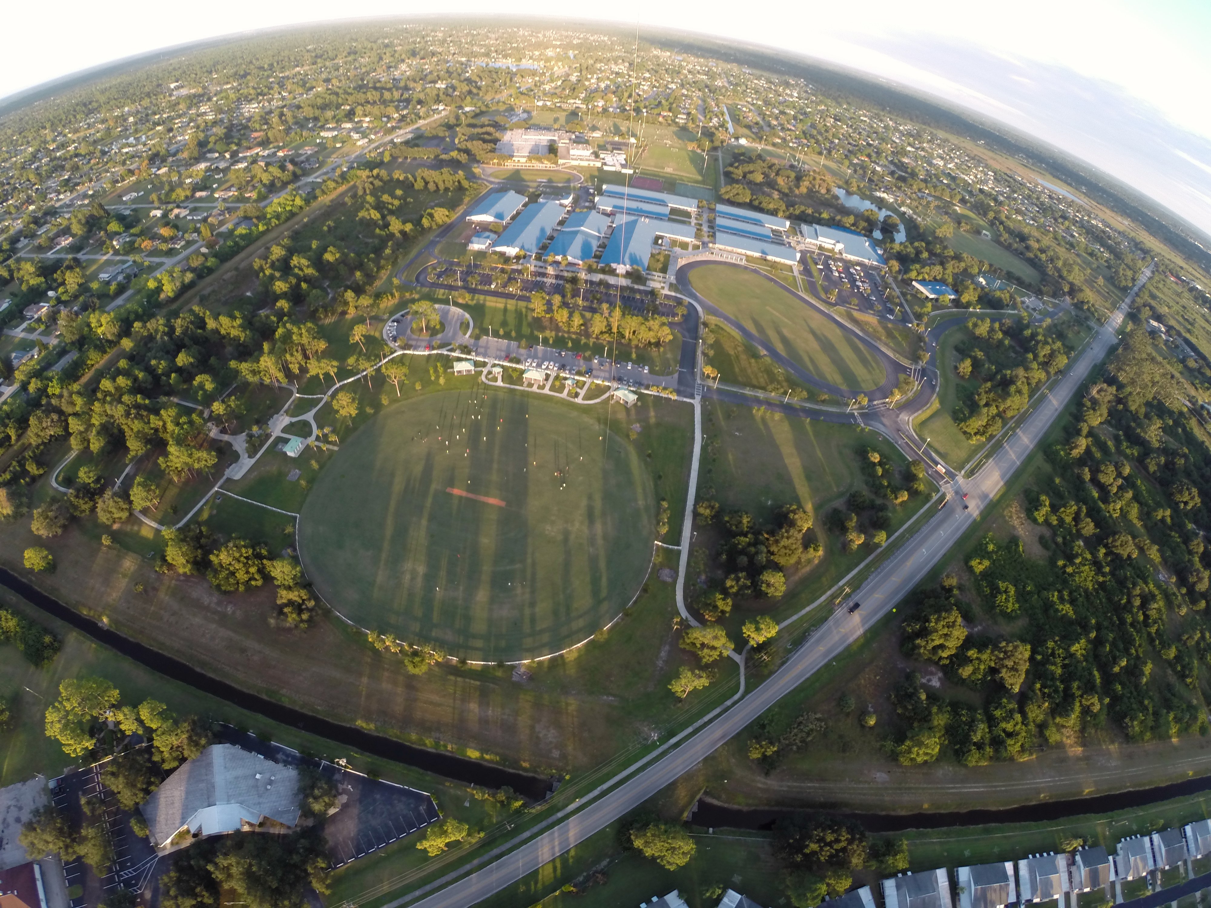
A view from Above. I used a a GoPro Hero 3+ Black Edition, a HQ Invento 2 meter Delta with 1000' 150 Lbs. Kevlar line on a Brooxes Picavet. Veterans Park, Lehigh Acres, FL. (10/23/2015).
A view from above. I used a GoPro Hero 3+ Black Edition a HQ Invento 2 Meter Delta with 1000 ft. 150 Lbs. Kevlar line.
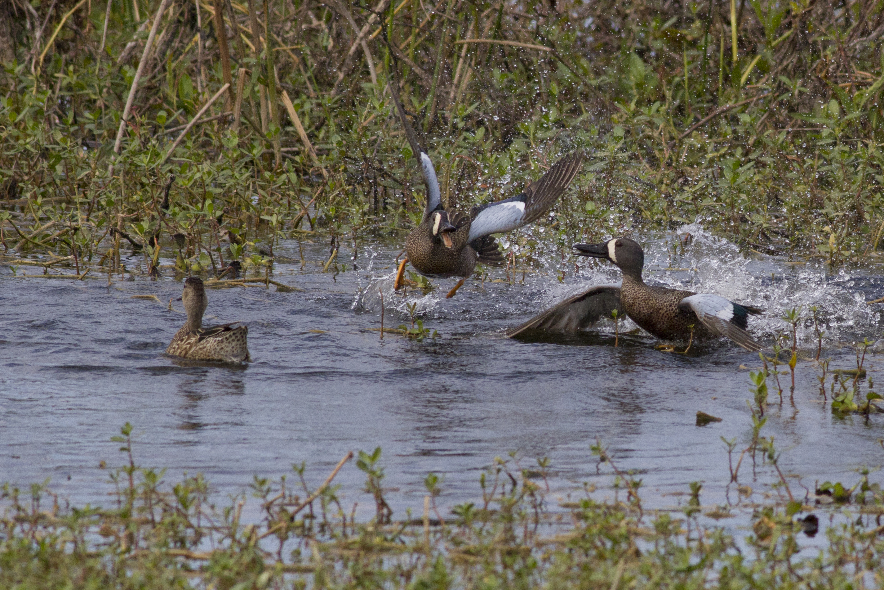
Blue-winged Teals
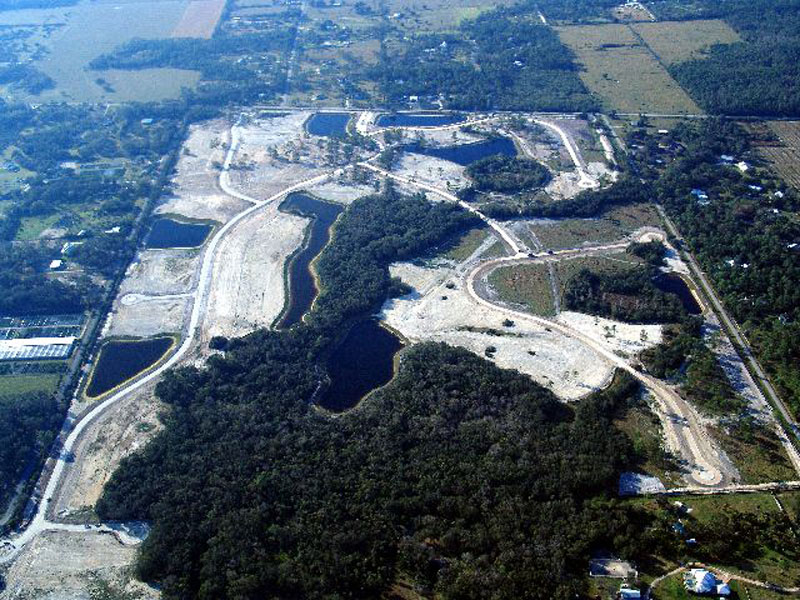
Horse Creek Subdivision Aerial View 2
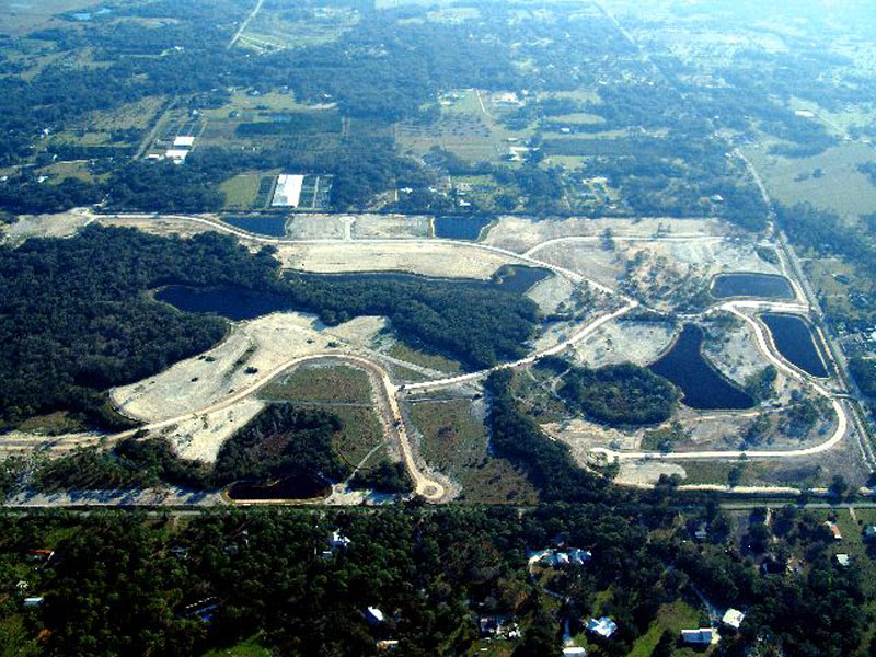
Horse Creek Subdivision Aerial View 3

Prickett's 360 view from front yard.

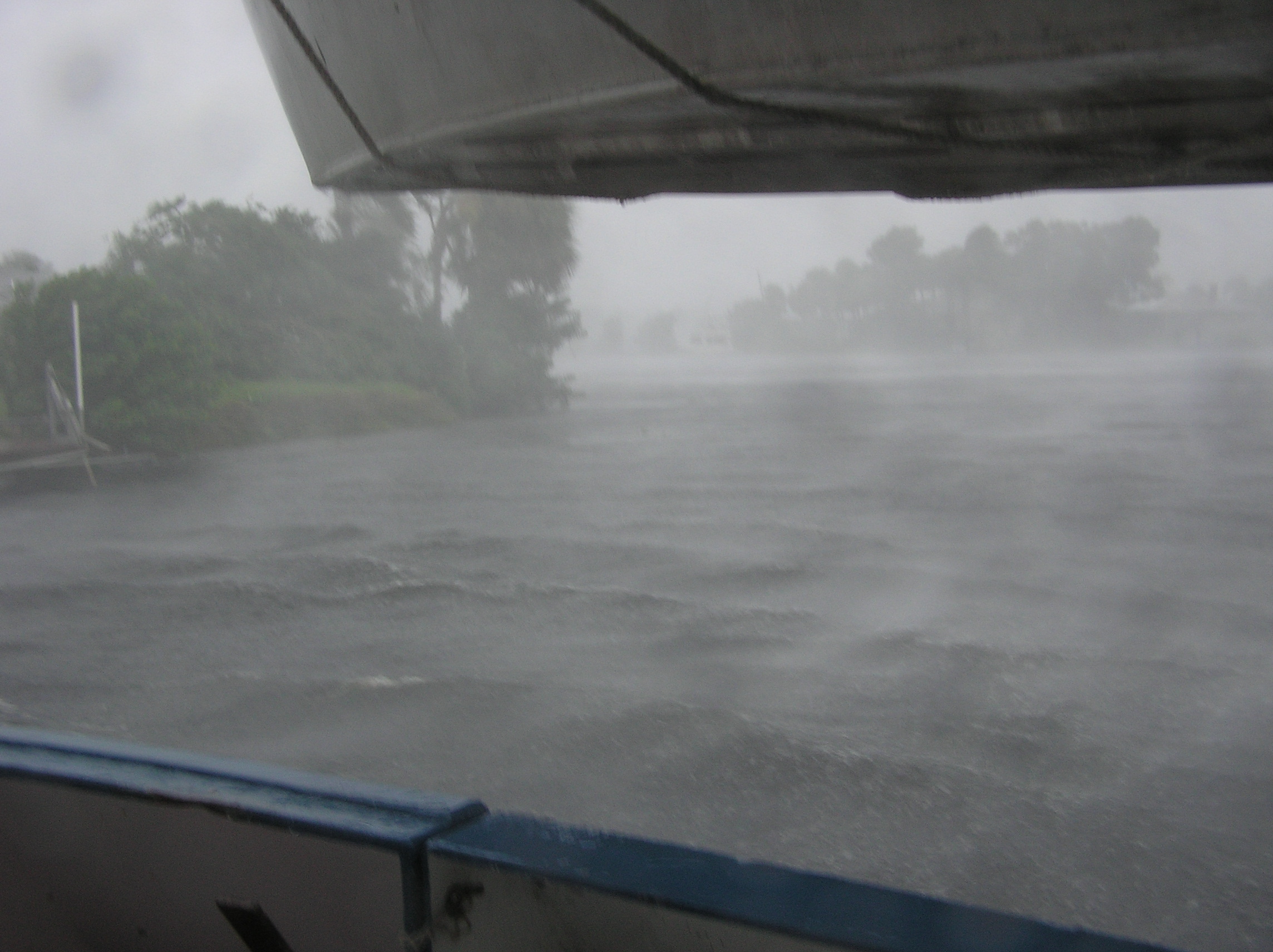
Rear view rain view
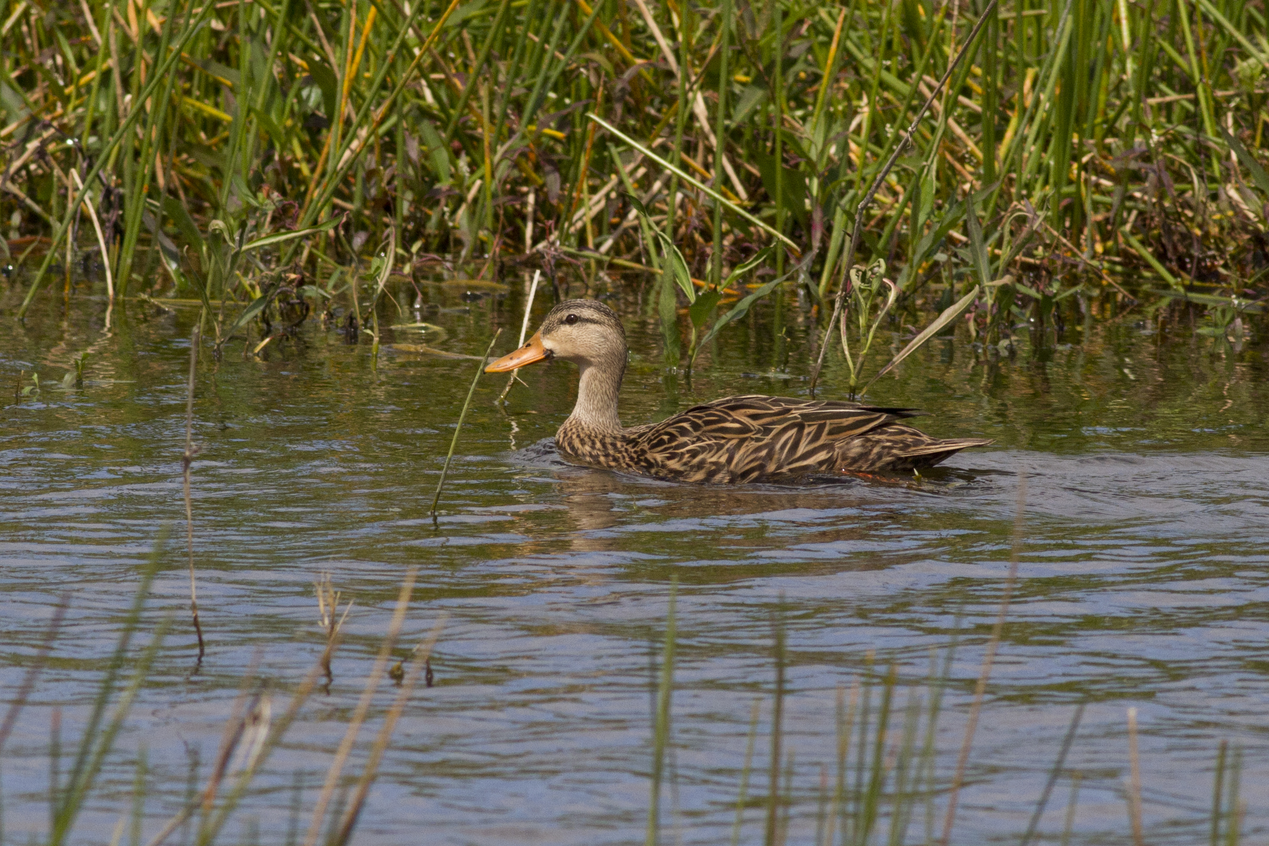
Mottled Duck
Have a nice day - traffic

Photography class-1
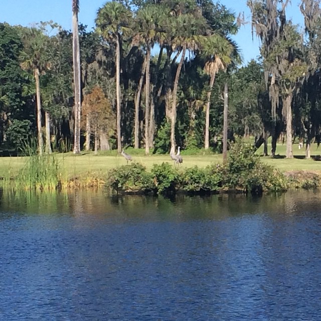
Sandhill Cranes on an oxbow.

Palm Warbler

Nature-2
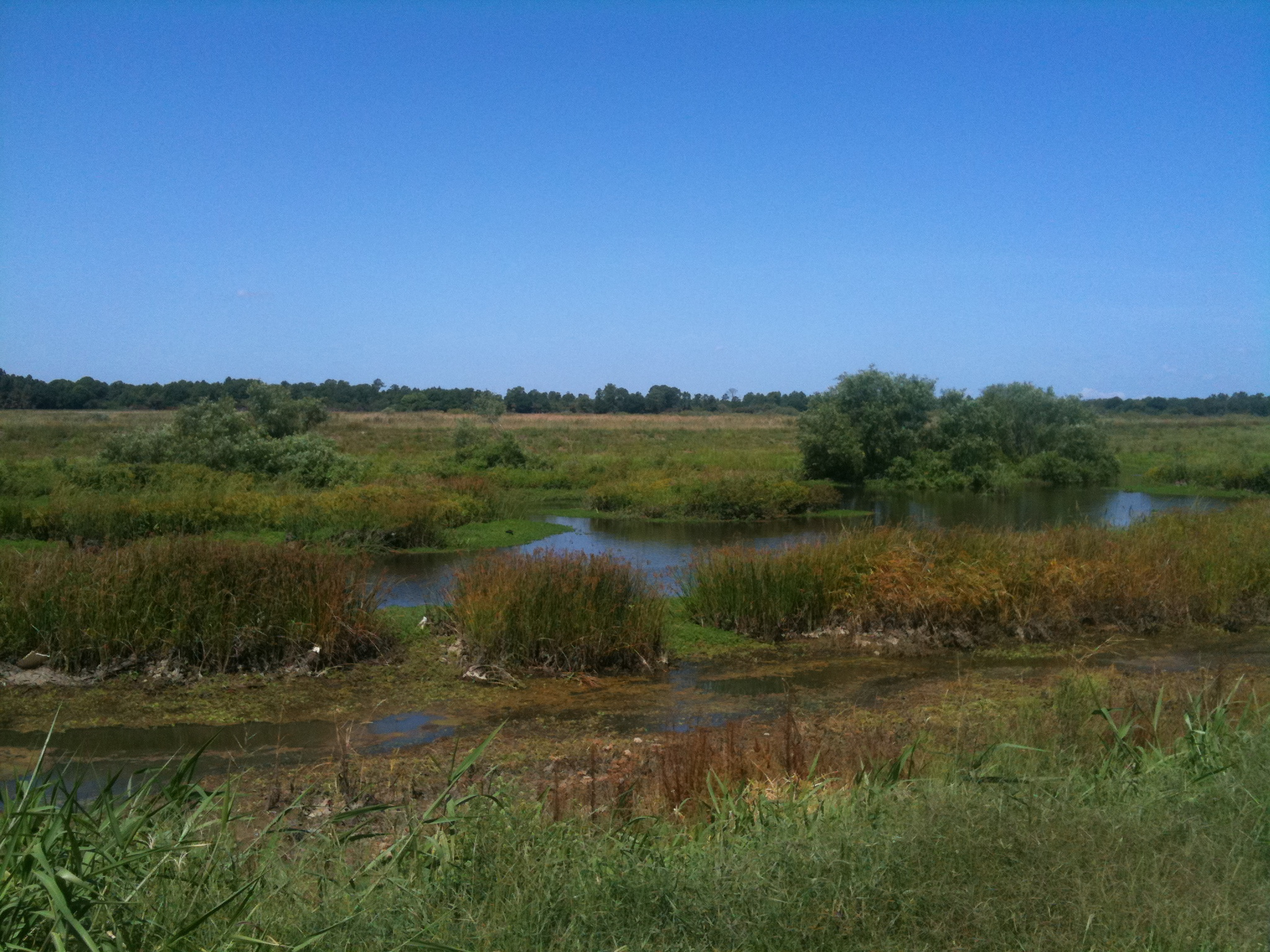
Harns Marsh

Savannah Sparrow
Good Morning Ft Myers

Caloosahatchee Regional Park
Photograph from AroundShare.com

Caloosahatchee River
Manatee watching.

Camera Roll-131
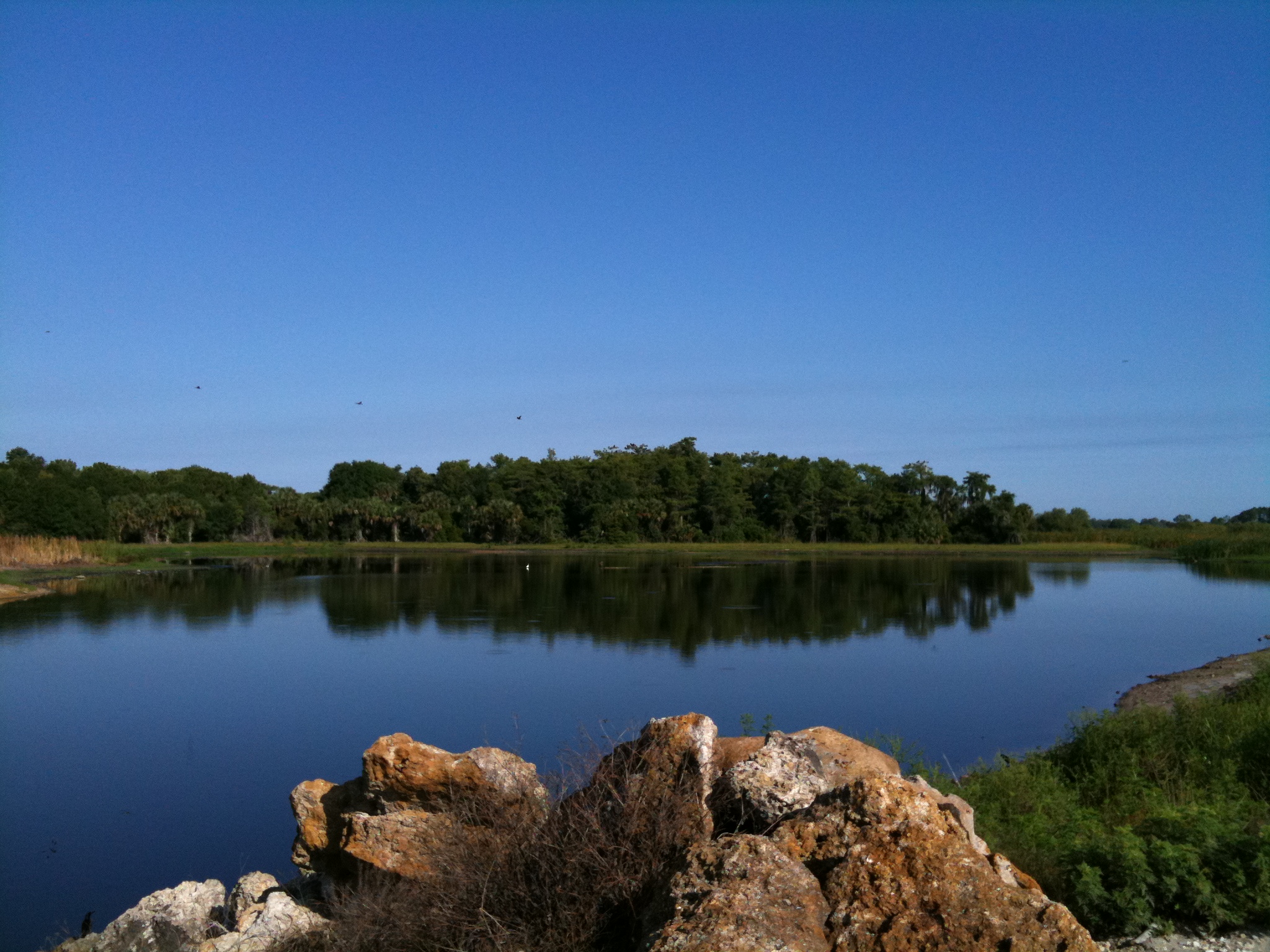
Harns Marsh Cypress Dome
Harns Marsh
Camera Roll-160

SGLR DeSoto Turn @ Fort Myers
Camera Roll-152
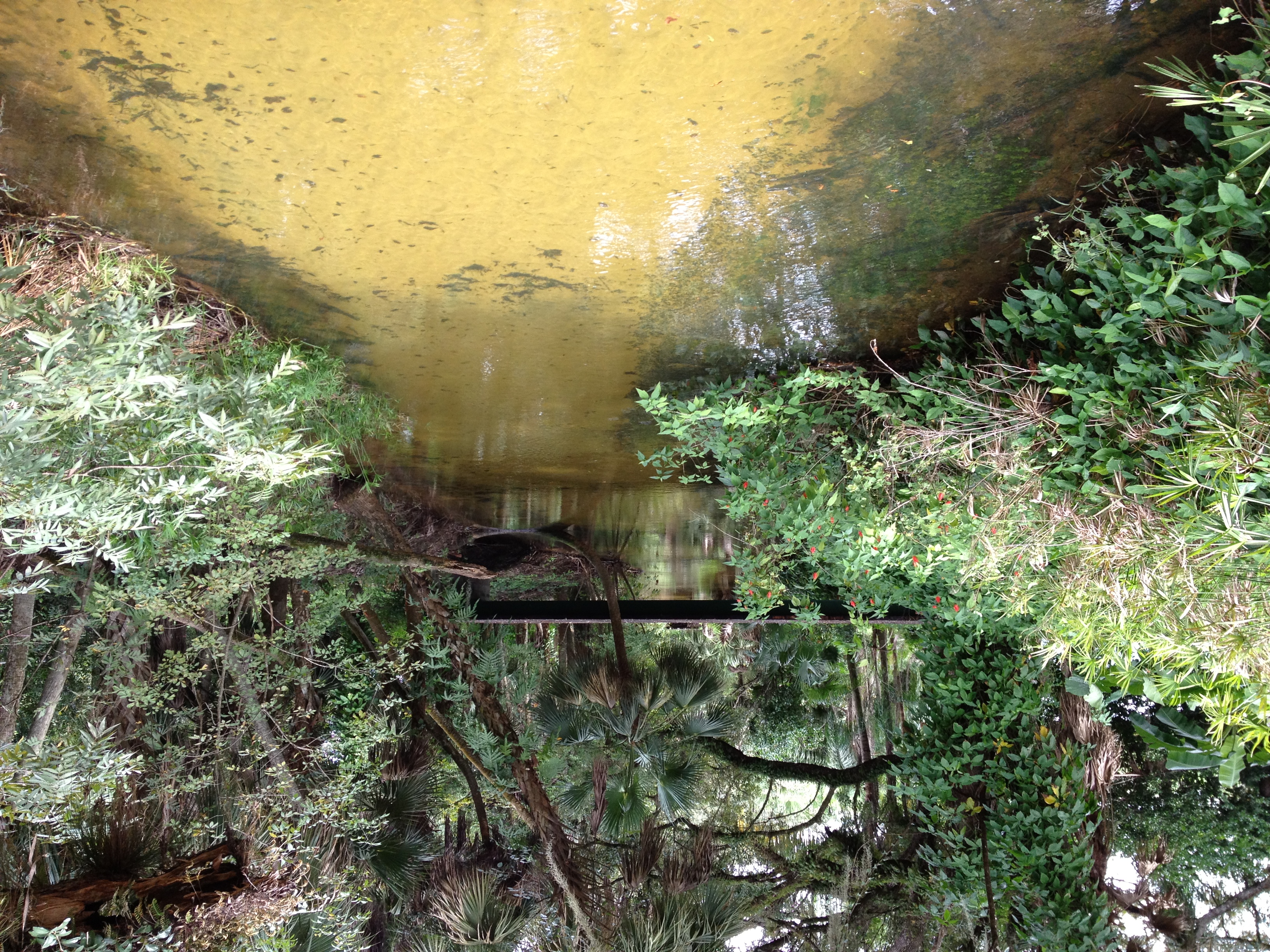
Bedman's creek in my backyard
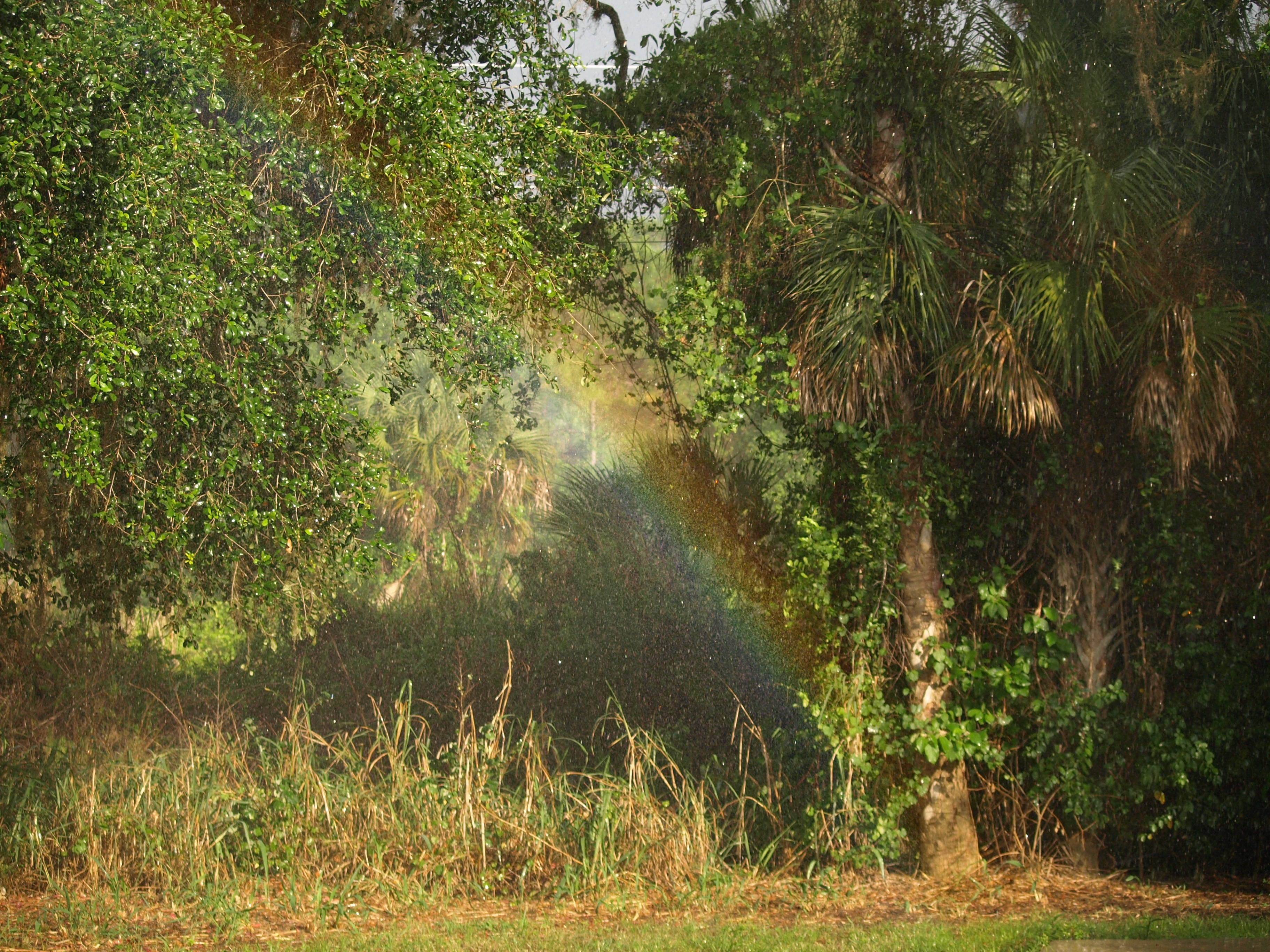
110504 Backyard Rainbow 2
Camera Roll-161
Topographic Map of N River Rd, Alva, FL, USA
Find elevation by address:

Places near N River Rd, Alva, FL, USA:
16980 River Boat Bend
15910 Rivercreek Ct
18110 Interlochen Ln
Olga
Old Olga Rd, Fort Myers, FL, USA
14905 Wise Way
17780 Wayside Bnd
Parkside At Babcock Ranch By Pulte Homes
14181 Fl-78
Founders Square At Babcock Ranch
Babcock Ranch, Florida
21591 Claytor Rd
19551 Goin Outback Dr
16927 Bridle Trail
Boardwalk Loop
17301 Deuce Rd
19710 Honey Bear Ln
10910 Sharon Dr
Freeland Lane
Wink-fm
Recent Searches:
- Elevation of Vista Blvd, Sparks, NV, USA
- Elevation of 15th Ave SE, St. Petersburg, FL, USA
- Elevation of Beall Road, Beall Rd, Florida, USA
- Elevation of Leguwa, Nepal
- Elevation of County Rd, Enterprise, AL, USA
- Elevation of Kolchuginsky District, Vladimir Oblast, Russia
- Elevation of Shustino, Vladimir Oblast, Russia
- Elevation of Lampiasi St, Sarasota, FL, USA
- Elevation of Elwyn Dr, Roanoke Rapids, NC, USA
- Elevation of Congressional Dr, Stevensville, MD, USA