Elevation of Interlochen Ln, Alva, FL, USA
Location: United States > Florida > Lee County > Alva >
Longitude: -81.697699
Latitude: 26.7257842
Elevation: -10000m / -32808feet
Barometric Pressure: 295KPa
Elevation Map:
Satellite Map:
Related Photos:

I am going to miss this view. #Palms #Florida #Sun
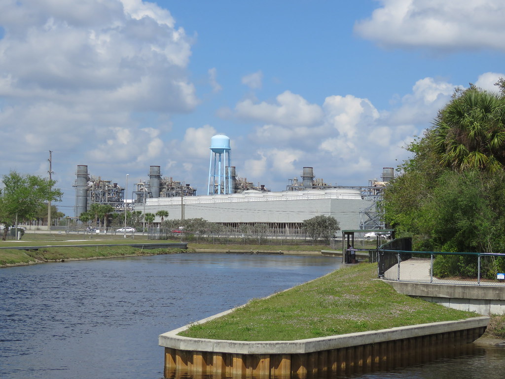
Florida Power and Light Company

Orange River

Roadside Motel
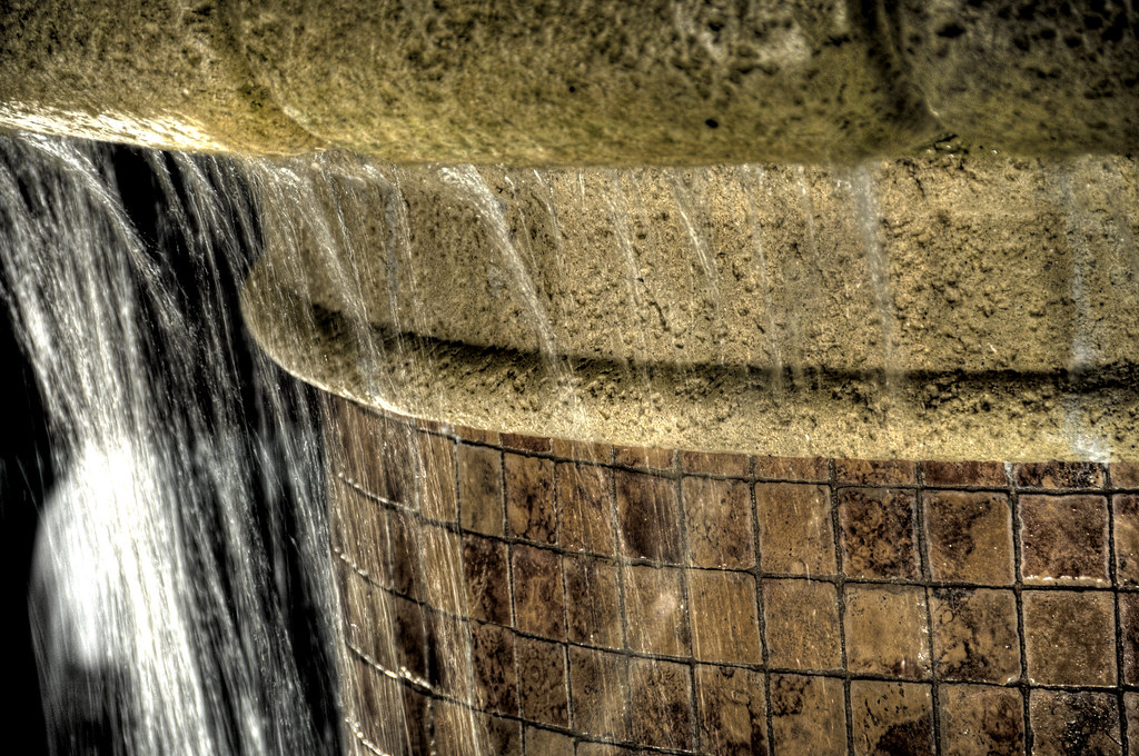
Fountain HDR

Hurricane Charley 2

Free Manatee Program

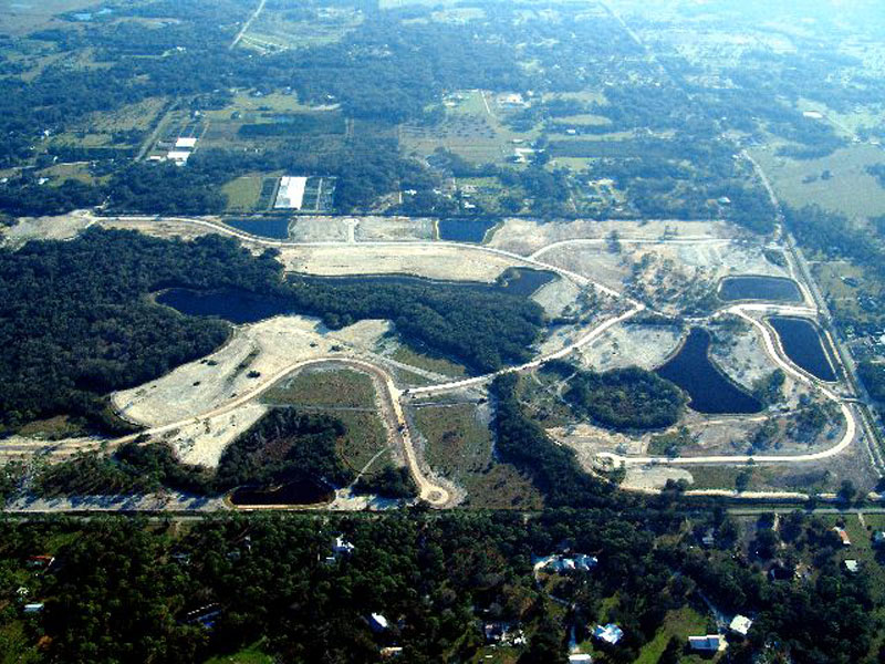
Horse Creek Subdivision Aerial View 1

Horse Creek Subdivision Aerial View 6
Horse Creek Subdivision Aerial View 5

The Caloosahatchee from the Alva Bridge

Blue-winged Teals

Belter Kingfisher

2015 October 16, Manatee Park Fort Myers

Horse Creek Subdivision Aerial View 4
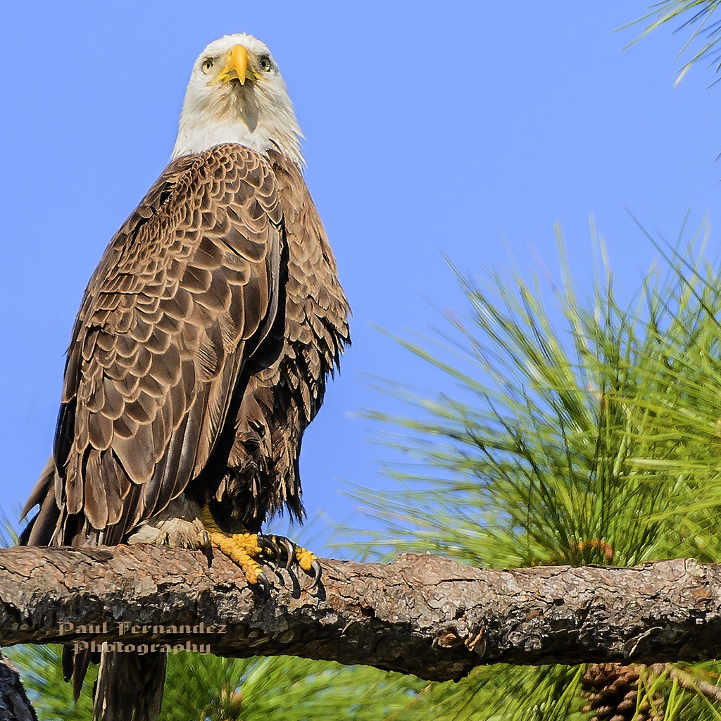
Harriet Posing for her Picture at North Ft. Myers, Florida

Rear view rain view

Horse Creek Subdivision Aerial View 8

American Bittern

White Peacock (Anartia jatrophae)

CARROTWOOD #2
Caloosahatchee River
Caloosahatchee Regional Park

Common Moorhen

Douglas DC-3s N834M & N211GB & C-117 N851M

Photograph from AroundShare.com

Uploaded - 10\27\08

Savannah Sparrow

Palm Warbler

Camera Roll-153
2012-05-29 06.45.47

Harns Marsh

Harns Marsh Cypress Dome

Harns Marsh

Camera Roll-152

Camera Roll-131
Camera Roll-161

Caloosahatchee Regional Park

Camera Roll-157
Topographic Map of Interlochen Ln, Alva, FL, USA
Find elevation by address:

Places near Interlochen Ln, Alva, FL, USA:
15910 Rivercreek Ct
N River Rd, Alva, FL, USA
16980 River Boat Bend
Olga
Old Olga Rd, Fort Myers, FL, USA
14905 Wise Way
17780 Wayside Bnd
Parkside At Babcock Ranch By Pulte Homes
Founders Square At Babcock Ranch
Babcock Ranch, Florida
17301 Deuce Rd
16927 Bridle Trail
19710 Honey Bear Ln
Boardwalk Loop
10910 Sharon Dr
14181 Fl-78
21591 Claytor Rd
19551 Goin Outback Dr
41181 Horseshoe Rd
Freeland Lane
Recent Searches:
- Elevation of Vista Blvd, Sparks, NV, USA
- Elevation of 15th Ave SE, St. Petersburg, FL, USA
- Elevation of Beall Road, Beall Rd, Florida, USA
- Elevation of Leguwa, Nepal
- Elevation of County Rd, Enterprise, AL, USA
- Elevation of Kolchuginsky District, Vladimir Oblast, Russia
- Elevation of Shustino, Vladimir Oblast, Russia
- Elevation of Lampiasi St, Sarasota, FL, USA
- Elevation of Elwyn Dr, Roanoke Rapids, NC, USA
- Elevation of Congressional Dr, Stevensville, MD, USA