Elevation of N Phil Pl, Mountain Home, ID, USA
Location: United States > Idaho > Elmore County > Mountain Home >
Longitude: -115.26190
Latitude: 43.593887
Elevation: 1380m / 4528feet
Barometric Pressure: 86KPa
Elevation Map:
Satellite Map:
Related Photos:

Poo with a view

Boys on Big Trinity Lake

Boys on Big Trinity Lake

Boys on Big Trinity Lake

Boys on Big Trinity Lake

Grizzly Adams

Boys on Big Trinity Lake
Big Lookout Lake

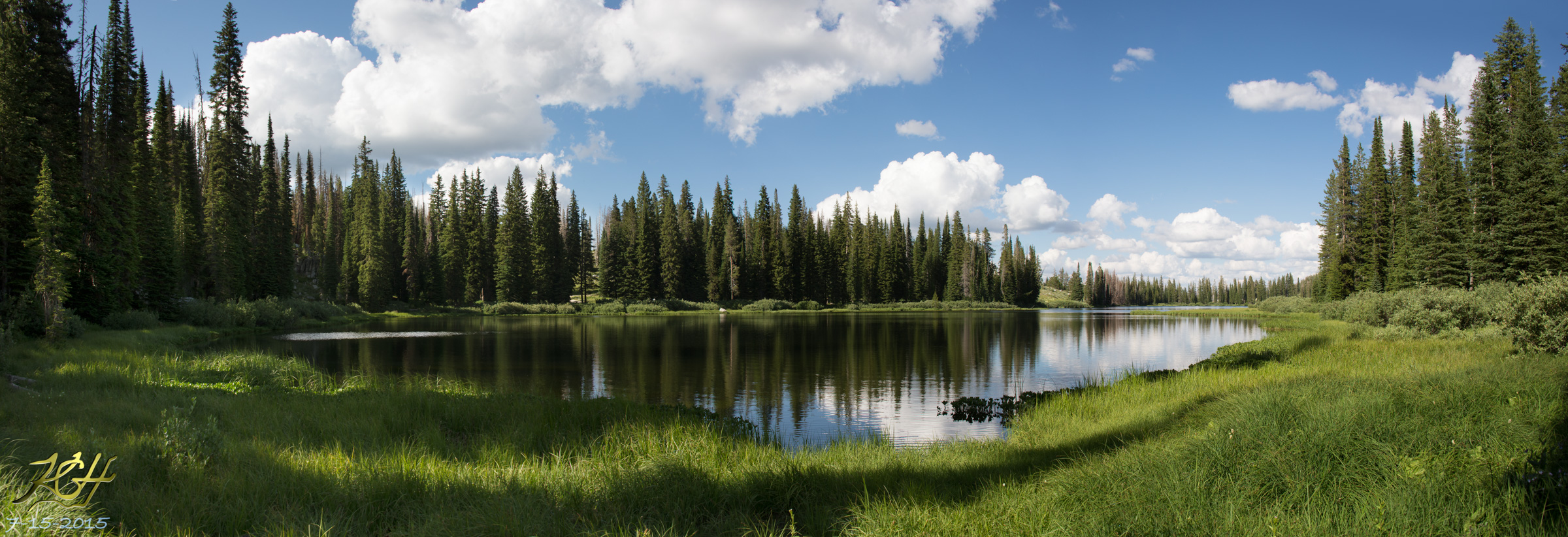
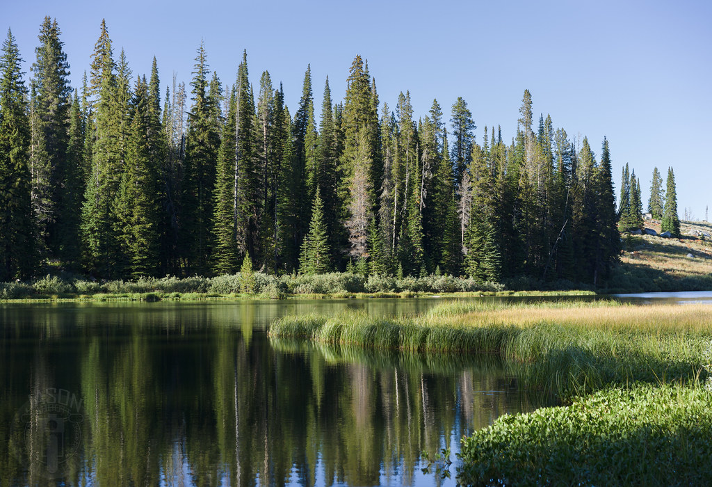
Placid lake
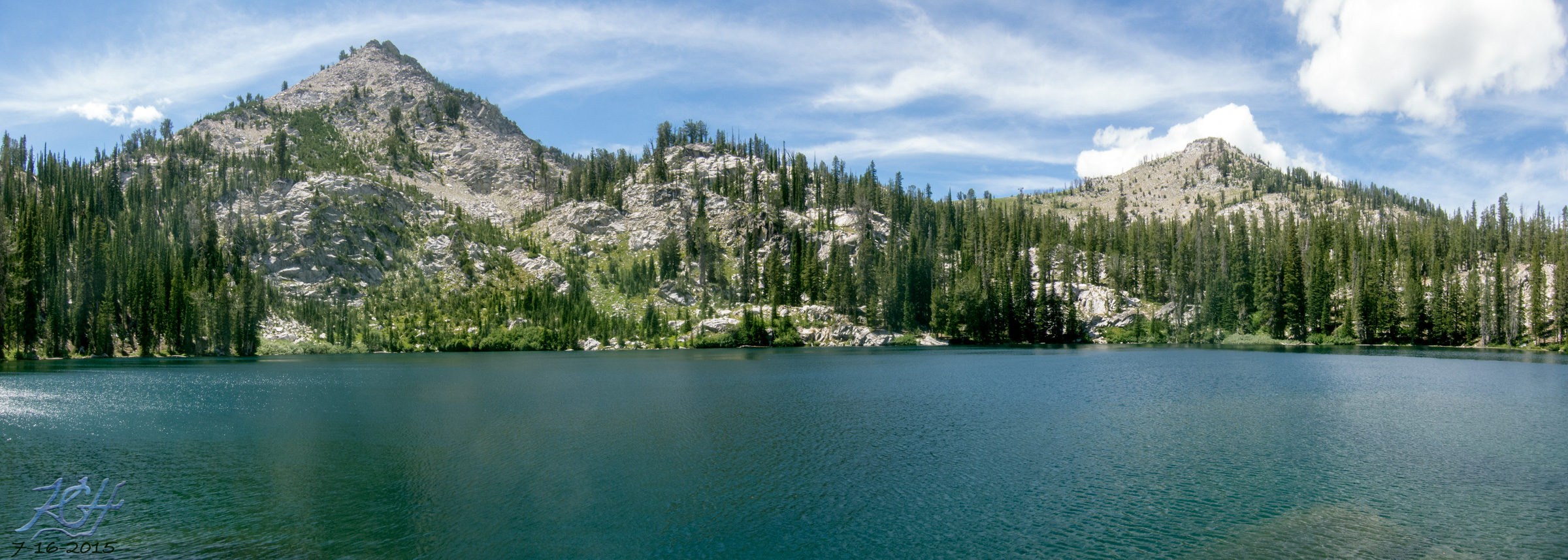
Big Trinity Lake

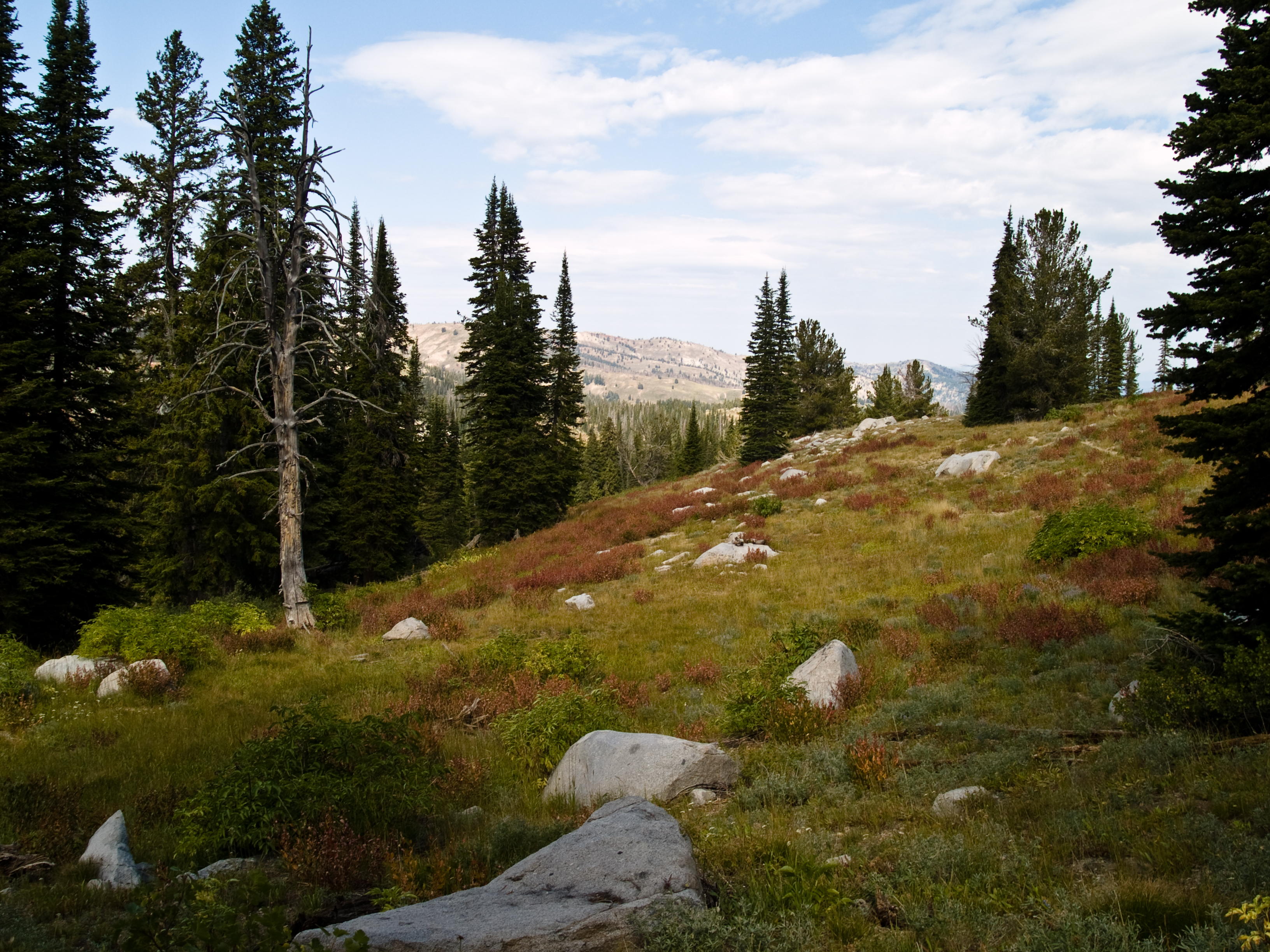
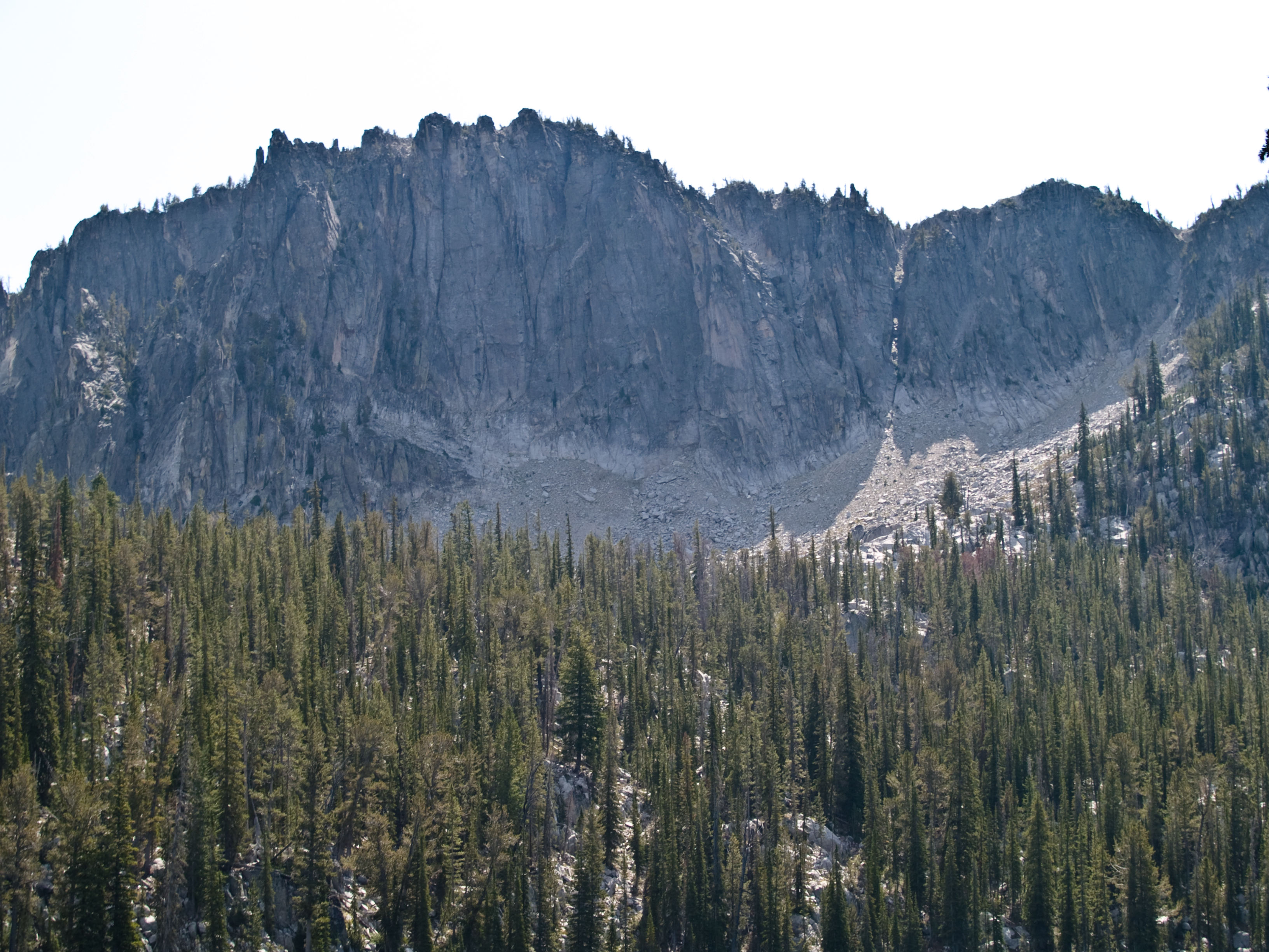
Trinity Ridge

Big Trinity Lake

Big Roaring River Lake

Burn around Little Trinity Lake

No moose
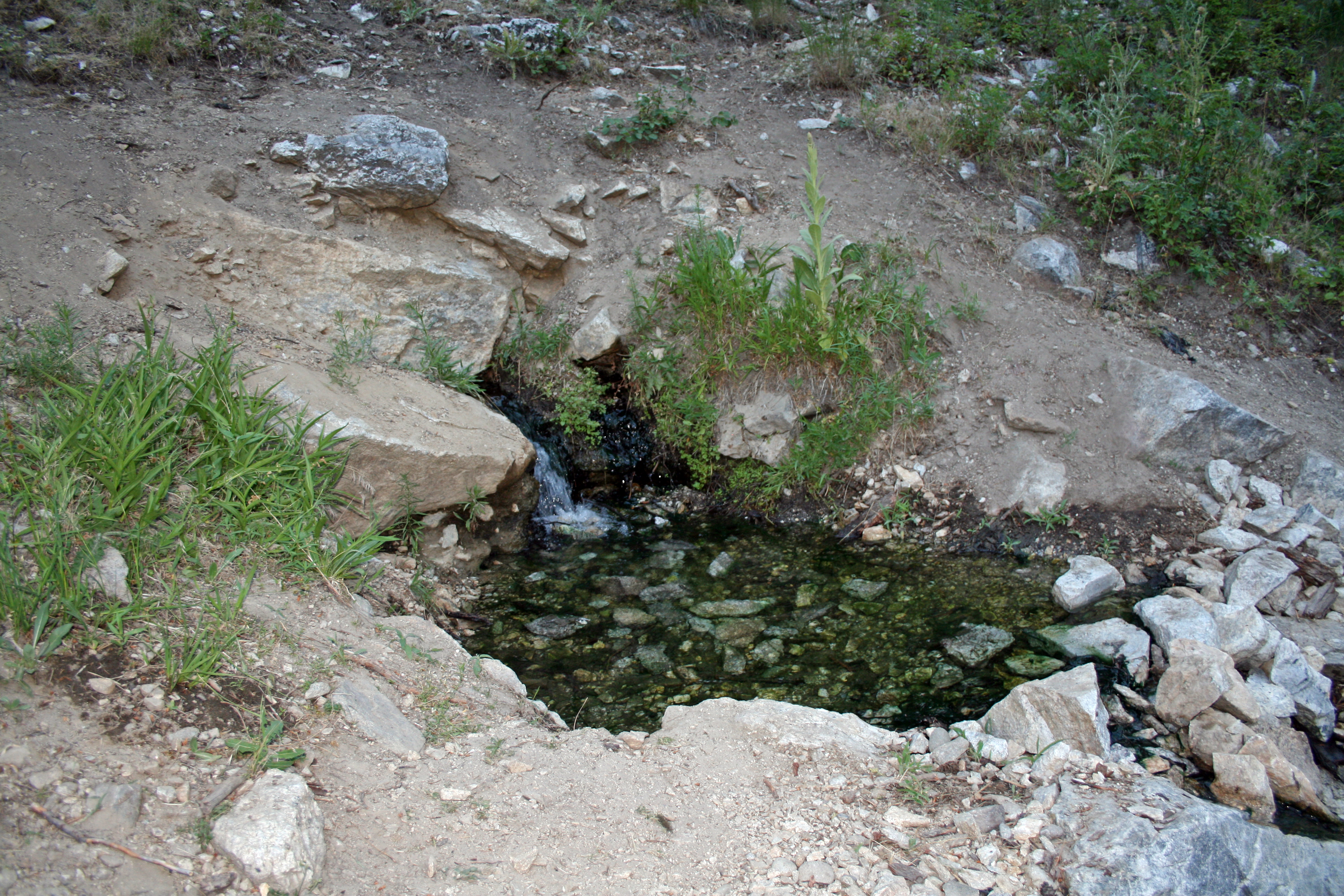
Baumgartner Hot Spring

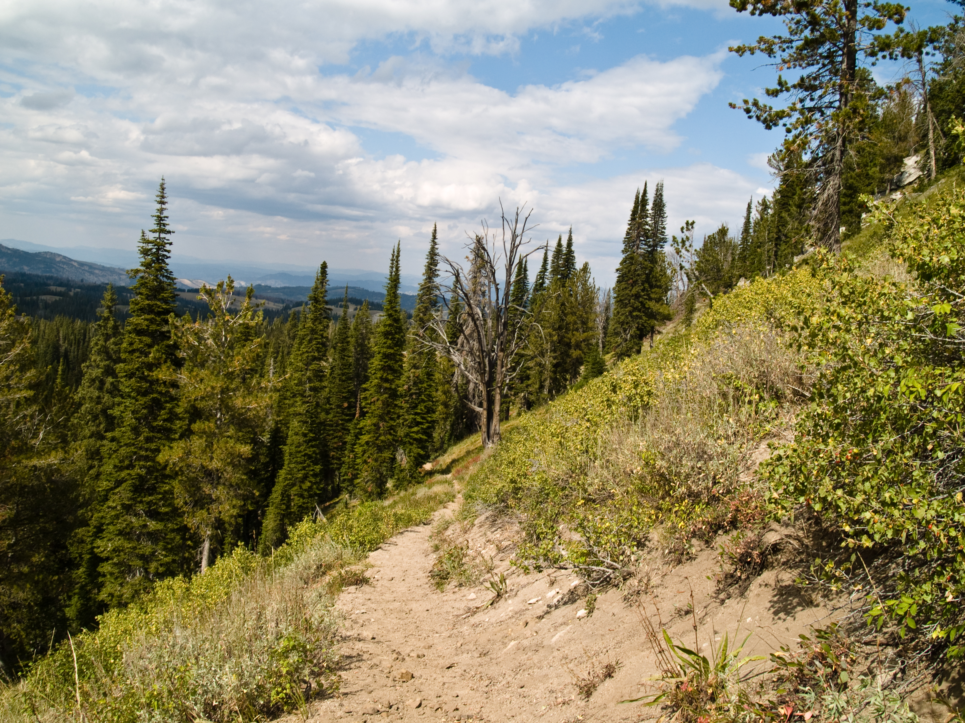
Where we’ve been
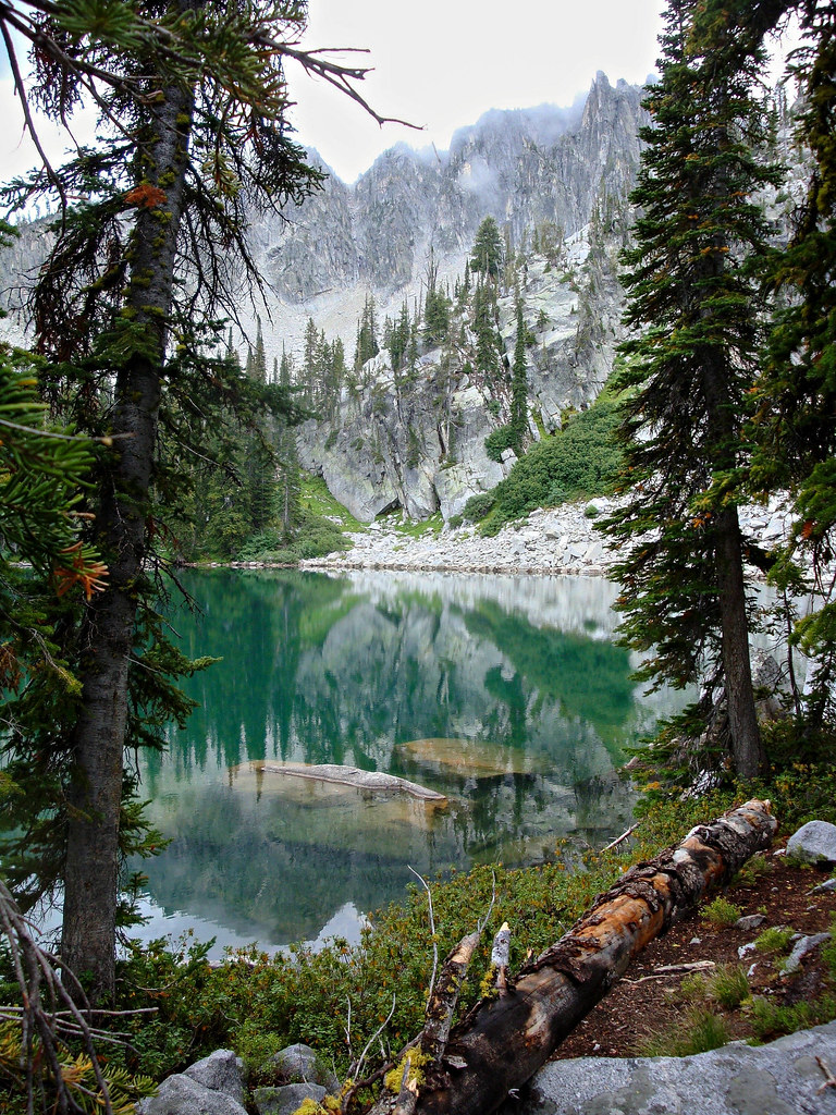
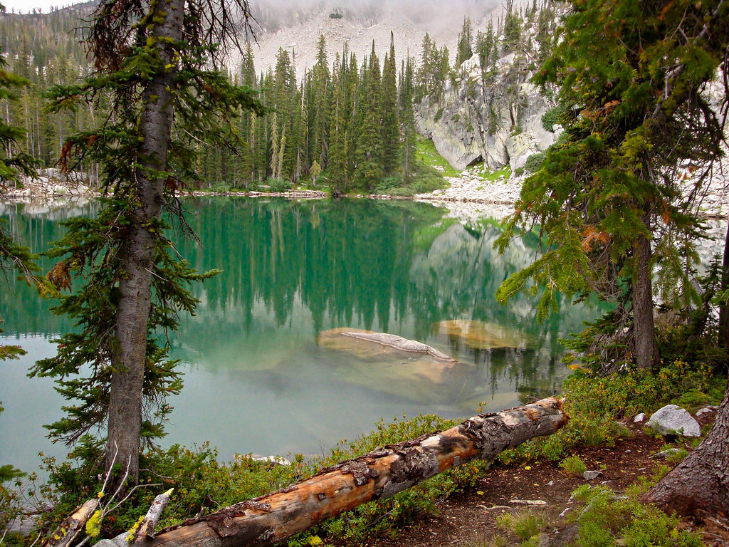
Emerald Water
Middle Rainbow Lake
Trinity Lakes-58
Big Trinity Lake
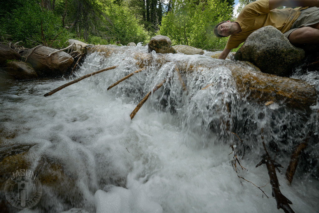
Fooling around

Trinity Lakes-63

Smoke on the water

Fooling around
Trinity Lakes-70

Idaho Bike Trip 037
Trinity Lakes-80
Topographic Map of N Phil Pl, Mountain Home, ID, USA
Find elevation by address:

Places near N Phil Pl, Mountain Home, ID, USA:
4277 N Pine-featherville Rd
Featherville
N Pine-Featherville Rd, Idaho, USA
Chaparral Campground
Baumgartner Camp Ground
255 Yuba Vista Dr
Atlanta
Johnson Creek Campground
Bowns Campground
Sawtooth Range
Sawtooth Wilderness
Twin Lakes
Toxaway Lake
Alice Lake
Alturas Inlet Campground
Sawtooth City
Alturas Tent Campground
Sawtooth National Forest
Grandjean Campground
Chemeketan Campground
Recent Searches:
- Elevation of E 63rd St, New York, NY, USA
- Elevation of Elk City, OK, USA
- Elevation of Erika Dr, Windsor, CA, USA
- Elevation of Village Ln, Finleyville, PA, USA
- Elevation of 24 Oakland Rd #, Scotland, ON N0E 1R0, Canada
- Elevation of Deep Gap Farm Rd E, Mill Spring, NC, USA
- Elevation of Dog Leg Dr, Minden, NV, USA
- Elevation of Dog Leg Dr, Minden, NV, USA
- Elevation of Kambingan Sa Pansol Atbp., Purok 7 Pansol, Candaba, Pampanga, Philippines
- Elevation of Pinewood Dr, New Bern, NC, USA