Elevation of N Ocean Dr, Port Lavaca, TX, USA
Location: United States > Texas > Calhoun County > Port Lavaca >
Longitude: -96.540343
Latitude: 28.5608842
Elevation: 3m / 10feet
Barometric Pressure: 101KPa
Elevation Map:
Satellite Map:
Related Photos:

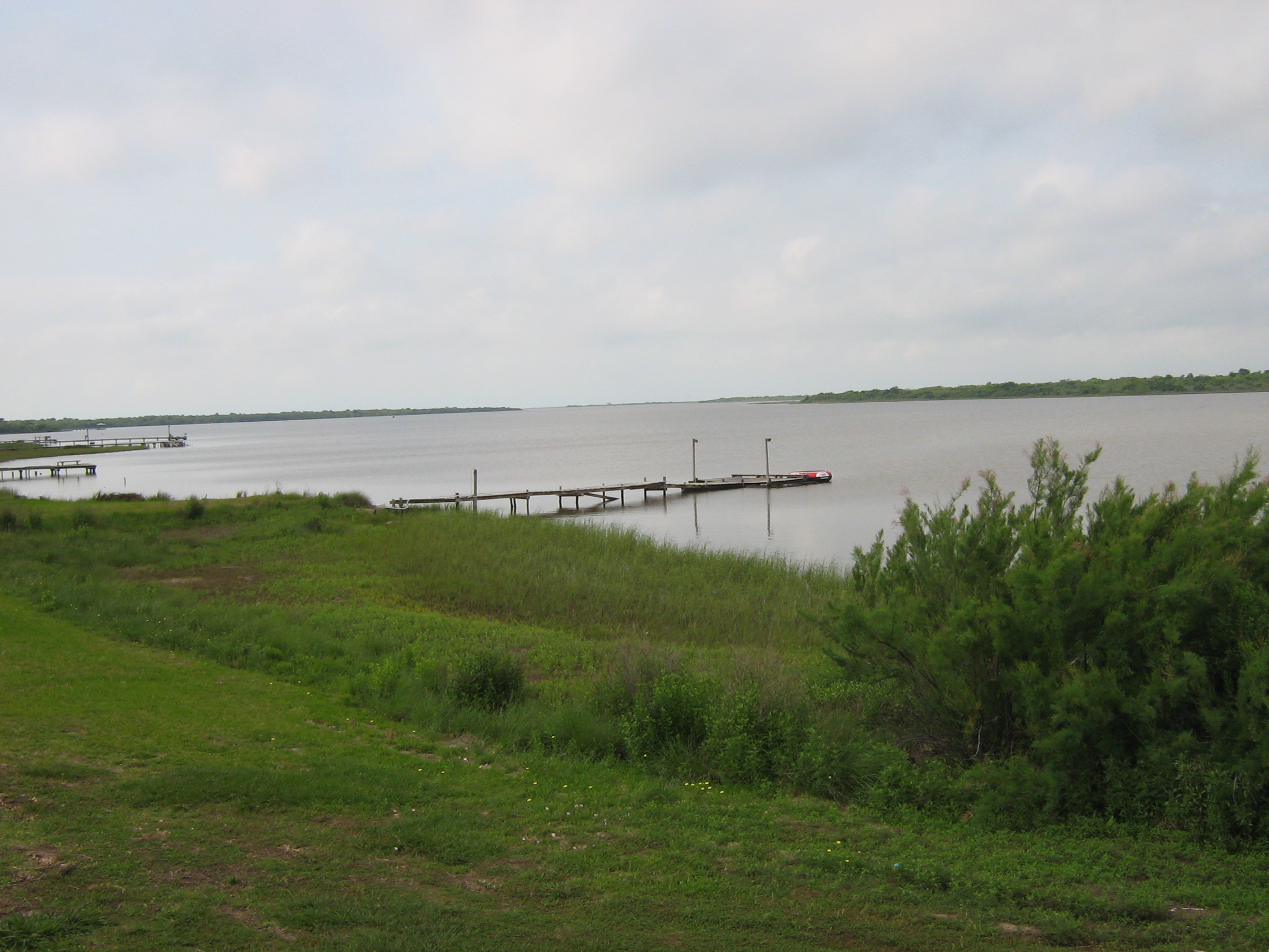
Lavaca Bay

Boardwalk View
The Griffin's Pier

The View from the Beachhouse

Beautiful Colors

The Sunset at the Beachouse
Port Lavaca, Texas

Port Lavaca, Texas

Swamp Sparrow

20170919-OC-LSC-1681

Port Lavaca, Texas

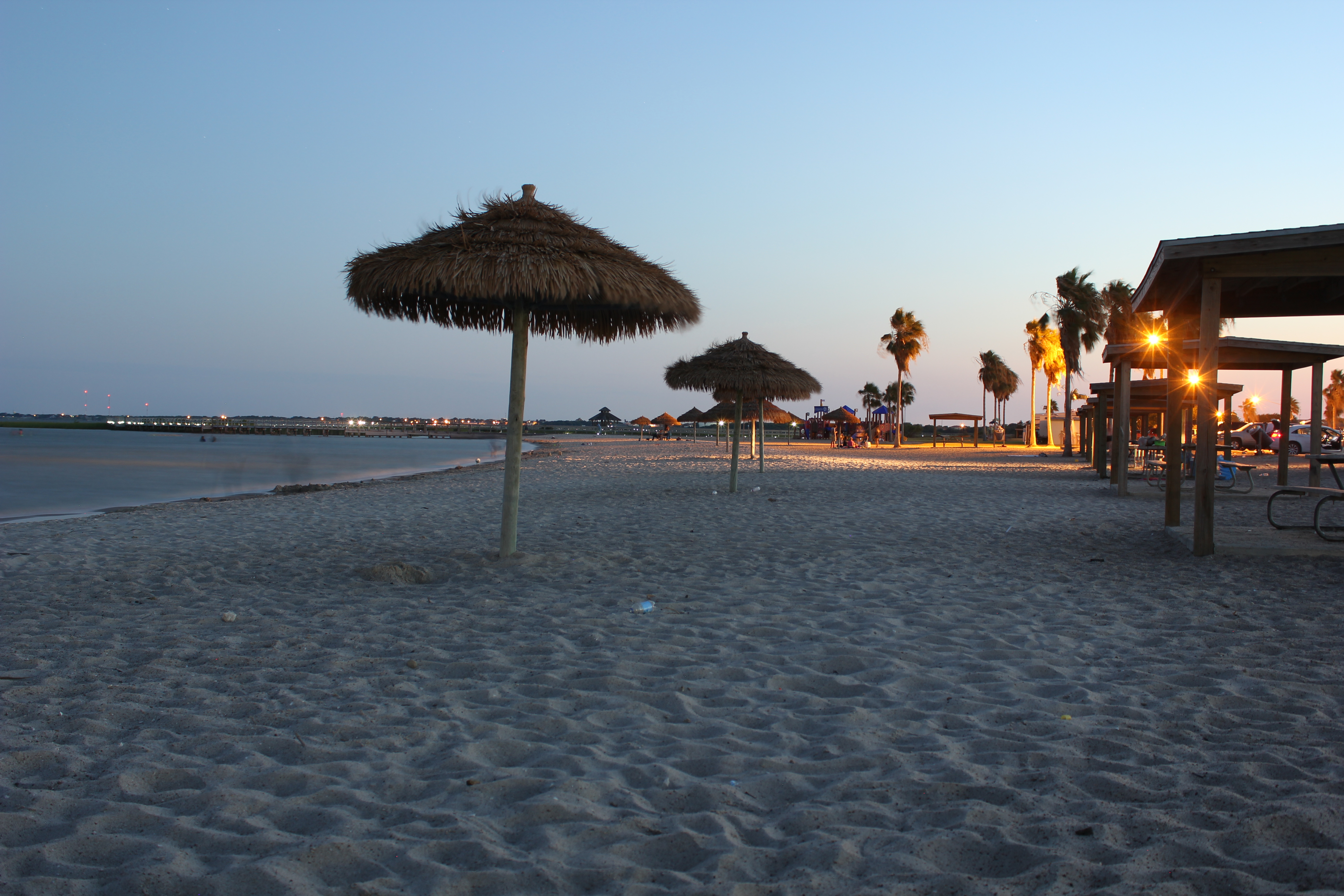
Port Lavaca Beach

Marina @ Lavaca

Port Lavaca, Texas

Keller Bay

tree shadow

Harbor @ Lavaca

Port Lavaca, Texas

Clapper Rail Response

Sunrise on Keller Bay

Magnolia Beach cacti...

Port La Vaca

FF10-68

16 Sun Set
Topographic Map of N Ocean Dr, Port Lavaca, TX, USA
Find elevation by address:

Places near N Ocean Dr, Port Lavaca, TX, USA:
22 Blackburn St, Port Lavaca, TX, USA
45 Mollnar Ave
5504 Tx-316
132 Waterfront Alley
Alamo Beach
688 Comal Rd
Indianola
433 Jack And Jill Rd
4 Villa Del Mar
810 S Colorado St
Redfish Retreat
Jackson Roosevelt Elementary
Poor Boy Bait
412 S Nueces St
832 Hackberry St
1503 Justice Dr
Bayfront Peninsula Park
2102 Jackson St
Port Lavaca
Second Street
Recent Searches:
- Elevation of Elwyn Dr, Roanoke Rapids, NC, USA
- Elevation of Congressional Dr, Stevensville, MD, USA
- Elevation of Bellview Rd, McLean, VA, USA
- Elevation of Stage Island Rd, Chatham, MA, USA
- Elevation of Shibuya Scramble Crossing, 21 Udagawacho, Shibuya City, Tokyo -, Japan
- Elevation of Jadagoniai, Kaunas District Municipality, Lithuania
- Elevation of Pagonija rock, Kranto 7-oji g. 8"N, Kaunas, Lithuania
- Elevation of Co Rd 87, Jamestown, CO, USA
- Elevation of Tenjo, Cundinamarca, Colombia
- Elevation of Côte-des-Neiges, Montreal, QC H4A 3J6, Canada