Elevation of N Oakway Ave, San Dimas, CA, USA
Location: United States > California > Los Angeles County > San Dimas >
Longitude: -117.81719
Latitude: 34.1149904
Elevation: 284m / 932feet
Barometric Pressure: 98KPa
Elevation Map:
Satellite Map:
Related Photos:

Storm Clouds over Brown Hills
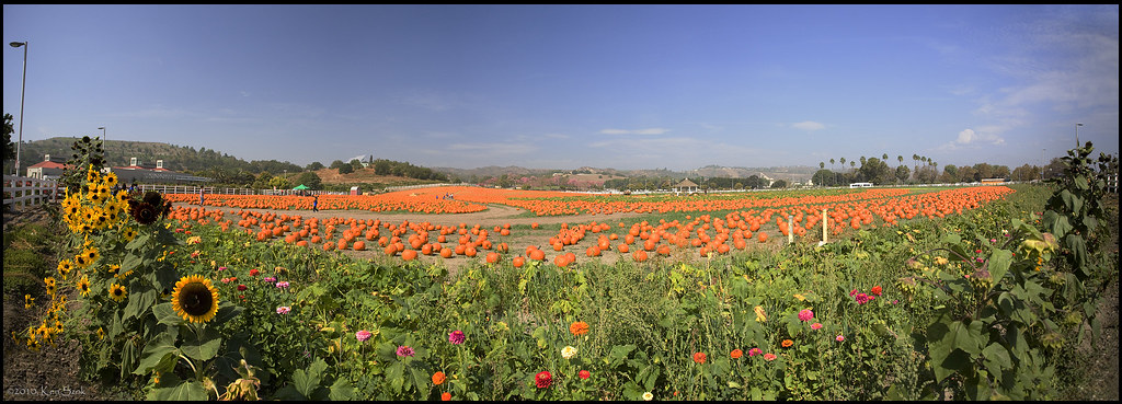
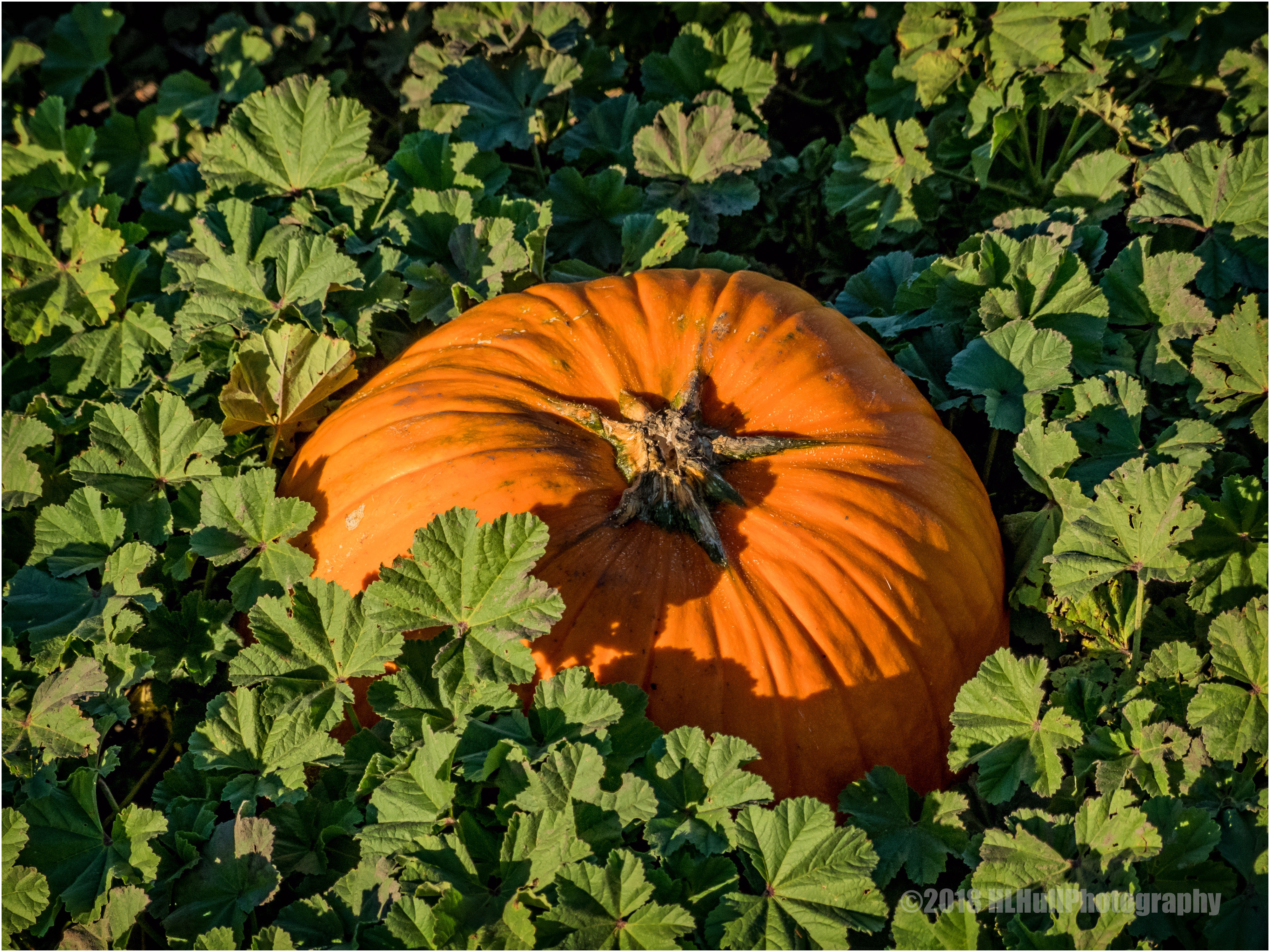
Cal Poly Pumpkin Patch Panorama
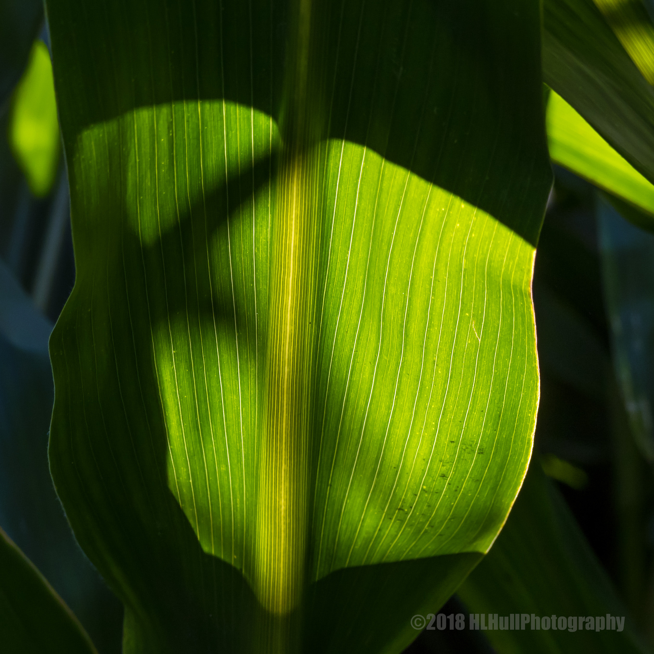
Backlit corn stalk leaf...
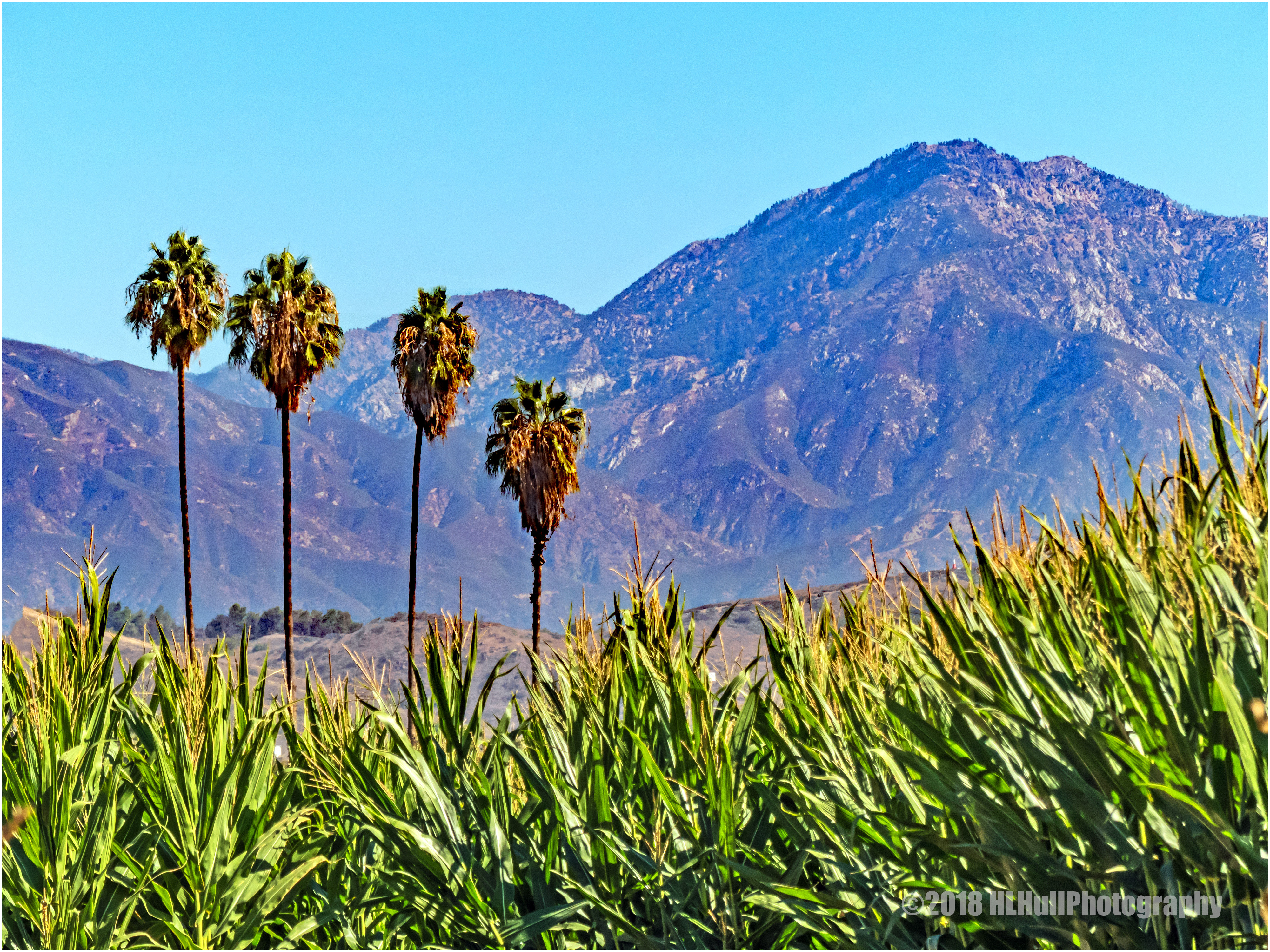
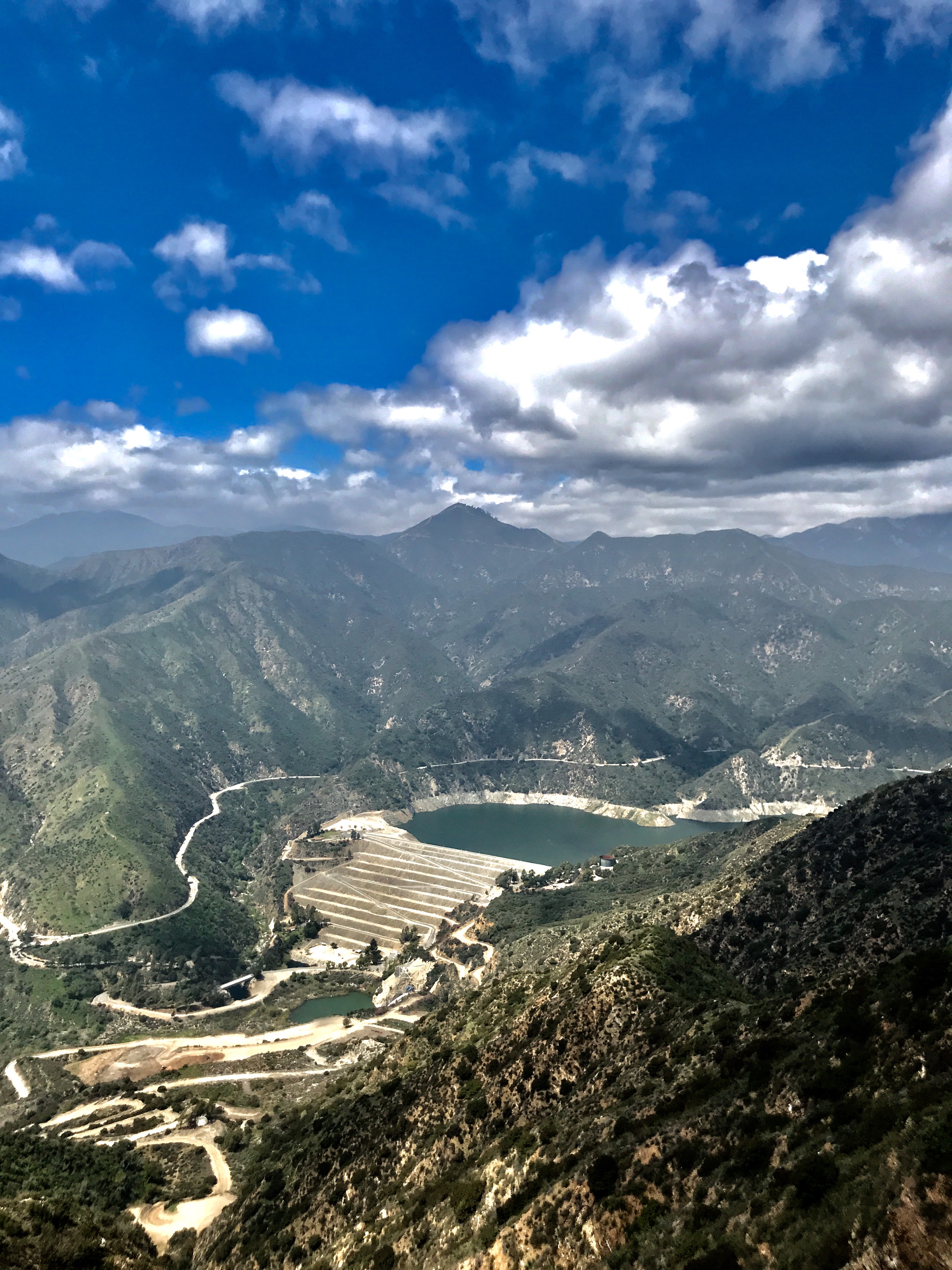
San Gabriel Mountains...

Little Miss Scarecrow...
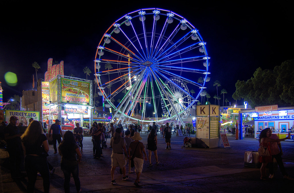
Late Summer Night at the County Fair
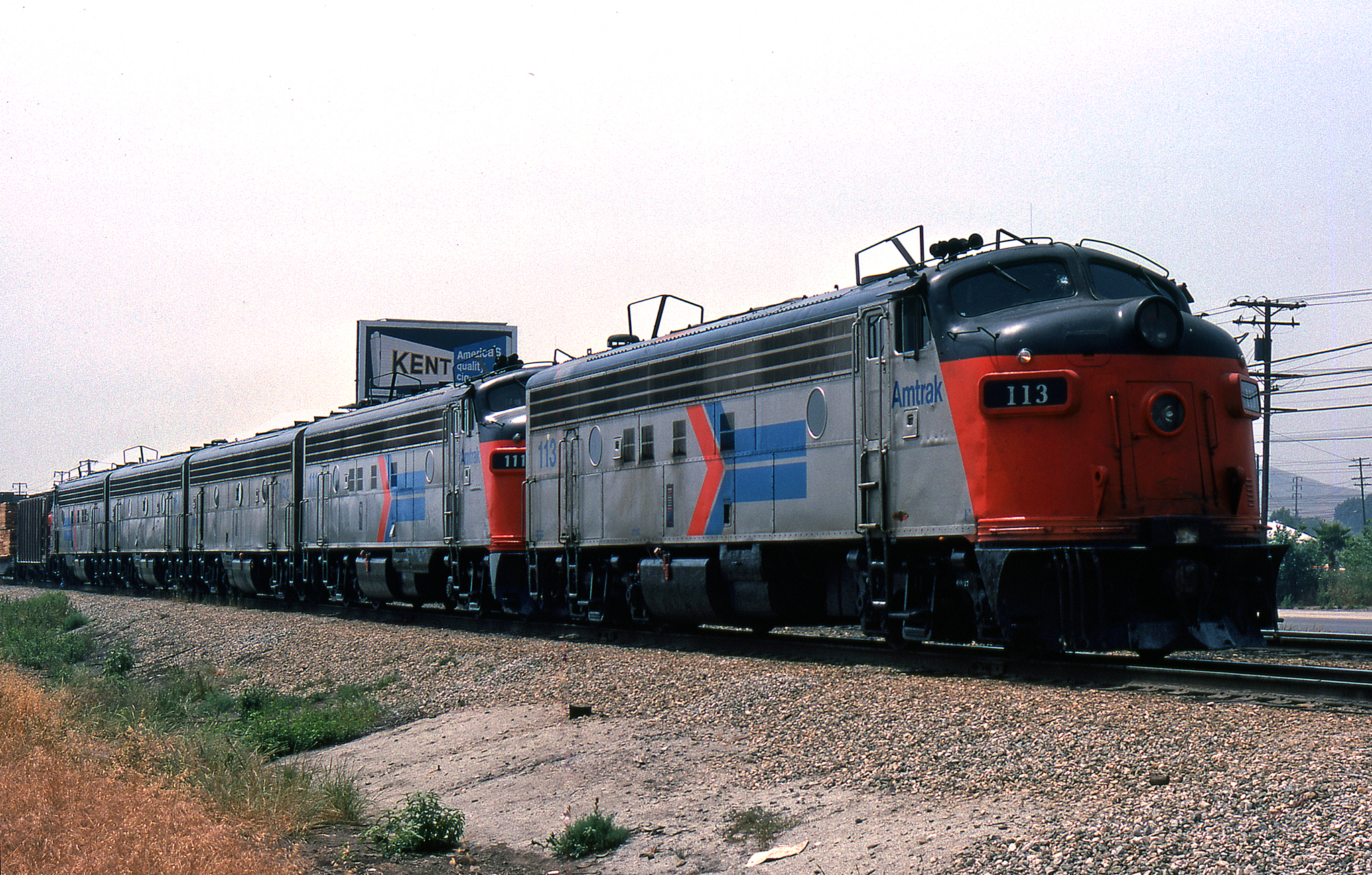
Another view of AWOL Amtrak F's
Hiding...
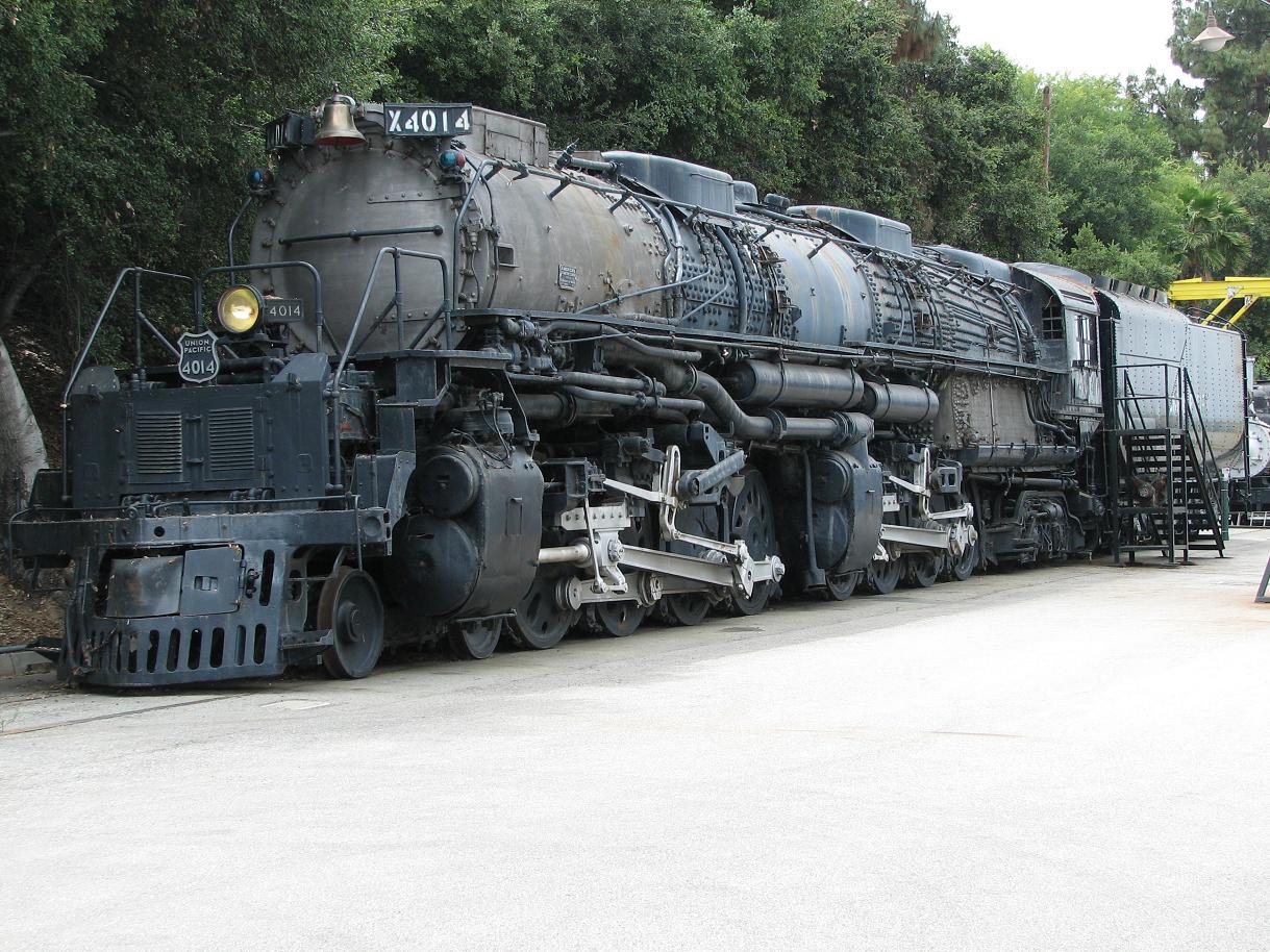
UP Big Boy 4014!
Pumpkin Festival & Pumpkin Patch...
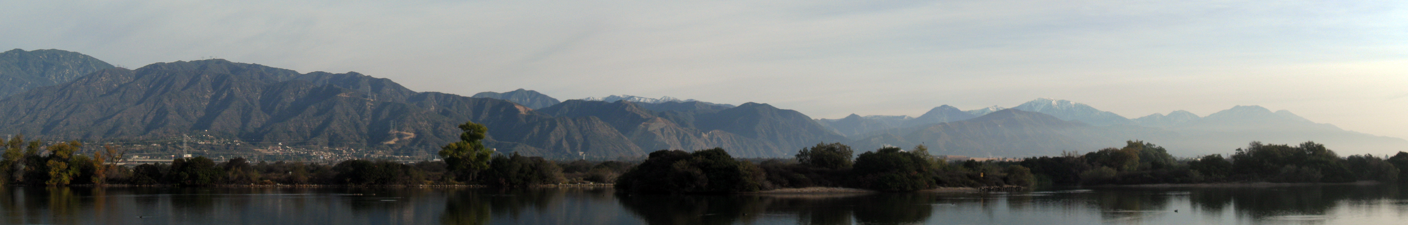
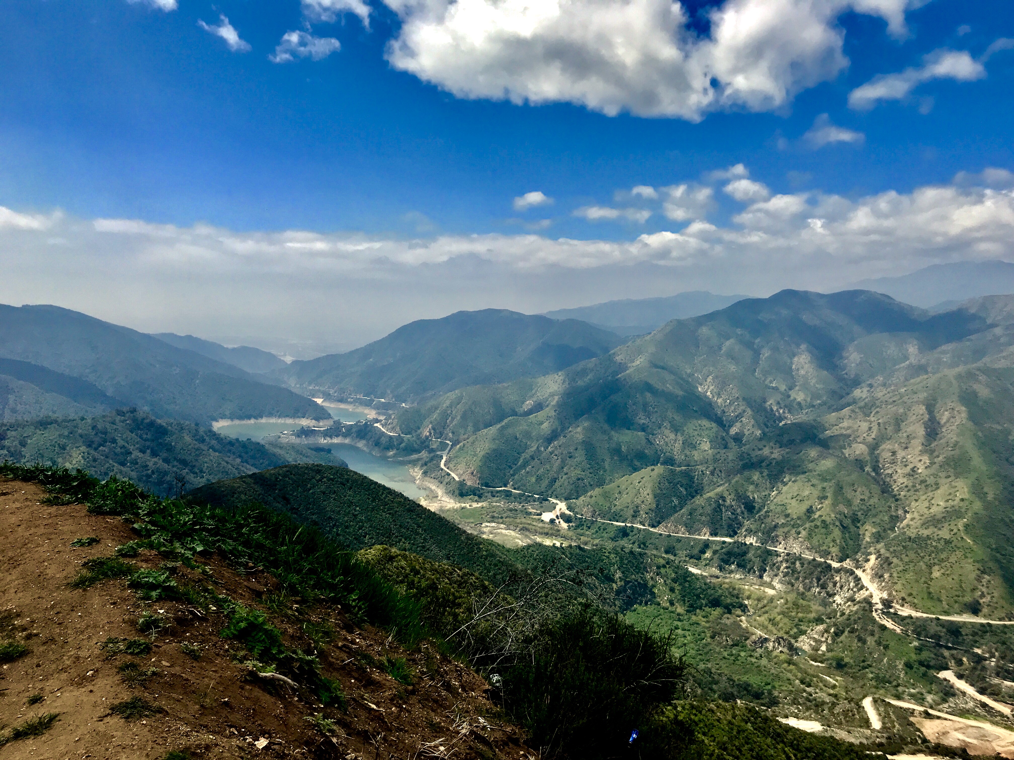
San Gabriel Mountains panorama
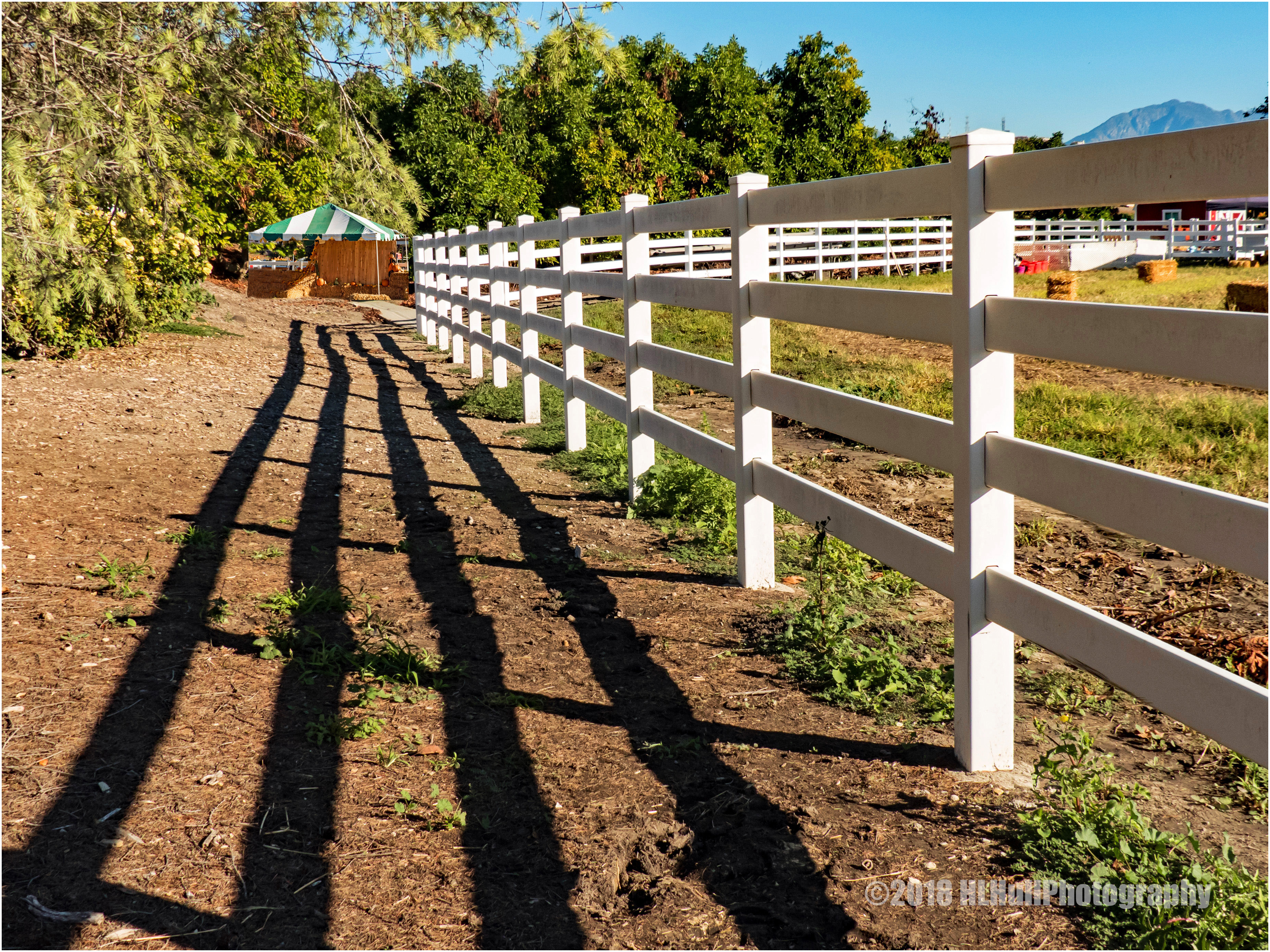
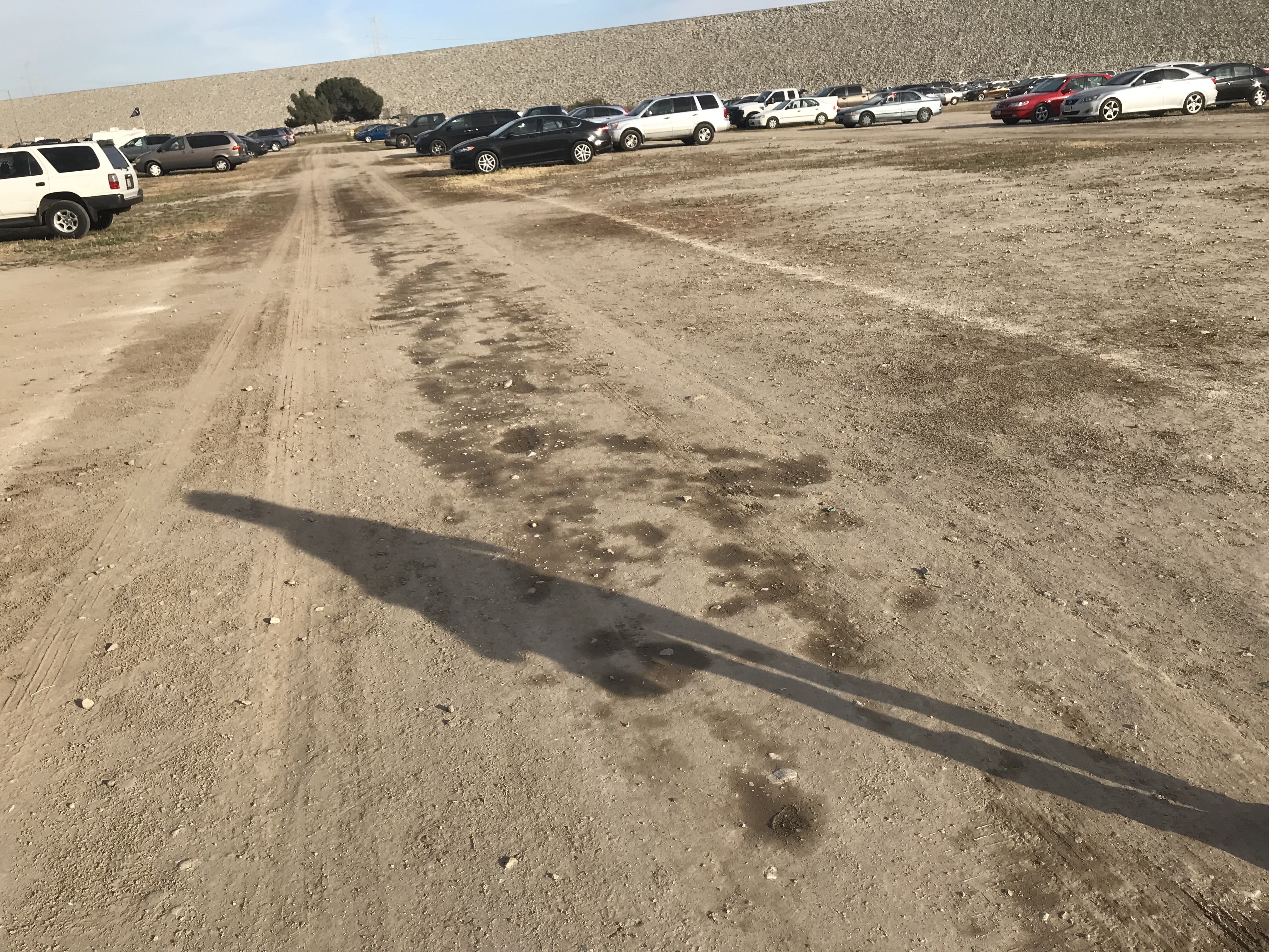
Morning shadows...
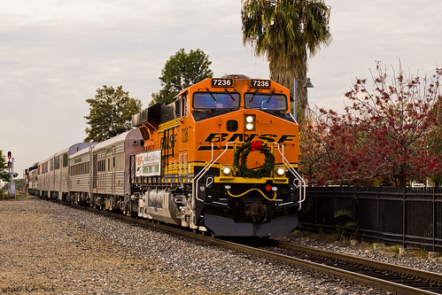
BNSF Christmas Train

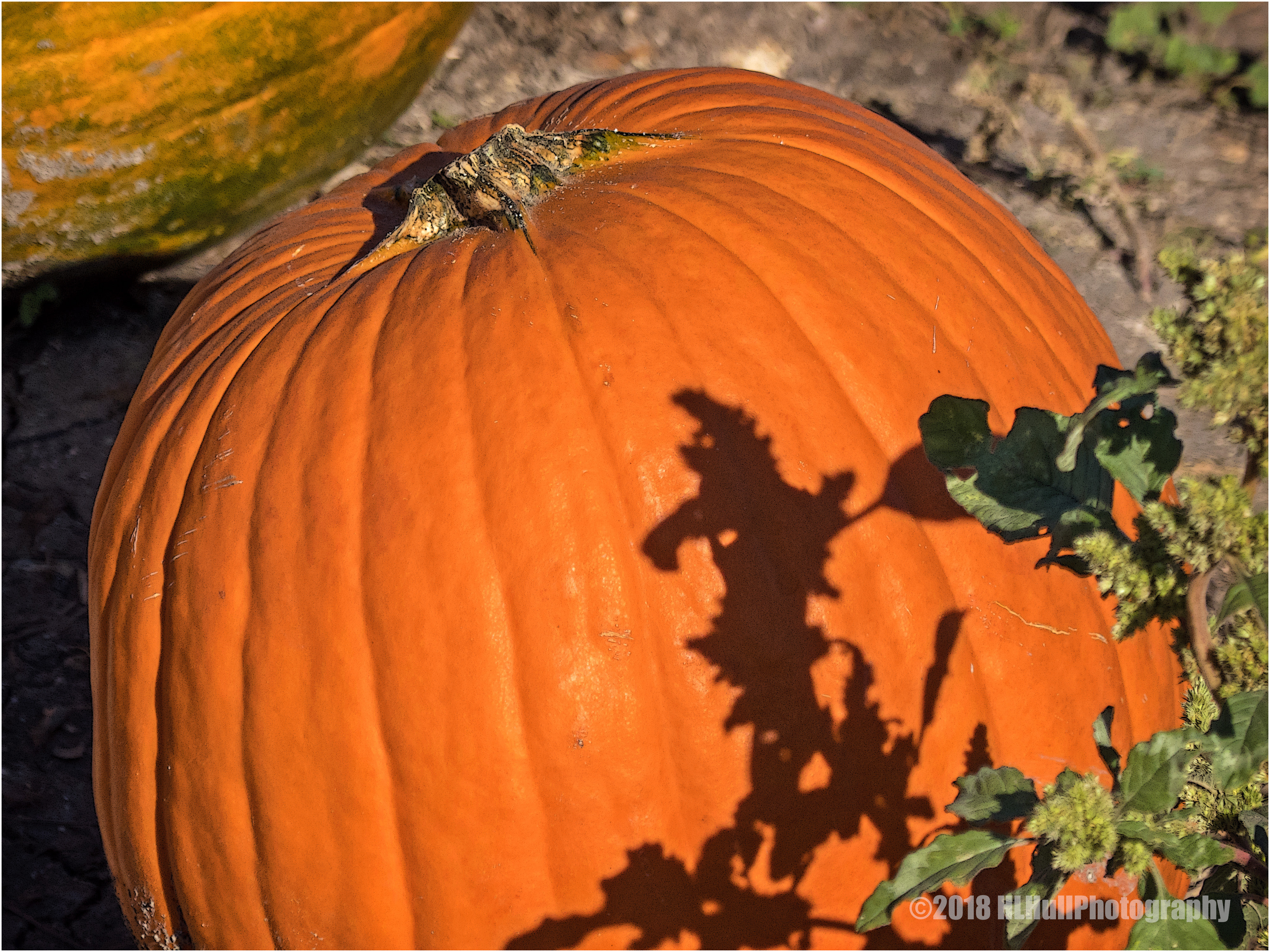
Colorful squash...
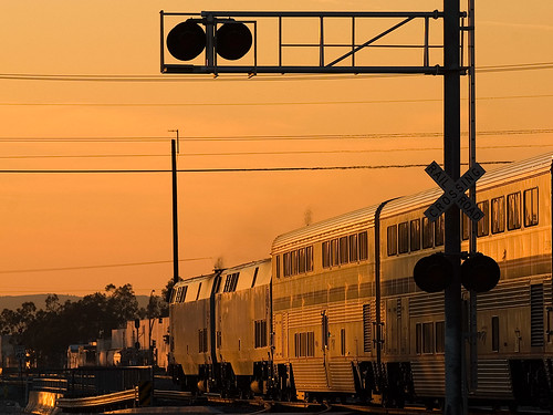
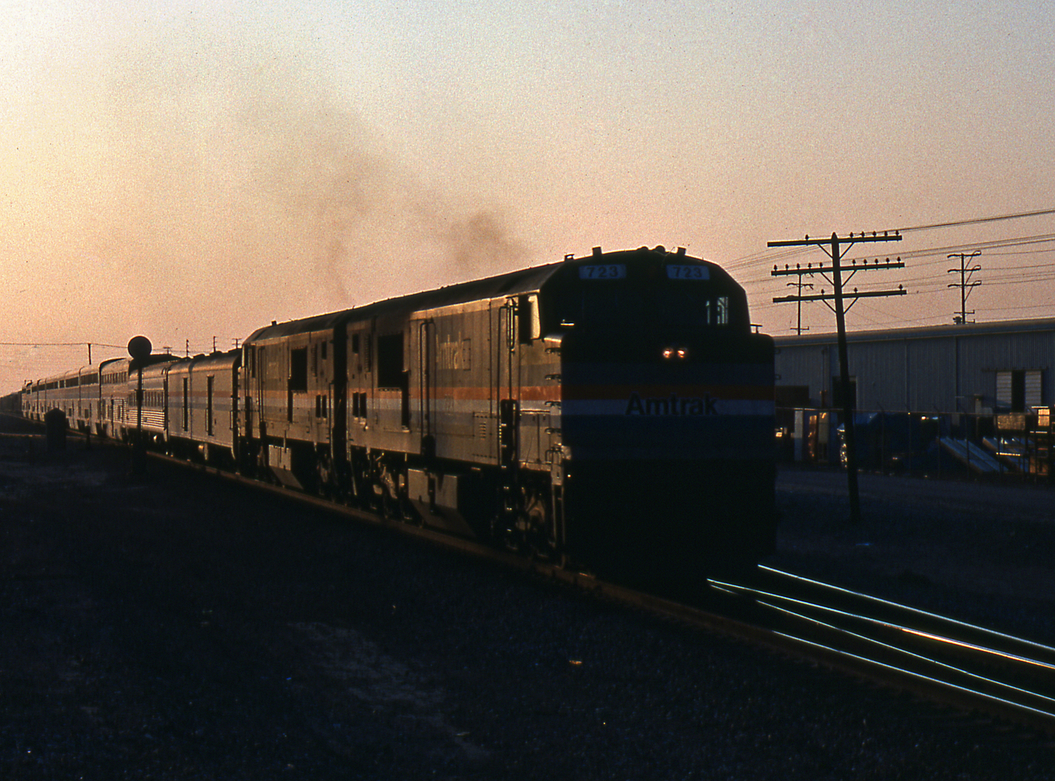
Amtrak Sunset
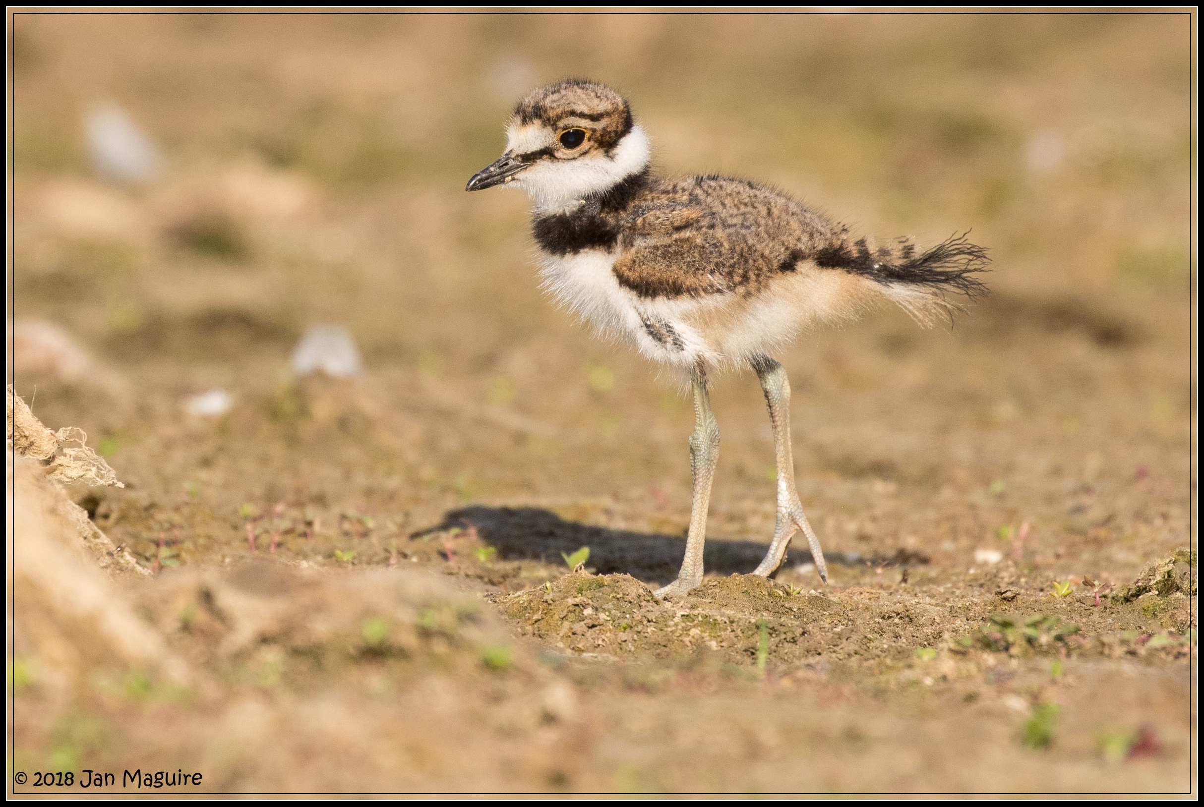
Young Killdeer 6577
A Pair of Pooches

Sunflower...

Nothing lasts for ever but the earth and sky.
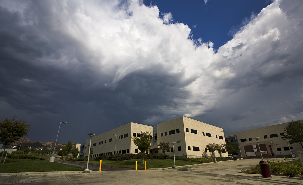
Storm Clouds over Building 66

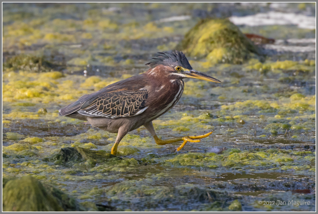
Black-crowned Night Heron 0697

Distant Lands
2/27/13

Razor Soft

Desert come to life
2018-05-06 18.04.43

Ford Woody
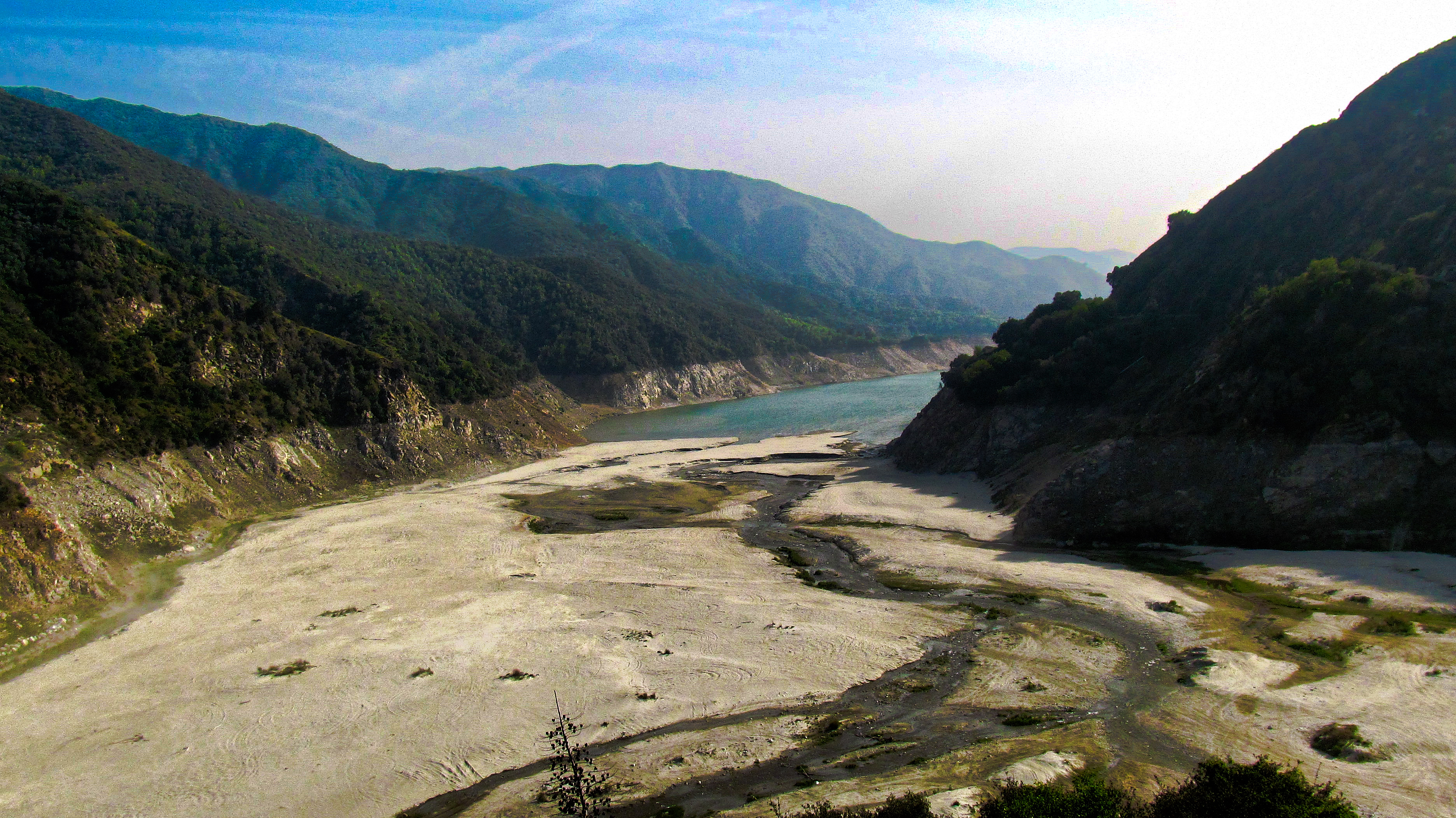
Water...What Water
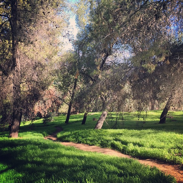
Today's church. Me + this trail.
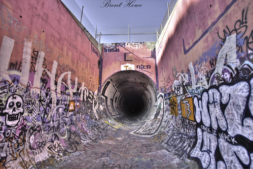
The pipe

Saturday Afternoon
Highway 39 Dam
Striding with Purpose 4254
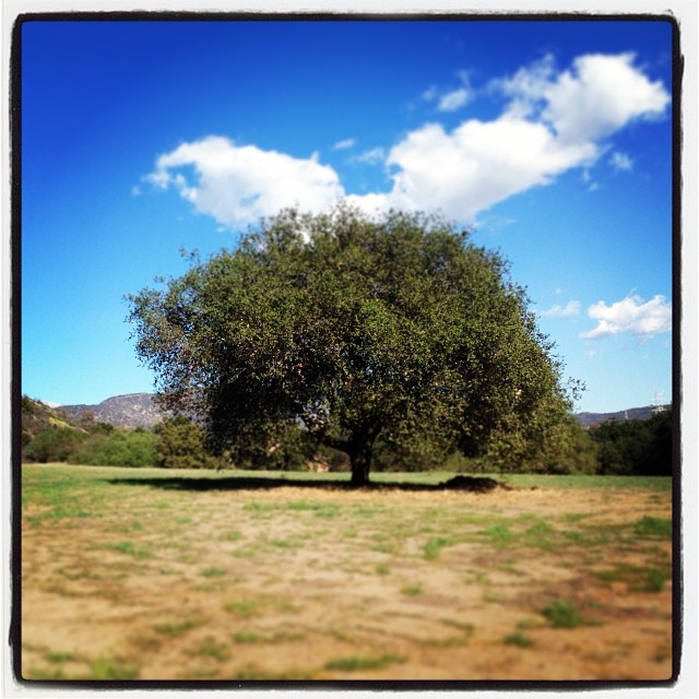
There's something about a lonely tree in the middle of a field that I just love. #emo #tree

Kravis Center
Crystal Lake, California

Glendora Ridge Sunset
#howtodestroyangels

Top Fuel at the NHRA Winternationals in Pomona 2014
Topographic Map of N Oakway Ave, San Dimas, CA, USA
Find elevation by address:

Places near N Oakway Ave, San Dimas, CA, USA:
828 N Oakway Ave
North Cataract Avenue
San Dimas
E Bonita Ave, San Dimas, CA, USA
Arrow Hwy & N Lone Hill Ave
245 E Bonita Ave
2025 E Financial Way
120 Country Club Ct
613 Gaillard St
Grand Oaks Drive
2173 Cumberland Rd
629 Gaillard St
2011 Palomar Dr
724 E Bonita Ave
325 S San Dimas Canyon Rd
1715 S Sunflower Ave
744 E Ivy St
147 S Akeley Dr
1175 Foothill Blvd
927 E Ada Ave
Recent Searches:
- Elevation of Lampiasi St, Sarasota, FL, USA
- Elevation of Elwyn Dr, Roanoke Rapids, NC, USA
- Elevation of Congressional Dr, Stevensville, MD, USA
- Elevation of Bellview Rd, McLean, VA, USA
- Elevation of Stage Island Rd, Chatham, MA, USA
- Elevation of Shibuya Scramble Crossing, 21 Udagawacho, Shibuya City, Tokyo -, Japan
- Elevation of Jadagoniai, Kaunas District Municipality, Lithuania
- Elevation of Pagonija rock, Kranto 7-oji g. 8"N, Kaunas, Lithuania
- Elevation of Co Rd 87, Jamestown, CO, USA
- Elevation of Tenjo, Cundinamarca, Colombia