Elevation of E Ada Ave, Glendora, CA, USA
Location: United States > California > Los Angeles County > Glendora >
Longitude: -117.84969
Latitude: 34.1321763
Elevation: 249m / 817feet
Barometric Pressure: 98KPa
Elevation Map:
Satellite Map:
Related Photos:

Nothing lasts for ever but the earth and sky.

amber rouge jazz
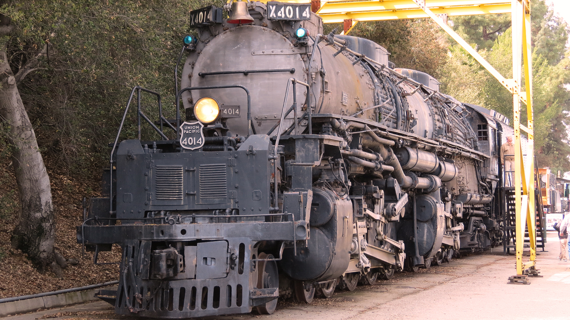
UP Big Boy 4014

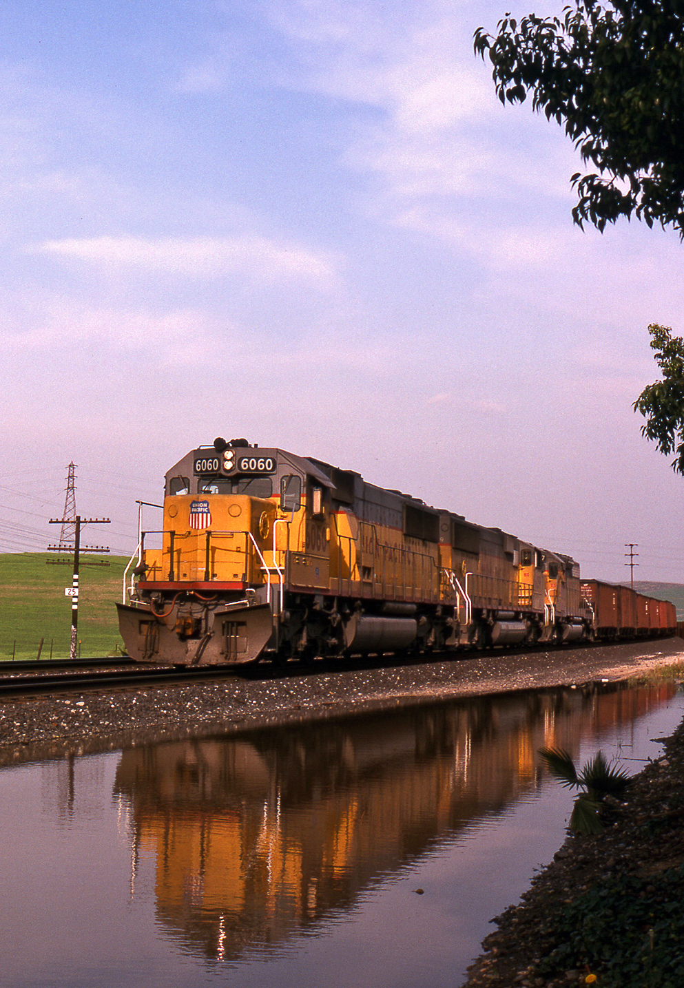
The "Chief" @ Monrovia
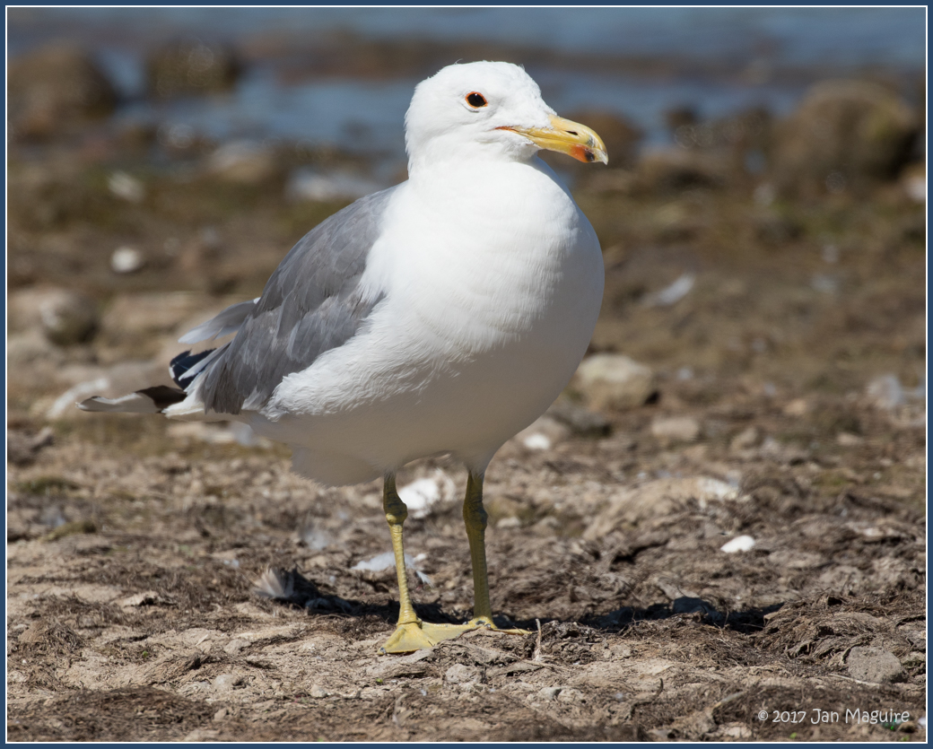
Yellow-footed Gull 5929

Recently Eclosed Pipevine Swallowtail, male
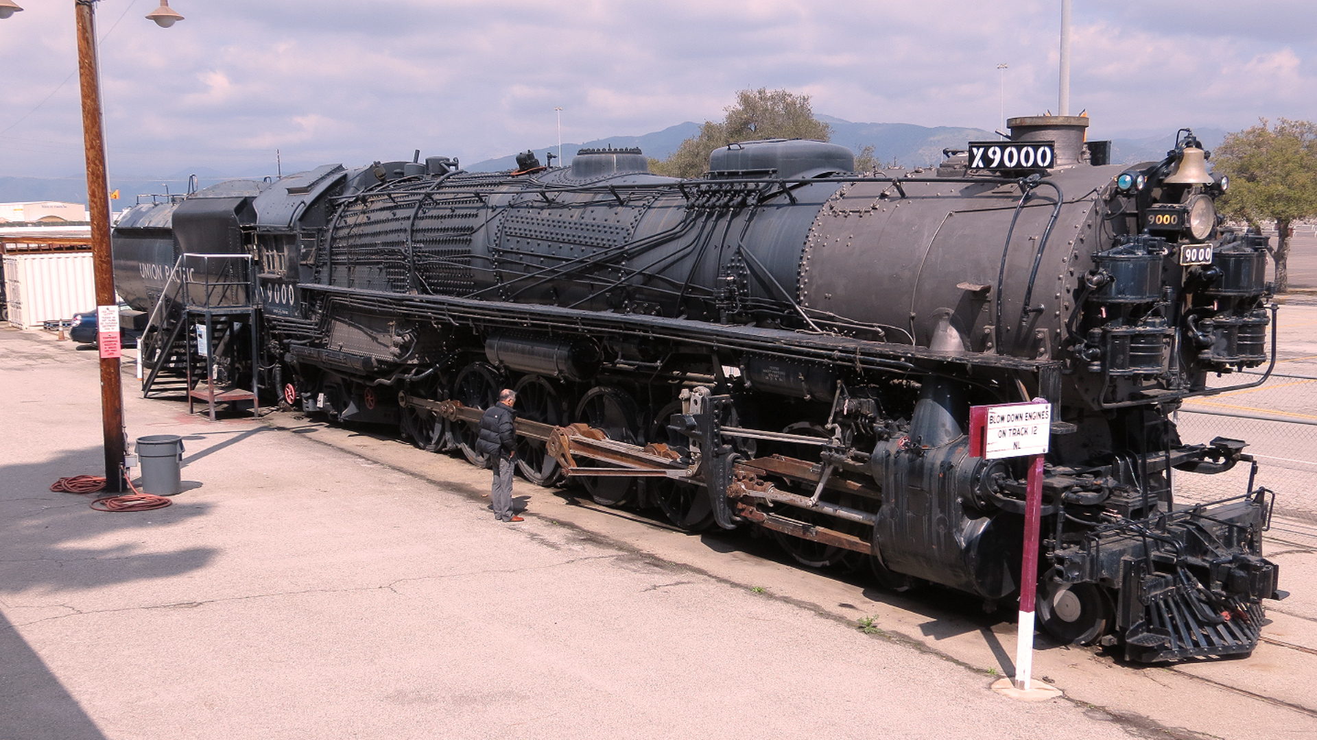
Union Pacific 4-12-2 9000

You are the sun in my day, the wind in my sky, the waves in my ocean and the beat in my heart... Thinking of you!
lovz2hike.com Mt Baden Powel 2016

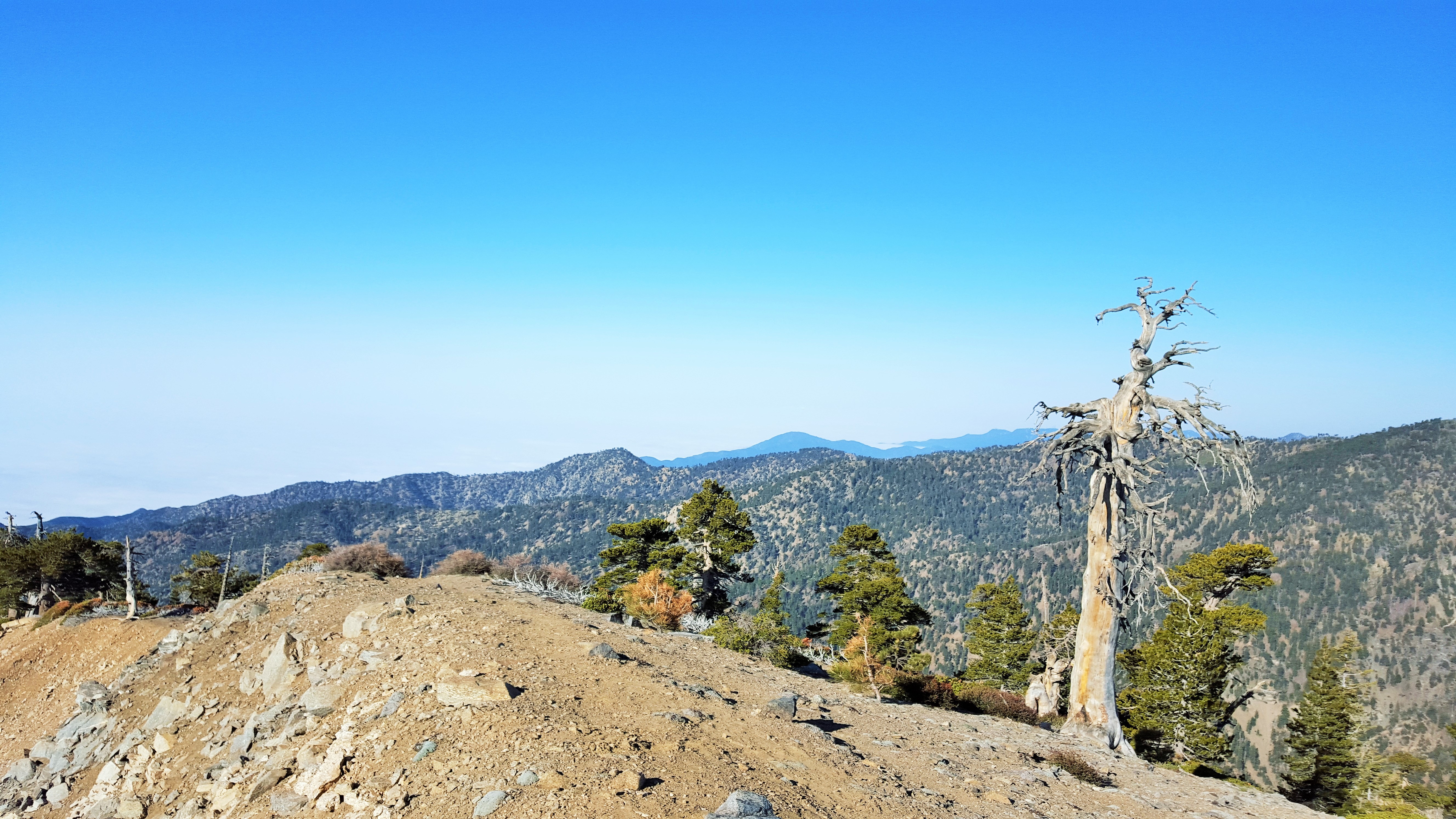
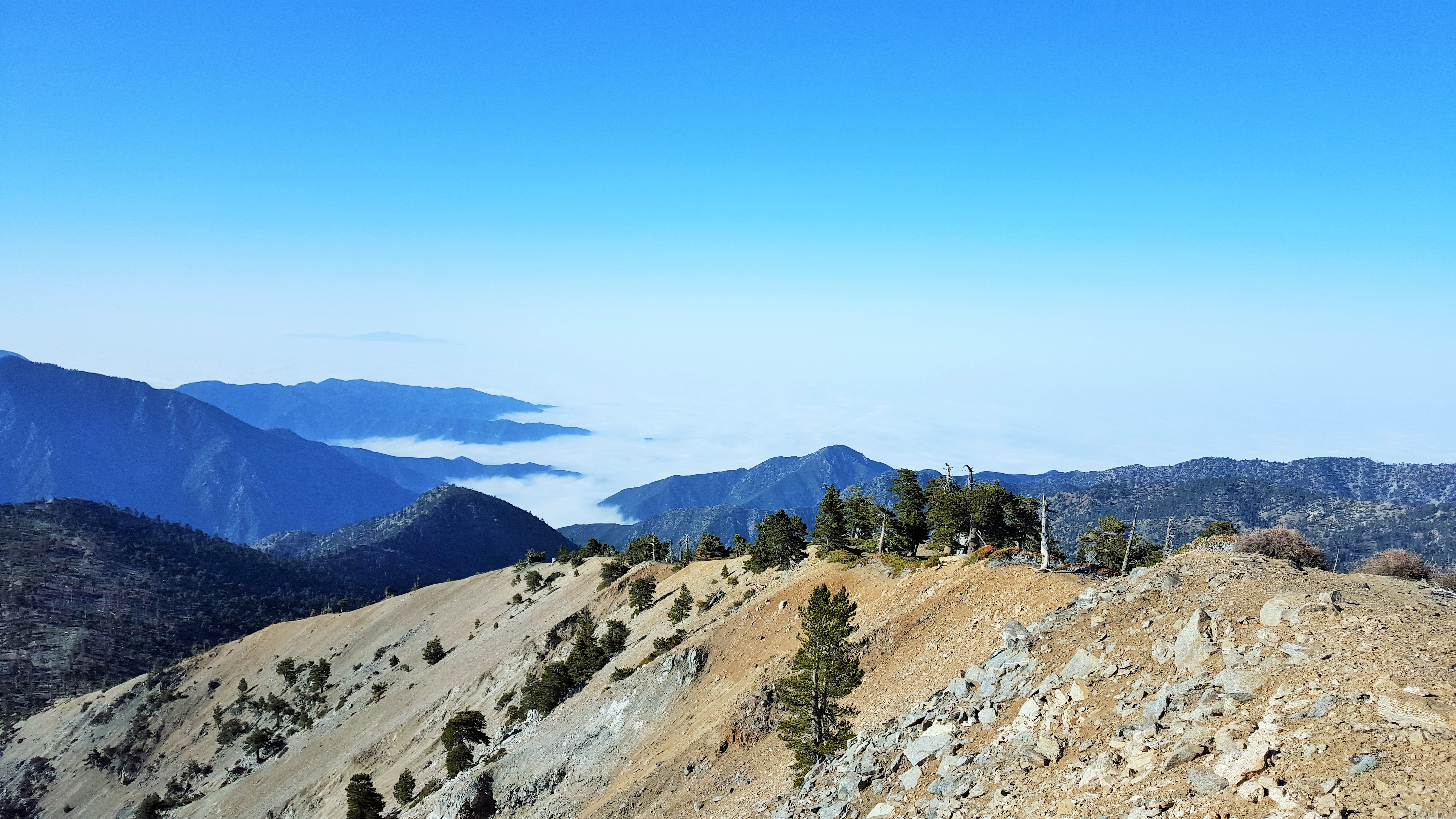
Scenic view along Glendora Ridge Road near Mount Baldy California
lovz2hike.com Mt Baden Powel 2016
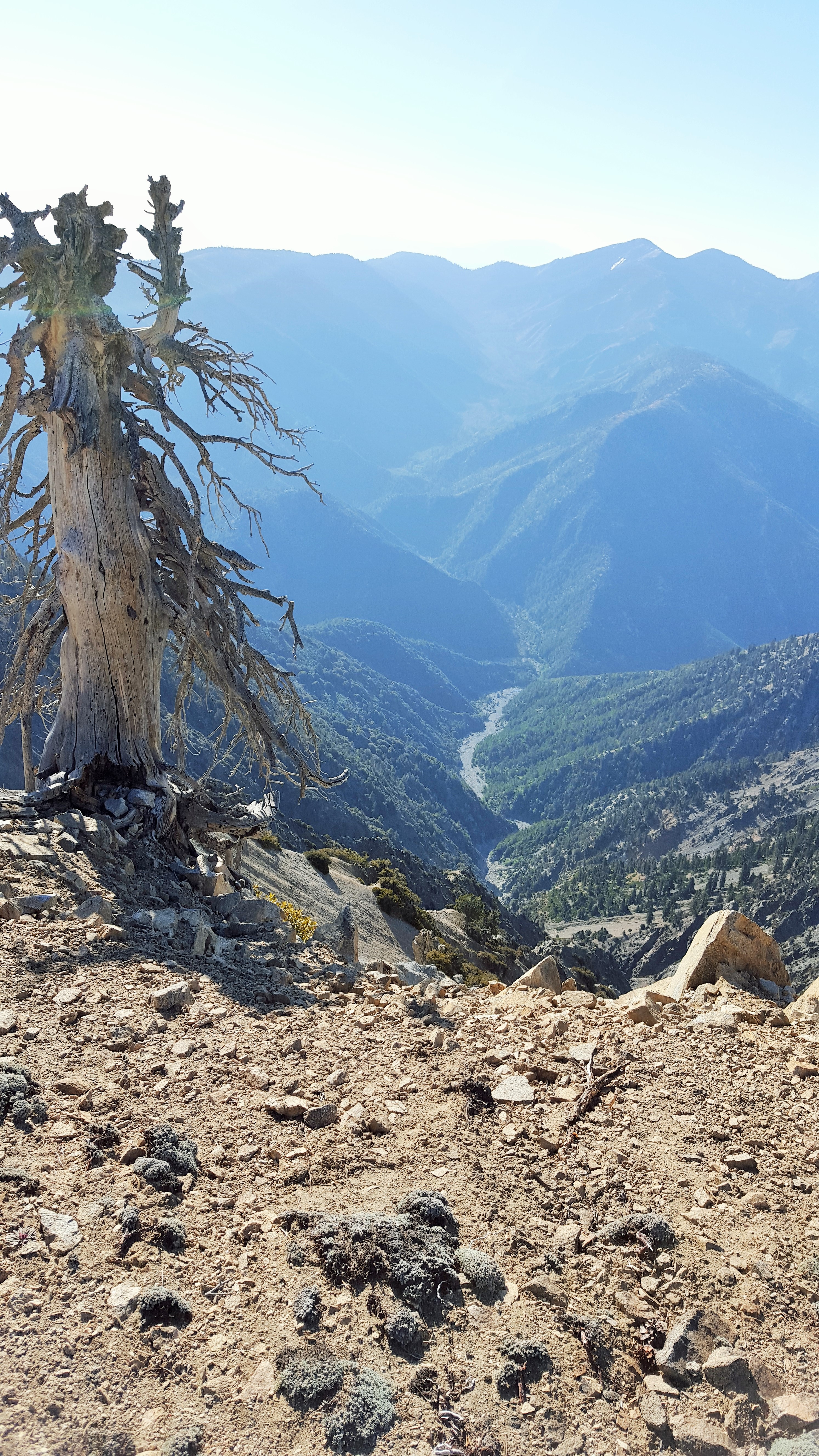
lovz2hike.com Mt Baden Powel 2016
Shiny - part 2

mountain view from Potato Mtn.
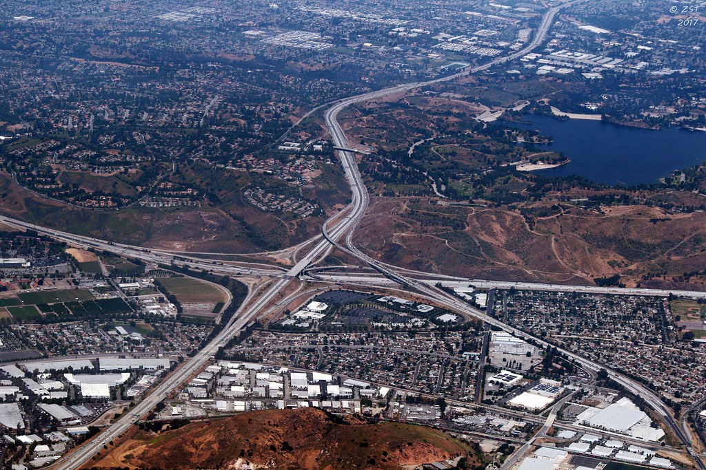
I-10 & Highway 57 Interchange
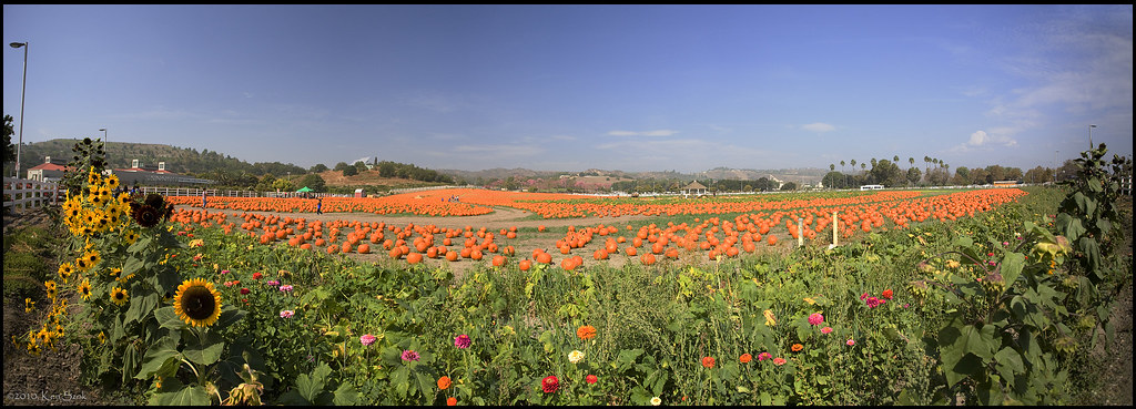
Cal Poly Pumpkin Patch Panorama
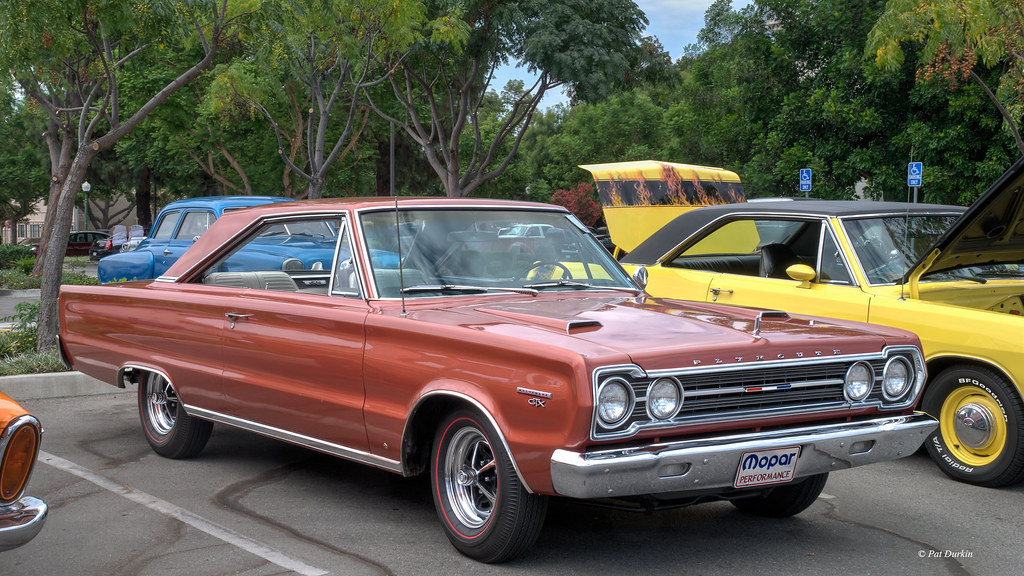
1967 Plymouth Belvedere GTX Hardtop
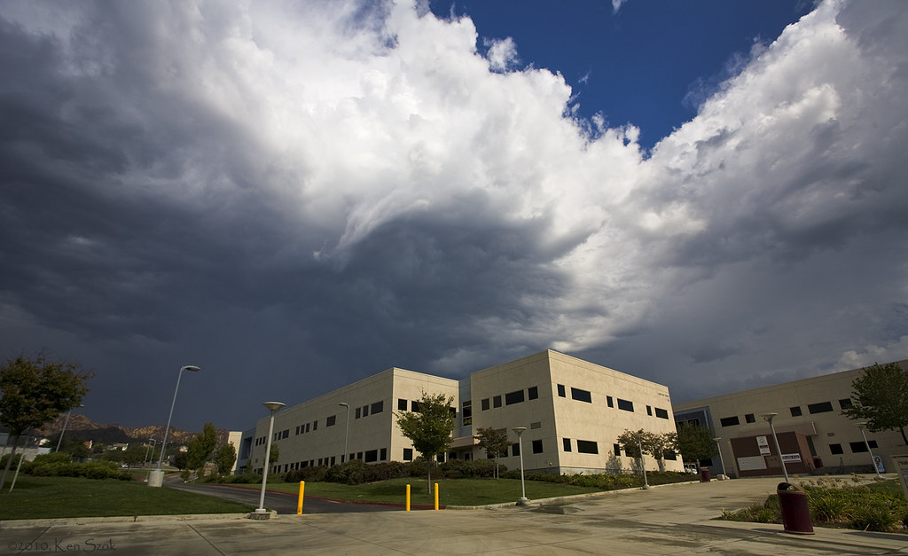
Storm Clouds over Building 66

Good Day Sunshine
King of the Hill. Great view while on a bike ride this morning.

Cessna Glint
wild-3 (Explored on 5-02-15)

1957 Ford Fairlane 500 Convertible
In a Mirror

Distant Lands

Desert come to life

Razor Soft

Stick in a Reservoir
San Gabriel Mountains 1 - Los Angeles County, CA

Saturday Afternoon

Pumpkins at Sunrise [Explored]
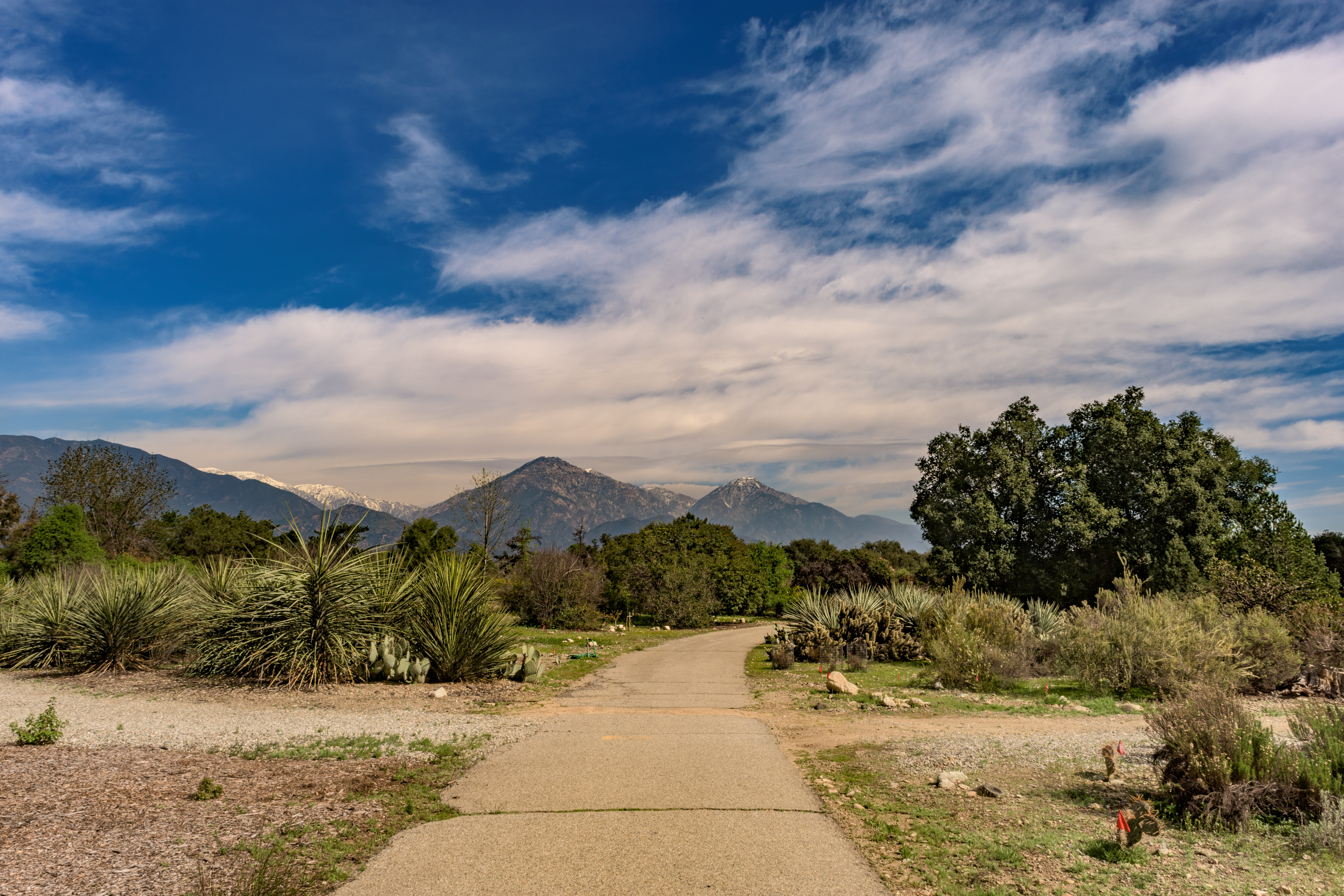
Rancho Santa Ana Botanic Garden
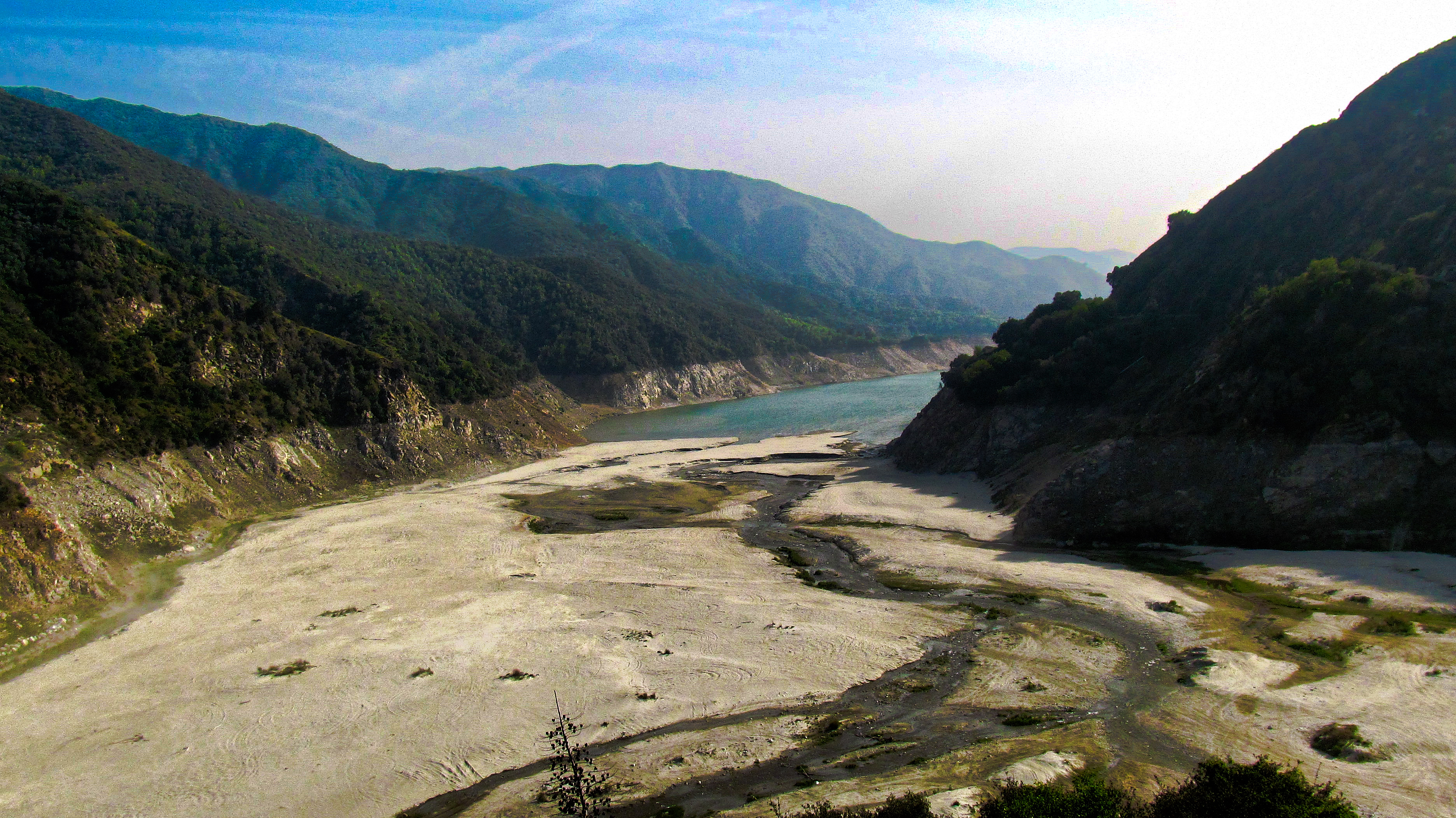
Water...What Water

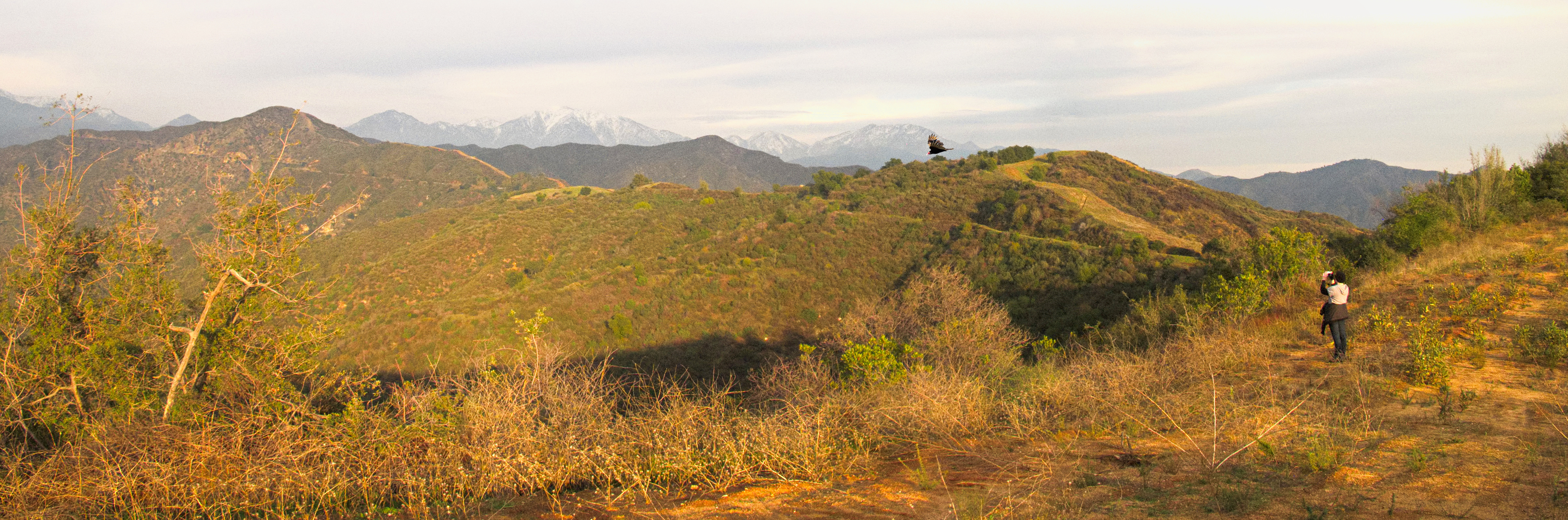
Glendora Ridge Sunset
Great office today! I love my job!

#howtodestroyangels

Clouds and airplane
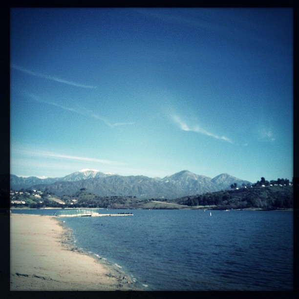
Nice day but water's too cold for swimming#Beach

Ford Woody

The pipe
Topographic Map of E Ada Ave, Glendora, CA, USA
Find elevation by address:

Places near E Ada Ave, Glendora, CA, USA:
147 S Akeley Dr
Glendora
628 Willowgrove Ave
727 S Jenifer Ave
741 E Palm Dr
744 E Ivy St
Grand Oaks Drive
2025 E Financial Way
2011 Palomar Dr
1715 S Sunflower Ave
120 Country Club Ct
2173 Cumberland Rd
Park View Terrace
Park View Terrace, Glendora, CA, USA
Arrow Hwy & N Lone Hill Ave
420 N Oak Dr
828 N Oakway Ave
724 N Oakway Ave
Azusa Pacific University
North Cataract Avenue
Recent Searches:
- Elevation of Beall Road, Beall Rd, Florida, USA
- Elevation of Leguwa, Nepal
- Elevation of County Rd, Enterprise, AL, USA
- Elevation of Kolchuginsky District, Vladimir Oblast, Russia
- Elevation of Shustino, Vladimir Oblast, Russia
- Elevation of Lampiasi St, Sarasota, FL, USA
- Elevation of Elwyn Dr, Roanoke Rapids, NC, USA
- Elevation of Congressional Dr, Stevensville, MD, USA
- Elevation of Bellview Rd, McLean, VA, USA
- Elevation of Stage Island Rd, Chatham, MA, USA