Elevation of N Main St, Carey, ID, USA
Location: United States > Idaho > Blaine County > Carey >
Longitude: -113.94562
Latitude: 43.3091542
Elevation: 1460m / 4790feet
Barometric Pressure: 85KPa
Elevation Map:
Satellite Map:
Related Photos:

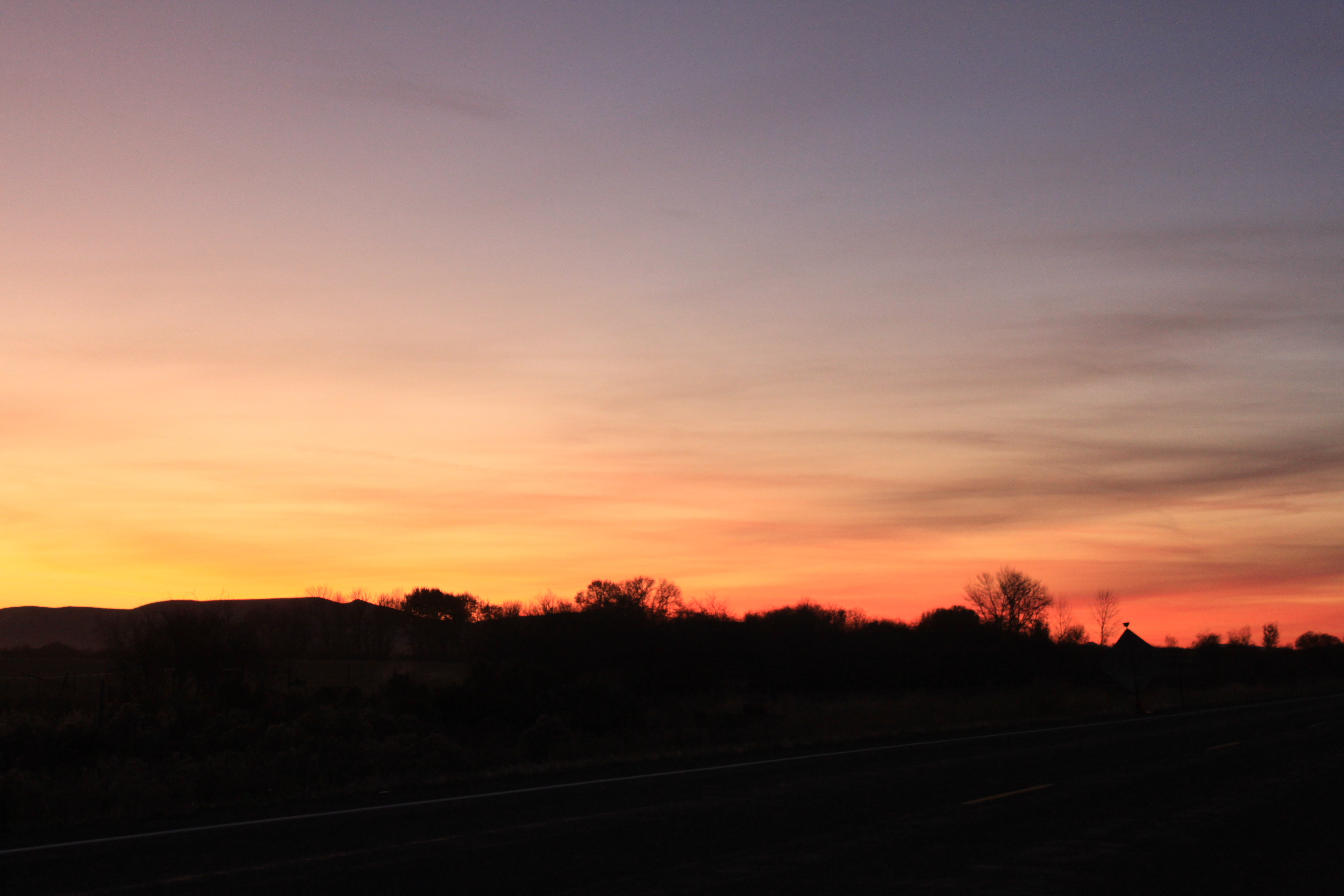
Sunset on the drive home
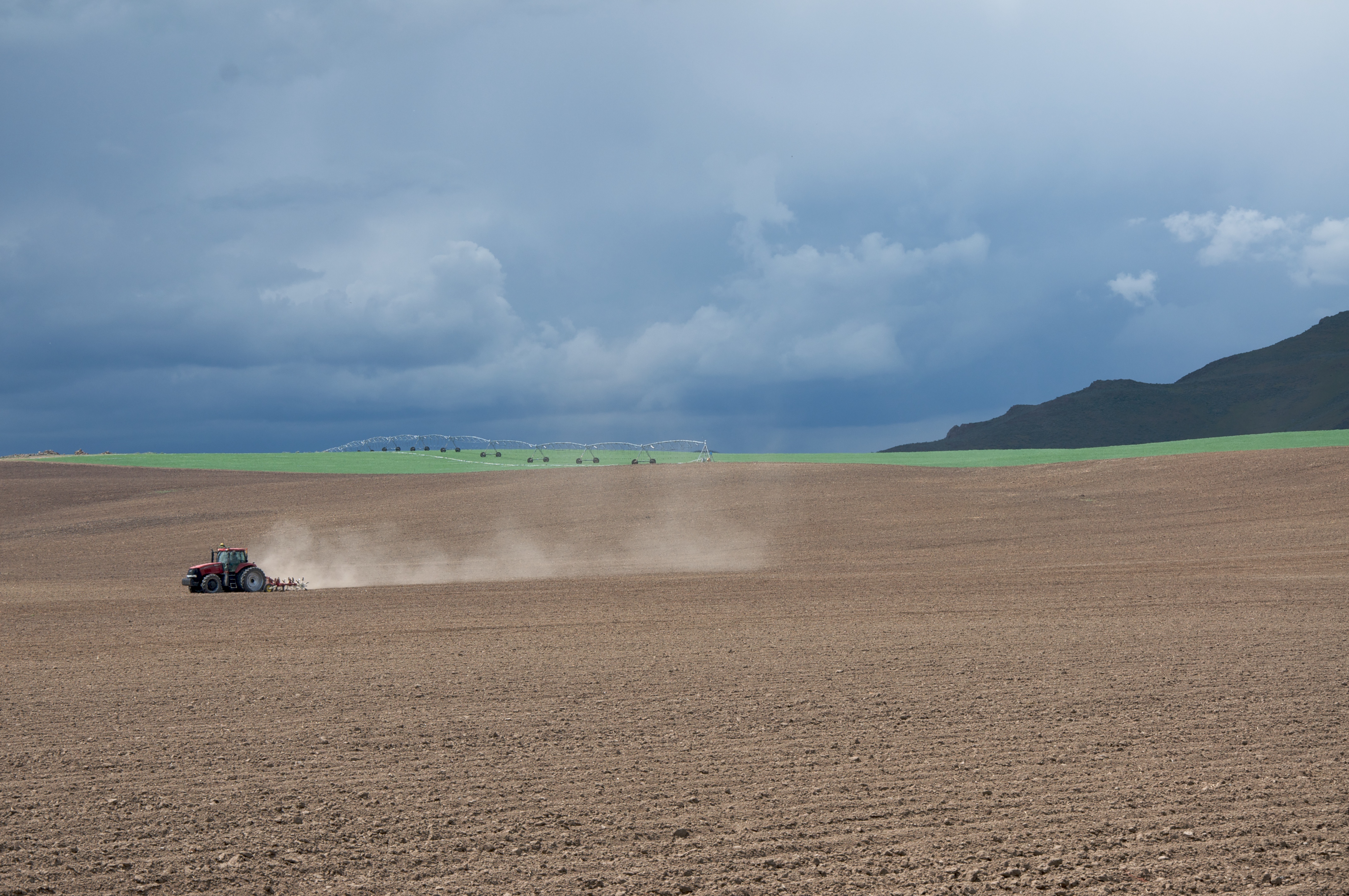
Tractor plowing fields

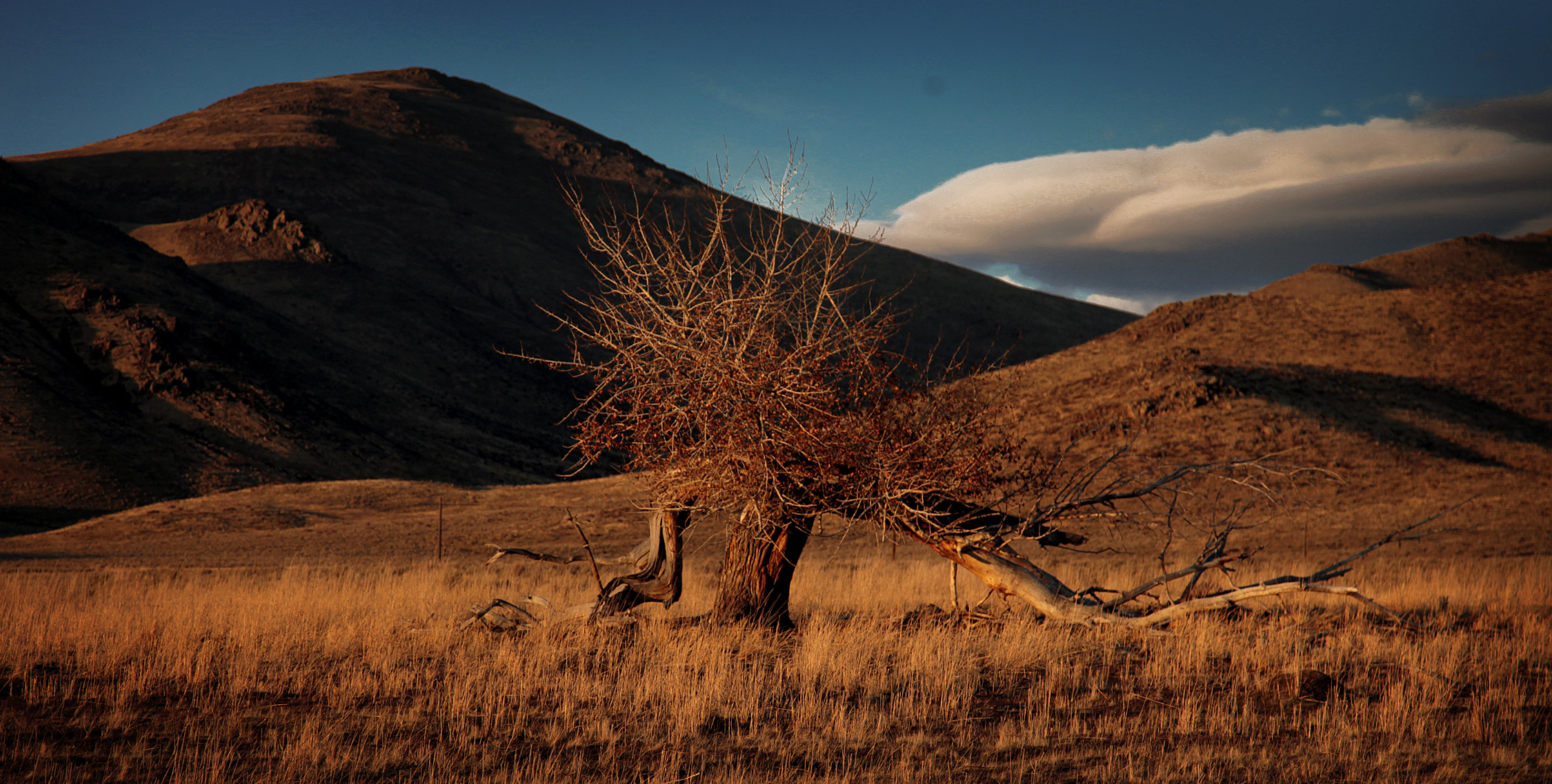
Carey sagebrush steppe

Silver Creek

Silver Creek Tubing
Picabo, Idaho
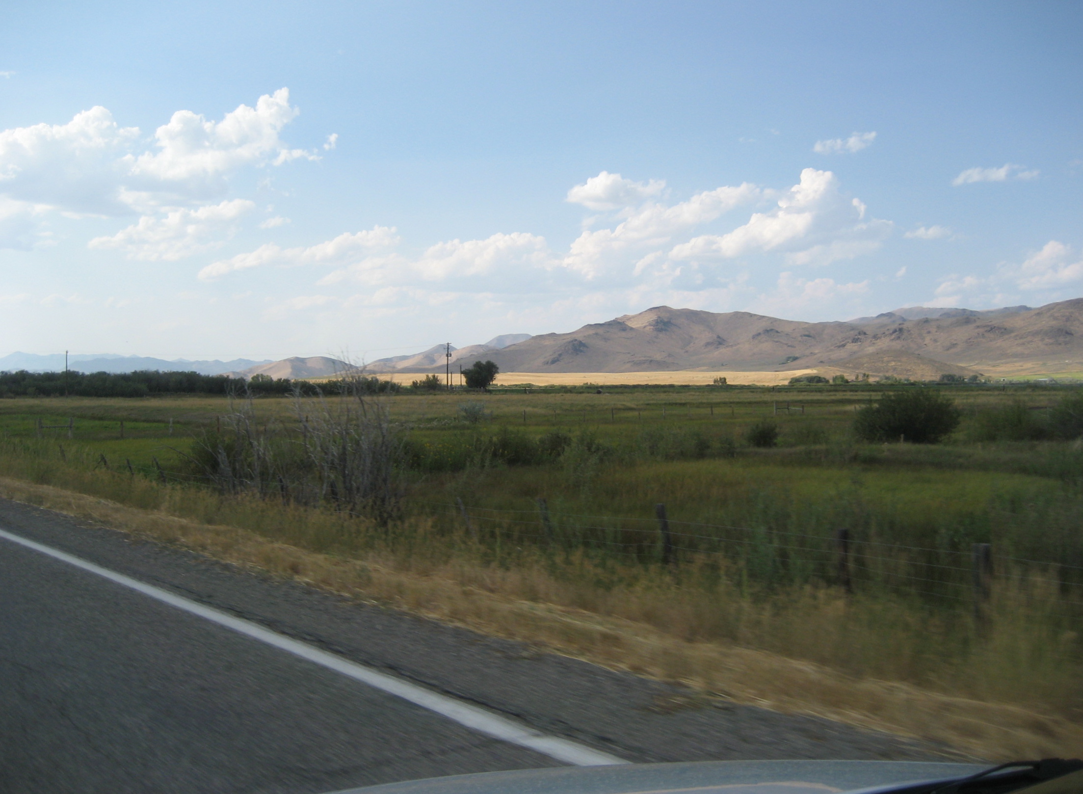
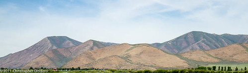
Distant Hills
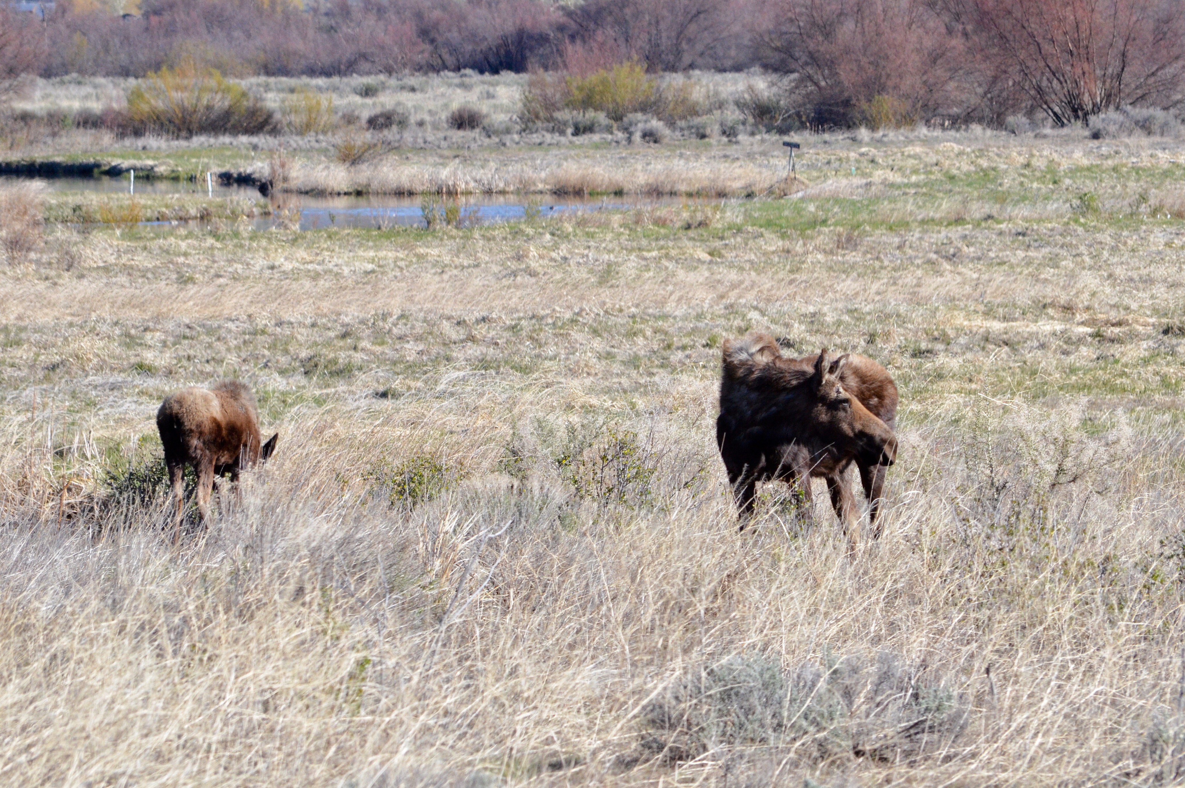
Moose at Silver Creek Preserve
The Dunes of Idaho
Topographic Map of N Main St, Carey, ID, USA
Find elevation by address:

Places near N Main St, Carey, ID, USA:
Carey
Little Wood Reservoir Road
Little Wood Reservoir Road
Picabo
2nd St, Bellevue, ID, USA
Blaine County
Blaine County
Blaine County
Blaine County
Blaine County
Blaine County
Blaine County
Blaine County
Blaine County
Blaine County
Blaine County
Blaine County
Blaine County
Blaine County
Blaine County
Recent Searches:
- Elevation of Falling Spring Rd, Clyde, NC, USA
- Elevation of Kingsfield St, Castle Rock, CO, USA
- Elevation of AMELIA CT HSE, VA, USA
- Elevation of Abbey Dr, Virginia Beach, VA, USA
- Elevation of Brooks Lp, Spearfish, SD, USA
- Elevation of Panther Dr, Maggie Valley, NC, USA
- Elevation of Jais St - Wadi Shehah - Ras al Khaimah - United Arab Emirates
- Elevation of Shawnee Avenue, Shawnee Ave, Easton, PA, USA
- Elevation of Scenic Shore Dr, Kingwood Area, TX, USA
- Elevation of W Prive Cir, Delray Beach, FL, USA