Elevation of Carey, ID, USA
Location: United States > Idaho > Blaine County >
Longitude: -113.94475
Latitude: 43.3076829
Elevation: 1458m / 4783feet
Barometric Pressure: 85KPa
Elevation Map:
Satellite Map:
Related Photos:

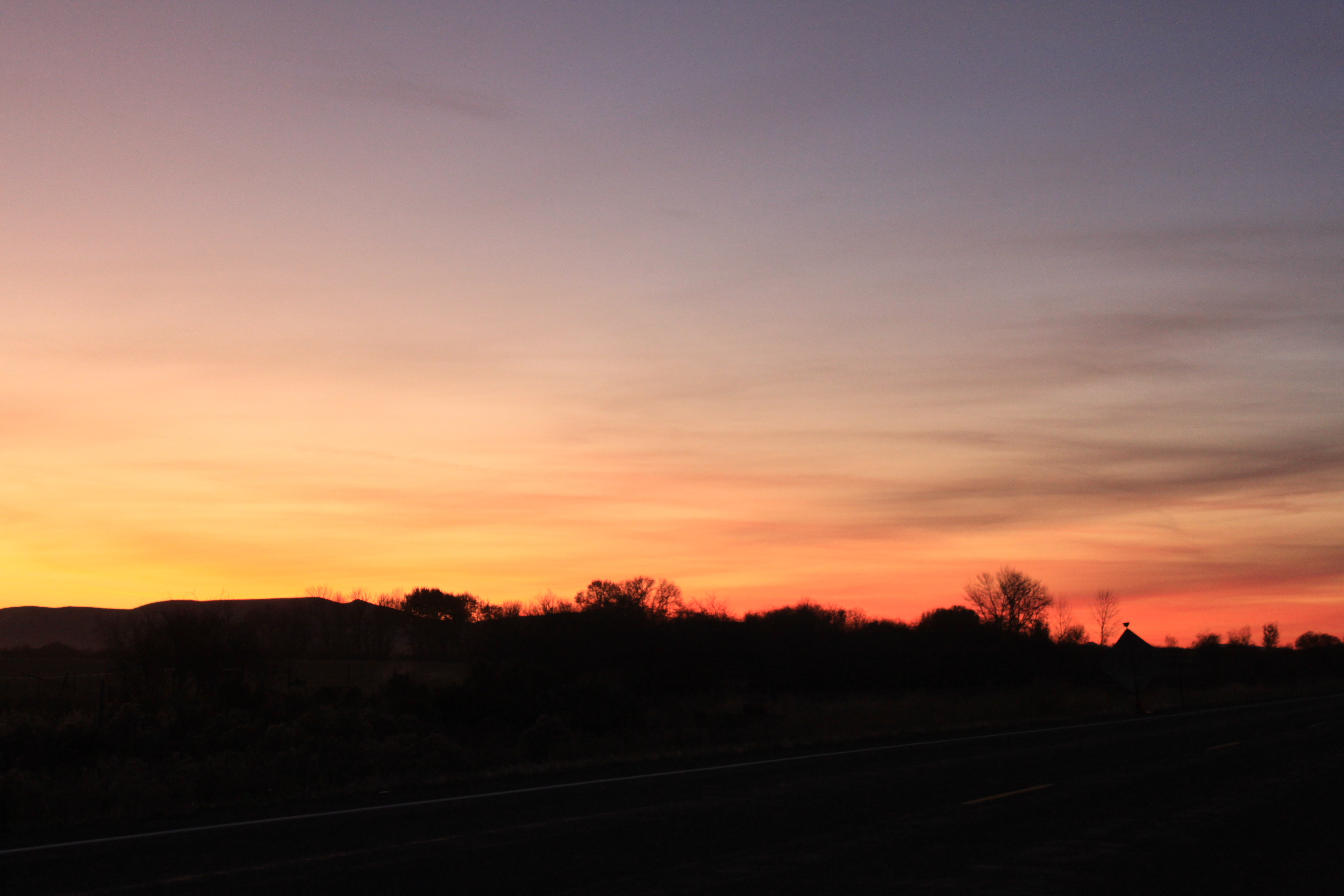
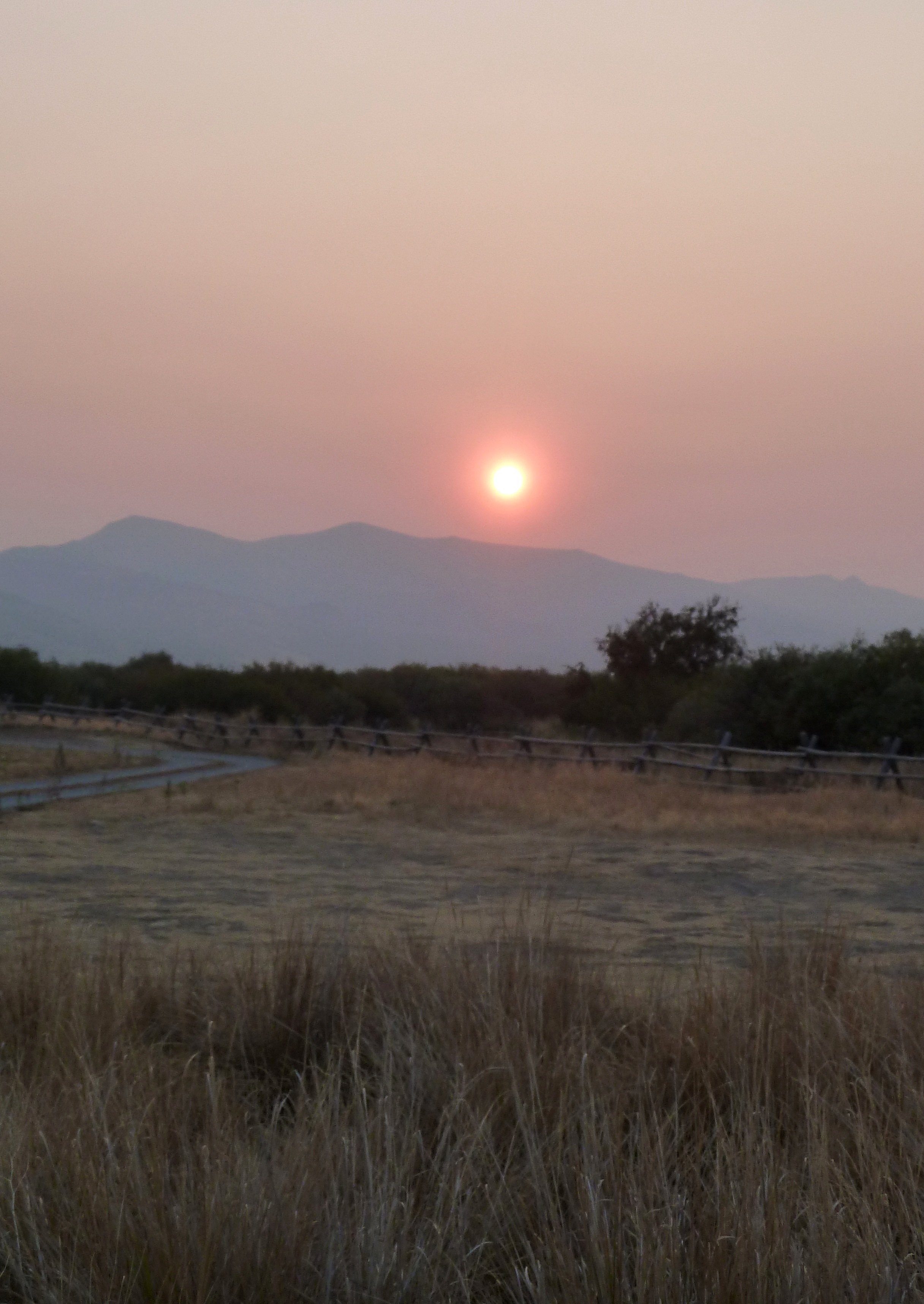
Sunset on the drive home
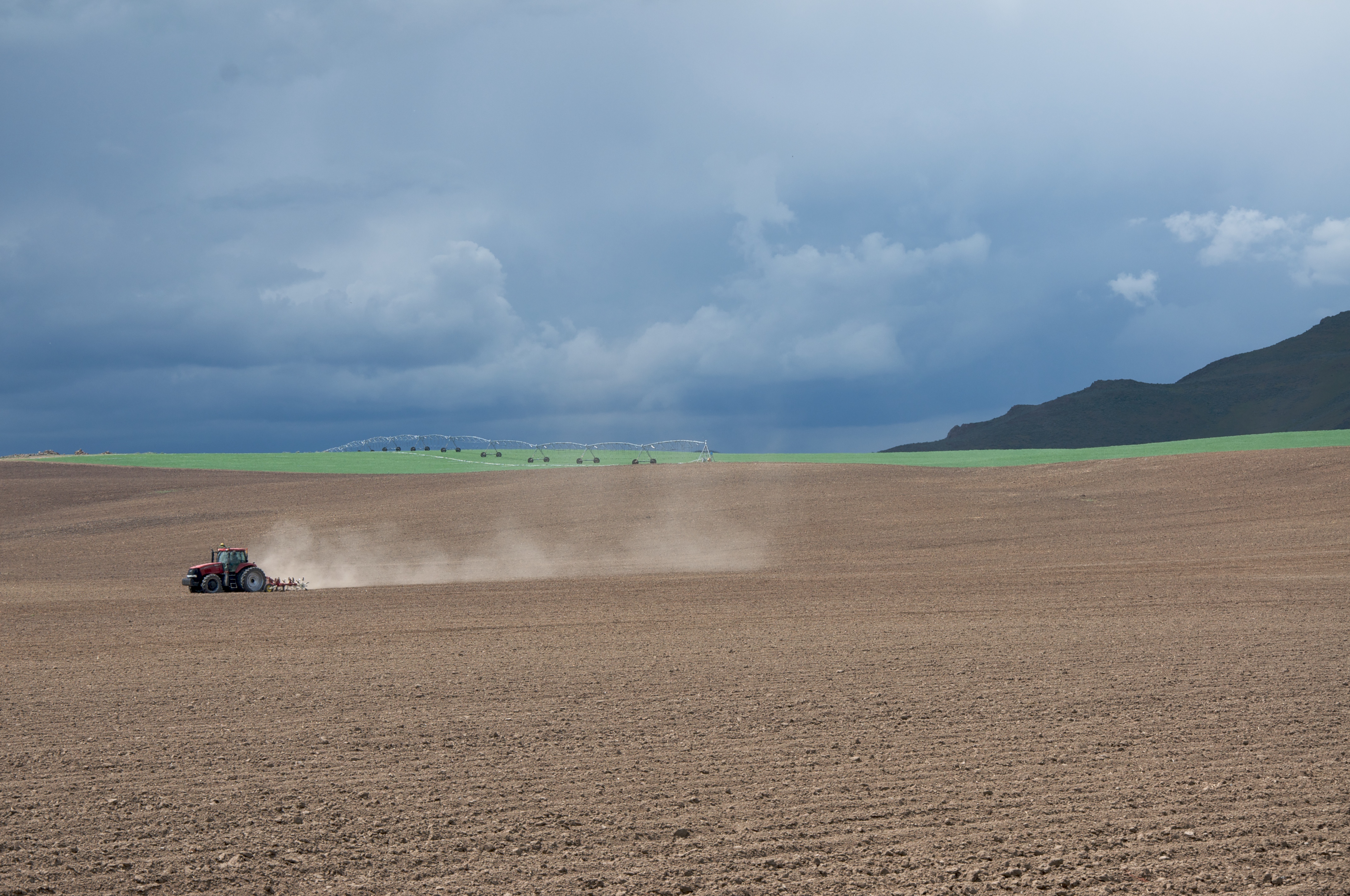
Tractor plowing fields

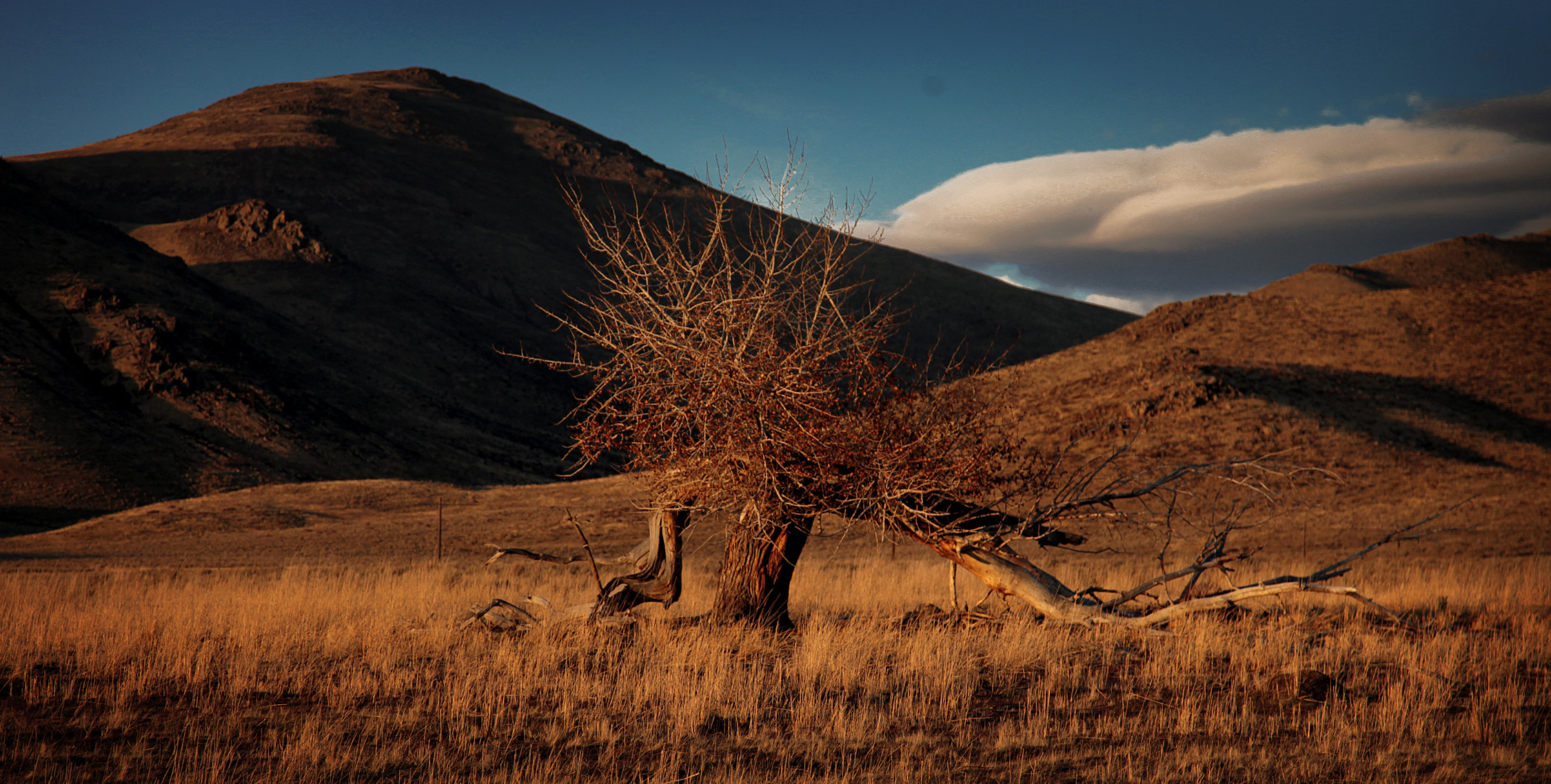
Carey sagebrush steppe

Silver Creek

Silver Creek Tubing
Picabo, Idaho
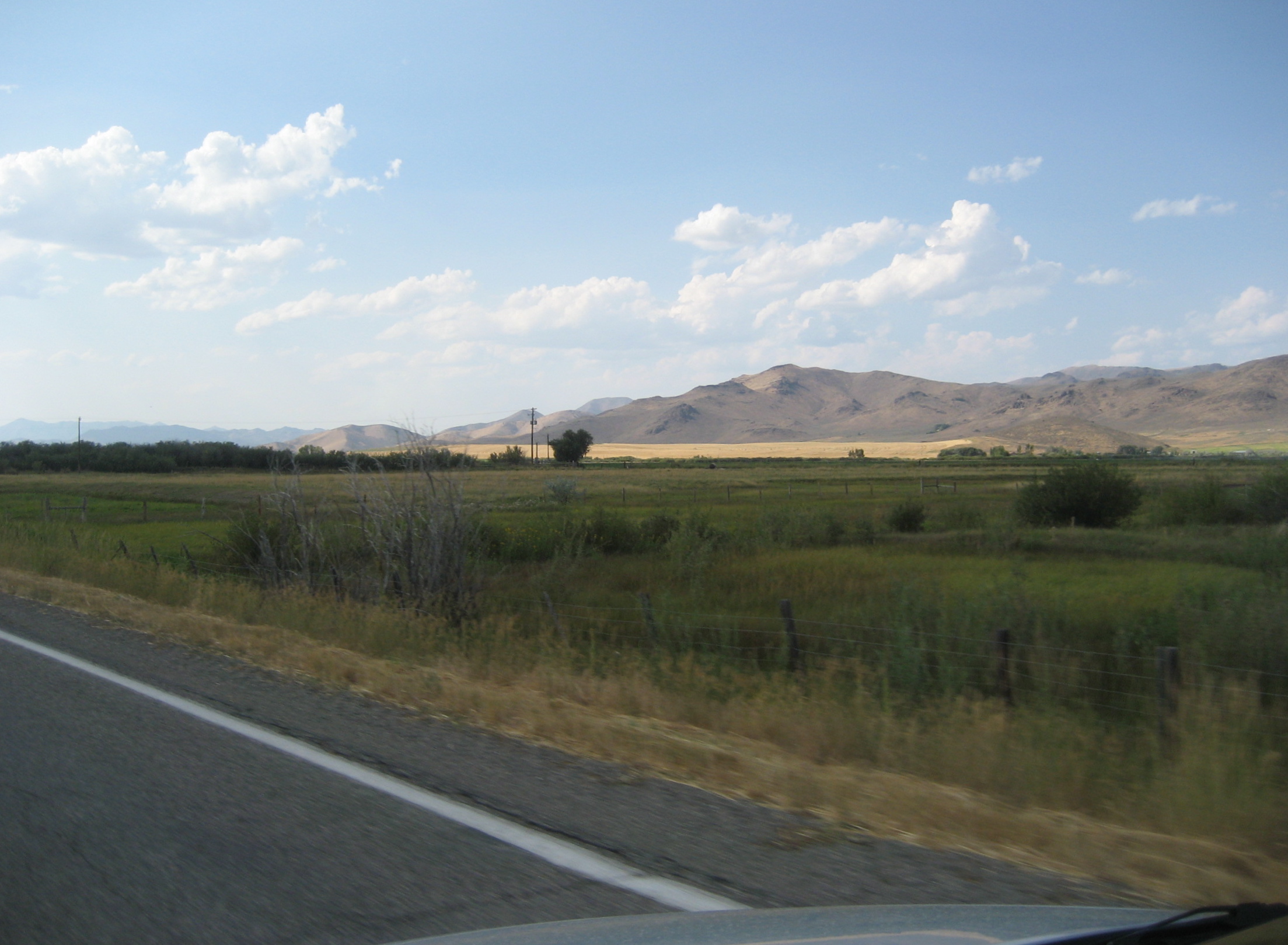
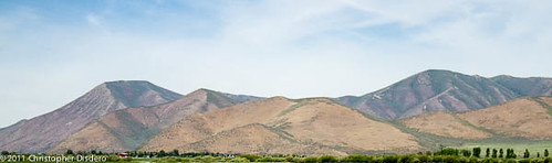
Distant Hills
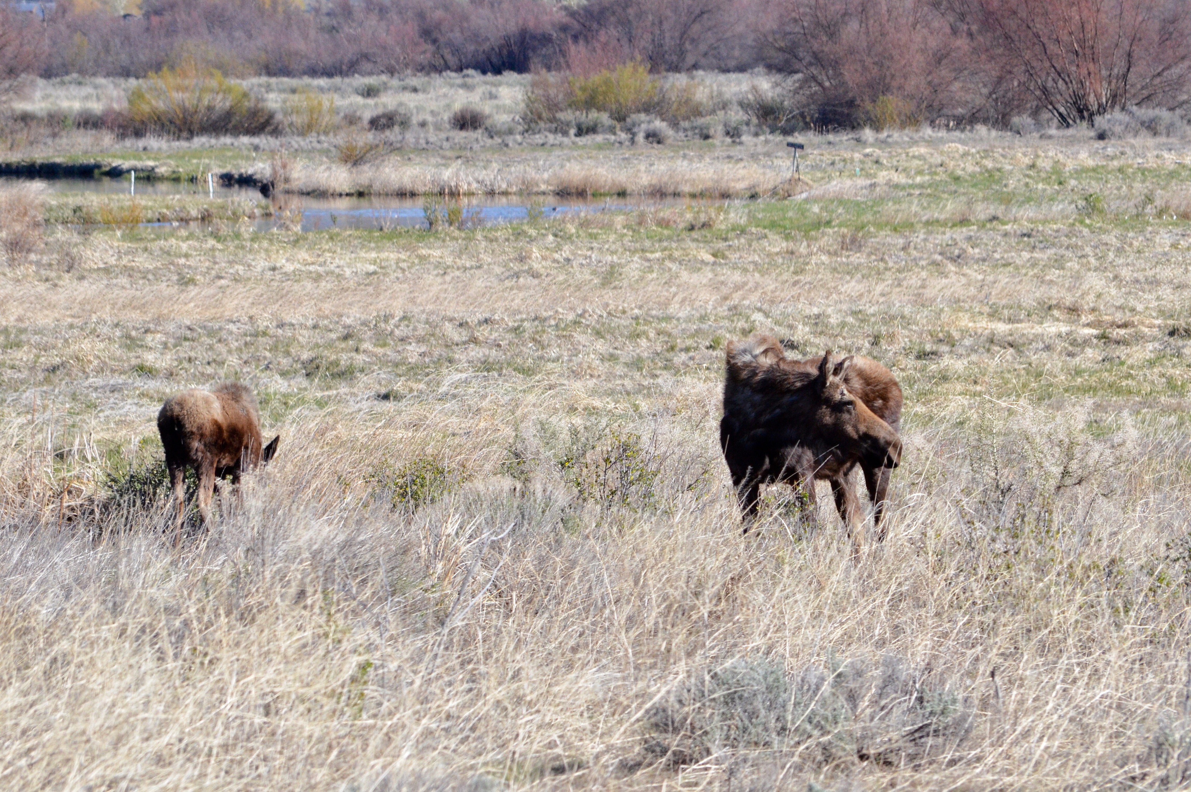
Moose at Silver Creek Preserve
The Dunes of Idaho
Topographic Map of Carey, ID, USA
Find elevation by address:

Places in Carey, ID, USA:
Places near Carey, ID, USA:
N Main St, Carey, ID, USA
Little Wood Reservoir Road
Little Wood Reservoir Road
Picabo
2nd St, Bellevue, ID, USA
Blaine County
Blaine County
Blaine County
Blaine County
Blaine County
Blaine County
Blaine County
Blaine County
Blaine County
Blaine County
Blaine County
Blaine County
Blaine County
Blaine County
Blaine County
Recent Searches:
- Elevation of W Granada St, Tampa, FL, USA
- Elevation of Pykes Down, Ivybridge PL21 0BY, UK
- Elevation of Jalan Senandin, Lutong, Miri, Sarawak, Malaysia
- Elevation of Bilohirs'k
- Elevation of 30 Oak Lawn Dr, Barkhamsted, CT, USA
- Elevation of Luther Road, Luther Rd, Auburn, CA, USA
- Elevation of Unnamed Road, Respublika Severnaya Osetiya — Alaniya, Russia
- Elevation of Verkhny Fiagdon, North Ossetia–Alania Republic, Russia
- Elevation of F. Viola Hiway, San Rafael, Bulacan, Philippines
- Elevation of Herbage Dr, Gulfport, MS, USA