Elevation of N Interstate 35 Frontage Rd, West, TX, USA
Location: United States > Texas > Mclennan County > West >
Longitude: -97.089129
Latitude: 31.8365567
Elevation: 188m / 617feet
Barometric Pressure: 99KPa
Elevation Map:
Satellite Map:
Related Photos:
Penelope-22

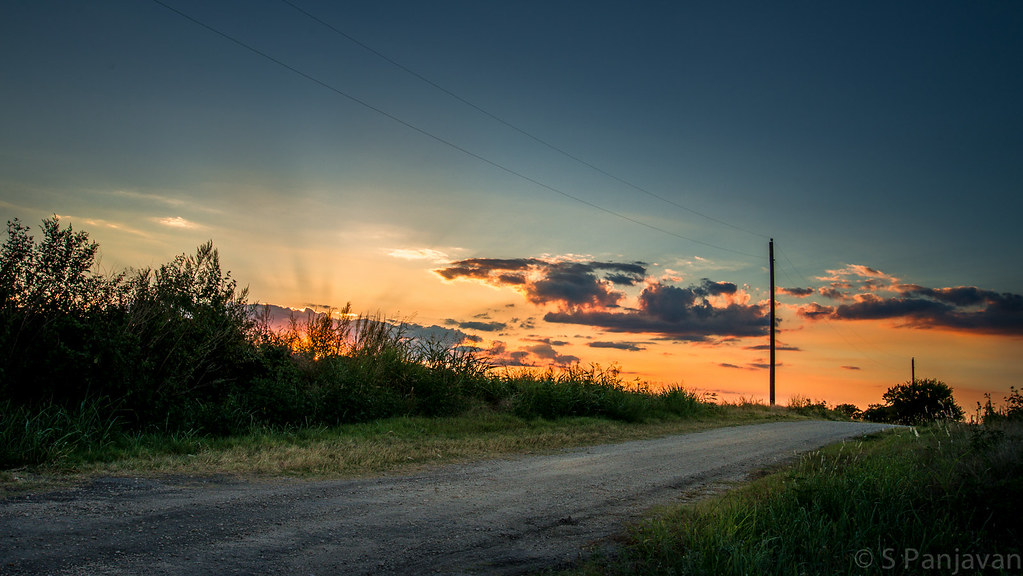
Sunset O'Clock, Leroy, Texas

020313-Patten's Mill, Texas - 001
Hillsboro, TX Rest Area

171/366 I-35 North

Go West young man. #Ikolachewest.com @ryanlsumner
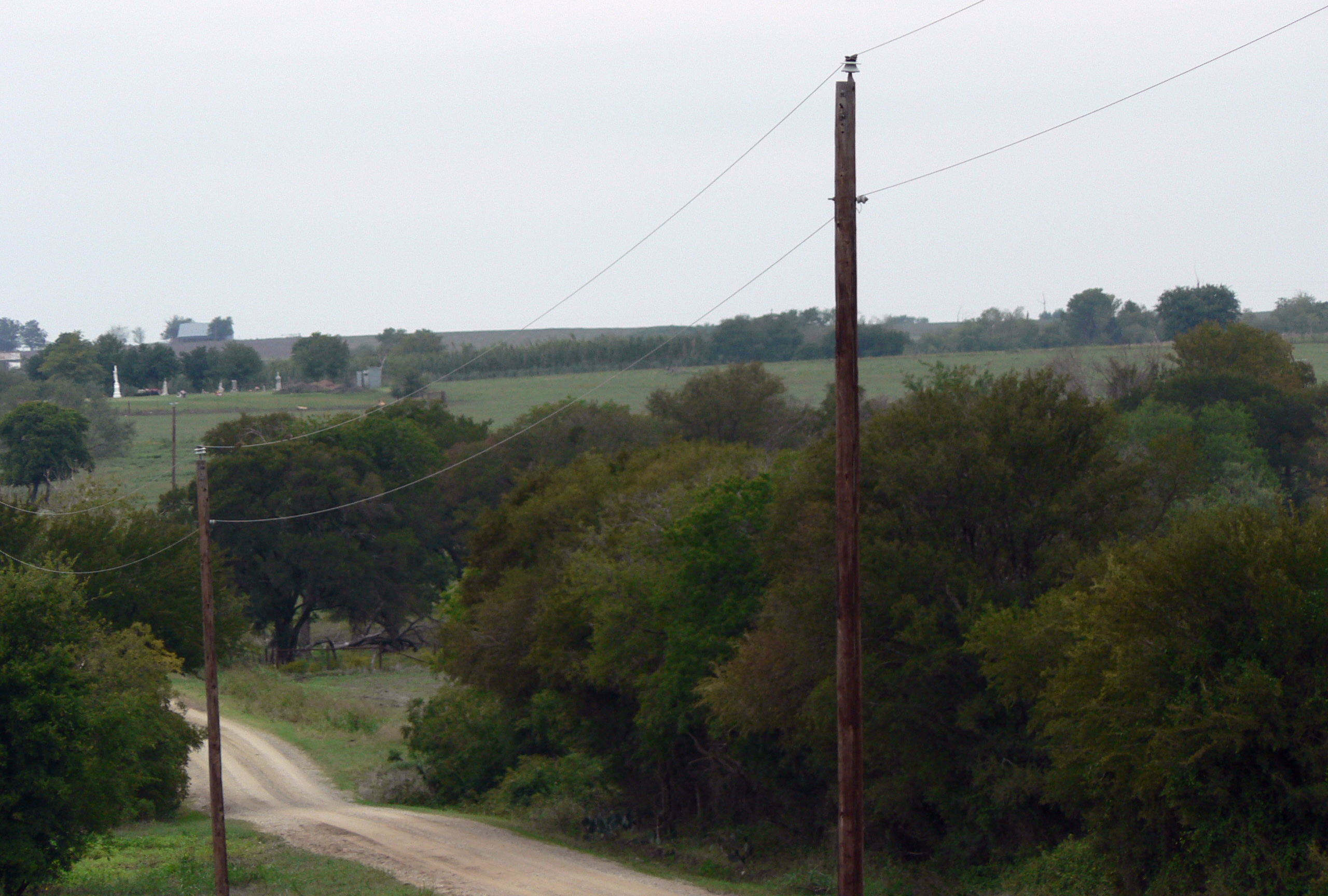
Elm Mott
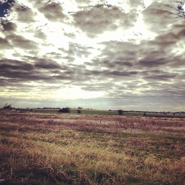
Rural central texas #landscape #cloudscape #texas

Sunset (HDR Version)
A Path Along The Sunset

On the Road to Dallas
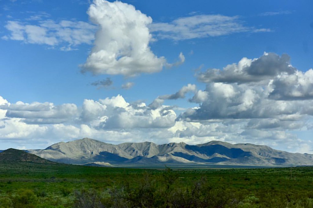
Helloooooo #mountains #westtexas #landscape #onassignment
Topographic Map of N Interstate 35 Frontage Rd, West, TX, USA
Find elevation by address:

Places near N Interstate 35 Frontage Rd, West, TX, USA:
402 N Marable St
402 N Marable St
West
Cottonwood Spr, West, TX, USA
Abbott
West, TX, USA
HCR, Abbott, TX, USA
Rice Creek Rd, West, TX, USA
703 Sunset Oak
Ross Rd, Elm Mott, TX, USA
Ross
Aquilla
Aquilla Lake
Hcr 3124
S Waco St, Hillsboro, TX, USA
Elm Mott
1054 E Elm St
Hillsboro
100 Spring Oak
TX-22, Hillsboro, TX, USA
Recent Searches:
- Elevation of 3 Nestling Wood Dr, Long Valley, NJ, USA
- Elevation of Ilungu, Tanzania
- Elevation of Yellow Springs Road, Yellow Springs Rd, Chester Springs, PA, USA
- Elevation of Rēzekne Municipality, Latvia
- Elevation of Plikpūrmaļi, Vērēmi Parish, Rēzekne Municipality, LV-, Latvia
- Elevation of 2 Henschke Ct, Caboolture QLD, Australia
- Elevation of Redondo Ave, Long Beach, CA, USA
- Elevation of Sadovaya Ulitsa, 20, Rezh, Sverdlovskaya oblast', Russia
- Elevation of Ulitsa Kalinina, 79, Rezh, Sverdlovskaya oblast', Russia
- Elevation of 72-31 Metropolitan Ave, Middle Village, NY, USA