Elevation of Cottonwood Spr, West, TX, USA
Location: United States > Texas > Mclennan County > West >
Longitude: -97.042176
Latitude: 31.827965
Elevation: 168m / 551feet
Barometric Pressure: 99KPa
Elevation Map:
Satellite Map:
Related Photos:
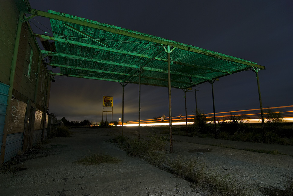
Abbott Truck

Sunset O'Clock, Leroy, Texas
Penelope-22

171/366 I-35 North

A West Texas Sunset

Go West young man. #Ikolachewest.com @ryanlsumner

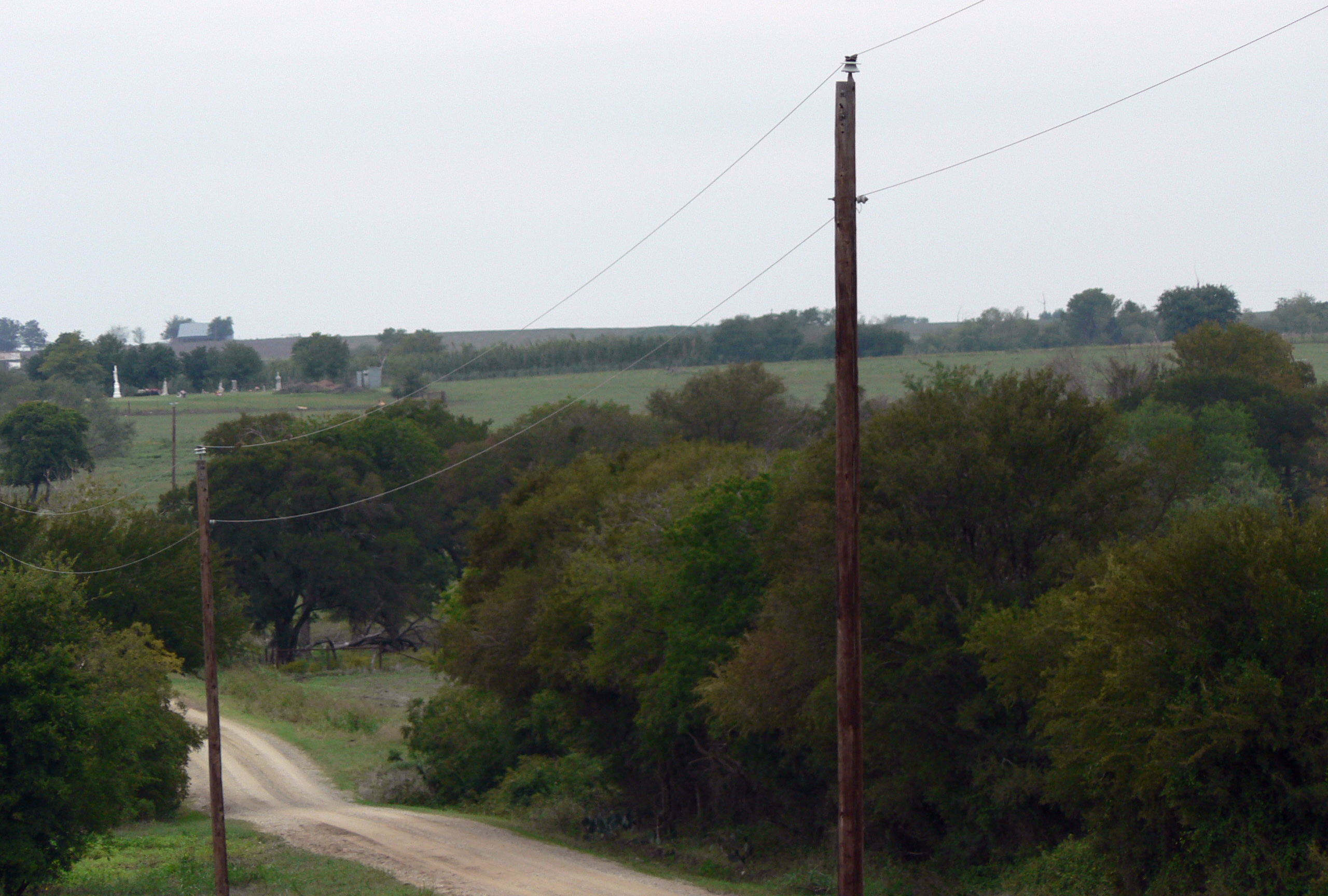
Elm Mott
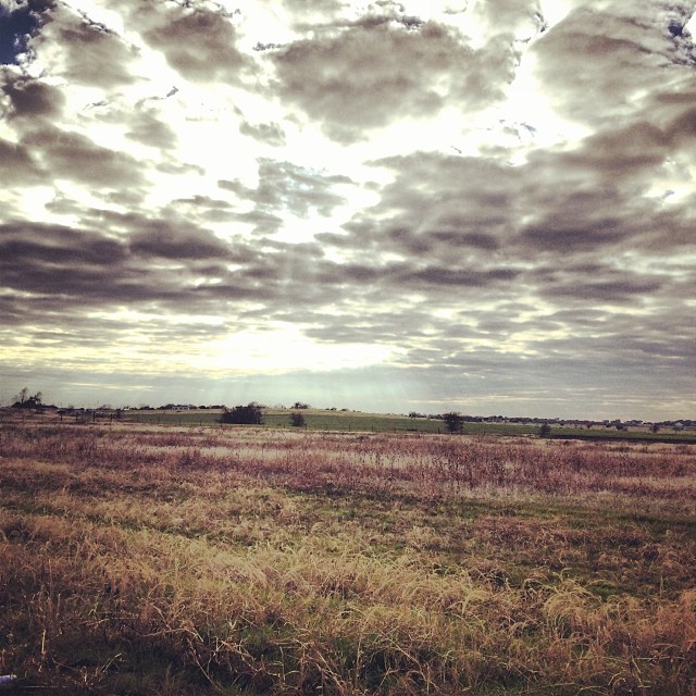
Rural central texas #landscape #cloudscape #texas

A Path Along The Sunset

Sunset (HDR Version)

West, Texas Debris

On the Road to Dallas

Bluebonnets 2006 (crw_6176)
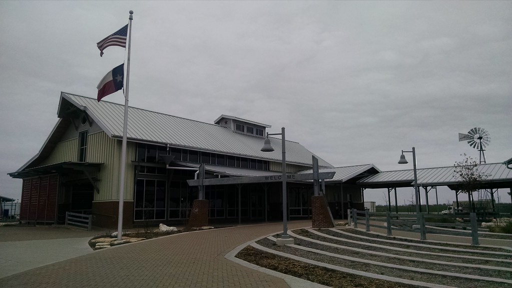
Hillsboro, TX Rest Area
Topographic Map of Cottonwood Spr, West, TX, USA
Find elevation by address:

Places near Cottonwood Spr, West, TX, USA:
24132 N Interstate 35 Frontage Rd
West
402 N Marable St
402 N Marable St
West, TX, USA
Abbott
Rice Creek Rd, West, TX, USA
HCR, Abbott, TX, USA
703 Sunset Oak
Ross Rd, Elm Mott, TX, USA
Ross
Hcr 3124
Elm Mott
Aquilla
Aquilla Lake
S Waco St, Hillsboro, TX, USA
1054 E Elm St
100 Spring Oak
600 N Scarlett Dr
Hillsboro
Recent Searches:
- Elevation of Spaceport America, Co Rd A, Truth or Consequences, NM, USA
- Elevation of Warwick, RI, USA
- Elevation of Fern Rd, Whitmore, CA, USA
- Elevation of 62 Abbey St, Marshfield, MA, USA
- Elevation of Fernwood, Bradenton, FL, USA
- Elevation of Felindre, Swansea SA5 7LU, UK
- Elevation of Leyte Industrial Development Estate, Isabel, Leyte, Philippines
- Elevation of W Granada St, Tampa, FL, USA
- Elevation of Pykes Down, Ivybridge PL21 0BY, UK
- Elevation of Jalan Senandin, Lutong, Miri, Sarawak, Malaysia