Elevation of N Elbert Rd, Elbert, CO, USA
Location: United States > Colorado > Elbert County > Elbert >
Longitude: -104.53662
Latitude: 39.2209877
Elevation: 2048m / 6719feet
Barometric Pressure: 79KPa
Elevation Map:
Satellite Map:
Related Photos:

View from the Fire Tower

Door - Inside View
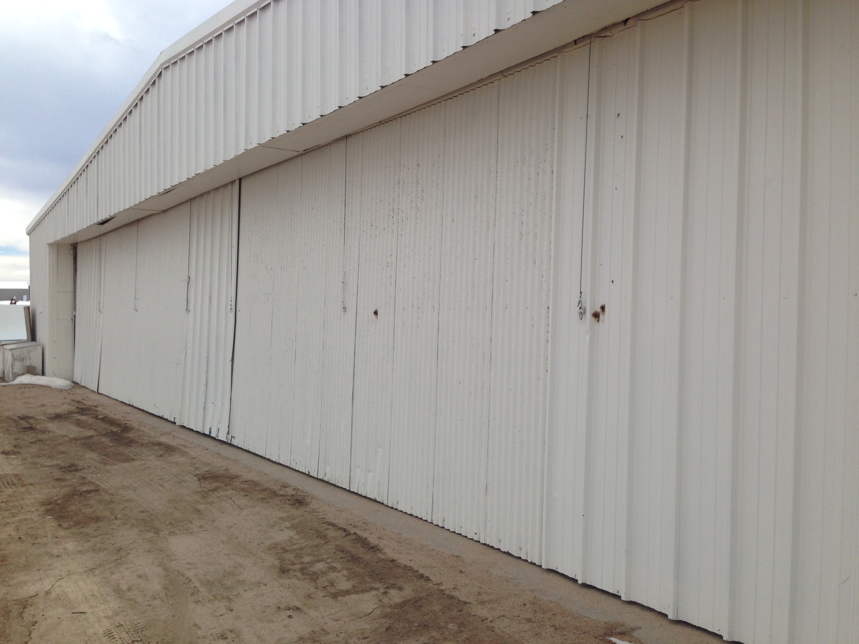
Hanger Door - Outside view

Sundown: Douglas County, Colorado (CO)

Windmill at Sunset: Douglas County, Colorado (CO)
_DSC2627.JPG
_DSC2607.JPG
_DSC2609.JPG
_DSC2608.JPG

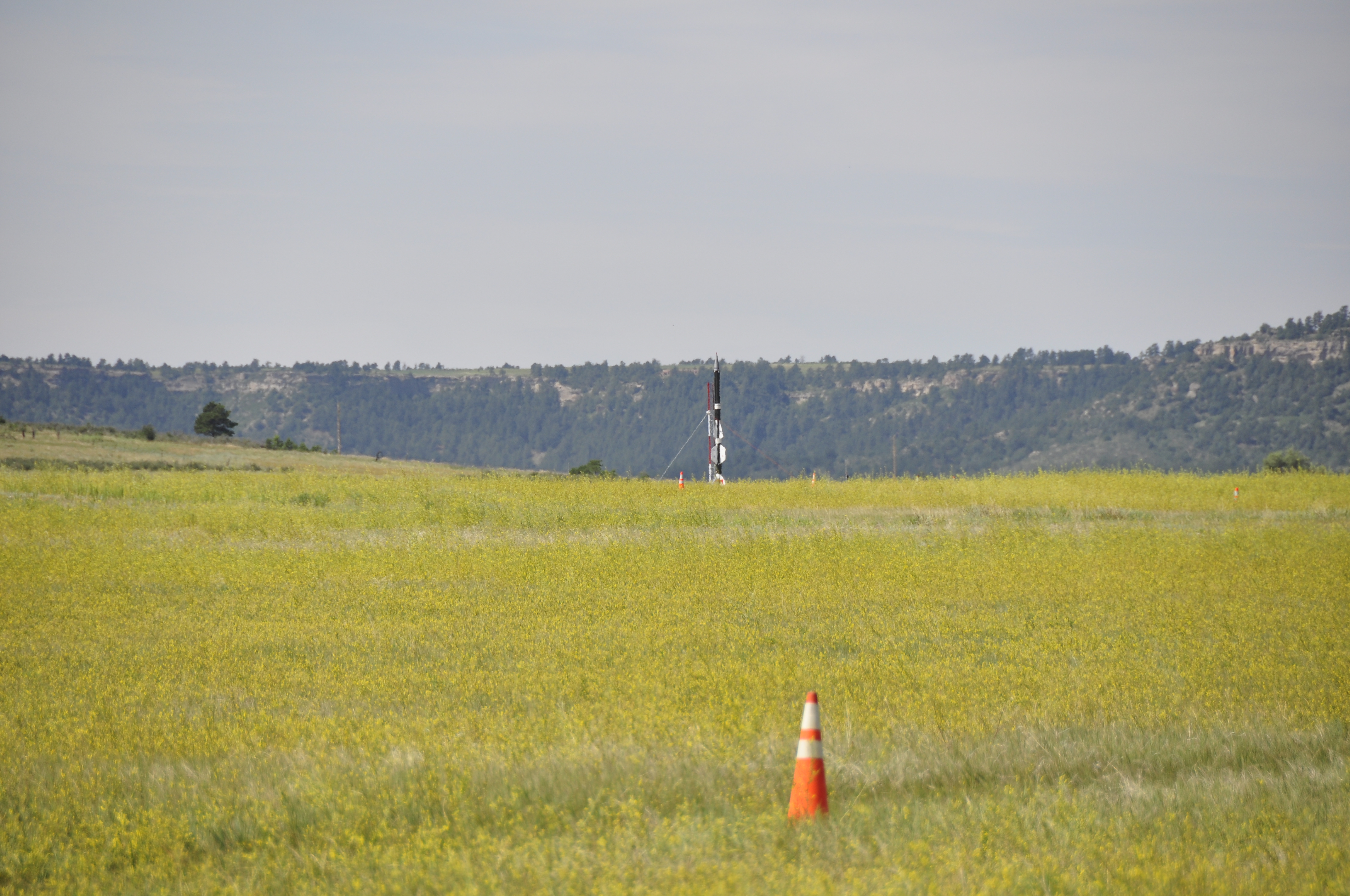
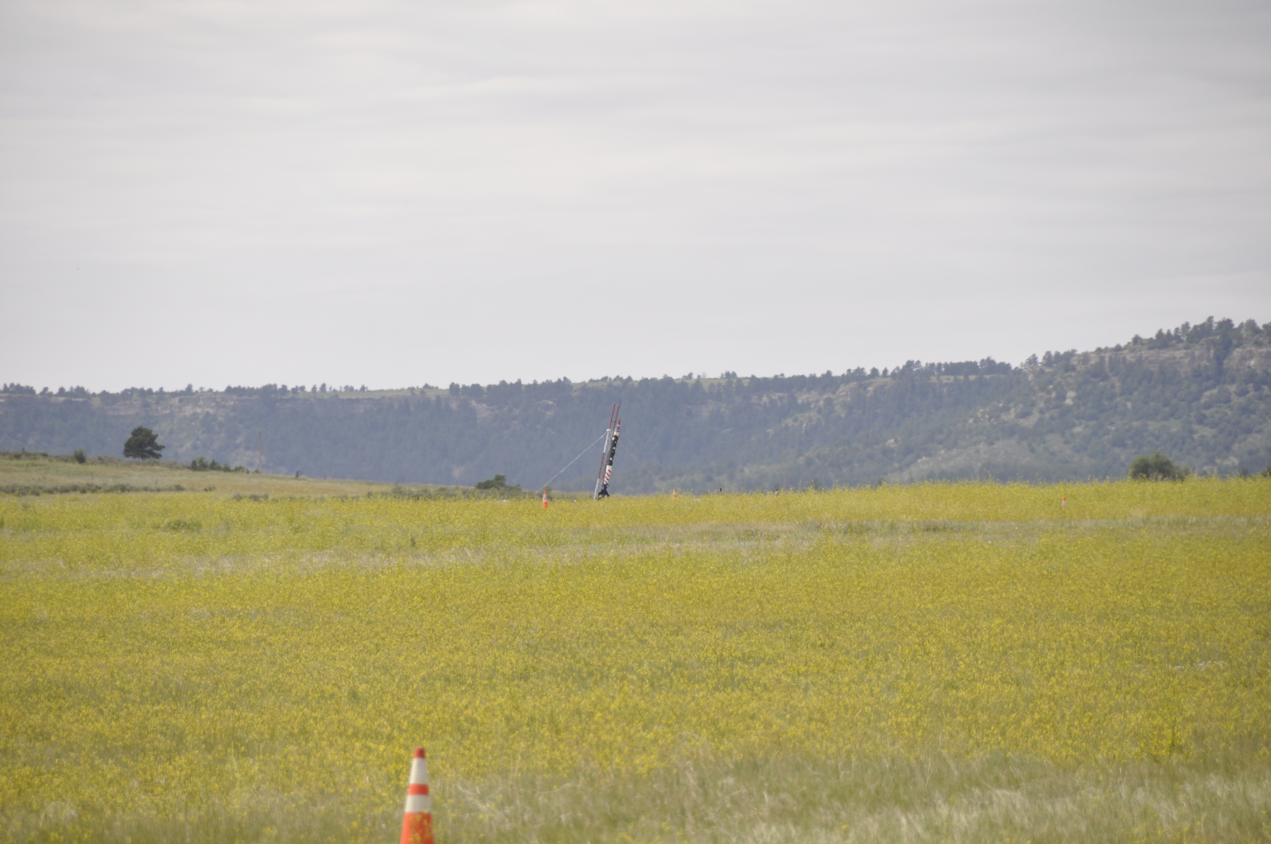
Middle Of Nowhere
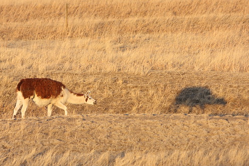
Me & my Shadow
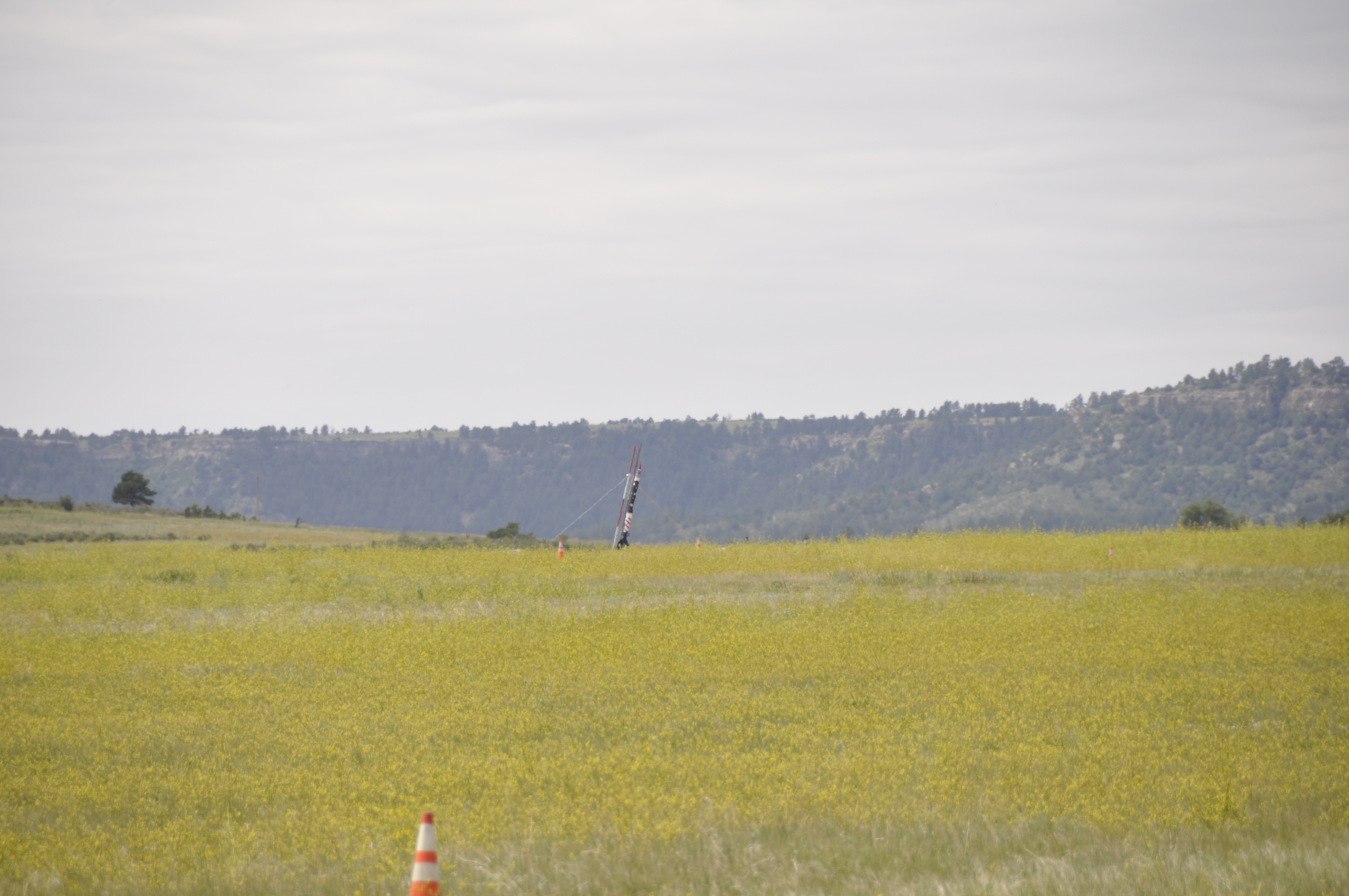
_DSC2659.JPG
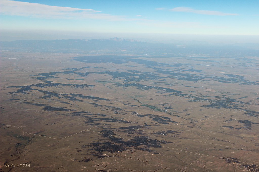
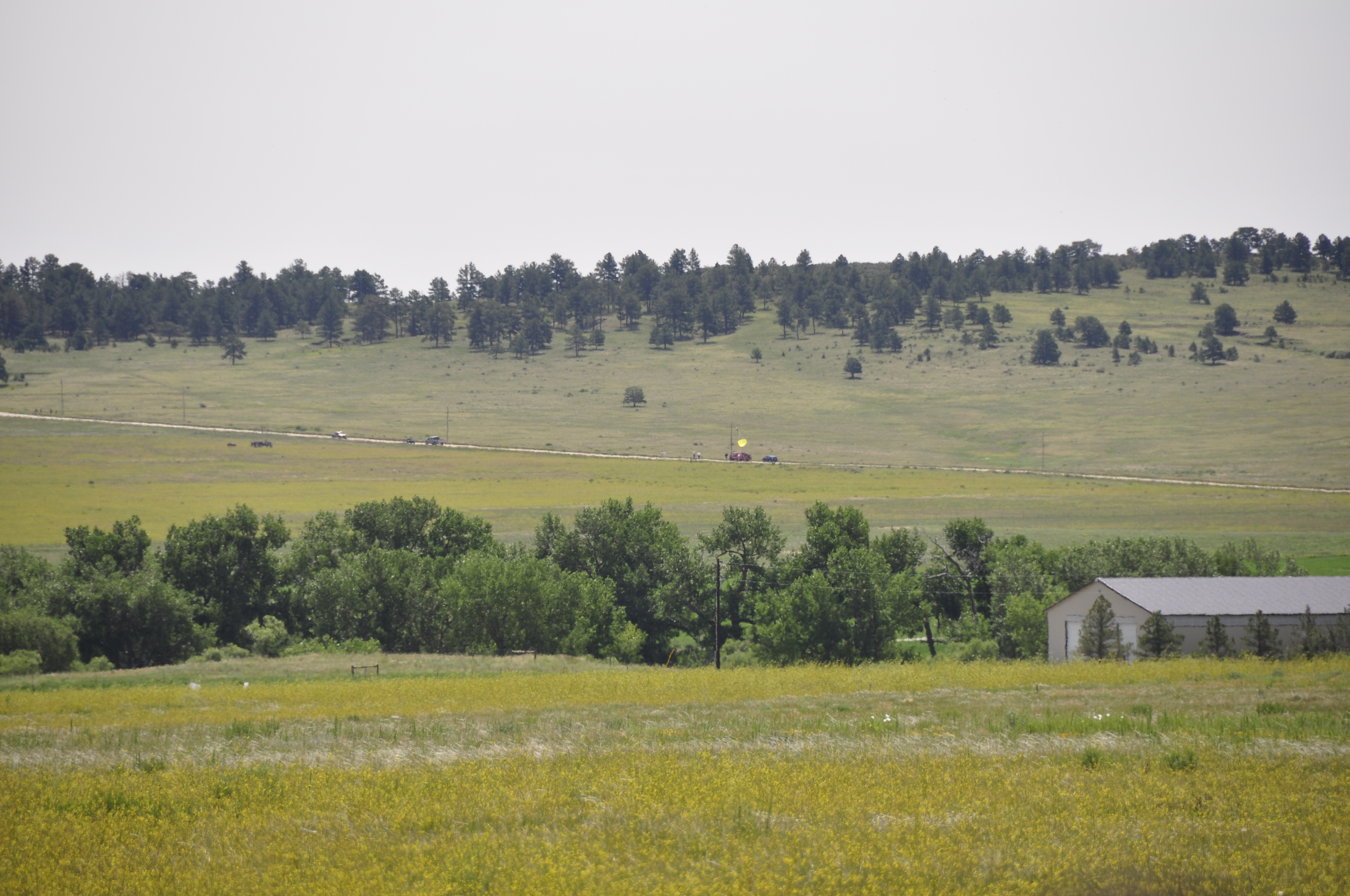
Black Forest & Rockies

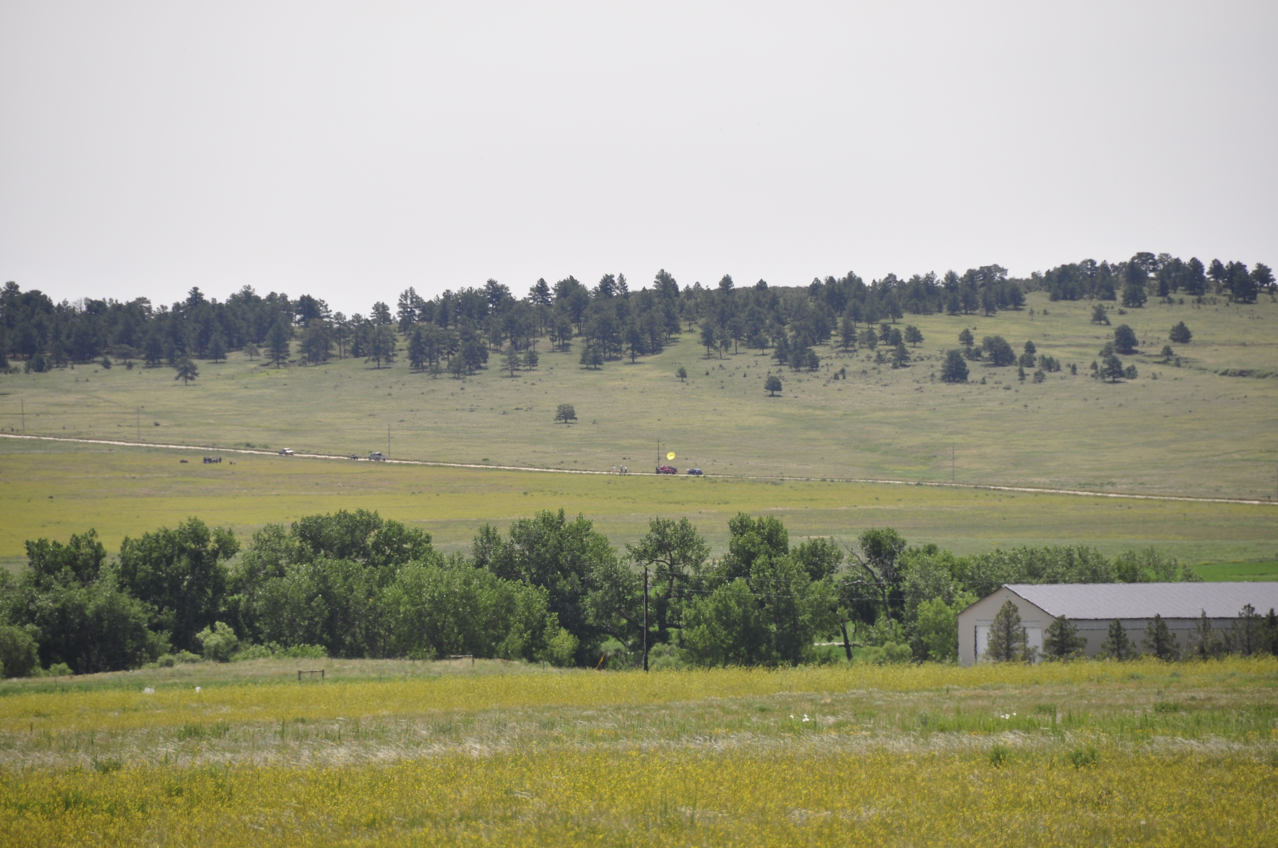
Pikes Peak
_DSC2660.JPG

2012-08-06 08.44.31

George's cows - taken with my iPhone
_DSC2637.JPG
_DSC2636.JPG
_DSC2638.JPG
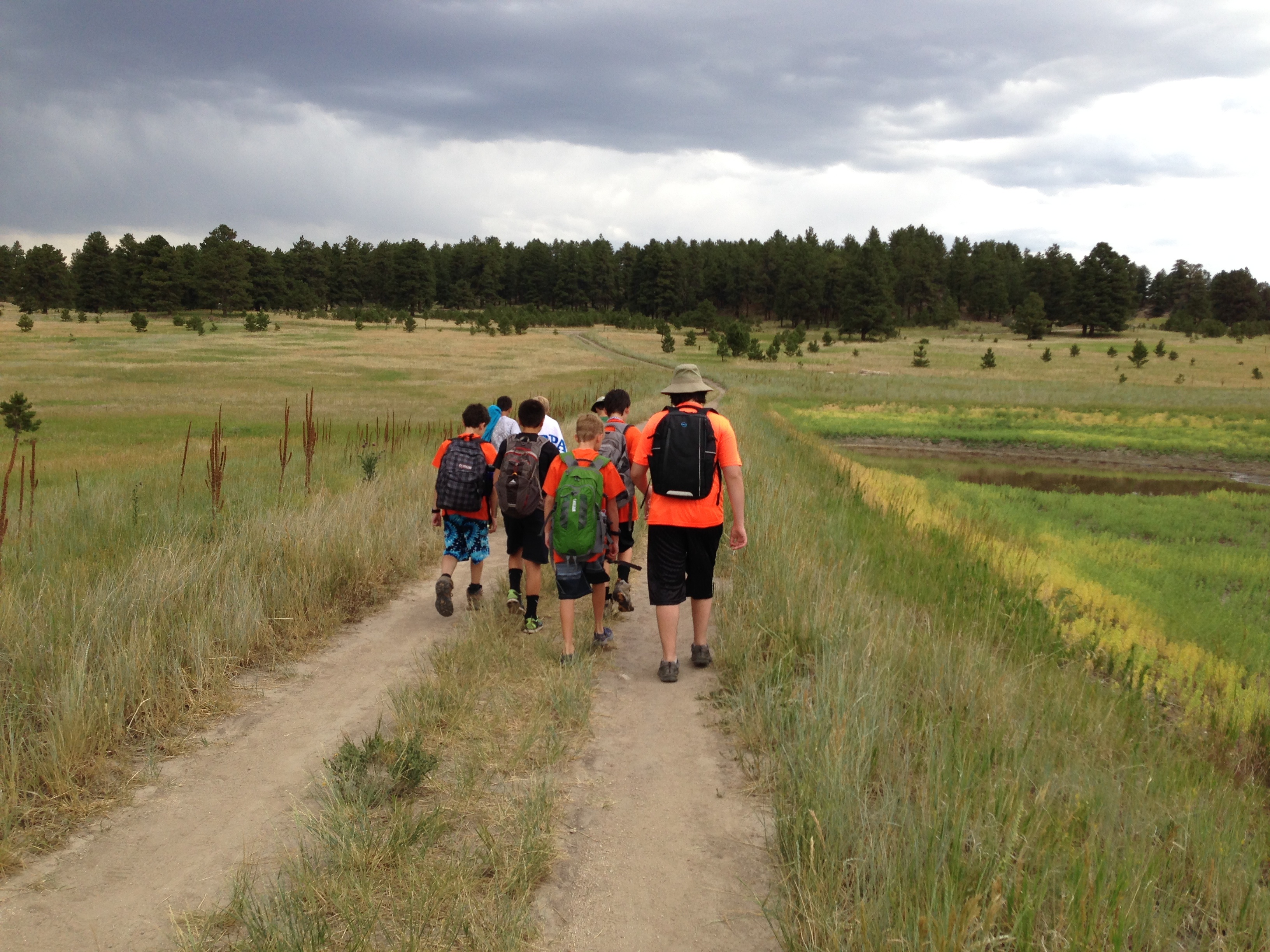
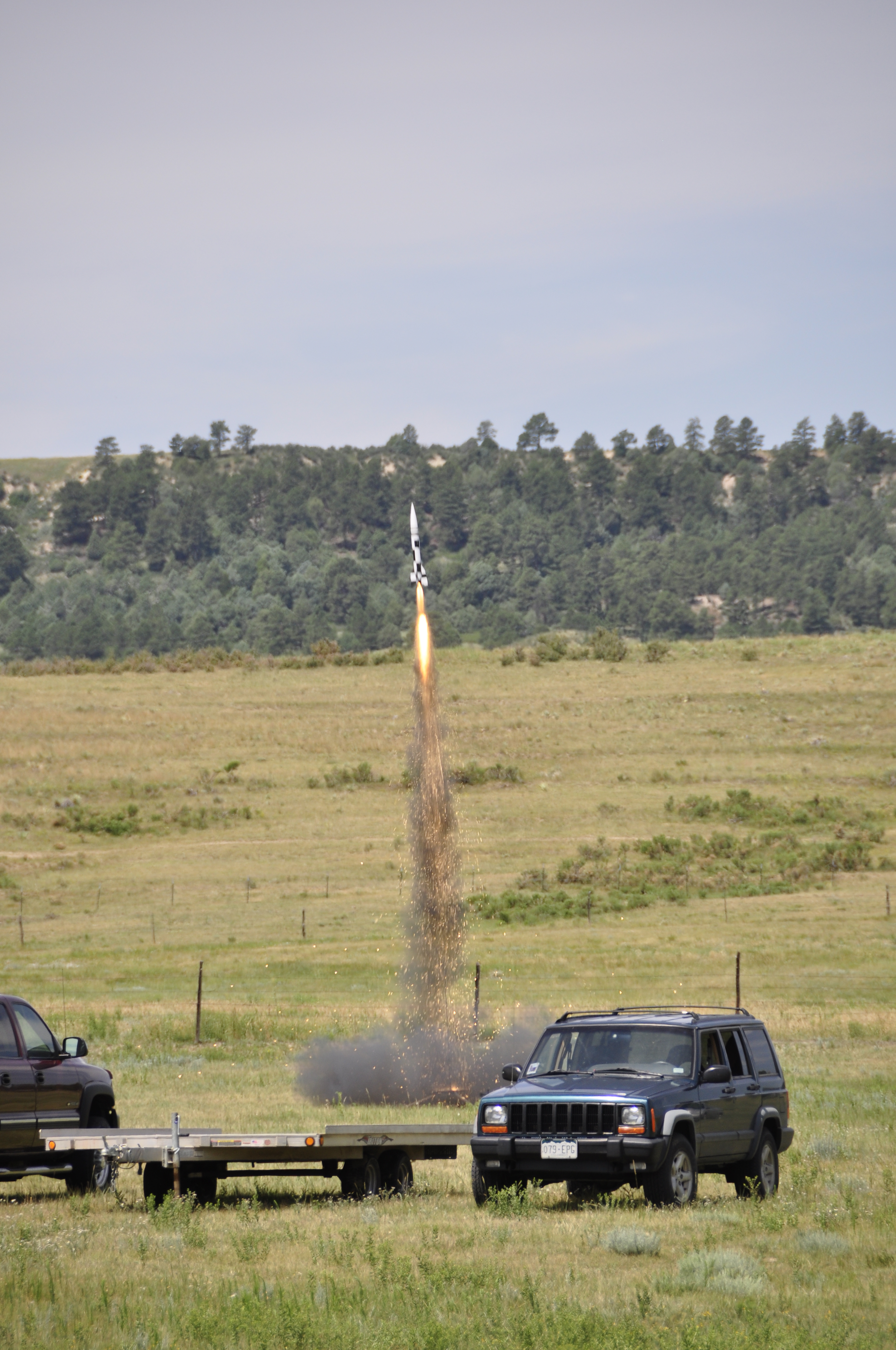
Heading back from Day 1 of the Rifle merit badge
_DSC2650.JPG
_DSC2631.JPG

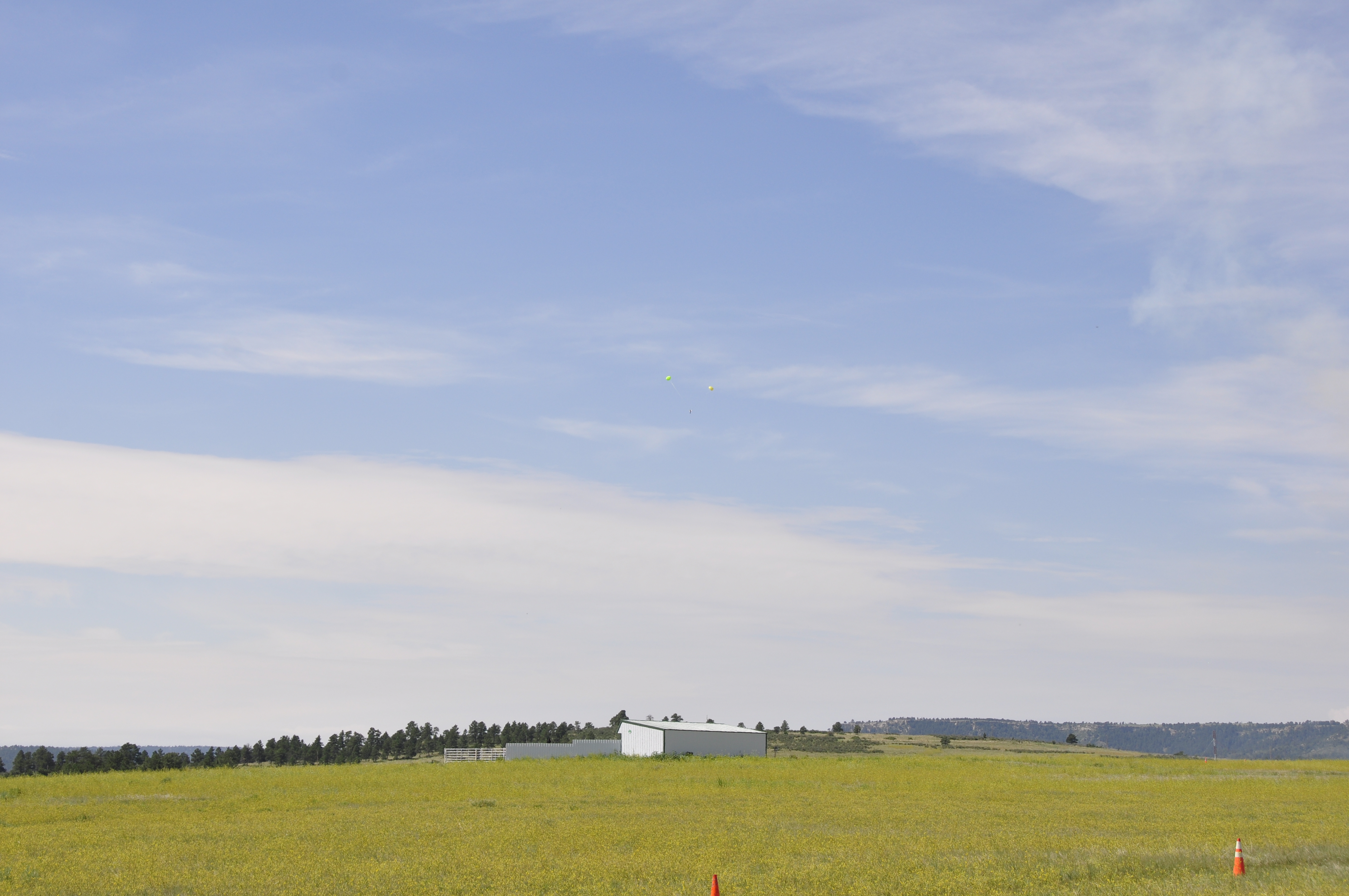
Barn on Elbert Road
Topographic Map of N Elbert Rd, Elbert, CO, USA
Find elevation by address:

Places near N Elbert Rd, Elbert, CO, USA:
Elbert
23856 Elbert St
4330 Co Rd 106
3302 Willownook Ranch Trail
11567 E Broadview Dr
27598 Forest Ridge Dr
27614 E Broadview Dr
6507 Arrowhead Trail
7397 Pine Crest Dr
Cave Spring Trail
32700 Co Rd 17/21
Cave Spring Drive
11994 Pine Meadows Dr
31575 Co Rd 9
33946 Goldfinch Dr
34404 Goldenrod Cir
Kiowa
Kiowa-Bennett Rd, Kiowa, CO, USA
33488 Meadow Ln
Elizabeth
Recent Searches:
- Elevation of Congressional Dr, Stevensville, MD, USA
- Elevation of Bellview Rd, McLean, VA, USA
- Elevation of Stage Island Rd, Chatham, MA, USA
- Elevation of Shibuya Scramble Crossing, 21 Udagawacho, Shibuya City, Tokyo -, Japan
- Elevation of Jadagoniai, Kaunas District Municipality, Lithuania
- Elevation of Pagonija rock, Kranto 7-oji g. 8"N, Kaunas, Lithuania
- Elevation of Co Rd 87, Jamestown, CO, USA
- Elevation of Tenjo, Cundinamarca, Colombia
- Elevation of Côte-des-Neiges, Montreal, QC H4A 3J6, Canada
- Elevation of Bobcat Dr, Helena, MT, USA